Elevation of Mount Erskine Drive, Mt Erskine Dr, Salt Spring Island, BC V8K 2N1, Canada
Location: Canada > British Columbia > Salt Spring Island >
Longitude: -123.56191
Latitude: 48.8510147
Elevation: 53m / 174feet
Barometric Pressure: 101KPa
Elevation Map:
Satellite Map:
Related Photos:

Knotty Threads
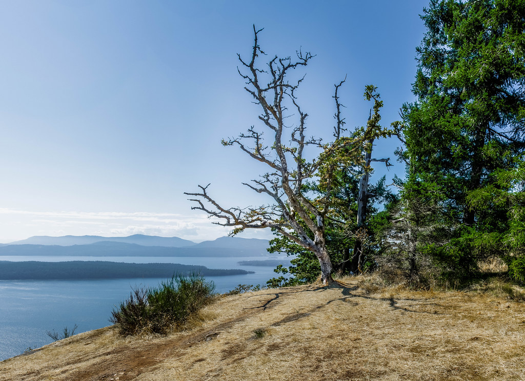
Galiano Oak
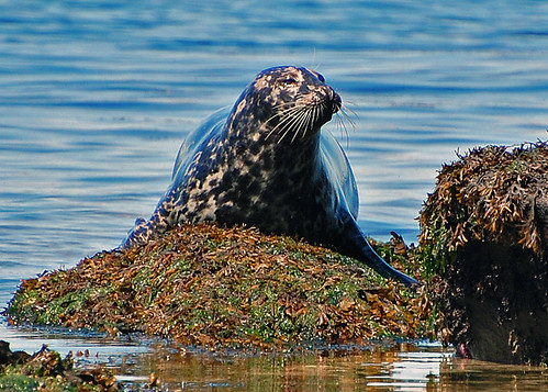
A Resident Sunbather

Pine Siskin

Full Moon Rising (20 of 365)

And to keep me from falling
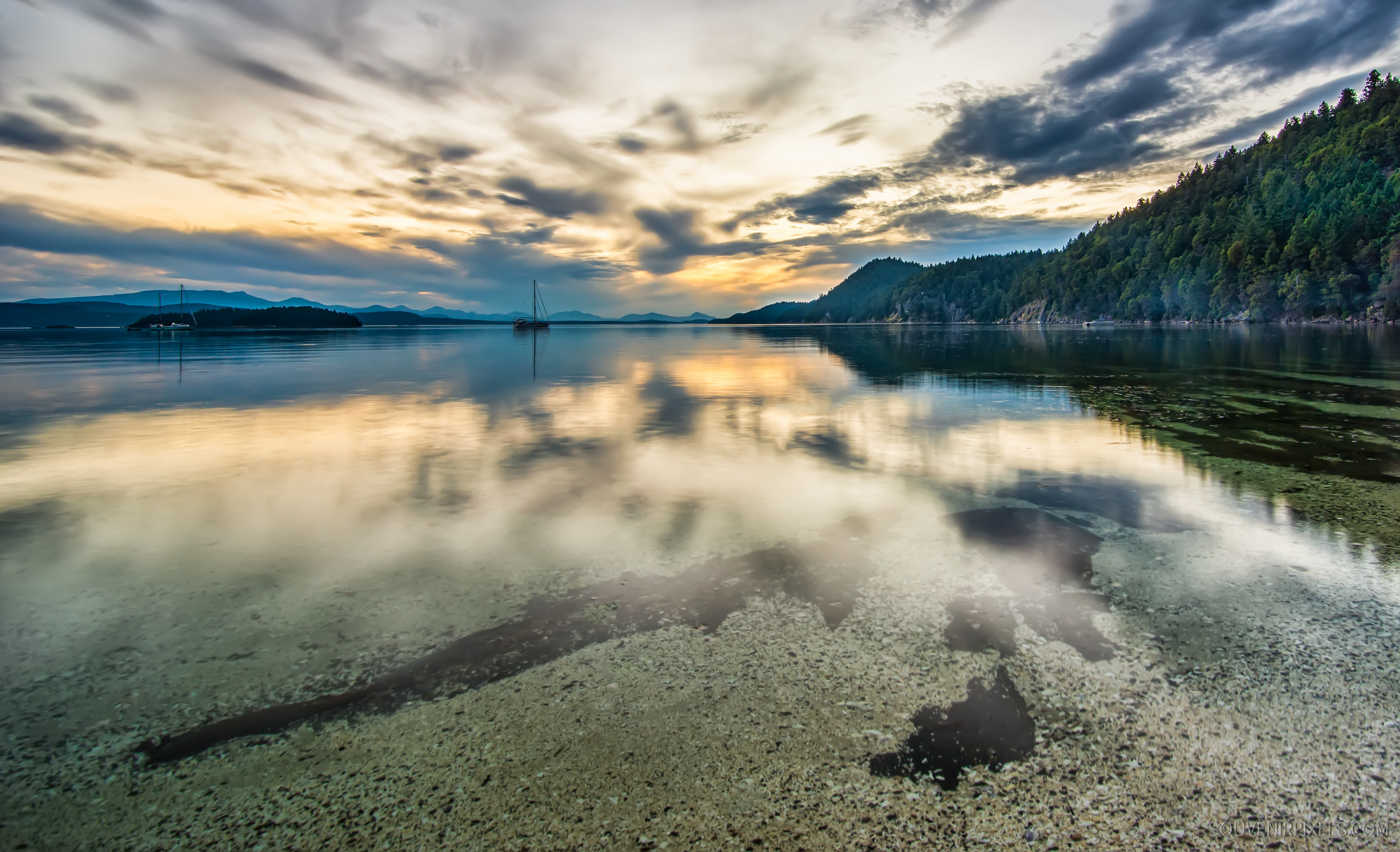
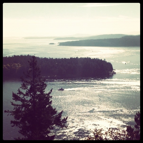
view from the beach (32)
view from the beach (3)
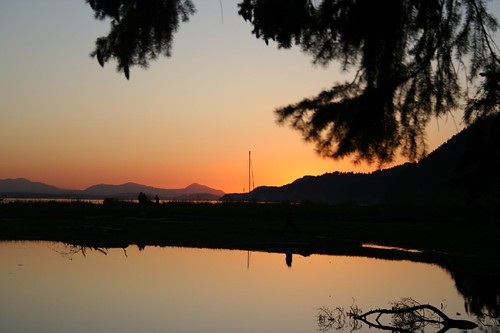
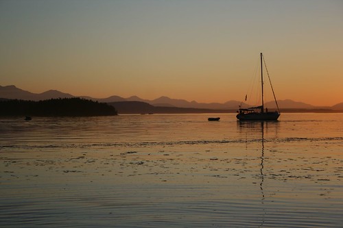
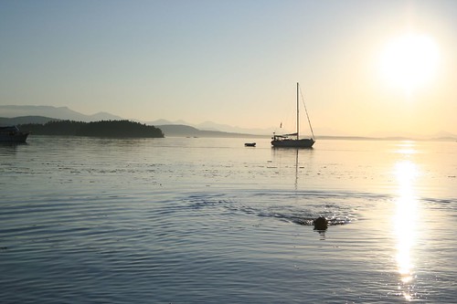
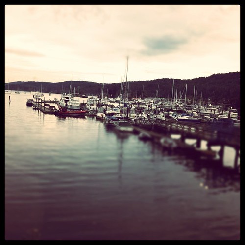
Montague Harbour Sunset

Pioneer house .. Ruckle farm
view from the beach (22)
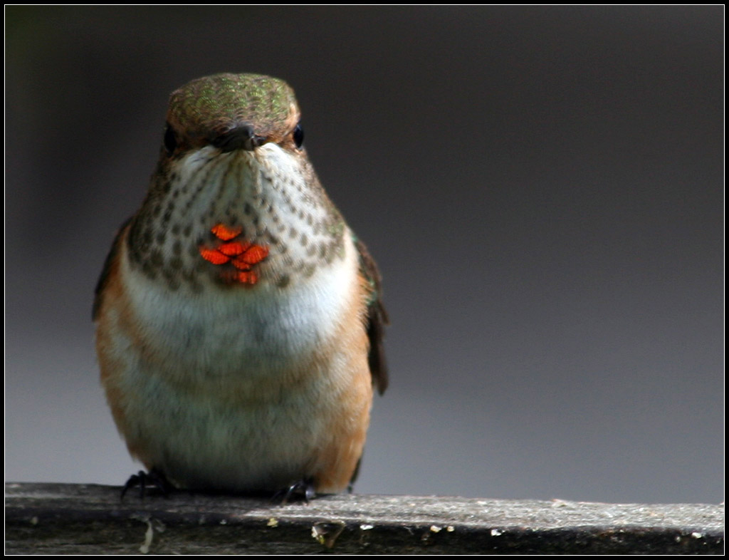
Rufous Hummingbird ♀
view from the beach (9)
view from the beach (10)

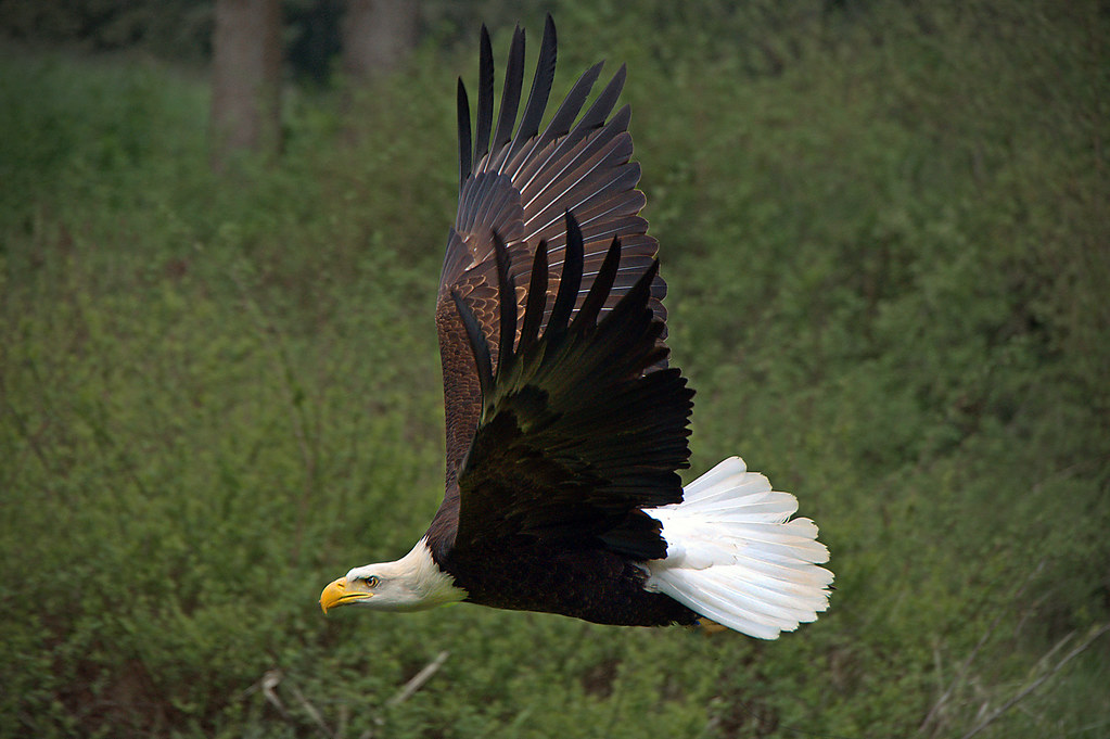
Osprey on white
WORDS OF THE WISE EAGLE
view from the beach (34)
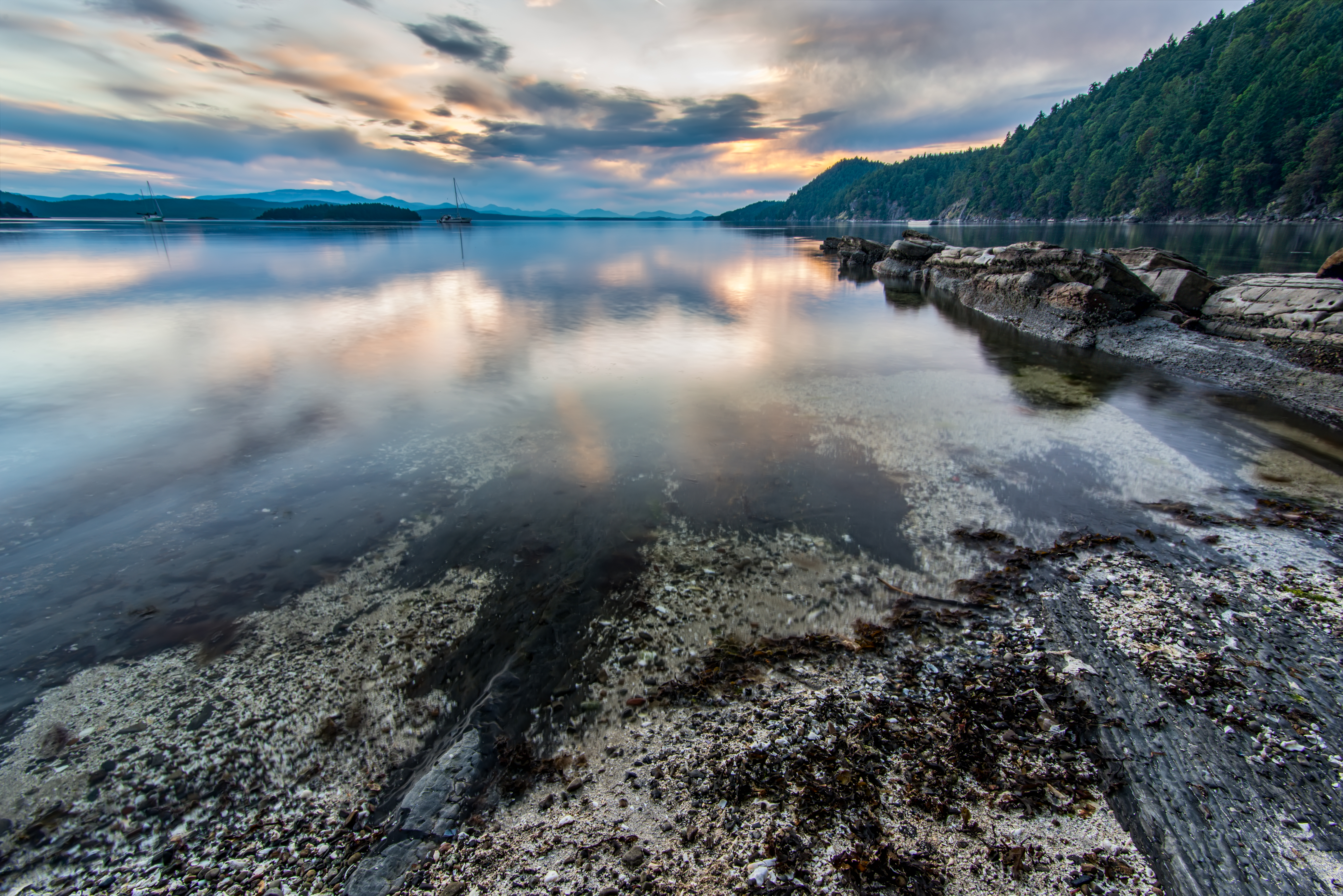
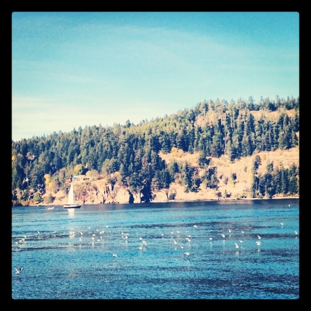
Montague Harbour Rocks
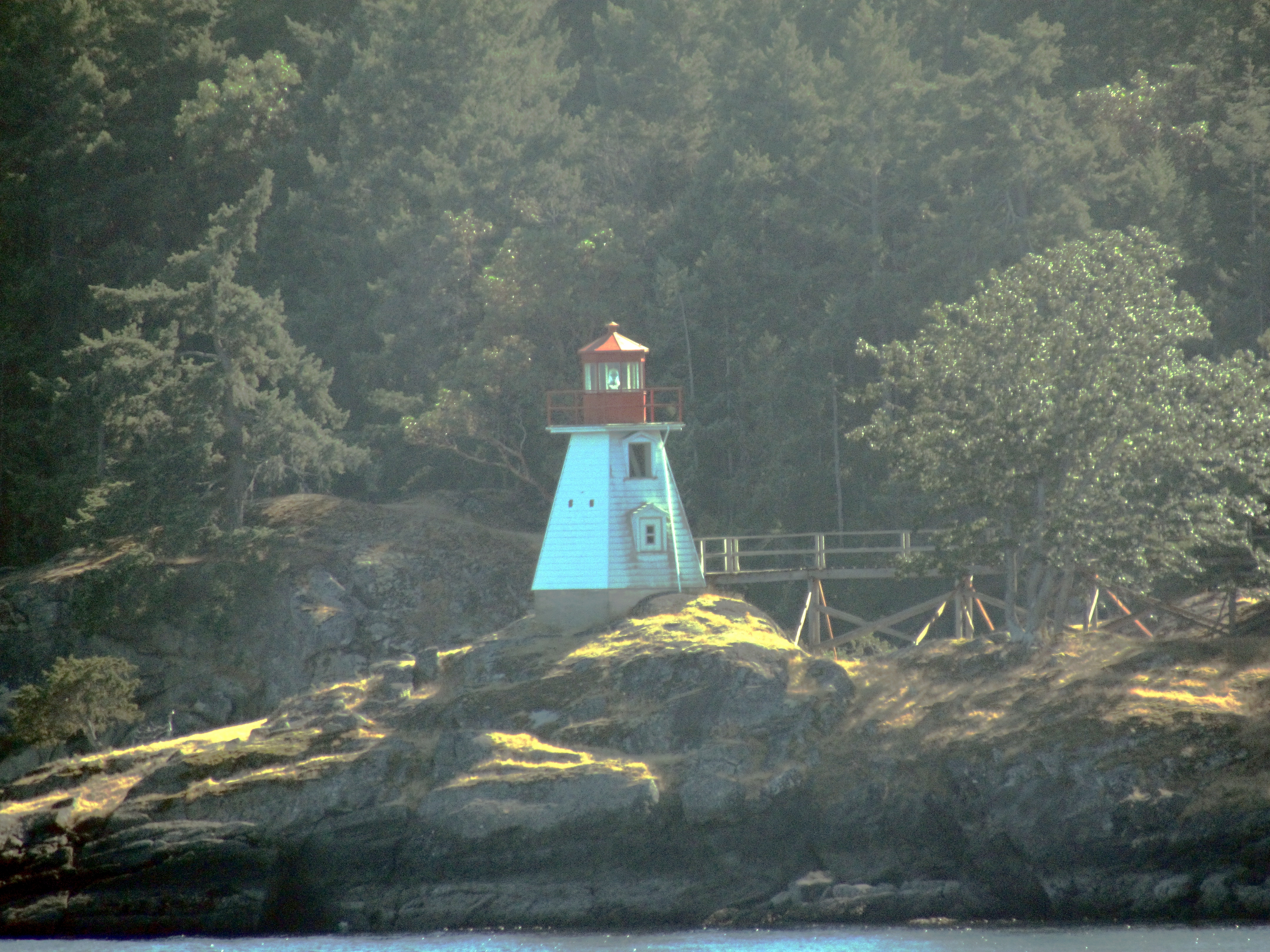
Portlock Point Lighthouse

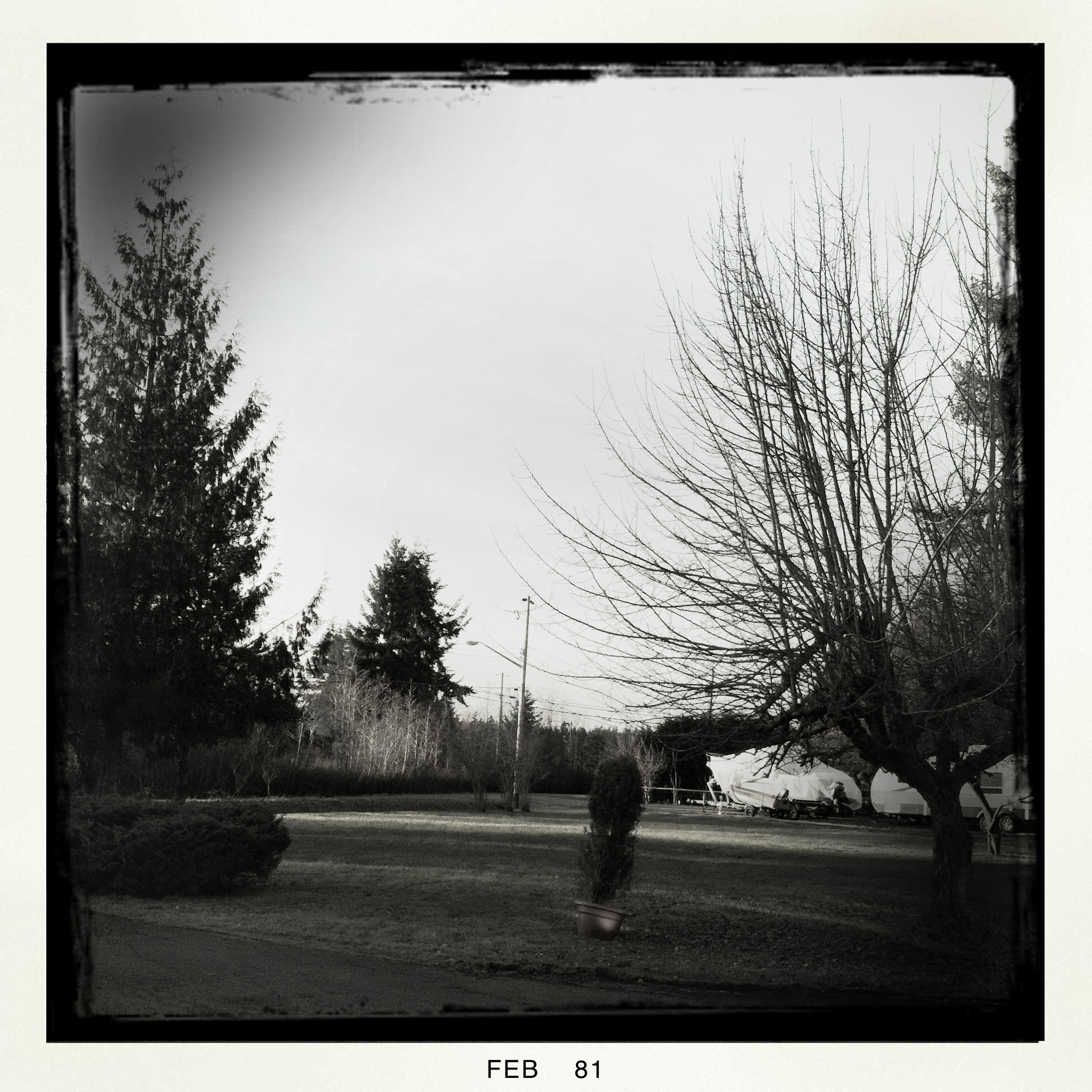
Front Window
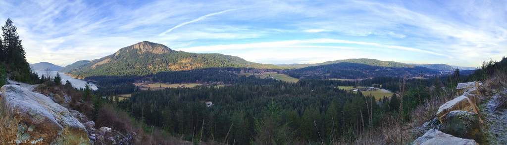
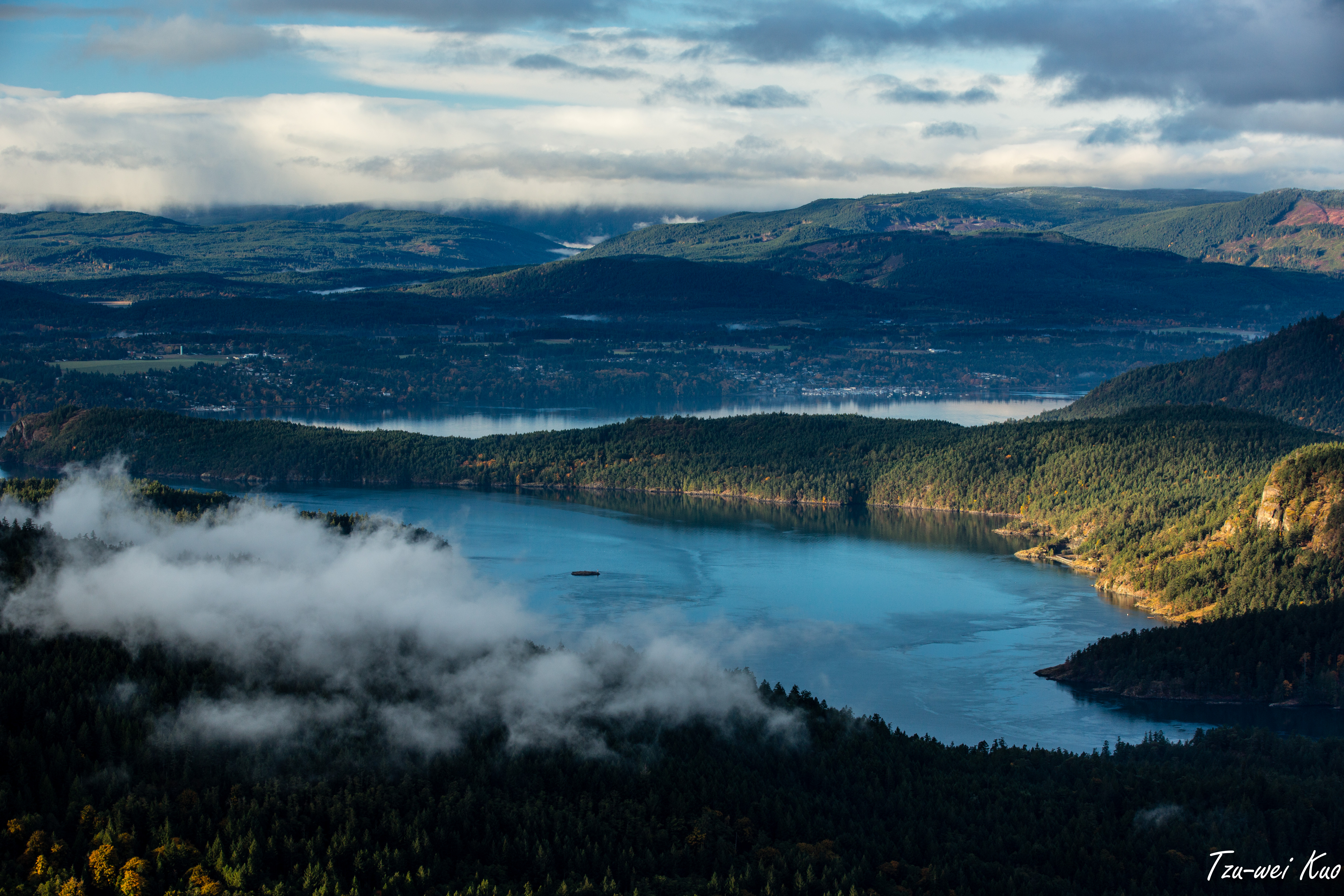
Fulford Valley Panorama
HIP_318297835.305395

FIRE AND RAIN

After the rain

Canada day on Saltspring
2012-10-07 23.50.45
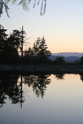
Reflective Wednesday

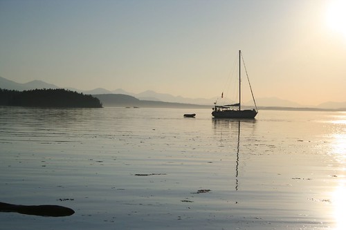
Anchorage, Annette Inlet, Prevost Island

Mini Landscapes Split Rail Fence

Live in the Breath

Koksilah River winter 1
Mini Landscapes Split Rail Fence
Into The Green
Summer photos

On Salt Spring Island. It smells good here.
TWKuo_2012_1021_074.jpg

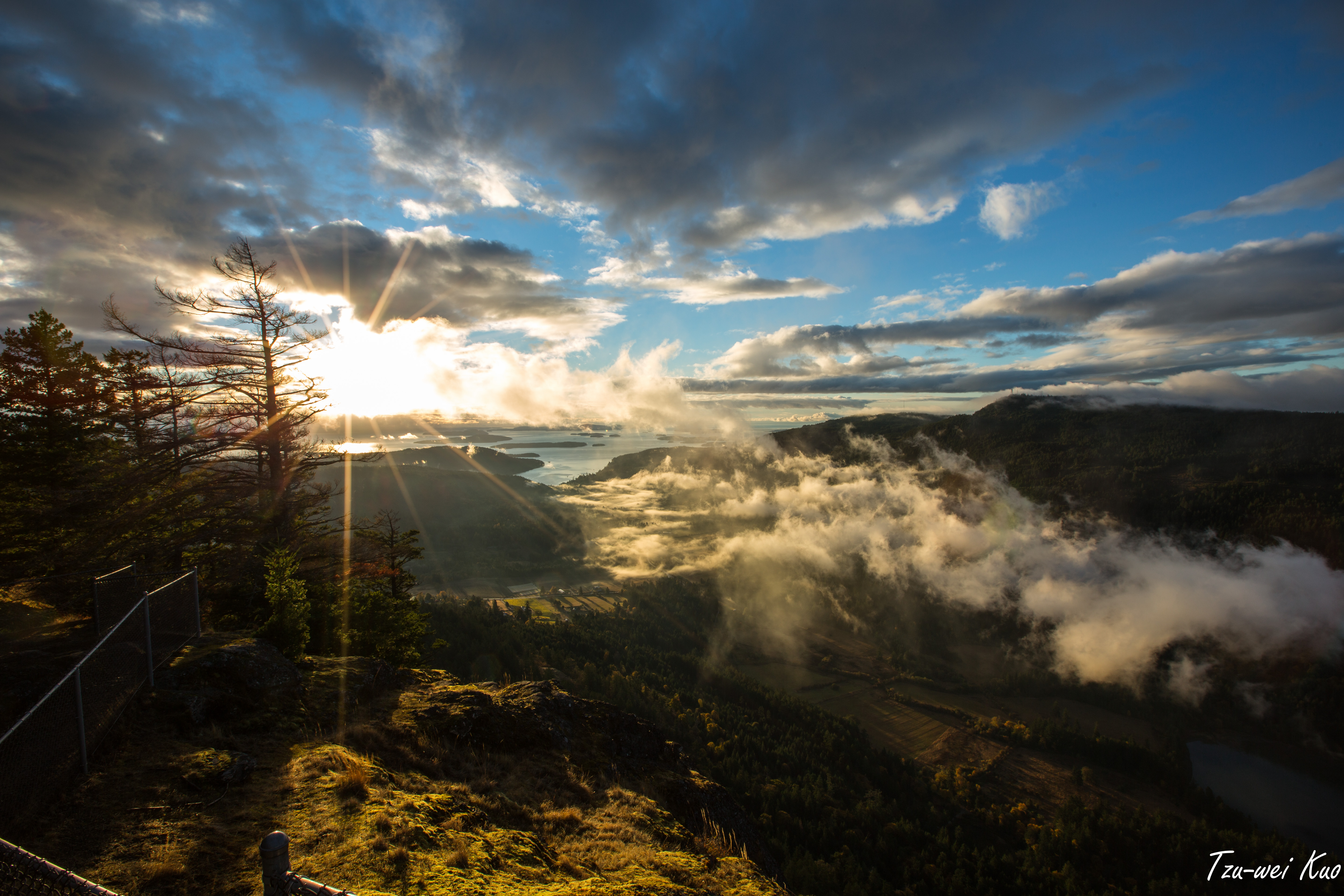
Vancouver Island sunrise light 2
TWKuo_2012_1021_050.jpg
Sitting by the window for the Locavore Winemaker's Dinner (chez @woodfired)
2012-10-08 16.24.52
Topographic Map of Mount Erskine Drive, Mt Erskine Dr, Salt Spring Island, BC V8K 2N1, Canada
Find elevation by address:

Places near Mount Erskine Drive, Mt Erskine Dr, Salt Spring Island, BC V8K 2N1, Canada:
Narrows West Road
320 Collins Rd
Trustees Trail
Wilkie Way
160 Wilkie Way
586 Mt Belcher Heights
589 Mt Belcher Heights
575 Mt Belcher Heights
589 Mt Belcher Heights
589 Mt Belcher Heights
181 Norton Rd
268 Park Dr
Kings Lane Medical Clinic
702 Mt Belcher Heights
V8k 2k8
691 Mt Belcher Heights
Cranberry Road
201 Wright Rd
6804 Beaumont Ave
Carlin Avenue
Recent Searches:
- Elevation of W Granada St, Tampa, FL, USA
- Elevation of Pykes Down, Ivybridge PL21 0BY, UK
- Elevation of Jalan Senandin, Lutong, Miri, Sarawak, Malaysia
- Elevation of Bilohirs'k
- Elevation of 30 Oak Lawn Dr, Barkhamsted, CT, USA
- Elevation of Luther Road, Luther Rd, Auburn, CA, USA
- Elevation of Unnamed Road, Respublika Severnaya Osetiya — Alaniya, Russia
- Elevation of Verkhny Fiagdon, North Ossetia–Alania Republic, Russia
- Elevation of F. Viola Hiway, San Rafael, Bulacan, Philippines
- Elevation of Herbage Dr, Gulfport, MS, USA