Elevation of Mount Cumnock, Improvement District No. 12, AB T0E, Canada
Location: Canada > Alberta > Division No. 15 > Improvement District No. 12 >
Longitude: -118.18333
Latitude: 53.1733333
Elevation: 2170m / 7119feet
Barometric Pressure: 78KPa
Elevation Map:
Satellite Map:
Related Photos:
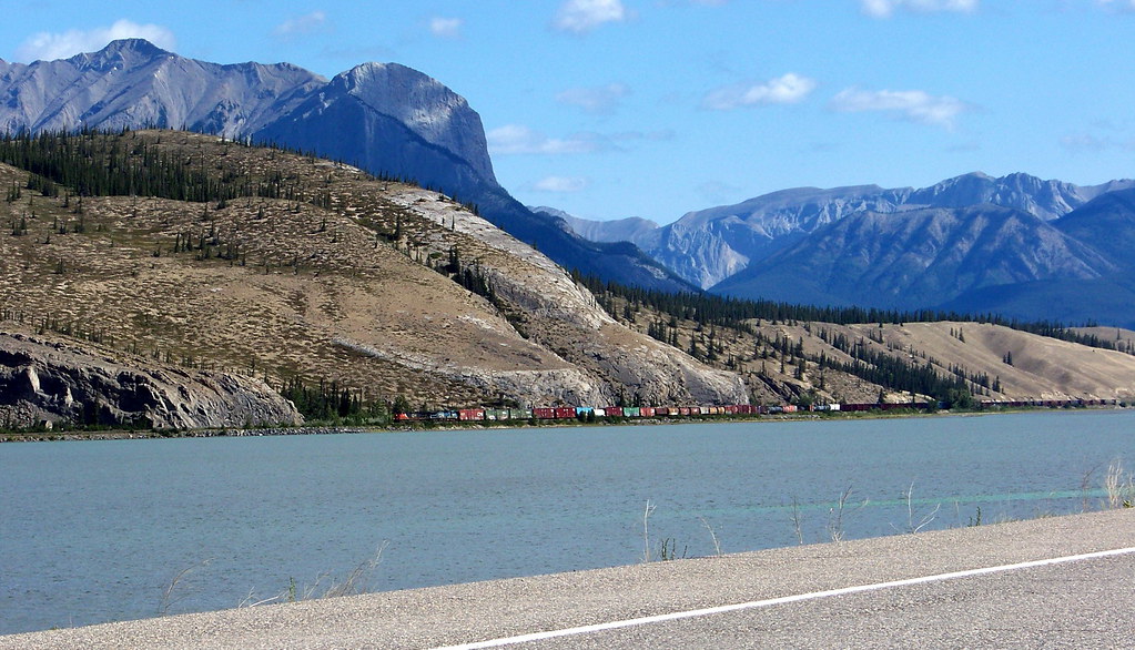
AB09f315 Railway View, Jasper Park, Alberta 2009
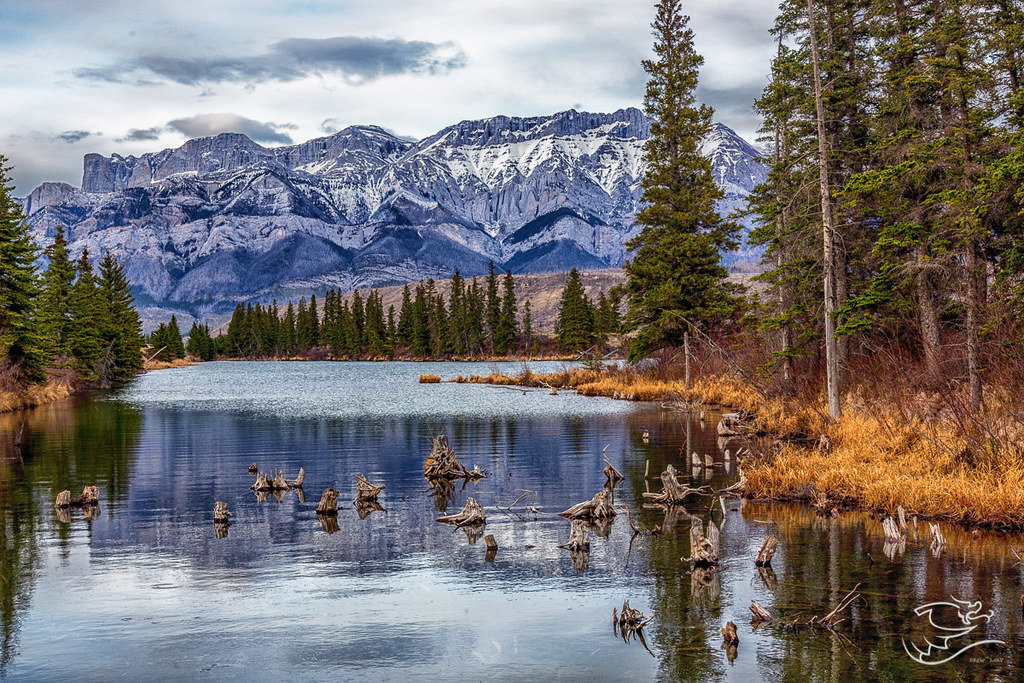
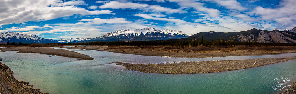
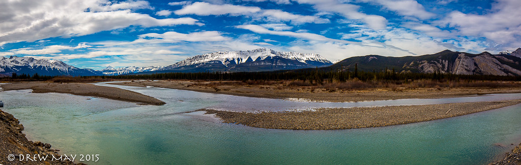
Talbot Lake
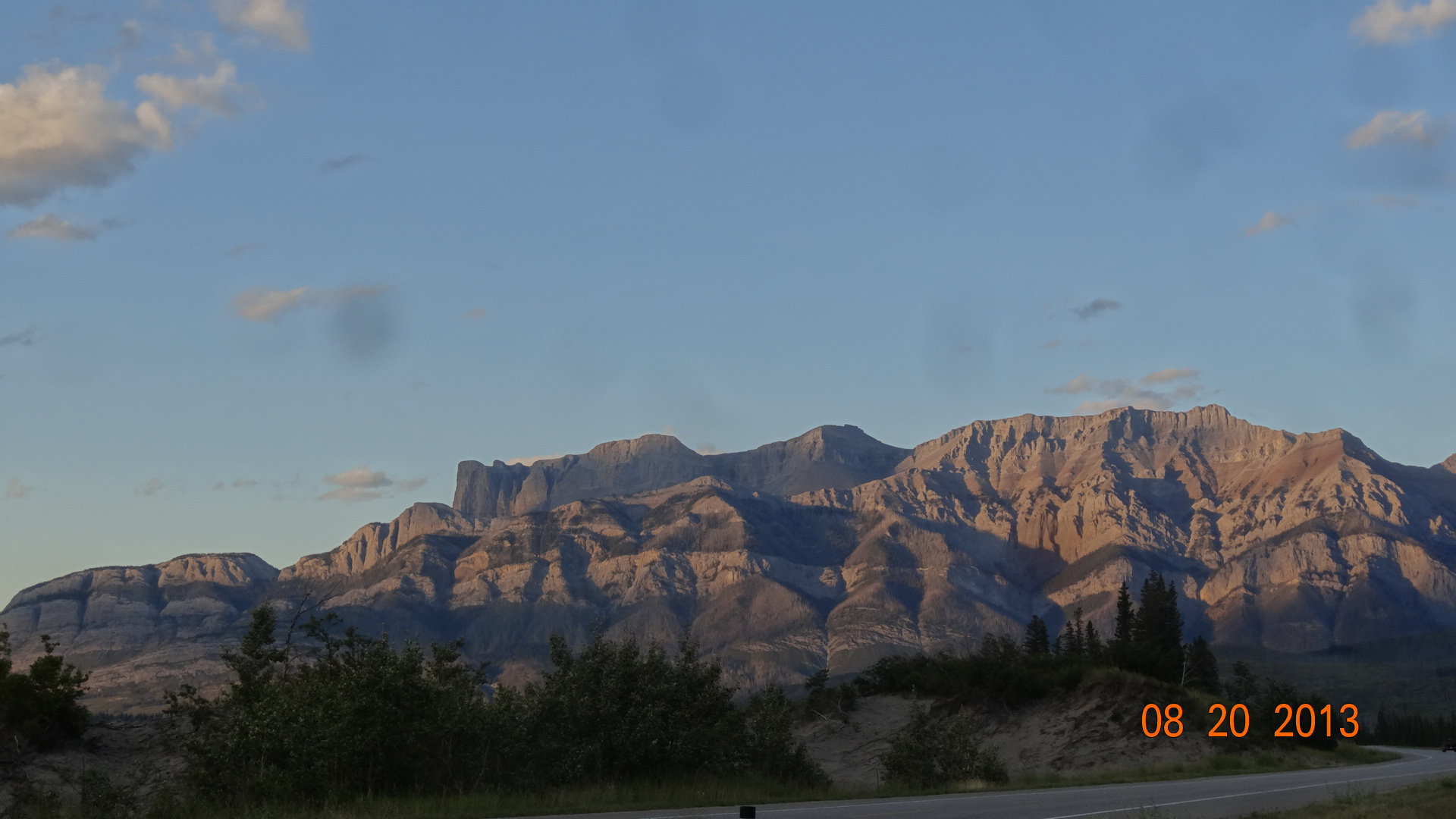
Sun setting in Wild Rose Country! Alberta!
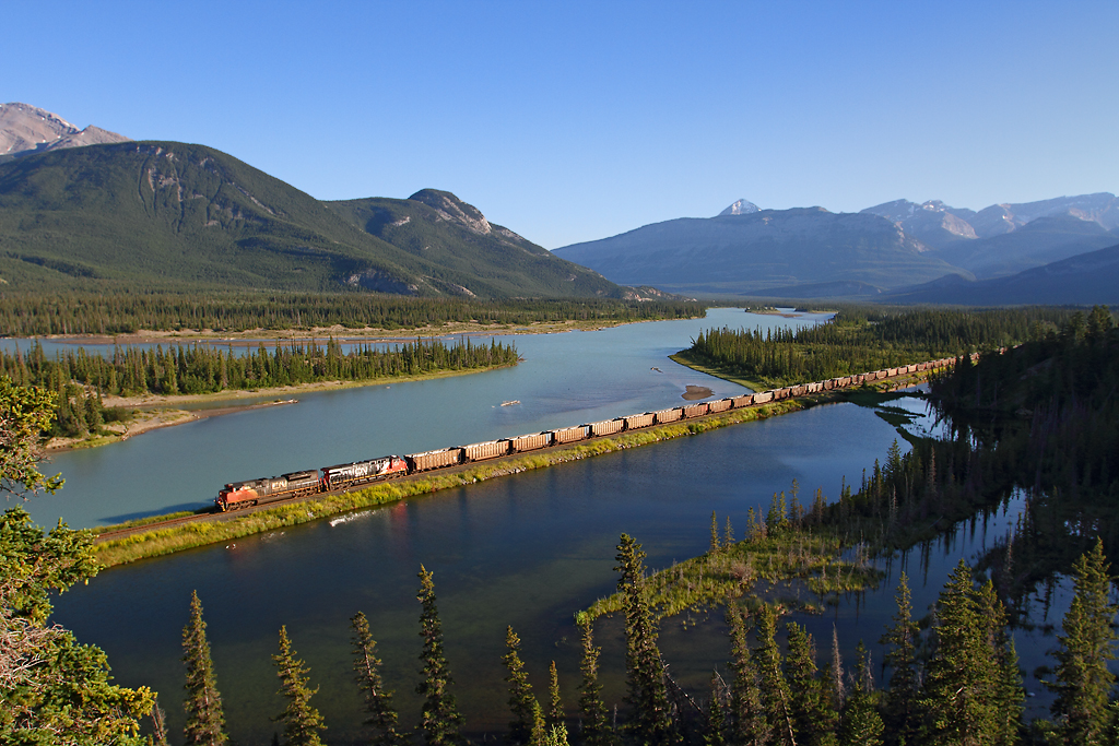
Evening coal train
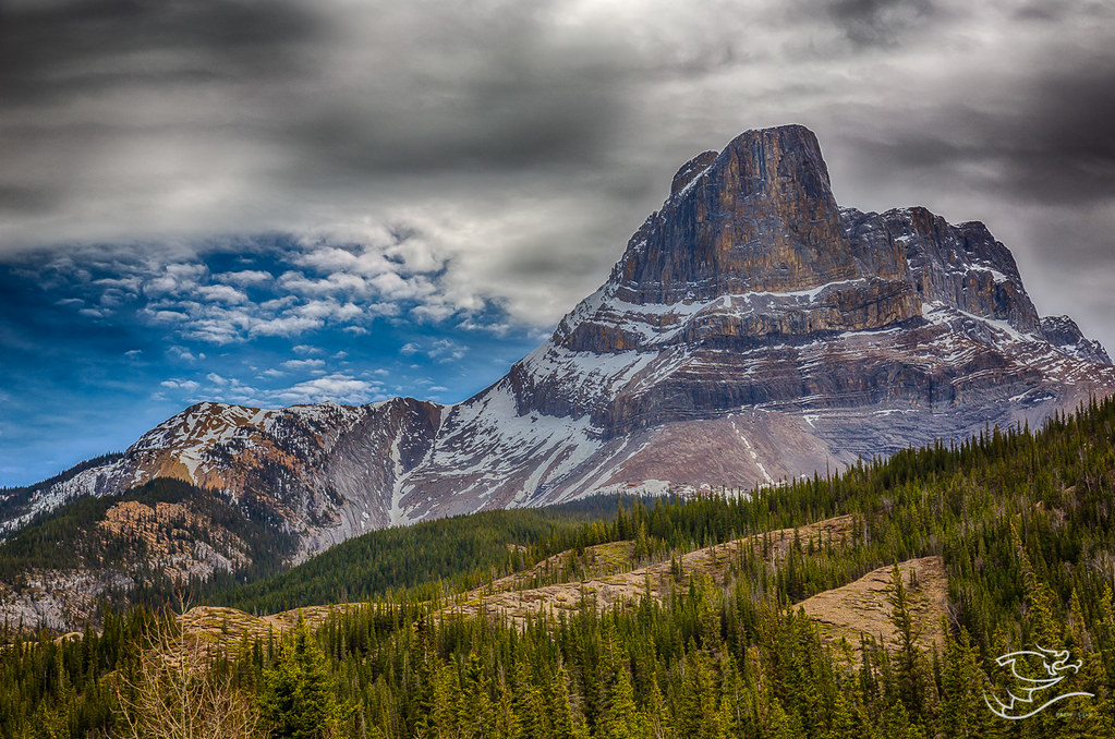
Roche Miette from another angle
A National Park Greeting
A National Park Greeting
Topographic Map of Mount Cumnock, Improvement District No. 12, AB T0E, Canada
Find elevation by address:

Places near Mount Cumnock, Improvement District No. 12, AB T0E, Canada:
Whitecap Mountain
Chetamon Mountain
Mount Tory
Pyramid Mountain
Mount Sassenach
Mount Mckean
Jasper
Mount Strange
Mount Knight
Mount Stornoway
The Rajah
Roche Noire
Derr Peak
The Ranee
Majestic Mountain
Mount Fitzwilliam
Mount Simla
Oldhorn Mountain
Mount Geikie
Throne Mountain
Recent Searches:
- Elevation of Corso Fratelli Cairoli, 35, Macerata MC, Italy
- Elevation of Tallevast Rd, Sarasota, FL, USA
- Elevation of 4th St E, Sonoma, CA, USA
- Elevation of Black Hollow Rd, Pennsdale, PA, USA
- Elevation of Oakland Ave, Williamsport, PA, USA
- Elevation of Pedrógão Grande, Portugal
- Elevation of Klee Dr, Martinsburg, WV, USA
- Elevation of Via Roma, Pieranica CR, Italy
- Elevation of Tavkvetili Mountain, Georgia
- Elevation of Hartfords Bluff Cir, Mt Pleasant, SC, USA