Elevation of Mount Clarke, Fraser Valley C, BC V0M, Canada
Location: Canada > British Columbia > Fraser Valley > Harrison Mills >
Longitude: -122.10277
Latitude: 49.5330555
Elevation: 1128m / 3701feet
Barometric Pressure: 88KPa
Elevation Map:
Satellite Map:
Related Photos:
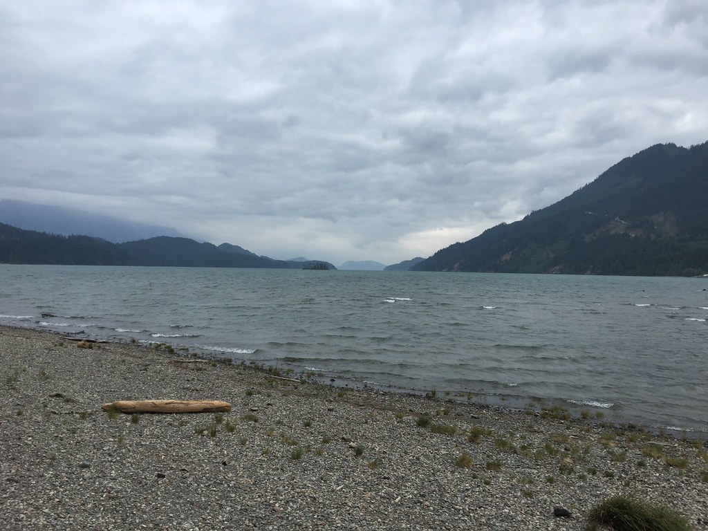
View South on Harrison Lake
Topographic Map of Mount Clarke, Fraser Valley C, BC V0M, Canada
Find elevation by address:

Places near Mount Clarke, Fraser Valley C, BC V0M, Canada:
Fraser Valley C
Robertson Peak
Mount Judge Howay
Sasquatch Mountain Resort
Snowflake Crescent
Snowflake Pl, Agassiz, BC V0M 1A1, Canada
Breakenridge Sw2
Harrison Lake
Snowmist Drive
Mount Breakenridge
Hemlock Valley Road
Beyer Road
14750 Sylvester Rd
14363 Carratt Rd
14040 Kontney Rd
Arbor Road
14600 Morris Valley Rd
14500 Morris Valley Rd
Harrison Bay Road
Harrison Bay Road
Recent Searches:
- Elevation of Corso Fratelli Cairoli, 35, Macerata MC, Italy
- Elevation of Tallevast Rd, Sarasota, FL, USA
- Elevation of 4th St E, Sonoma, CA, USA
- Elevation of Black Hollow Rd, Pennsdale, PA, USA
- Elevation of Oakland Ave, Williamsport, PA, USA
- Elevation of Pedrógão Grande, Portugal
- Elevation of Klee Dr, Martinsburg, WV, USA
- Elevation of Via Roma, Pieranica CR, Italy
- Elevation of Tavkvetili Mountain, Georgia
- Elevation of Hartfords Bluff Cir, Mt Pleasant, SC, USA