Elevation of Mount Cayley volcanic field, Squamish-Lillooet D, BC V0N, Canada
Location: Canada > British Columbia > Squamish-lillooet > Squamish-lillooet C > Whistler >
Longitude: -123.29055
Latitude: 50.120278
Elevation: 2372m / 7782feet
Barometric Pressure: 76KPa
Elevation Map:
Satellite Map:
Related Photos:

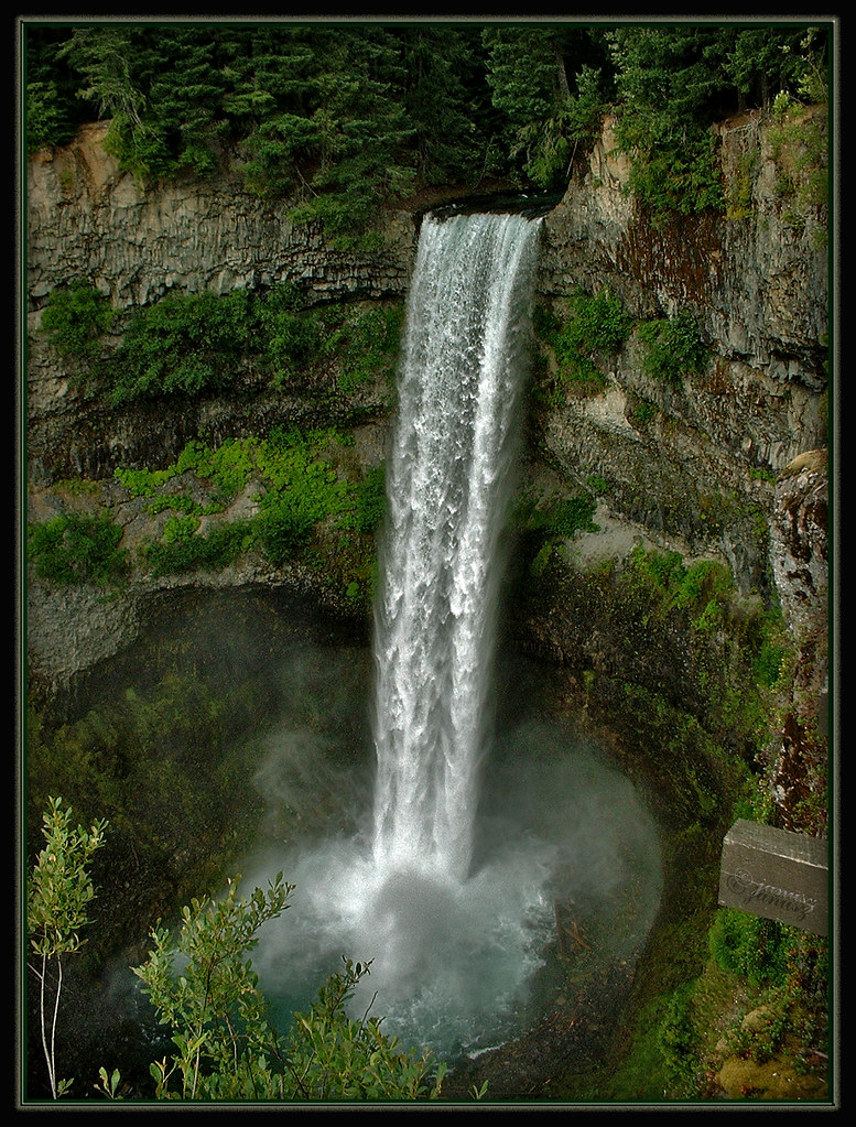
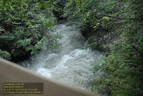
Brandywine Falls
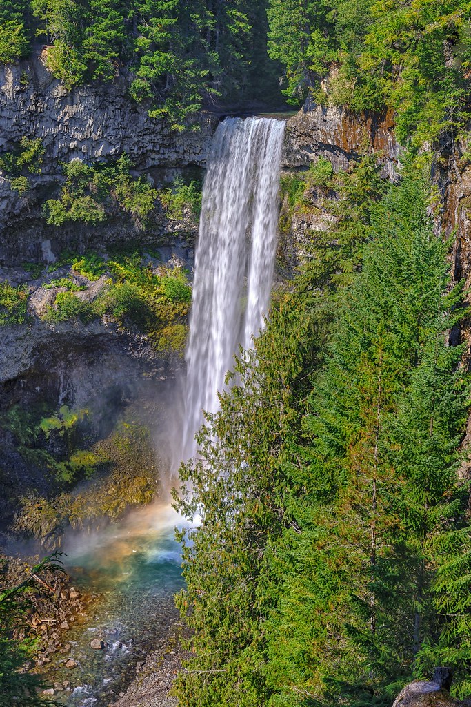
Brandywine Falls
Brandywine Falls
Brandywine Falls
I can't get tired of these scenic views here in #britishcolumbia #seatoskyhighway
Brandywine Falls Park
Brandywine Summit Reflections

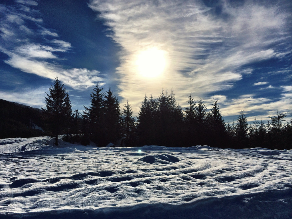
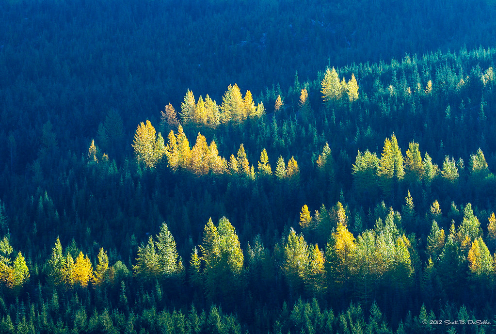
Barely recognizable as trees
Whistler Olympic Park VF2_5881.JPG
Whistler Olympic Park VF2_5880.JPG
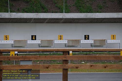
Whistler Olympic Park VF2_5884.JPG
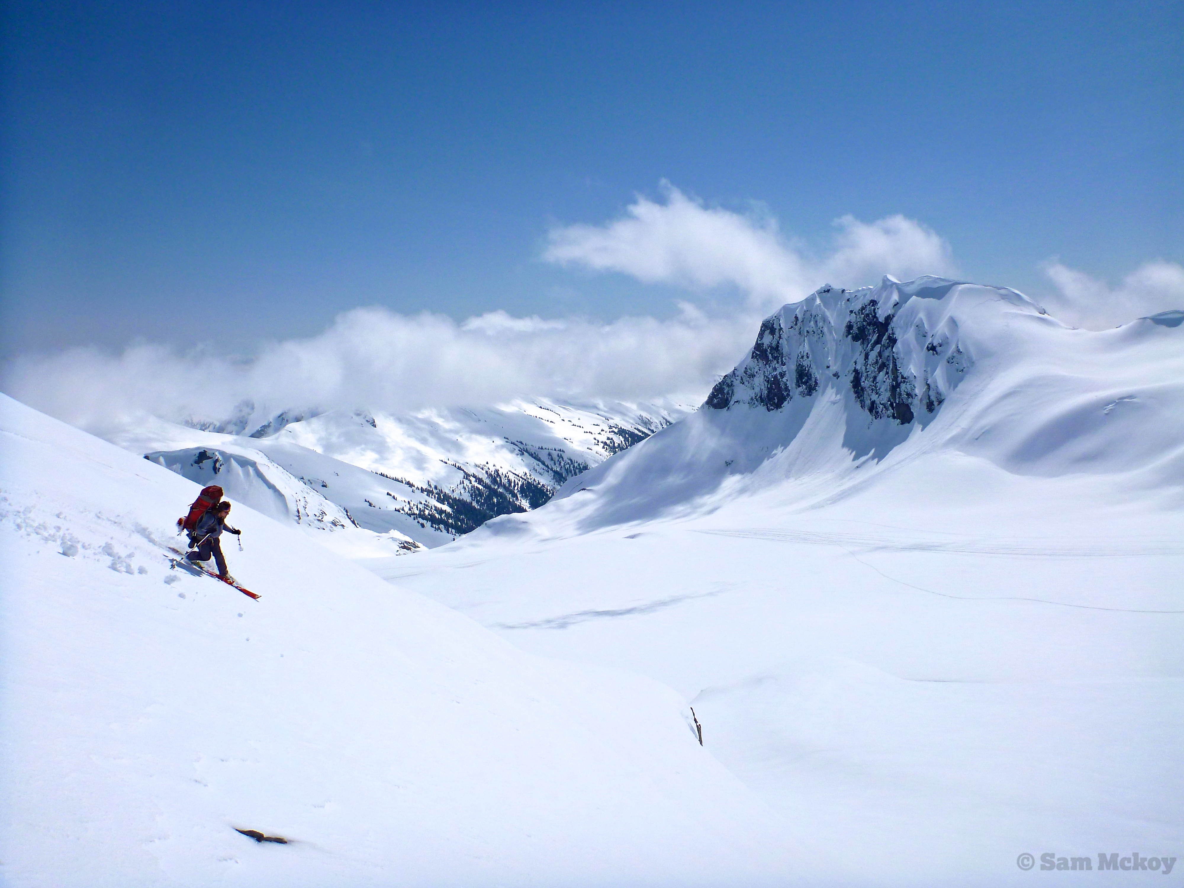
Motoring Down
Whistler Olympic Park VF2_5897.JPG
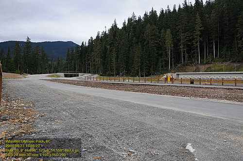
Whistler Olympic Park VF2_5890.JPG
The view from Around the World

Brandywine Falls Provincial Park
Brandywine Falls VFK_9311.JPG
Brandywine Falls VFK_9305.JPG

P070728139.jpg

Daytime Moon
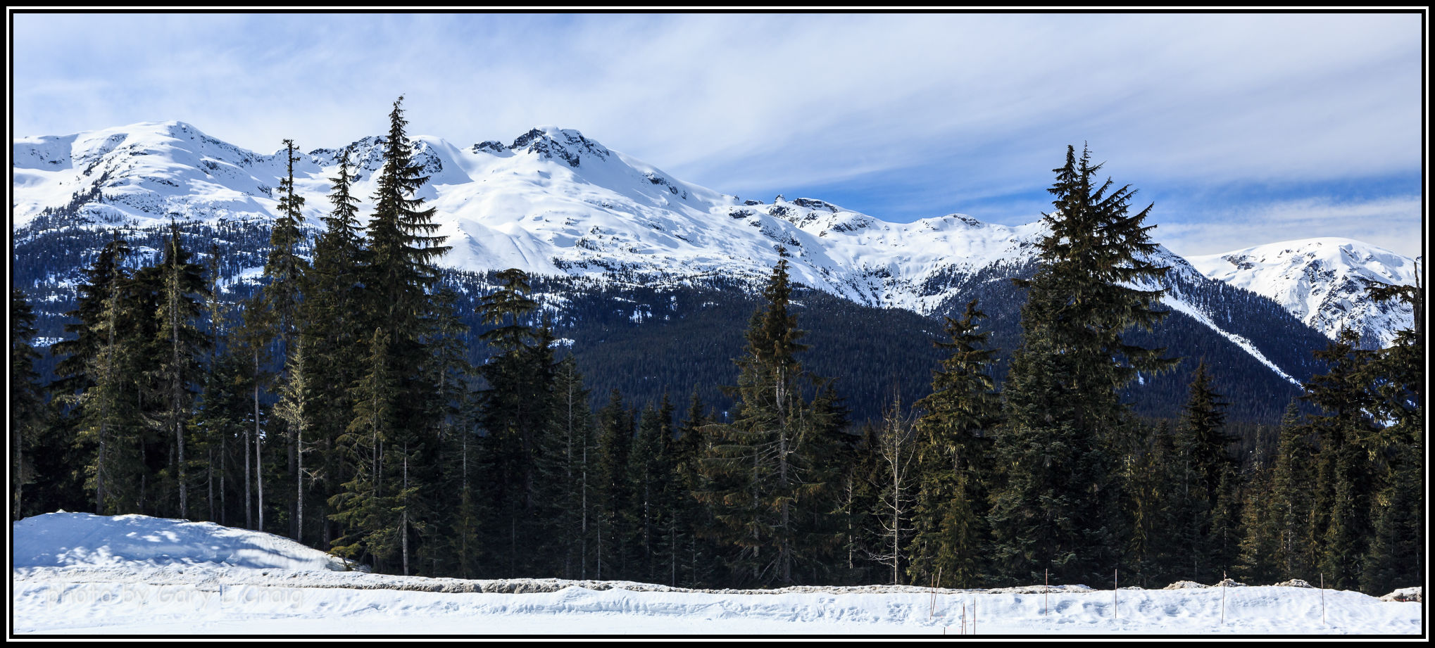
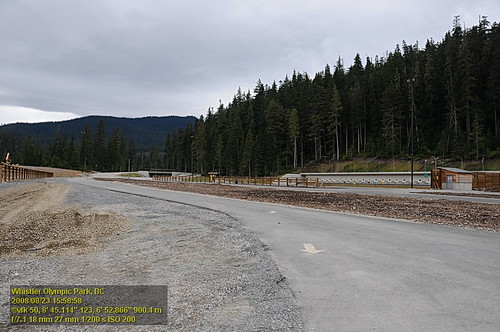
View from Whistler Olympic Park

l'eau coule
Aspen and Fir
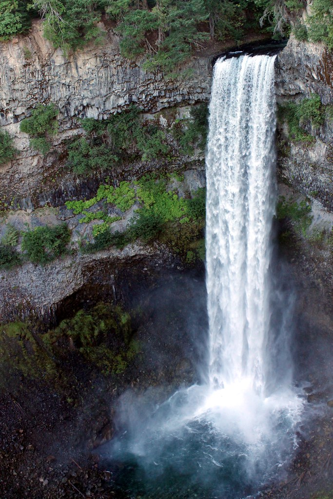
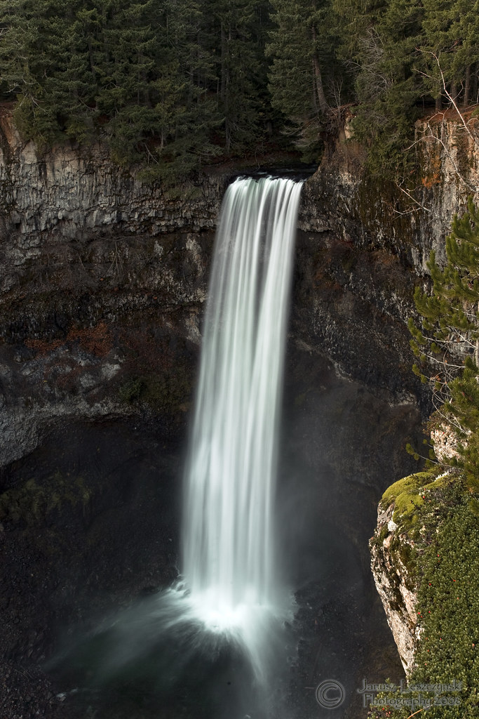
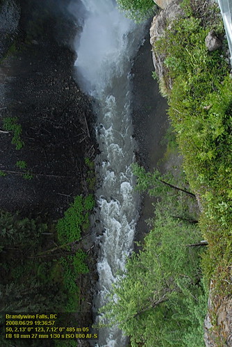
Brandywine Falls
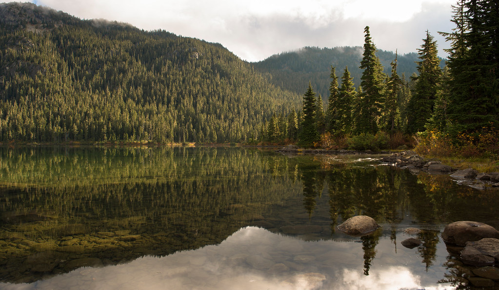
Morning at Callaghan Lake

A Deep Fall

Alexander Falls, British Columbia

Tall Falls

20050717-027

Porters Glide and fog and sun. Bliss !!!

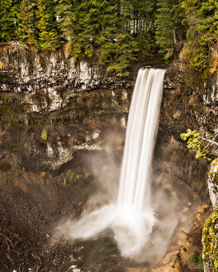
Brandywine Falls

Brandywine Falls

What we find

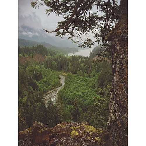
Madeley Creek

Brandywine Meadows

20061007-001

20050717-021
Topographic Map of Mount Cayley volcanic field, Squamish-Lillooet D, BC V0N, Canada
Find elevation by address:

Places near Mount Cayley volcanic field, Squamish-Lillooet D, BC V0N, Canada:
Mount Cayley
Mount Callaghan
Callaghan N3
Callaghan N5
Squamish-lillooet D
31 Garibaldi Dr
Garibaldi
Daisy Lake Road
Magee Road
1021 Cloudburst Crescent
Cloudburst Crescent
Ashlu Mountain
1569 Tynebridge Ln
1530 Tynebridge Ln
Alta Lake Rd, Whistler, BC V0N 0A0, Canada
The Black Tusk
Karen Crescent, Whistler, BC V0N 1B2, Canada
2202 Gondola Way
2200 Eva Lake Rd
Mount Tantalus
Recent Searches:
- Elevation of Congressional Dr, Stevensville, MD, USA
- Elevation of Bellview Rd, McLean, VA, USA
- Elevation of Stage Island Rd, Chatham, MA, USA
- Elevation of Shibuya Scramble Crossing, 21 Udagawacho, Shibuya City, Tokyo -, Japan
- Elevation of Jadagoniai, Kaunas District Municipality, Lithuania
- Elevation of Pagonija rock, Kranto 7-oji g. 8"N, Kaunas, Lithuania
- Elevation of Co Rd 87, Jamestown, CO, USA
- Elevation of Tenjo, Cundinamarca, Colombia
- Elevation of Côte-des-Neiges, Montreal, QC H4A 3J6, Canada
- Elevation of Bobcat Dr, Helena, MT, USA