Elevation map of Mount Bigger, Stikine Region, BC V0W, Canada
Location: Canada > British Columbia > Atlin >
Longitude: -136.65694
Latitude: 59.4225
Elevation: 2514m / 8248feet
Barometric Pressure: 75KPa
Elevation Map:
Satellite Map:
Related Photos:
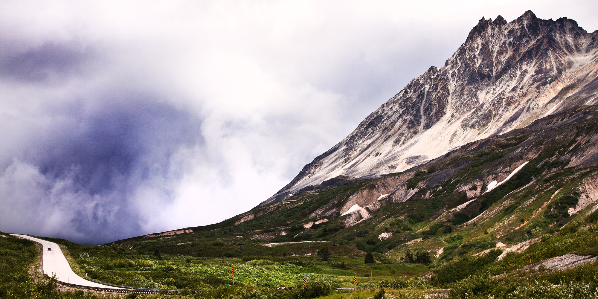
Chilkat Pass 1070m on the Alaska/ Canada Border
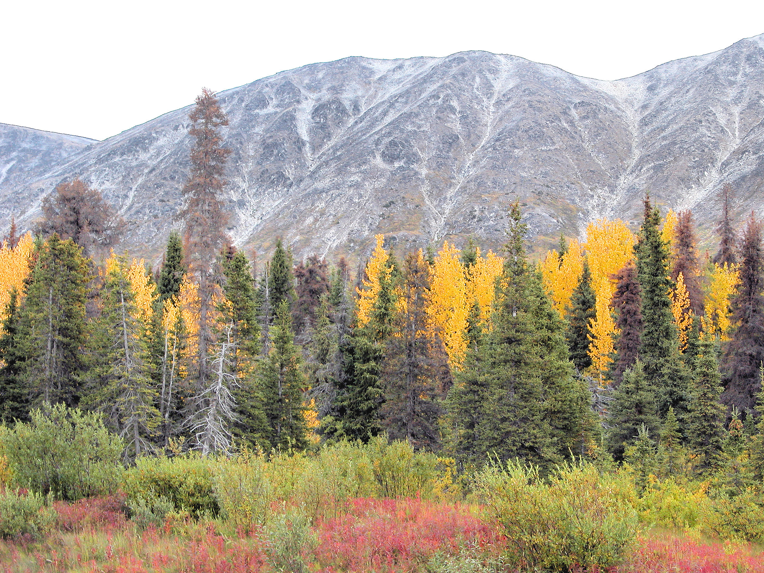
Fall Colors On The Haines Highway 10

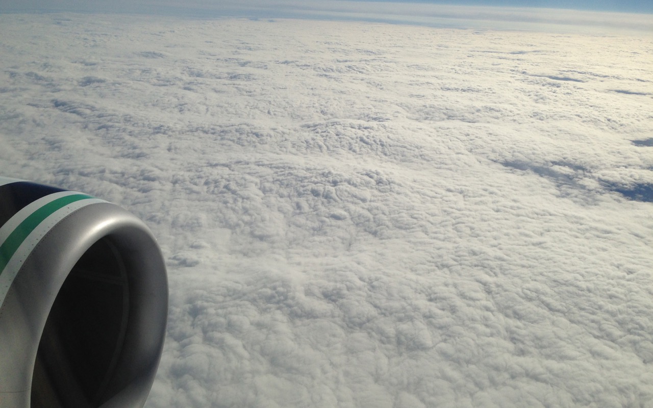
Glimpse of winter
2015-06-13-iPh-2784a.jpg
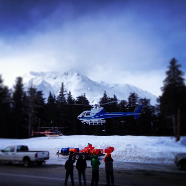
Black ops base camp with @travisrobbfilms @danaflahr Rob and yvon.
Topographic Map of Mount Bigger, Stikine Region, BC V0W, Canada
Find elevation by address:

Places near Mount Bigger, Stikine Region, BC V0W, Canada:
Buckwell Peak
Buckwell N2
Mount Henry Clay
Tkope Peak
Samuel Peak
Kusawak Peak
Mount Parton
Mount Barnard
Mount Kelsall
Basement Se3
Towagh Se3
Basement N2
Basement Peak
Towagh Peak
Basement Nw2
Tomahnous Peak
Towagh W2
Low Fog Peak
Haines Peak
Mount Beaton
Recent Searches:
- Elevation of Corso Fratelli Cairoli, 35, Macerata MC, Italy
- Elevation of Tallevast Rd, Sarasota, FL, USA
- Elevation of 4th St E, Sonoma, CA, USA
- Elevation of Black Hollow Rd, Pennsdale, PA, USA
- Elevation of Oakland Ave, Williamsport, PA, USA
- Elevation of Pedrógão Grande, Portugal
- Elevation of Klee Dr, Martinsburg, WV, USA
- Elevation of Via Roma, Pieranica CR, Italy
- Elevation of Tavkvetili Mountain, Georgia
- Elevation of Hartfords Bluff Cir, Mt Pleasant, SC, USA