Elevation of Mount Aspiring National Park, South Island, New Zealand
Location: New Zealand >
Longitude: 168.833993
Latitude: -44.231965
Elevation: 1381m / 4531feet
Barometric Pressure: 86KPa
Elevation Map:
Satellite Map:
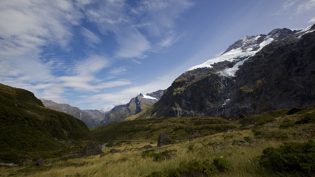
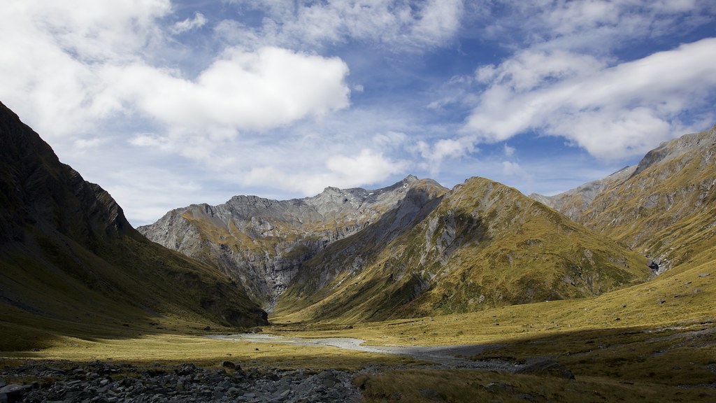
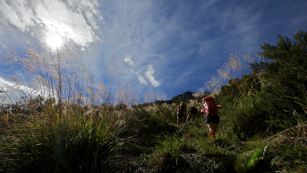
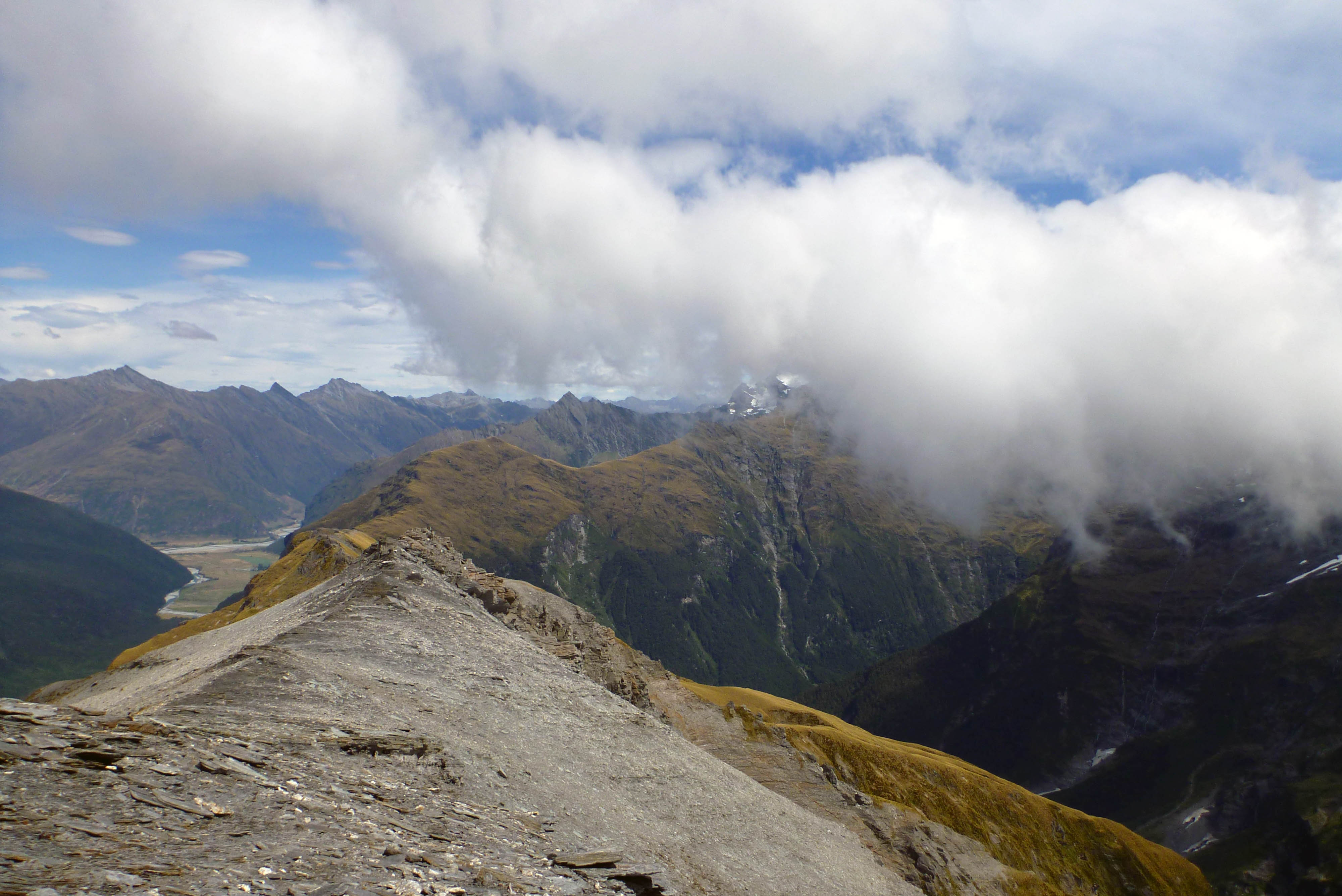
Related Photos:

Silhouette of Nicky & Ollie Descending Tussock Slope
View Back Toward Hut and Rabbit Pass Beyond
View back the way we came
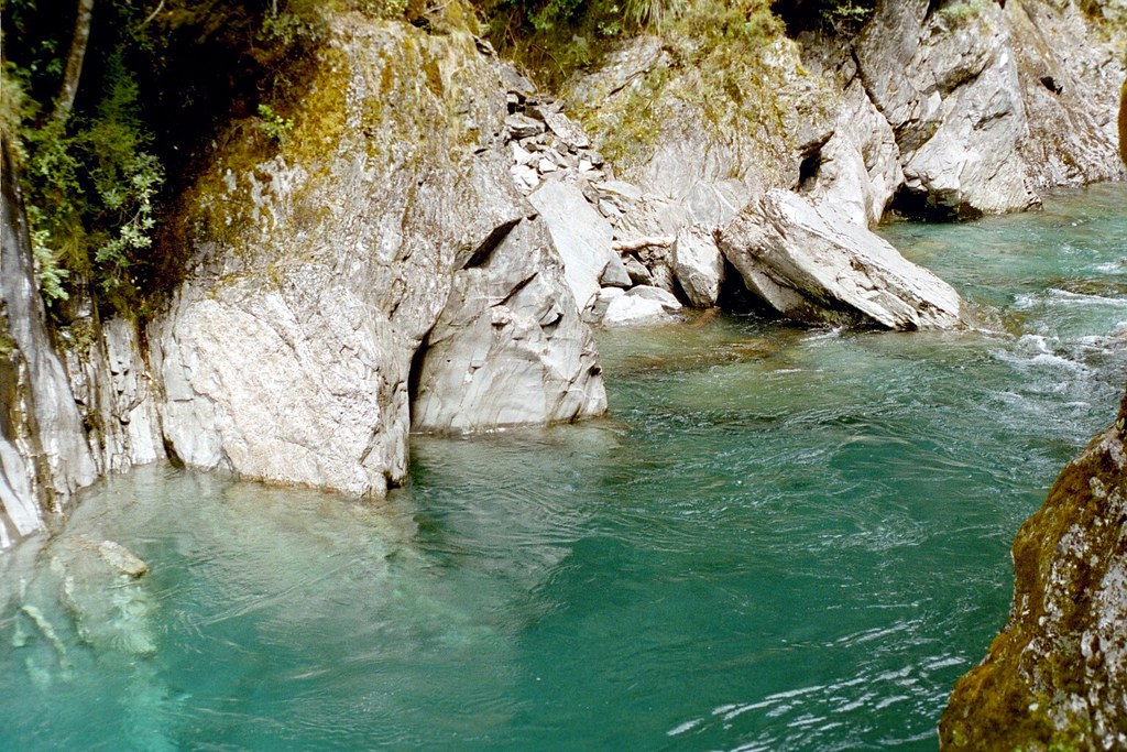
Snow Bridge Gorge
Looking south from Sysiphus Peak
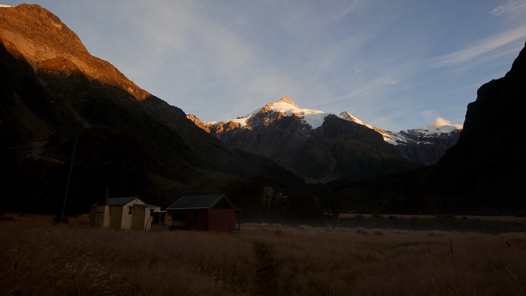
Dawn at Top Forks Hut
Battling Through the Tussocks. Still a Way Away
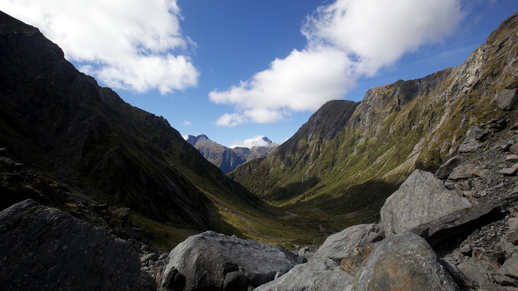
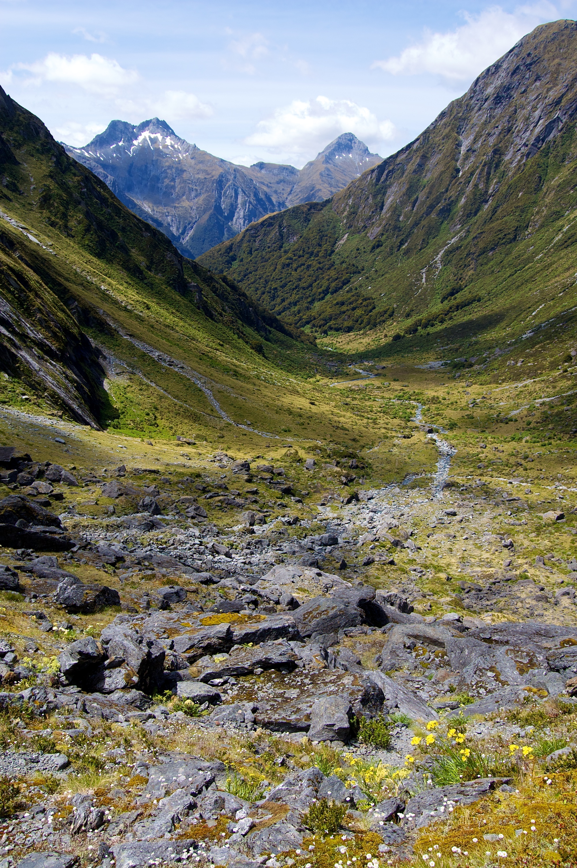
View back down the valley
View back down the valley
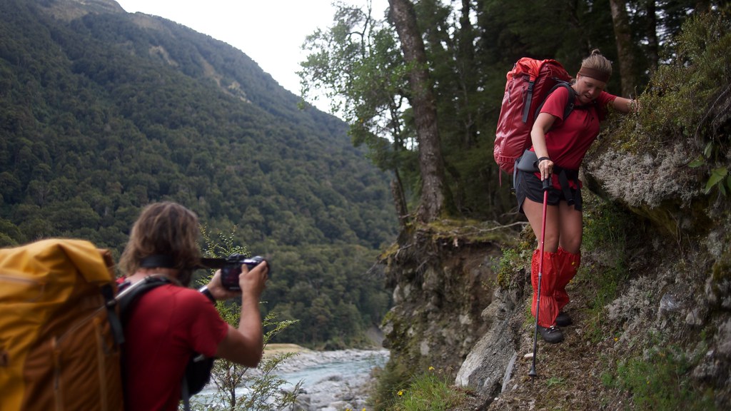
Capturing the Narrow Ledge Action!
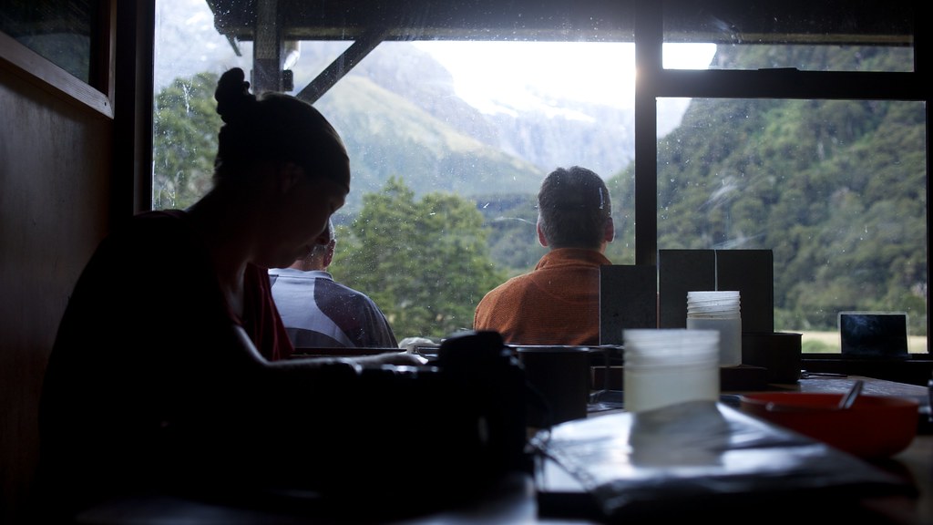
Nicky in Top Forks Hut
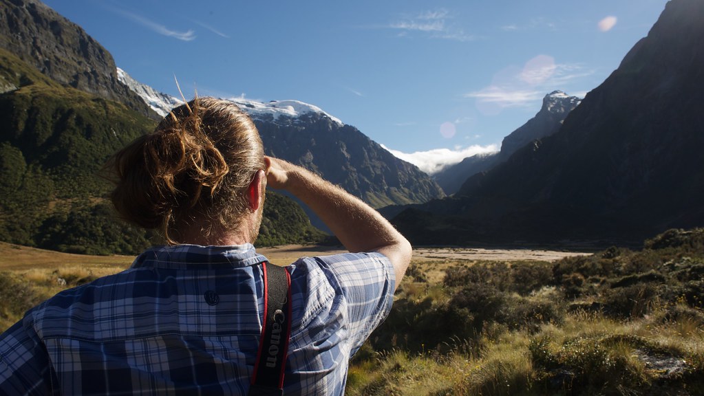
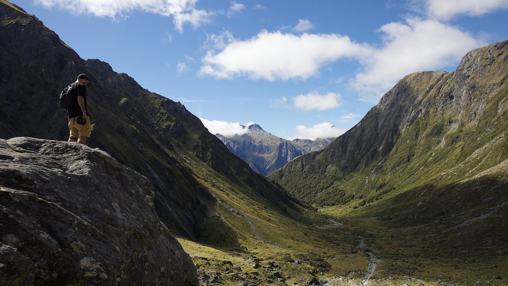
Ollie checkin' the view
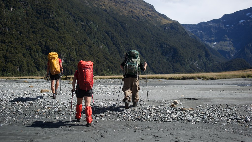
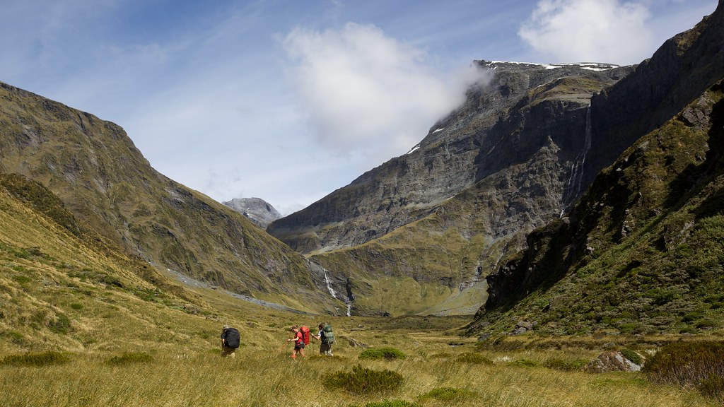
Heading up the Wilkin Valley
Lake Lucidus
The way up to Lake Crucible
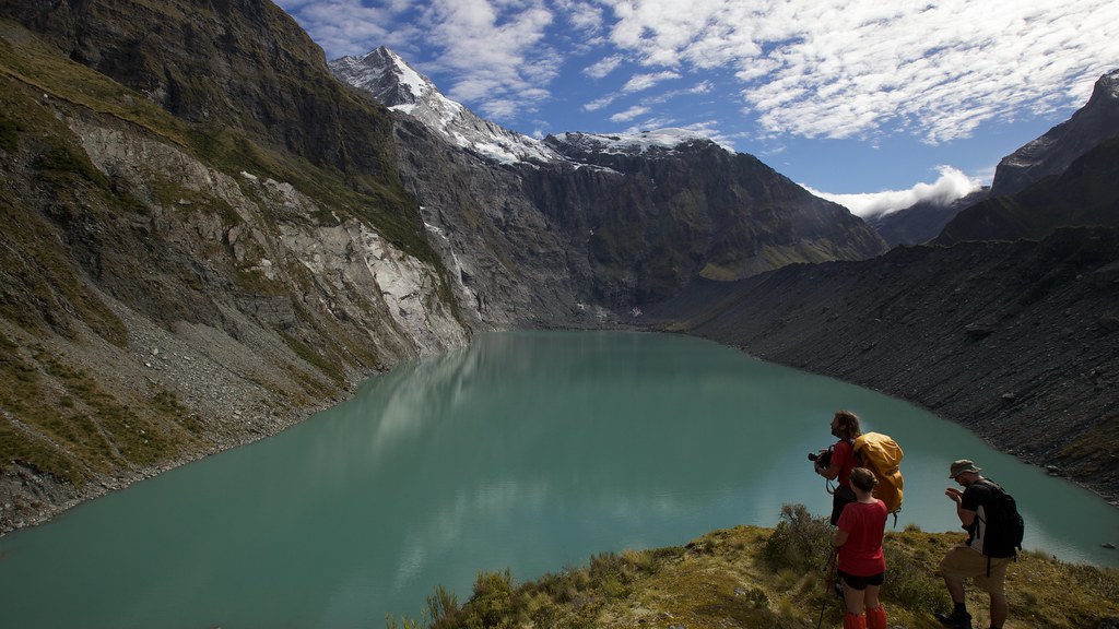
Looking down from Lake Crucible

Mt. Castor (2518m)
Waiatoto River
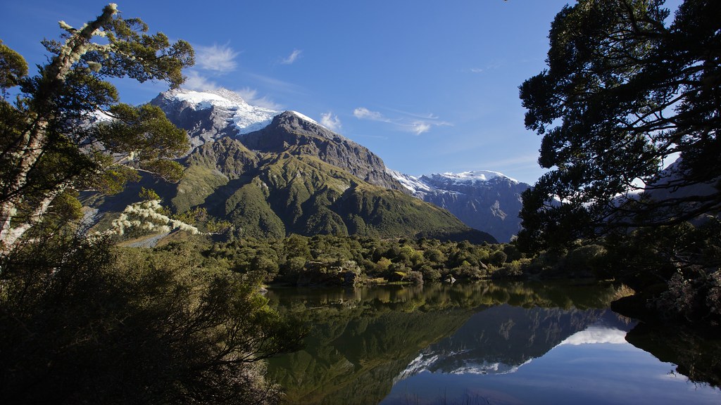
Refections on Lake Diana
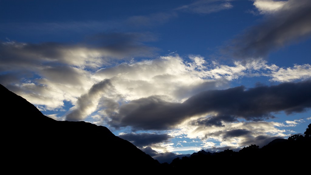
Interesting sky
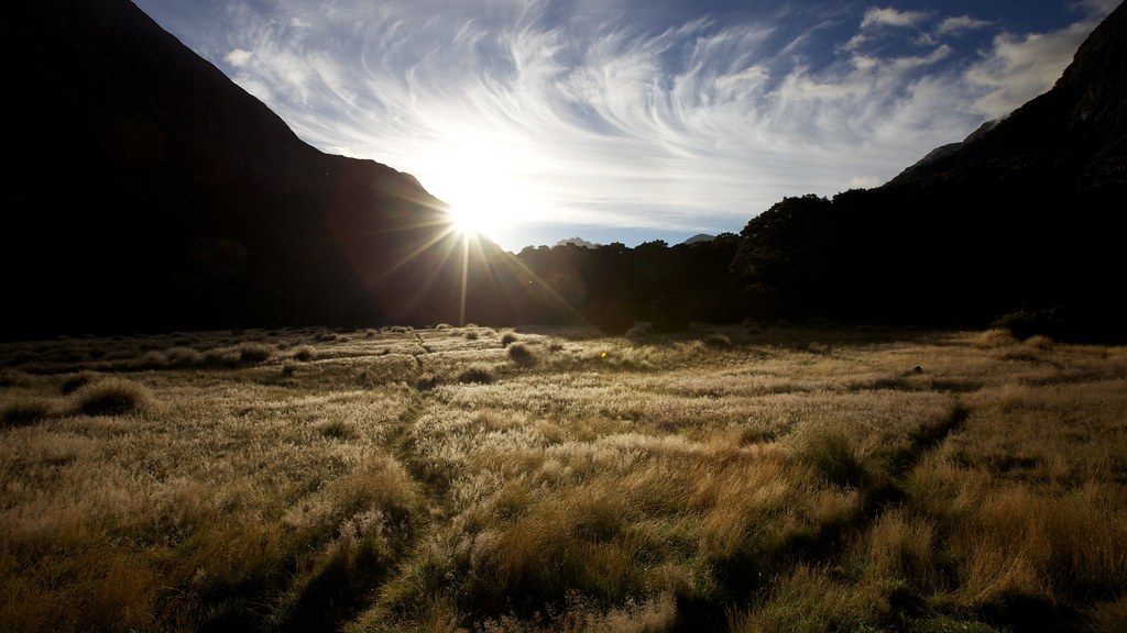
Dawn Dew
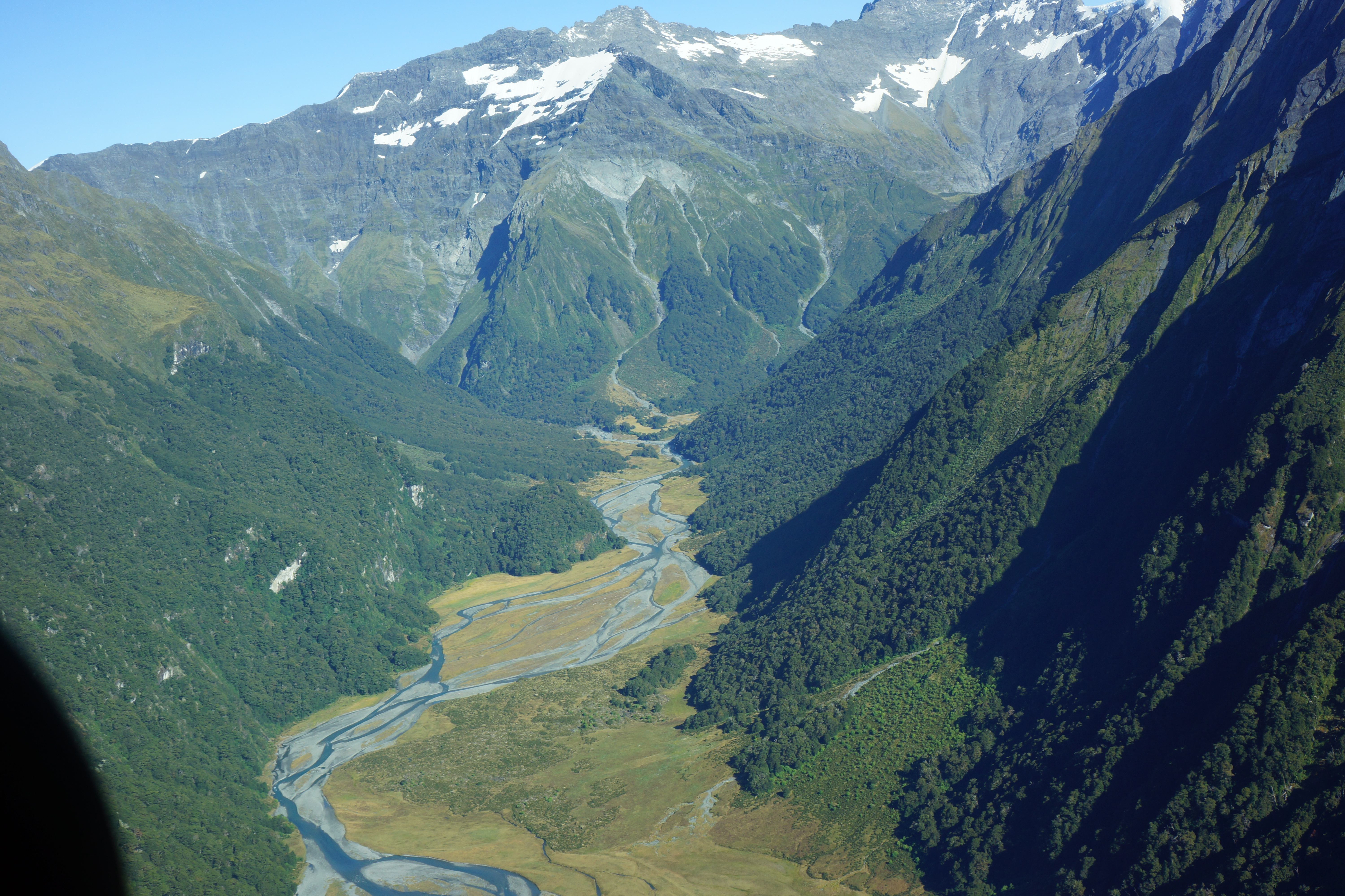
Wilkin Valley

Abel Tasman

Abel Tasman

Rotorua, NZ
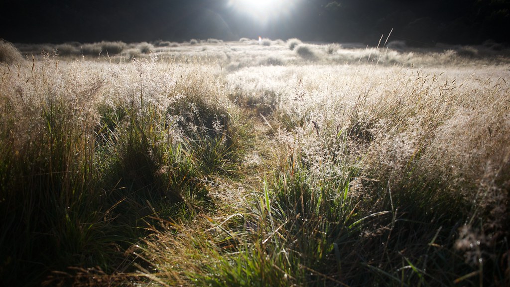
Dawn Dew
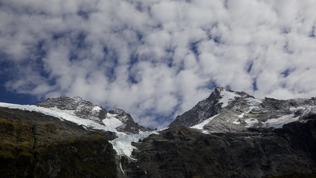
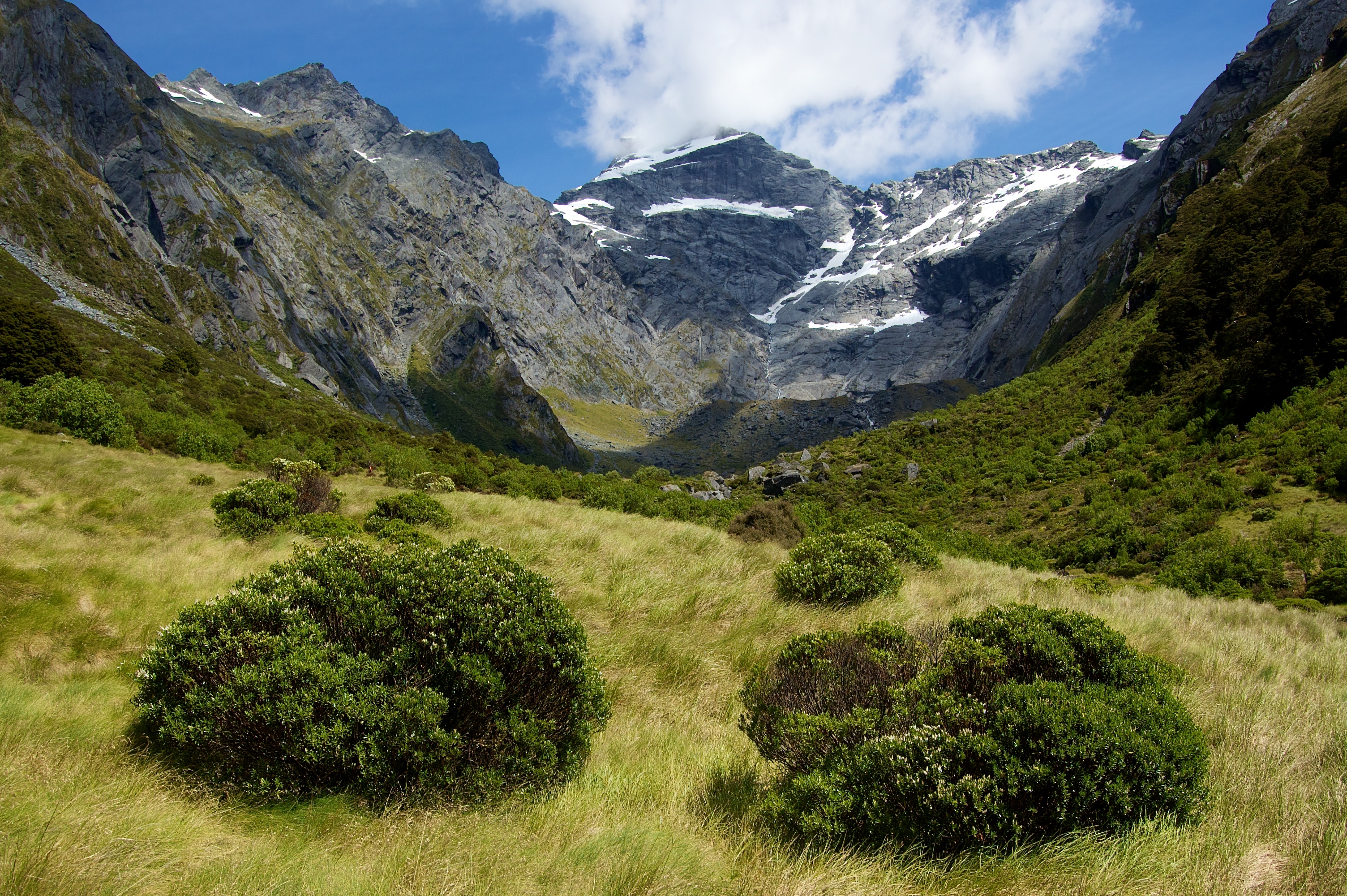
Beneath the Massive Bulks of Mt Pollux & Mt Caster
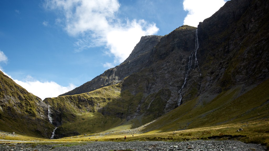
The Two Waterfalls
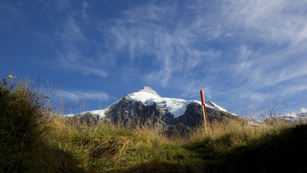
Mt Pollux Looming Over the Route to the Lakes
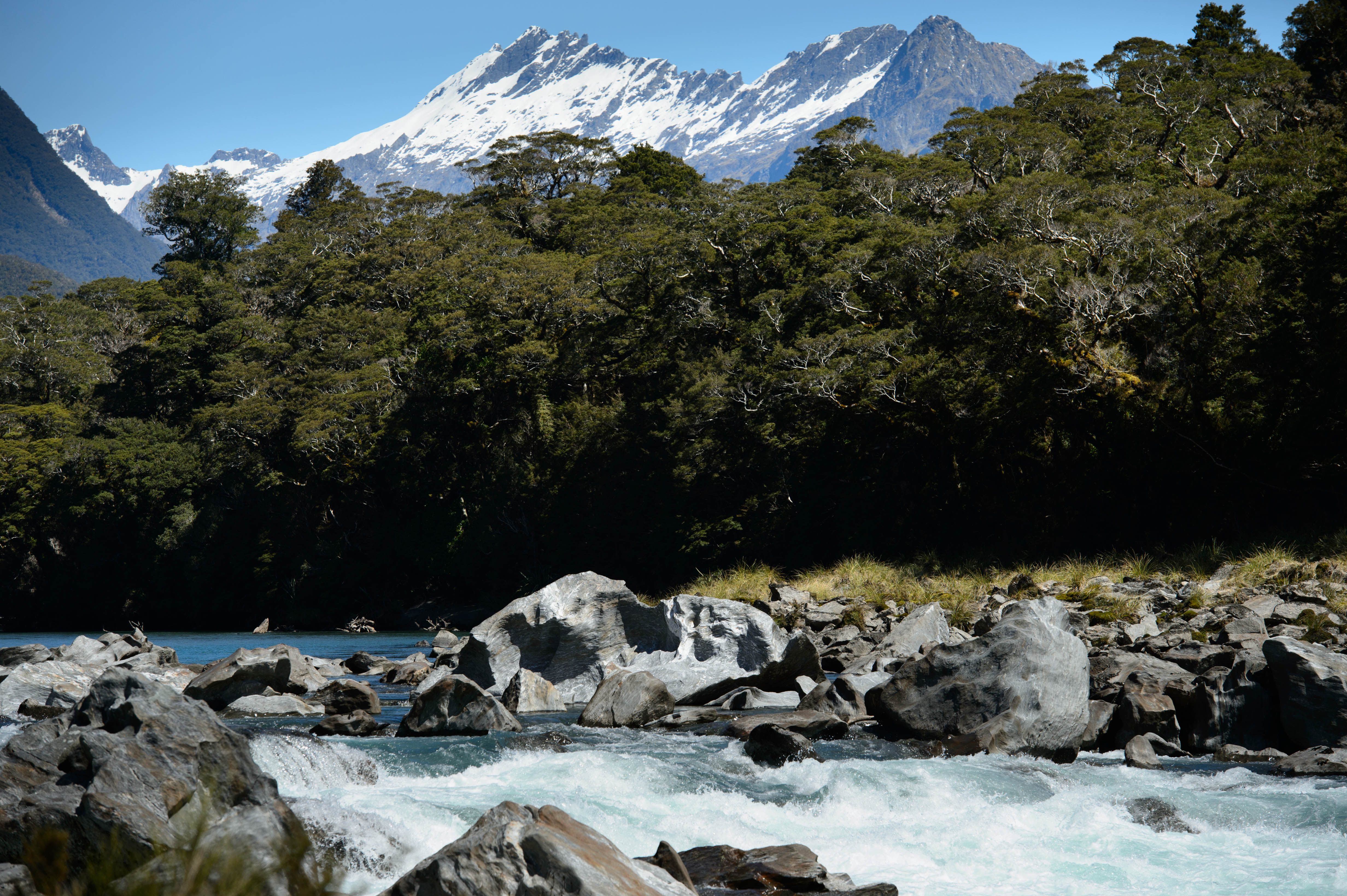
Waitoto rapids
Topographic Map of Mount Aspiring National Park, South Island, New Zealand
Find elevation by address:

Places near Mount Aspiring National Park, South Island, New Zealand:
Pollux
Fastness Peak
Mount Alba
Mount Alta
Black Peak
21 Kiwi Street
Wanaka
Mount Nerger
Makarora
Cattle Flat
Mount Victor
Treble Cone Ski Area
Treble Cone
Haast
The Neck
Lake Wanaka
Blue Pools Walk
Mount Burke
Glendhu Bay
Roys Peak
Recent Searches:
- Elevation of Fern Rd, Whitmore, CA, USA
- Elevation of 62 Abbey St, Marshfield, MA, USA
- Elevation of Fernwood, Bradenton, FL, USA
- Elevation of Felindre, Swansea SA5 7LU, UK
- Elevation of Leyte Industrial Development Estate, Isabel, Leyte, Philippines
- Elevation of W Granada St, Tampa, FL, USA
- Elevation of Pykes Down, Ivybridge PL21 0BY, UK
- Elevation of Jalan Senandin, Lutong, Miri, Sarawak, Malaysia
- Elevation of Bilohirs'k
- Elevation of 30 Oak Lawn Dr, Barkhamsted, CT, USA