Elevation of Mound Valley, KS, USA
Location: United States > Kansas > Labette County >
Longitude: -95.435853
Latitude: 37.2155162
Elevation: 256m / 840feet
Barometric Pressure: 98KPa
Elevation Map:
Satellite Map:
Related Photos:
SEK SKY
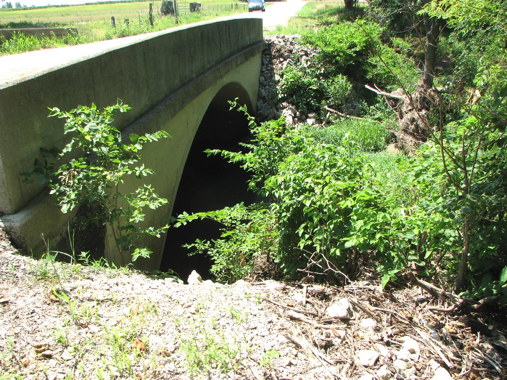
Arch View: Branch of Pumpkin Creek

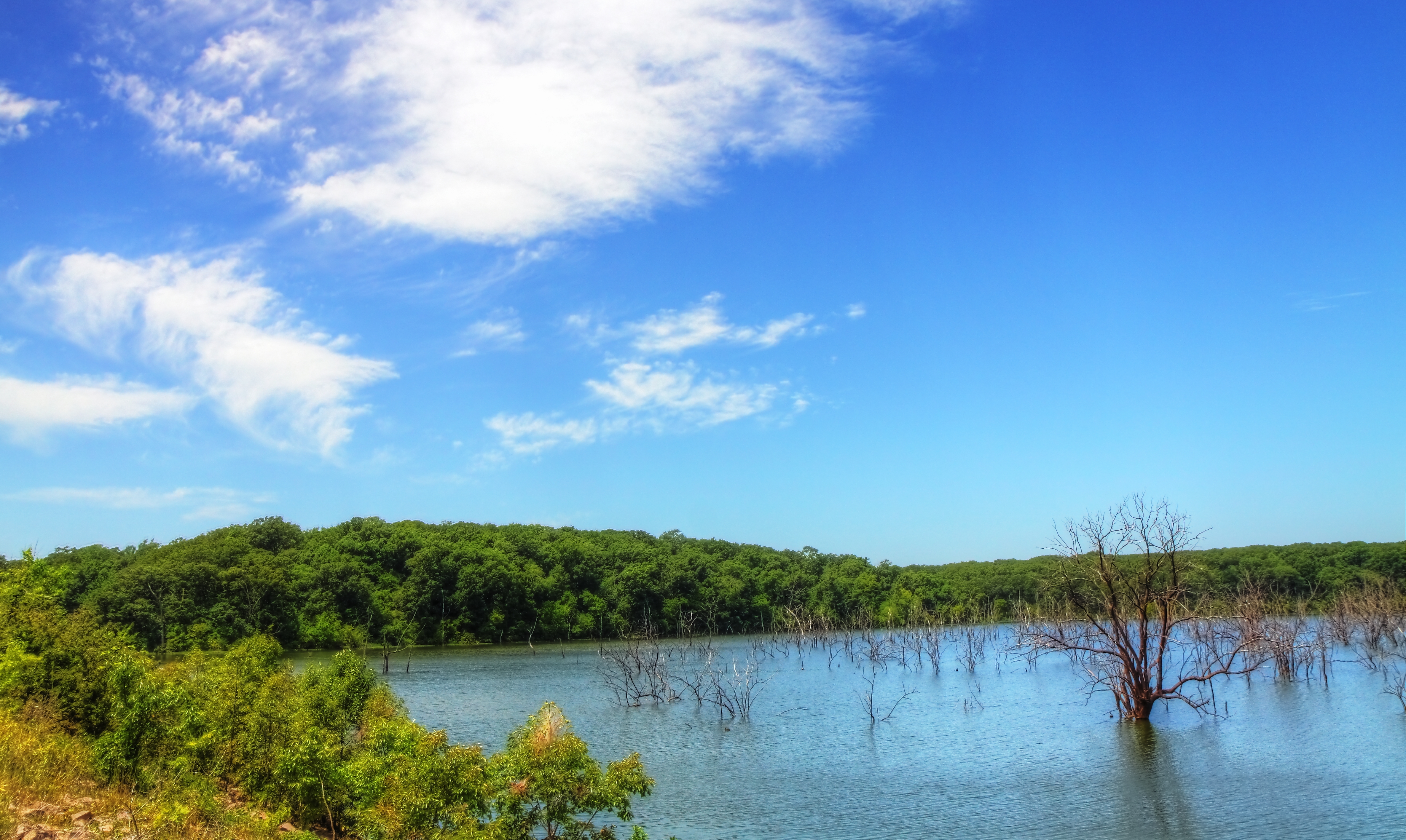
Dream Lake
Big Hill Lake

Sunkissed Wheat

Big Hill Lake

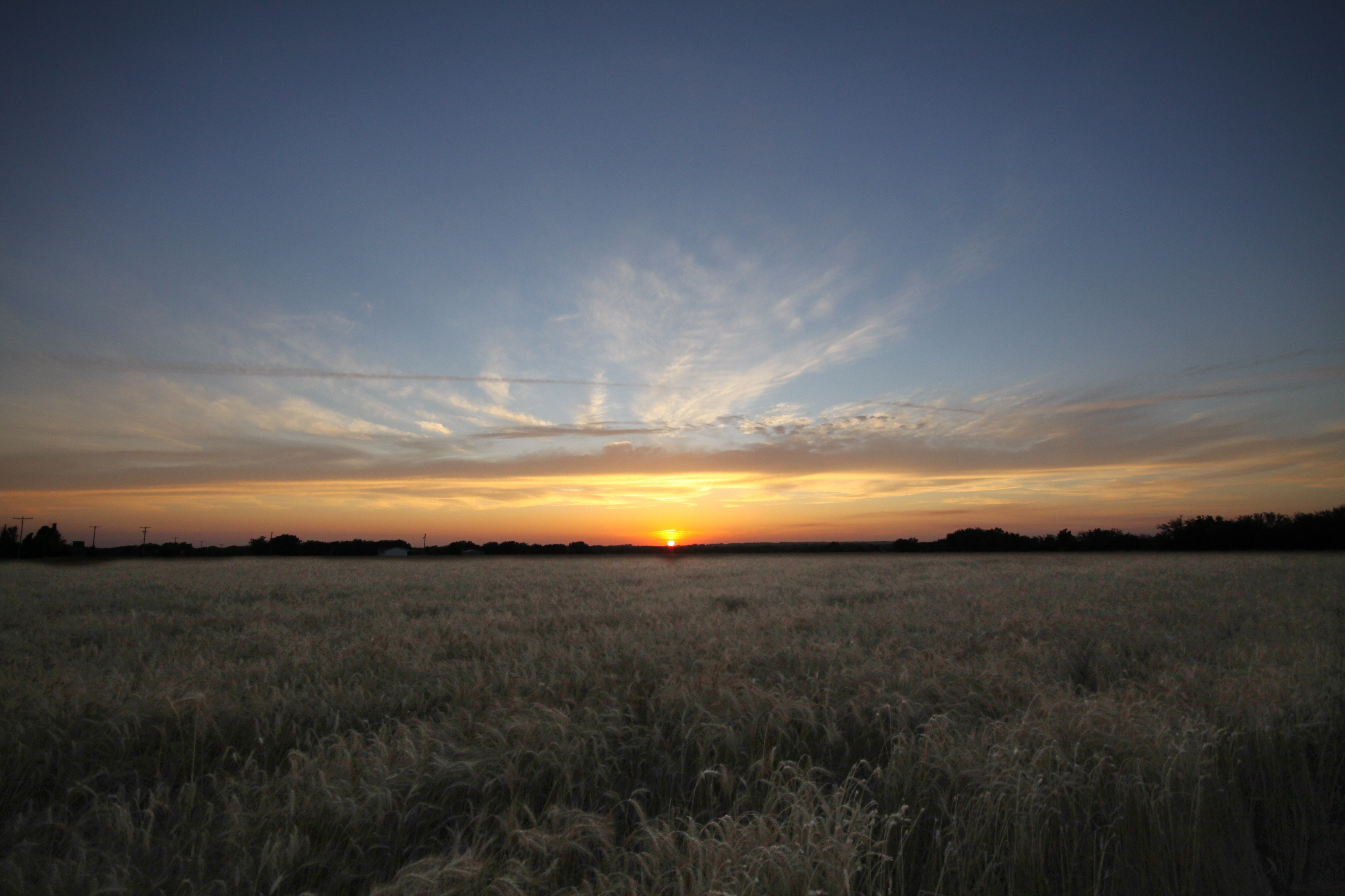
Amazing Sunset

Burned Over Nixon Trail
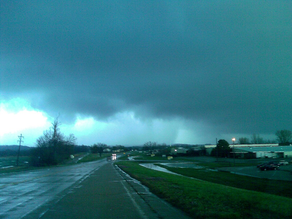
CELLPHONE PHOTO BLOG 3-31-08
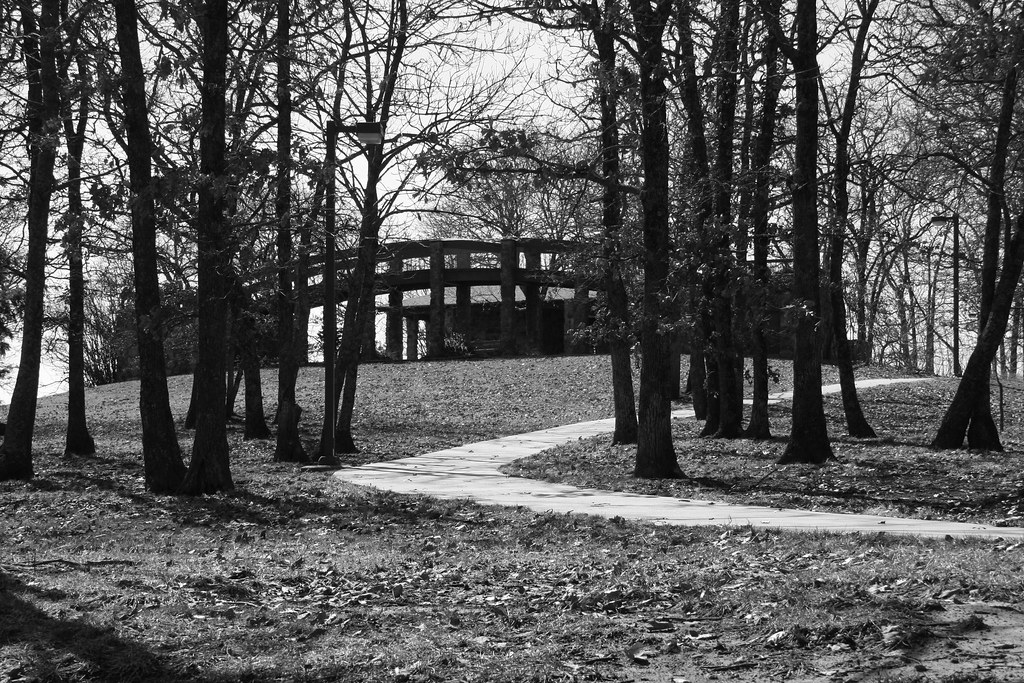
Big Hill Lake Overlook Bridge
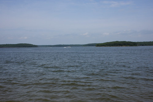
Big Hill Lake
Topographic Map of Mound Valley, KS, USA
Find elevation by address:

Places in Mound Valley, KS, USA:
Places near Mound Valley, KS, USA:
Mound Valley
Hickory St, Mound Valley, KS, USA
900 Meadow Rd
755 21000 Rd
755 21000 Rd
777 21000 Rd
Osage
Sunflower Farms Garden Center
Mount Pleasant
Selah 360 Day Spa
Sko Railroad
The Cherryvale Bed & Breakfast
N Neosho St, Cherryvale, KS, USA
Cherryvale
St Francis Xavier Catholic Church
Elizabeth M. Bohr Custom Sewing And Tailoring
Dennis
Gray Rd, Dennis, KS, USA
Labette County
Parsons Tri-city Airport-ppf
Recent Searches:
- Elevation of Tenjo, Cundinamarca, Colombia
- Elevation of Côte-des-Neiges, Montreal, QC H4A 3J6, Canada
- Elevation of Bobcat Dr, Helena, MT, USA
- Elevation of Zu den Ihlowbergen, Althüttendorf, Germany
- Elevation of Badaber, Peshawar, Khyber Pakhtunkhwa, Pakistan
- Elevation of SE Heron Loop, Lincoln City, OR, USA
- Elevation of Slanický ostrov, 01 Námestovo, Slovakia
- Elevation of Spaceport America, Co Rd A, Truth or Consequences, NM, USA
- Elevation of Warwick, RI, USA
- Elevation of Fern Rd, Whitmore, CA, USA