Elevation of Moulton St W, Decatur, AL, USA
Location: United States > Alabama > Morgan County > Decatur >
Longitude: -86.995581
Latitude: 34.604404
Elevation: 176m / 577feet
Barometric Pressure: 99KPa
Elevation Map:
Satellite Map:
Related Photos:

Flash lily - Best if viewed LARGE

u s mail

Mayfly of genus Hexagenia (subimago) 3
Baldcypress - Taxodium distichum
NABT-19-2
View from my table - Big Bob Gibson's #Barbecue, #Decatur, #Alabama -
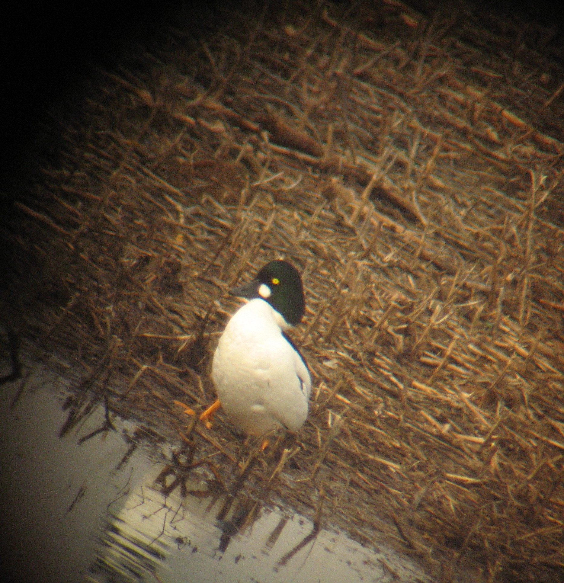
Common Goldeneye on land

Zebra Swallowtail - Eurytides marcellus

Tennessee River
Umbrella Magnolia - Magnolia tripetala
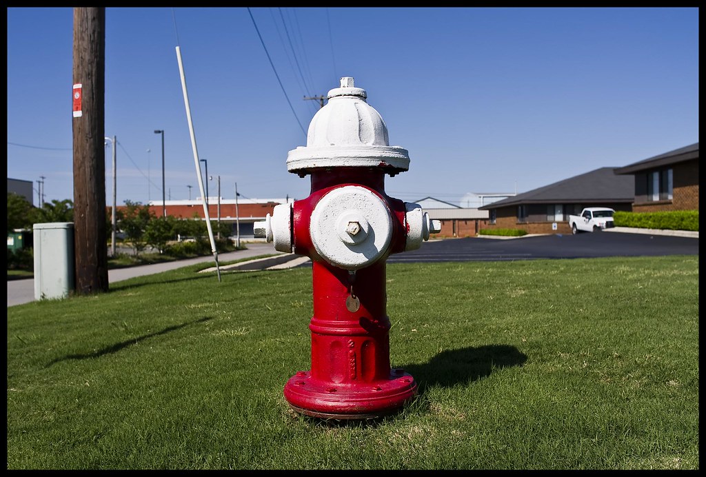
hydrant #1
Probable Alabama Supplejack - Berchemia scandens
on the way to church
Mother's house 16
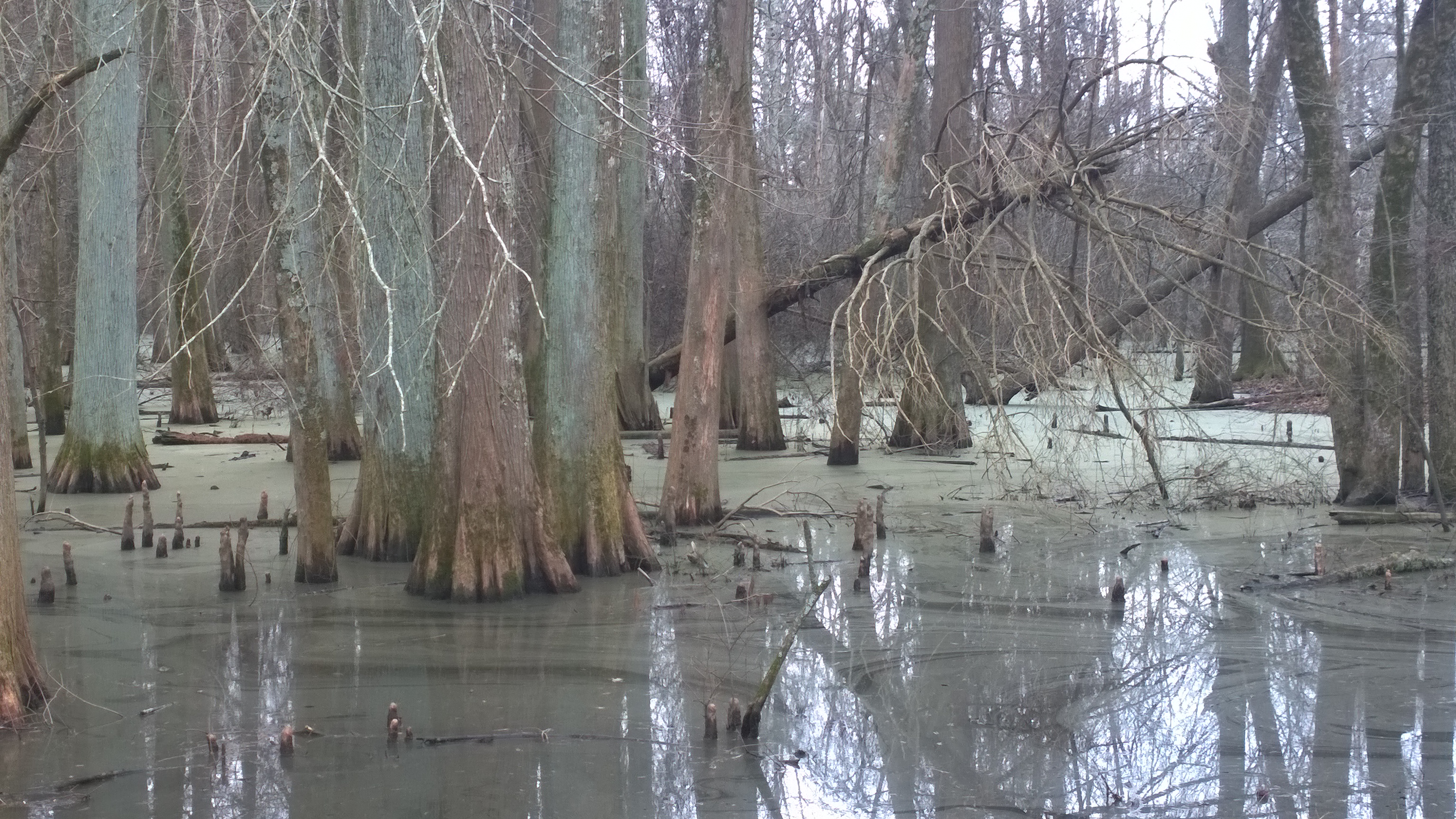
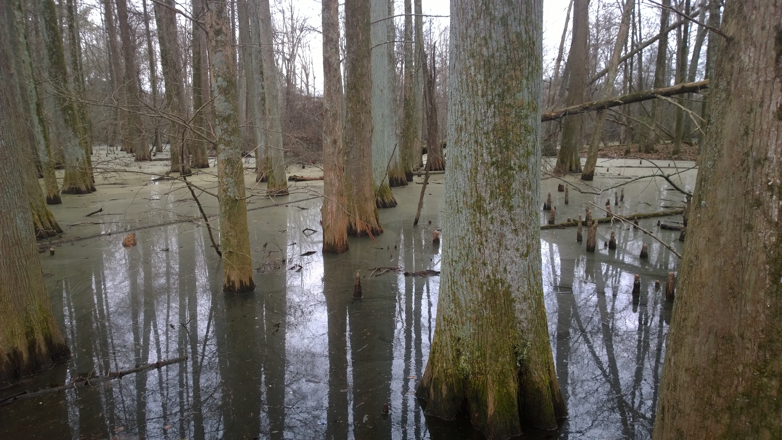
Cypress wetland @ Wheeler NWR

View from my window
NS 325
trio of water beetles

Clip-wing Grasshopper - Metaleptea brevicornis
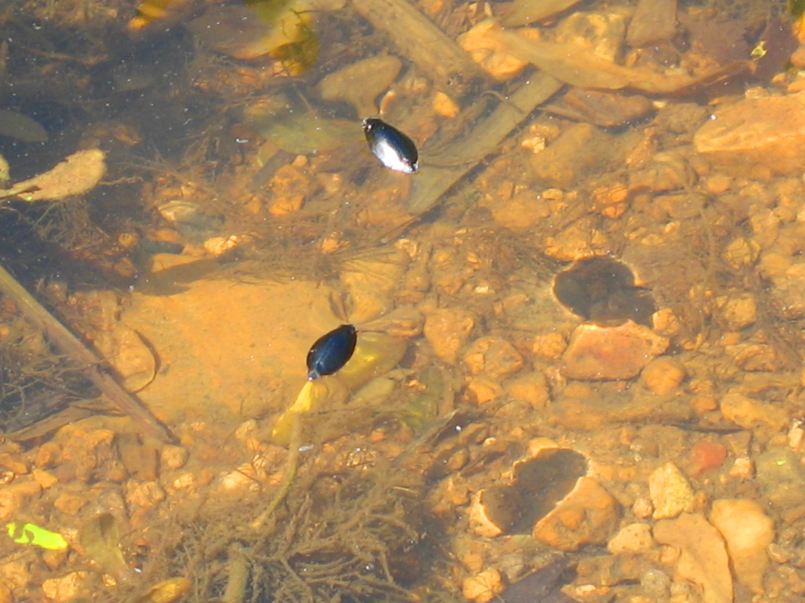
two water beetles
IMG_0219-1
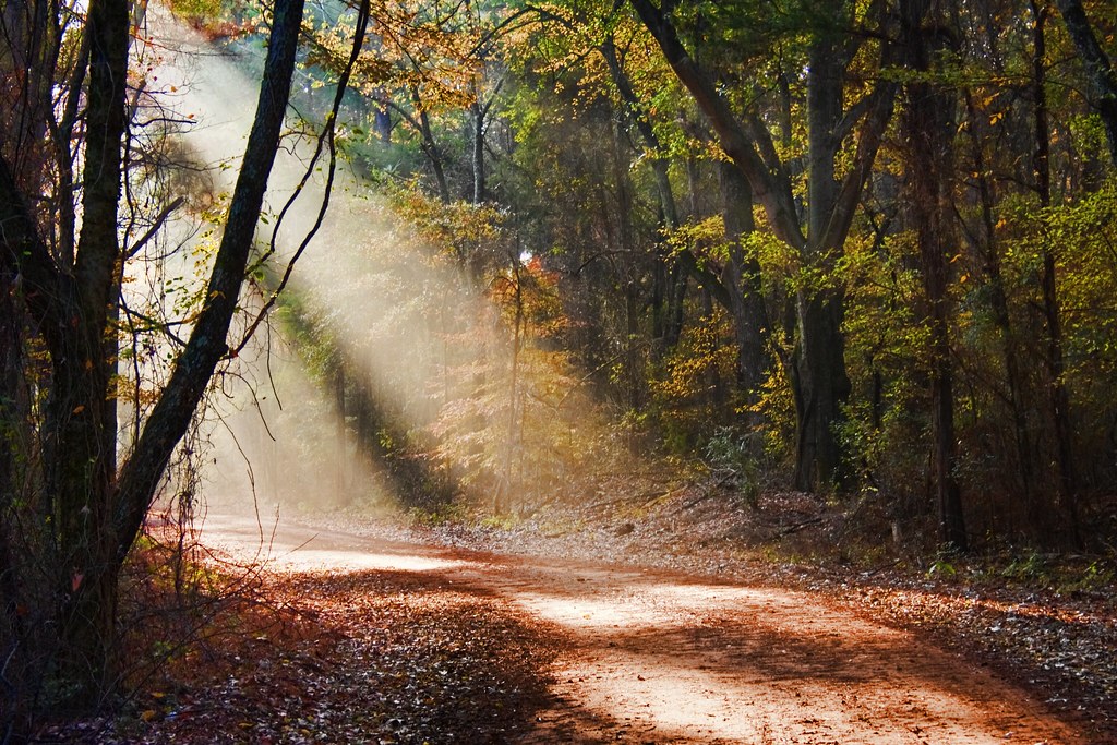
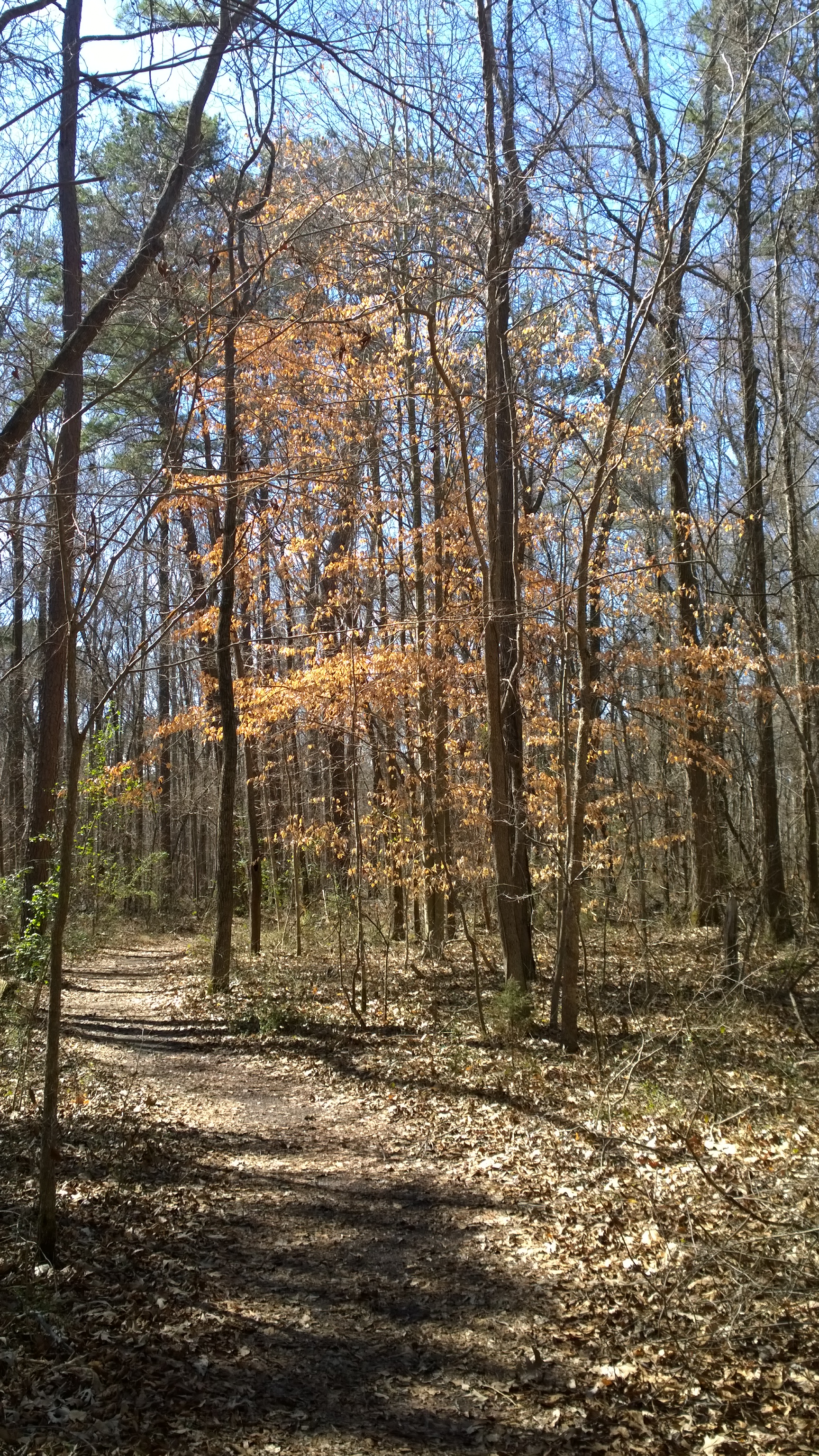
Sunbeams Thru the Canopy

Sunlit Pink Something or Others

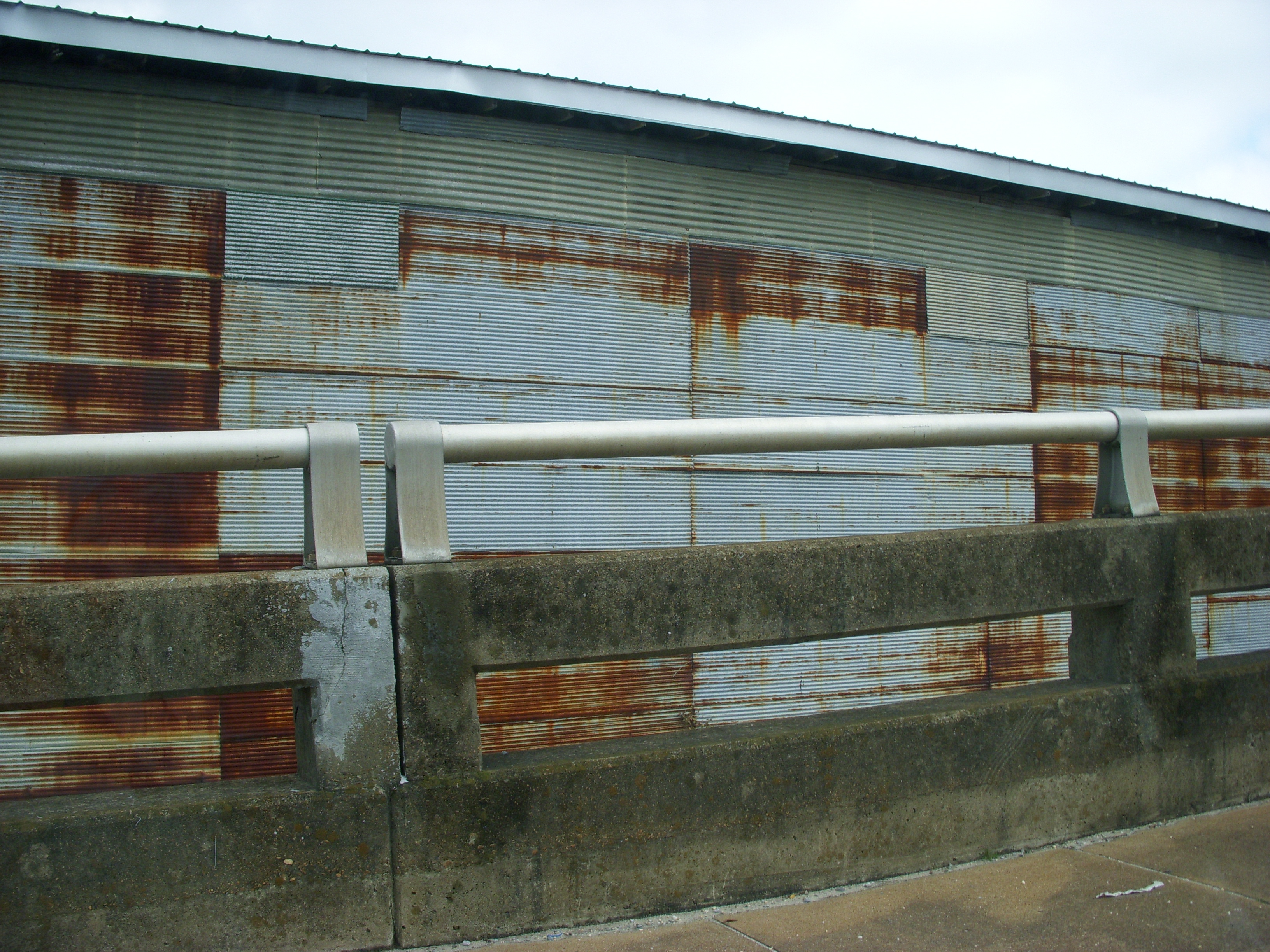
Delano Park Bridge Study I
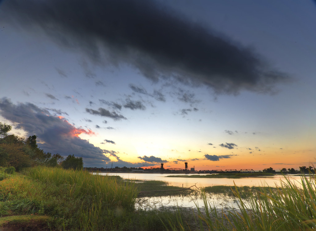
Decatur Sunset

Bald Cypress Tree (Taxodium distichum) "knees"
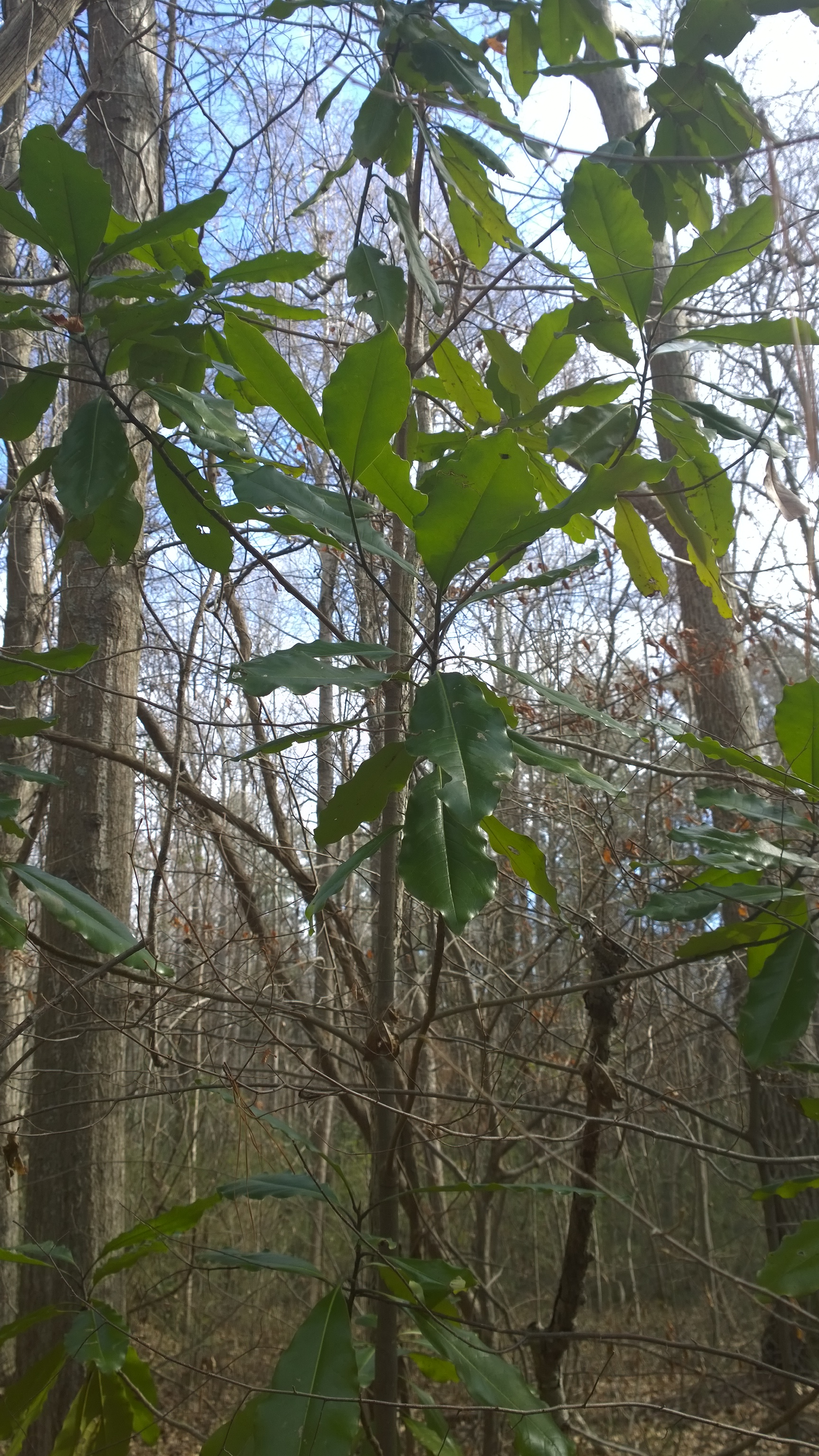
American Beech - Fagus grandifolia
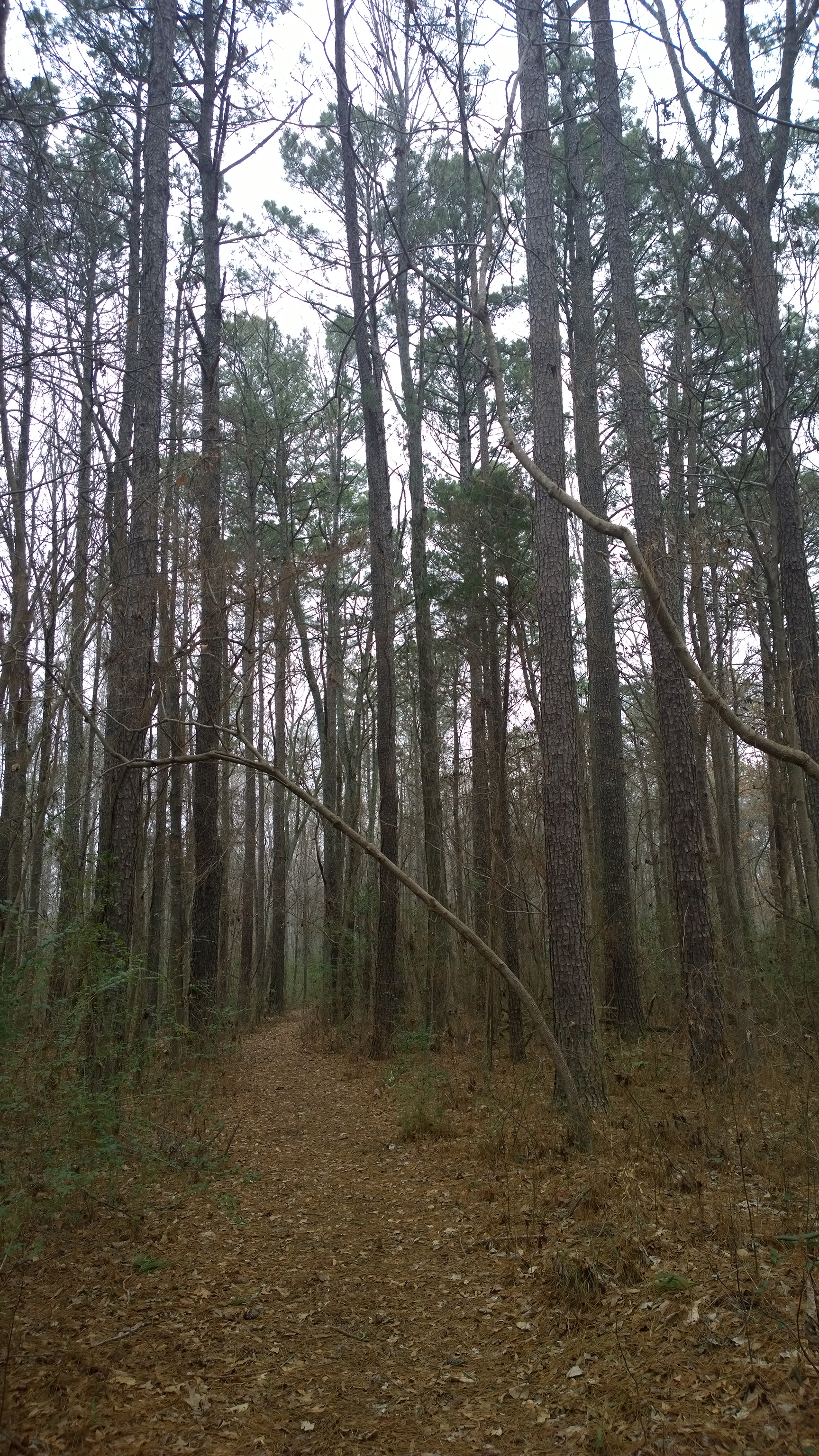
Lowland Loblolly Pine forest
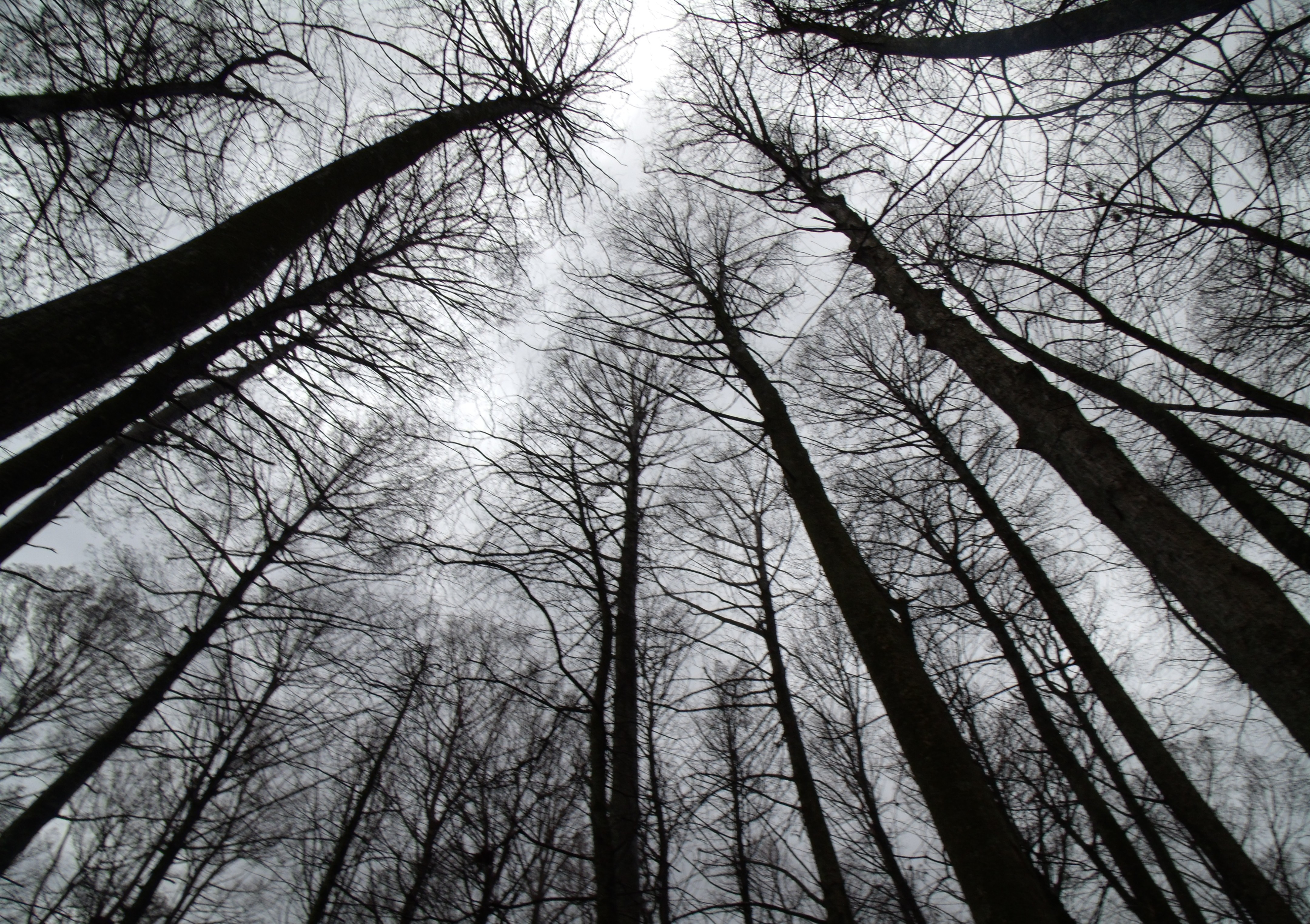
Trees at Wheeler
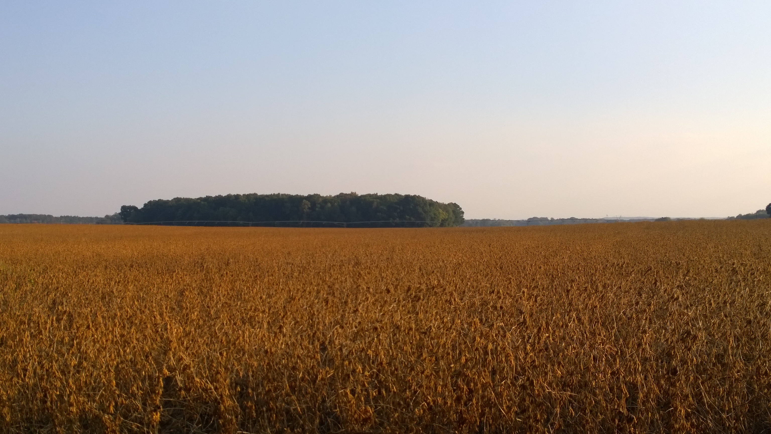
Fall field of soybeans

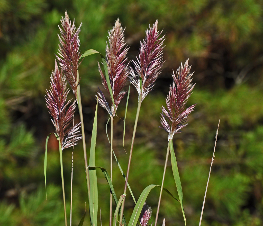
Grass of some sort
Baldcypress - Taxodium distichum, 900th posted photo from Wheeler NWR, Decatur, AL

Misty Morning Creekbank
Day after Halloween
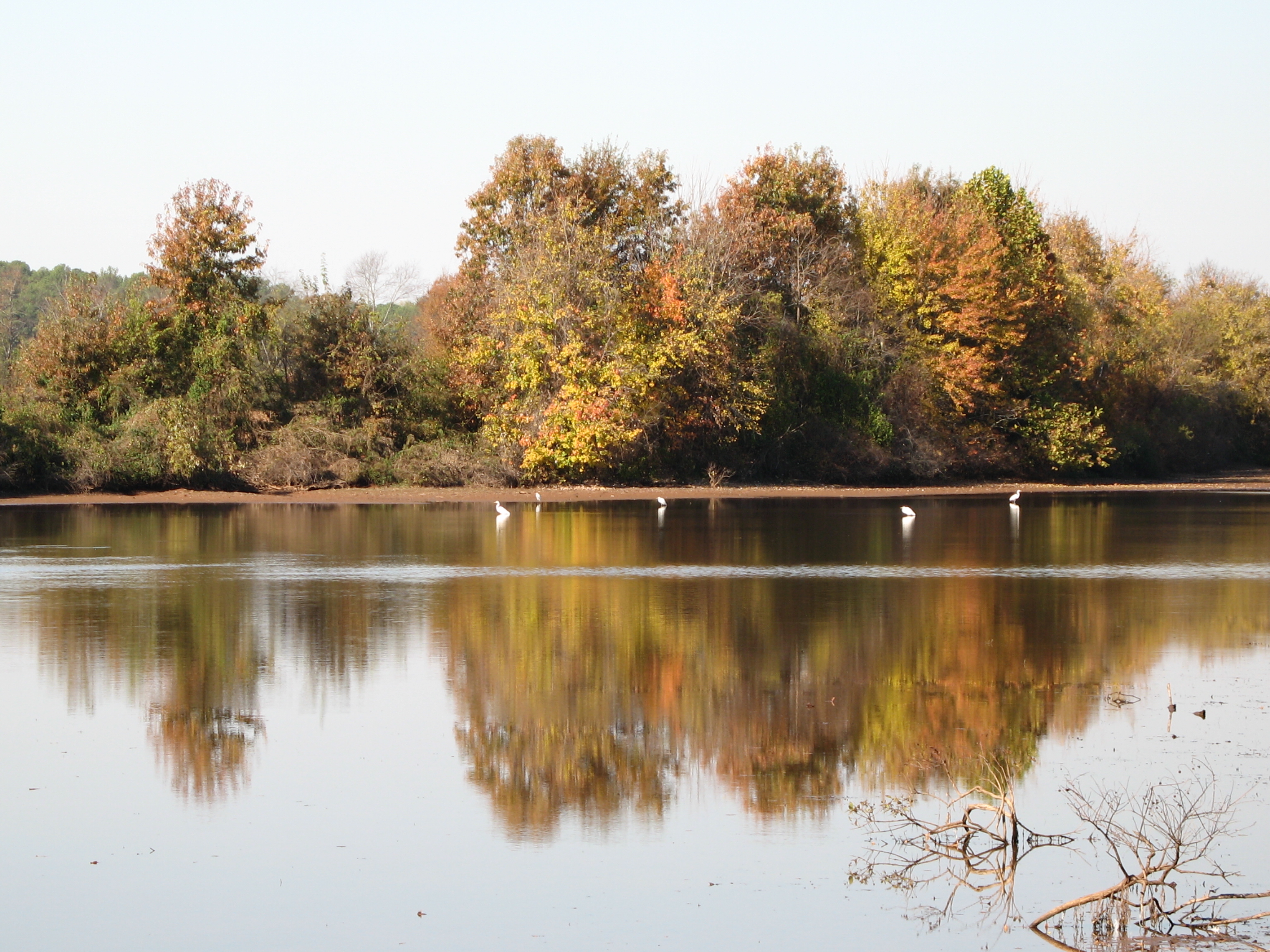
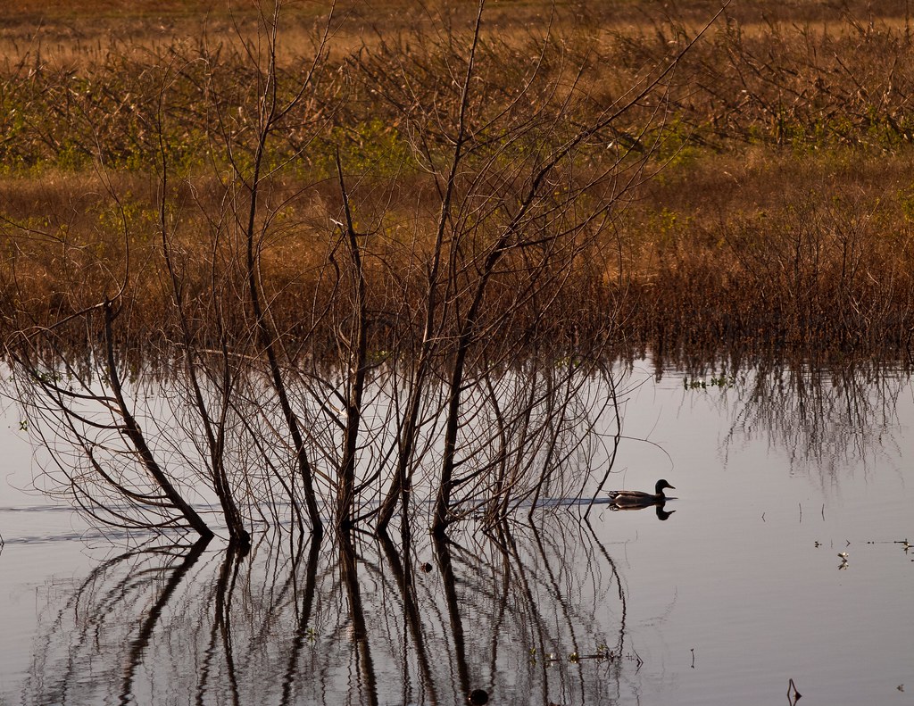
Egrets in fall reflections
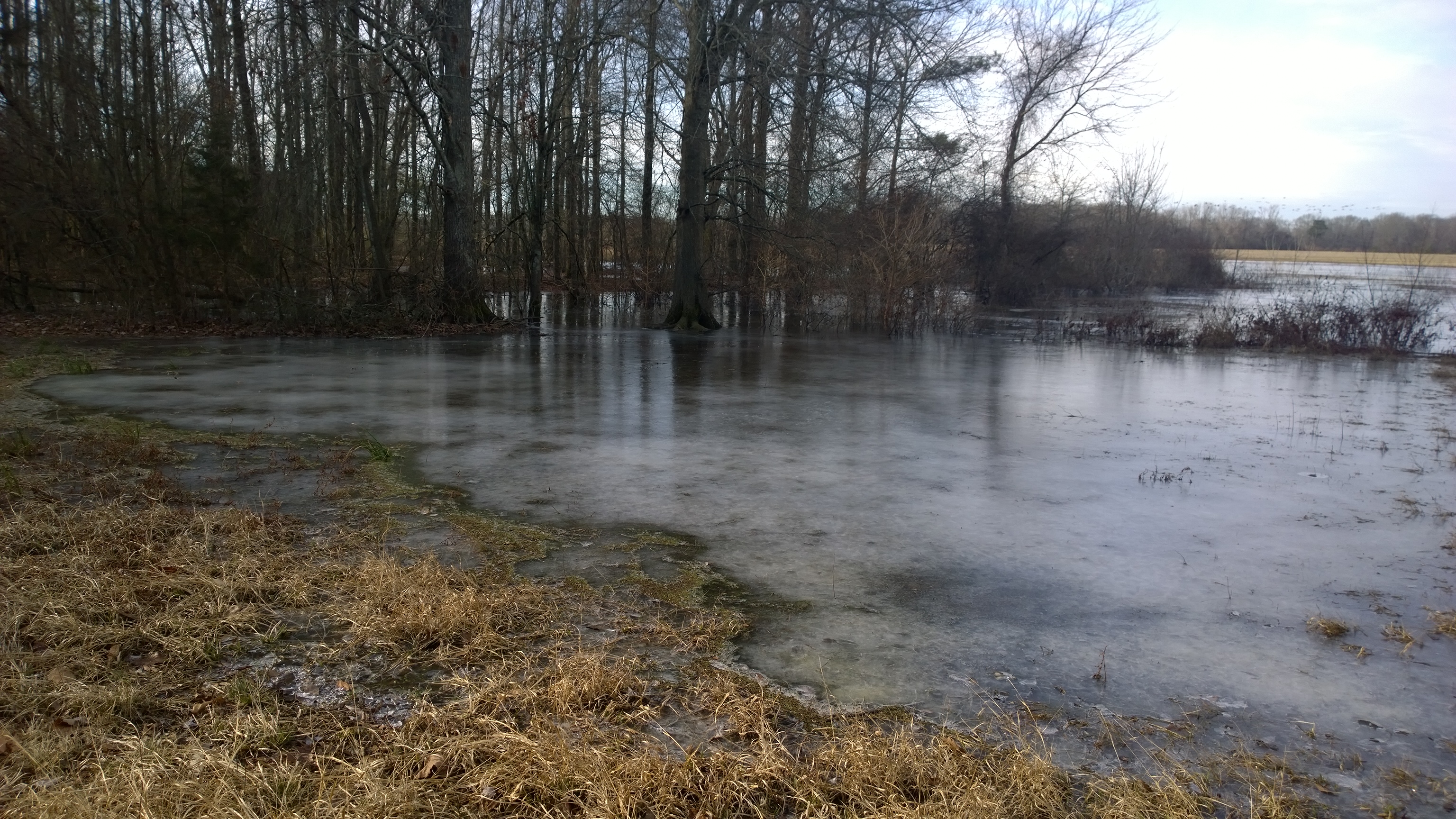
Icy inlet
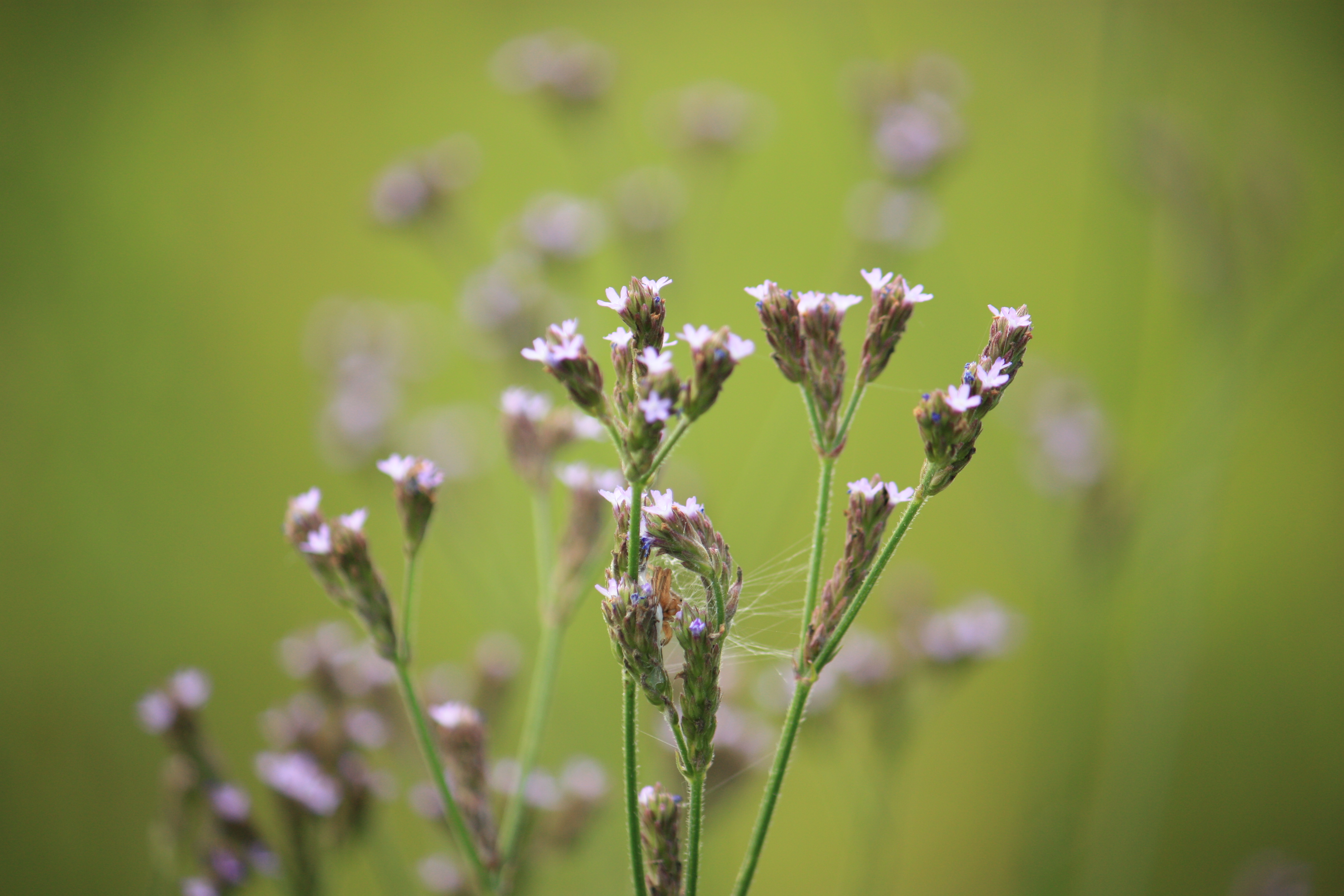
purple little flowers
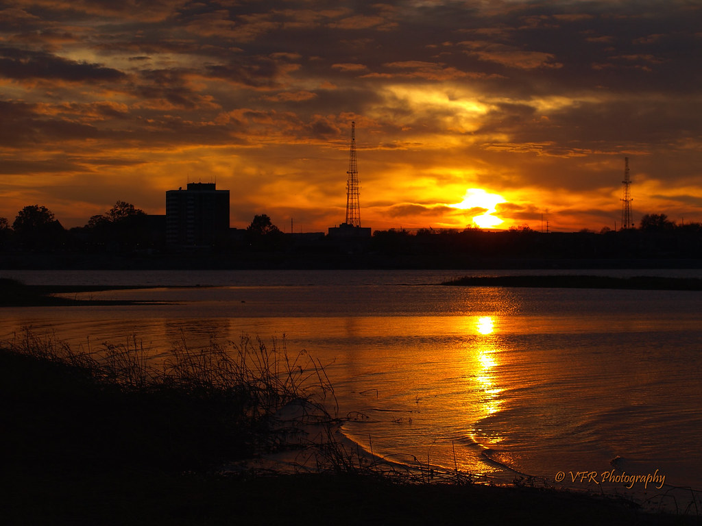
Tennessee River sunset... (alternates)

So how low lying is it?
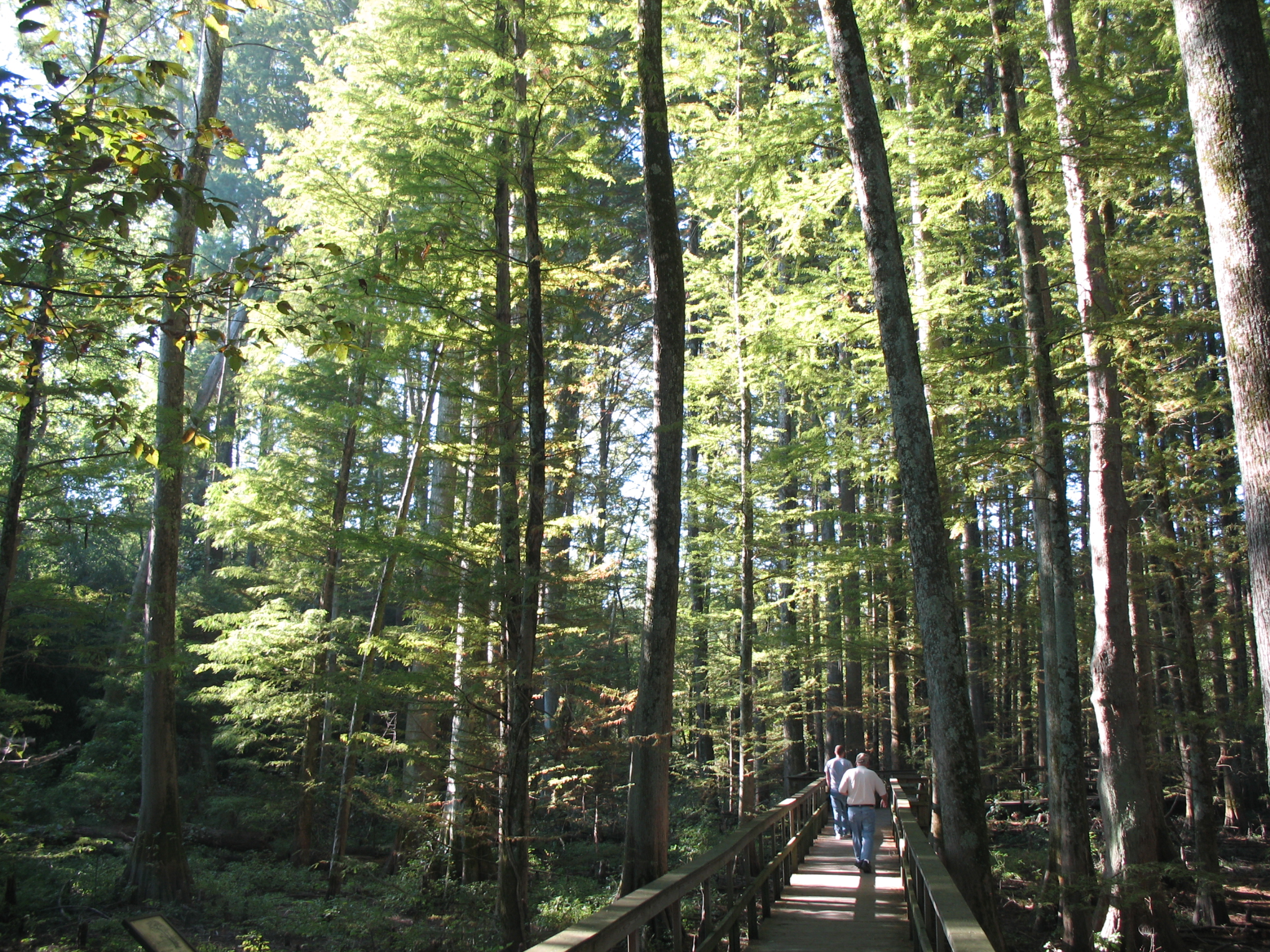
Boardwalk through bald cypress swamp
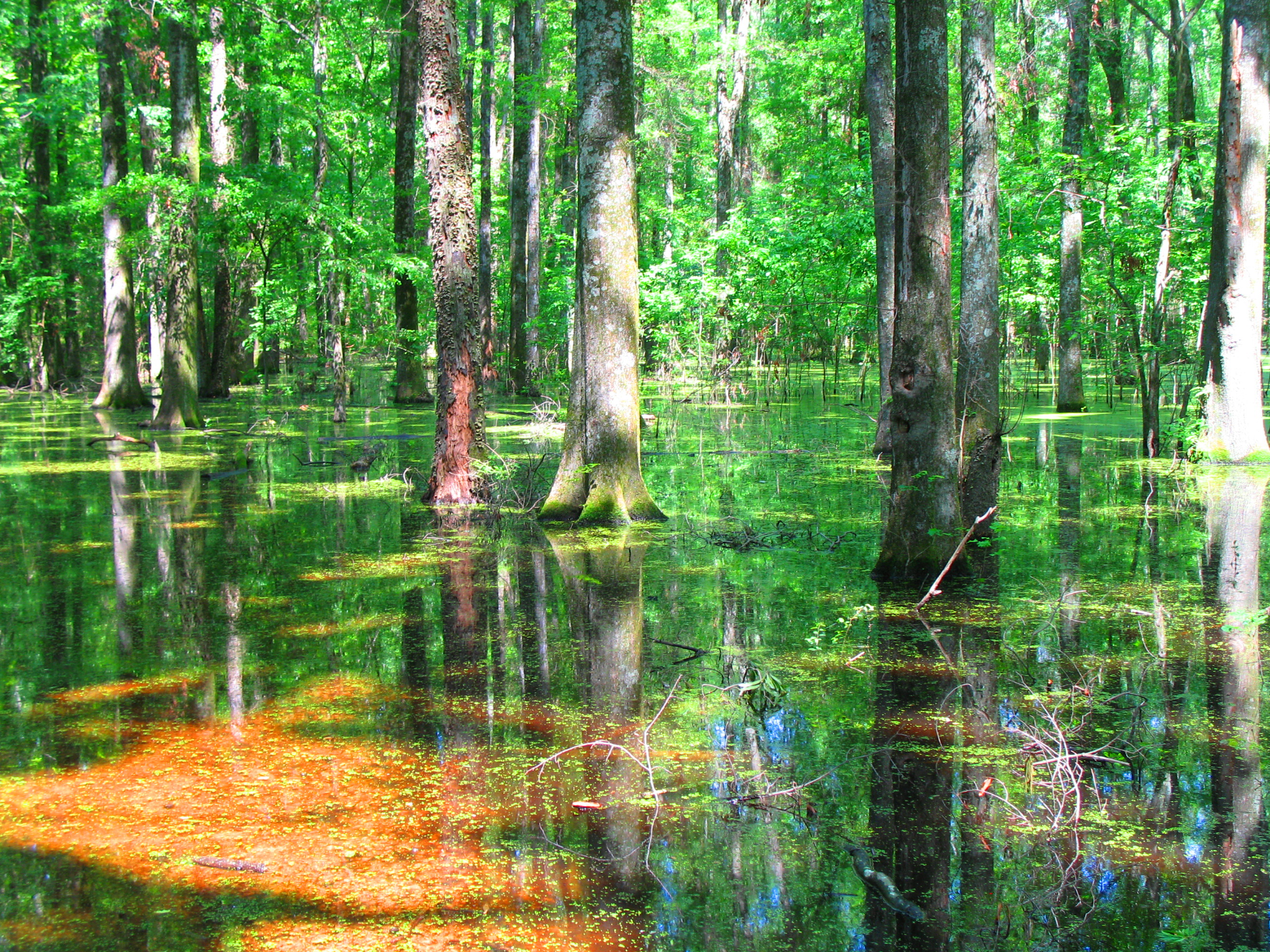
Green green swamp
Waving a Pink Flag
Topographic Map of Moulton St W, Decatur, AL, USA
Find elevation by address:

Places near Moulton St W, Decatur, AL, USA:
Decatur
Hillside Rd SW, Decatur, AL, USA
Central United Methodist Church
Vernon St SW, Decatur, AL, USA
1204 Terre Haute Ave Sw
2209 Johnston St Se
Kathy Ln SW, Decatur, AL, USA
2214 Essex Dr Sw
Sandlin Rd SW, Decatur, AL, USA
2209 College St Se
2209 College St Se
1609 St James Ct Se
2812 Montrose Dr Sw
Decatur Med-surg Clinic
2700 Avondale Ct Se
2712 Revere Ave Sw
1015 Way Thru The Woods Sw
910 Way Thru The Woods Sw
1206 Loggers Way Sw
822 Longbow Dr Sw
Recent Searches:
- Elevation of SW Elderview Dr, Sherwood, OR, USA
- Elevation of Hickory St, Greenville, NC, USA
- Elevation of Poplar Ln, Guffey, CO, USA
- Elevation of Falling Spring Rd, Clyde, NC, USA
- Elevation of Kingsfield St, Castle Rock, CO, USA
- Elevation of AMELIA CT HSE, VA, USA
- Elevation of Abbey Dr, Virginia Beach, VA, USA
- Elevation of Brooks Lp, Spearfish, SD, USA
- Elevation of Panther Dr, Maggie Valley, NC, USA
- Elevation of Jais St - Wadi Shehah - Ras al Khaimah - United Arab Emirates