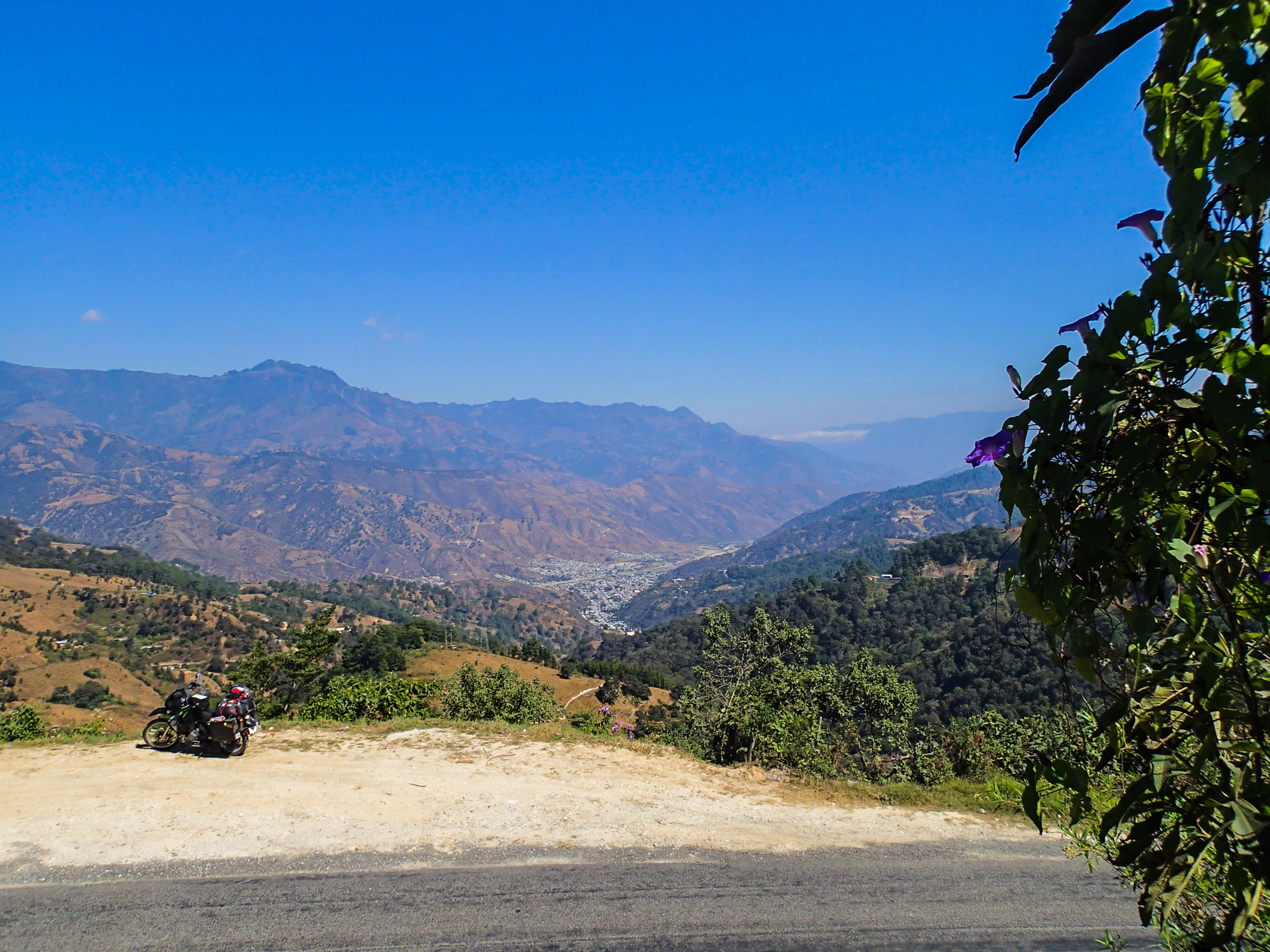
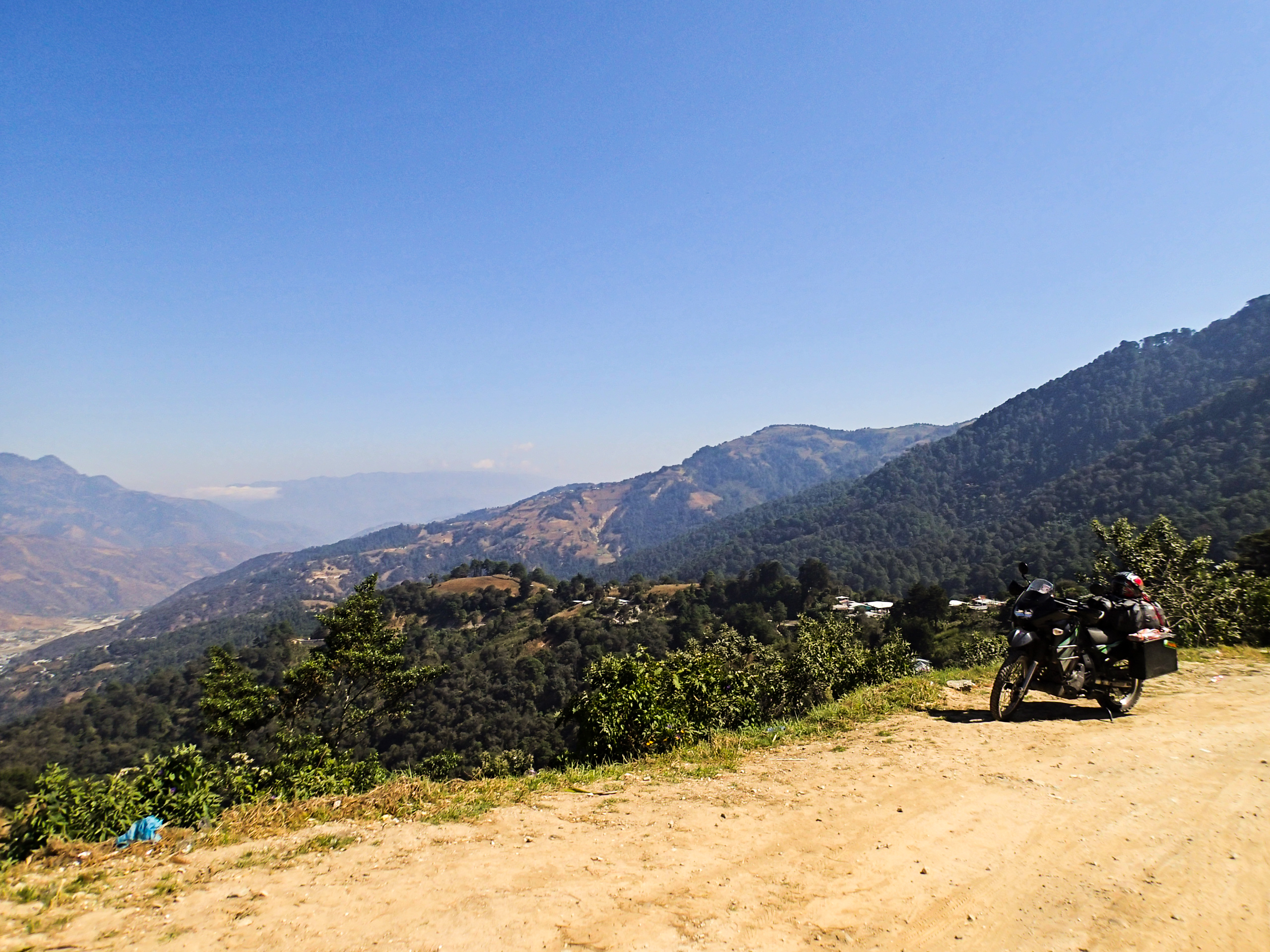
Elevation of Motozintla, Chis., Mexico
Location: Mexico > Chiapas >
Longitude: -92.248067
Latitude: 15.3637862
Elevation: 1286m / 4219feet
Barometric Pressure: 87KPa
Elevation Map:
Satellite Map:
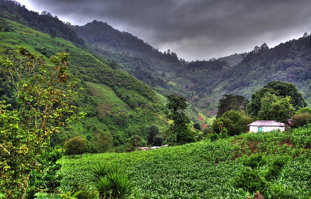
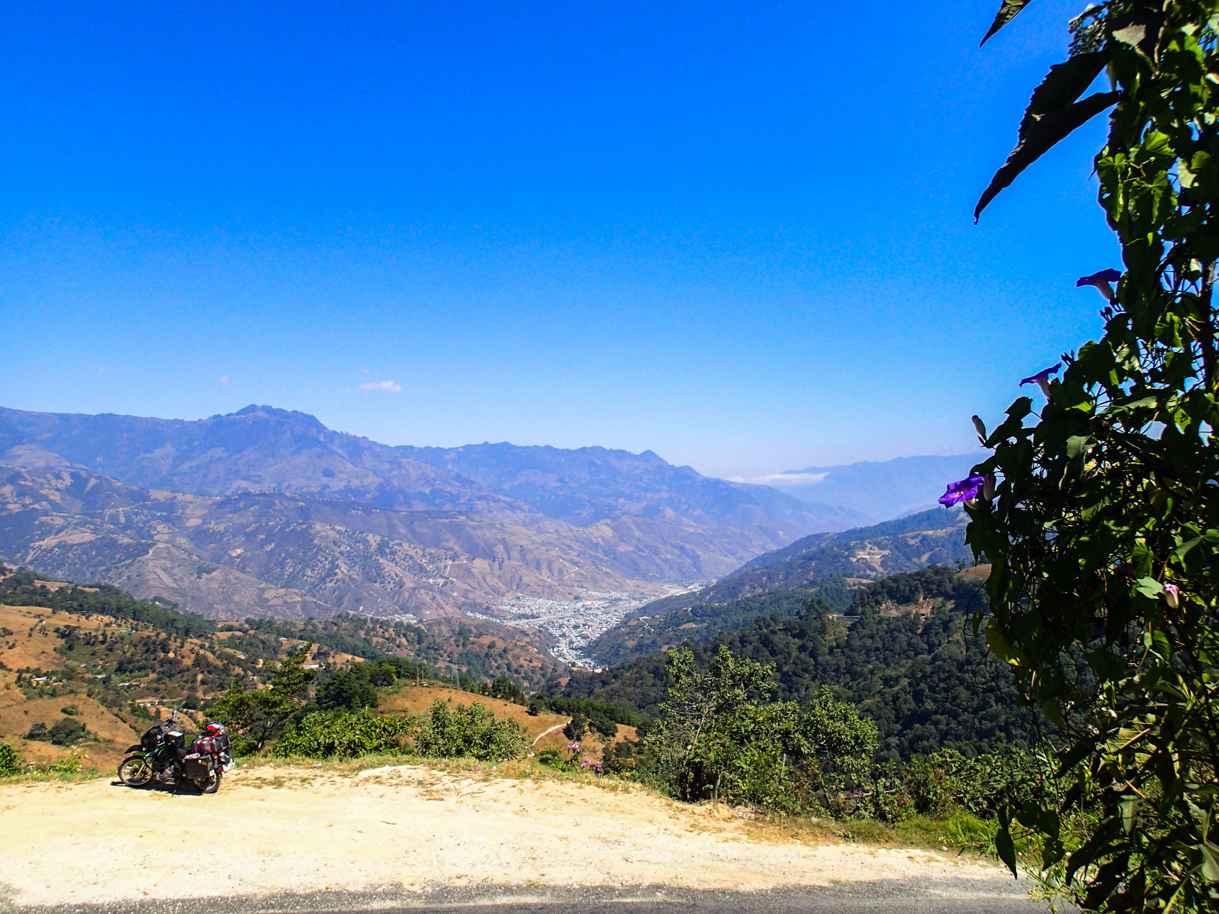
Related Photos:
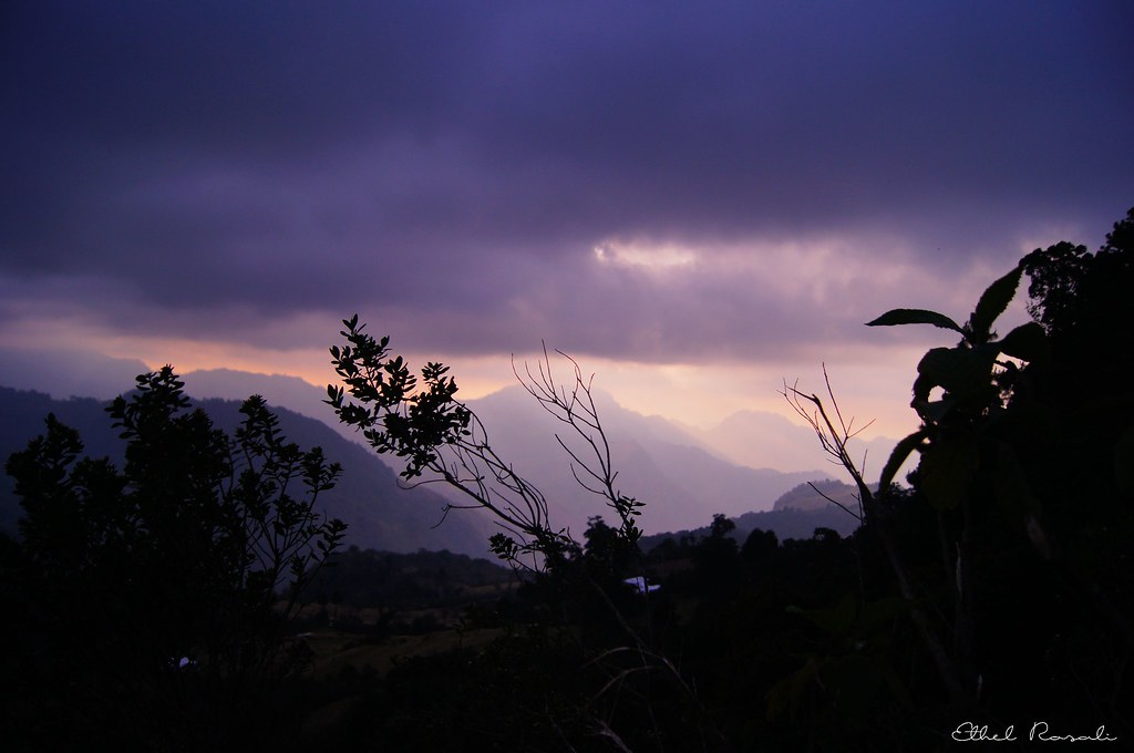
Muy alto
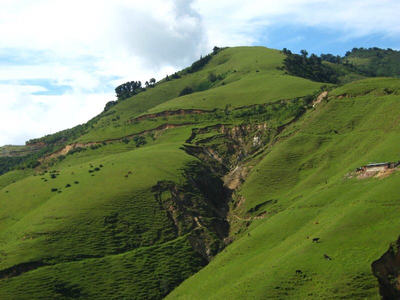
El Rosario
CHIAPAS hdr
PC120060.jpg
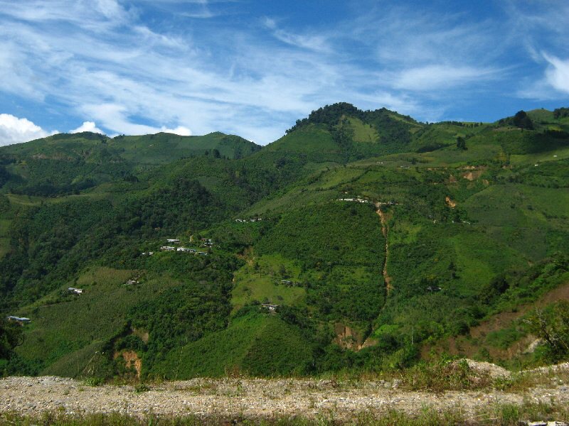
Motozintla de Mendoza

PC120064.jpg
PC120063.jpg
PC120066.jpg

PC120065.jpg
Topographic Map of Motozintla, Chis., Mexico
Find elevation by address:

Places in Motozintla, Chis., Mexico:
Places near Motozintla, Chis., Mexico:
Centro
Primera Avenida Nte., Centro, Motozintla, Chis., Mexico
Motozintla
Central Ote Dr Velasco Suárez 68, El Porvenir, El Porvenir, Chis., Mexico
El Porvenir De Velasco Suárez
El Porvenir De Velasco Suárez
El Porvenir
Tacaná Volcano
Miguel Hidalgo, Unión Jamaica, Chis., Mexico
Unión Jamaica
Carrillo Puerto
Centro
Tercera Nte 4, Centro, Ejido del Centro, Chis., Mexico
Escuintla
Escuintla
Mz9 Lt262
Canal de Panamá 9, Las Americas 1ra Secc, Tapachula de Córdova y Ordoñez, Chis., Mexico
Gustavo Díaz Ordaz 43, Loma Linda, Tapachula de Córdova y Ordoñez, Chis., Mexico
Loma Linda
Tapachula
Recent Searches:
- Elevation of Corso Fratelli Cairoli, 35, Macerata MC, Italy
- Elevation of Tallevast Rd, Sarasota, FL, USA
- Elevation of 4th St E, Sonoma, CA, USA
- Elevation of Black Hollow Rd, Pennsdale, PA, USA
- Elevation of Oakland Ave, Williamsport, PA, USA
- Elevation of Pedrógão Grande, Portugal
- Elevation of Klee Dr, Martinsburg, WV, USA
- Elevation of Via Roma, Pieranica CR, Italy
- Elevation of Tavkvetili Mountain, Georgia
- Elevation of Hartfords Bluff Cir, Mt Pleasant, SC, USA