Elevation of Morton, KS, USA
Location: United States > Kansas > Sedgwick County >
Longitude: -97.763401
Latitude: 37.6170793
Elevation: 418m / 1371feet
Barometric Pressure: 96KPa
Elevation Map:
Satellite Map:
Related Photos:

Observatory at work

Little Guy
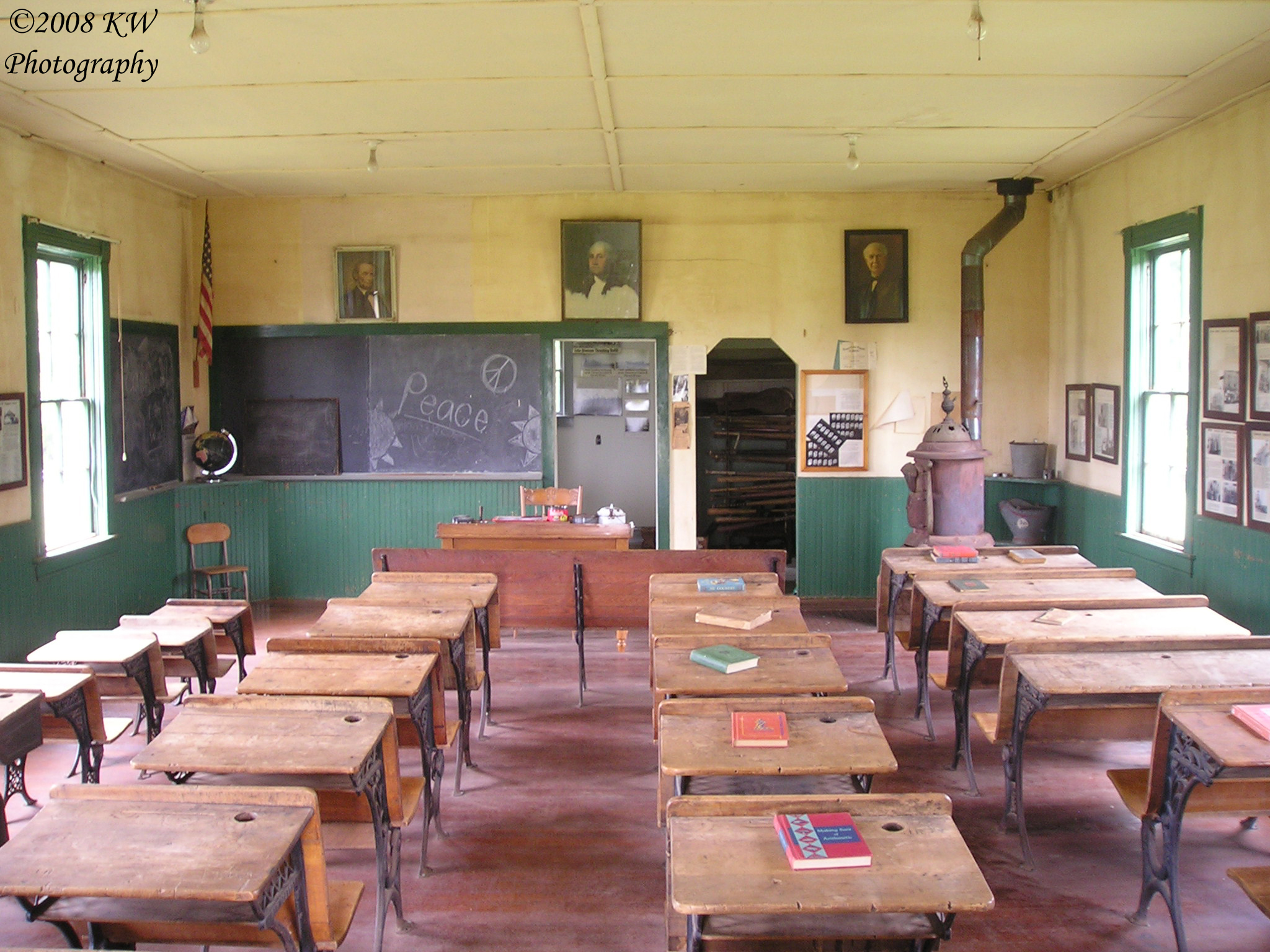
School Interior

Last shot of the night
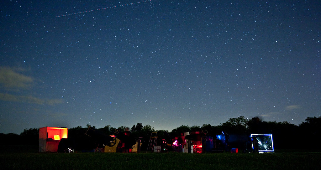
Stargazing party

LAPO in the Moonlight
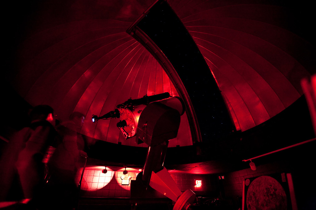
Inside the dome

Cool Front
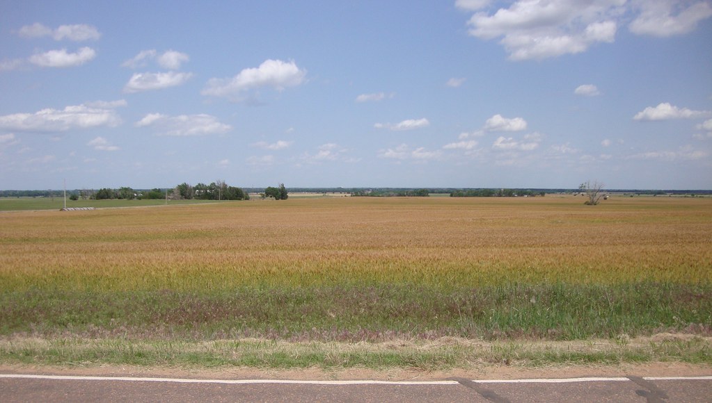
Kansas Wheat Field (Kingman County, Kansas)
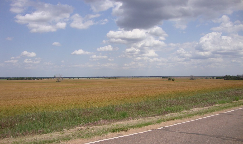
Kansas Wheat Field (Kingman County, Kansas)
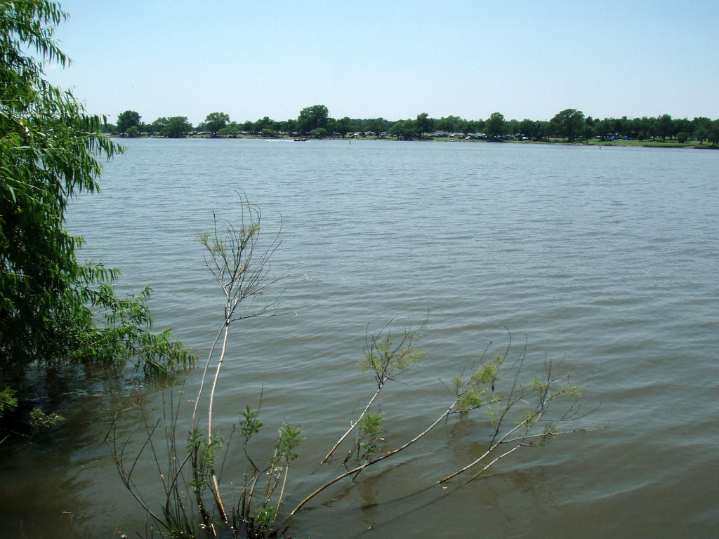
Lake Afton
Lake Afton
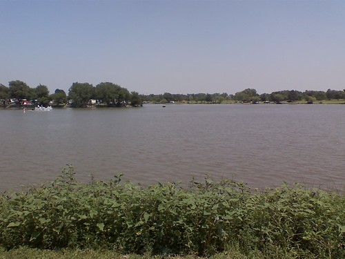
0704081358.jpg
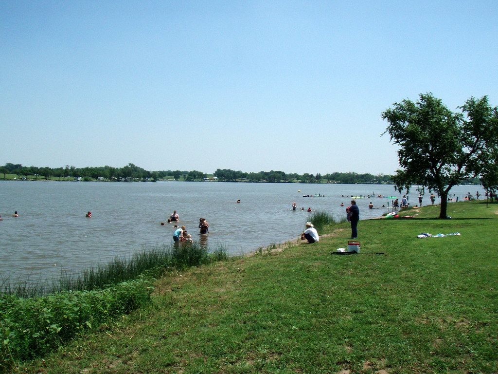
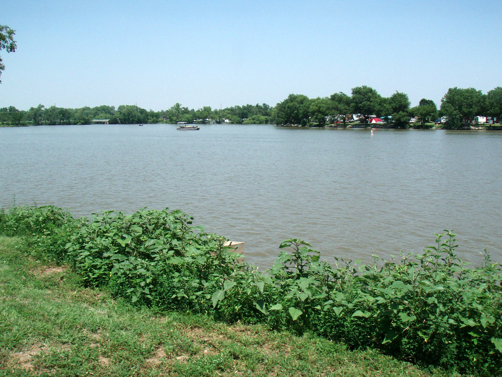
Lake Afton
Topographic Map of Morton, KS, USA
Find elevation by address:

Places in Morton, KS, USA:
Places near Morton, KS, USA:
W 3rd Ave, Cheney, KS, USA
Cheney
5601 S 343rd St W
5601 S 343rd St W
W Harry St, Cheney, KS, USA
Grand River
Garden Plain
E Maple Grove Rd, Mt Hope, KS, USA
W 13th St N, Garden Plain, KS, USA
Garden Plain
2nd Ave E, Norwich, KS, USA
Norwich
Oak Street Elementary
Goddard
N Main St, Goddard, KS, USA
Bennett
19944 W Kellogg Dr
838 S 199th St W
S rd St W, Viola, KS, USA
Illinois
Recent Searches:
- Elevation of Elwyn Dr, Roanoke Rapids, NC, USA
- Elevation of Congressional Dr, Stevensville, MD, USA
- Elevation of Bellview Rd, McLean, VA, USA
- Elevation of Stage Island Rd, Chatham, MA, USA
- Elevation of Shibuya Scramble Crossing, 21 Udagawacho, Shibuya City, Tokyo -, Japan
- Elevation of Jadagoniai, Kaunas District Municipality, Lithuania
- Elevation of Pagonija rock, Kranto 7-oji g. 8"N, Kaunas, Lithuania
- Elevation of Co Rd 87, Jamestown, CO, USA
- Elevation of Tenjo, Cundinamarca, Colombia
- Elevation of Côte-des-Neiges, Montreal, QC H4A 3J6, Canada