Elevation map of Morton County, ND, USA
Location: United States > North Dakota >
Longitude: -101.16217
Latitude: 46.6683872
Elevation: 660m / 2165feet
Barometric Pressure: 94KPa
Elevation Map:
Satellite Map:
Related Photos:

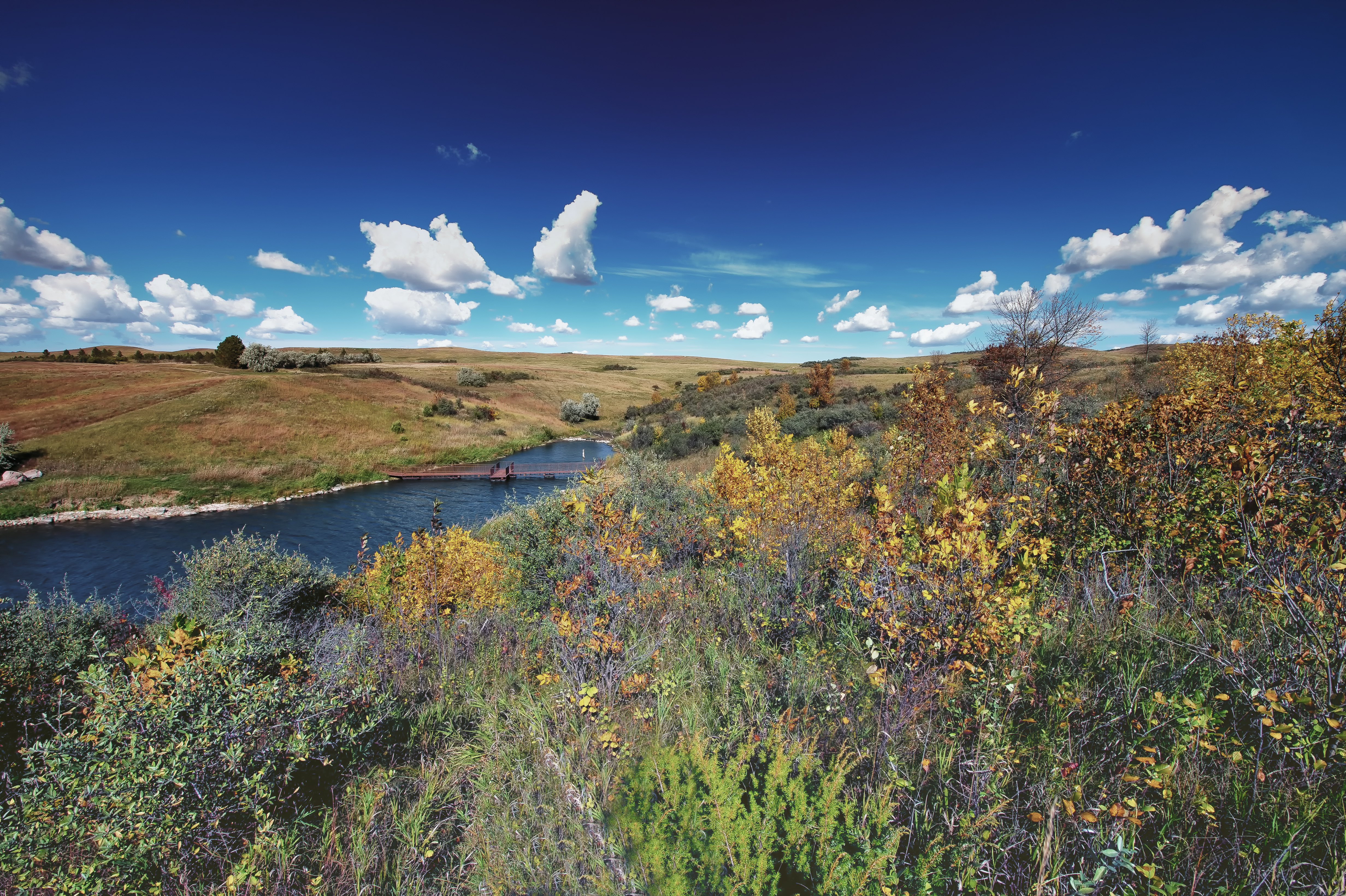
Fish Creek Dam 2
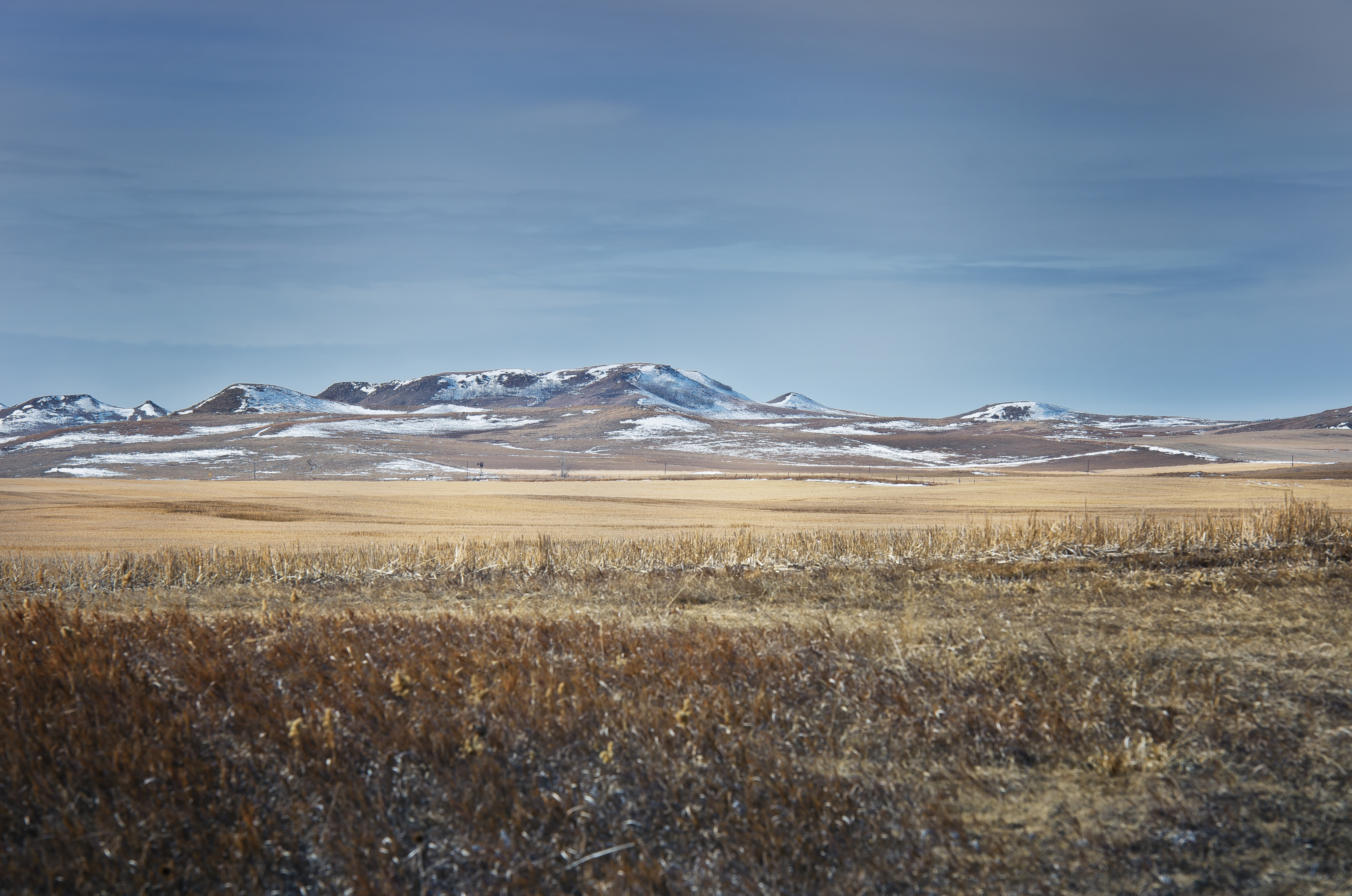
Morton County March21 A CE

Fish Creek Dam HDR

FCD 9 29 13 L2 Color
FCD 1 Color

FCD 9 29 13 L4 Color

FCD 9 29 13 L1 Color

FCD 9 29 13 V2 Color
Topographic Map of Morton County, ND, USA
Find elevation by address:

Places in Morton County, ND, USA:
Places near Morton County, ND, USA:
Fort Rice, ND, USA
Mandan
East Morton
303 Mia Ct Se
Mandan
E Main St, Mandan, ND, USA
2010 34th Ave Se
Timberhaven Drive
6717 Kingswood Rd
2807 Langer Ln
6864 Deerewood Ln
46th Avenue Southeast
1648 Timberhaven Dr S
3305 Tavis Rd
1638 Timberhaven Dr S
Keelboat Park
4405 Lucas St
3726 Powder Ridge Dr
3726 Powder Ridge Dr
2724 Essex Loop
Recent Searches:
- Elevation of Spaceport America, Co Rd A, Truth or Consequences, NM, USA
- Elevation of Warwick, RI, USA
- Elevation of Fern Rd, Whitmore, CA, USA
- Elevation of 62 Abbey St, Marshfield, MA, USA
- Elevation of Fernwood, Bradenton, FL, USA
- Elevation of Felindre, Swansea SA5 7LU, UK
- Elevation of Leyte Industrial Development Estate, Isabel, Leyte, Philippines
- Elevation of W Granada St, Tampa, FL, USA
- Elevation of Pykes Down, Ivybridge PL21 0BY, UK
- Elevation of Jalan Senandin, Lutong, Miri, Sarawak, Malaysia