Elevation of Morris County, KS, USA
Location: United States > Kansas >
Longitude: -96.663812
Latitude: 38.7144832
Elevation: 440m / 1444feet
Barometric Pressure: 96KPa
Elevation Map:
Satellite Map:
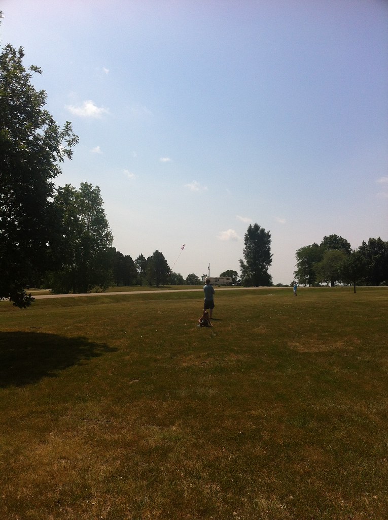
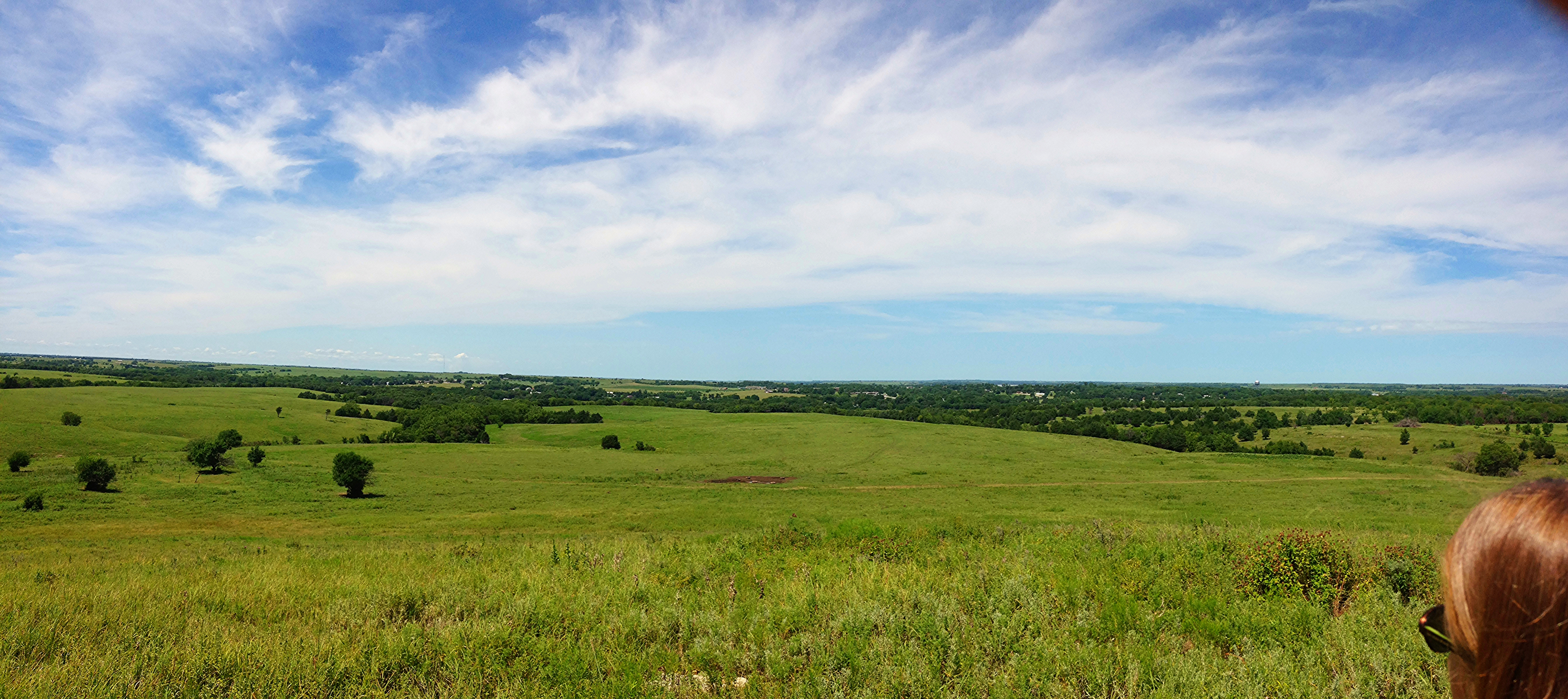
Related Photos:
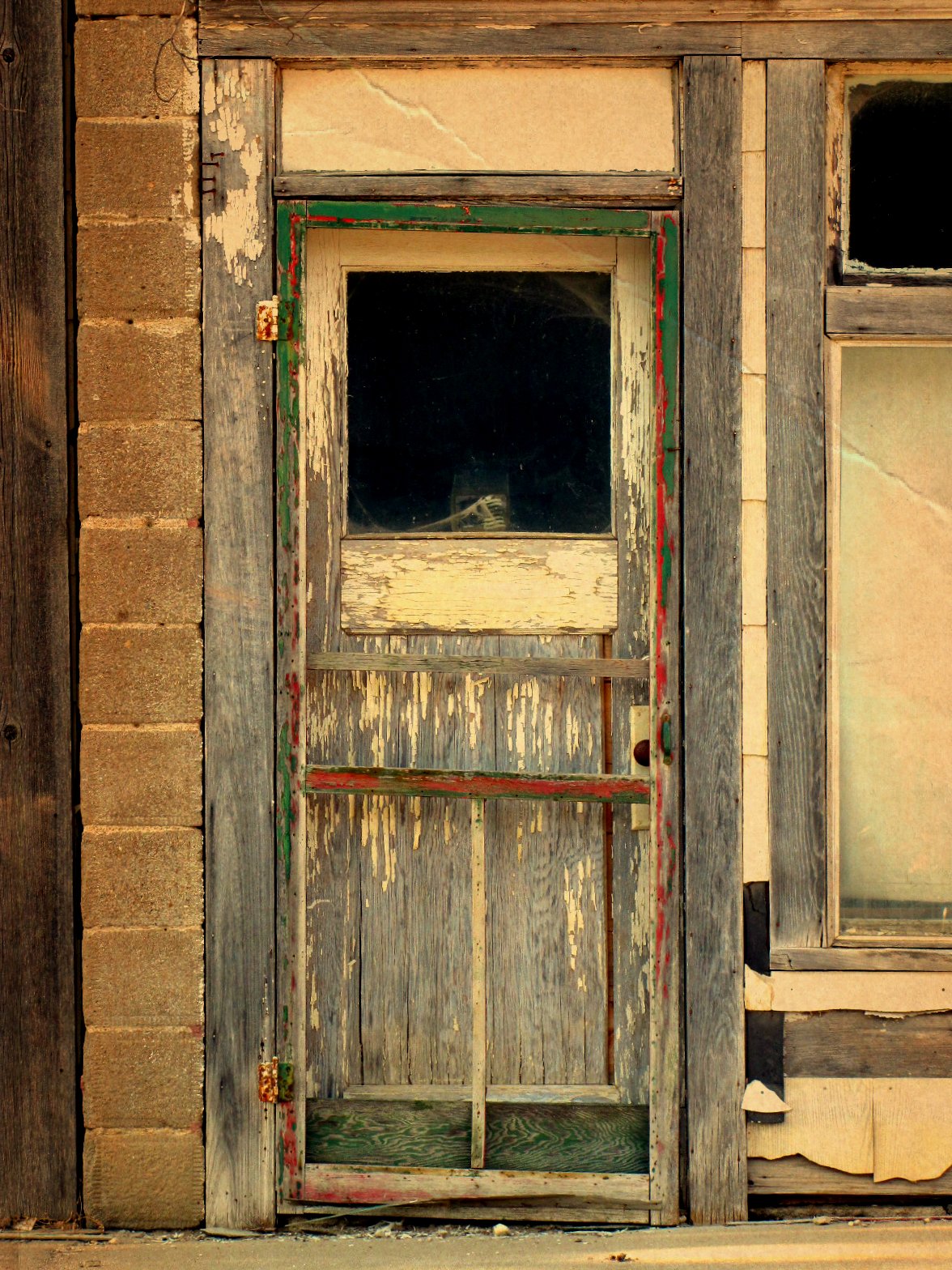
Doorway of death
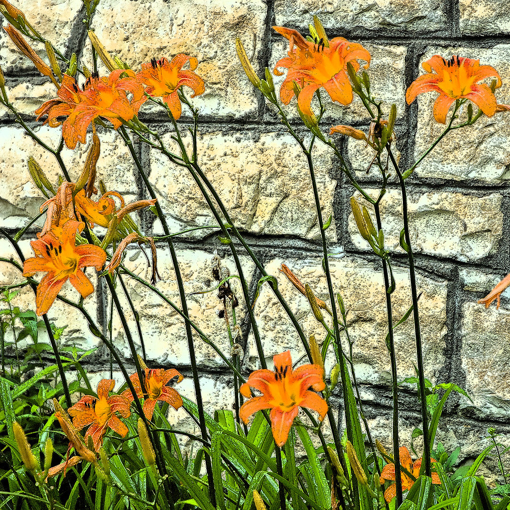
Tiger Lilies
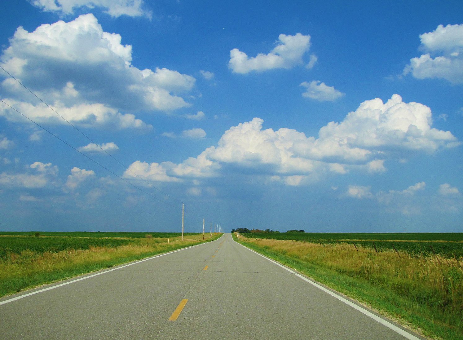
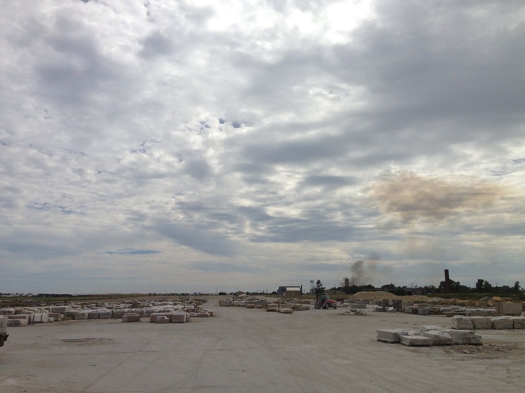
Two lane prairie asphalt
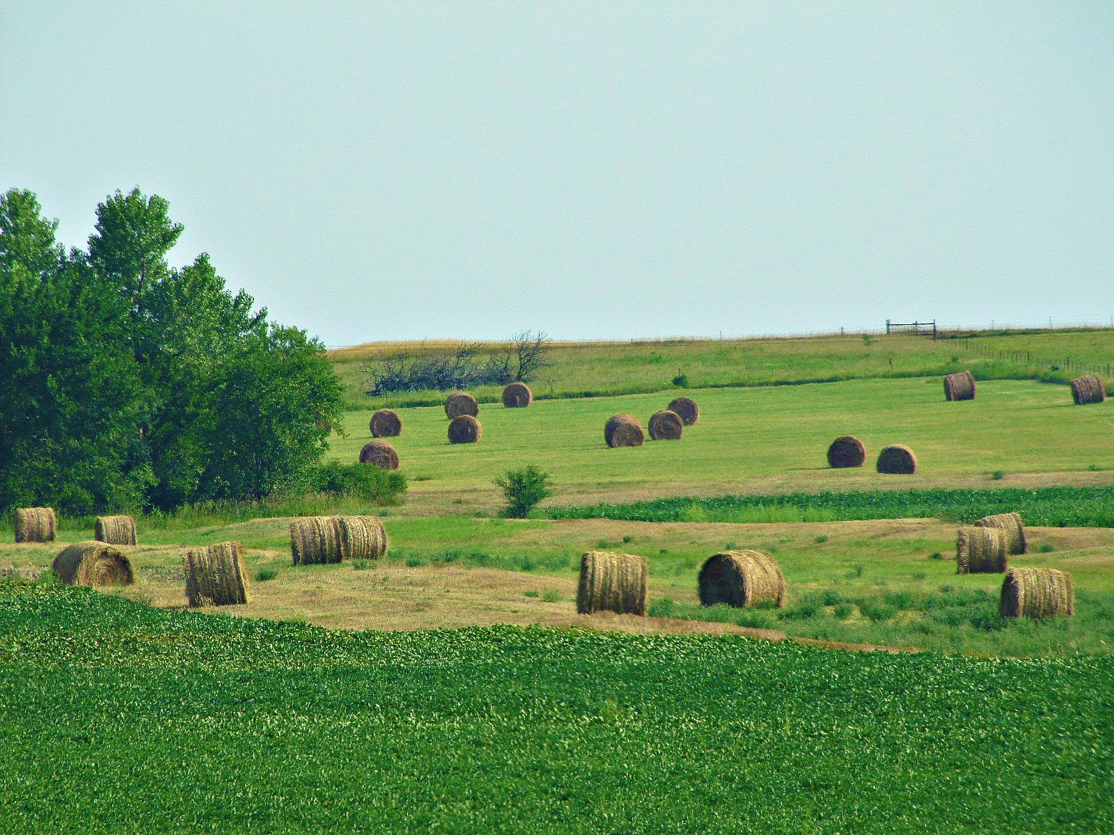
Round bales of Morris County
Herington, Kansas
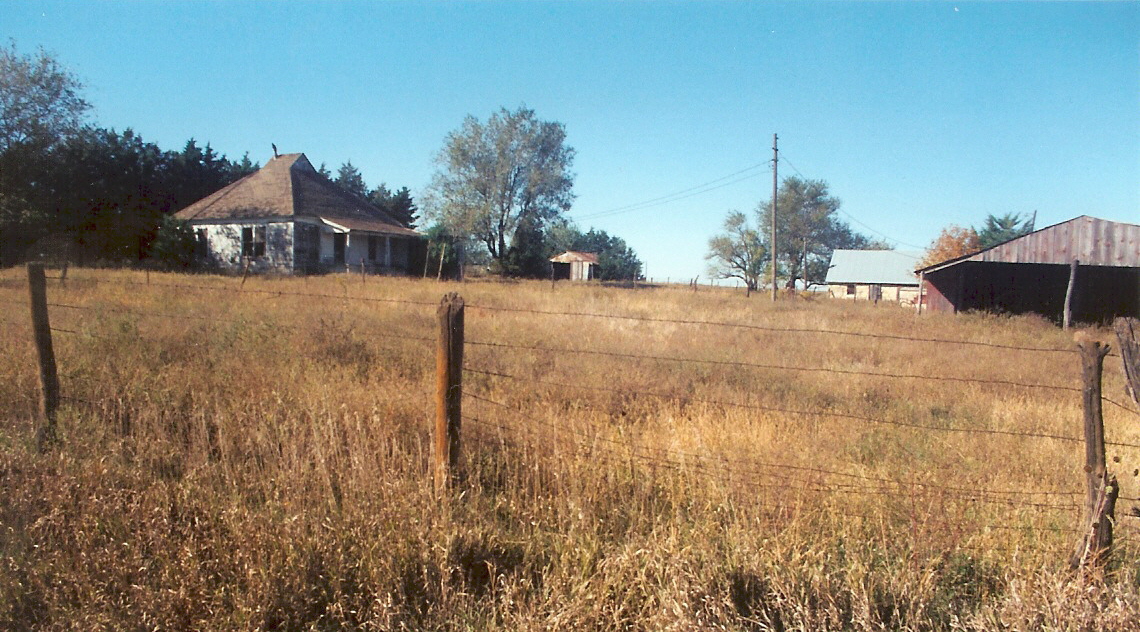
Eric Hedeen farm, nr White City, Kansas
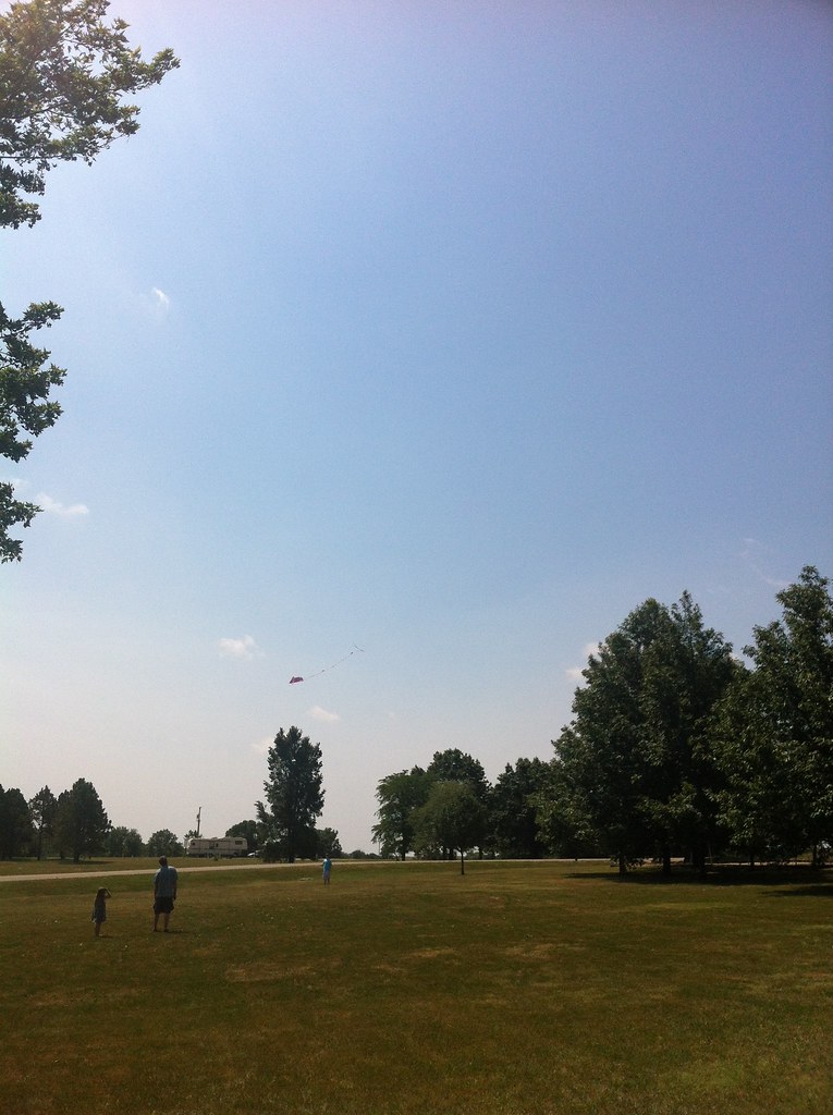
Camera Roll-3086

The Hermit's cave
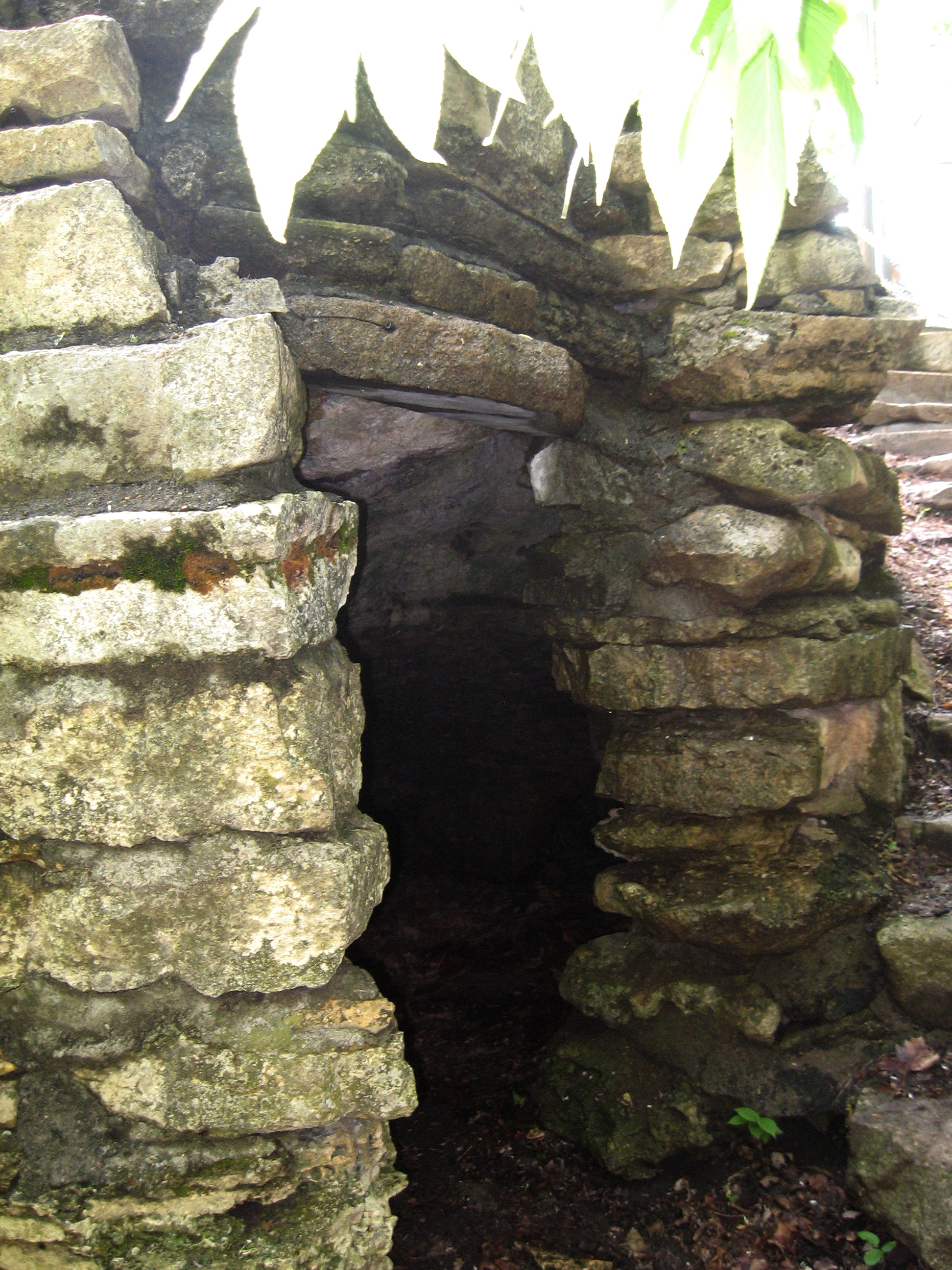
Hermit's Cave
Camera Roll-3087
Council Grove tour
Topographic Map of Morris County, KS, USA
Find elevation by address:

Places in Morris County, KS, USA:
Places near Morris County, KS, USA:
Olive-Parkerville St, White City, KS, USA
White City
5, KS, USA
Bb Ave, Burdick, KS, USA
Council Grove
W Main St, Council Grove, KS, USA
Dollar General
8, KS, USA
Burdick
Herington
17 E Main St, Herington, KS, USA
Lyon
4 E Railway Ave, Woodbine, KS, USA
Woodbine
Riffle Rd, Junction City, KS, USA
Bird Runner Wildlife Refuge
Geary County
649 Trail Rd
Lyon
Liberty
Recent Searches:
- Elevation of Spaceport America, Co Rd A, Truth or Consequences, NM, USA
- Elevation of Warwick, RI, USA
- Elevation of Fern Rd, Whitmore, CA, USA
- Elevation of 62 Abbey St, Marshfield, MA, USA
- Elevation of Fernwood, Bradenton, FL, USA
- Elevation of Felindre, Swansea SA5 7LU, UK
- Elevation of Leyte Industrial Development Estate, Isabel, Leyte, Philippines
- Elevation of W Granada St, Tampa, FL, USA
- Elevation of Pykes Down, Ivybridge PL21 0BY, UK
- Elevation of Jalan Senandin, Lutong, Miri, Sarawak, Malaysia