Elevation of Morning Glory St, Show Low, AZ, USA
Location: United States > Arizona > Navajo County > Show Low >
Longitude: -110.29420
Latitude: 34.36137
Elevation: 1921m / 6302feet
Barometric Pressure: 80KPa
Elevation Map:
Satellite Map:
Related Photos:
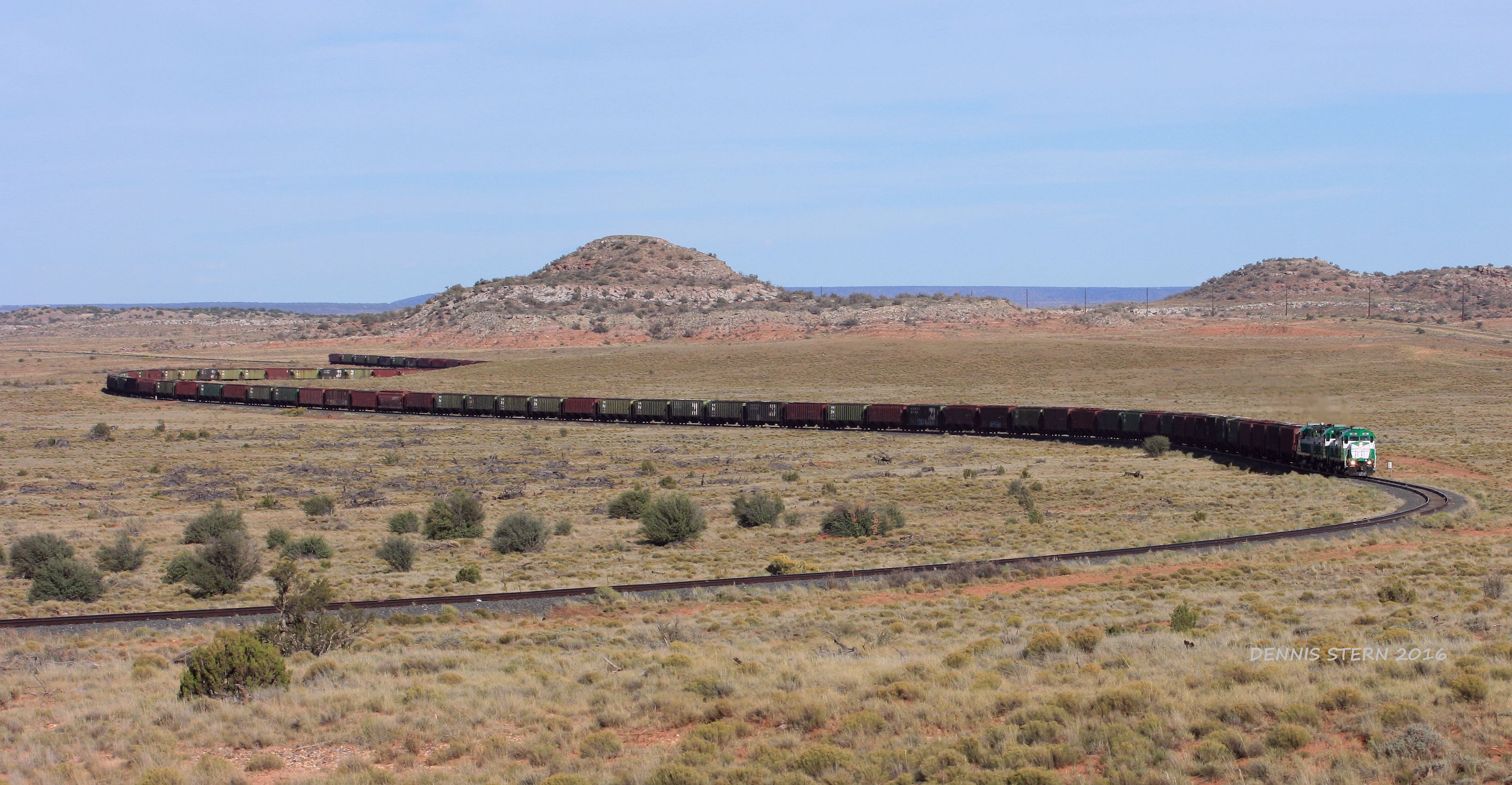
13 Years Later

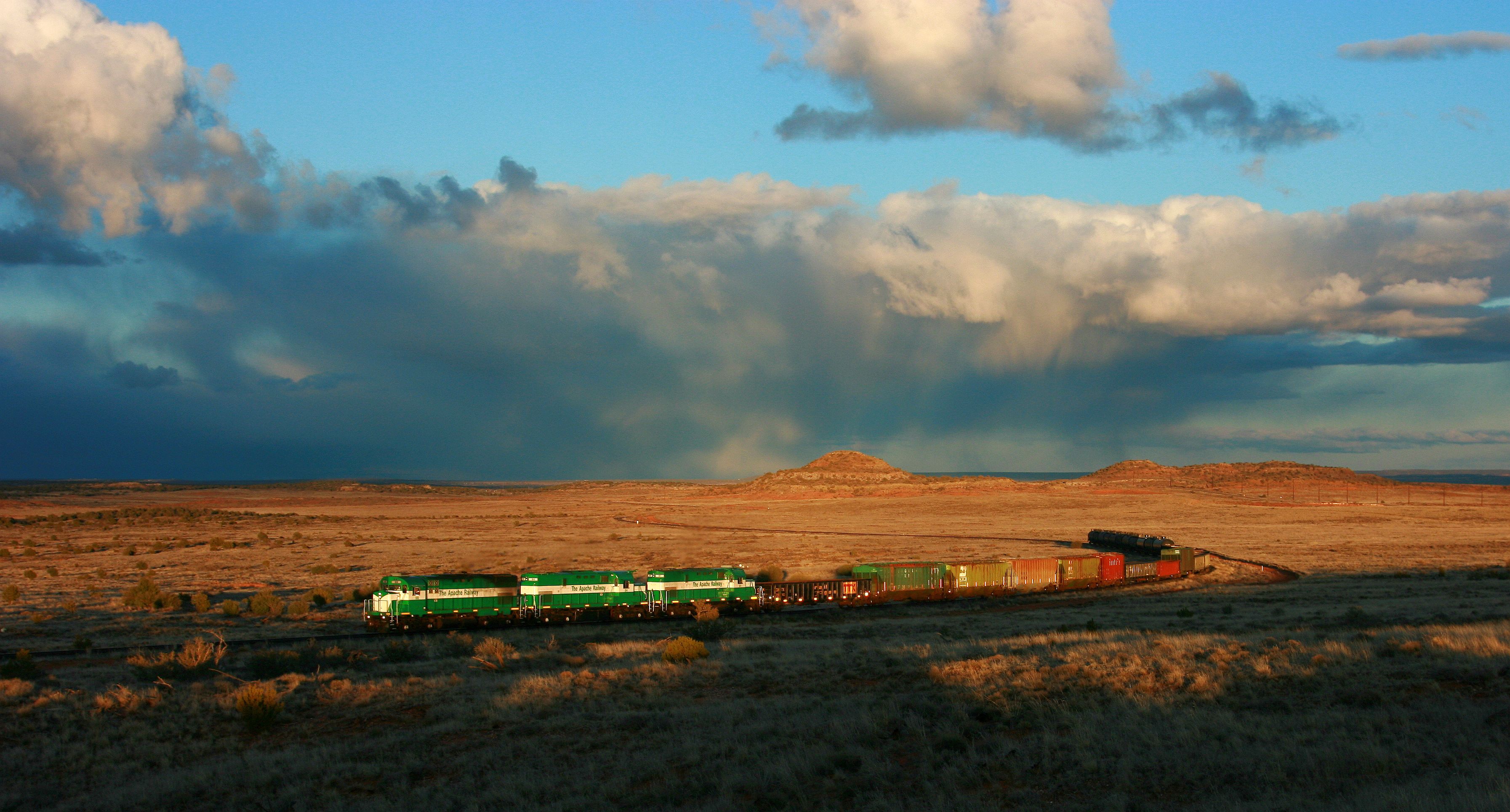
APA 99, SB, MP34, SNOWFLAKE, AZ 10-3-16
APA 99, SB, SNOWFLAKE, AZ. 10-3-16

Sunset, Linden Arizona
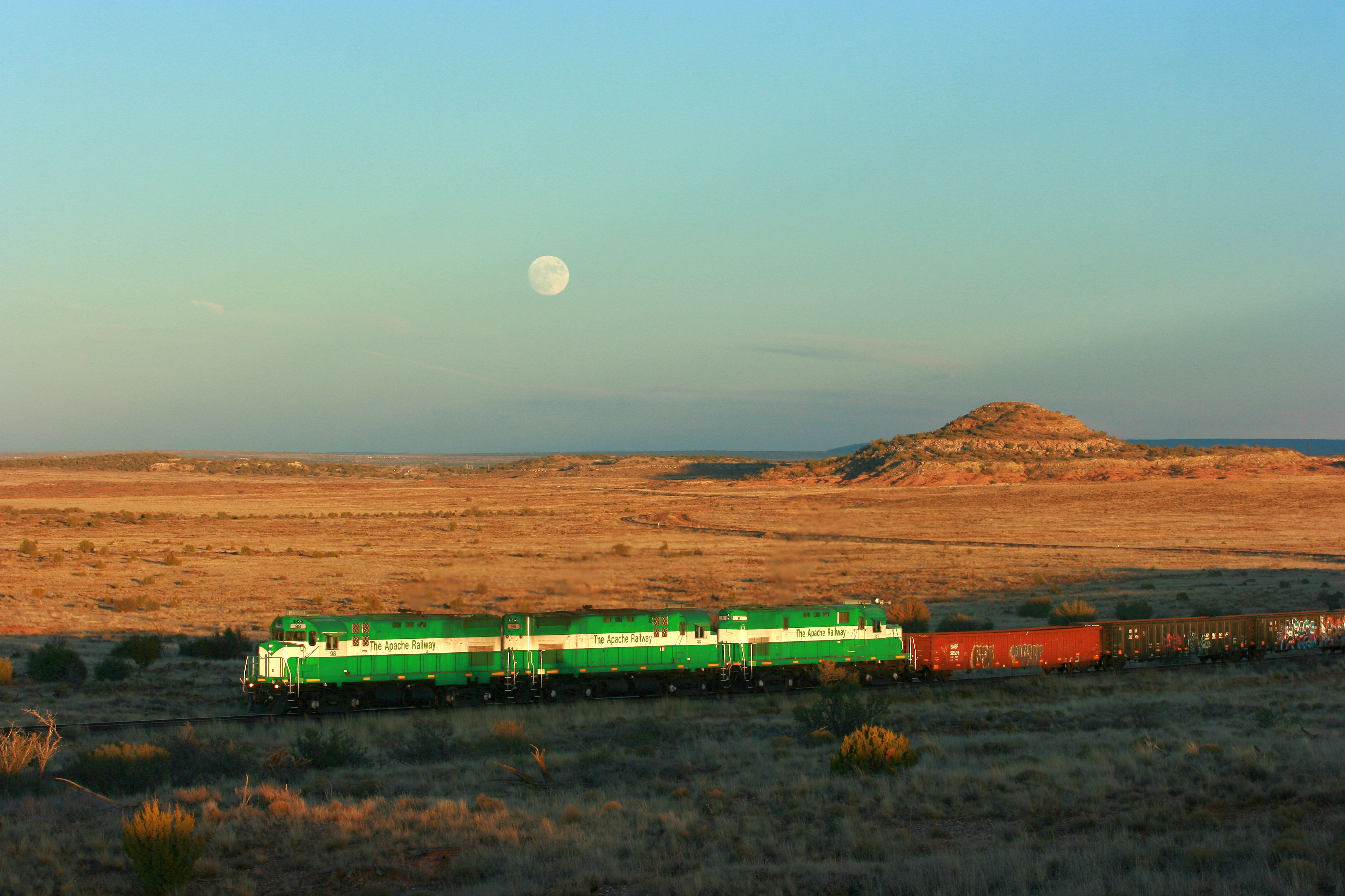
APA 98, SB, SNOWFLAKE, AZ 11-24-15
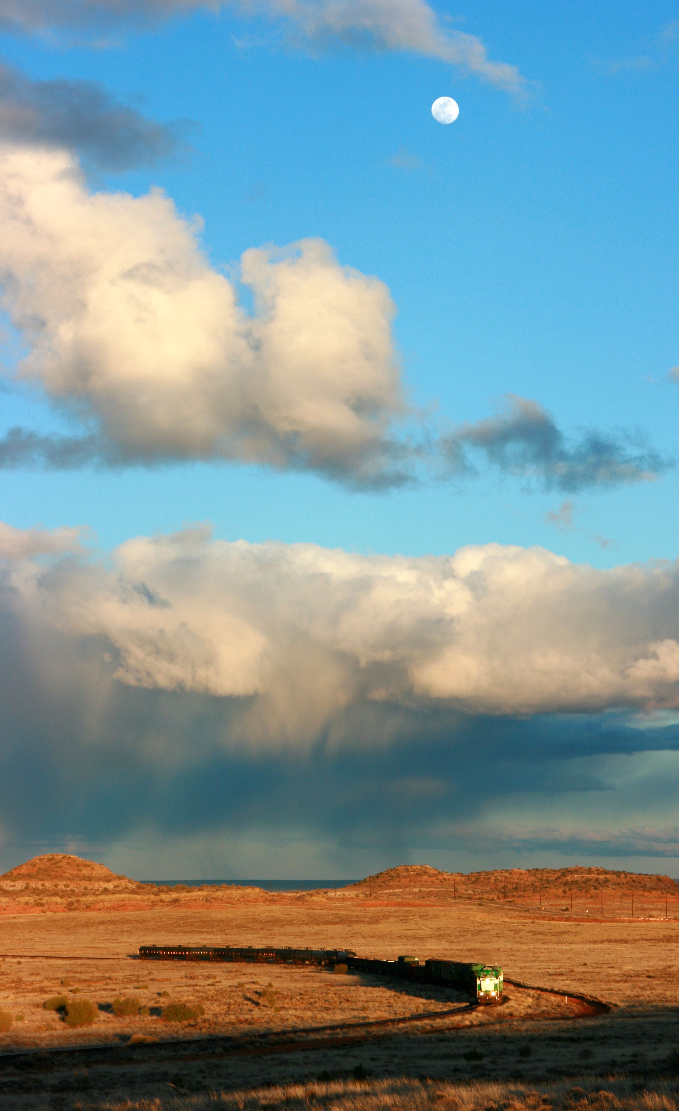
APA 99, SB, MP 34, SNOWFLAKE, AZ. 3-3-15
APA 99, SB, MP 34, SNOWFLAKE, AZ 3-3-15

Linden Pines

Linden Pines

Linden Pines

Cobble Creek
Topographic Map of Morning Glory St, Show Low, AZ, USA
Find elevation by address:

Places near Morning Glory St, Show Low, AZ, USA:
1502 Cardinal Ln
Colony Ave, Show Low, AZ, USA
6314 Az-260
Newlife Forest Products, Llc
6289 Apache Trail
AZ-, Show Low, AZ, USA
6665 Ryan Ln
6668 Cherry Blossom Ln
898 Mountain Trail
6696 Circle C Ln
Show Low, AZ, USA
775 Club Straight Ln
6995 Jacks Wild Rd
6995 Jacks Wild Rd
Brown Ln, Show Low, AZ, USA
Shumway Rd, Show Low, AZ, USA
Shumway
90 W Country Club Dr
Taylor
19 Center St, Snowflake, AZ, USA
Recent Searches:
- Elevation of Rojo Ct, Atascadero, CA, USA
- Elevation of Flagstaff Drive, Flagstaff Dr, North Carolina, USA
- Elevation of Avery Ln, Lakeland, FL, USA
- Elevation of Woolwine, VA, USA
- Elevation of Lumagwas Diversified Farmers Multi-Purpose Cooperative, Lumagwas, Adtuyon, RV32+MH7, Pangantucan, Bukidnon, Philippines
- Elevation of Homestead Ridge, New Braunfels, TX, USA
- Elevation of Orchard Road, Orchard Rd, Marlborough, NY, USA
- Elevation of 12 Hutchinson Woods Dr, Fletcher, NC, USA
- Elevation of Holloway Ave, San Francisco, CA, USA
- Elevation of Norfolk, NY, USA