Elevation of Morgan, UT, USA
Location: United States > Utah > Morgan County >
Longitude: -111.6768769
Latitude: 41.036056
Elevation: 1546m / 5072feet
Barometric Pressure: 0KPa
Related Photos:
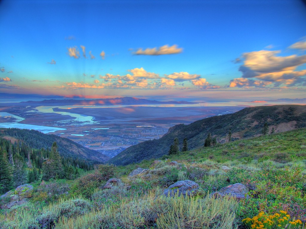
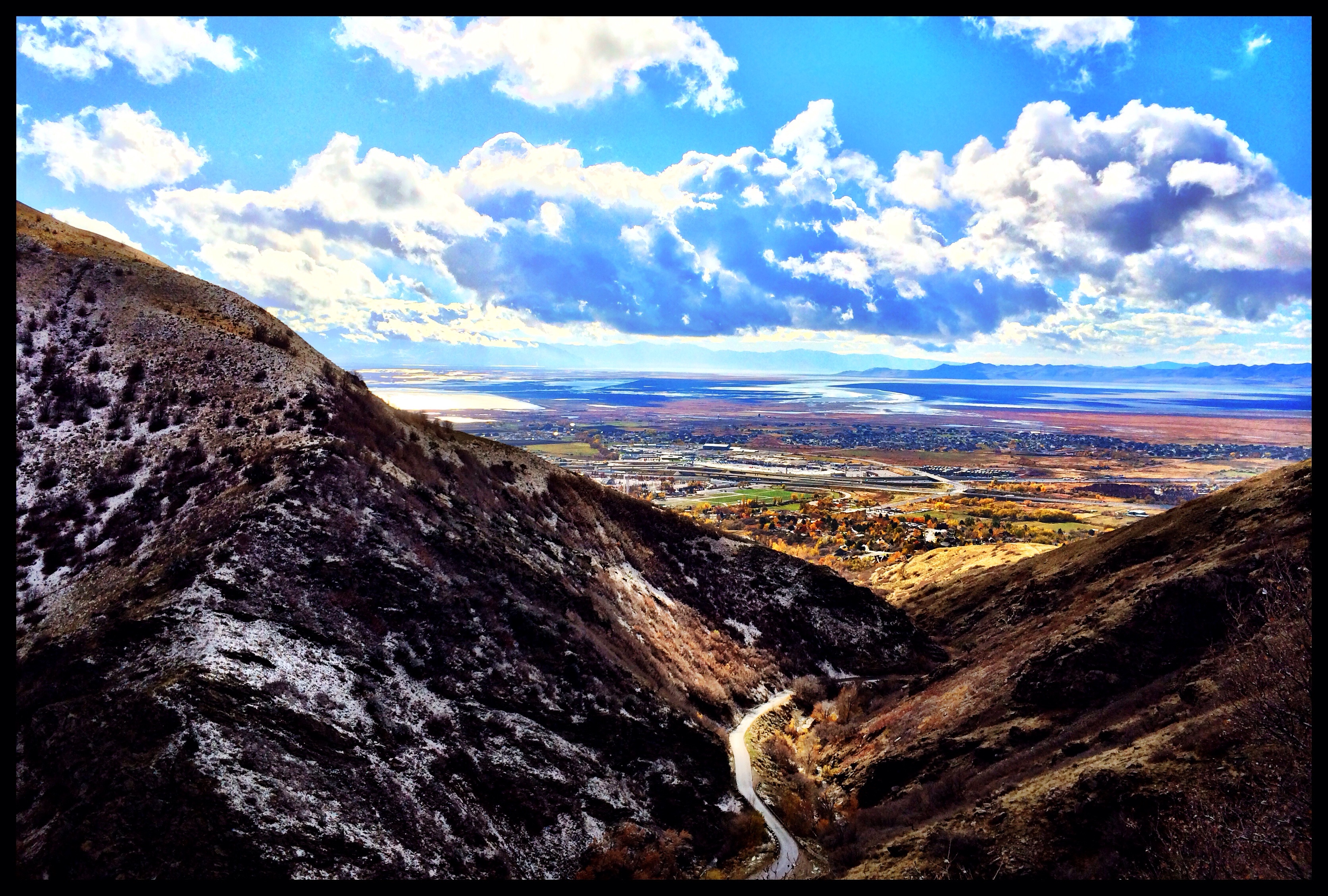
Great Salt Lake Morning View

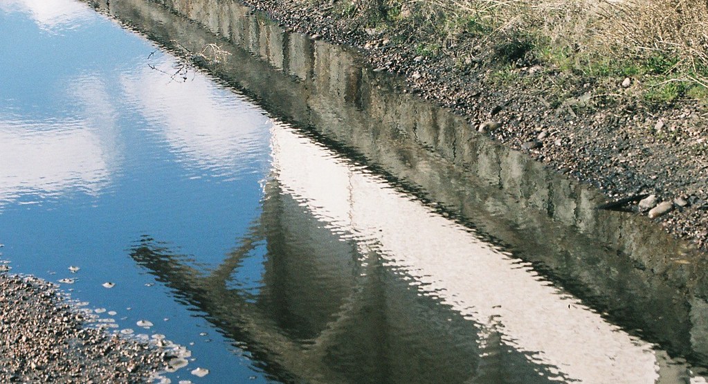
puddle art
West on I-80 #3
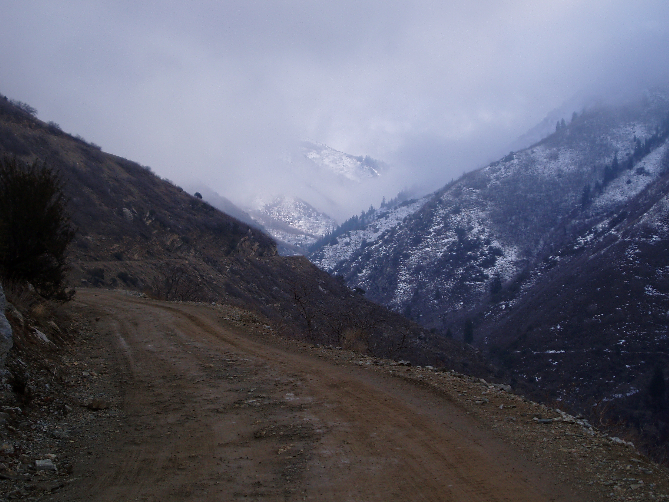
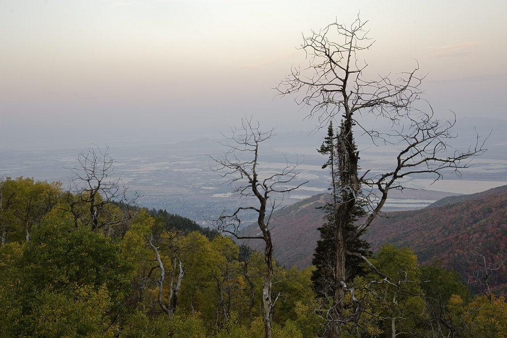
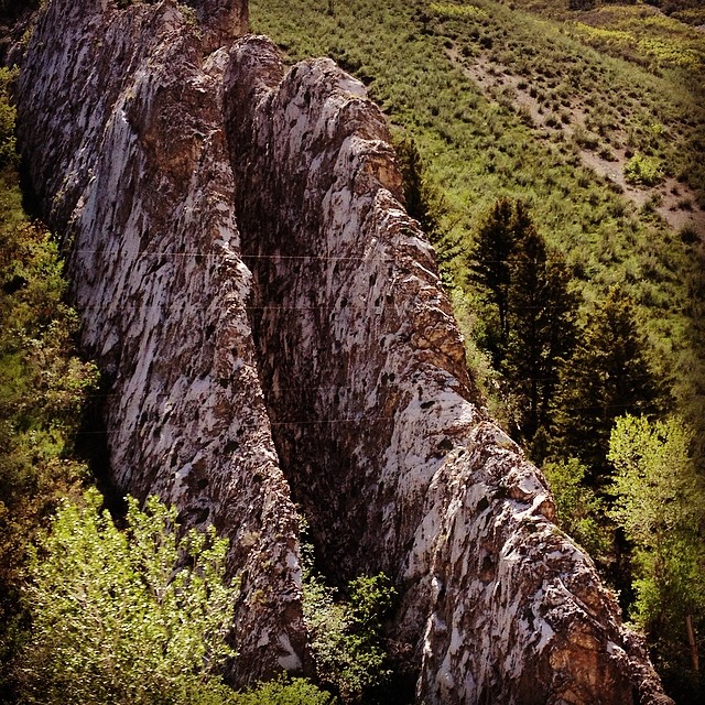
The View Up Canyon
Morning View

071107 Utah Sunset-01.jpg

puddle art
near Bountiful Peak Summer Home Area, UT, United States
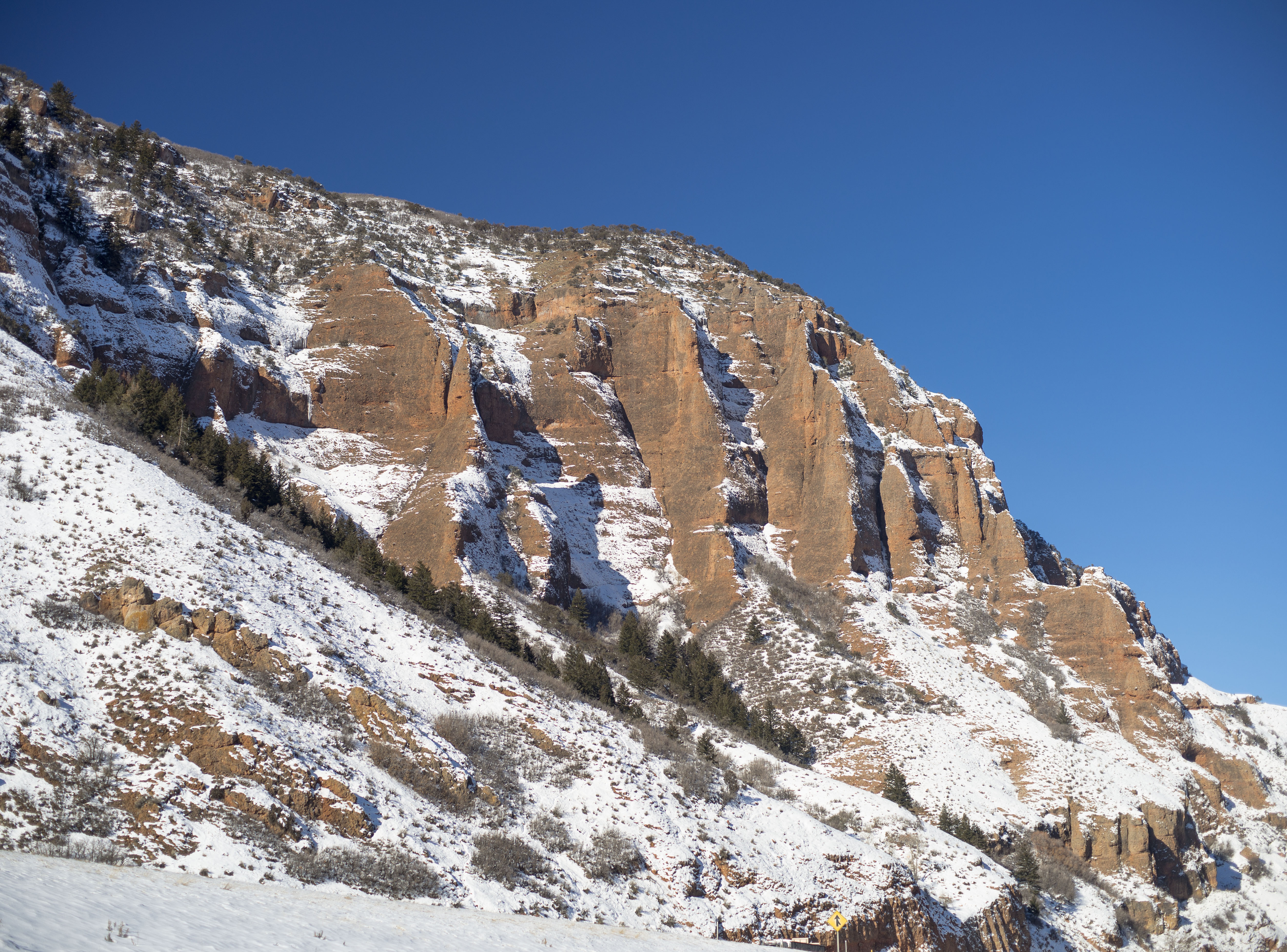
Devils Slide, Interstate 84 Near Henefer, Utah
see up from the down view
Devils Slide, Interstate 84 Near Henefer, Utah
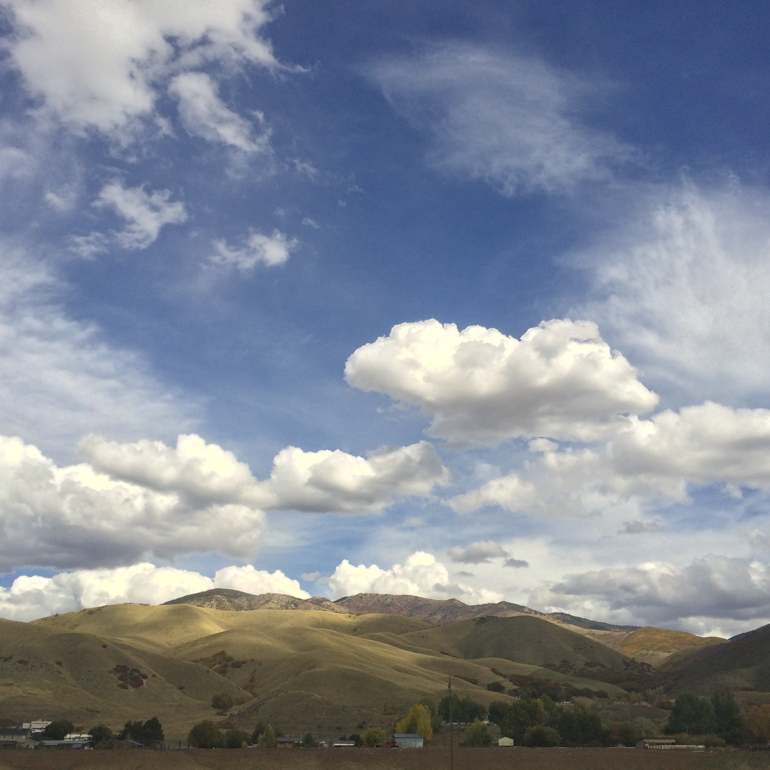
my view this morning
Devils Slide, Utah
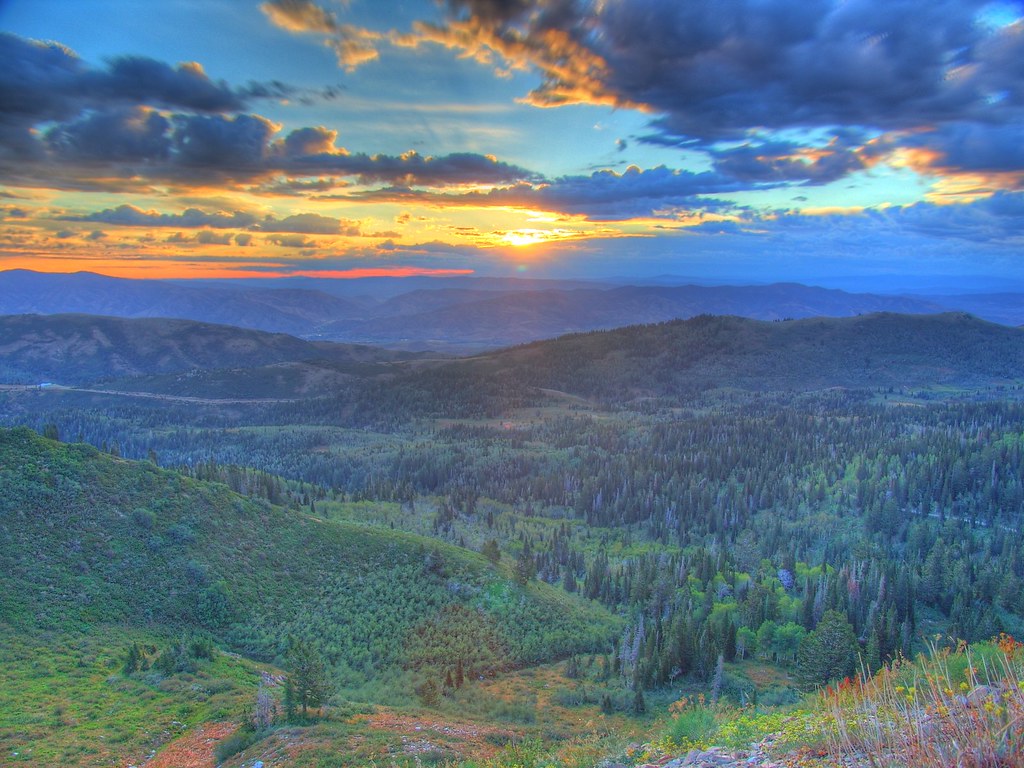
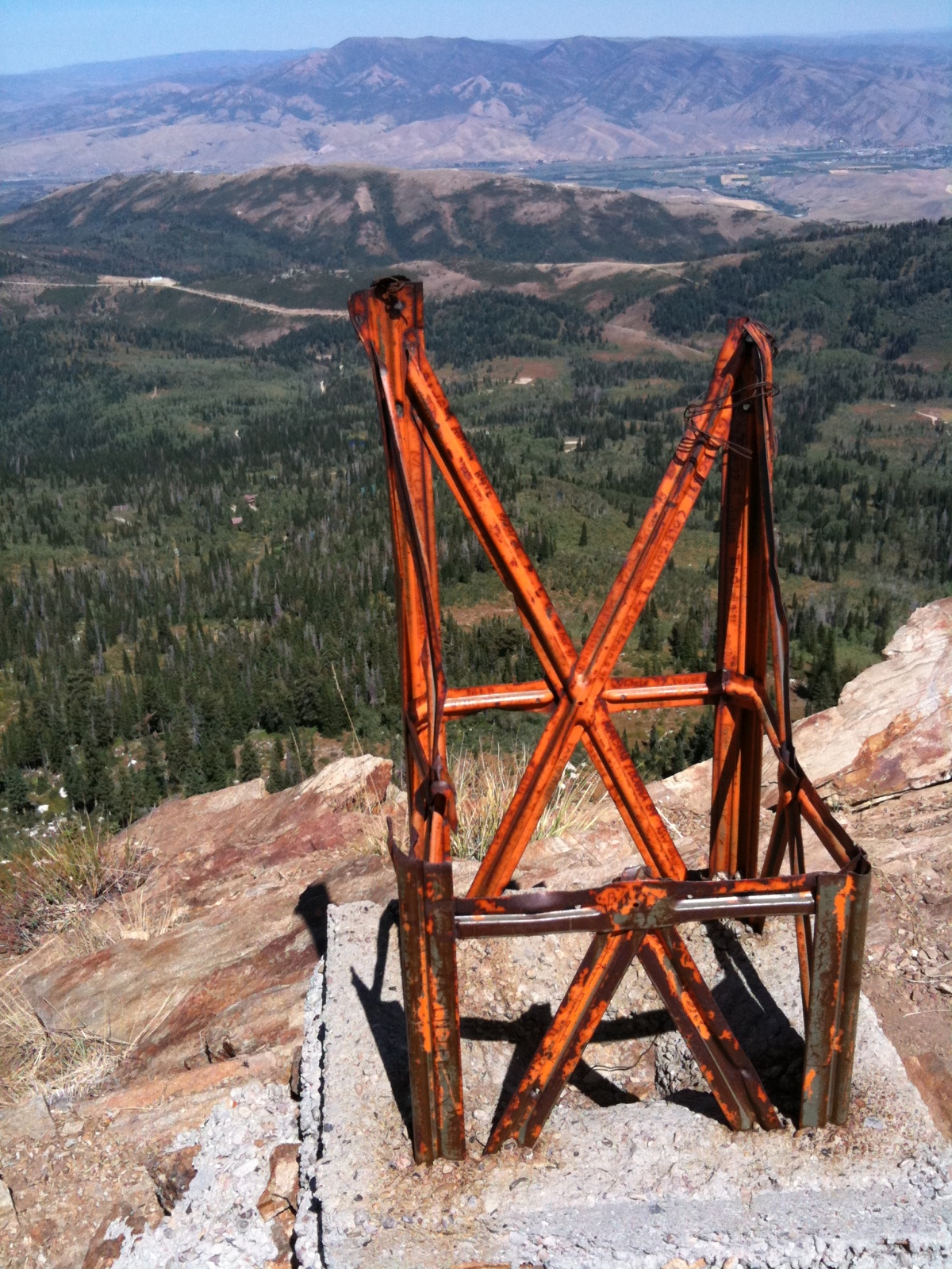
Skyline Vista
Cabin Sunrise
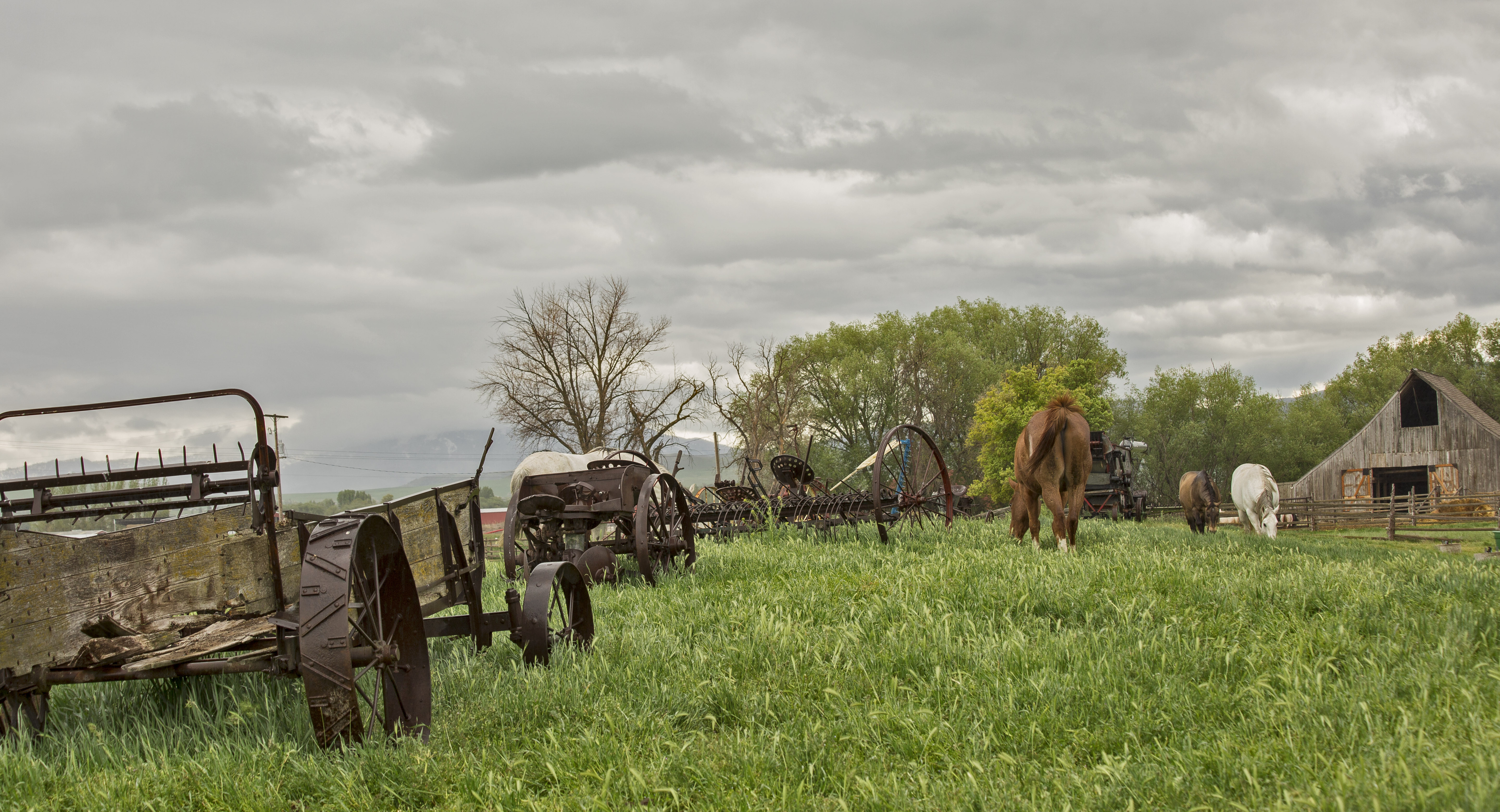
Peaceful Pastures

Divine Sky
The Great Salt Lake
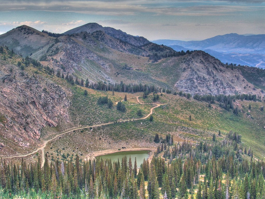
Beaver Ponds on the back side of Francis peak HDR
The West

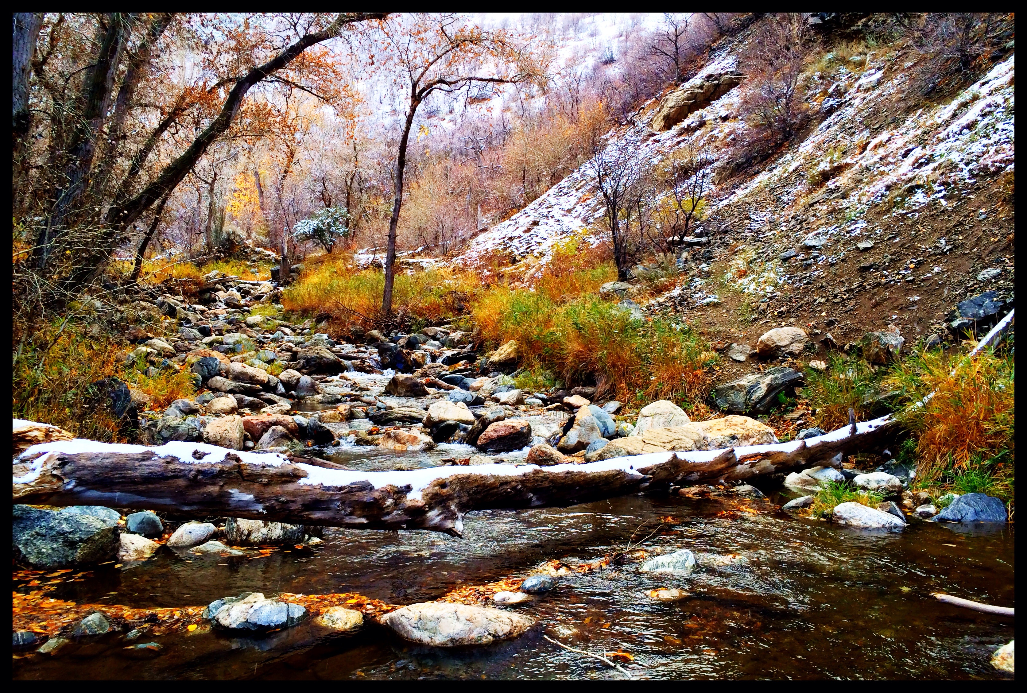
Fishing in Morgan.
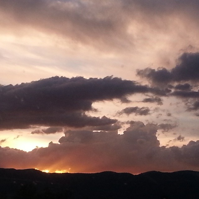
#sunsetview #Utah #Utahgram #beautiful #iloveutah @utahsunset
#devilsslide #DriveBySnapshot #utahgram #Utah #FavoritePlaces #landmarks #801 #ILoveUTAH
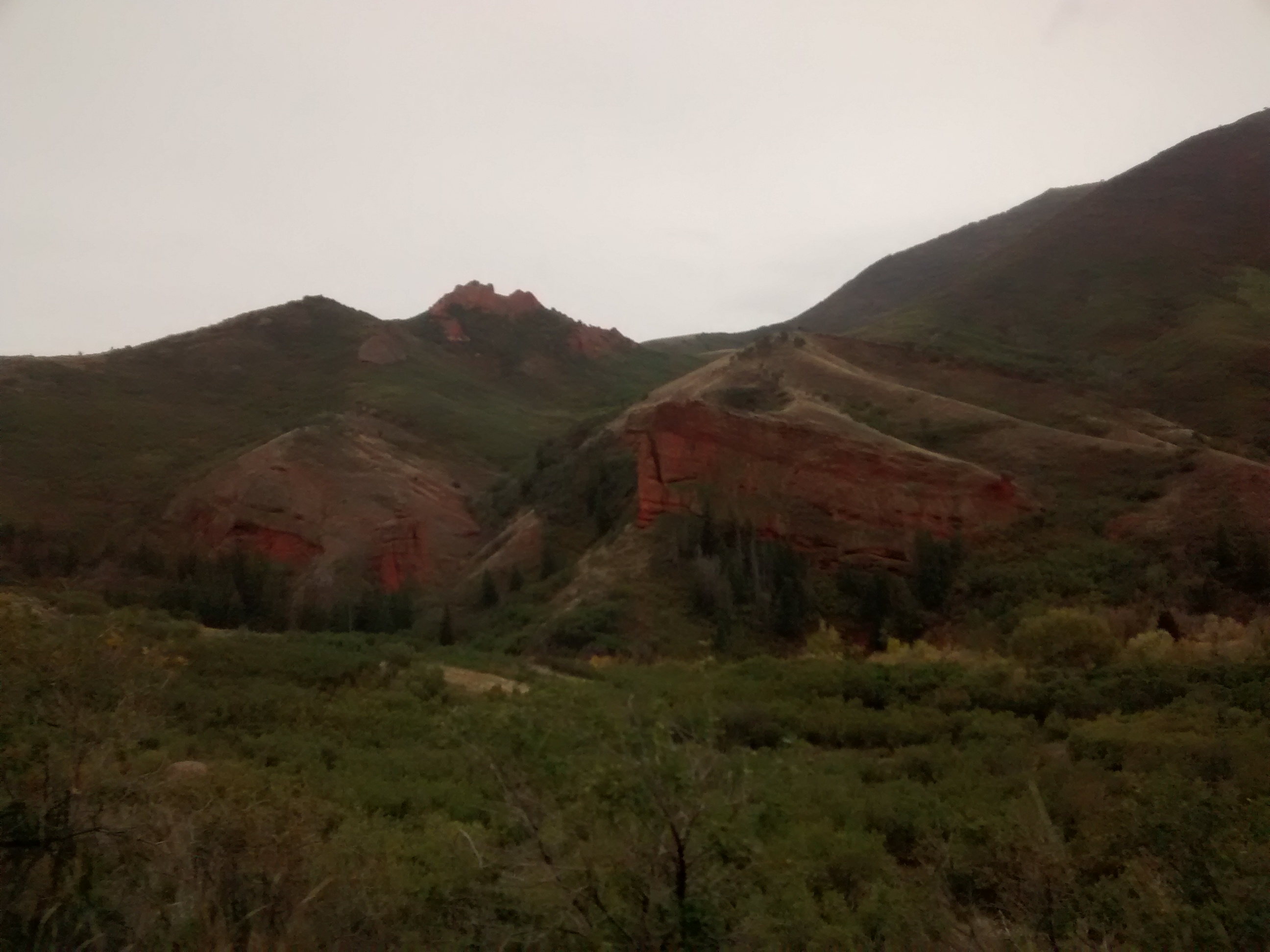
Some scenic scenery. It was nice to go on this trip.
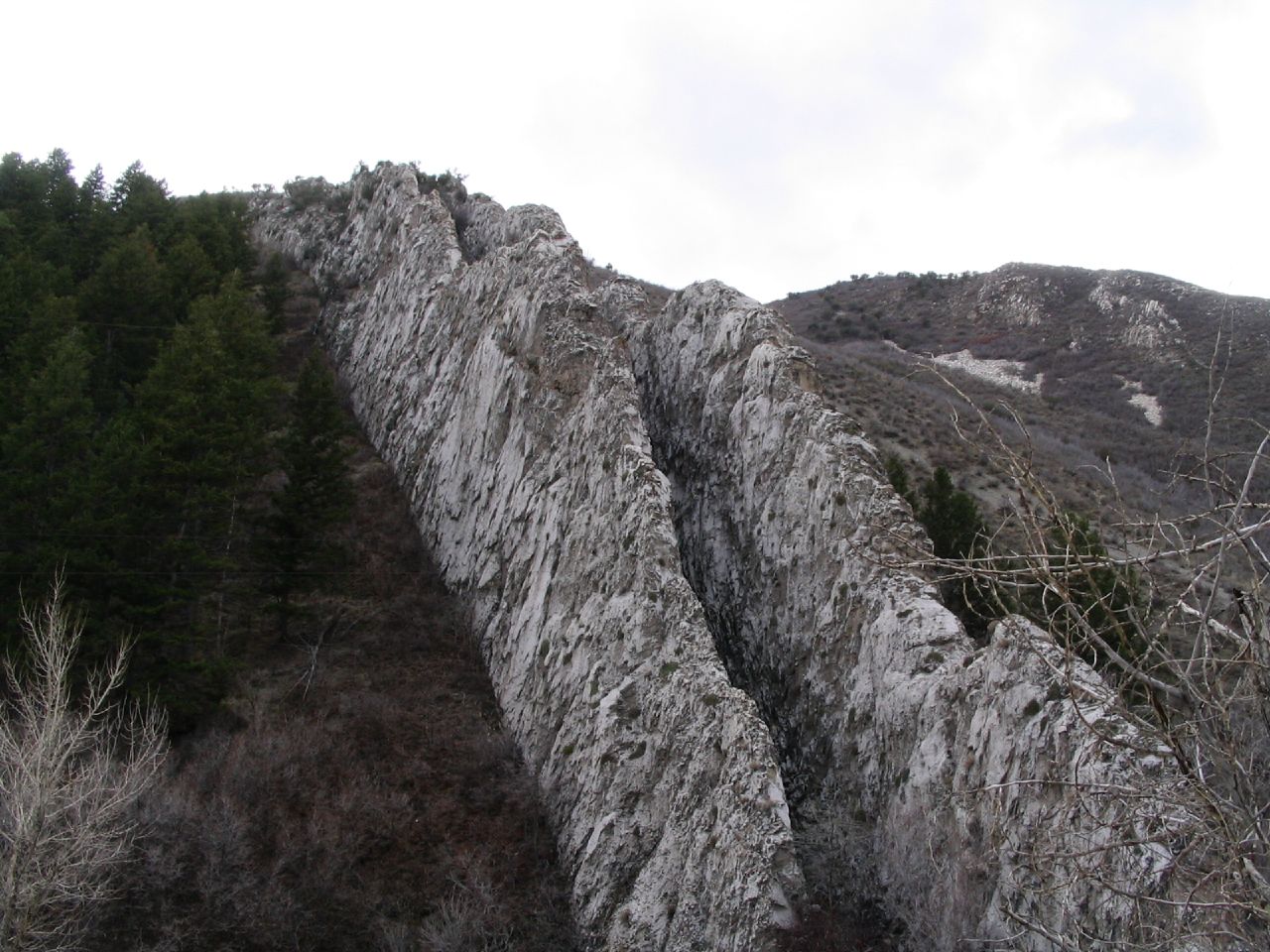
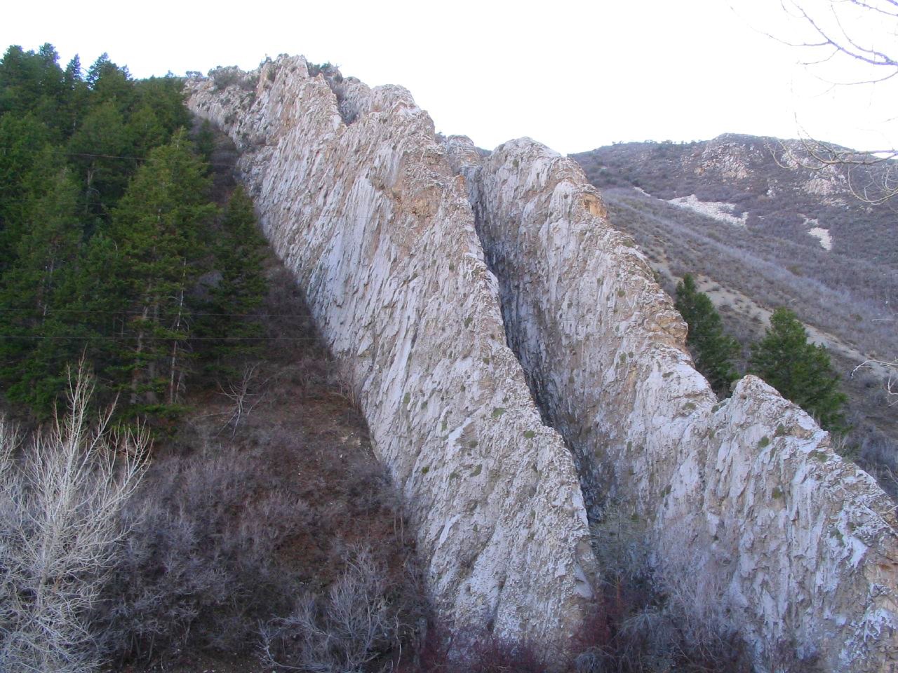
Farmington Canyon
Farmington Canyon
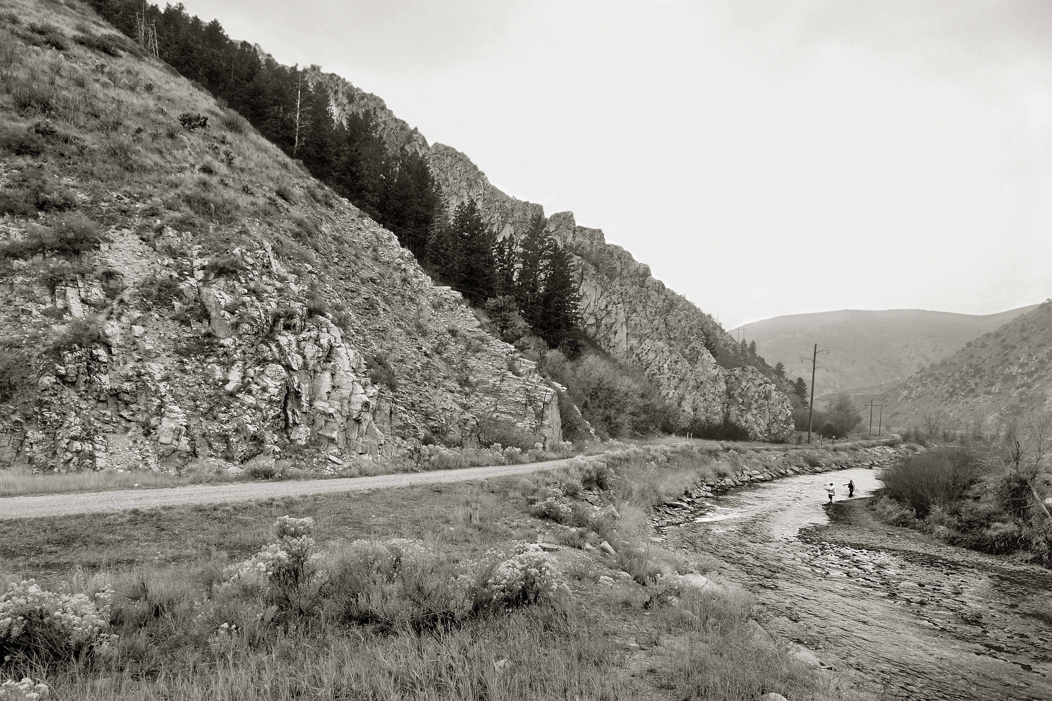
Weber River At Devil's Slide. Morgan County, Utah
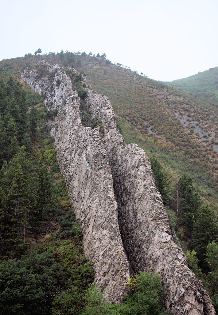
Devil's Slide

Rainbow Cloud

Devil's Slide
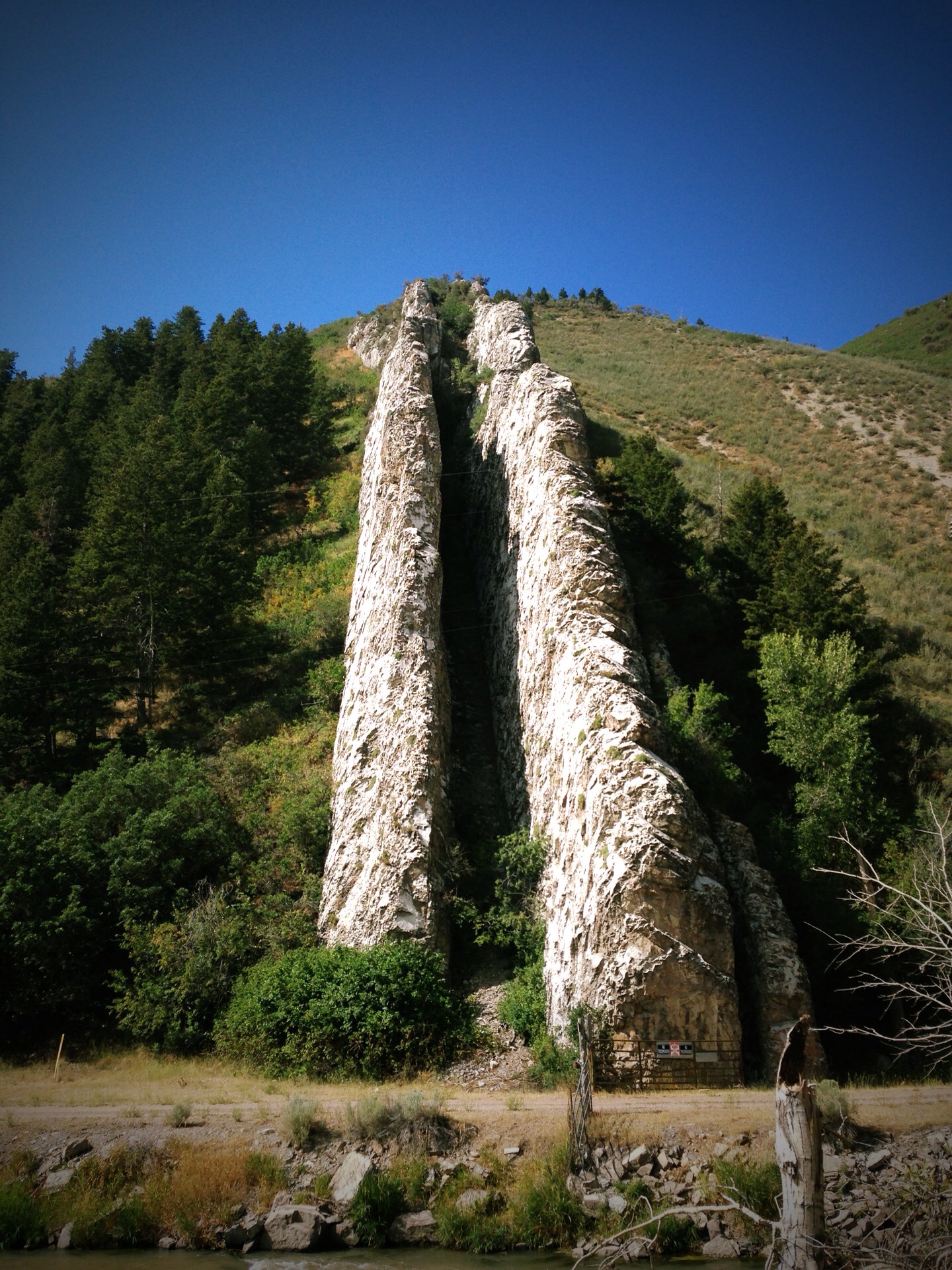
Devil's Slide

Grinding up to Wahsatch.

The Slide
Topographic Map of Morgan, UT, USA
Find elevation by address:

Places in Morgan, UT, USA:
2600 W Old Hwy Rd
W Old Hwy Rd, Morgan, UT, USA
Spring St, Morgan, UT, USA
W, Morgan, UT, USA
5797 Robinson Ln
5797 Robinson Ln
5859 Cottonwood Canyon Rd
5797 Robinson Ln
Hogback Summit
5857 Stampede Ln
6350 Gordon Creek Cir
W, Morgan, UT, USA
3277 Basin View Cir
Places near Morgan, UT, USA:
Spring St, Morgan, UT, USA
W Old Hwy Rd, Morgan, UT, USA
W, Morgan, UT, USA
Morgan County
W, Morgan, UT, USA
2600 W Old Hwy Rd
3277 Basin View Cir
5859 Cottonwood Canyon Rd
Hogback Summit
5857 Stampede Ln
6570 E 1900 N
Croydon
Henefer
6350 Gordon Creek Cir
5797 Robinson Ln
5797 Robinson Ln
5797 Robinson Ln
Farmington Pond
Farmington
Bella Vista Drive
Recent Searches:
- Elevation map of Greenland, Greenland
- Elevation of Sullivan Hill, New York, New York, 10002, USA
- Elevation of Morehead Road, Withrow Downs, Charlotte, Mecklenburg County, North Carolina, 28262, USA
- Elevation of 2800, Morehead Road, Withrow Downs, Charlotte, Mecklenburg County, North Carolina, 28262, USA
- Elevation of Yangbi Yi Autonomous County, Yunnan, China
- Elevation of Pingpo, Yangbi Yi Autonomous County, Yunnan, China
- Elevation of Mount Malong, Pingpo, Yangbi Yi Autonomous County, Yunnan, China
- Elevation map of Yongping County, Yunnan, China
- Elevation of North 8th Street, Palatka, Putnam County, Florida, 32177, USA
- Elevation of 107, Big Apple Road, East Palatka, Putnam County, Florida, 32131, USA
- Elevation of Jiezi, Chongzhou City, Sichuan, China
- Elevation of Chongzhou City, Sichuan, China
- Elevation of Huaiyuan, Chongzhou City, Sichuan, China
- Elevation of Qingxia, Chengdu, Sichuan, China
- Elevation of Corso Fratelli Cairoli, 35, Macerata MC, Italy
- Elevation of Tallevast Rd, Sarasota, FL, USA
- Elevation of 4th St E, Sonoma, CA, USA
- Elevation of Black Hollow Rd, Pennsdale, PA, USA
- Elevation of Oakland Ave, Williamsport, PA, USA
- Elevation of Pedrógão Grande, Portugal