Elevation of Moreau Township, MO, USA
Location: United States > Missouri > Cole County >
Longitude: -92.401112
Latitude: 38.523514
Elevation: 252m / 827feet
Barometric Pressure: 98KPa
Elevation Map:
Satellite Map:
Related Photos:

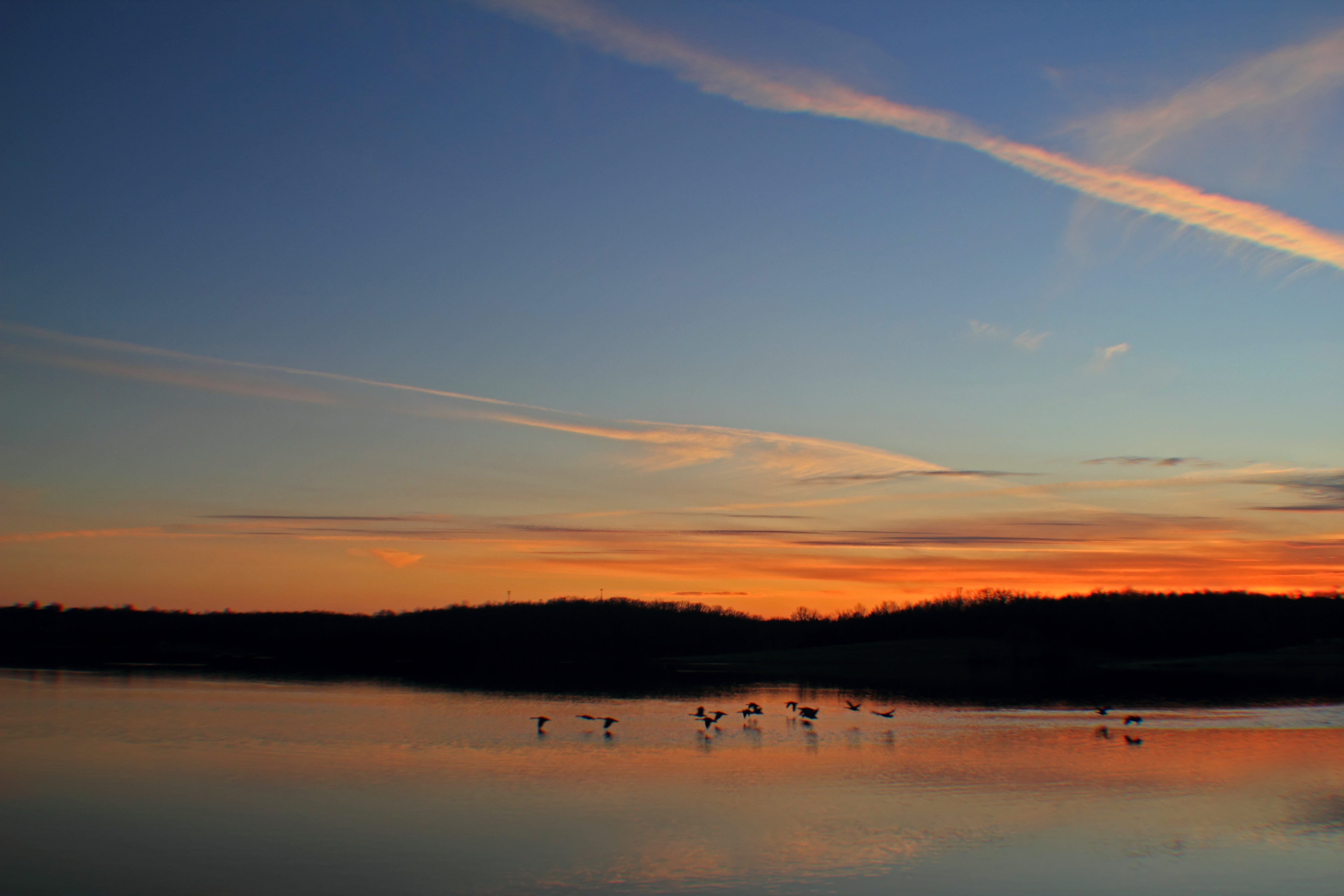
A Calm Spring Morning
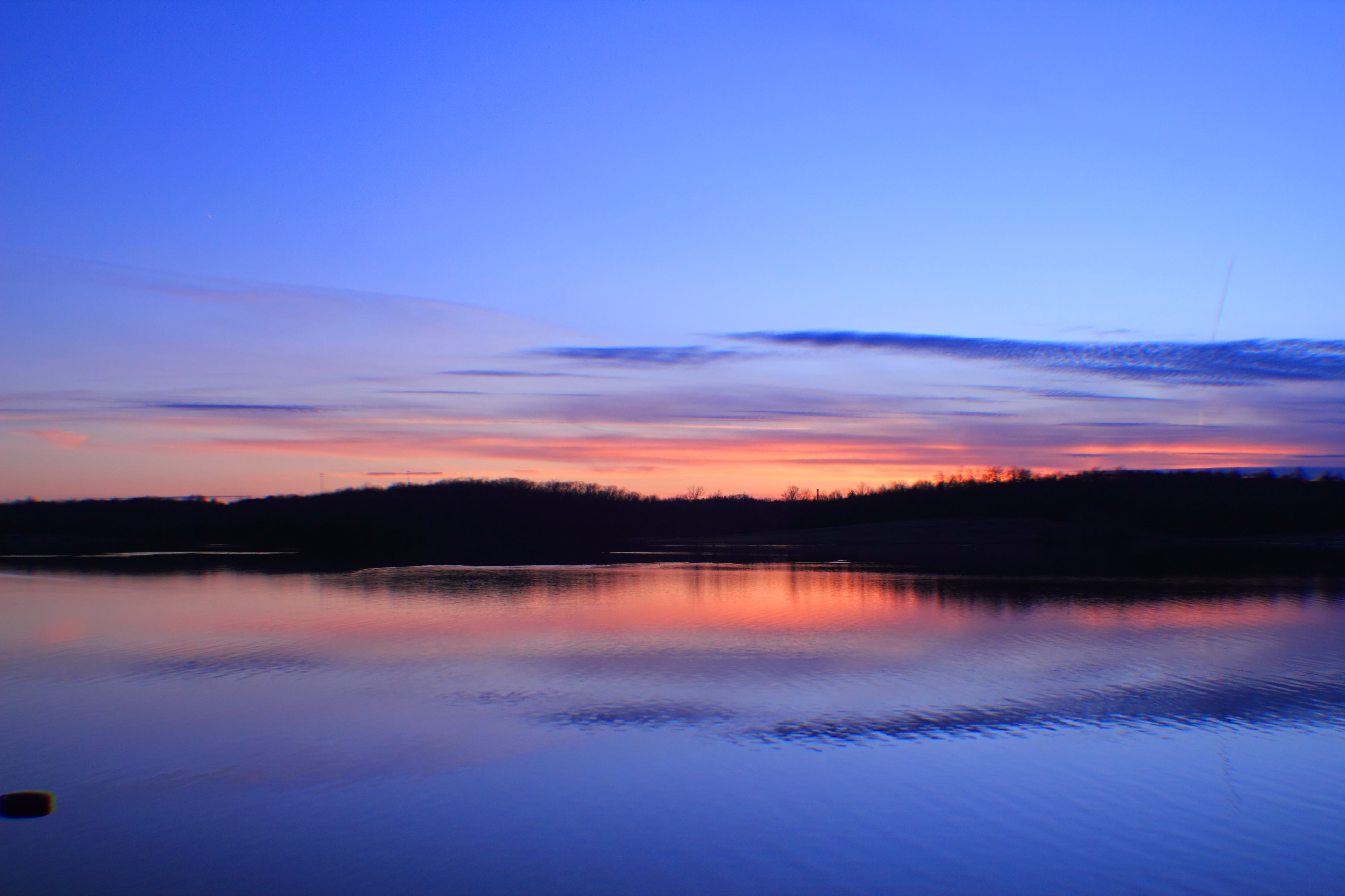
Binder Lake Sunset
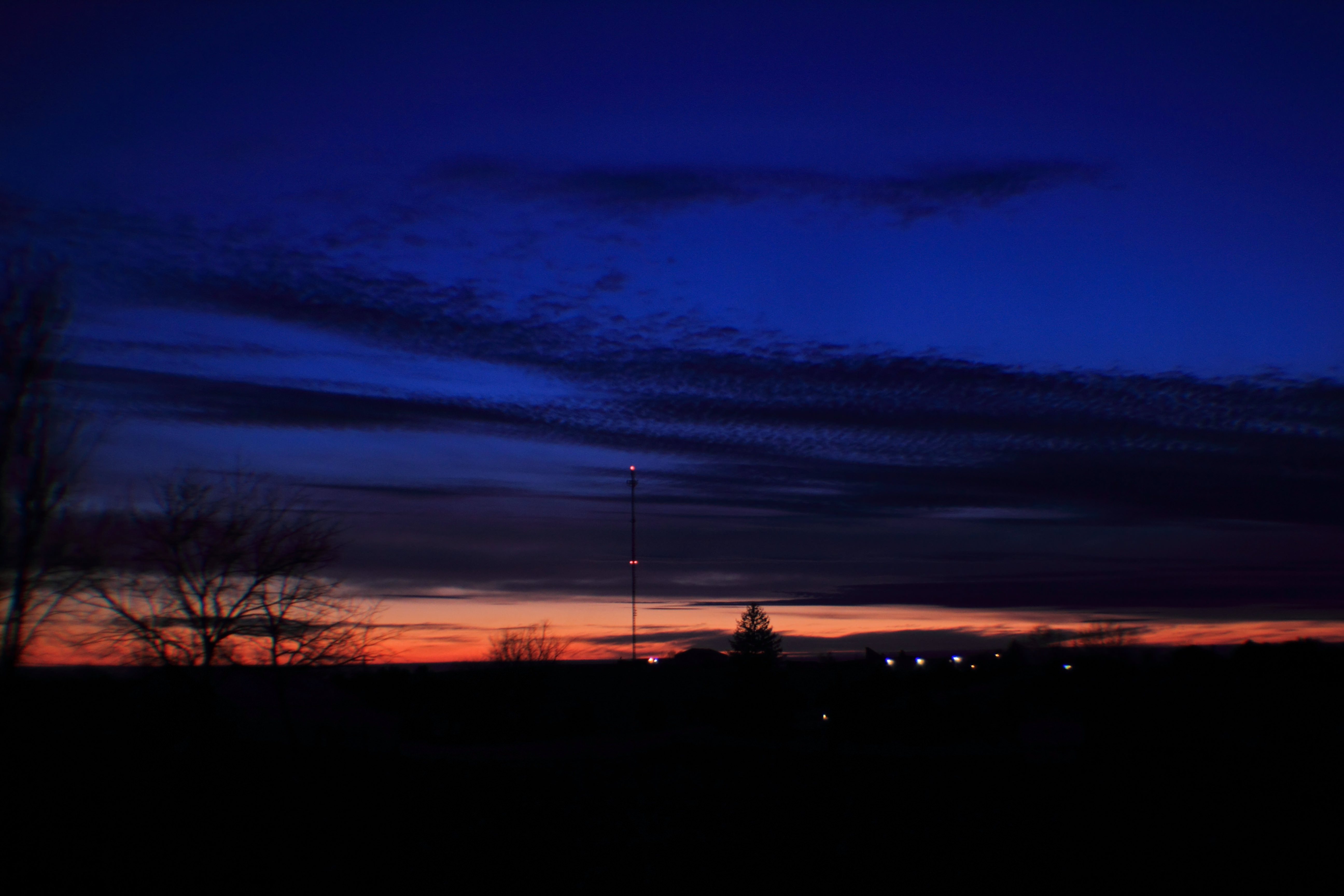
Frog Hollow Rd. Sunset
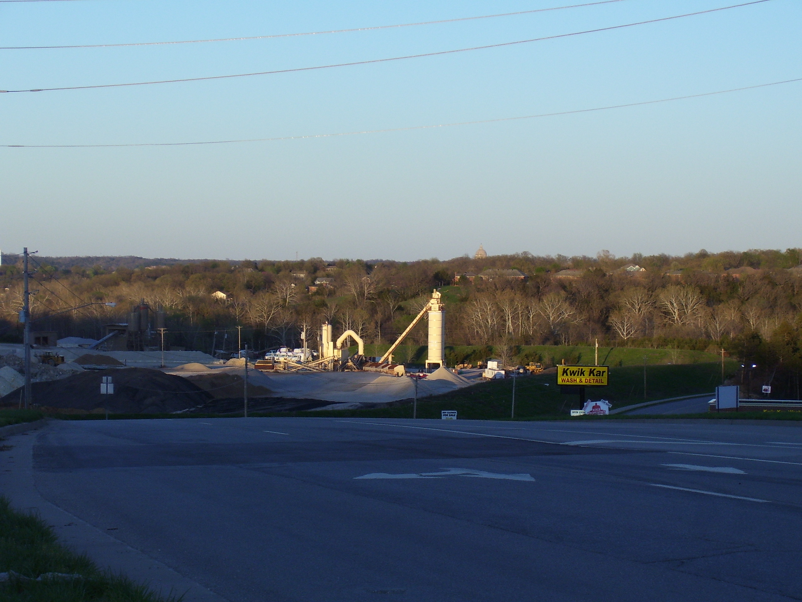
Quarry Machinery
Binder Lake Sunset

Binder Lake Sunset
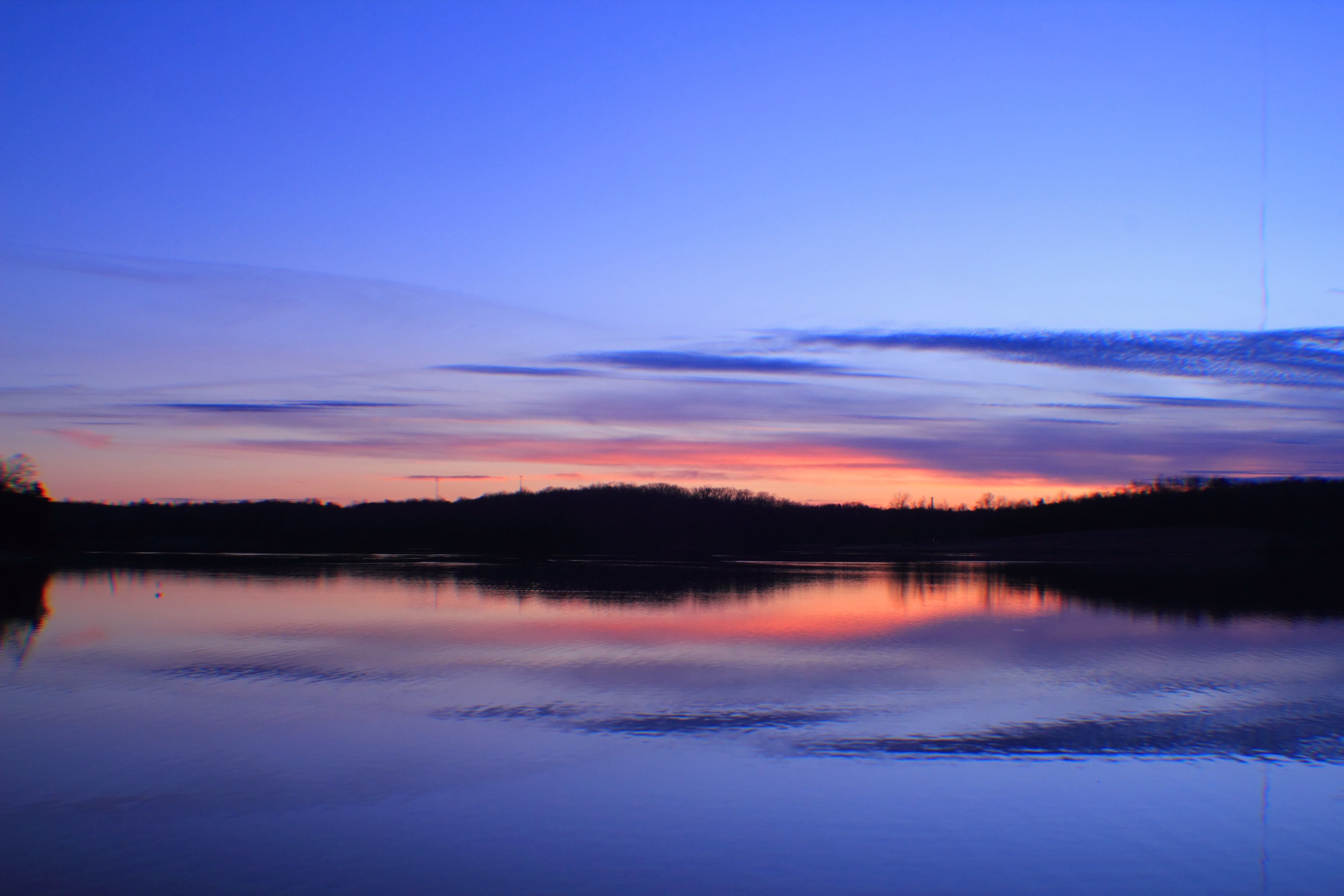
Binder Lake Sunset

Soaking the light

9-16-14 4

Partly Cloudy 9-28-10

Iridescent Clouds
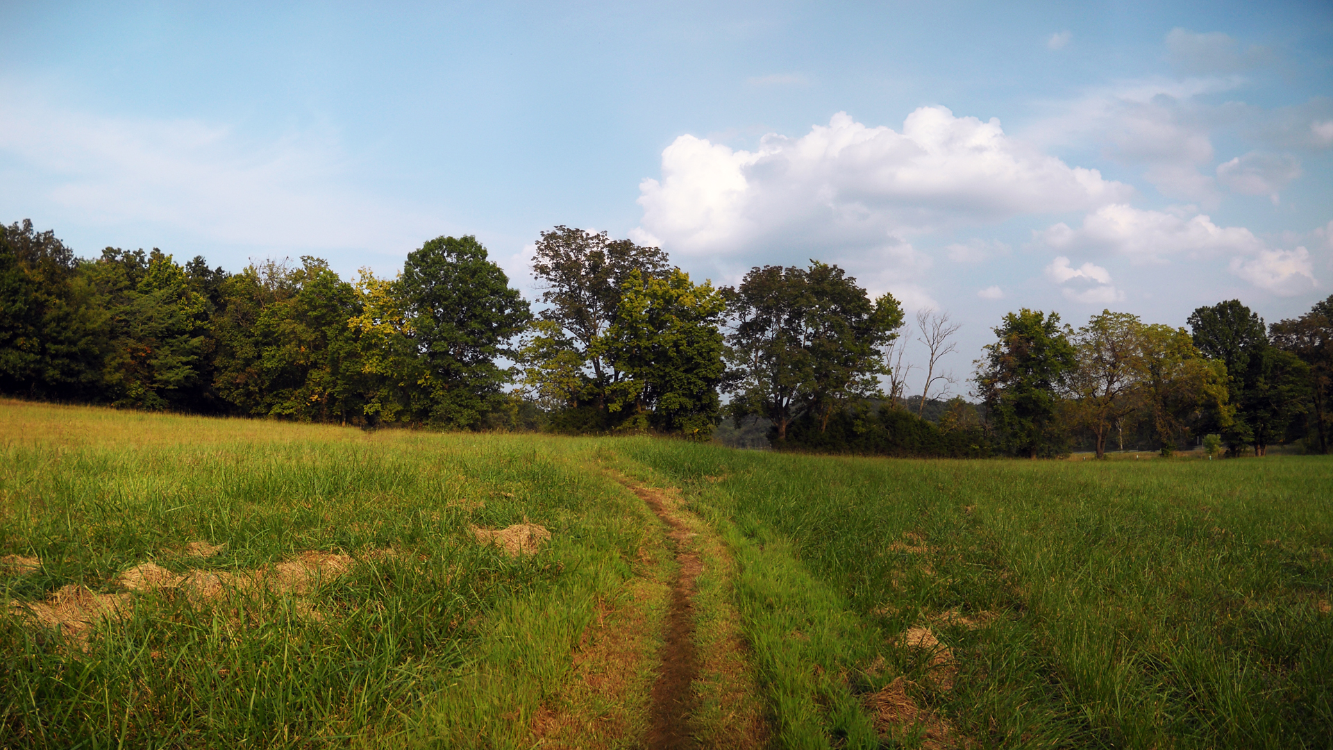
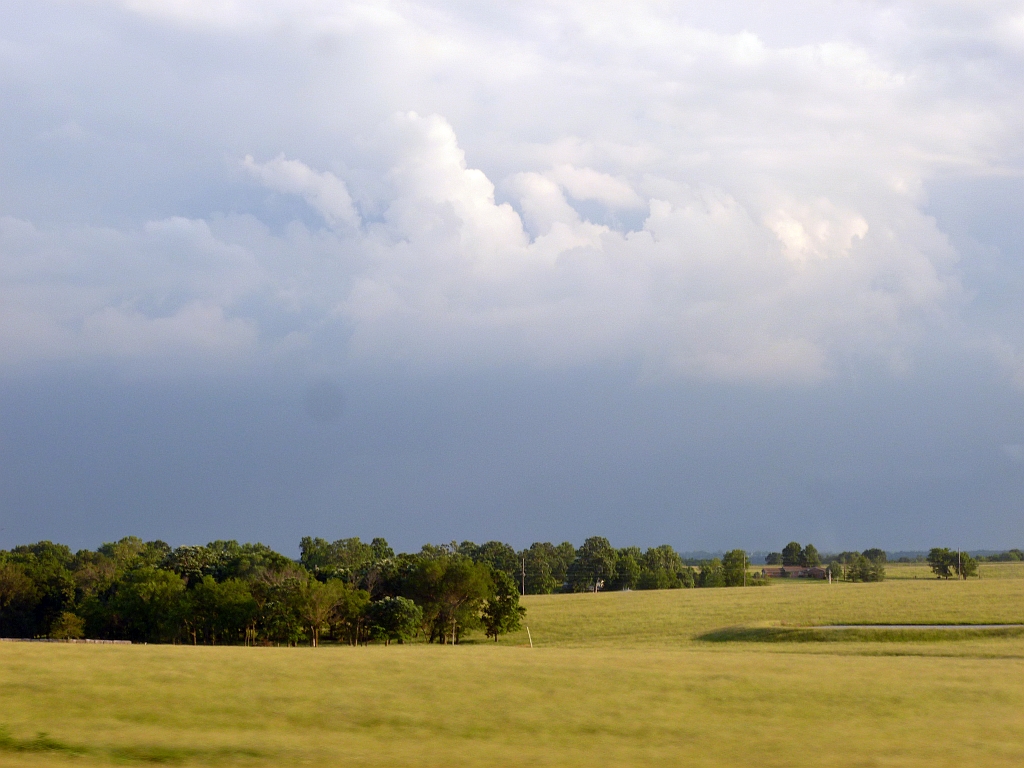
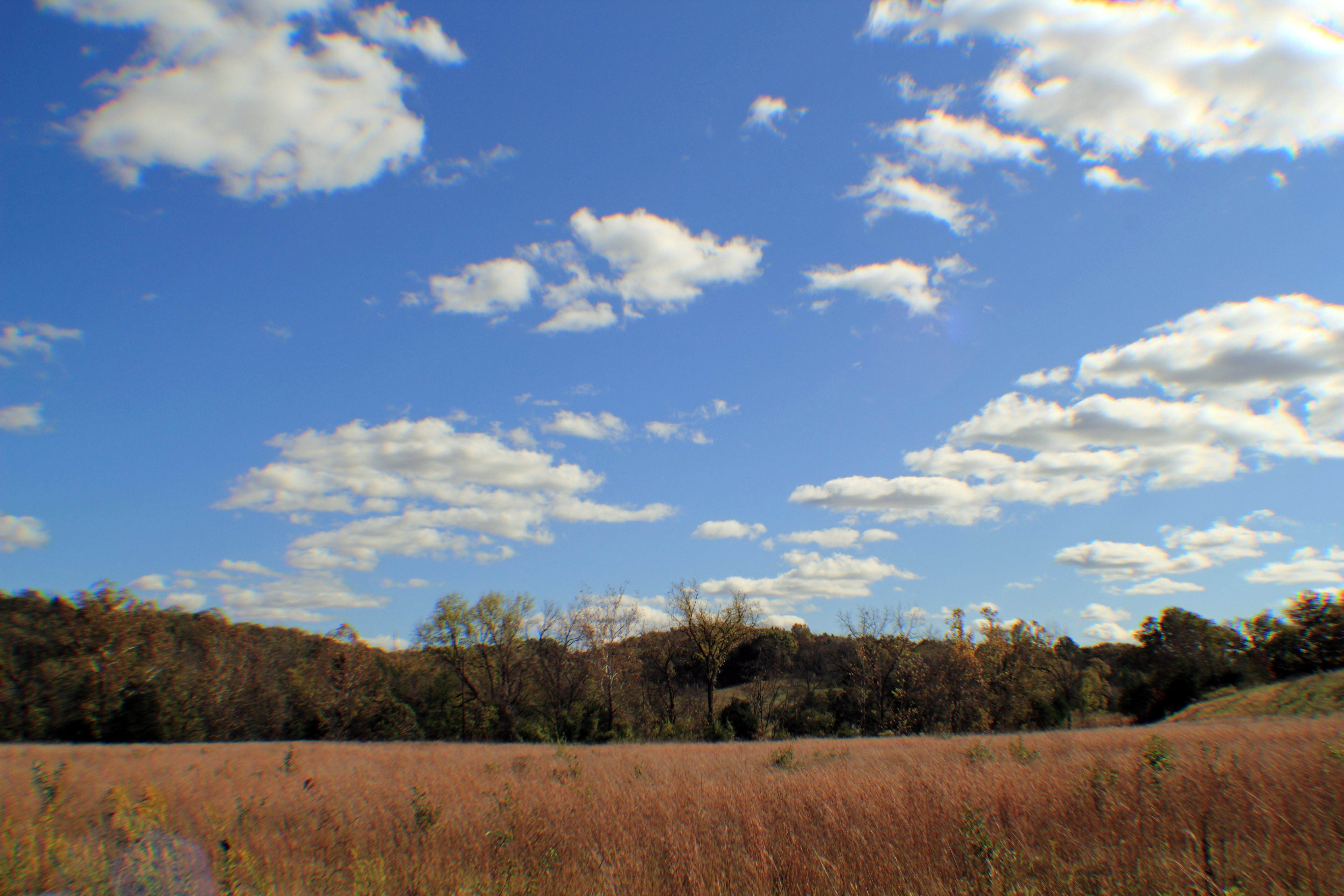
Binder Park Grasslands
Partly Cloudy 9-28-10

Partly Cloudy 9-28-10
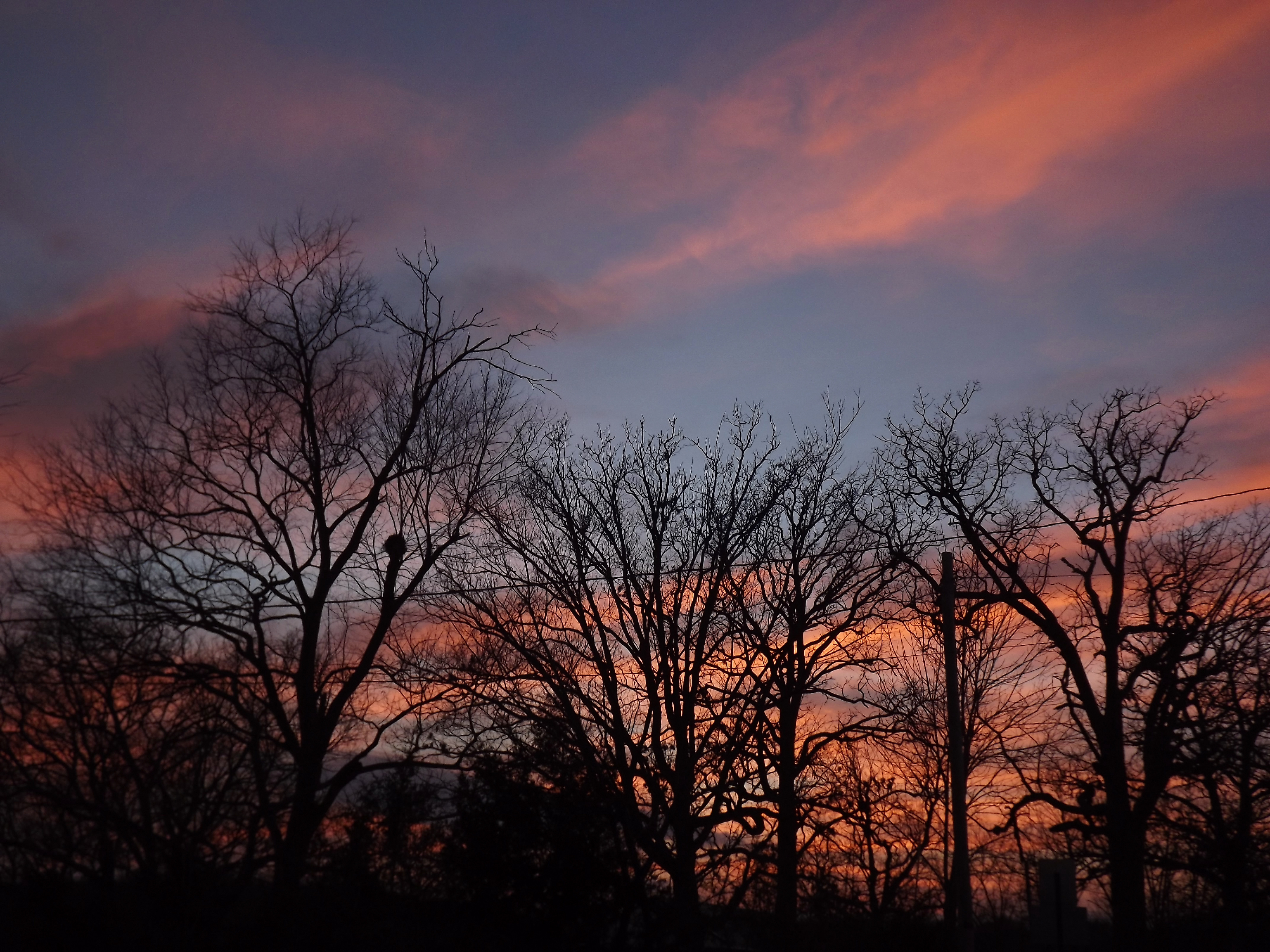
Warm Winter Sunset
NTD 2012

Partly Cloudy
Fall 2013 in JC, MO

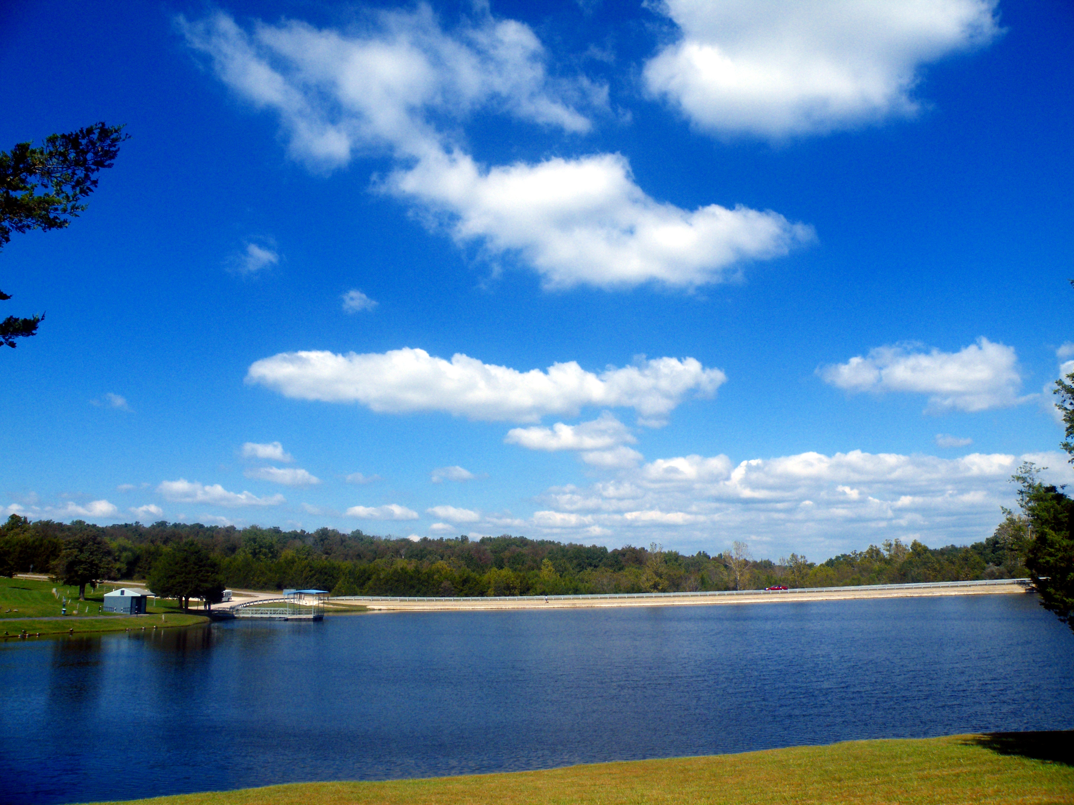
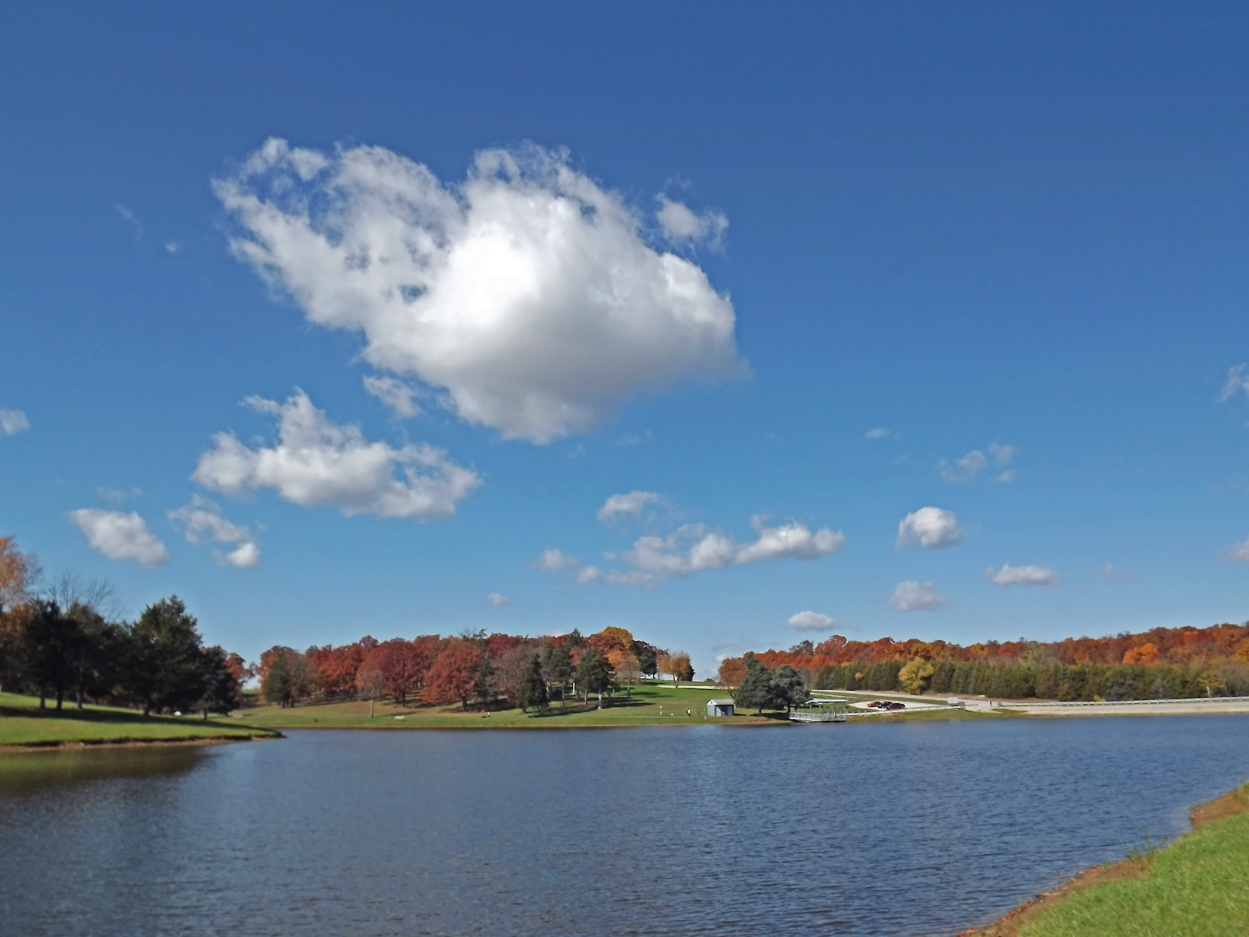
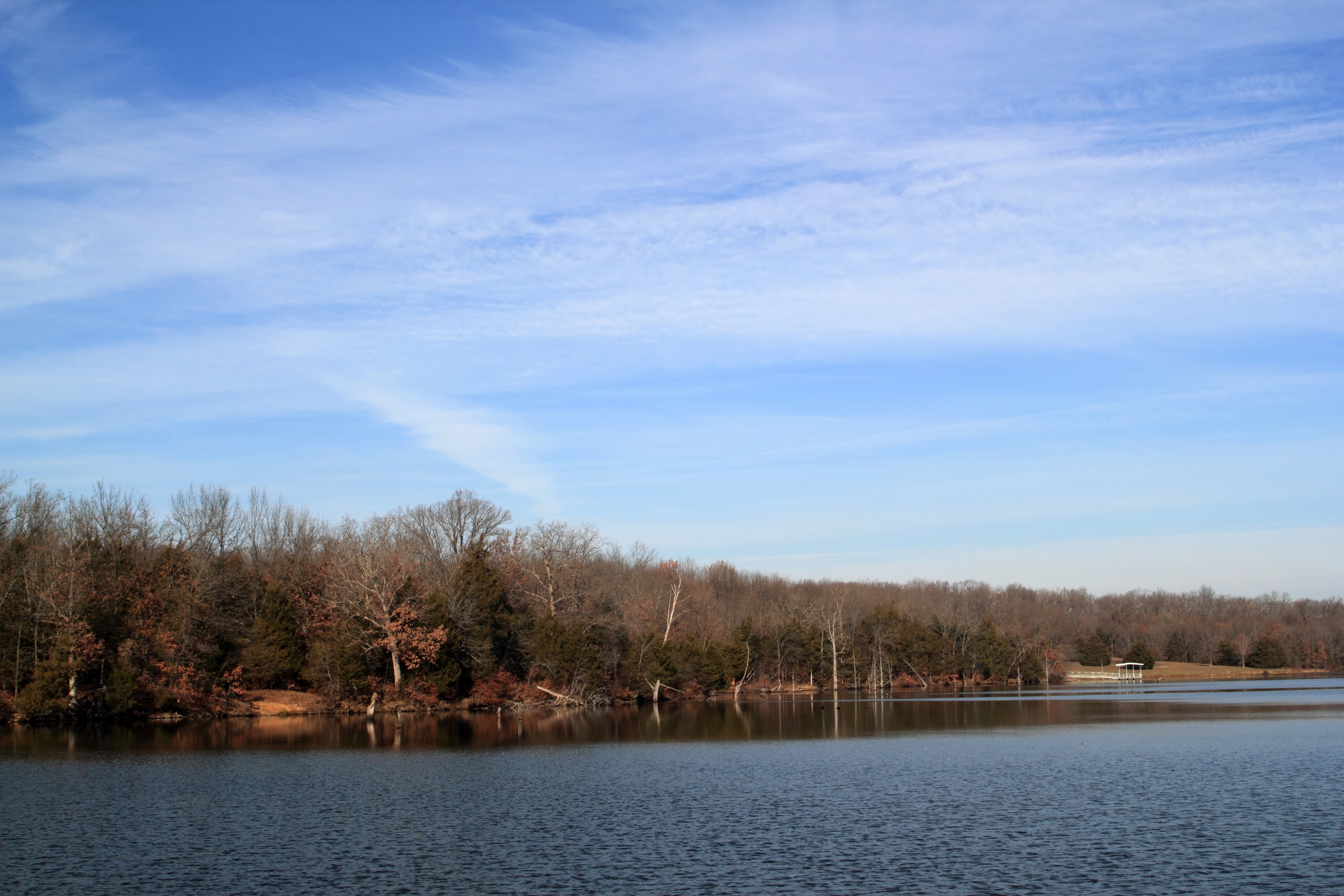
Farmhouse on the Lake
Partly Cloudy

Iridescent Clouds
Partly Cloudy
Partly Cloudy In J.C.
Partly Cloudy
Topographic Map of Moreau Township, MO, USA
Find elevation by address:

Places in Moreau Township, MO, USA:
Places near Moreau Township, MO, USA:
Russellville
Rte U, Centertown, MO, USA
Centertown
Kings Chapel Road
5204 Scruggs Station Rd
Mist Road
6912 Mist Rd
Marion Township
1445 Fairgrounds Rd
Hidden Trail
High Point Road
2602 High Point Rd
3222 Longview Dr
4302 County Park Rd
Cole County
5103 Buffalo Rd
Jefferson Township
516 S Country Club Dr
3600 Country Club Dr
Goller Road
Recent Searches:
- Elevation of Corso Fratelli Cairoli, 35, Macerata MC, Italy
- Elevation of Tallevast Rd, Sarasota, FL, USA
- Elevation of 4th St E, Sonoma, CA, USA
- Elevation of Black Hollow Rd, Pennsdale, PA, USA
- Elevation of Oakland Ave, Williamsport, PA, USA
- Elevation of Pedrógão Grande, Portugal
- Elevation of Klee Dr, Martinsburg, WV, USA
- Elevation of Via Roma, Pieranica CR, Italy
- Elevation of Tavkvetili Mountain, Georgia
- Elevation of Hartfords Bluff Cir, Mt Pleasant, SC, USA