Elevation of Mooreland, IN, USA
Location: United States > Indiana > Henry County > Blue River Township >
Longitude: -85.251076
Latitude: 39.9975468
Elevation: 342m / 1122feet
Barometric Pressure: 97KPa
Elevation Map:
Satellite Map:
Related Photos:

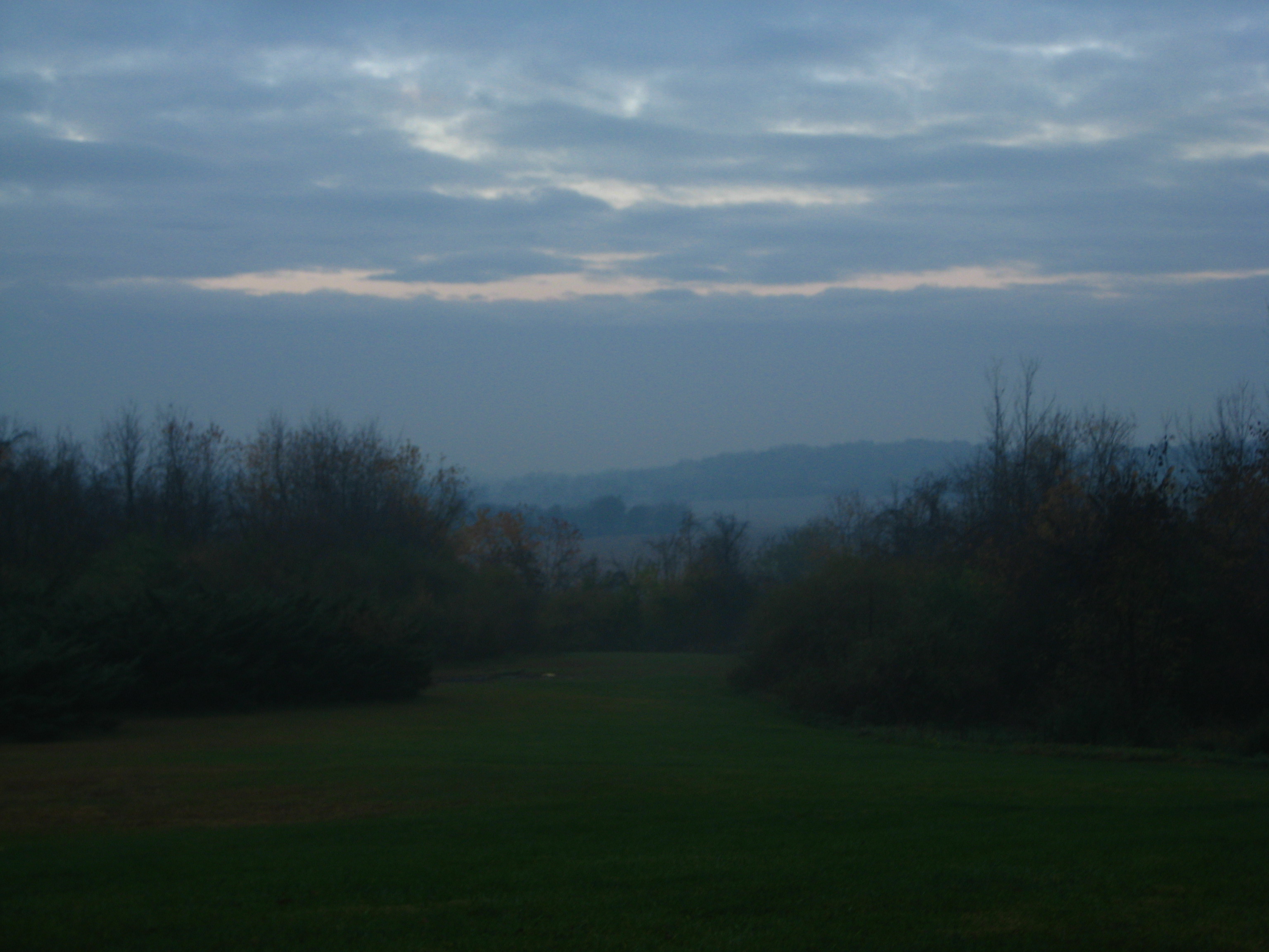
View from Indiana Trail Road

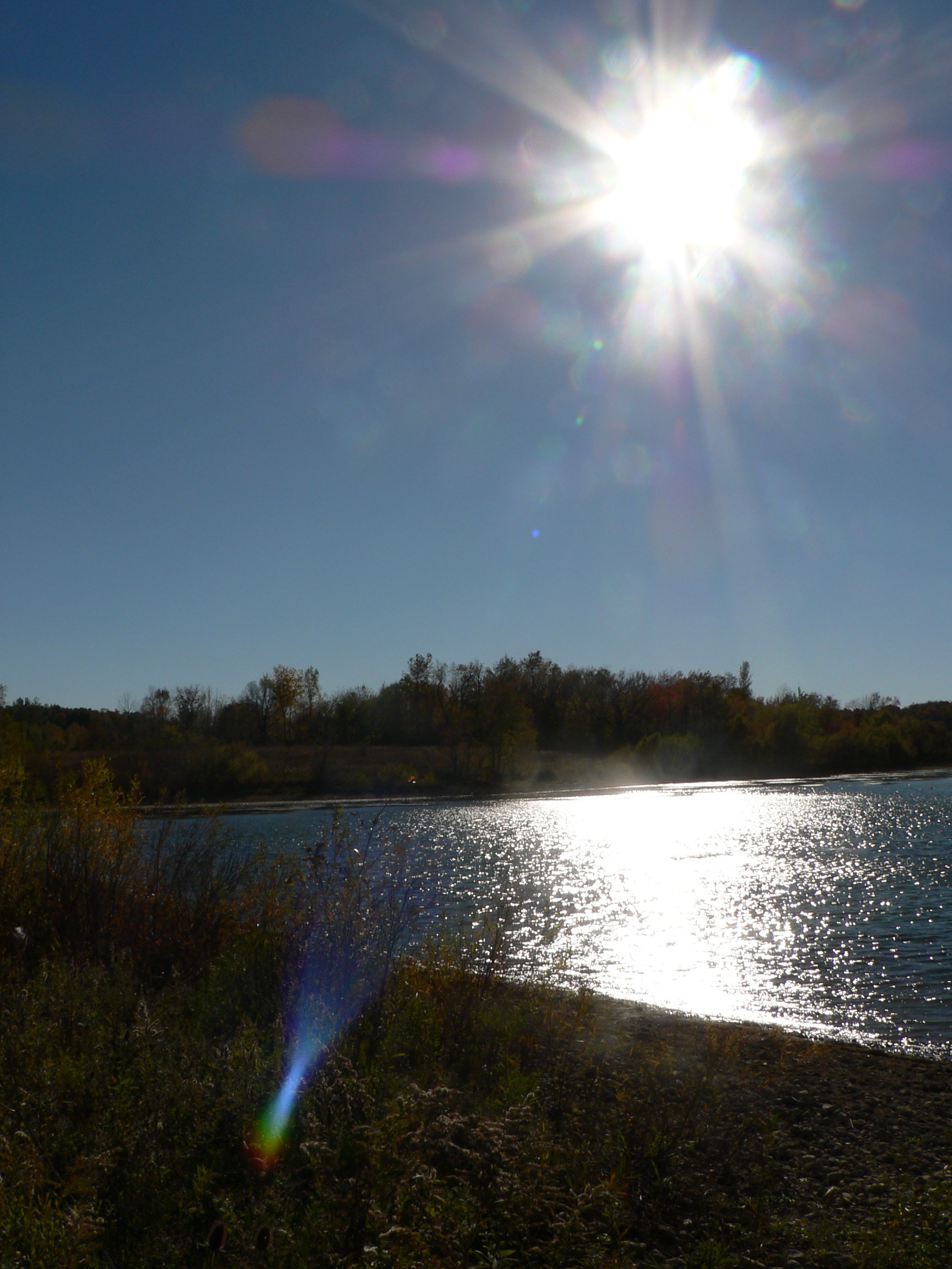
september morning at the lake.
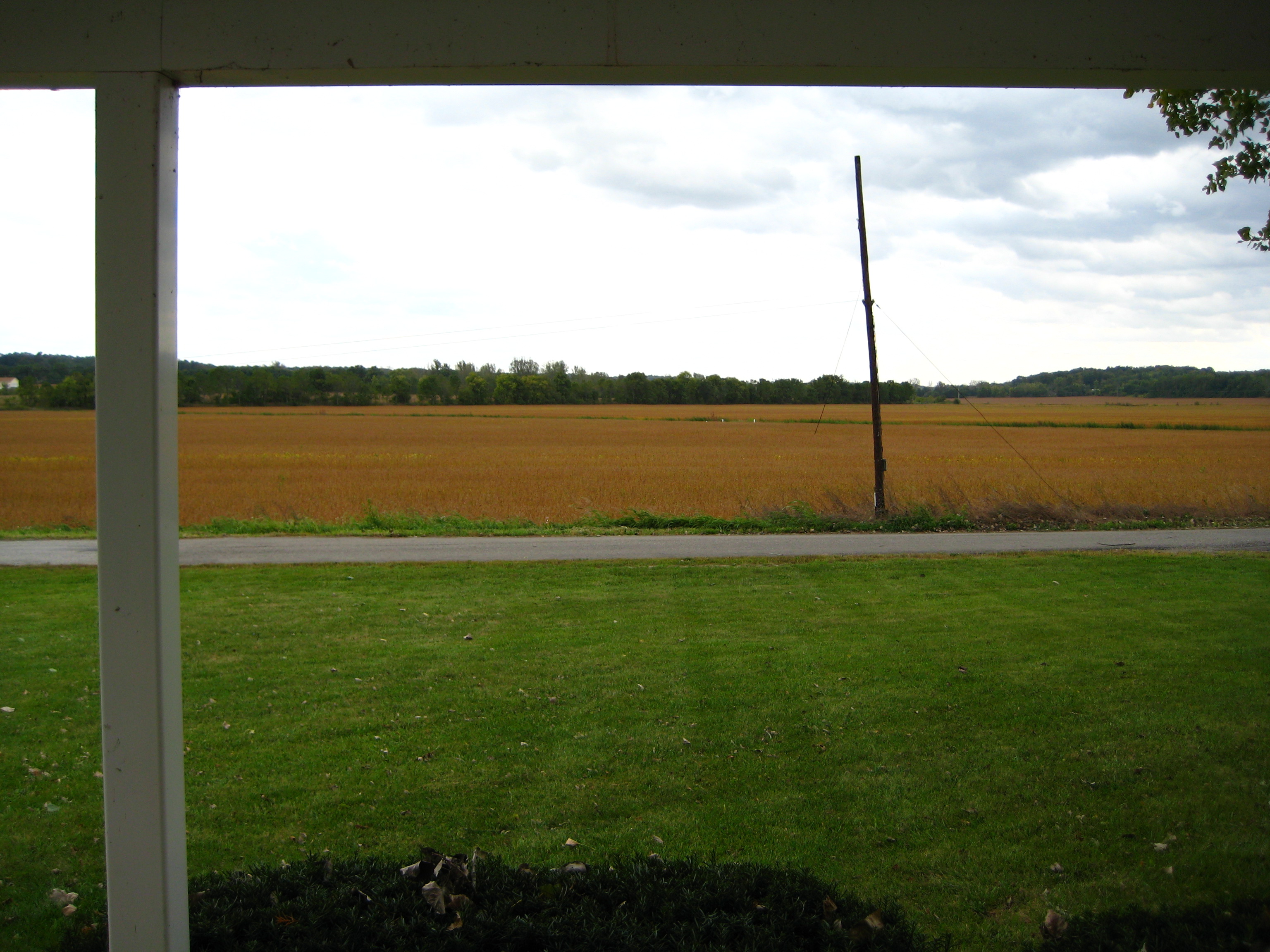
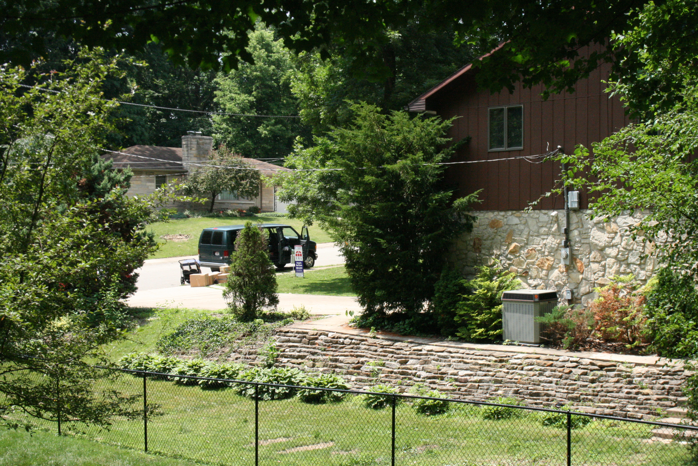
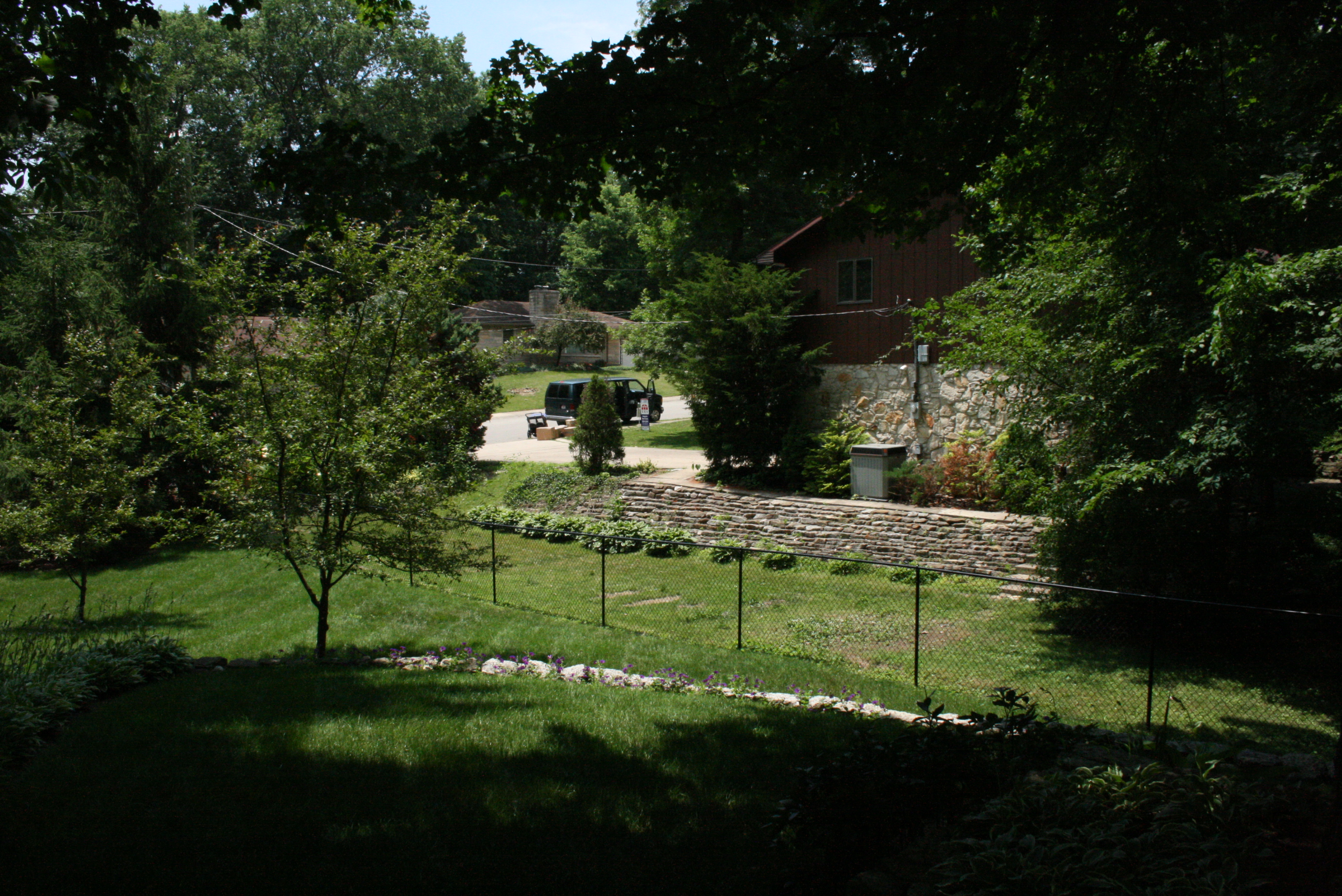
view from uphouse

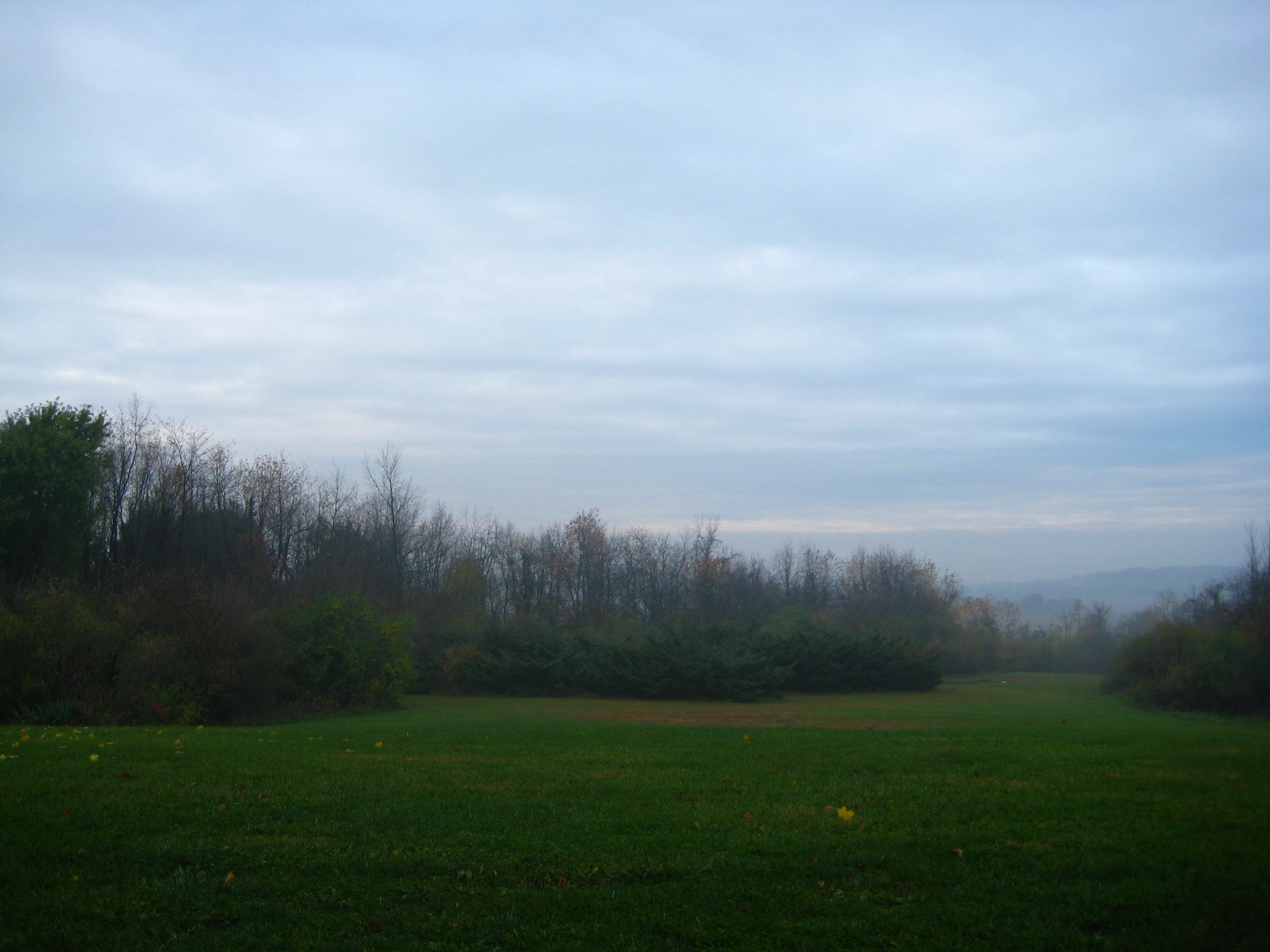
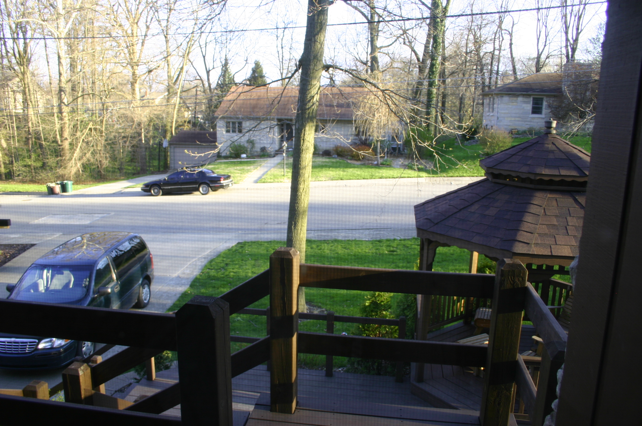
View from cabin's front porch
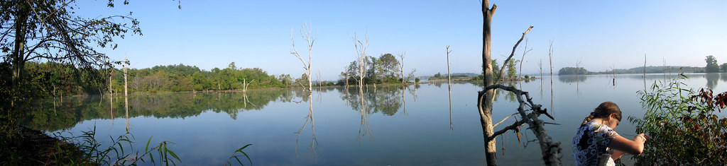
taking pictures of the lake with annie.
view from uphouse
View from cabin's front porch
2009_Szomszéd_052

freedom doesn't really mean free.
2009_Szomszéd_051
2007ápr_ÚjOtthon_9918

helloooooo.....

It's just one of those days...

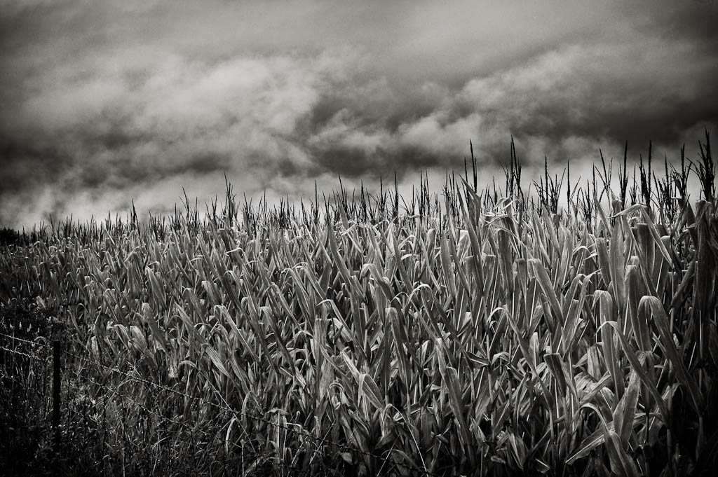
Barn of the Apocalypse.

Look for the spear....and you might find a bull
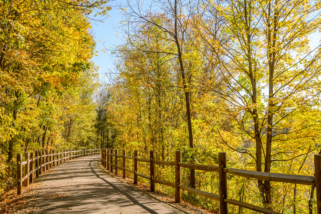
Wayne County Cardinal Greenway

Hagerstown Flying Circus 2015

Hagerstown Airport Runway

The heavens declare the glory of God ...

2014 Hagerstown Flying Circus

Visiting Aircraft
Prelude to Oz
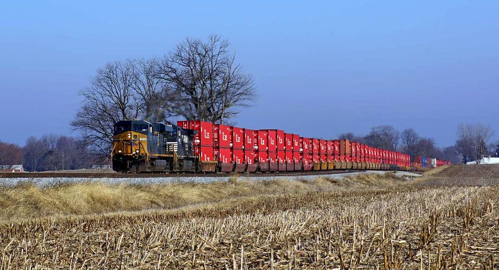
NS 25A with CSX
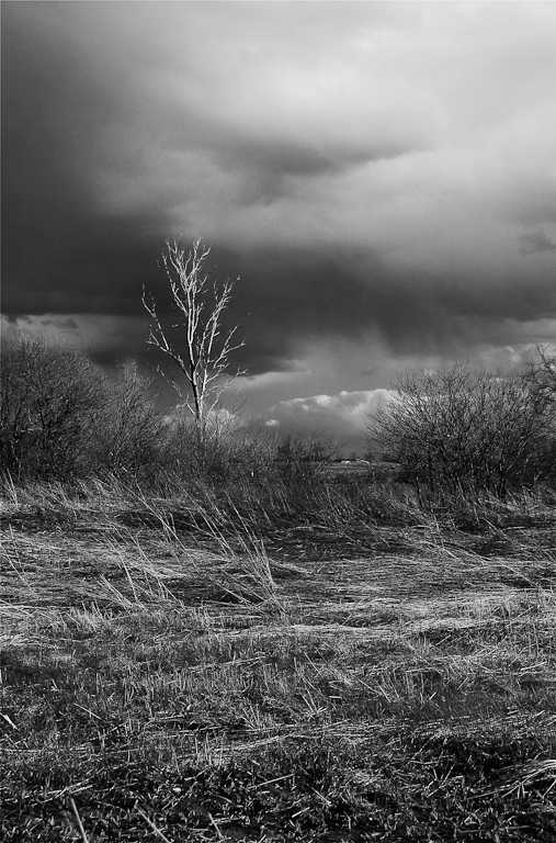
Coming Storm

Ice on Nettle Creek
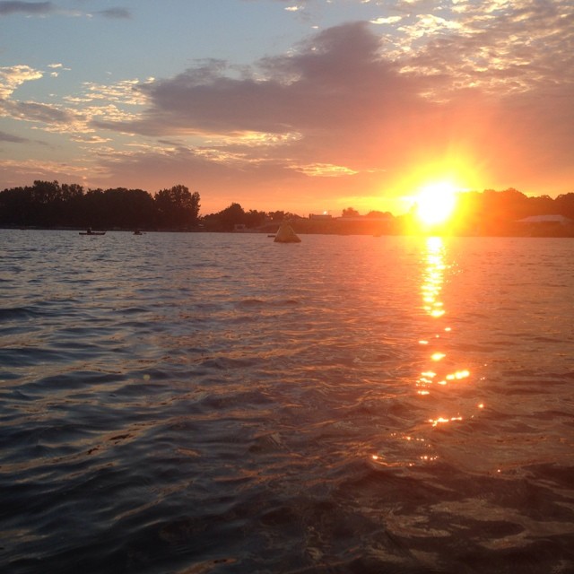
Sunrise on Prairie Creek Reservoir. Volunteering at Muncie Ironman. A kayak day.
Summit Lake State Park
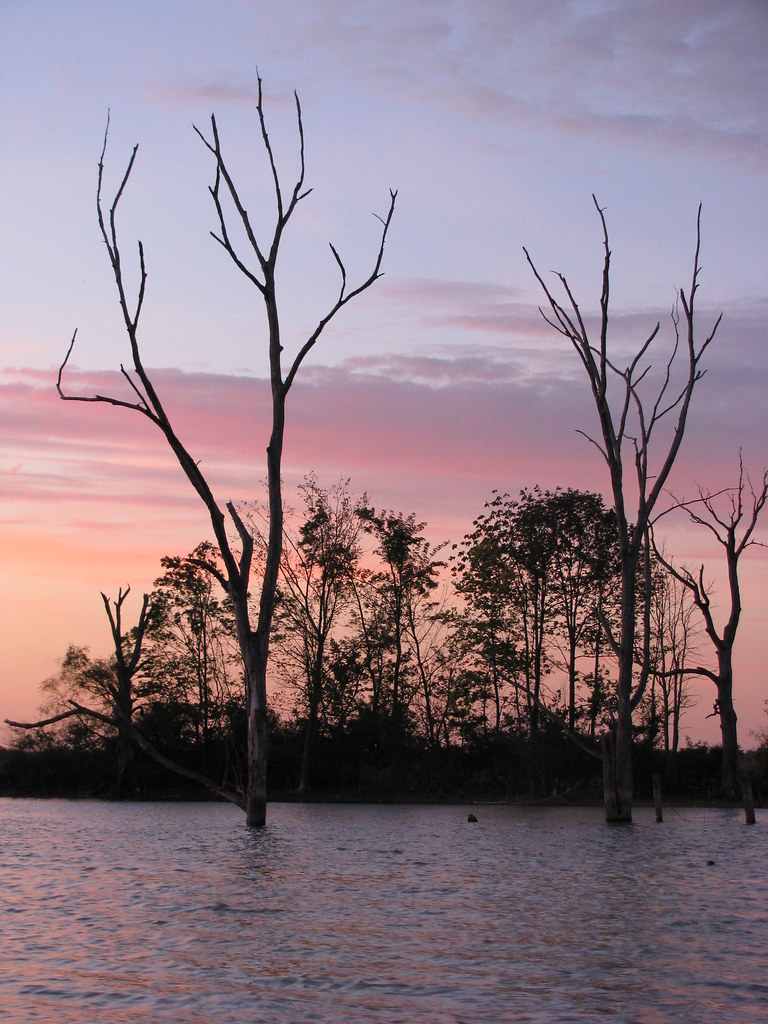
some more sunset.

Yellow Warbler

Green Heron
like a drifter i was born to walk alone.
Topographic Map of Mooreland, IN, USA
Find elevation by address:

Places in Mooreland, IN, USA:
Places near Mooreland, IN, USA:
S Broad St, Mooreland, IN, USA
Blue River Township
Stoney Creek Township
5993 N Messick Rd
N Messick Rd, New Castle, IN, USA
Blountsville
E County Rd N, Losantville, IN, USA
Dalton Rd, Hagerstown, IN, USA
S Wilbur Wright Rd, New Castle, IN, USA
Losantville
S Messick Rd, New Castle, IN, USA
Prairie Township
Liberty Township
Dalton Township
Henry County
E Dublin Pike, New Castle, IN, USA
52 W Main St, Hagerstown, IN, USA
Hagerstown
N County Rd 50 E, New Castle, IN, USA
N Main St, Modoc, IN, USA
Recent Searches:
- Elevation of Elwyn Dr, Roanoke Rapids, NC, USA
- Elevation of Congressional Dr, Stevensville, MD, USA
- Elevation of Bellview Rd, McLean, VA, USA
- Elevation of Stage Island Rd, Chatham, MA, USA
- Elevation of Shibuya Scramble Crossing, 21 Udagawacho, Shibuya City, Tokyo -, Japan
- Elevation of Jadagoniai, Kaunas District Municipality, Lithuania
- Elevation of Pagonija rock, Kranto 7-oji g. 8"N, Kaunas, Lithuania
- Elevation of Co Rd 87, Jamestown, CO, USA
- Elevation of Tenjo, Cundinamarca, Colombia
- Elevation of Côte-des-Neiges, Montreal, QC H4A 3J6, Canada