Elevation of Moore Ave, Alva, FL, USA
Location: United States > Florida > Lee County > Alva >
Longitude: -81.574902
Latitude: 26.689315
Elevation: 6m / 20feet
Barometric Pressure: 101KPa
Elevation Map:
Satellite Map:
Related Photos:

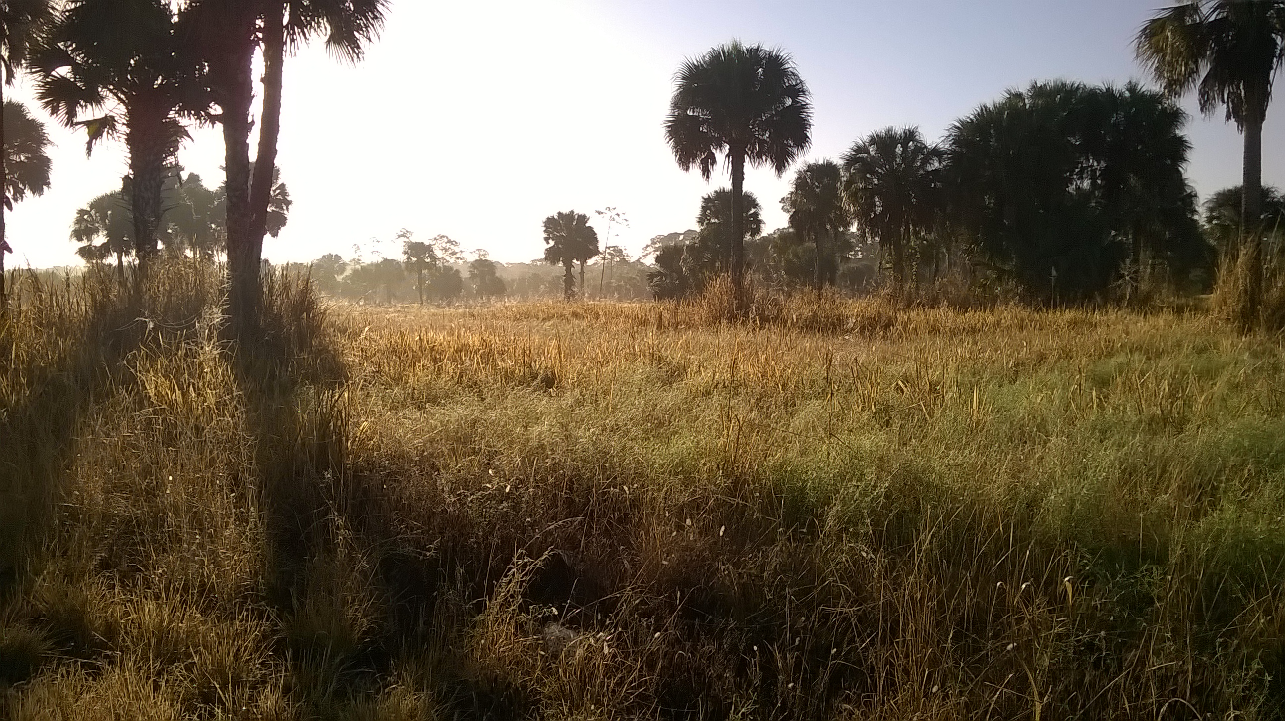
I am going to miss this view. #Palms #Florida #Sun

The Caloosahatchee from the Alva Bridge

Blue-winged Teals

Belter Kingfisher

A view from above. I used a GoPro Hero 3+ Black Edition a HQ Invento 2 Meter Delta with 1000 ft. 150 Lbs. Kevlar line.

Douglas DC-3s N834M & N211GB & C-117 N851M

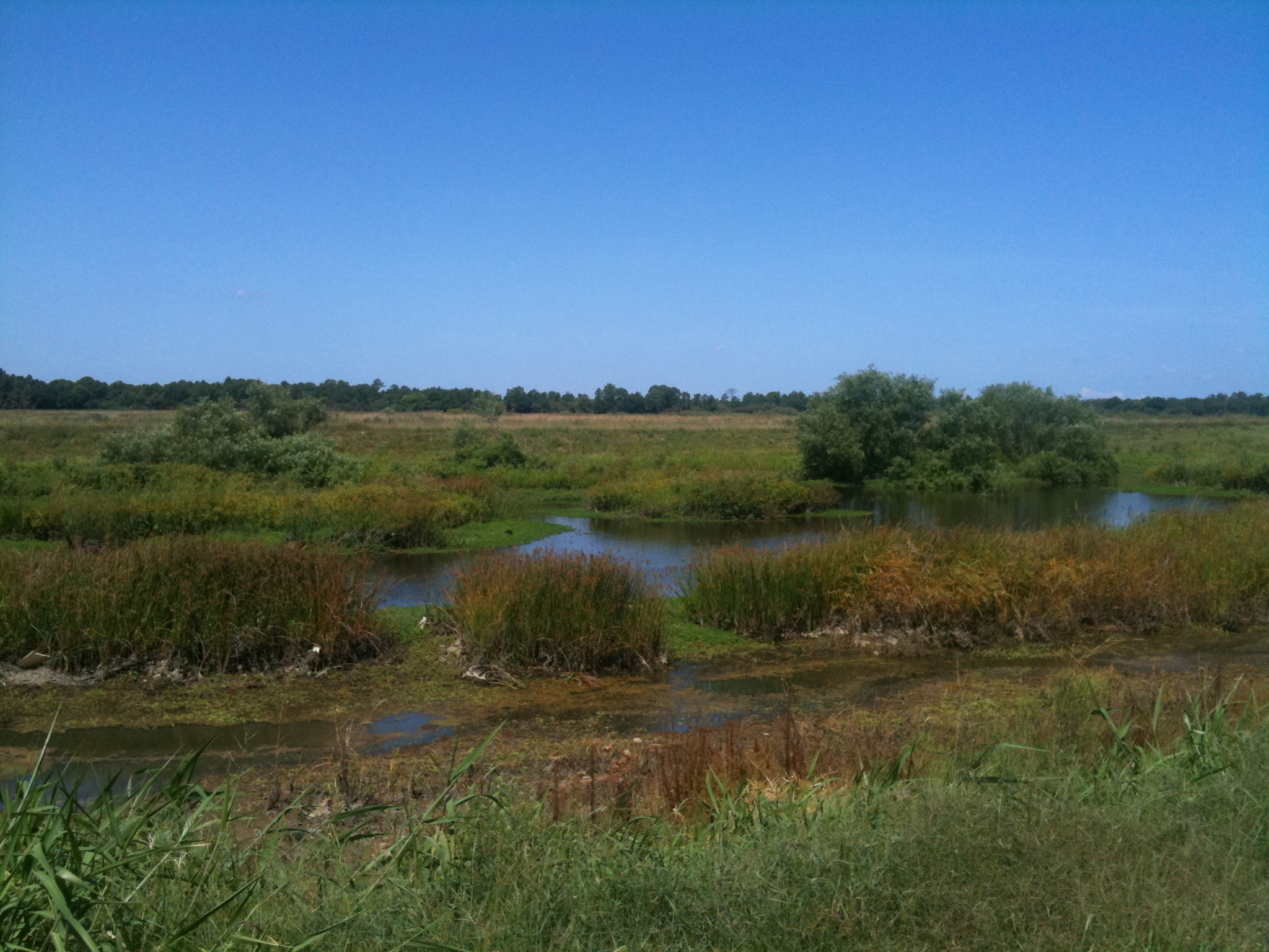
Harns Marsh

Douglas DC-3s - Lee County Mosquito Control District

American Bittern

Caloosahatchee River
Caloosahatchee Regional Park

Caloosahatchee River

Savannah Sparrow

Palm Warbler

Camera Roll-153

Harns Marsh

Harns Marsh Cypress Dome

Camera Roll-152

Camera Roll-131
Camera Roll-161

Caloosahatchee Regional Park

Camera Roll-157

Florida,Alva, Riverfront Home

IMG_0270.JPG

Telegraph Creek

Alva, FL - Hypotenuse Trail
Topographic Map of Moore Ave, Alva, FL, USA
Find elevation by address:

Places near Moore Ave, Alva, FL, USA:
7789 22nd Terrace
22901 Tuckahoe Rd
23191 Avenue D
Second St, Alva, FL, USA
2304 Jackson Ave
Charleston Park
124 Greenbriar Blvd
1506 Monroe Ave
Joel
Broadway St, Alva, FL, USA
3002 East 13th Street
Alva
Joel Boulevard
Lehigh Acres, FL, USA
20150 Langford Rd
901 East 15th Street
1506 Greenwood Ave
822 Wellington Ave
1502 Greenwood Ave
1314 Lincoln Ave
Recent Searches:
- Elevation of Kreuzburger Weg 13, Düsseldorf, Germany
- Elevation of Gateway Blvd SE, Canton, OH, USA
- Elevation of East W.T. Harris Boulevard, E W.T. Harris Blvd, Charlotte, NC, USA
- Elevation of West Sugar Creek, Charlotte, NC, USA
- Elevation of Wayland, NY, USA
- Elevation of Steadfast Ct, Daphne, AL, USA
- Elevation of Lagasgasan, X+CQH, Tiaong, Quezon, Philippines
- Elevation of Rojo Ct, Atascadero, CA, USA
- Elevation of Flagstaff Drive, Flagstaff Dr, North Carolina, USA
- Elevation of Avery Ln, Lakeland, FL, USA