Elevation of Montrose, CO, USA
Location: United States > Colorado > Ouray County >
Longitude: -107.90578
Latitude: 38.3020086
Elevation: 2355m / 7726feet
Barometric Pressure: 76KPa
Elevation Map:
Satellite Map:
Related Photos:
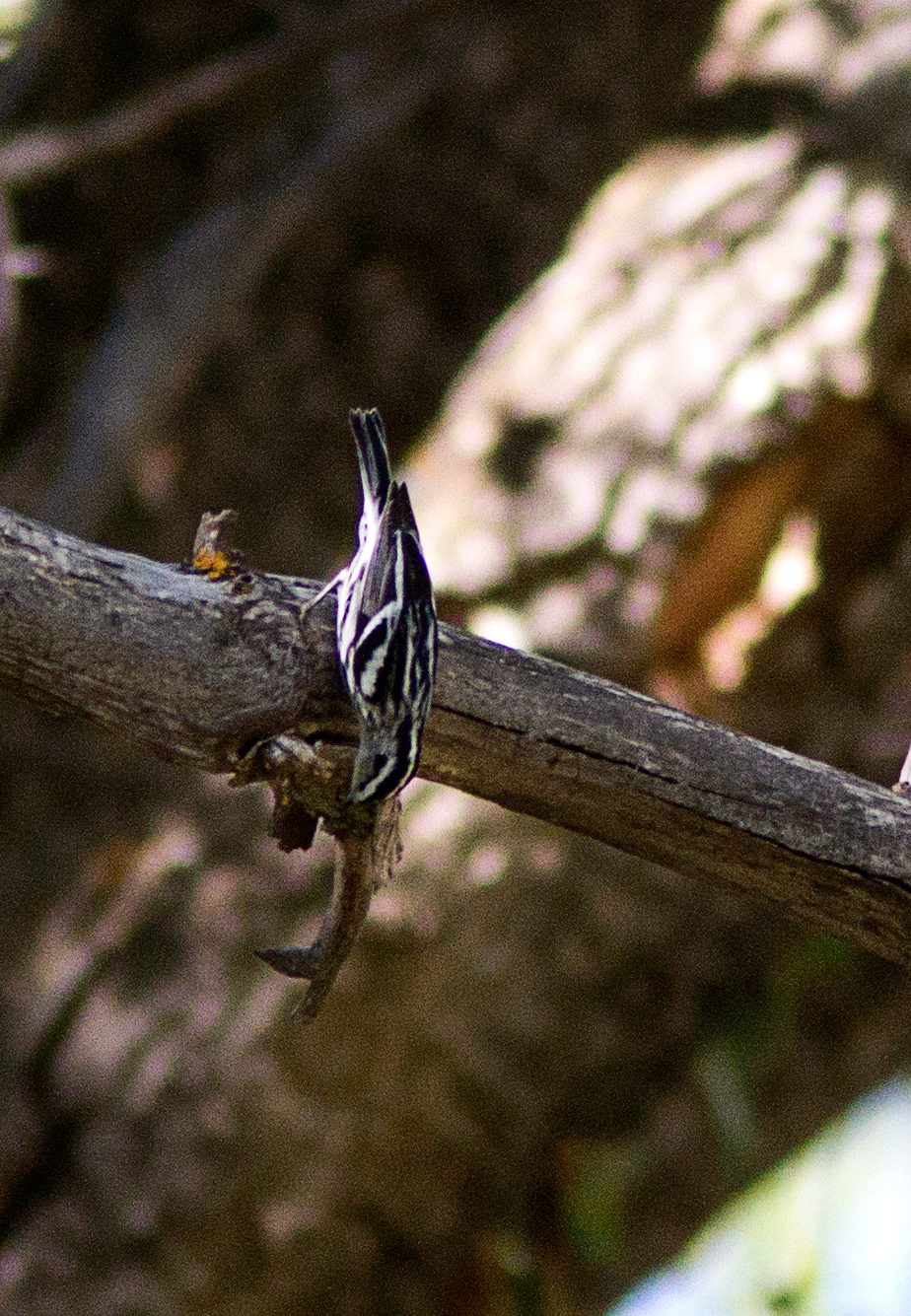
Black-and-White Warbler
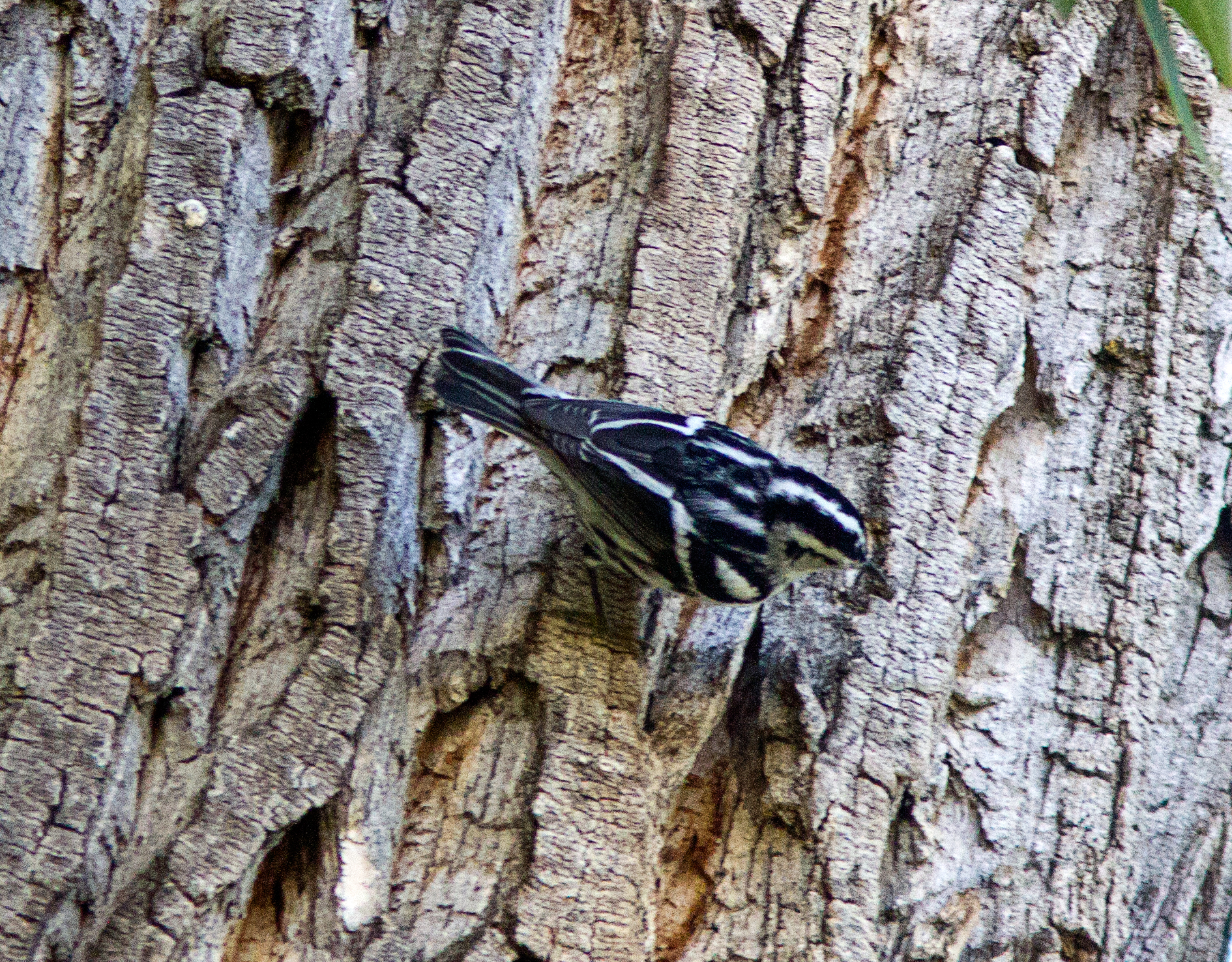
Black-and-White Warbler
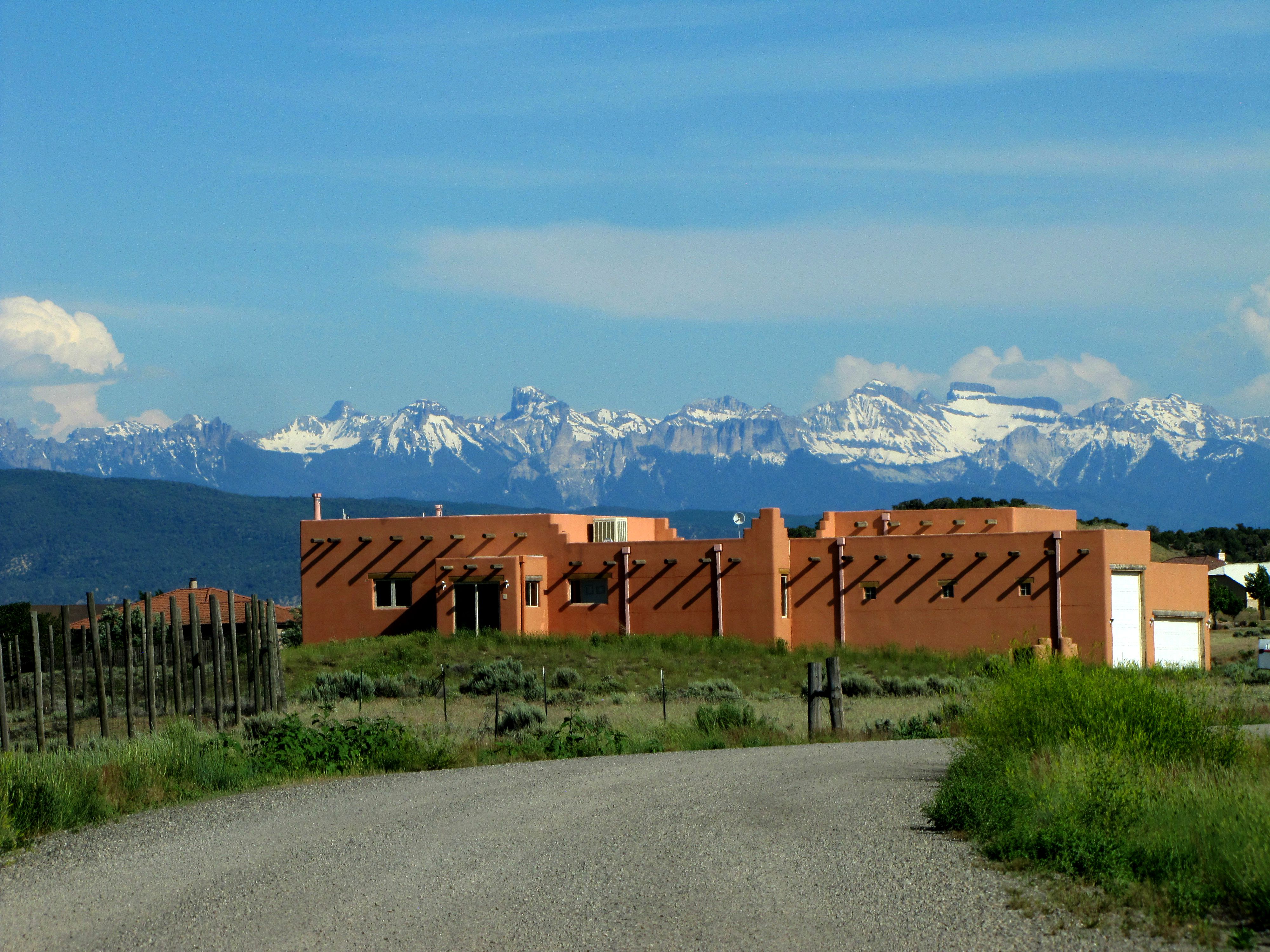
Santa Fe style on the western slope

Log home with a tile roof
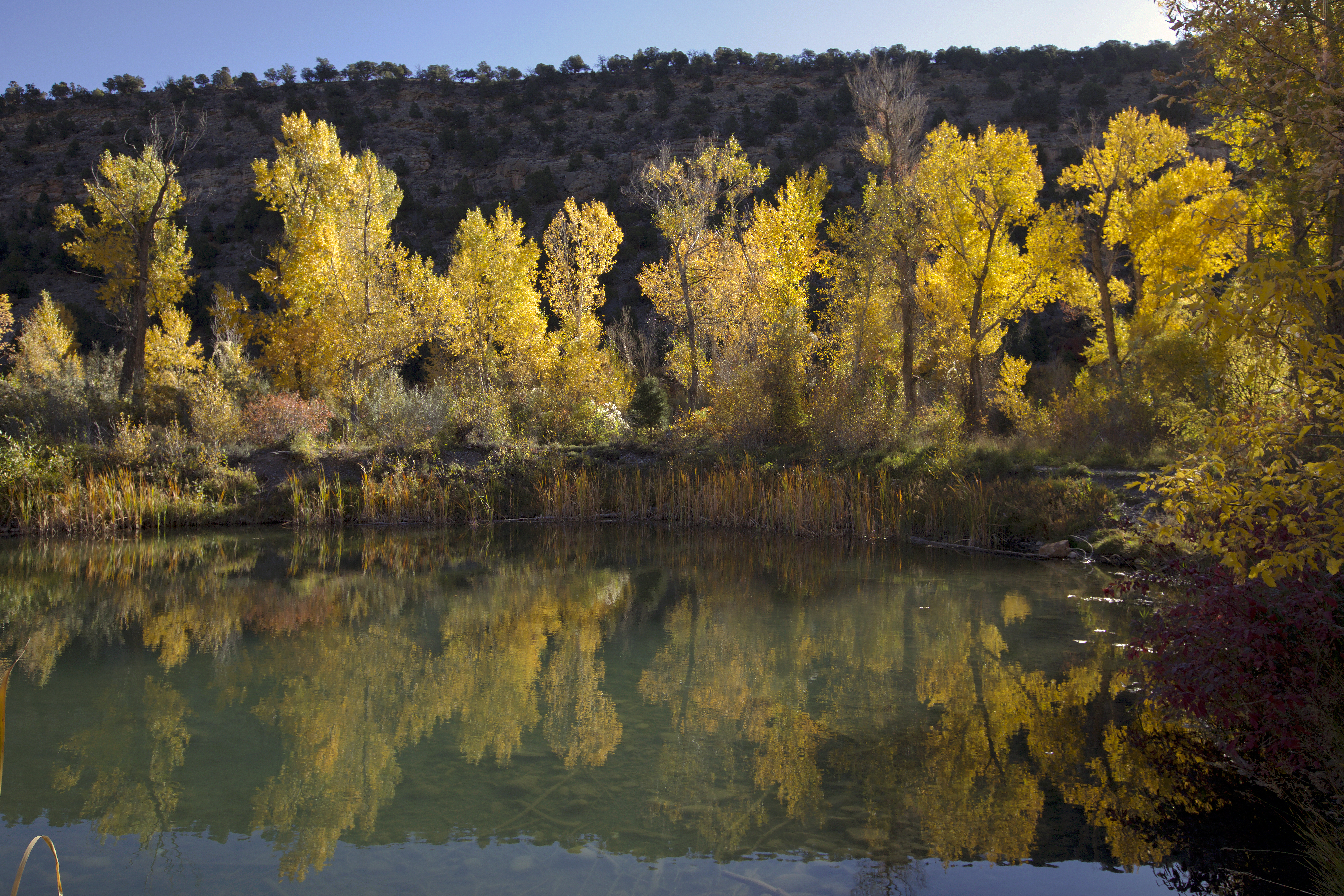
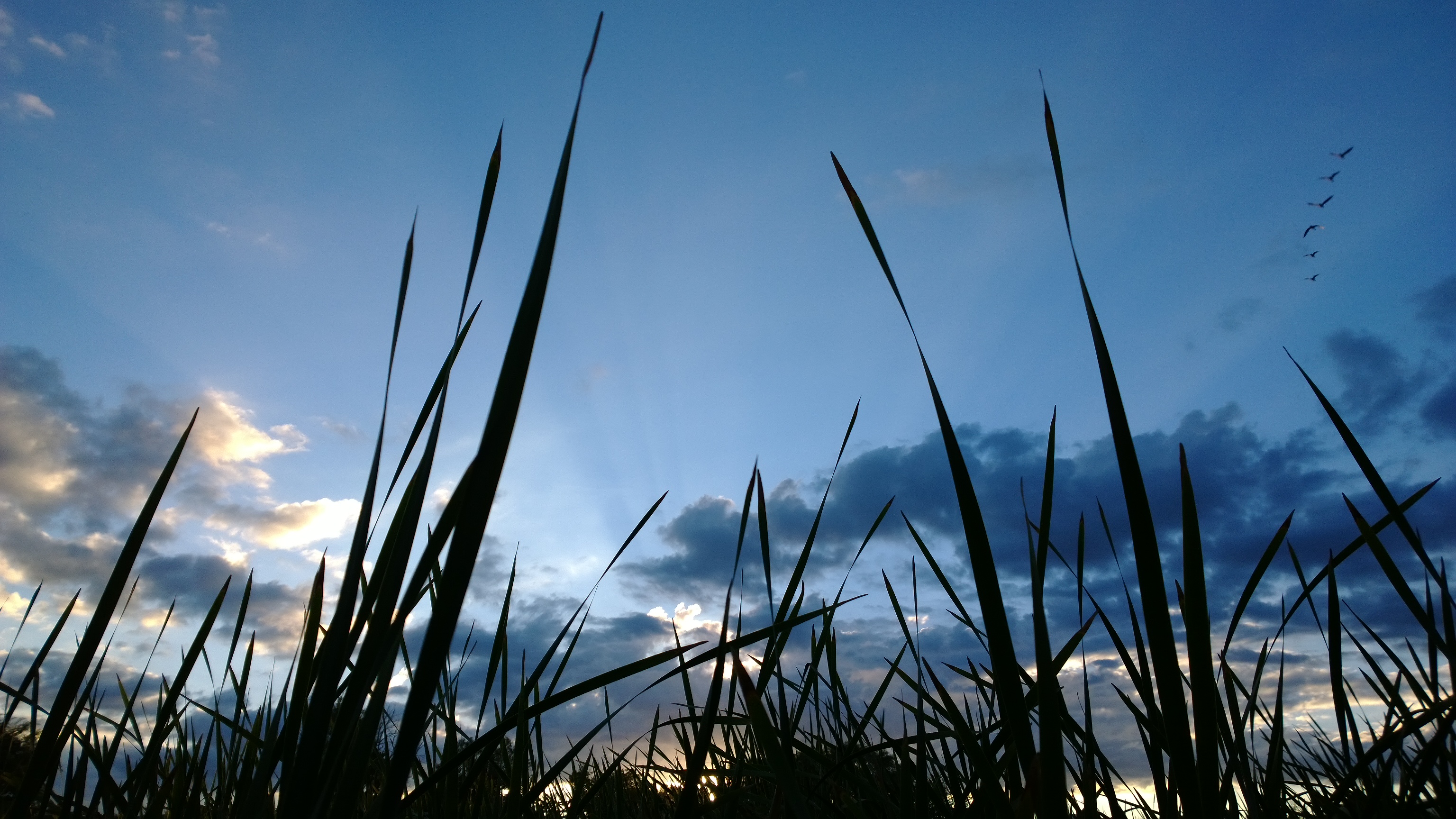
Warmly backlit

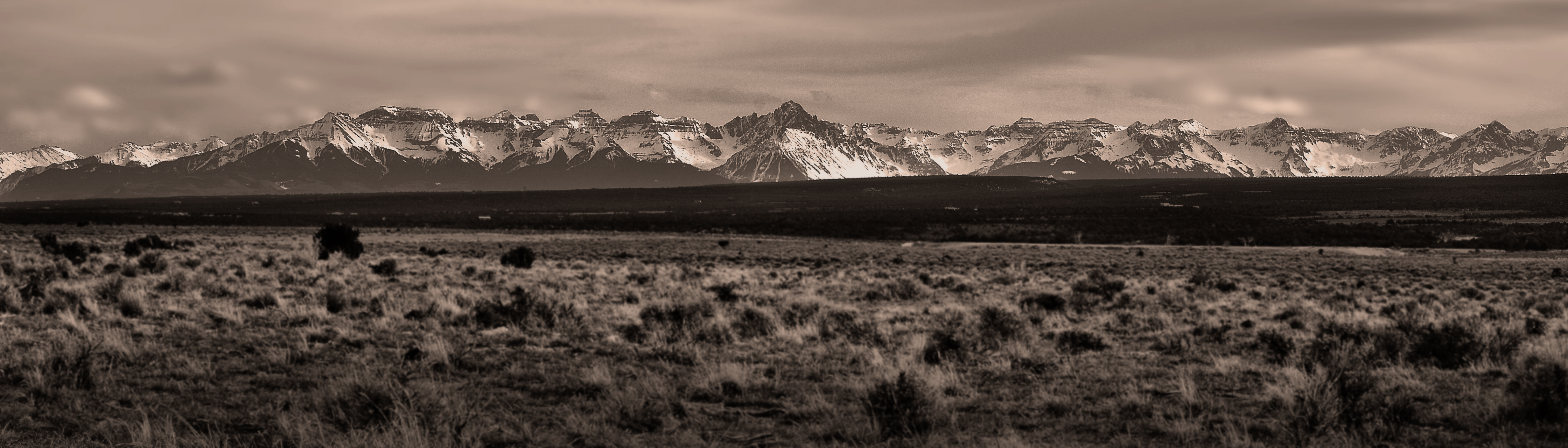
Rocky Mountains
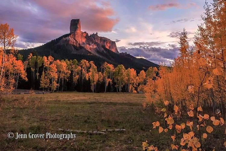
The last light hits Chimney Rock from Matty Ross' Meadow at Owl Creek Pass. #landscape_lovers #WatchThisInstagood #landscape_captures #VisualsOfLife #dehazeco #livefolk #artofvisuals #liveauthentic #welivetoexplore #jaw_dropping_shots #naturelovers #awes
6tag_180913-143325
WP_20130918_14_21_20_Pro.jpg

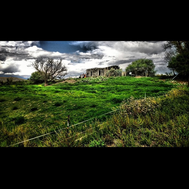
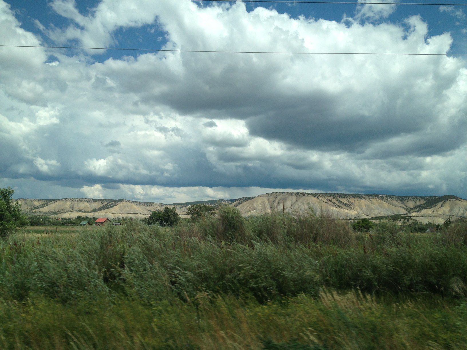
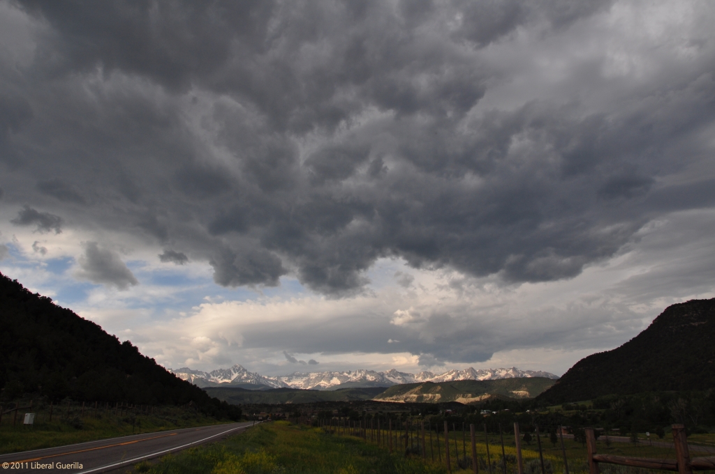
Field, Mountains & Storm Clouds

WP_20131011_18_16_08_Pro.jpg

WP_20130916_07_21_58_Pro.jpg
WP_20131011_18_16_08_Pro.jpg
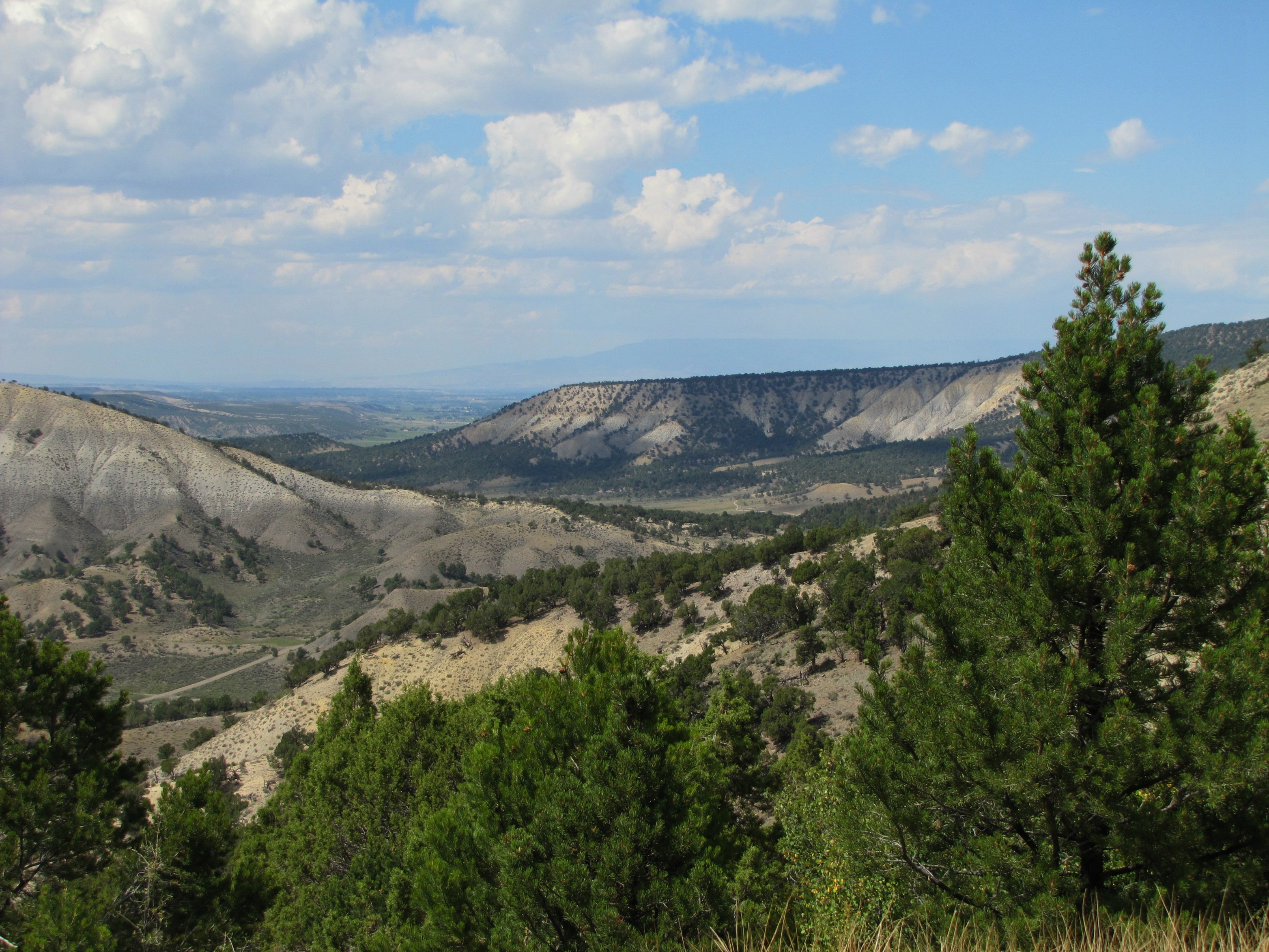
Mesas in Colorado
WP_20130916_07_21_58_Pro.jpg
Sims Mesa
WP_20130918_14_21_11_Pro.jpg
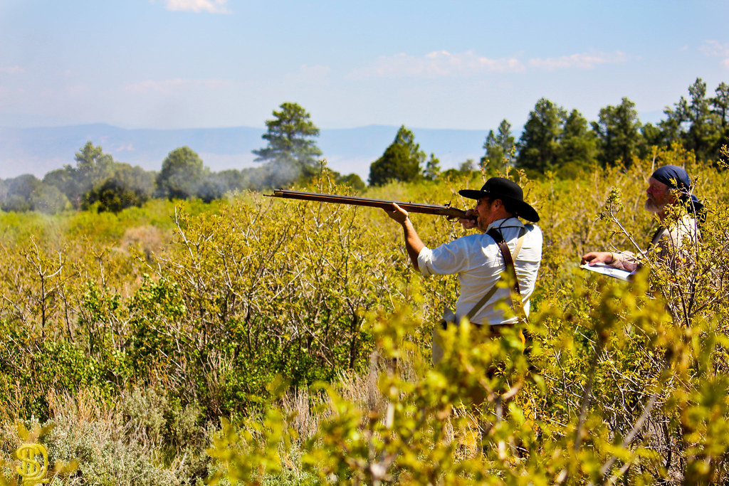
Happy Canyon Rendezvous 10
Ridgway, CO
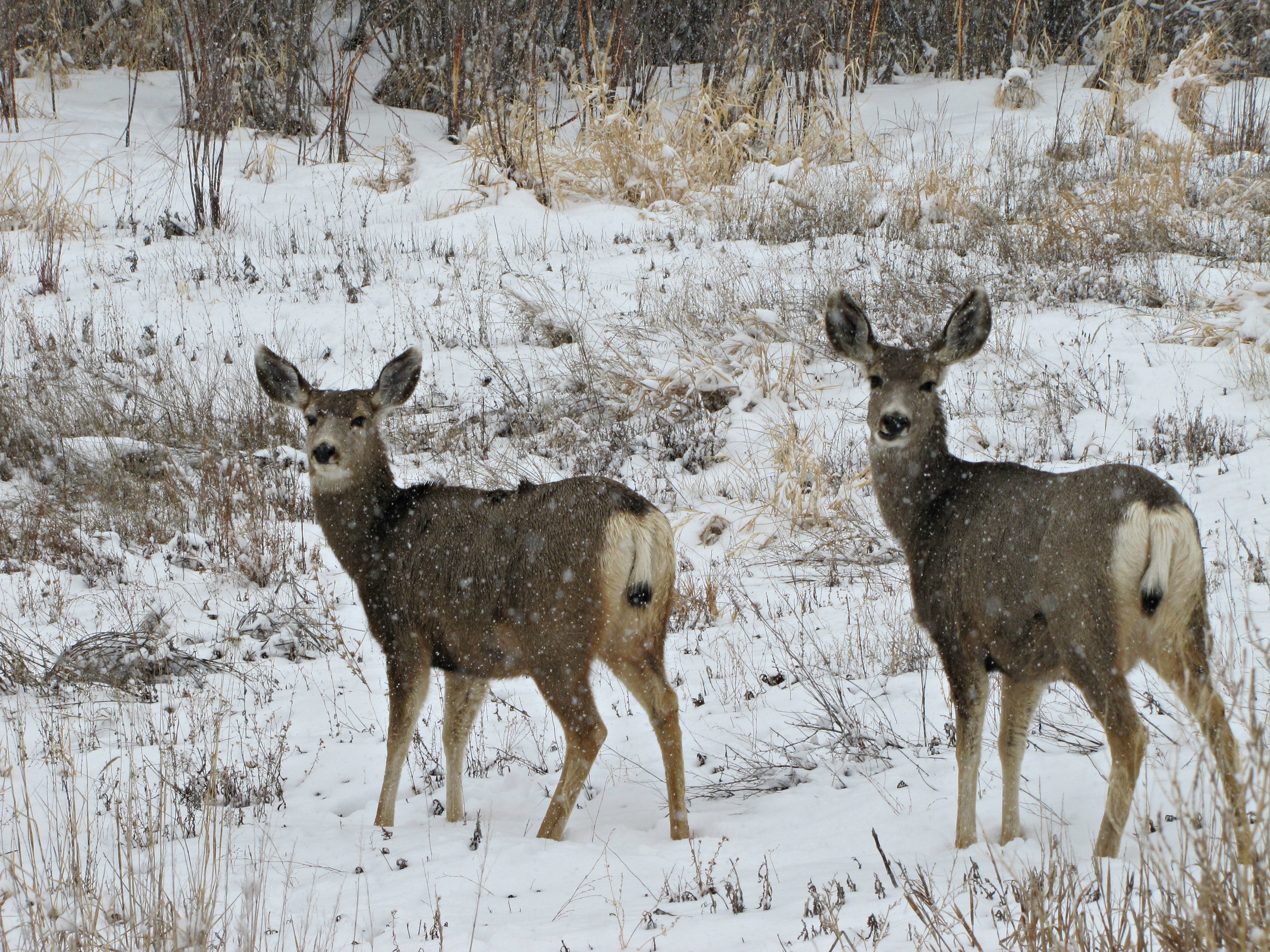
Mule deer in the snow (3 of 3)
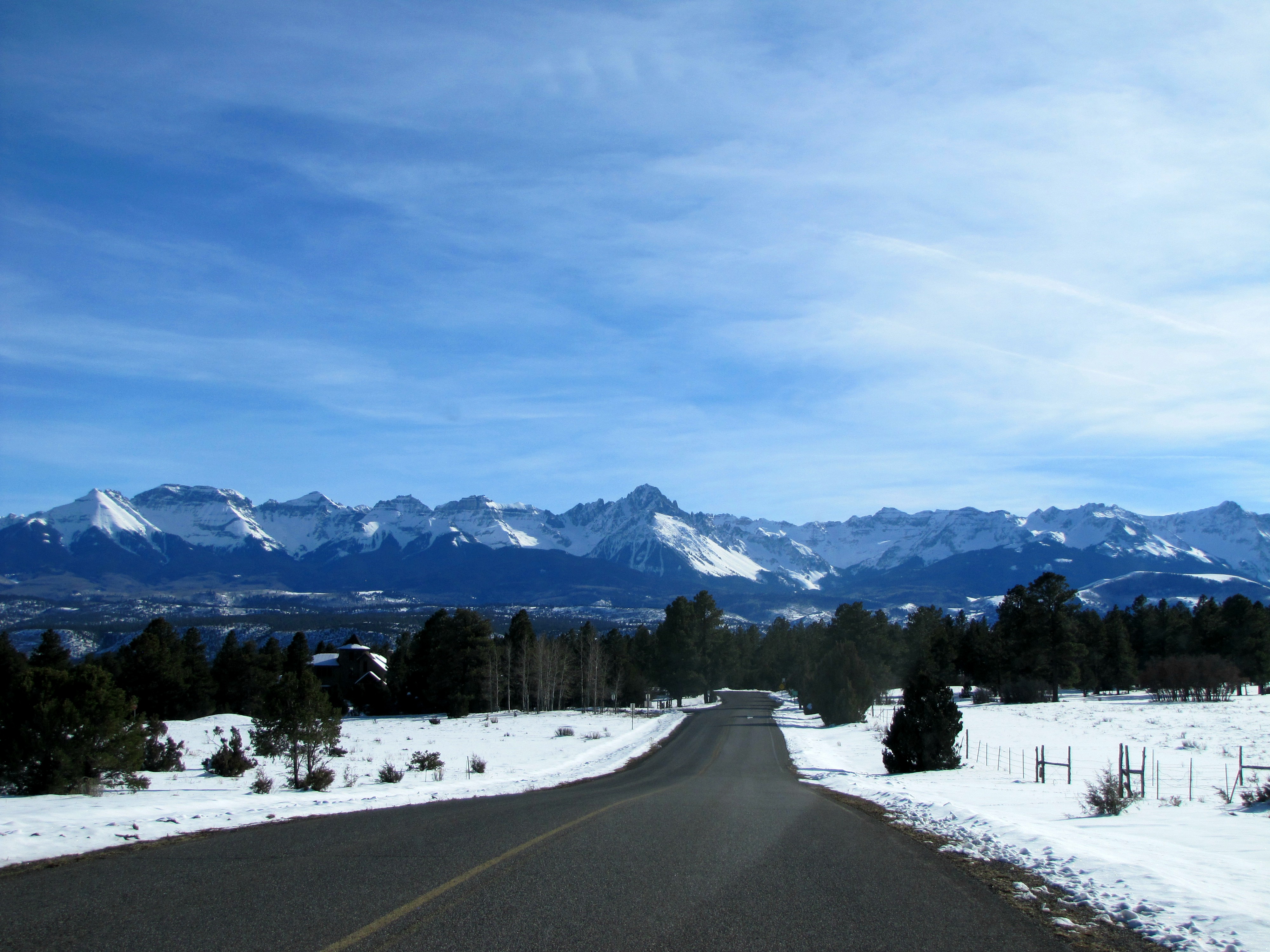
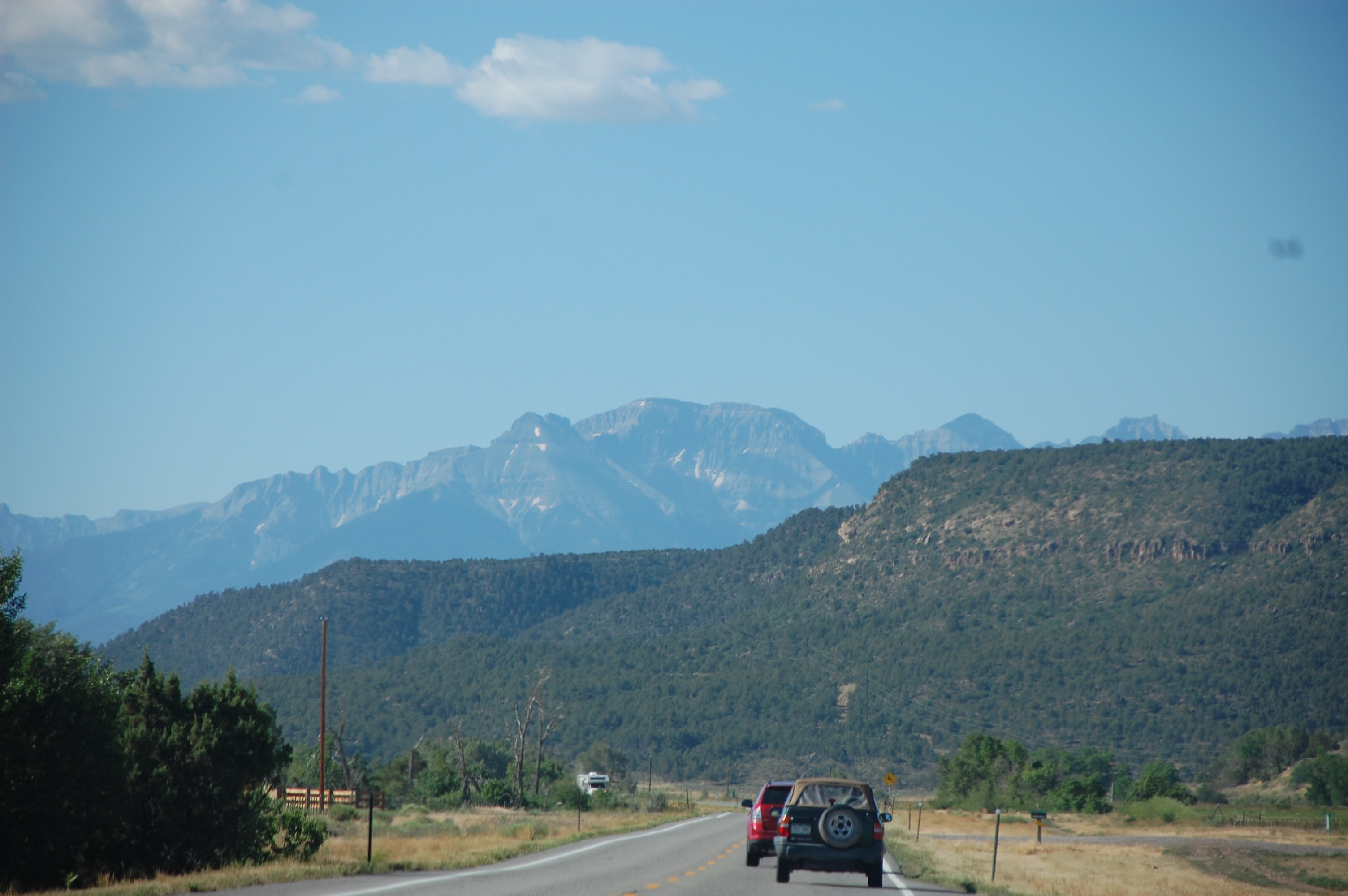
Sneffels Range dead ahead
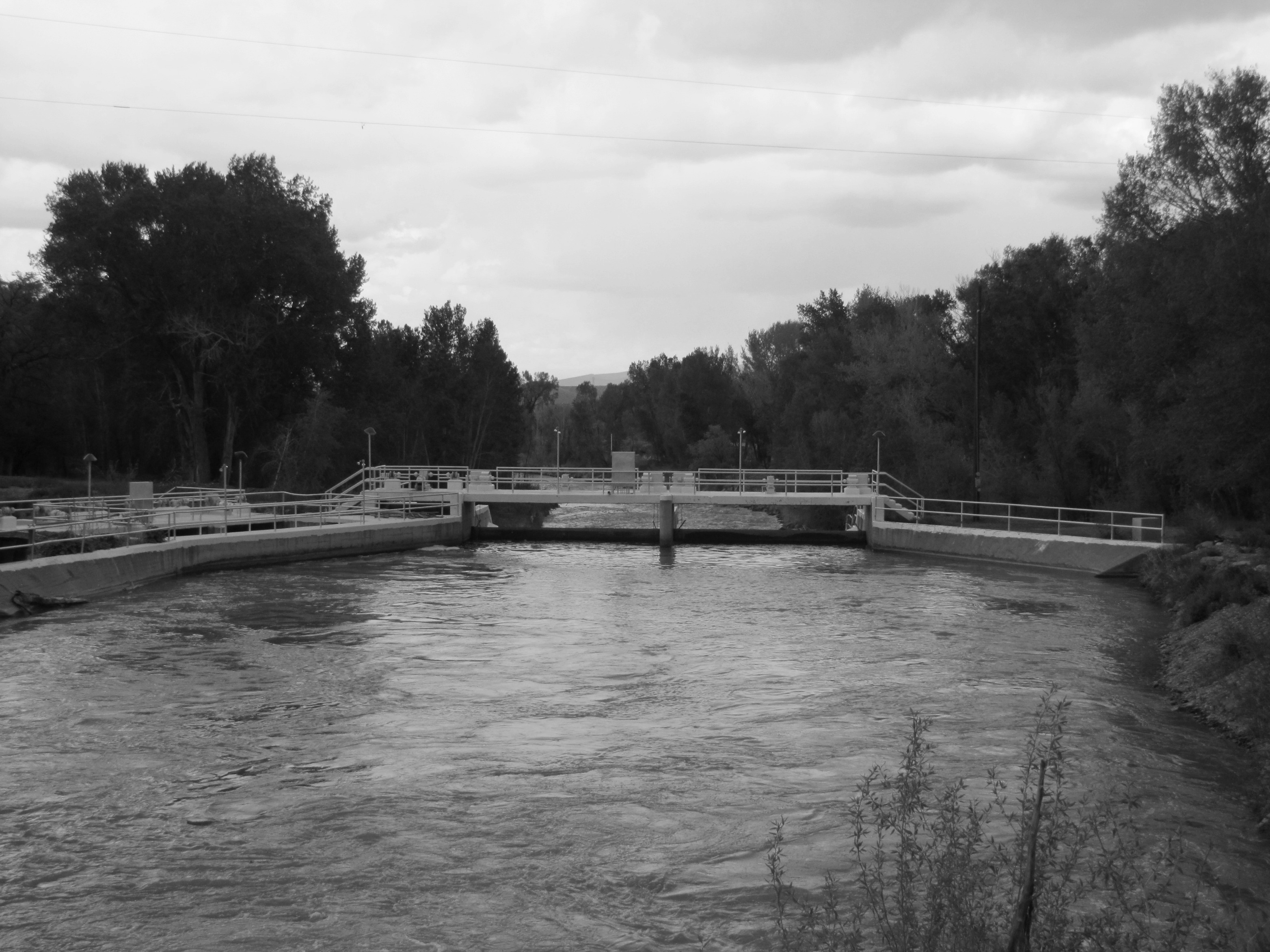
The South Canal changed everything.
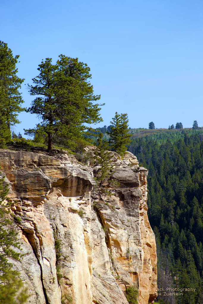
DON'T FALL ...
Billy Creek State Wildlife Area (1 of 3)
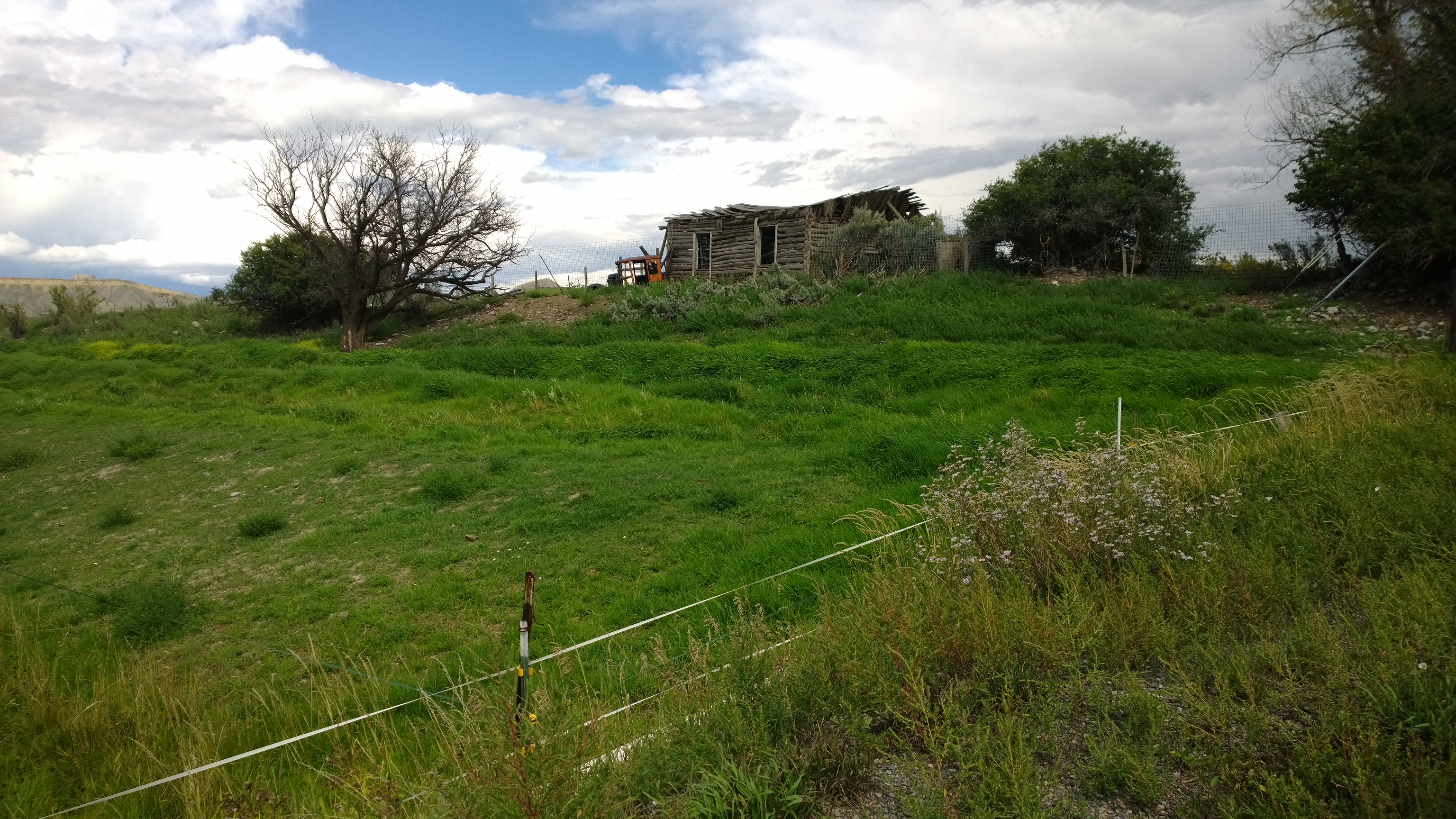
Leaving Montrose Colorado
Topographic Map of Montrose, CO, USA
Find elevation by address:

Places near Montrose, CO, USA:
10051 Sims Mesa Rd
378 Weahgatay Rd
231 Sunrose Ln
924 County Rd 22
Wild Poppy Drive
501 Galloping Goose Ln
3768 Co Rd 1
Wisteria Drive
134 Mcclaran Ln
35675 Us-550
101 Fisher Creek Dr
101 Fisher Canyon Dr
35741 Us-550
Old Relay Road
Divide Ranch Circle
Ponderosa Drive
220 Pleasant Valley Ct
46 Marmot Ct
46 Marmot Ct
562 Marmot Dr
Recent Searches:
- Elevation of Leyte Industrial Development Estate, Isabel, Leyte, Philippines
- Elevation of W Granada St, Tampa, FL, USA
- Elevation of Pykes Down, Ivybridge PL21 0BY, UK
- Elevation of Jalan Senandin, Lutong, Miri, Sarawak, Malaysia
- Elevation of Bilohirs'k
- Elevation of 30 Oak Lawn Dr, Barkhamsted, CT, USA
- Elevation of Luther Road, Luther Rd, Auburn, CA, USA
- Elevation of Unnamed Road, Respublika Severnaya Osetiya — Alaniya, Russia
- Elevation of Verkhny Fiagdon, North Ossetia–Alania Republic, Russia
- Elevation of F. Viola Hiway, San Rafael, Bulacan, Philippines