Elevation of Montgomery Township, IN, USA
Location: United States > Indiana > Jennings County >
Longitude: -85.633209
Latitude: 38.8540929
Elevation: 205m / 673feet
Barometric Pressure: 99KPa
Elevation Map:
Satellite Map:
Related Photos:
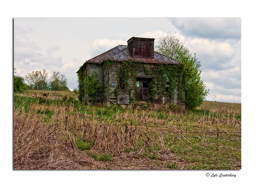
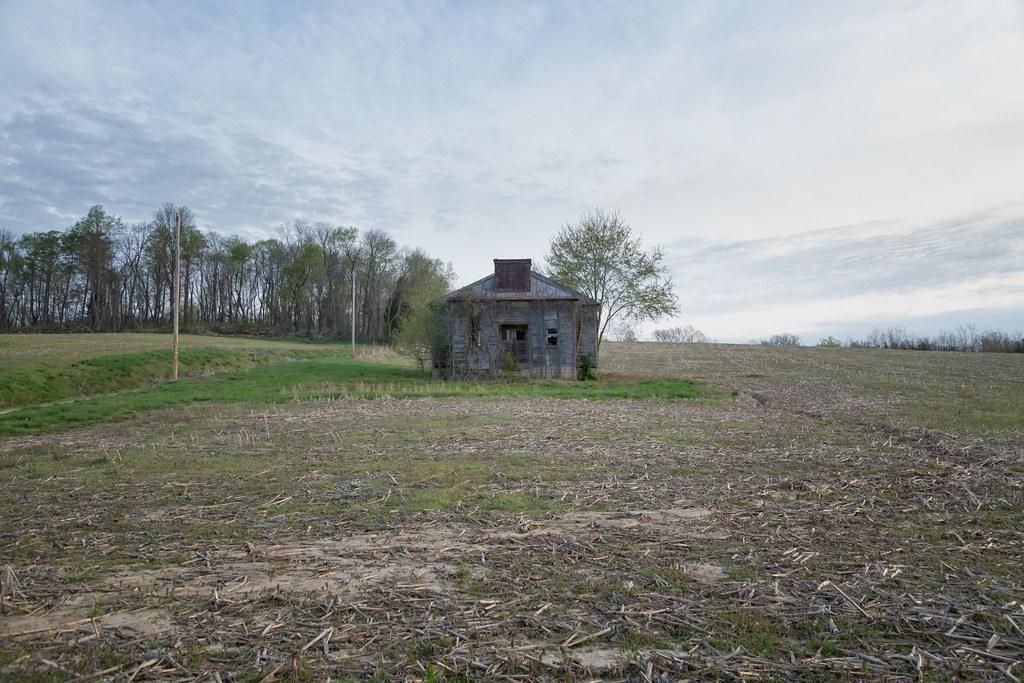
Abandoned Building
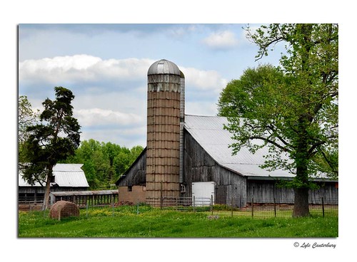
Quiet Farm
B&O Louisville Branch- North Vernon, Indiana
View from James Bridge, Jennings County, IN

James Covered Bridge
B&O Railroad Louisville Branch Walking trail- North Vernon, IN

Sandhill Pond

Autumn Pond

Looking for Moses 2

Through the trees

Coffee Creek
Untitled, Deputy, IN, April, 2014

Morning Shift

Tunnel Mill

Tunnel Mill

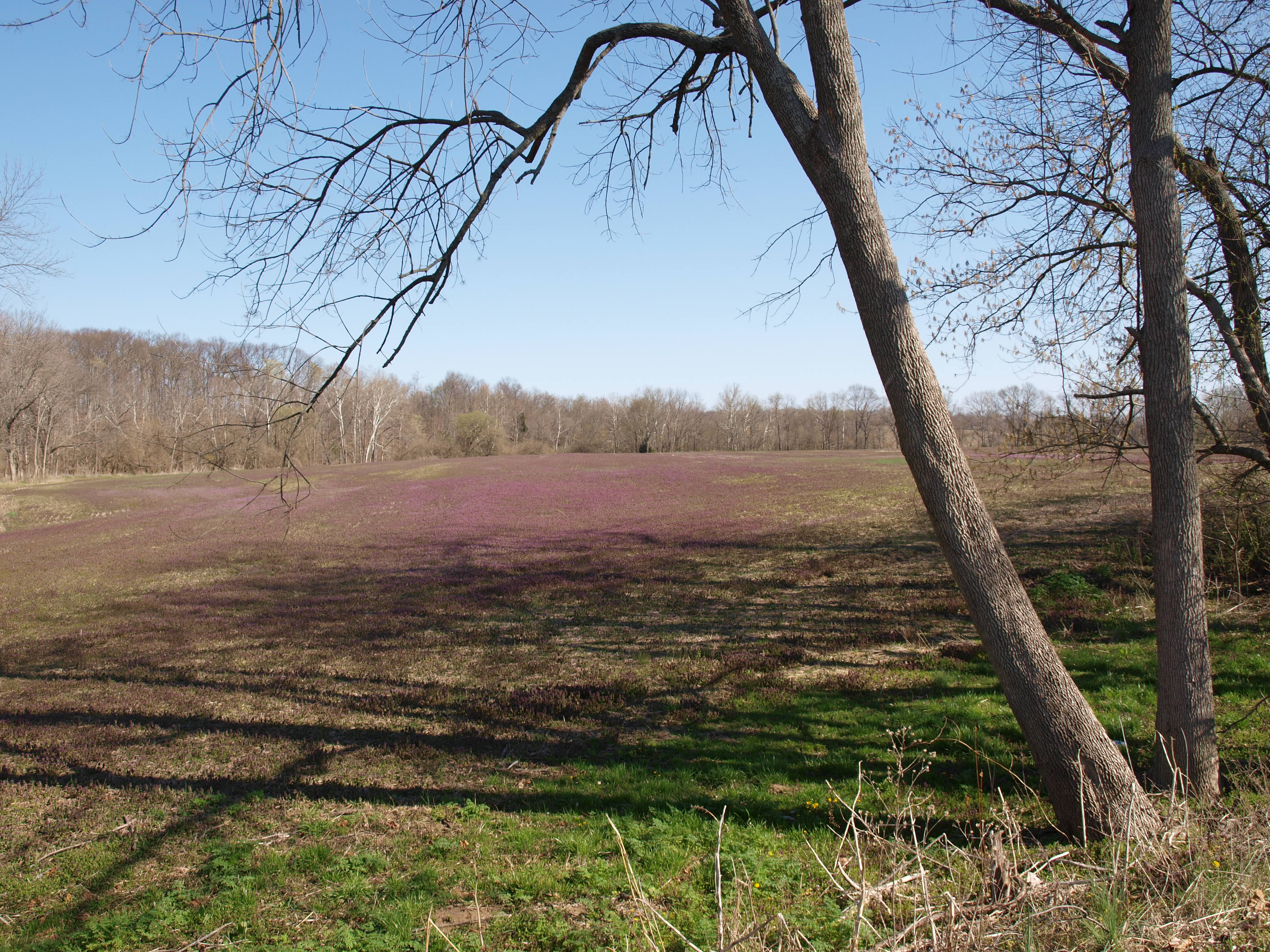
Marsh Magenta

Eastern Tiger Swallowtail

Tunnel Mill

Tunnel Mill
Topographic Map of Montgomery Township, IN, USA
Find elevation by address:

Places in Montgomery Township, IN, USA:
Places near Montgomery Township, IN, USA:
Commiskey
S by Field St, Commiskey, IN, USA
Paris Crossing
IN-, Paris Crossing, IN, USA
W Deputy Pike Rd, Deputy, IN, USA
Johnson Township
Dupont
N Reynolds Rd, Dupont, IN, USA
N Wooster Rd, Scottsburg, IN, USA
W Deputy Pike Rd, Madison, IN, USA
Lancaster Township
E Webster Rd, Lexington, IN, USA
287 Oakridge Dr
Smyrna Township
Jennings County
Republican Township
E Walnut St, North Vernon, IN, USA
North Vernon
W Foltz Rd, Dupont, IN, USA
Spencer Township
Recent Searches:
- Elevation of Village Point Dr, Daphne, AL, USA
- Elevation map of Kabardino-Balkarian Republic, Russia
- Elevation of Tyrnyauz, Kabardino-Balkarian Republic, Russia
- Elevation of Sunset Dr, Hernando, MS, USA
- Elevation of Lake Rotoroa, Tasman, New Zealand
- Elevation of George St, New Bern, NC, USA
- Elevation of Cove Rd, Jasper, GA, USA
- Elevation of Cove Rd, Jasper, GA, USA
- Elevation of South Yankee Meadow Road, Forest Road, Paragonah, UT, USA
- Elevation of SW Elderview Dr, Sherwood, OR, USA