Elevation of Monte Costone, Valbondione Province of Bergamo, Italy
Location: Italy > Lombardy > Province Of Bergamo > Valbondione >
Longitude: 10.091667
Latitude: 46.062222
Elevation: 2794m / 9167feet
Barometric Pressure: 72KPa
Elevation Map:
Satellite Map:
Related Photos:

Sunrise Val Brandet
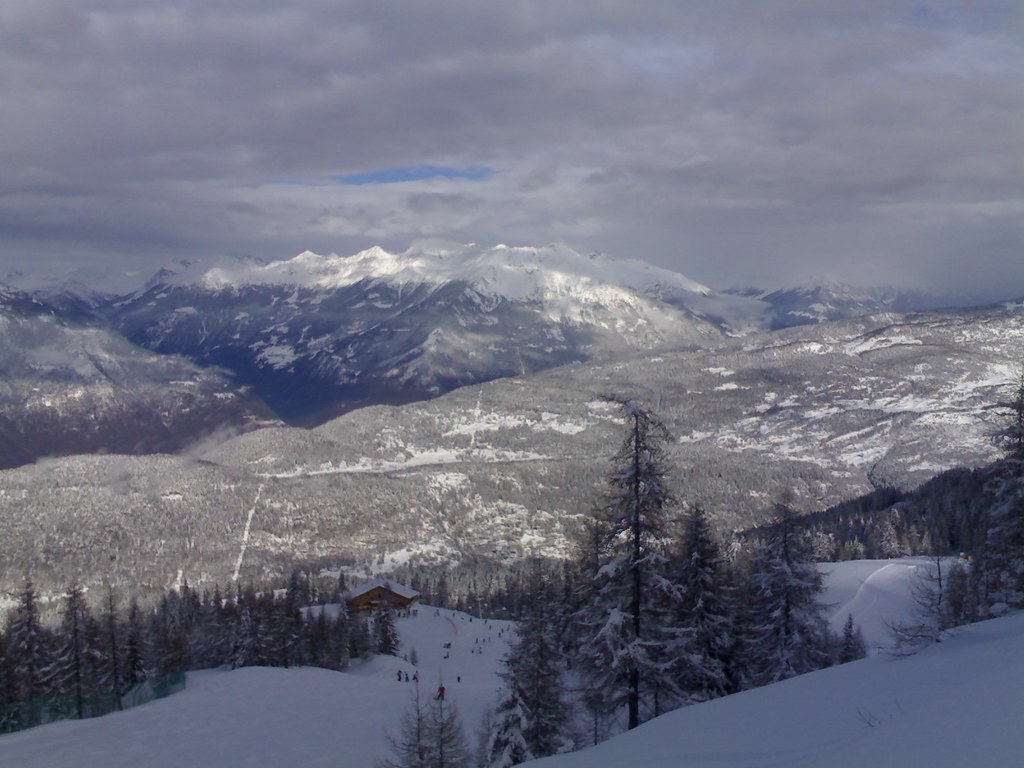
Panoramica in vetta
La Conca a 2016 m
Spiazzi di Gromo, 28 dicembre 2010
Thickening Clouds
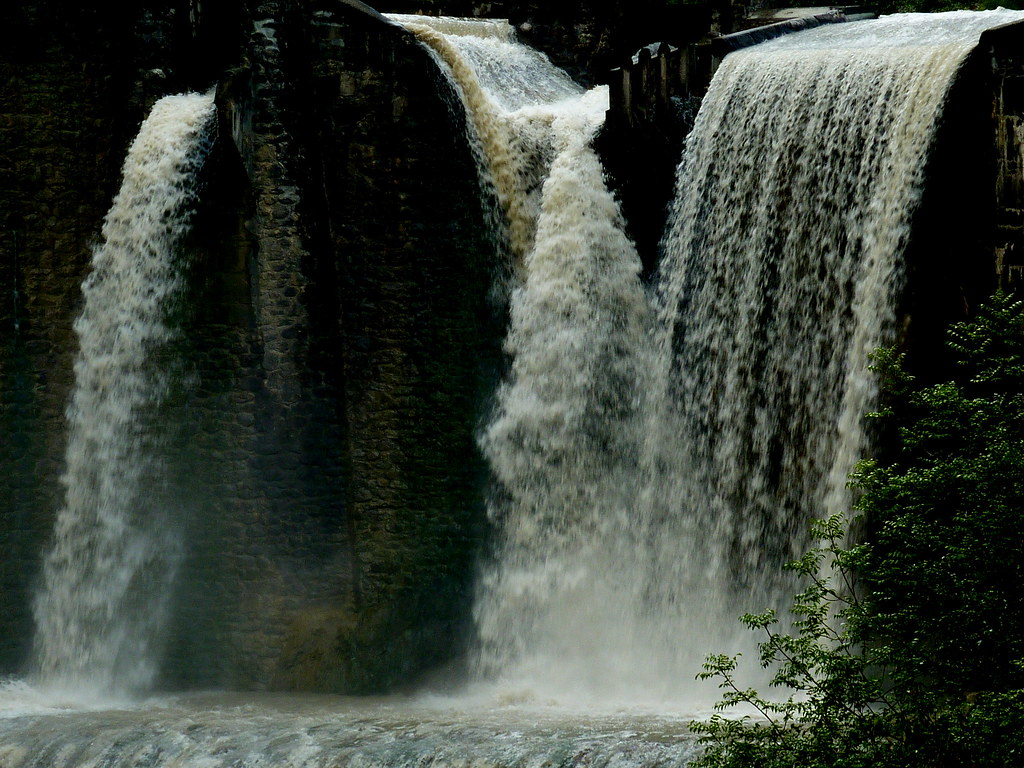
La cascata versione 2°

Waterfountain and Church

Passo di Belviso

view from the mount Torena Lakes
Una meraviglia!
Topographic Map of Monte Costone, Valbondione Province of Bergamo, Italy
Find elevation by address:

Places near Monte Costone, Valbondione Province of Bergamo, Italy:
Monte Trobio
Cime Di Caronella
Monte Torena
Pizzo Del Diavolo Della Malgina
Via da Vai, 9, Teglio SO, Italy
Caprinale-luscio
Piali-codurelli
Pizzo Redorta
Punta Scais
Aprica
Teglio
Via Casa Scranzi, 64, Teglio SO, Italy
Pizzo Di Rodes
Via Briotti, 51, Ponte in Valtellina SO, Italy
Briotti
Ponte In Valtellina
Via Panoramica, 4
Ponte In Valtellina
Via Ragno, Villa di Tirano SO, Italy
Tirano, Stazione
Recent Searches:
- Elevation of Corso Fratelli Cairoli, 35, Macerata MC, Italy
- Elevation of Tallevast Rd, Sarasota, FL, USA
- Elevation of 4th St E, Sonoma, CA, USA
- Elevation of Black Hollow Rd, Pennsdale, PA, USA
- Elevation of Oakland Ave, Williamsport, PA, USA
- Elevation of Pedrógão Grande, Portugal
- Elevation of Klee Dr, Martinsburg, WV, USA
- Elevation of Via Roma, Pieranica CR, Italy
- Elevation of Tavkvetili Mountain, Georgia
- Elevation of Hartfords Bluff Cir, Mt Pleasant, SC, USA