Elevation of Montague, TX, USA
Location: United States > Texas > Montague County >
Longitude: -97.720580
Latitude: 33.6649474
Elevation: 325m / 1066feet
Barometric Pressure: 97KPa
Elevation Map:
Satellite Map:
Related Photos:

Alley View Cool Signs Nocona Tx

Alley View 2 further out

Lodge Brothers
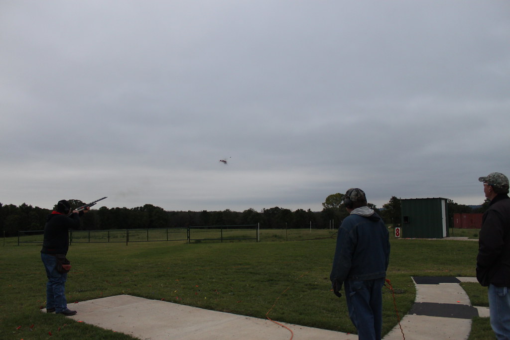
Last Shot
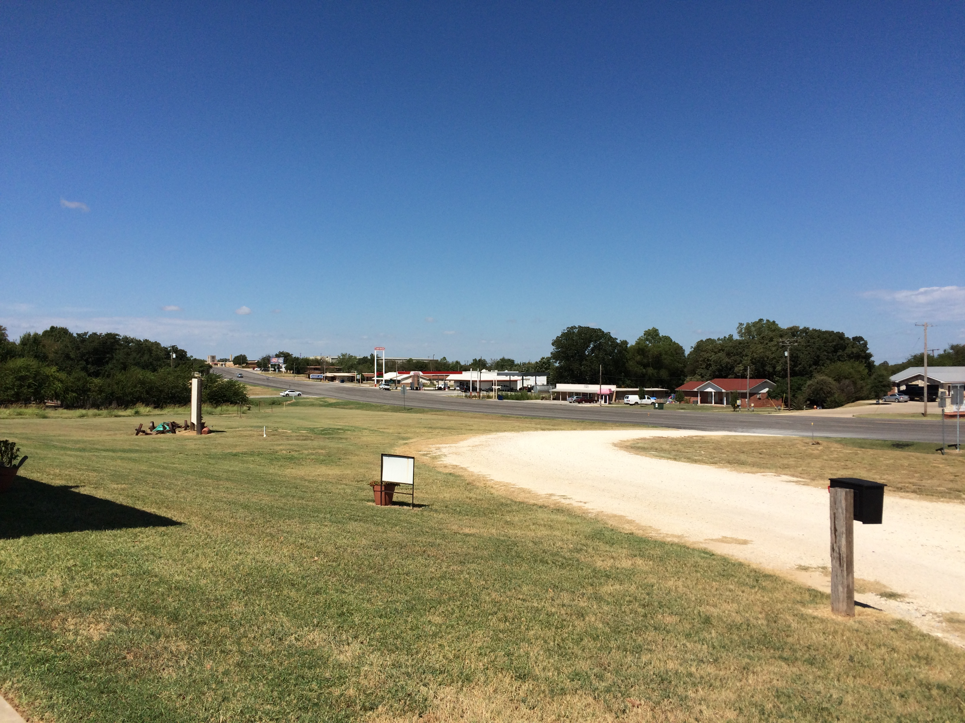
U.S. 82 Approaching Nocona Texas
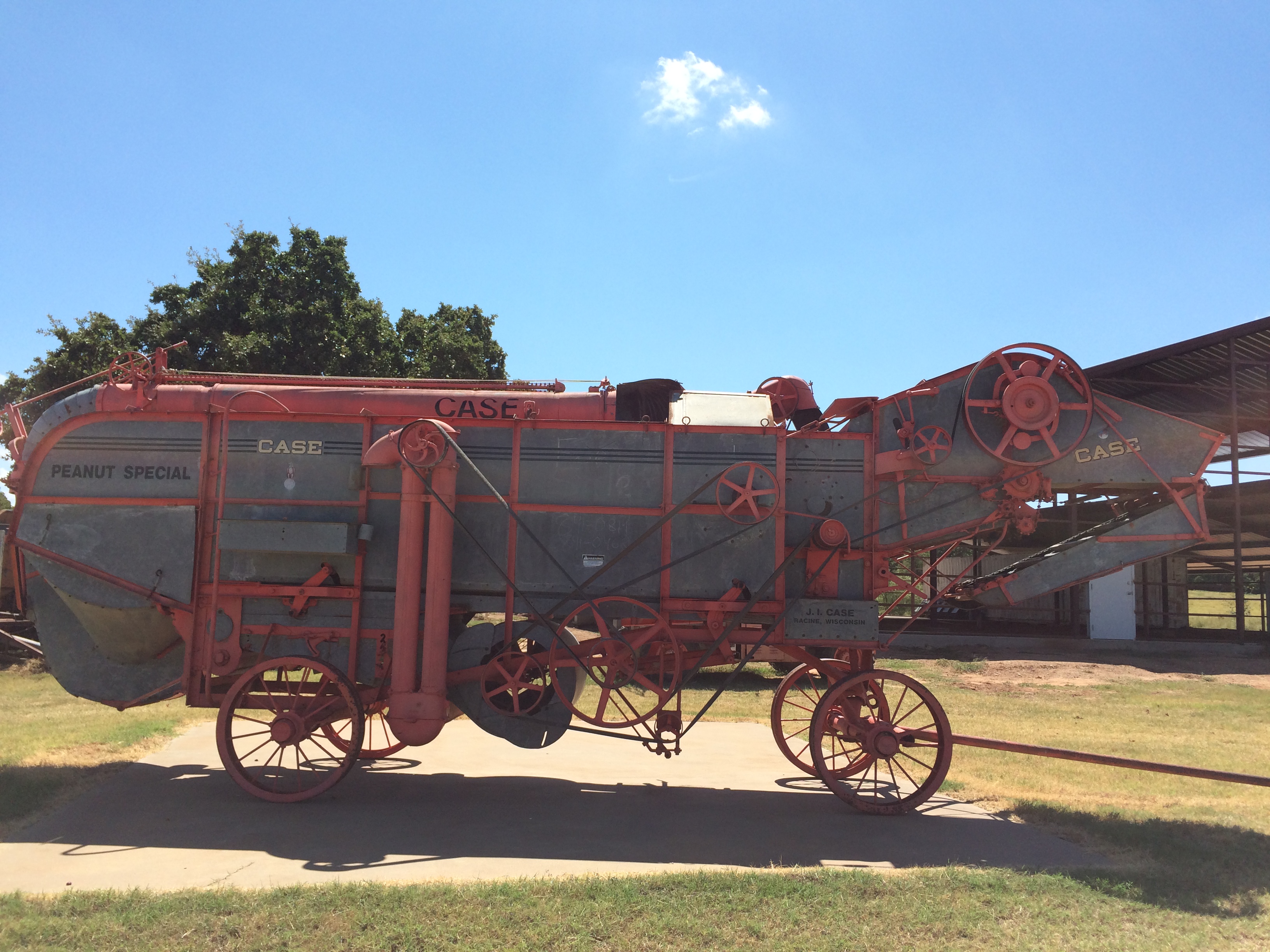
1938 Case Peanut Thresher
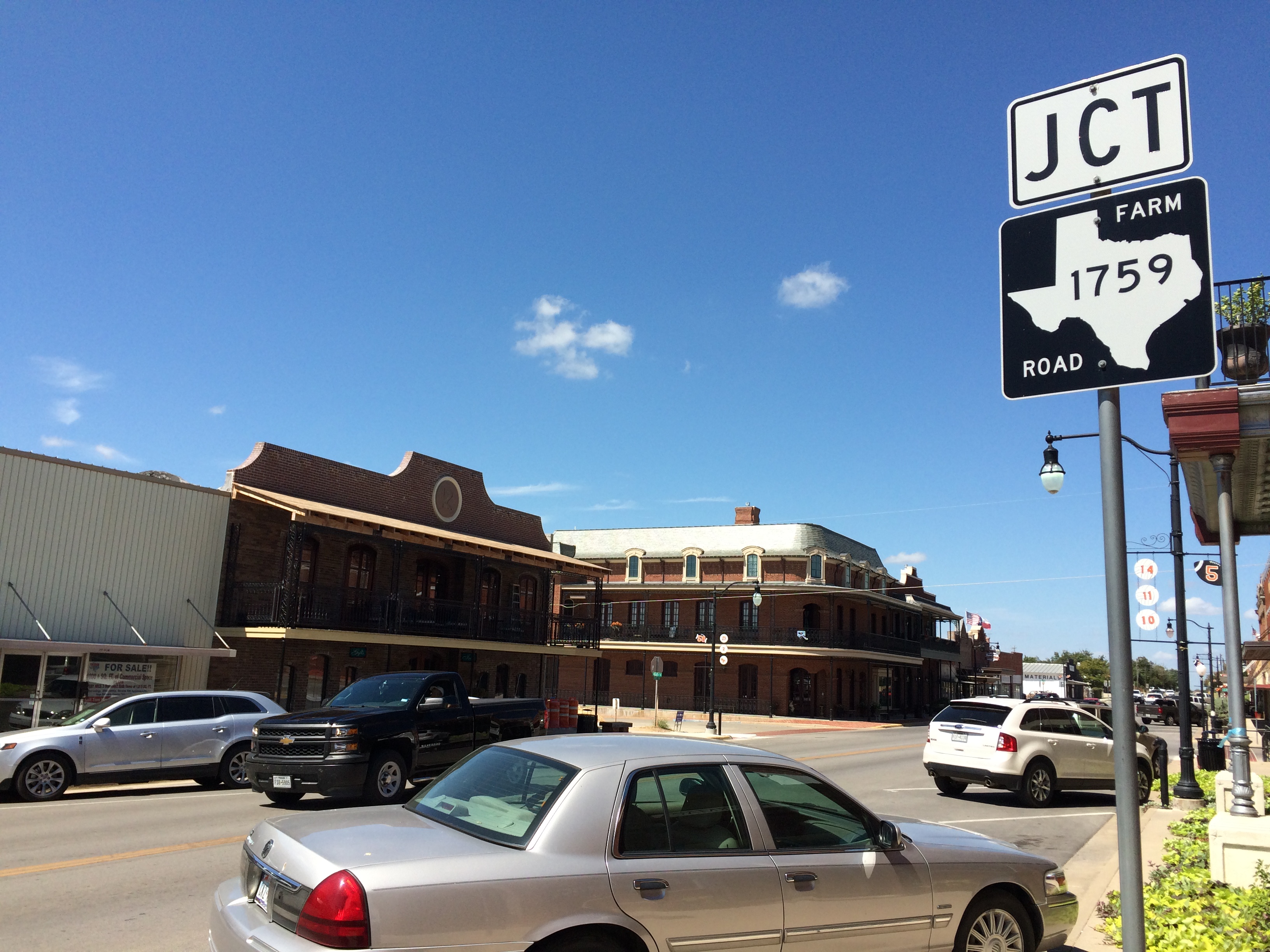
Nocona Texas
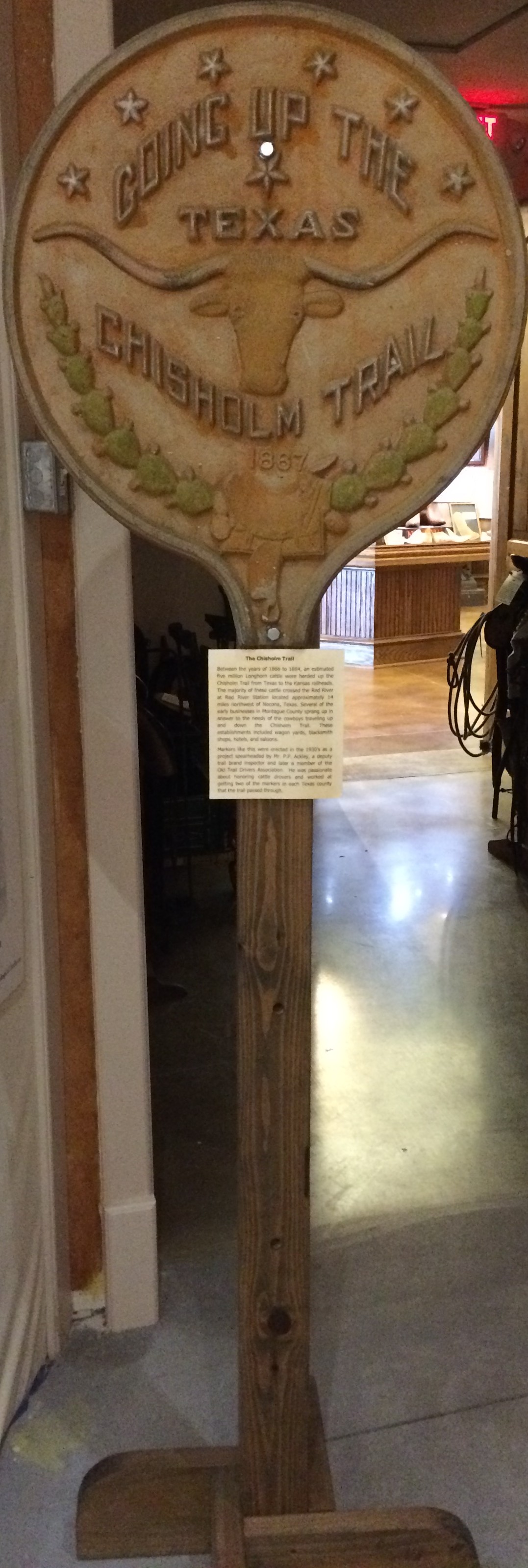
Going Up The Texas Chisholm Trail

Tales 'N' Trails Museum
Canon-32
Canon-30

Canon-29

Canon-24
Canon-17

Montague County Courthouse

Montague County Courthouse
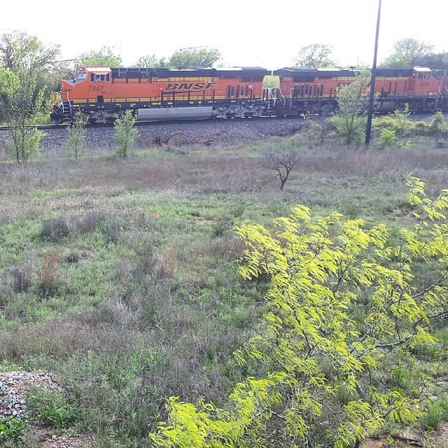
#BNSF 7947 Bowie, TX
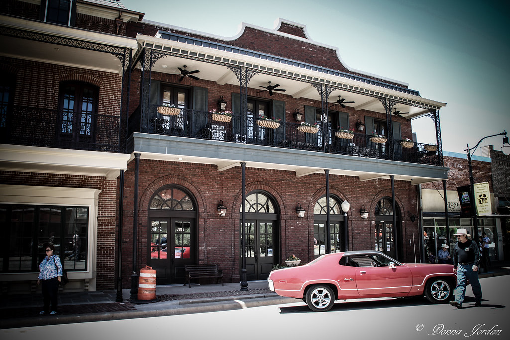
New Orleans-esque 2
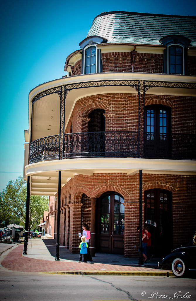
New Orleans-esque

Montague - Montague

Coke and a Smile

Chevrolet Corvette
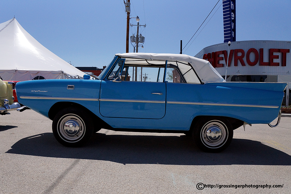
Nocona Texas Classic Cars
Topographic Map of Montague, TX, USA
Find elevation by address:

Places in Montague, TX, USA:
Places near Montague, TX, USA:
Franklin St, Montague, TX, USA
Montague County
2888 Fm3206
2888 Fm3206
2888 Fm3206
2888 Fm3206
2888 Fm3206
2888 Fm3206
Independence Hall
Bowie
TX-, Bowie, TX, USA
Saint Jo
Forestburg
Sunset
Blake Brothers Ranch
452 Ranchview Ct
Bellevue
Alvord
US- BUS, Alvord, TX, USA
FM, Bellevue, TX, USA
Recent Searches:
- Elevation of Corso Fratelli Cairoli, 35, Macerata MC, Italy
- Elevation of Tallevast Rd, Sarasota, FL, USA
- Elevation of 4th St E, Sonoma, CA, USA
- Elevation of Black Hollow Rd, Pennsdale, PA, USA
- Elevation of Oakland Ave, Williamsport, PA, USA
- Elevation of Pedrógão Grande, Portugal
- Elevation of Klee Dr, Martinsburg, WV, USA
- Elevation of Via Roma, Pieranica CR, Italy
- Elevation of Tavkvetili Mountain, Georgia
- Elevation of Hartfords Bluff Cir, Mt Pleasant, SC, USA