Elevation of Mont, France
Location: France > Pyrénées-atlantiques >
Longitude: -0.65154
Latitude: 43.433921
Elevation: 115m / 377feet
Barometric Pressure: 100KPa
Elevation Map:
Satellite Map:
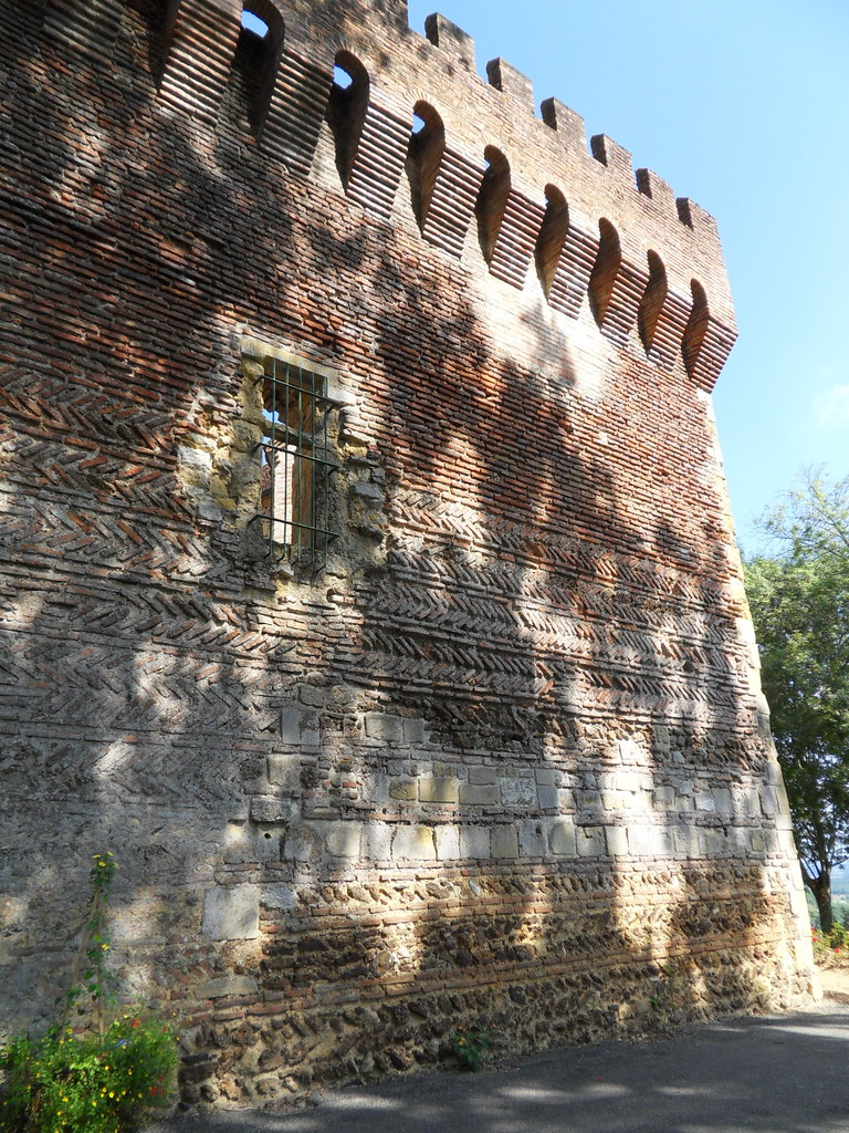
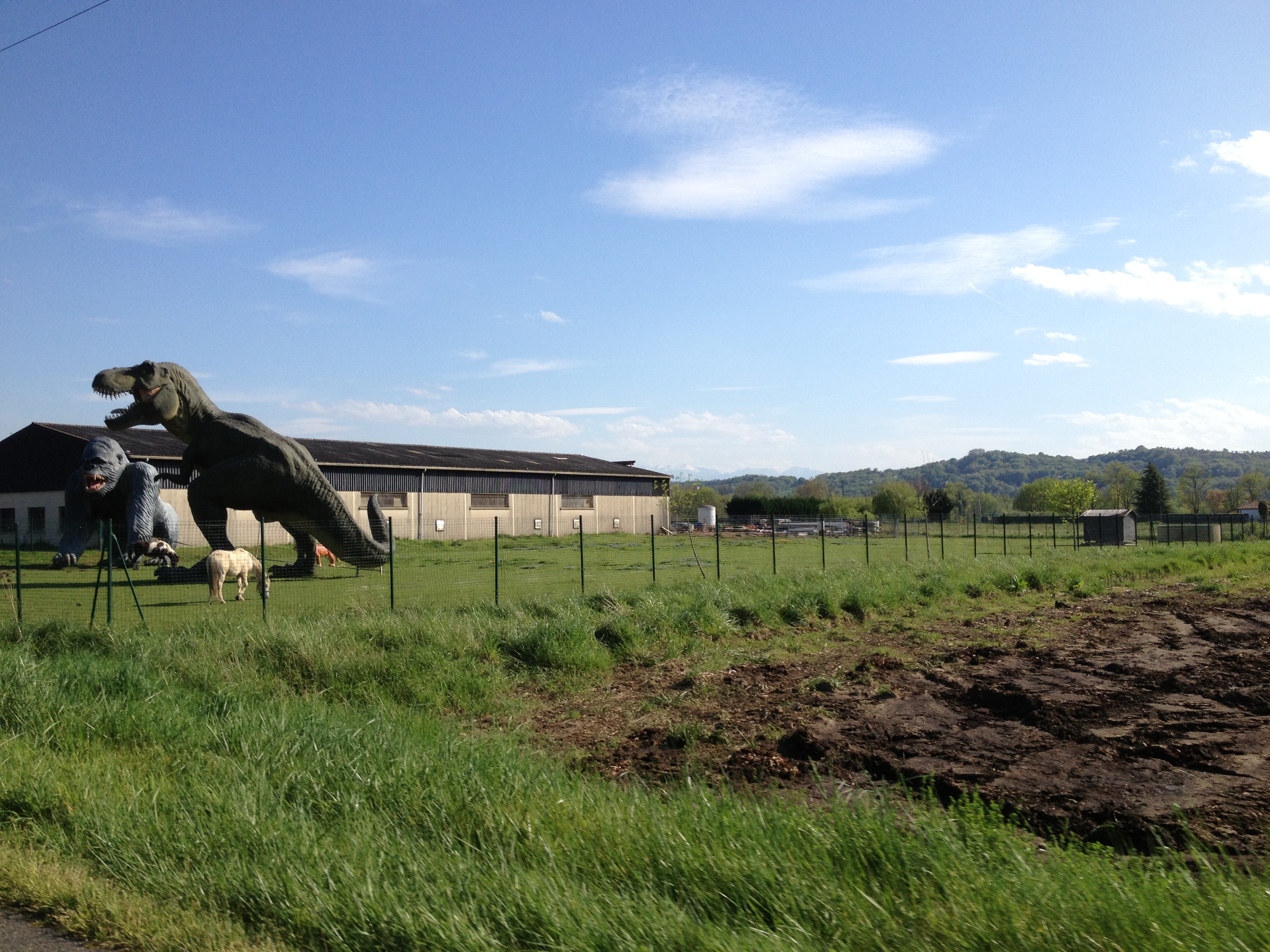
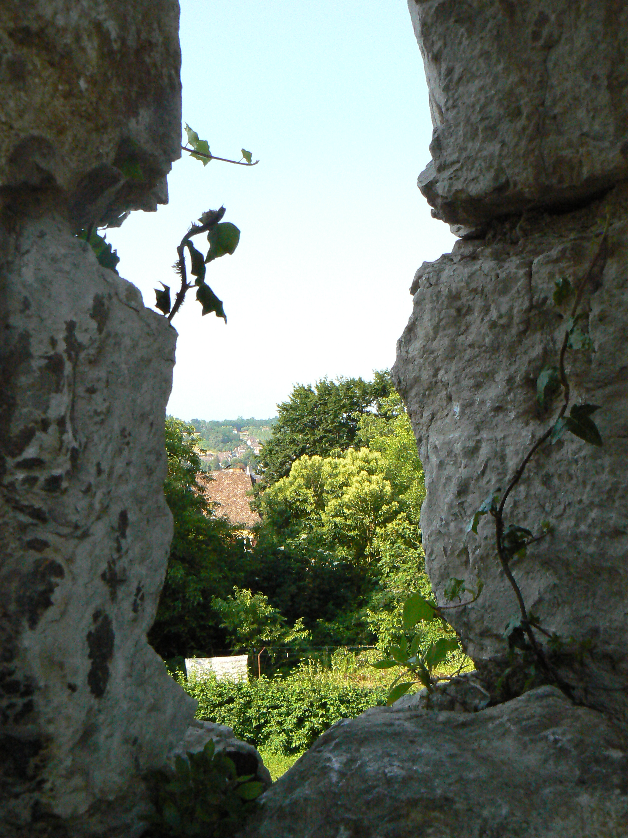
Related Photos:

punti di vista
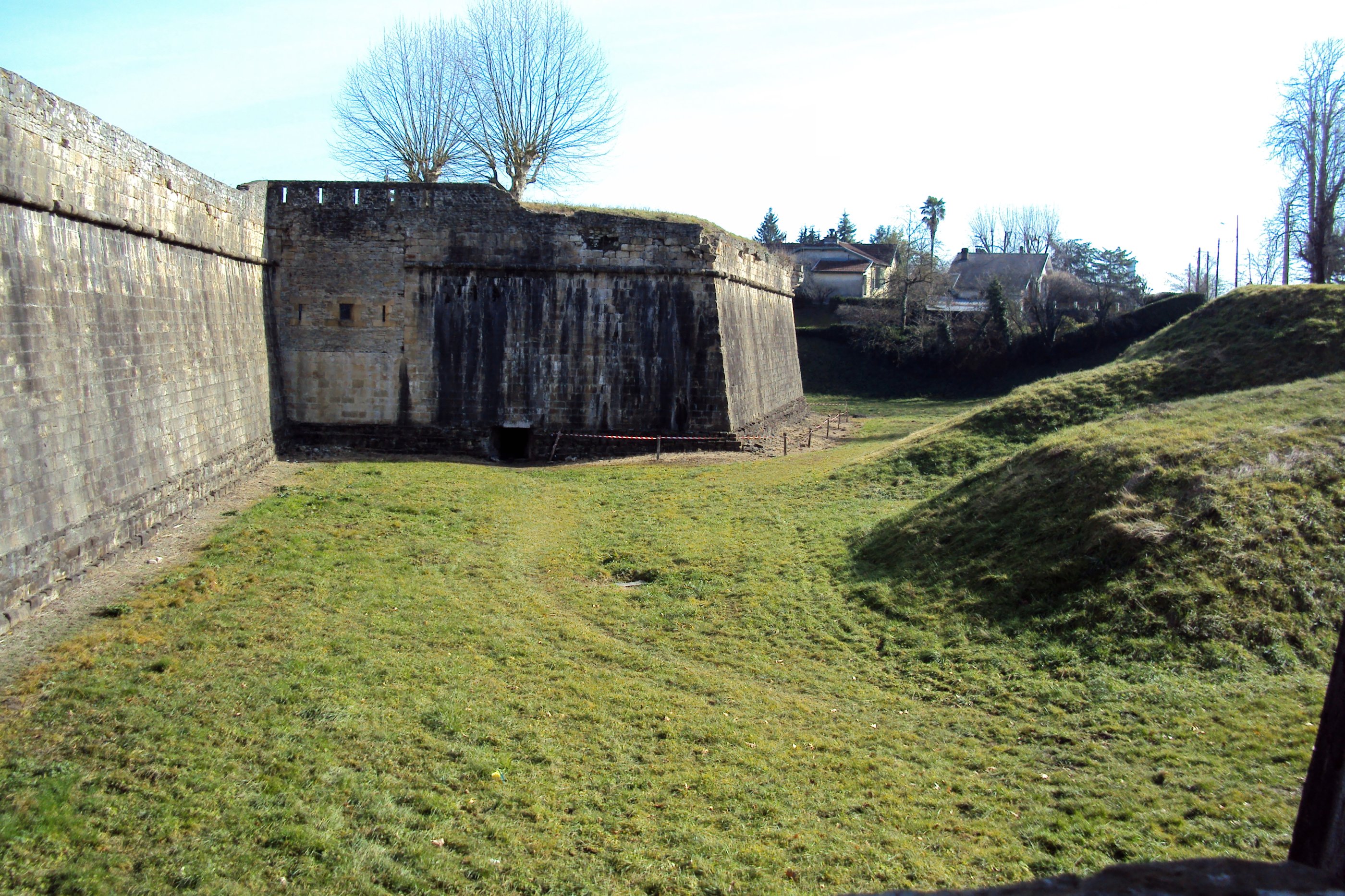
Navarrenx - 11
Le trône du roi
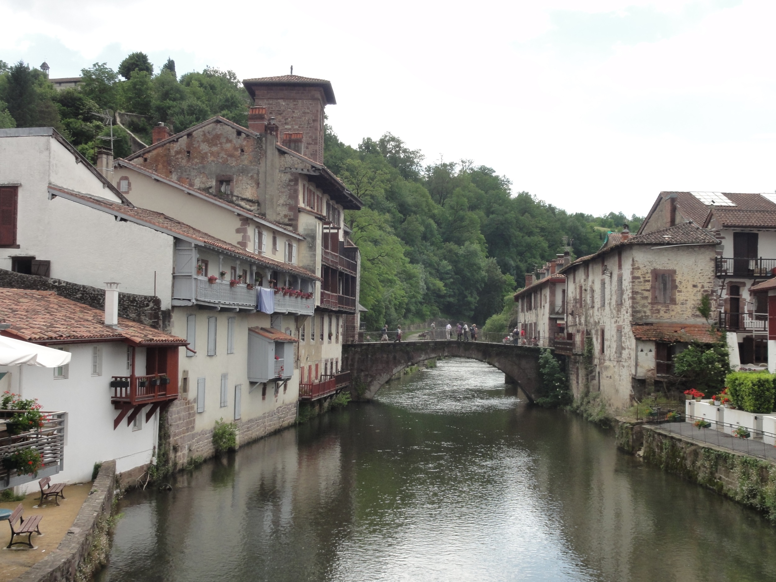
St. Jean Pied de Port

Añadido recientemente-165
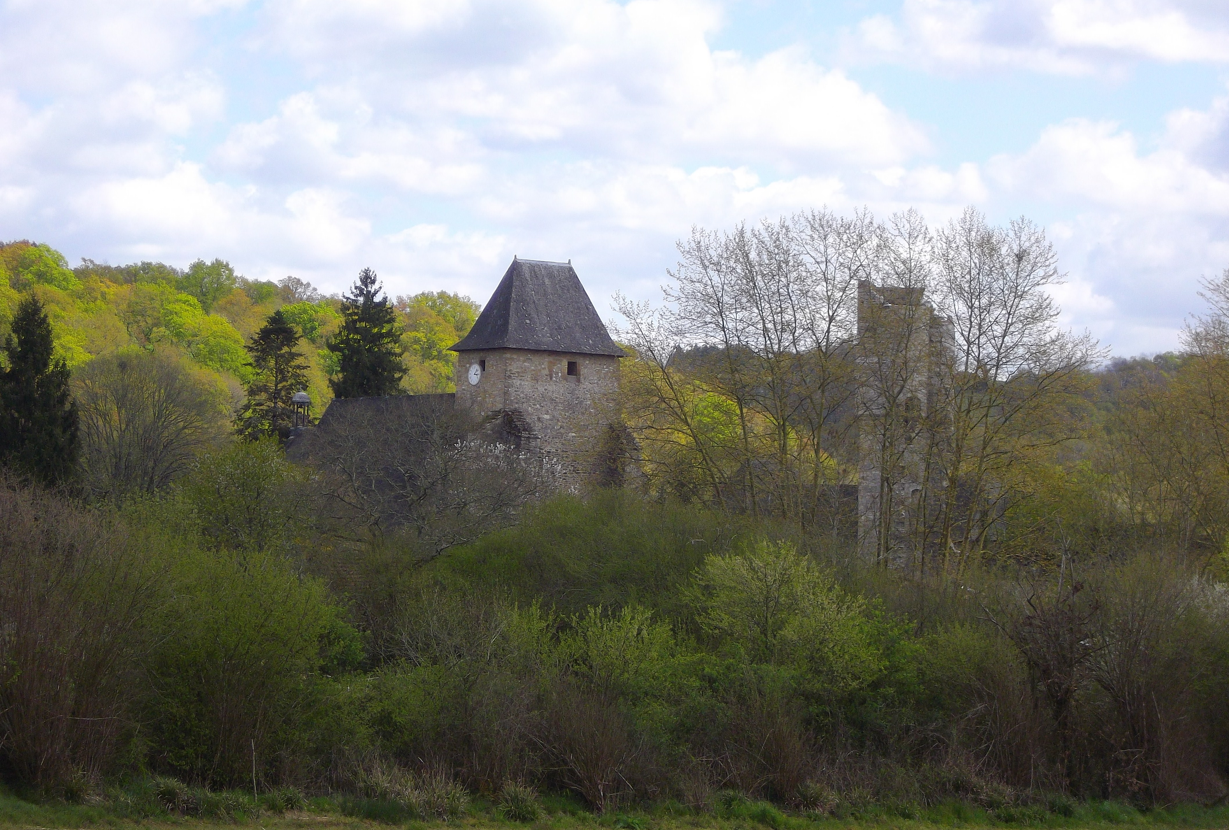
Lucq-de-Béarn, Pyrénées Atlantiques, Aquitaine, France.
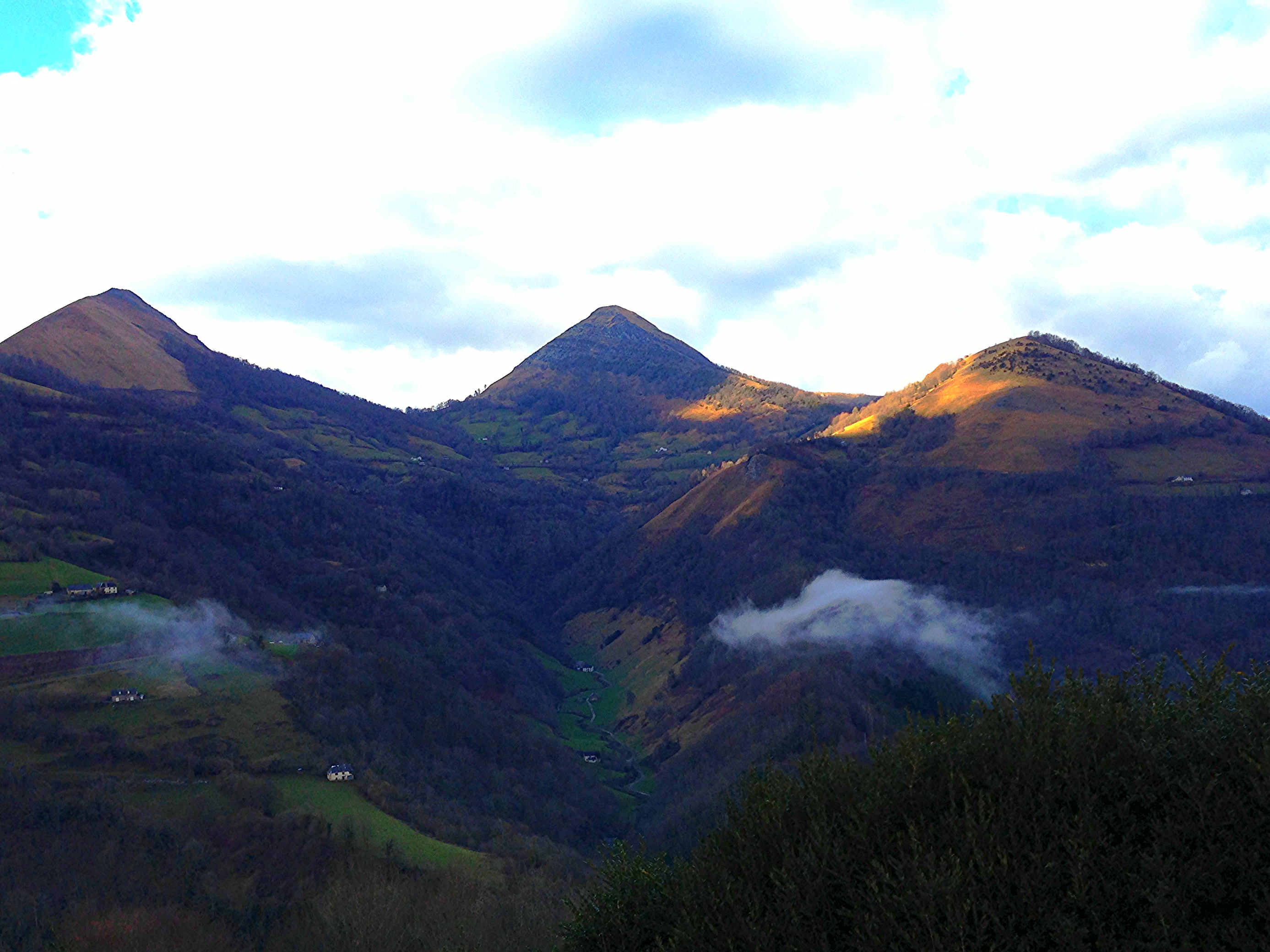
lassù qualcuno sognava

Todo lo importado-429

Water drops
2013-04-15 17.30.35

Todo lo importado-409
Trees.

Todo lo importado-400

Carrete-99
Quelque part . . . .
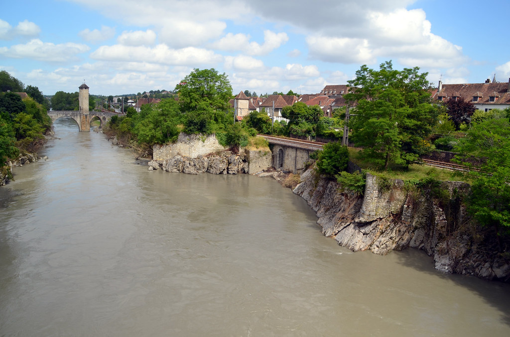
005-Orthez-001

Todo lo importado-388
L'arbre qui veille sur Monein / The tree that watches over Monein

Vue aérienne du Château de Morlanne
2013-04-19 13.45.07

Carrete-104

Carrete-109
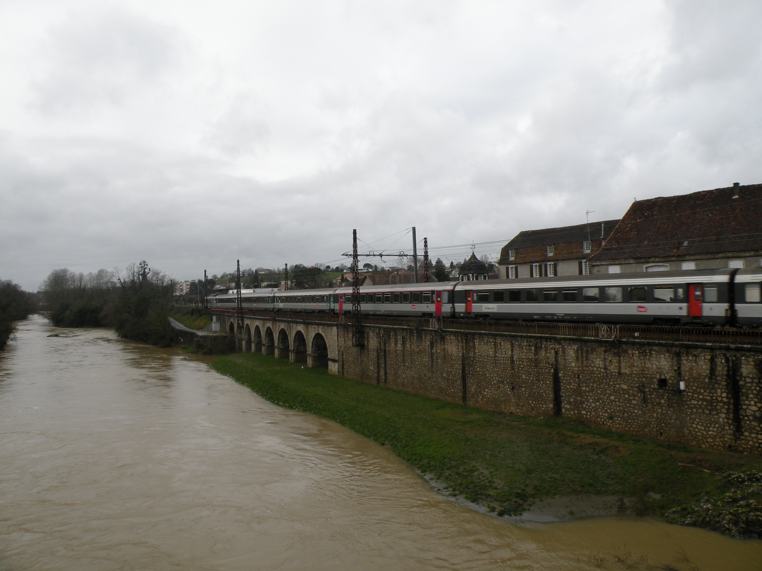
Gave de Pau à Orthez janvier 2013 (8)
Topographic Map of Mont, France
Find elevation by address:

Places in Mont, France:
Places near Mont, France:
11 Rue du Vieux Mont, Mont, France
Chemin de Moulia, Sault-de-Navailles, France
Sault-de-navailles
Rue de France, Sault-de-Navailles, France
Orthez
4 Avenue du Maréchal de Lattre de Tassigny, Orthez, France
Pyrénées-atlantiques
36 Route des crêtes, Cescau, France
Cescau
12 Quartier Bererenx, Navarrenx, France
Navarrenx
Bonnut
85 Rue du Bourg, Lanneplaà, France
Lanneplaà
821 Route Des Landes
Susmiou
26 Rue de la Mairie, Susmiou, France
Amou
Monget
4 Route de Peyre, Monget, France
Recent Searches:
- Elevation of Warwick, RI, USA
- Elevation of Fern Rd, Whitmore, CA, USA
- Elevation of 62 Abbey St, Marshfield, MA, USA
- Elevation of Fernwood, Bradenton, FL, USA
- Elevation of Felindre, Swansea SA5 7LU, UK
- Elevation of Leyte Industrial Development Estate, Isabel, Leyte, Philippines
- Elevation of W Granada St, Tampa, FL, USA
- Elevation of Pykes Down, Ivybridge PL21 0BY, UK
- Elevation of Jalan Senandin, Lutong, Miri, Sarawak, Malaysia
- Elevation of Bilohirs'k