Elevation of Montée Boyer, Mont-Laurier, QC J9L 3G6, Canada
Location: Canada > Québec > Antoine-labelle Regional County Municipality > Mont-laurier >
Longitude: -75.706931
Latitude: 46.6044408
Elevation: 262m / 860feet
Barometric Pressure: 98KPa
Elevation Map:
Satellite Map:
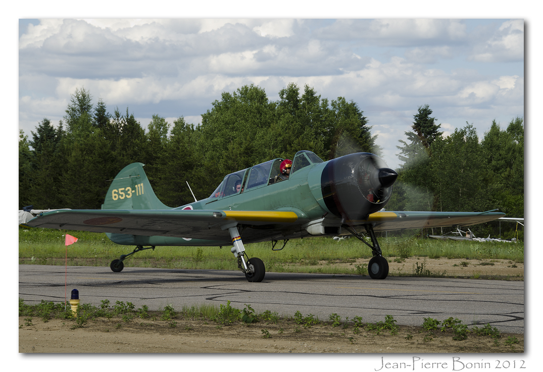
Related Photos:

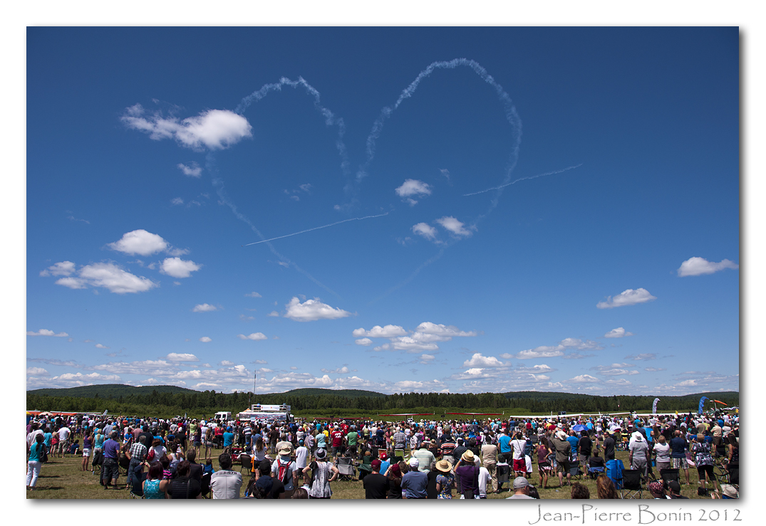
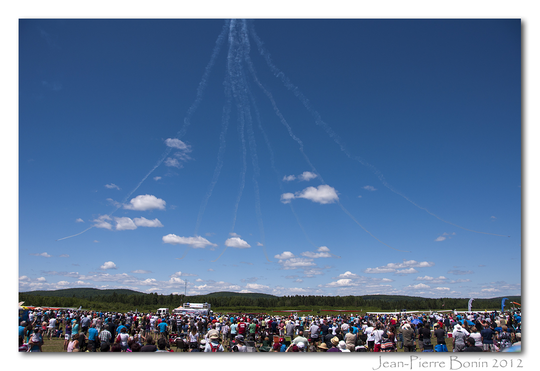
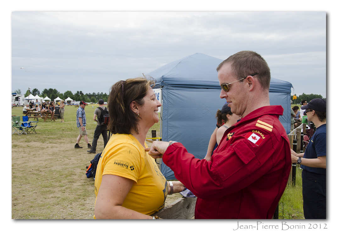
Un succès populaire - Attendance success DSC_7952 copie
Nicolas Aubry, photographe DSC_7026 copie
Hélène DSC_7115 copie
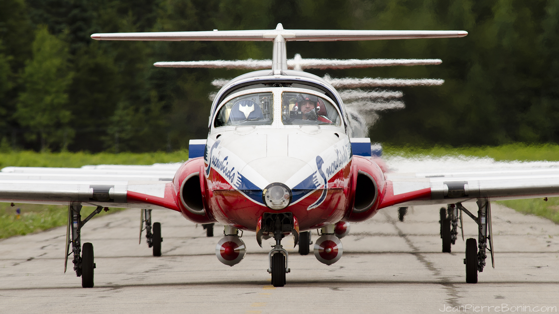
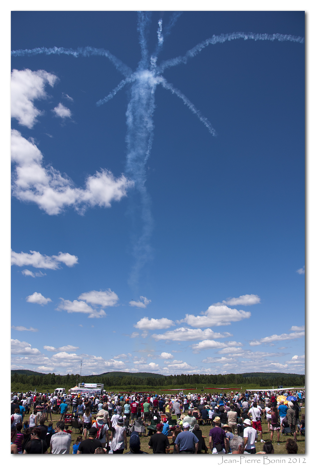
1920x1080 snowbirds

Louwis & Mawie_DSC3195 copie
_DSC3161 copie
Va-t-on l'éviter? DSC_9403 copie

_DSC3174 copie

2560x1600 snowbirds
_DSC3339 copie
_DSC3170 copie

Stemme S10-VT sn : 11-113 2007 _DSC3132 copie
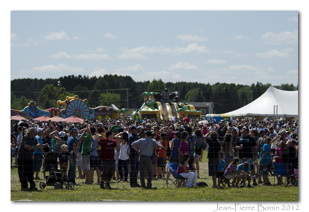
Un succès populaire - Attendance success DSC_8017 copie

Merci Snowbirds et bénévoles - Thanks Snowbirds and volunteers DSC_9582 copie
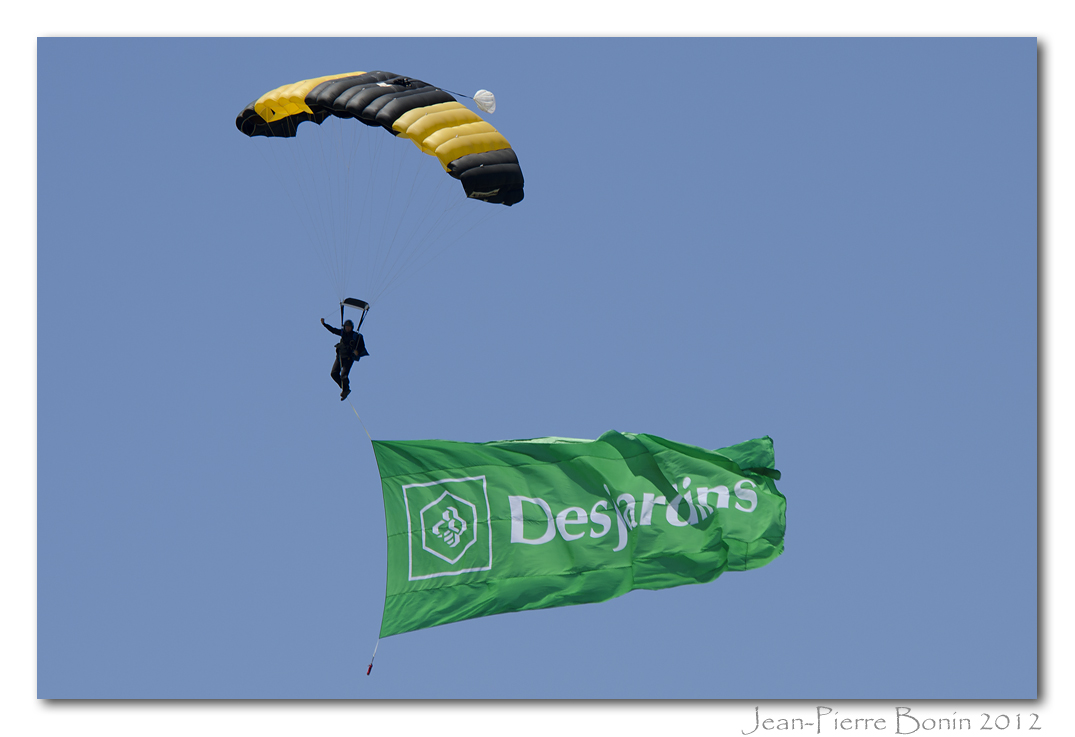
Merci à la Caisse Desjardins de Mont-Laurier, commanditaire principal DSC_7588 copie
_DSC3326 copie
Charlie Lynch, pilote & représentant des média DSC_7169 copie
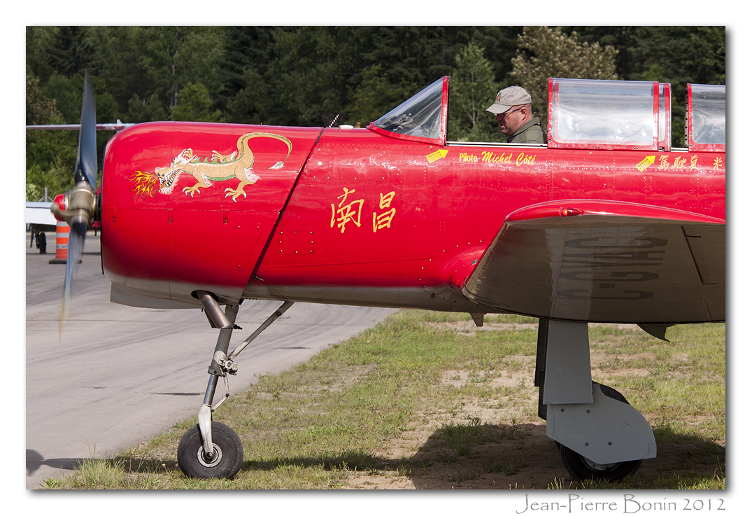
C-GYAC Nanchang CJ6A SN 1232028 (1965) _DSC3125 copie
Merci Snowbirds et bénévoles - Thanks Snowbirds and volunteers DSC_9580 copie
_DSC3355 copie
Snowbird fan DSC_9422 copie

Marais - Marsh DSC_6066 copie
Topographic Map of Montée Boyer, Mont-Laurier, QC J9L 3G6, Canada
Find elevation by address:

Places near Montée Boyer, Mont-Laurier, QC J9L 3G6, Canada:
Chemin De Val Limoges
Chemin De Val Limoges
3195 Boulevard Des Ruisseaux
172 Chemin Daoust
172 Chemin Daoust
302 Rue Éléodore-langevin
Aumond
60 Chemin Tourangeau
Grand-remous
Chemin Nibi
301 Chemin De La Traverse
Chemin Du Lac Nadeau
Gite At The Foot Of The Current
Rue Chasles, Mont-Laurier, QC J9L 3N6, Canada
Mont-laurier
1131 Chemin De La Vallée à Josaphat
1131 Chemin De La Vallée à Josaphat
Aumond
Ferme-neuve
Rue Plaisanciers, Ferme-Neuve, QC J0W, Canada
Recent Searches:
- Elevation of Hercules Dr, Colorado Springs, CO, USA
- Elevation of Szlak pieszy czarny, Poland
- Elevation of Griffing Blvd, Biscayne Park, FL, USA
- Elevation of Kreuzburger Weg 13, Düsseldorf, Germany
- Elevation of Gateway Blvd SE, Canton, OH, USA
- Elevation of East W.T. Harris Boulevard, E W.T. Harris Blvd, Charlotte, NC, USA
- Elevation of West Sugar Creek, Charlotte, NC, USA
- Elevation of Wayland, NY, USA
- Elevation of Steadfast Ct, Daphne, AL, USA
- Elevation of Lagasgasan, X+CQH, Tiaong, Quezon, Philippines