Elevation of Mongla, Bangladesh
Location: Bangladesh > Khulna Division > Bagerhat District >
Longitude: 89.6016171
Latitude: 22.4942196
Elevation: 5m / 16feet
Barometric Pressure: 101KPa
Elevation Map:
Satellite Map:
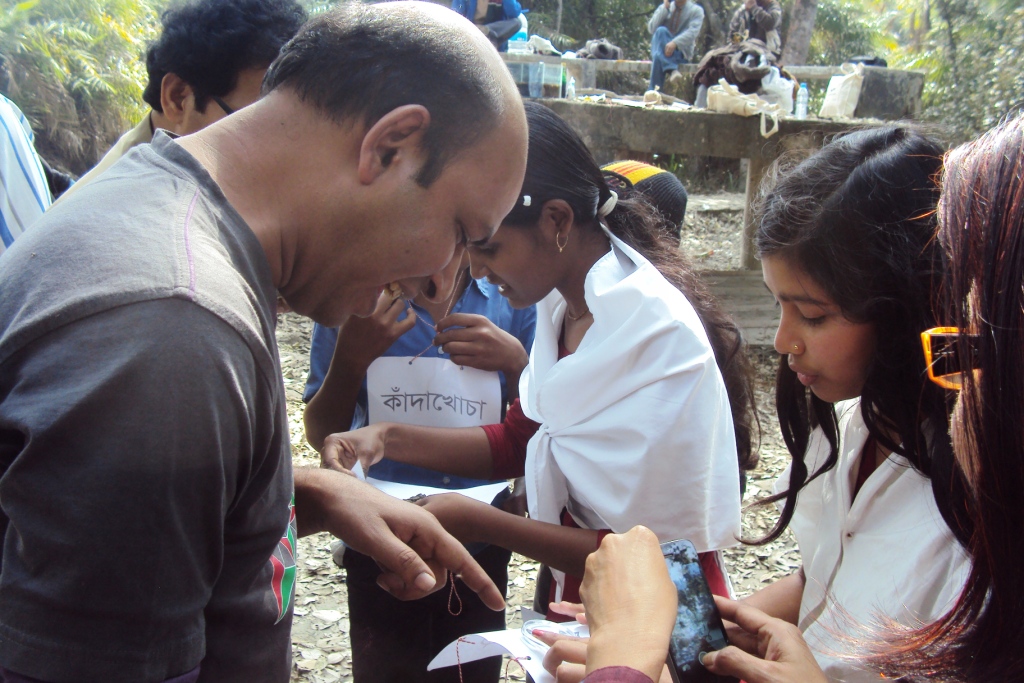
Related Photos:
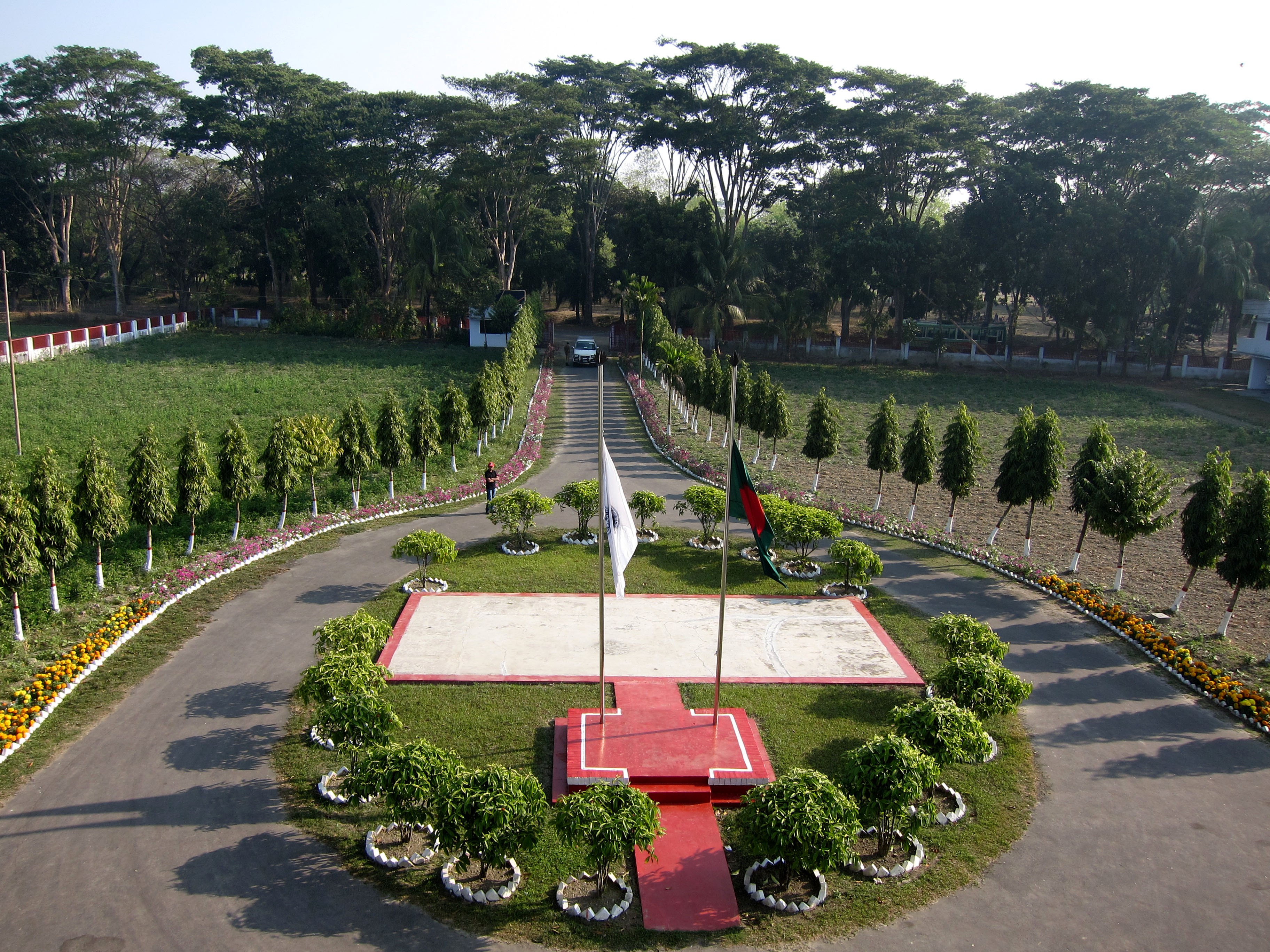
View of Parijat Guest house, Mongla
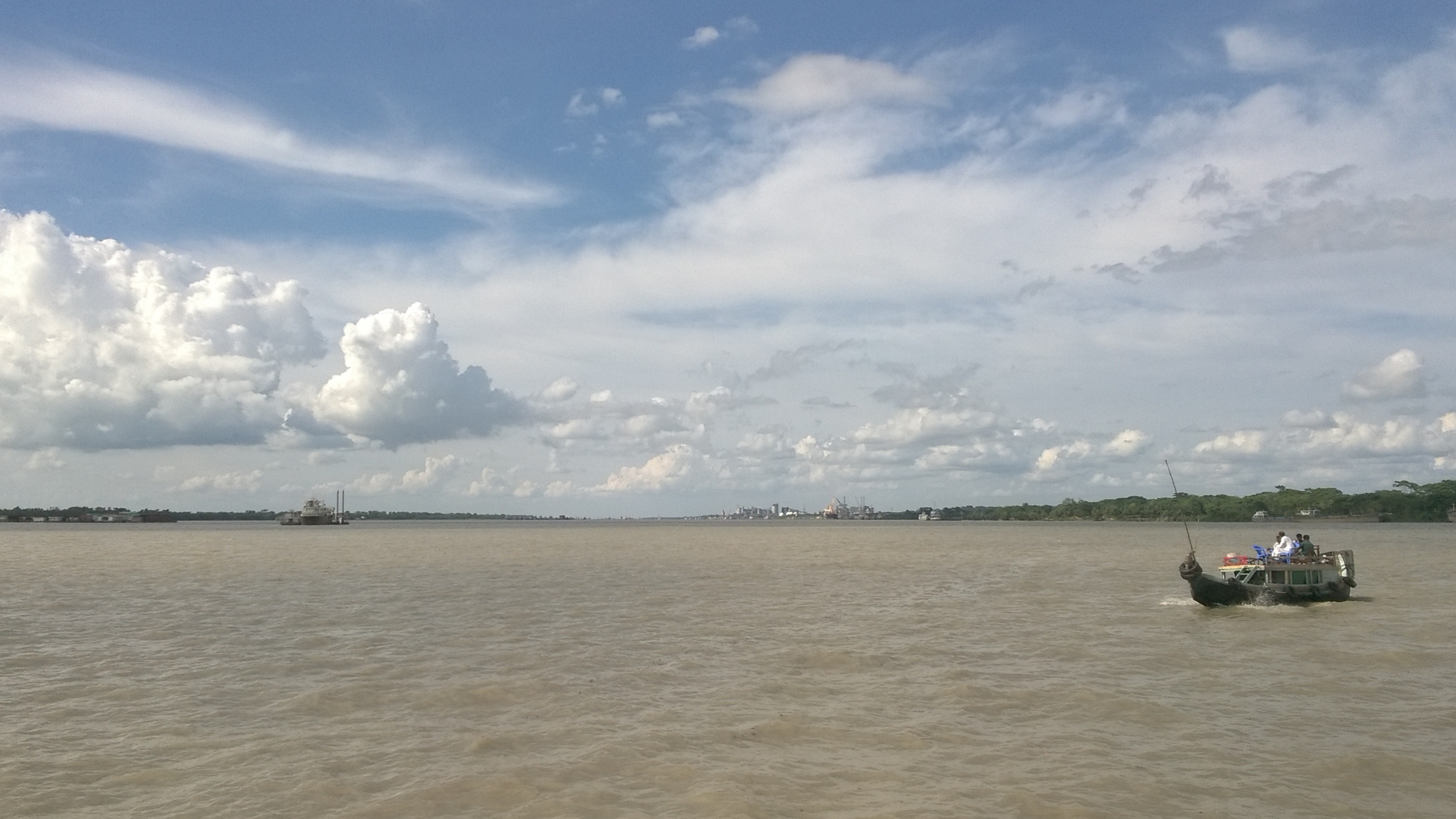
Sundarban Trip 2016
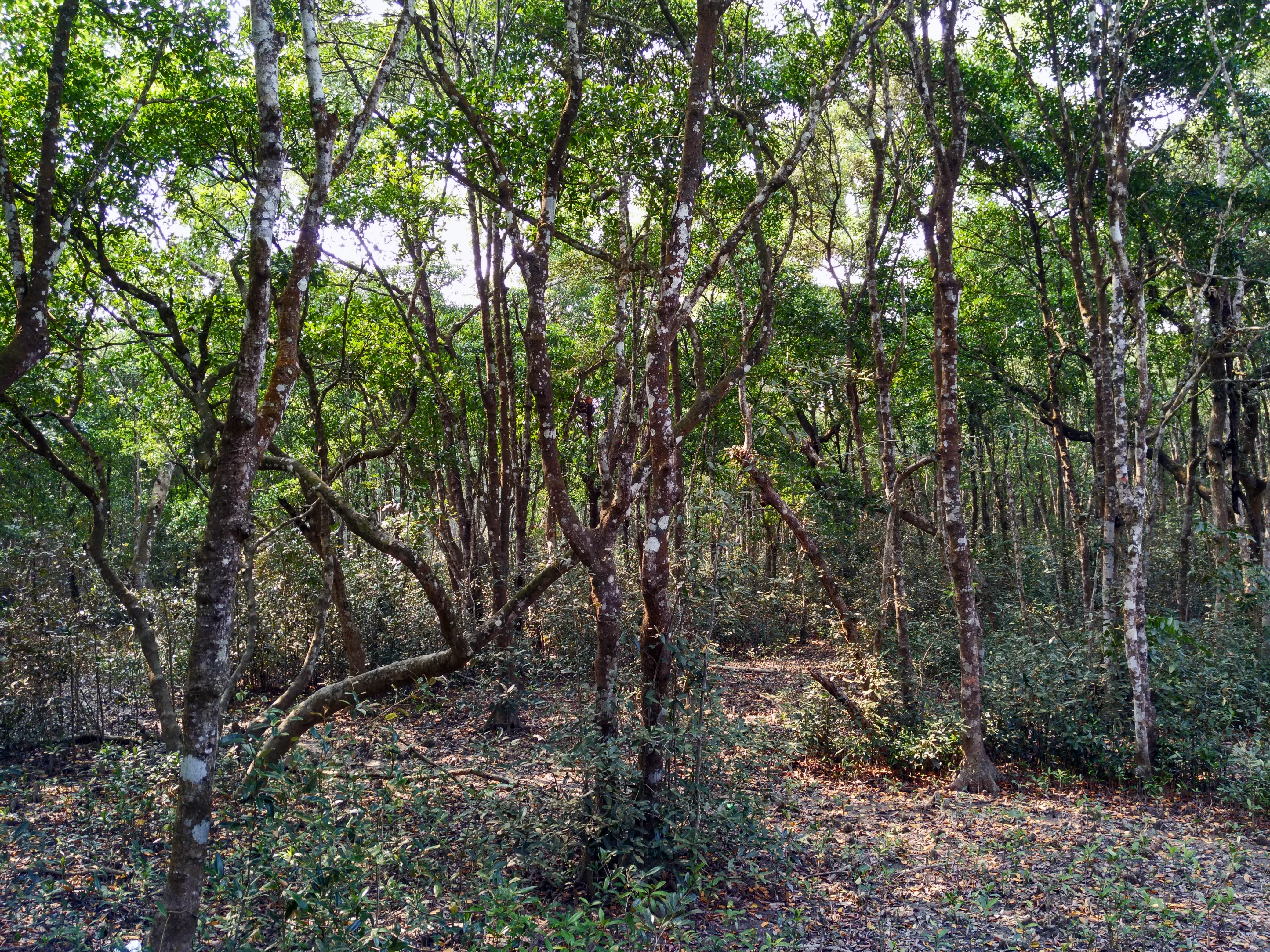
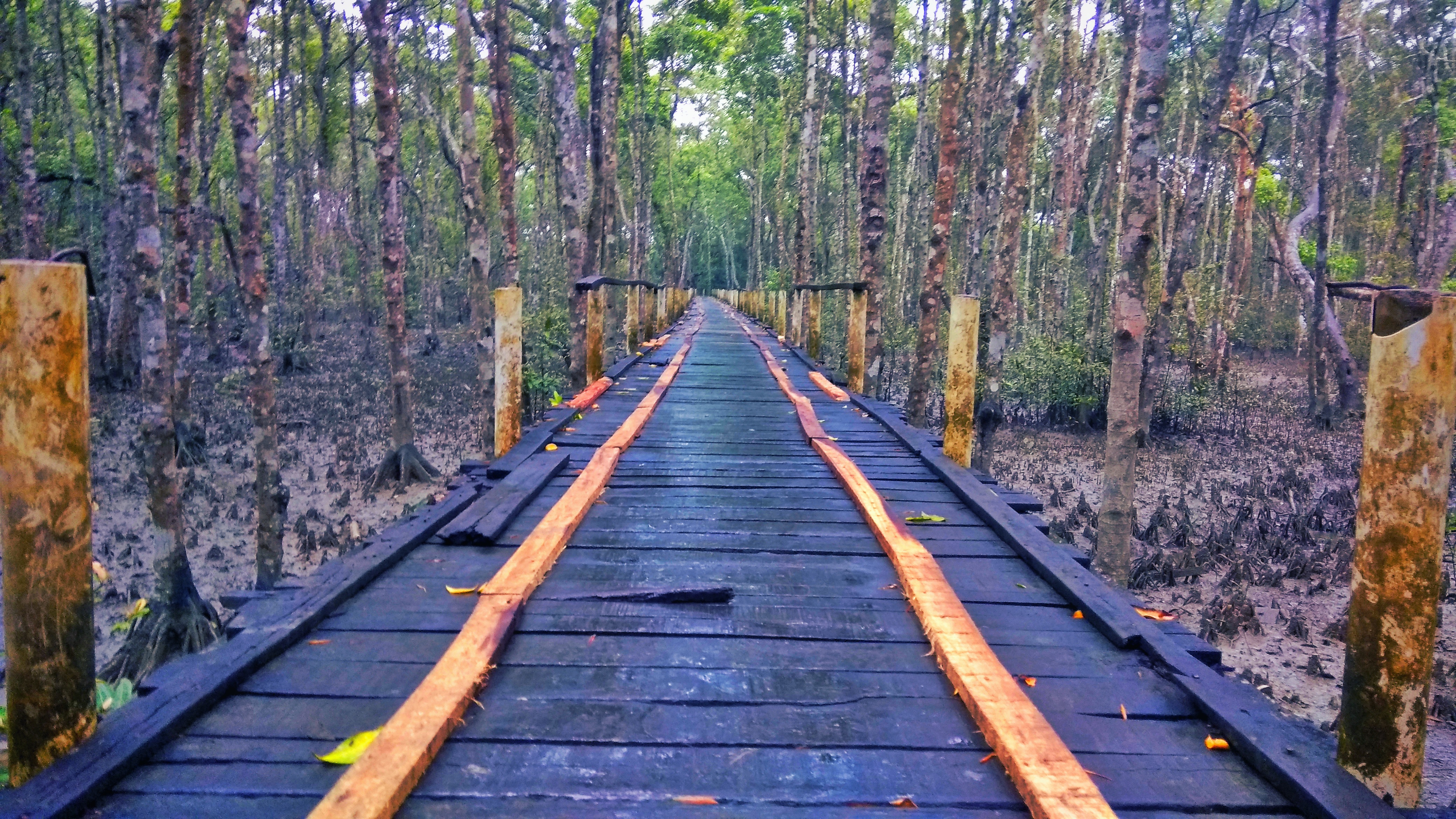
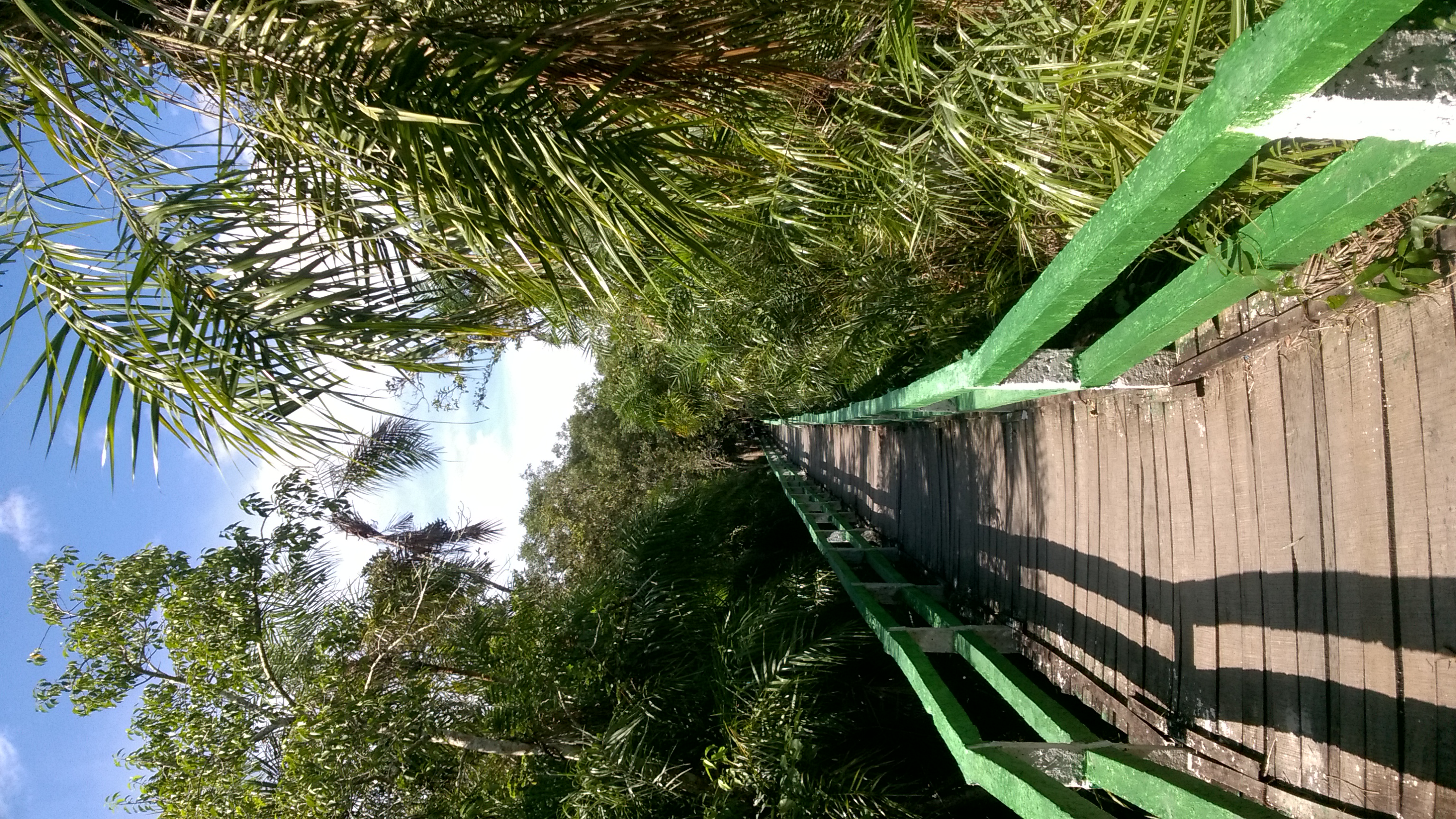
Way to সুন্দরবন
Sundarban (3)

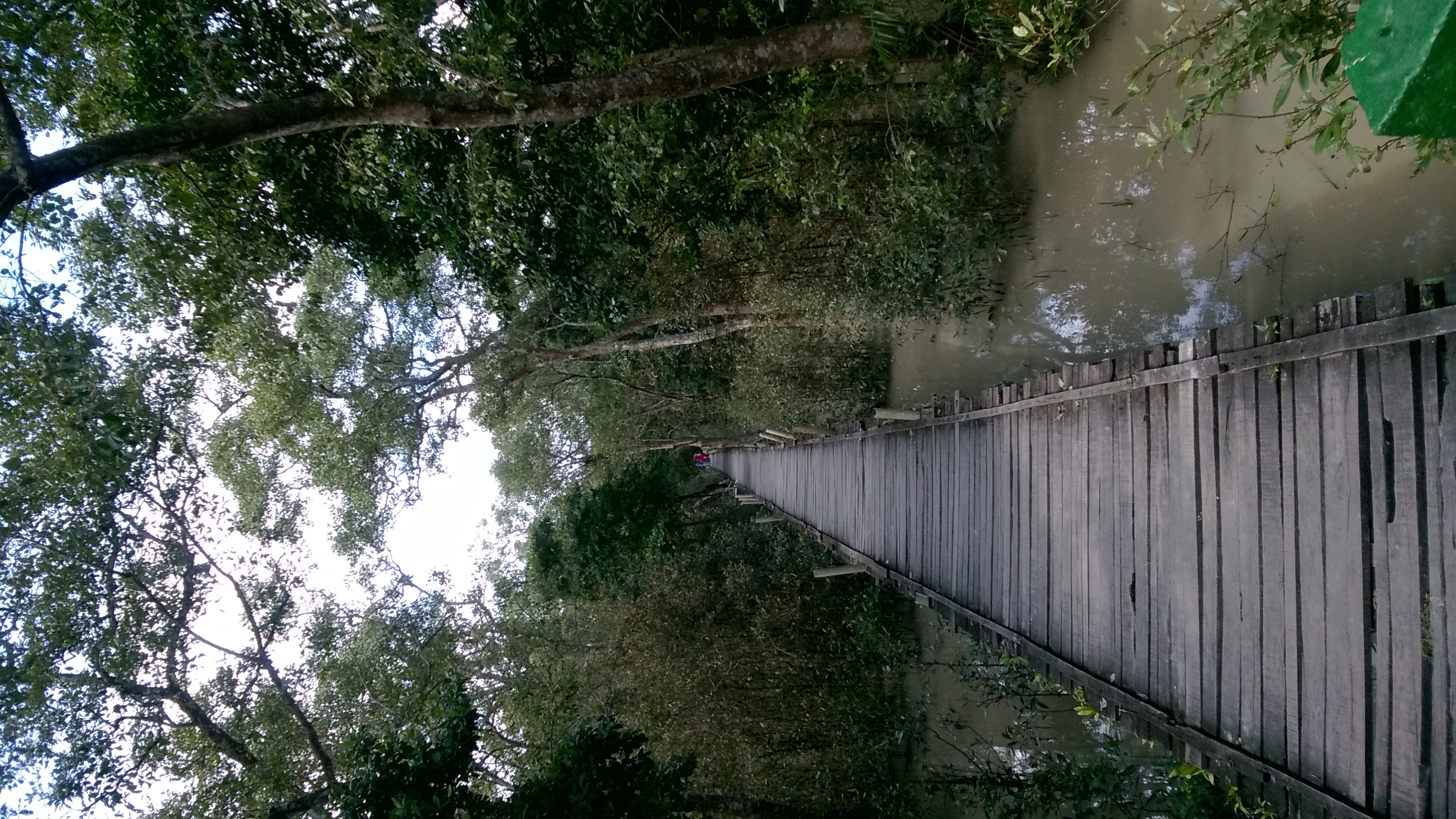
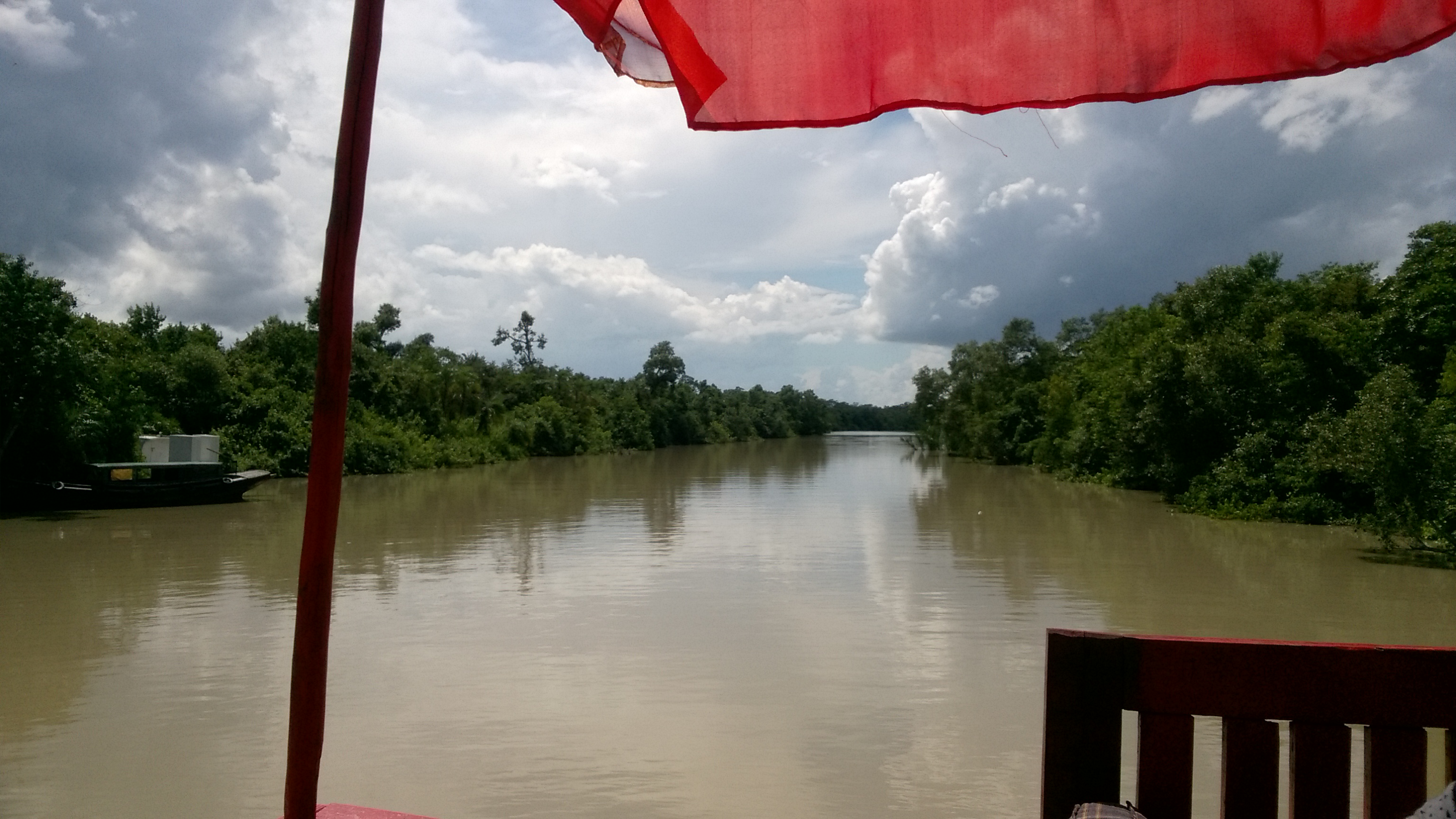
Near Sundarban (3)
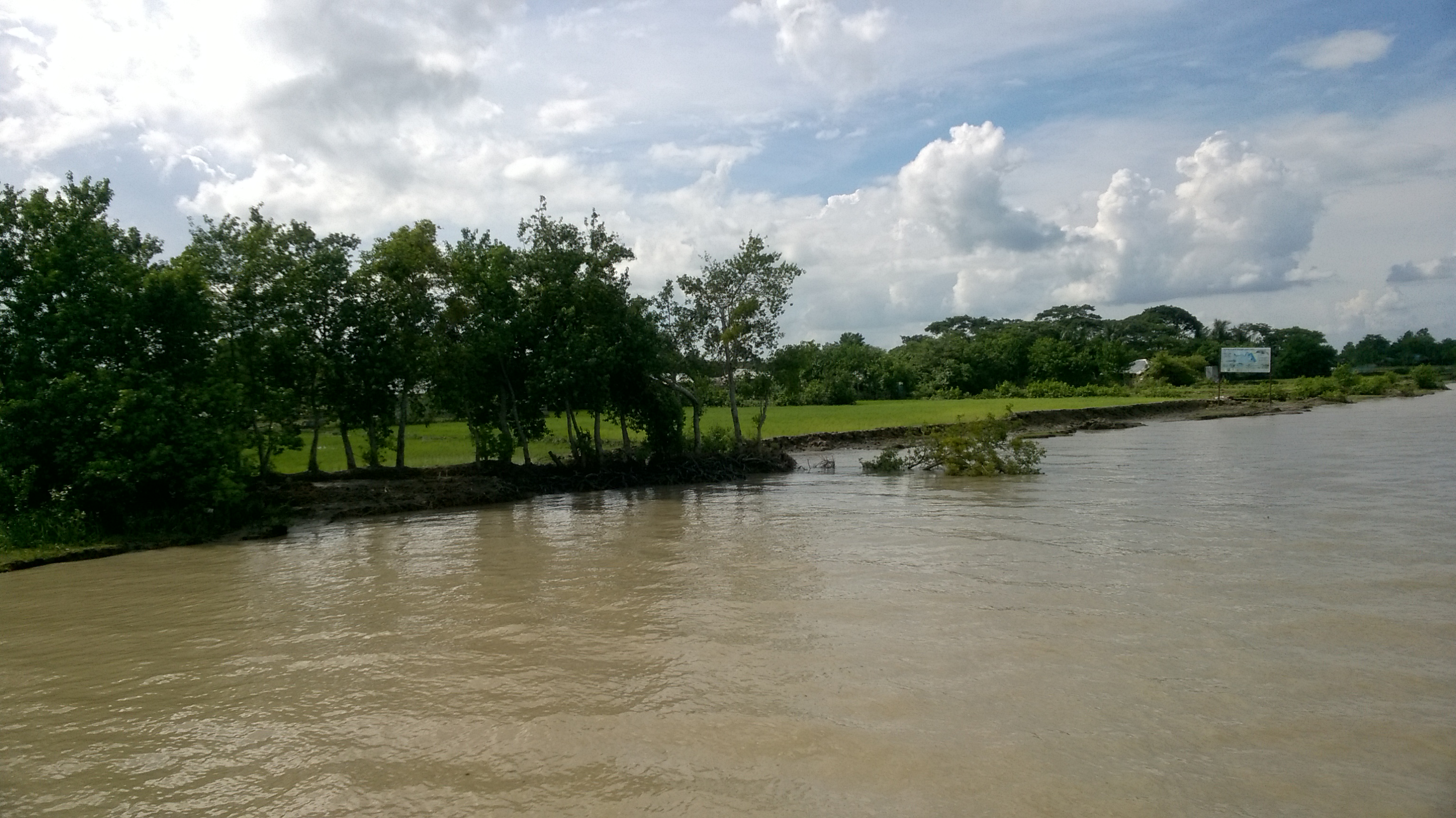
Near Sundarban
Nature before the eyes of a lunatic
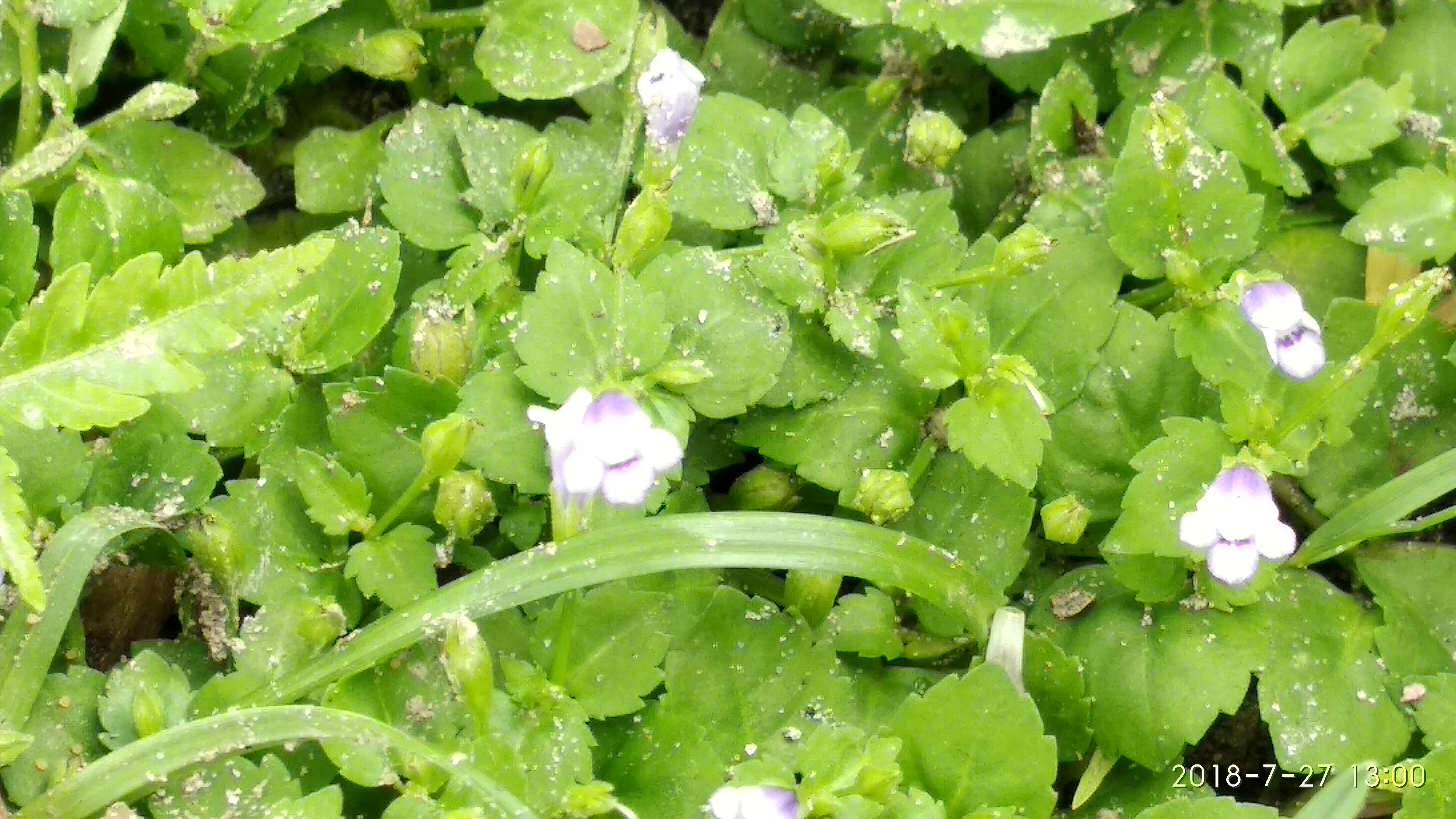
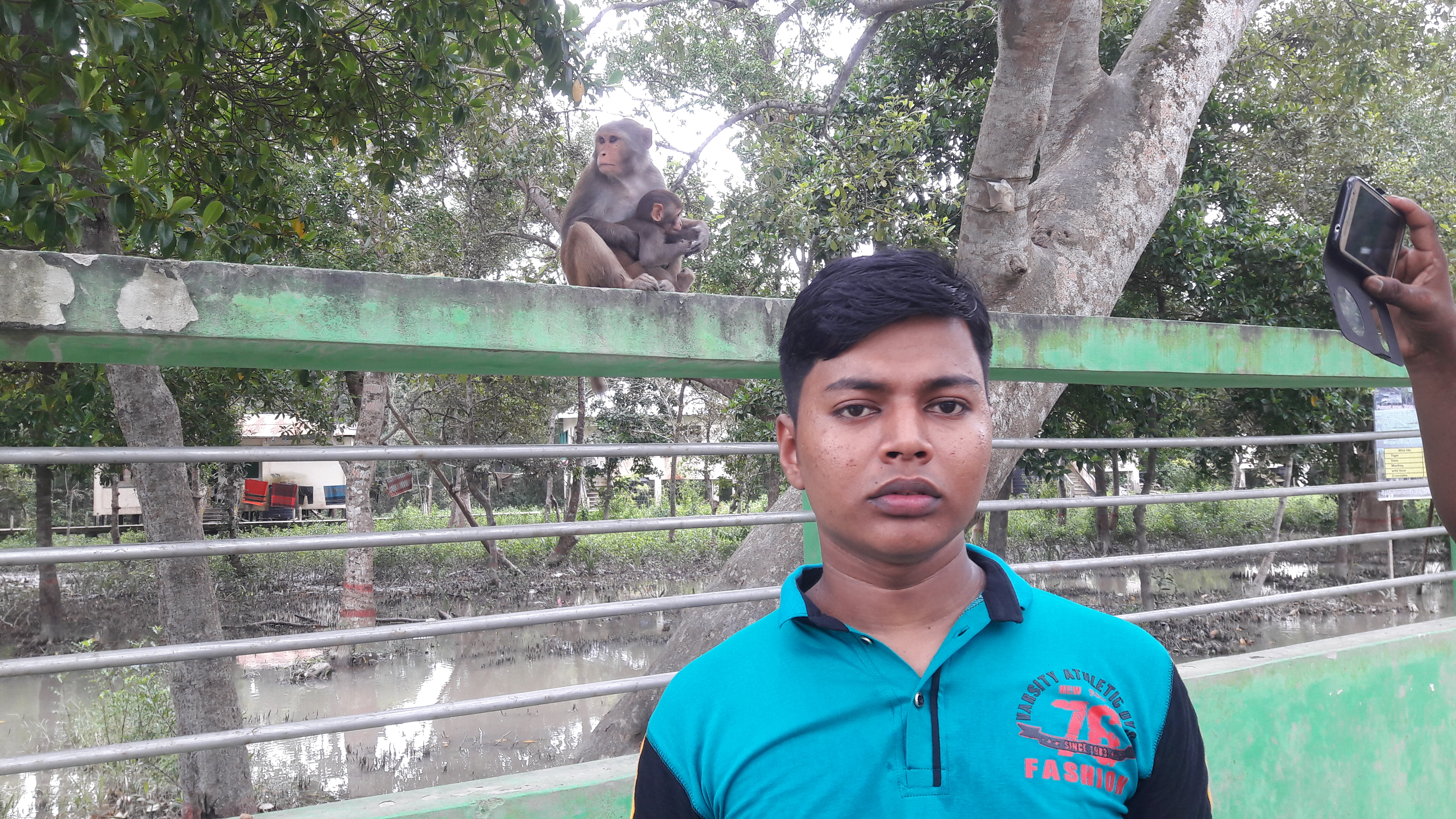
Checking small creatures of the Mangrove Forest 04
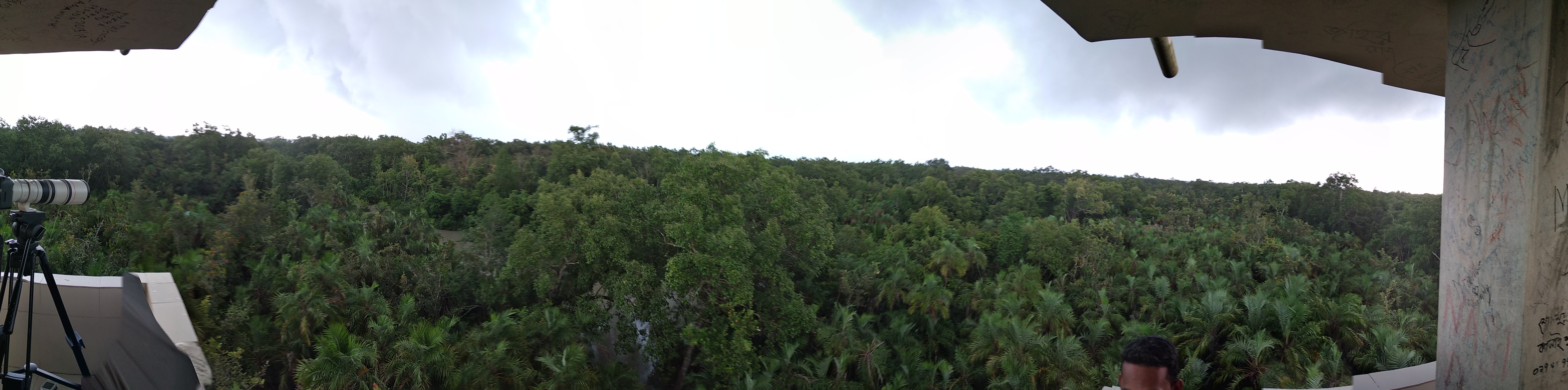
Nature before the eyes of a lunatic
IMG_20171117_161444-01

IMG_20171117_110717_HDR-01
IMG_20171117_090923-01

IMG_20171117_104727_HDR-01
Bdkamal.com

#animals #forest #deer
Sundarban (2)

Sundarban (4)
Sundarban (5)
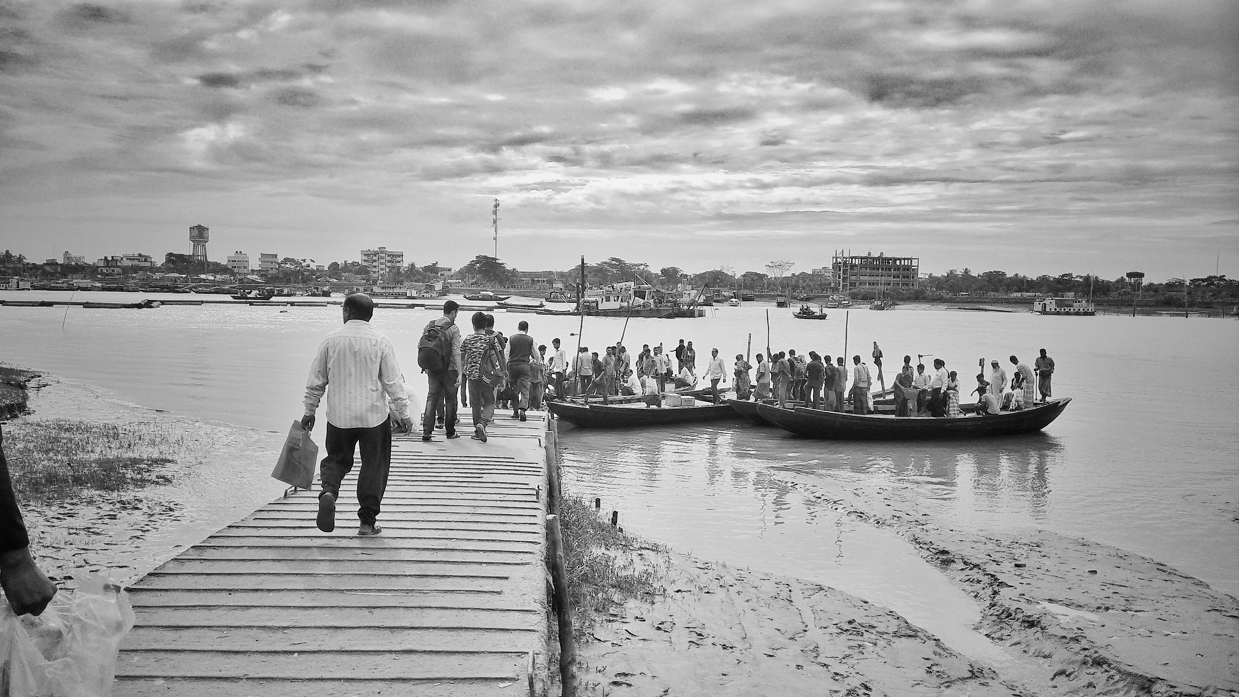
Way to Sundarban (2)
Topographic Map of Mongla, Bangladesh
Find elevation by address:

Places near Mongla, Bangladesh:
Forest Camp
Dacope Upazila
Satkhira District
Sundarbans
Shyamnagar Upazila
Unnamed Road
Daudpur
Chunakhali-caning Road
Bugulakhali
Chunakhali-caning Road
Phul Malancha
Recent Searches:
- Elevation of Royal Ontario Museum, Queens Park, Toronto, ON M5S 2C6, Canada
- Elevation of Groblershoop, South Africa
- Elevation of Power Generation Enterprises | Industrial Diesel Generators, Oak Ave, Canyon Country, CA, USA
- Elevation of Chesaw Rd, Oroville, WA, USA
- Elevation of N, Mt Pleasant, UT, USA
- Elevation of 6 Rue Jules Ferry, Beausoleil, France
- Elevation of Sattva Horizon, 4JC6+G9P, Vinayak Nagar, Kattigenahalli, Bengaluru, Karnataka, India
- Elevation of Great Brook Sports, Gold Star Hwy, Groton, CT, USA
- Elevation of 10 Mountain Laurels Dr, Nashua, NH, USA
- Elevation of 16 Gilboa Ln, Nashua, NH, USA