Elevation of Monarch, AB T0L, Canada
Location: Canada > Alberta > Division No. 2 > Lethbridge County >
Longitude: -113.10569
Latitude: 49.802831
Elevation: 945m / 3100feet
Barometric Pressure: 90KPa
Elevation Map:
Satellite Map:
Related Photos:
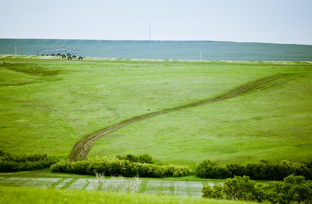
A windswept land
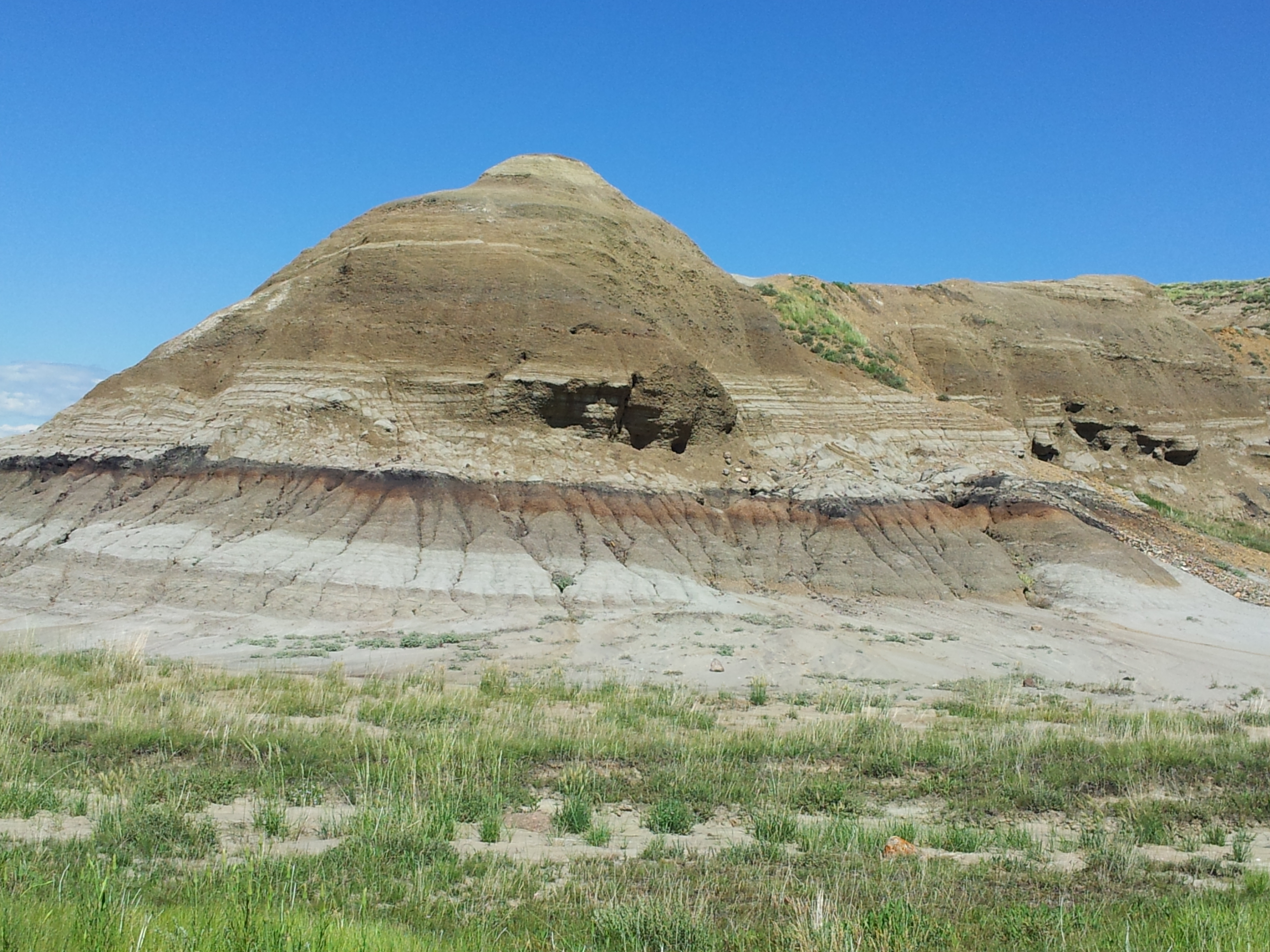
Scabby Butte
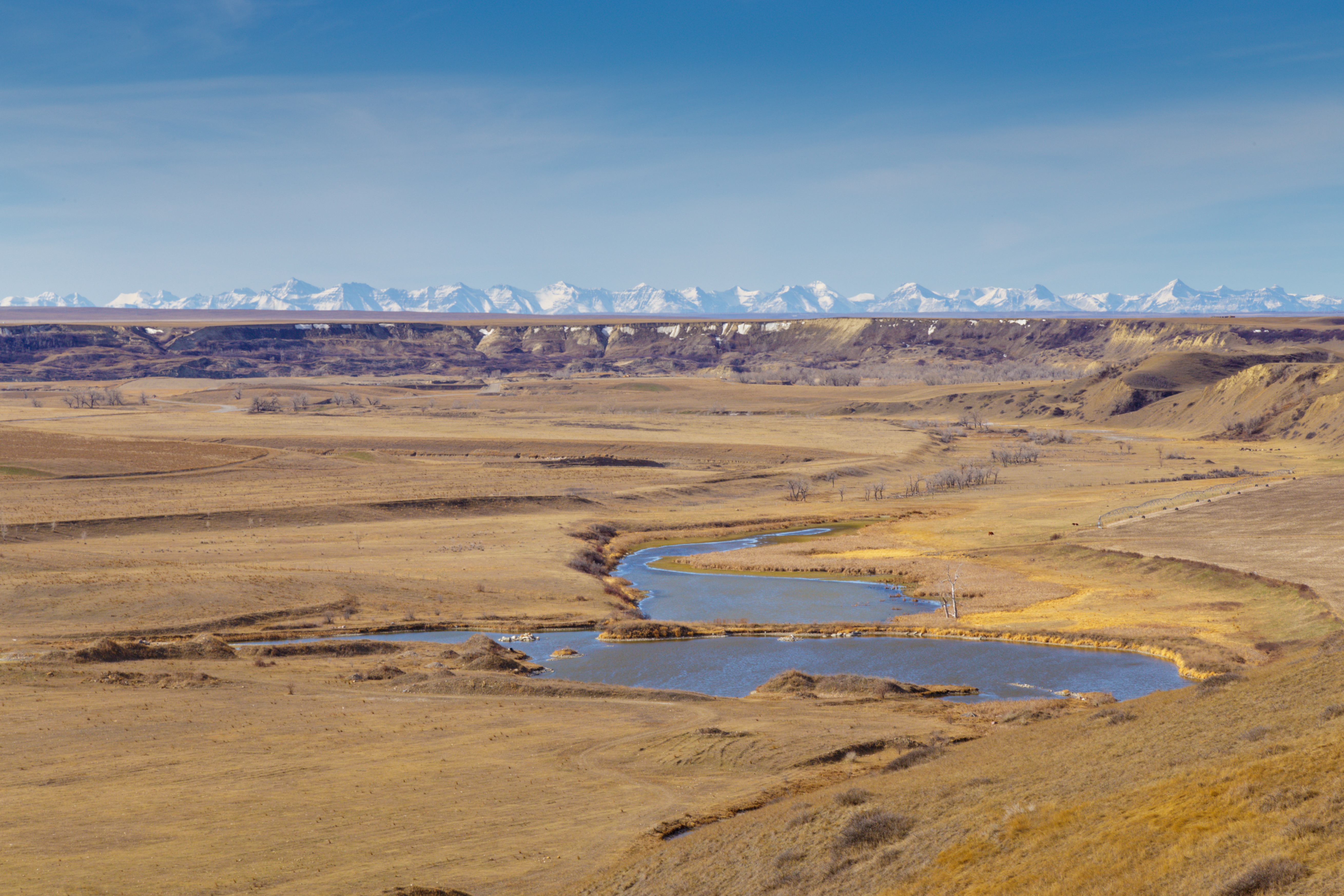
The Coulee

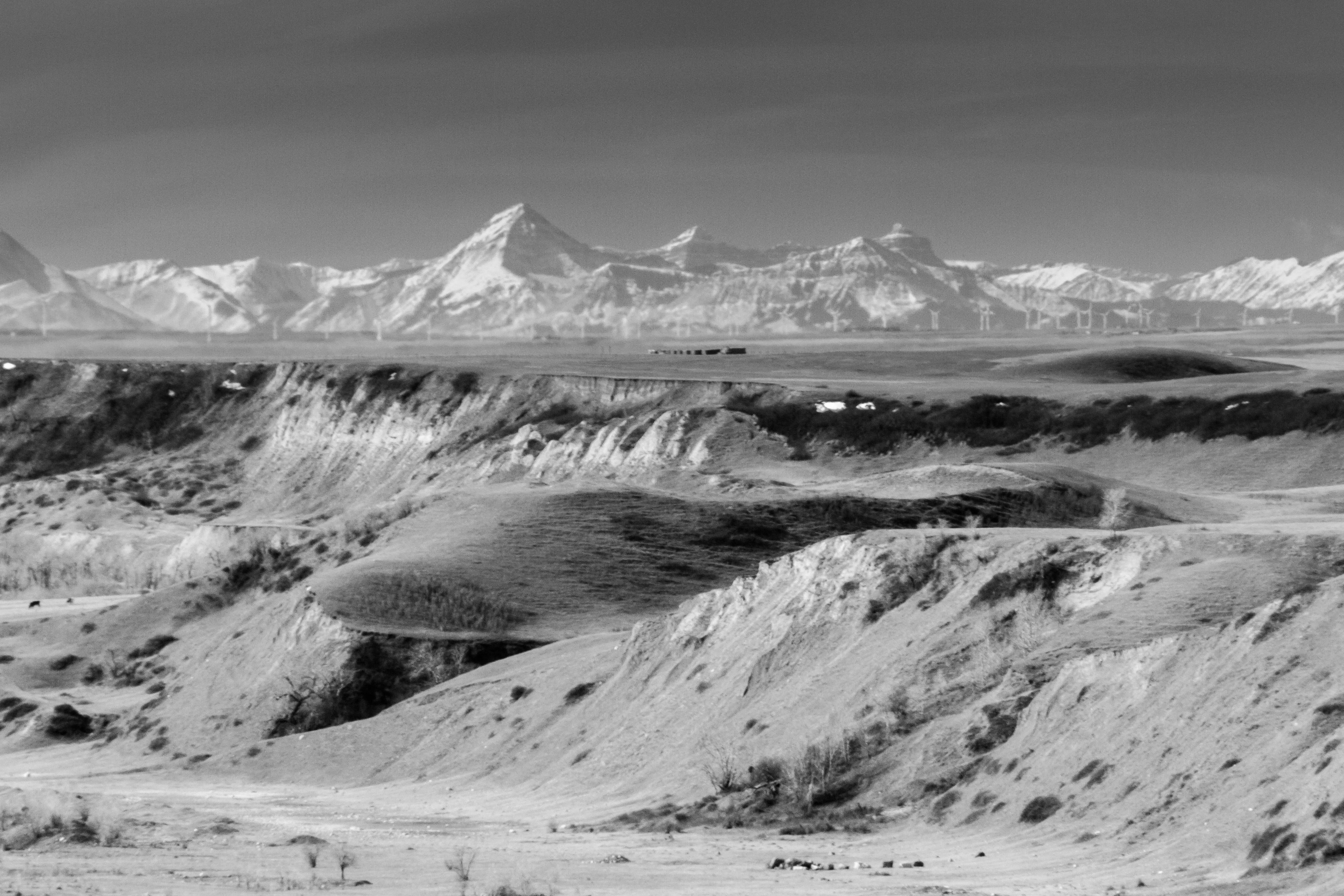
crowsnest mountain. alberta.
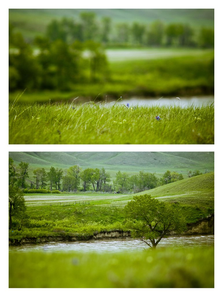
Old Man River
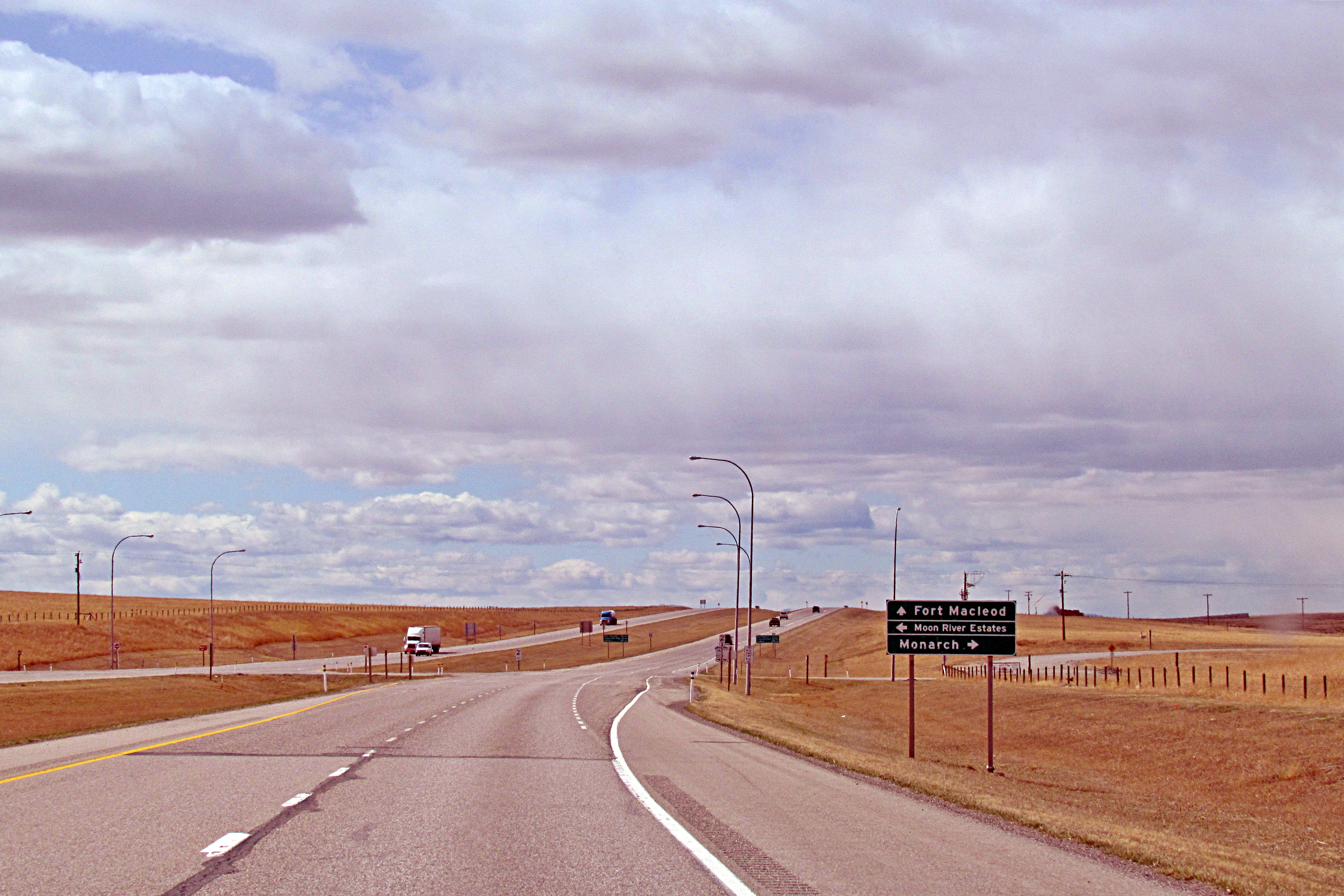
Crownest Highway near Monarch, Alberta
There's mud on the tracks

Hello!
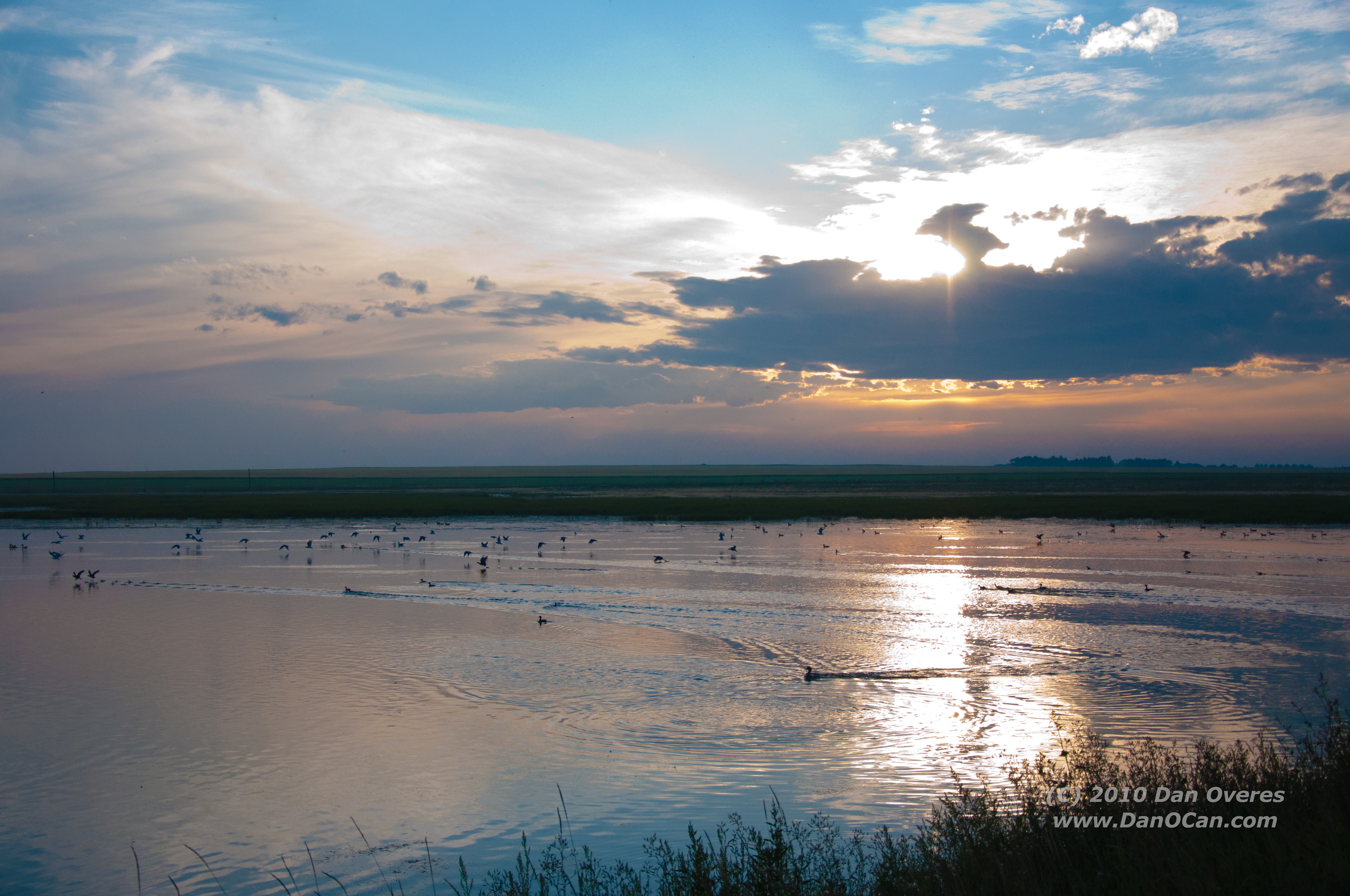
Alberta Sunset
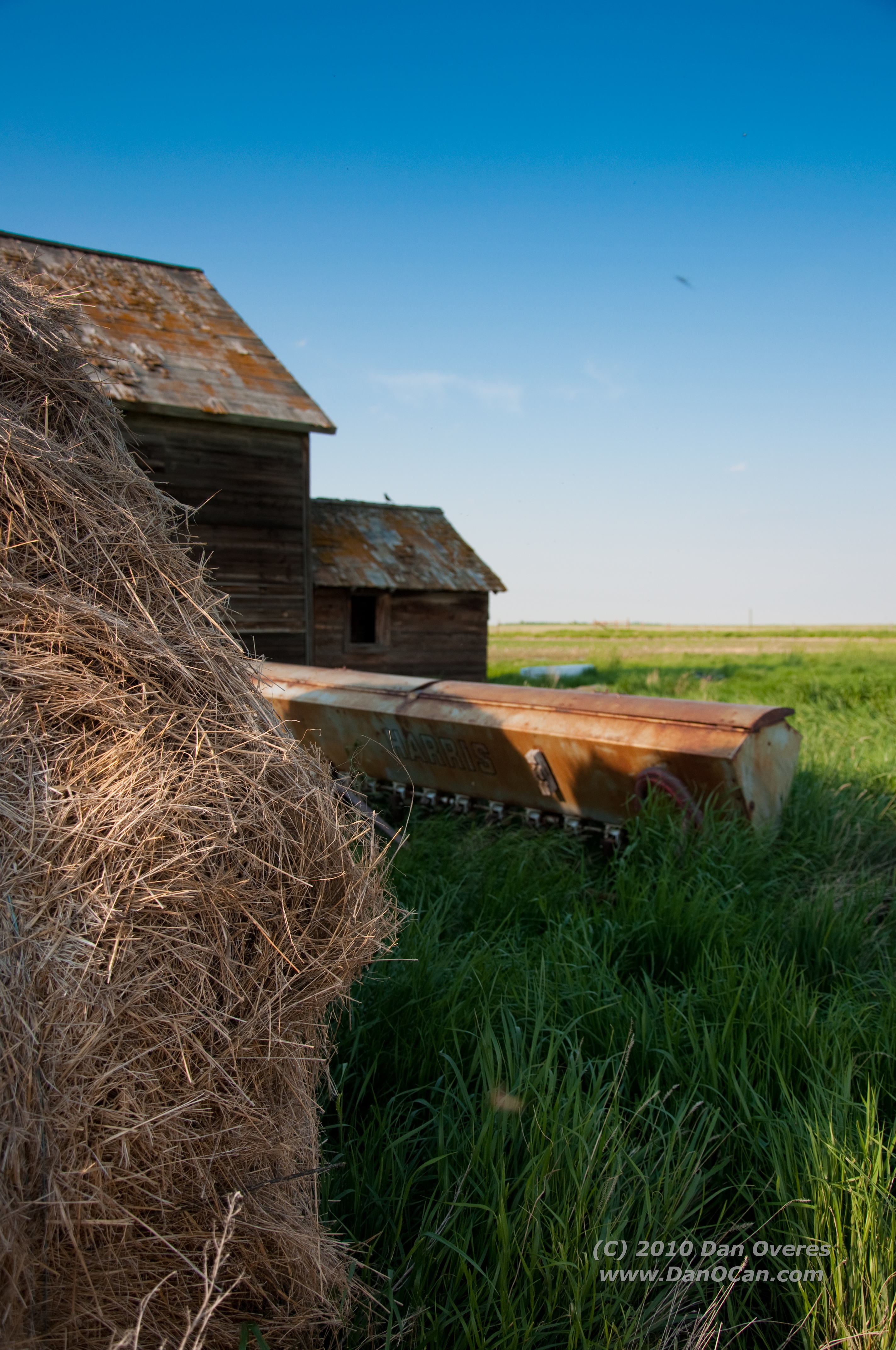
Hay!

Thistle Twins

House on a hill
Topographic Map of Monarch, AB T0L, Canada
Find elevation by address:

Places in Monarch, AB T0L, Canada:
Places near Monarch, AB T0L, Canada:
King St, Monarch, AB T0L 1M0, Canada
203 Moon River Dr
401 10b St
1133 Pacific Cir W
1210 Pacific Cir W
954 Miners Blvd W
193 Ojibwa Rd W
Diamond City
90 Riverford Cl W
Riverstone
Lethbridge
Rivergrove Chase West
The Canyons
Canyon Meadows Road West
1516 15 Ave N
Winston Churchill
1250 8 Ave S
419 14 St S
Fort Macleod
Upper Eastside
Recent Searches:
- Elevation of 3 Nestling Wood Dr, Long Valley, NJ, USA
- Elevation of Ilungu, Tanzania
- Elevation of Yellow Springs Road, Yellow Springs Rd, Chester Springs, PA, USA
- Elevation of Rēzekne Municipality, Latvia
- Elevation of Plikpūrmaļi, Vērēmi Parish, Rēzekne Municipality, LV-, Latvia
- Elevation of 2 Henschke Ct, Caboolture QLD, Australia
- Elevation of Redondo Ave, Long Beach, CA, USA
- Elevation of Sadovaya Ulitsa, 20, Rezh, Sverdlovskaya oblast', Russia
- Elevation of Ulitsa Kalinina, 79, Rezh, Sverdlovskaya oblast', Russia
- Elevation of 72-31 Metropolitan Ave, Middle Village, NY, USA