Elevation of Monaragala, Sri Lanka
Location: Sri Lanka > Uva Province >
Longitude: 81.3454417
Latitude: 6.8906454
Elevation: 161m / 528feet
Barometric Pressure: 99KPa
Elevation Map:
Satellite Map:
Related Photos:
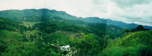
Columbo to Badulla Train Journey 2000
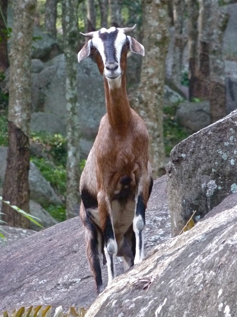
Perky Goat, Monaragala, Sri Lanka

Sri Lanka - Buduruwagala - Buddhist Site
O02A7220.jpg
Topographic Map of Monaragala, Sri Lanka
Find elevation by address:

Places near Monaragala, Sri Lanka:
Moneragala
Uva Province
Medagama National School
Pelwatta
Kumarapura
Pelwatte Sugar Industries Limited
Kendagolla
Damanwara
Little Adam's Peak
Wellawaya
Ella Rock
Amba Estate
Oak Ray Ella Gap Hotel
360 Ella
Ella
Ella
Maple Guest Inn
Ella Gap Panorama
Badulla
Lipton's Seat
Recent Searches:
- Elevation of W S, Orem, UT, USA
- Elevation of Water Bird Wy, Punta Gorda, FL, USA
- Elevation of Teiskontie 8, Tampere, Finland
- Elevation of Pacific View Dr, Malibu, CA, USA
- Elevation of Thorpe Cir, Thousand Oaks, CA, USA
- Elevation of Eldorado do Sul - RS, Brazil
- Elevation of Eldorado do Sul - Parque Eldorado, Eldorado do Sul - RS, -, Brazil
- Elevation of 35 Governors Ln, Hilton Head Island, SC, USA
- Elevation of Orangevale, CA, USA
- Elevation of Doe Cir, Clinton, OH, USA