Elevation of Momeyer Way, Nashville, NC, USA
Location: United States > North Carolina > Nash County > Mannings > Momeyer >
Longitude: -78.056411
Latitude: 35.960833
Elevation: 84m / 276feet
Barometric Pressure: 100KPa
Elevation Map:
Satellite Map:
Related Photos:

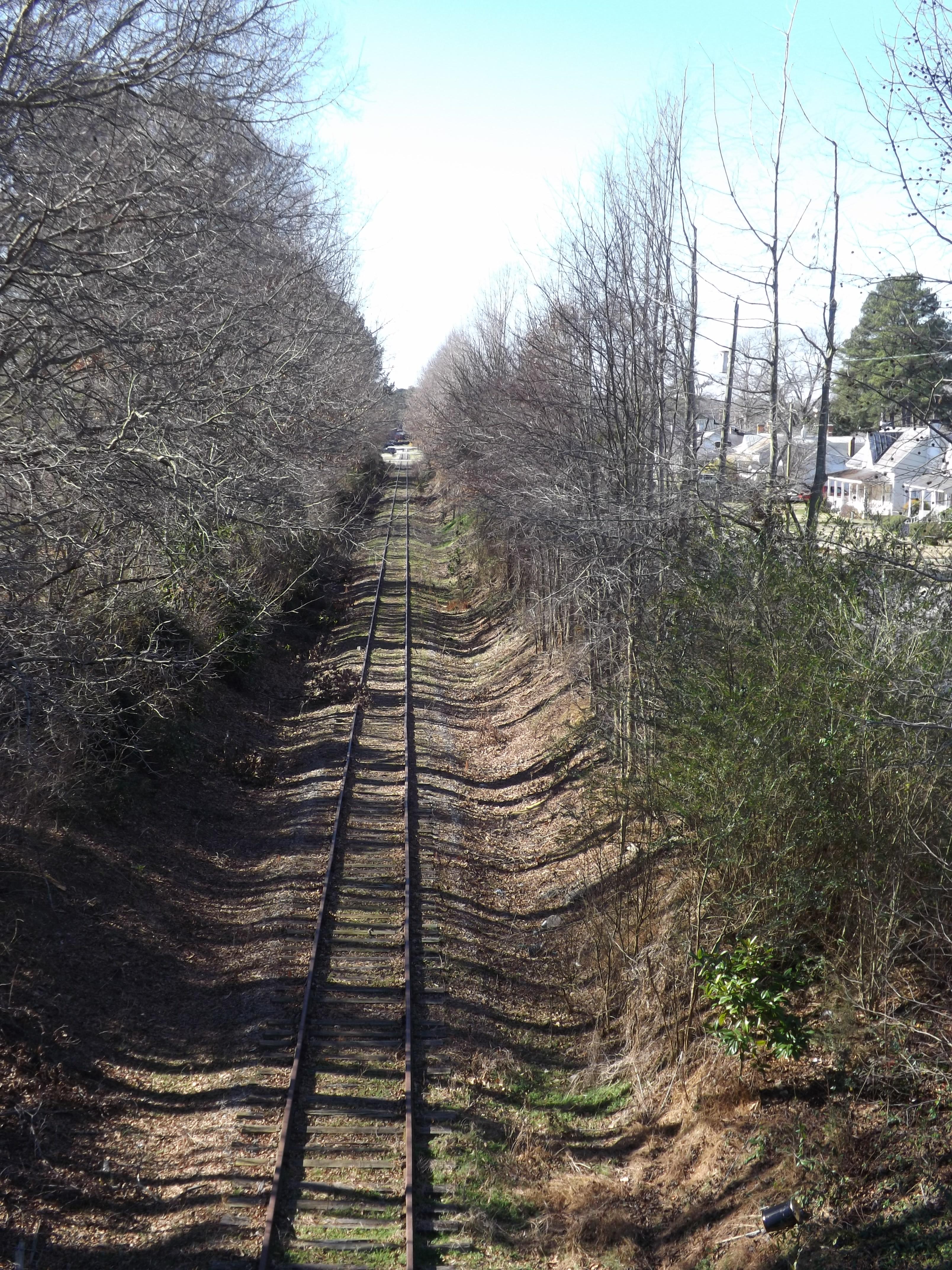
Mainline to the right

Winter Gold
Abandoned sorta(read on)
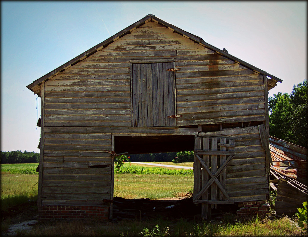
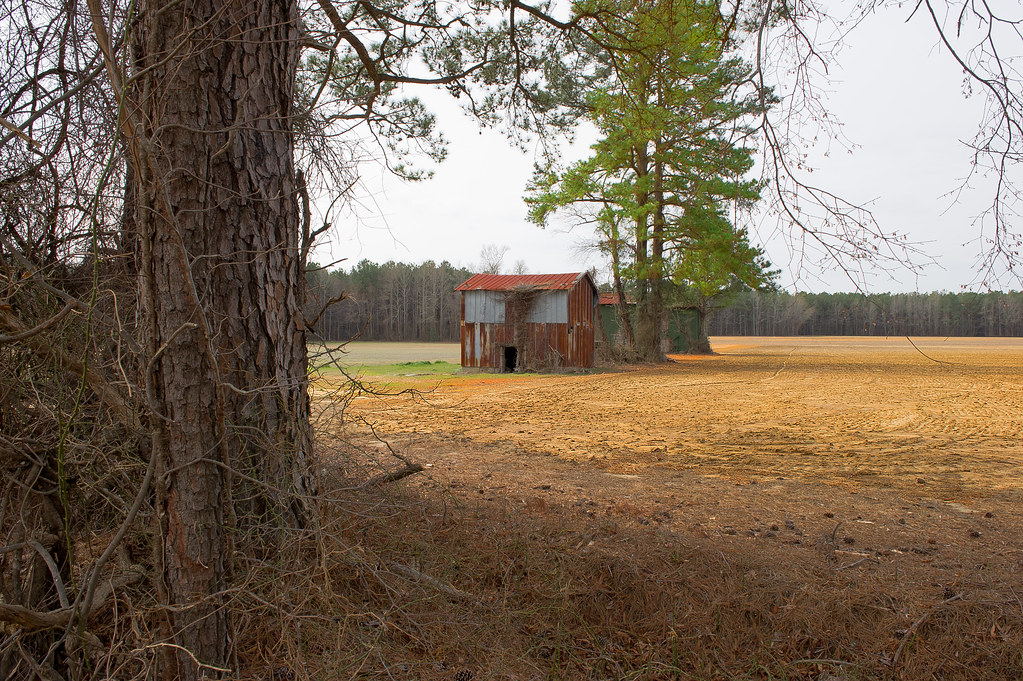
A barn with a view (straight thru)
rear view.JPG
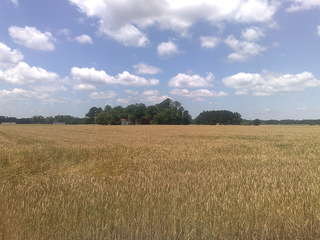
The Old US 64 Highway - Spring Hope, NC
Side View.JPG
My point of view.

Aquatrain Experiment

Rocky Mount, NC - iPhone 4 capture...
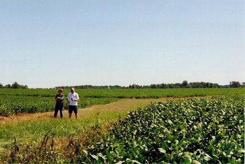
Outstanding in the field.

Light The Day
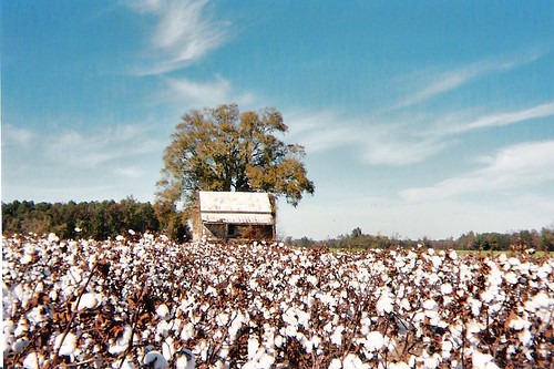
High Cotton
This was covered with water the weekend after.
Somewhere in America

Working in the rows
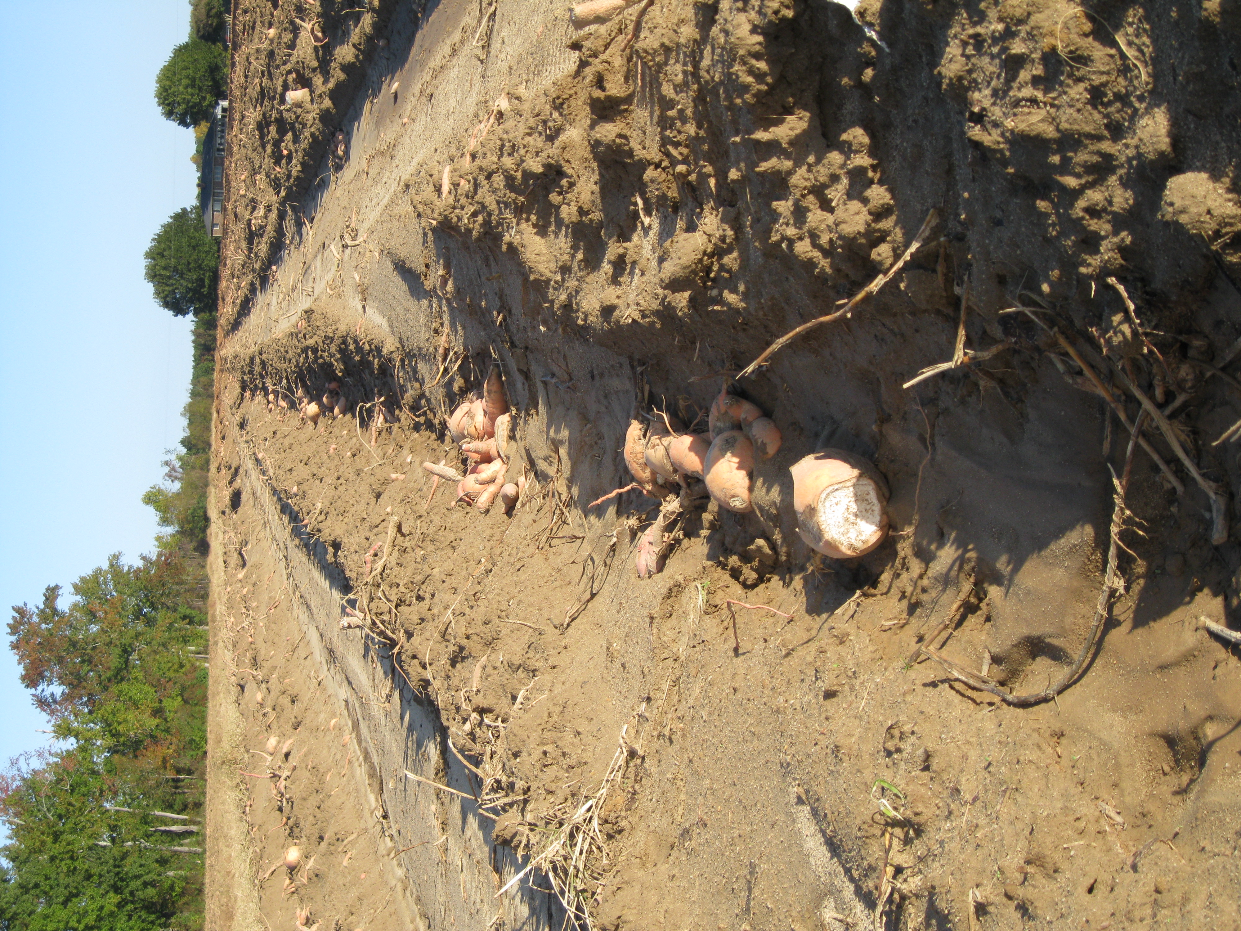
rows of sweet potatoes
Lay of the land...
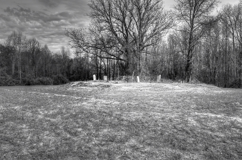
Burial mound...
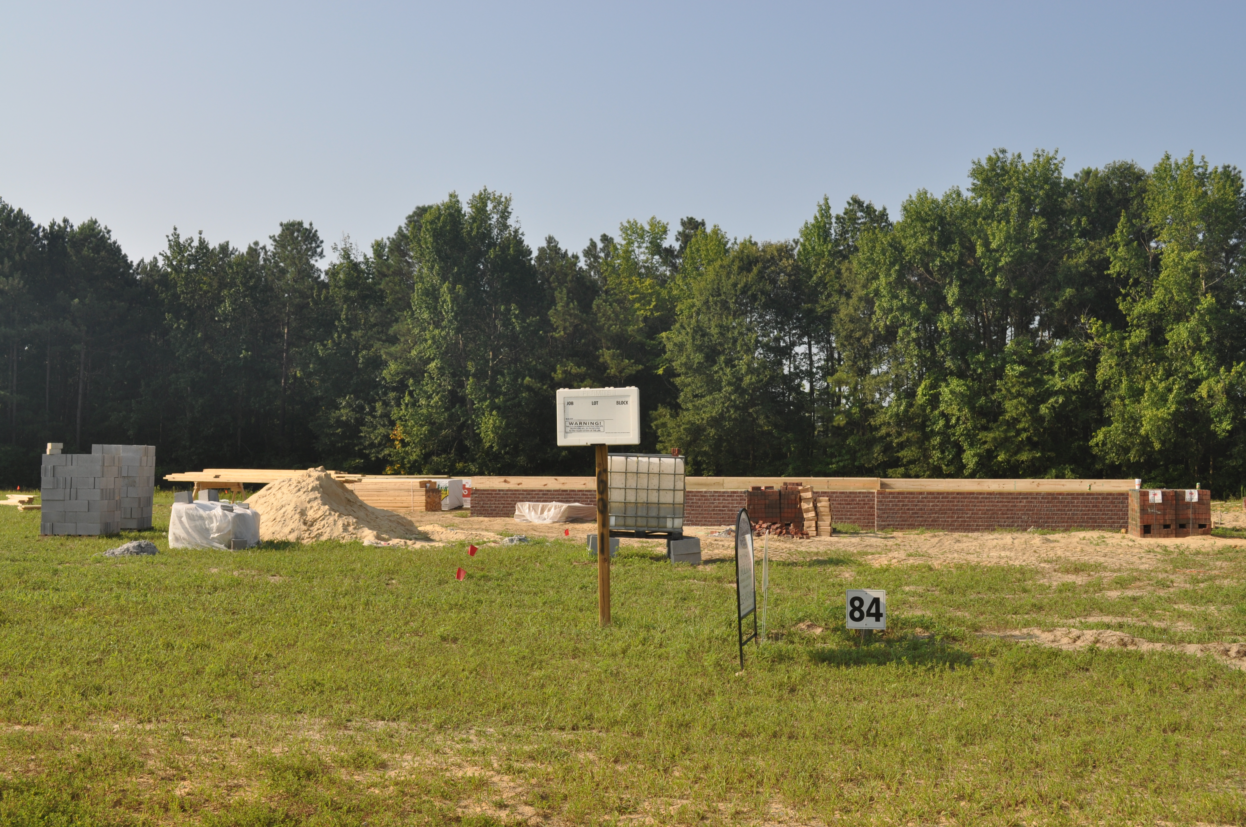
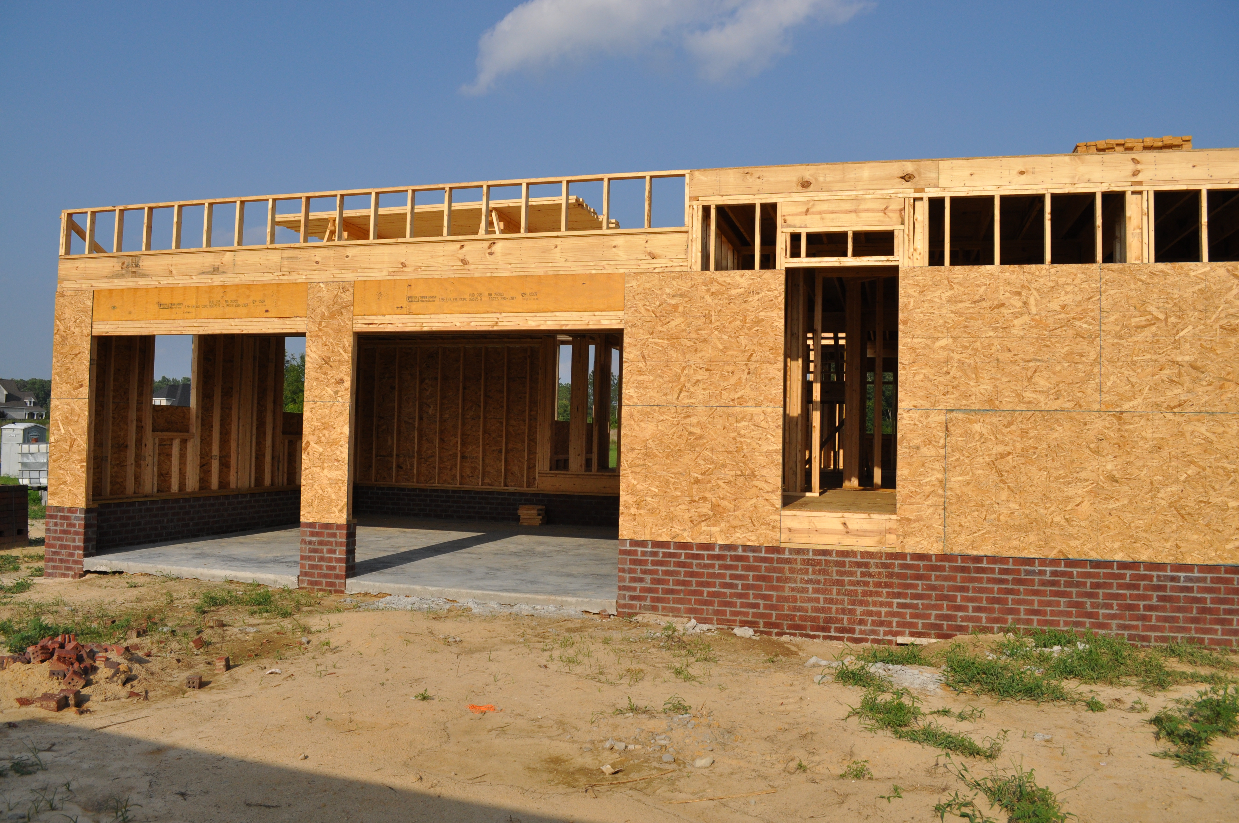
Foundation 1.JPG

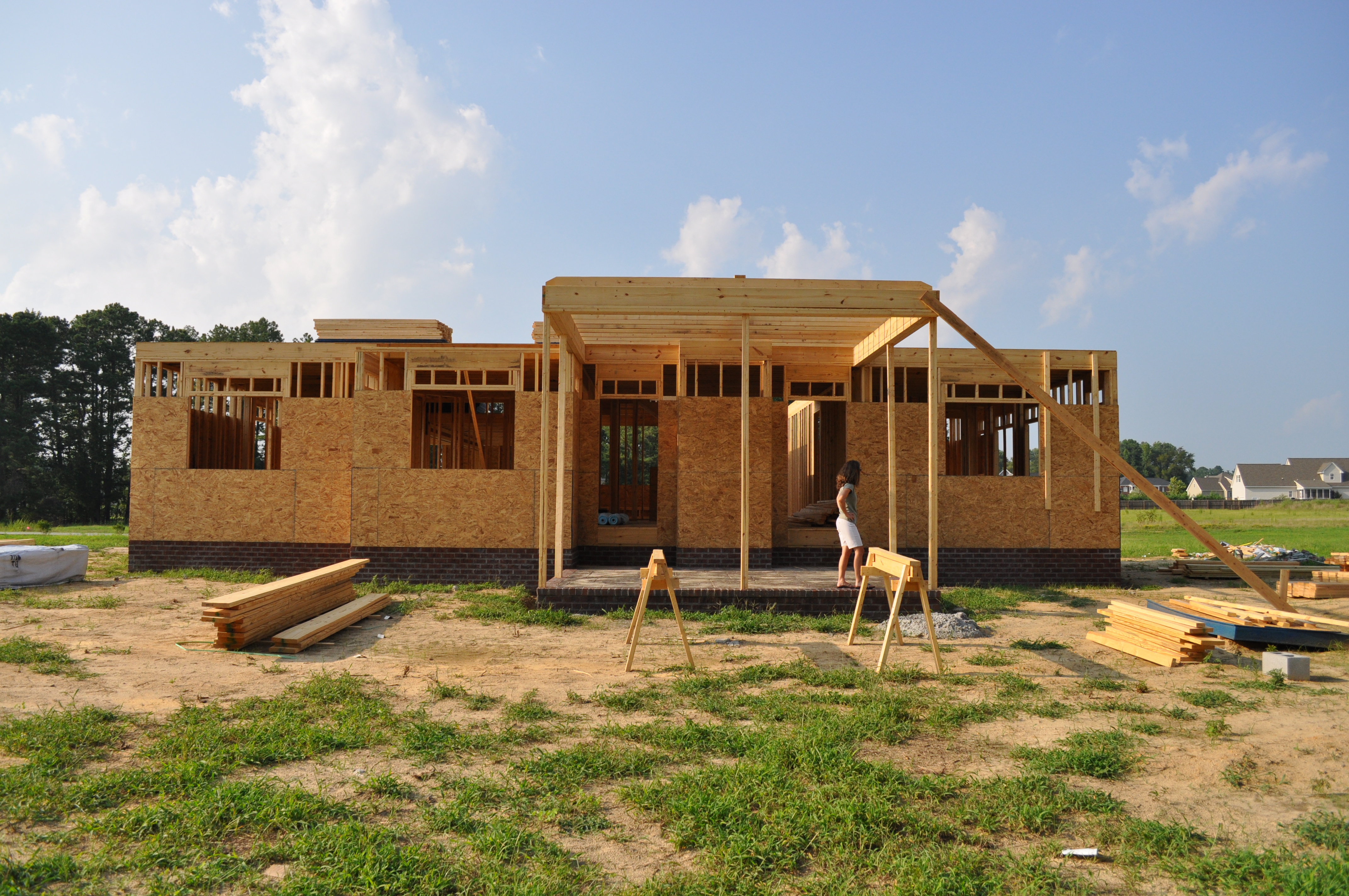
Foundation completed
Topographic Map of Momeyer Way, Nashville, NC, USA
Find elevation by address:

Places near Momeyer Way, Nashville, NC, USA:
Momeyer
Mannings
Pleasant Grove Church Rd, Spring Hope, NC, USA
607 Mclean St
Spring Hope
Edwards Rd, Spring Hope, NC, USA
6300 Lancaster Store Rd
133 Huford Harris Rd
Cypress Creek
405 Sagamore Dr
379 Sagamore Dr
Ferrells
122 Black Cloud Dr
9965 Cowart Ln
10039 Nc-97
1070 Tant Rd
1040 Tant Rd
Pine Ridge Rd, Zebulon, NC, USA
Rocky Cross Rd, Middlesex, NC, USA
111 Morgan Dr
Recent Searches:
- Elevation of 1 Zion Park Blvd, Springdale, UT, USA
- Elevation of Ganderbal
- Elevation map of Konkan Division, Maharashtra, India
- Elevation of Netaji Nagar, Hallow Pul, Kurla, Mumbai, Maharashtra, India
- Elevation of Uralsk, Kazakhstan
- Elevation of 45- Kahana Dr, Honokaa, HI, USA
- Elevation of New Mexico 30, NM-30, Española, NM, USA
- Elevation of Santmyer Way, Charles Town, WV, USA
- Elevation of Riserva Naturale Lago di Montepulciano, Italy
- Elevation of Marjorie Lane, Marjorie Ln, Whitefield, NH, USA