Elevation of Mohawk, OR, USA
Location: United States > Oregon > Lane County >
Longitude: -122.915
Latitude: 44.1425
Elevation: 154m / 505feet
Barometric Pressure: 99KPa
Elevation Map:
Satellite Map:
Related Photos:
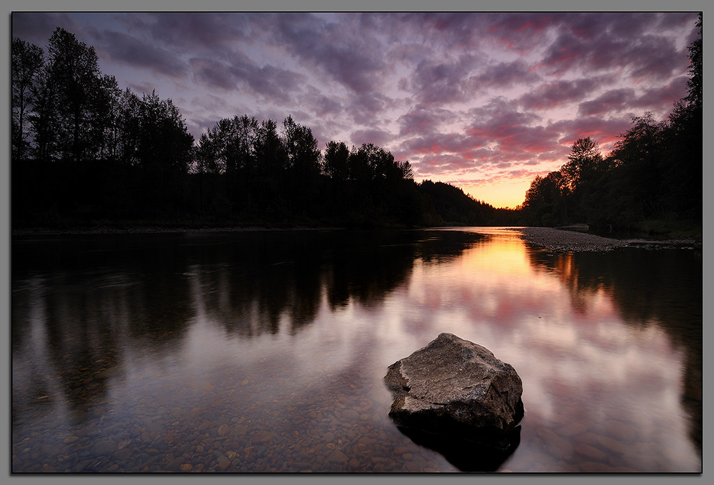
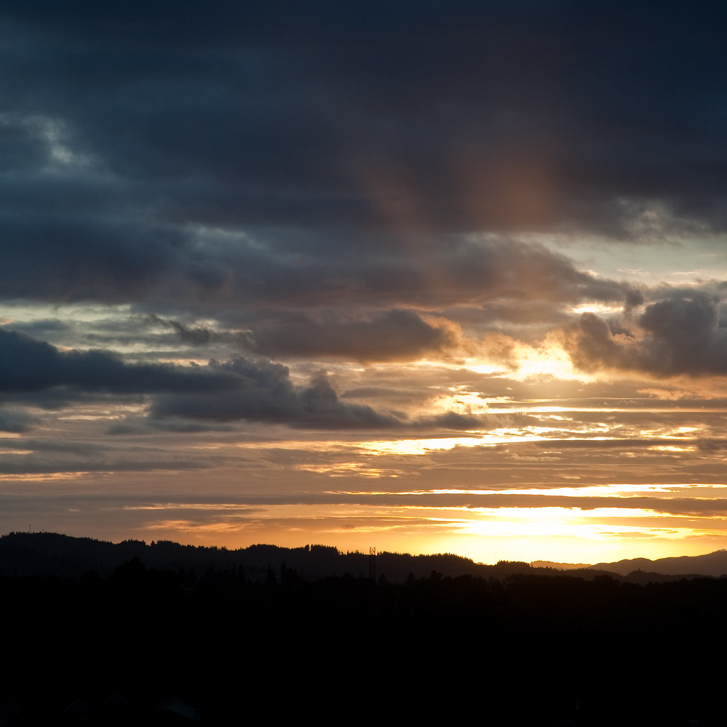
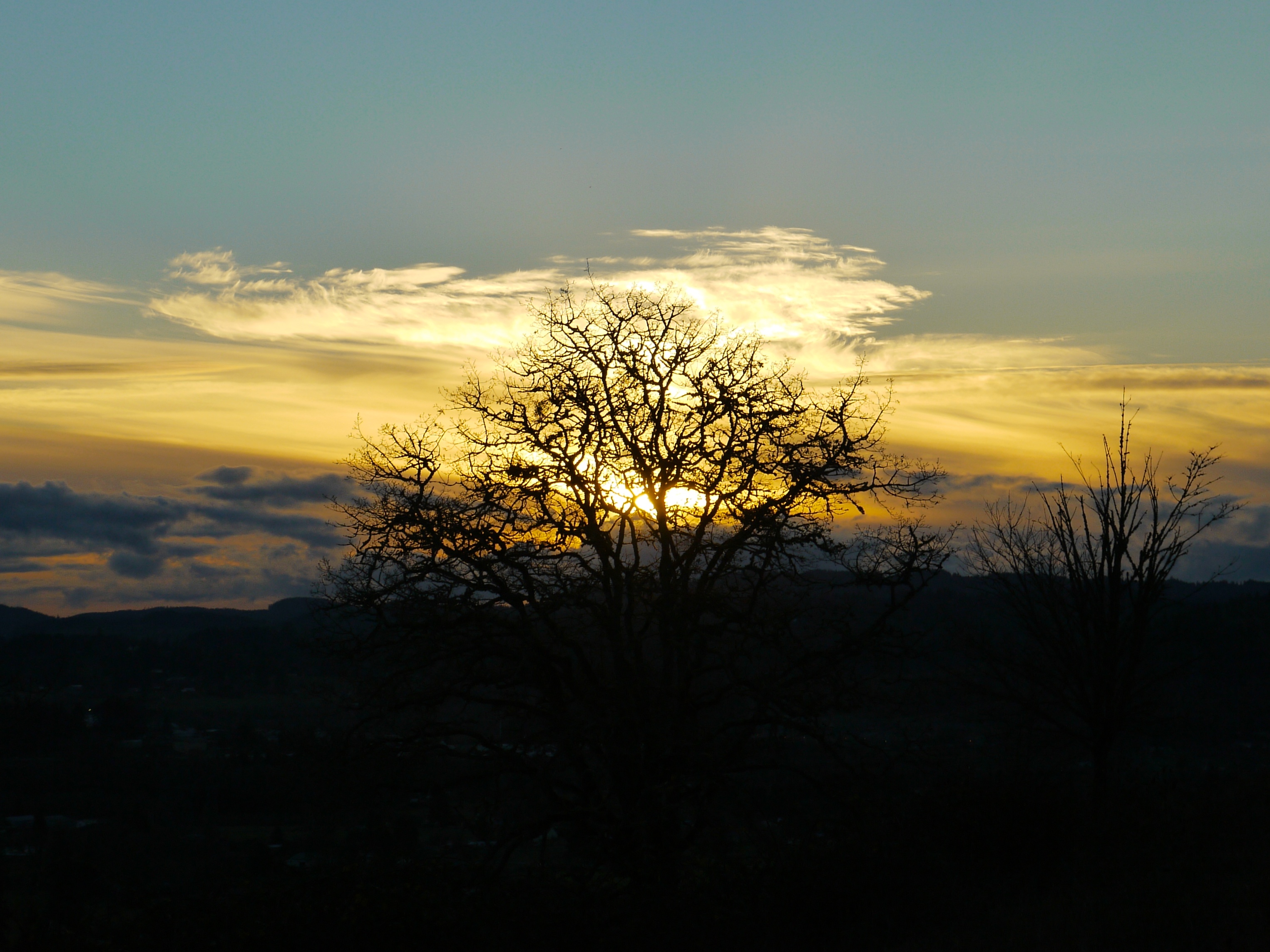
Clearwater Sunset....

Motormatic on the Down Low
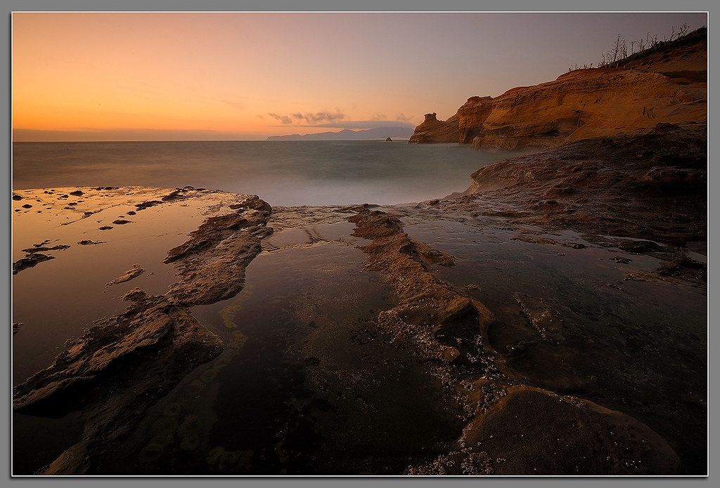
Kiwanda Sundown

Needles and Pins

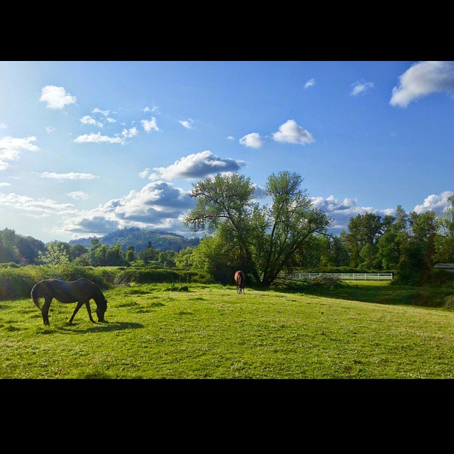
BARN ON THE HILL
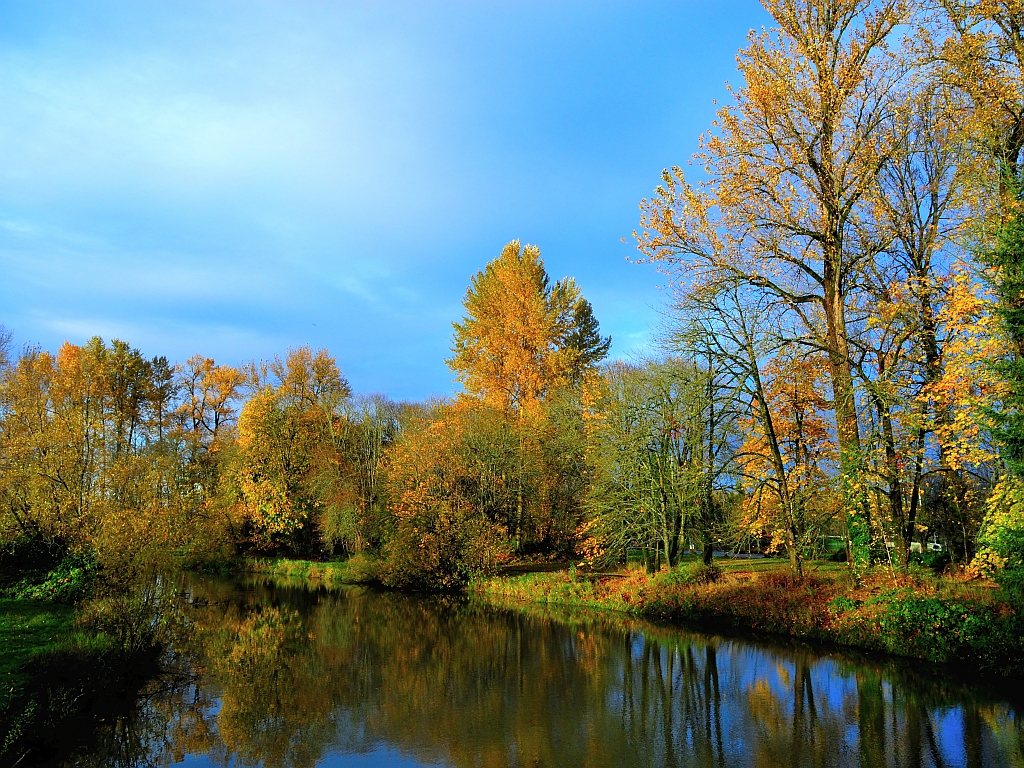
Last trace of autumn
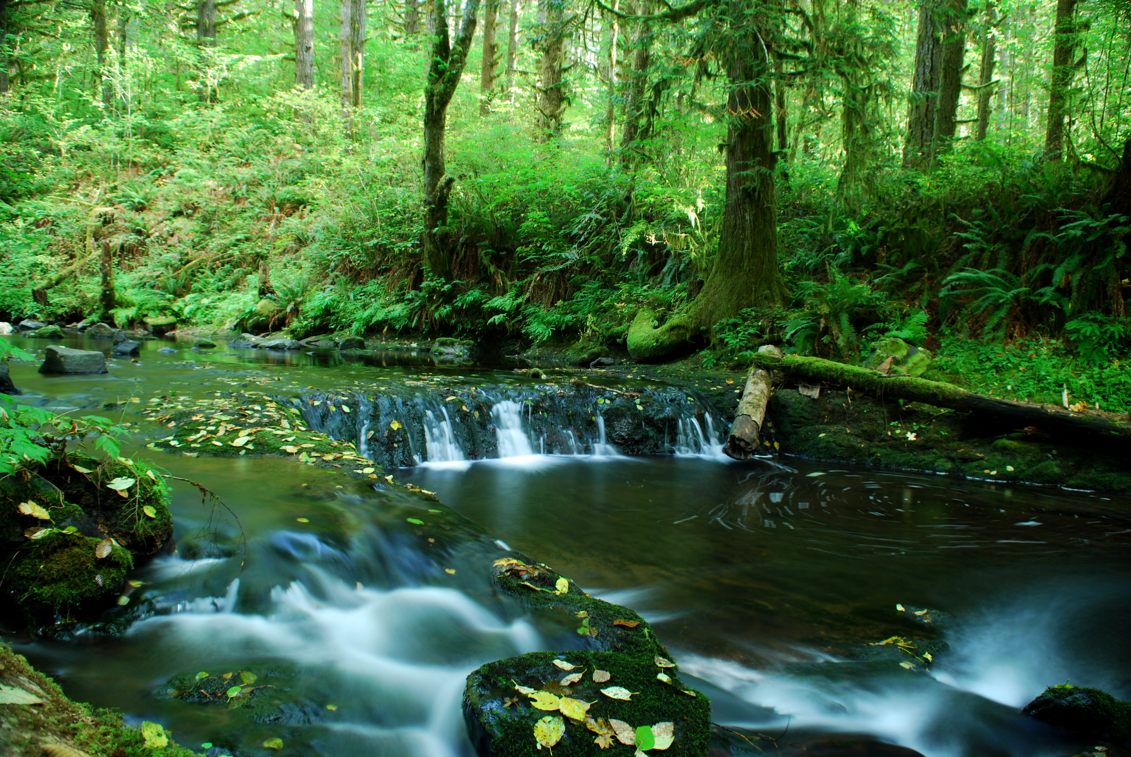
More Shotgun Creek

Faerie Worlds 2012, Eugene, Oregon
Royal Caribbean At Night
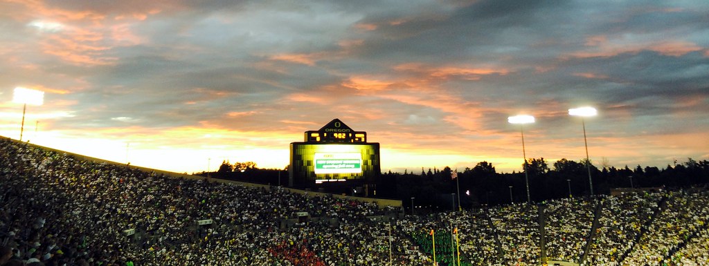
Oregon vs South Dakota
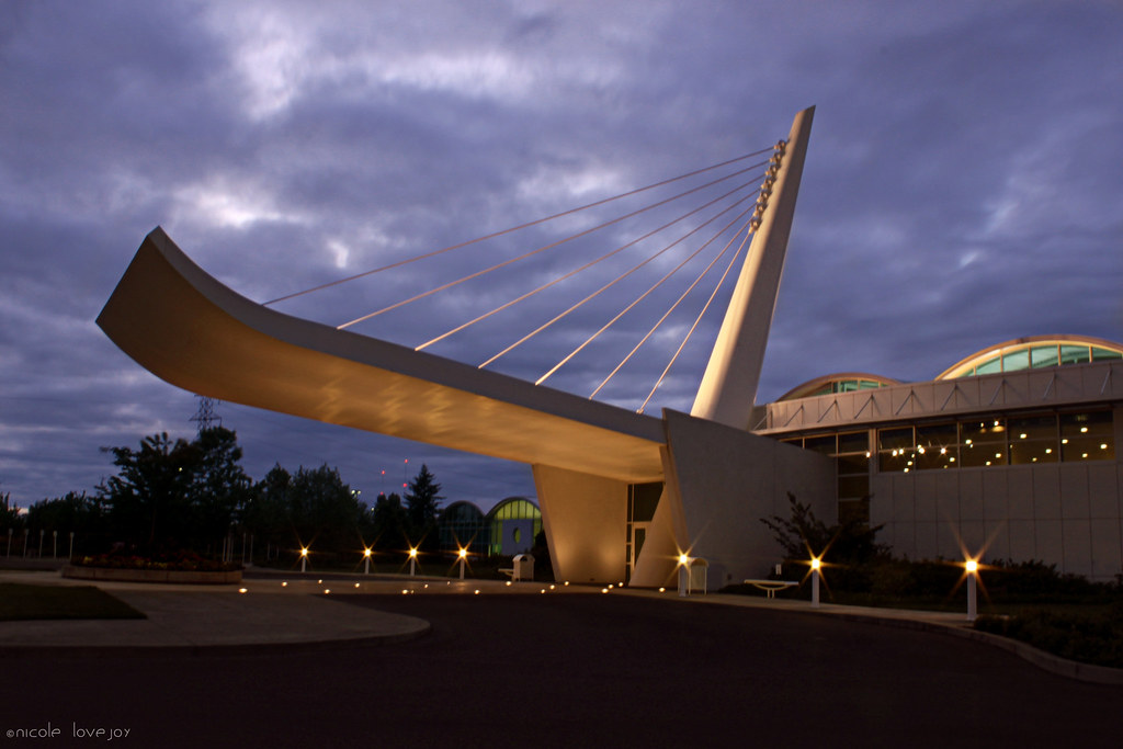
Big O
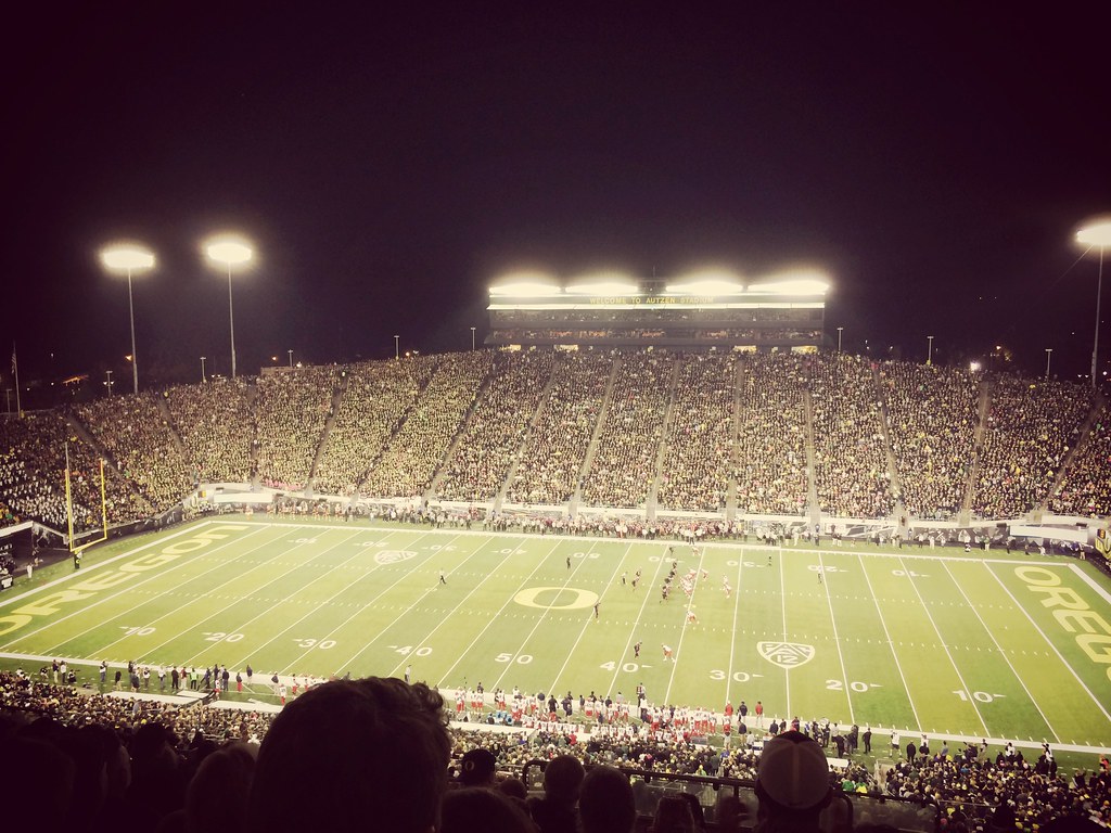
Oregon vs Arizona at Autzen Stadium
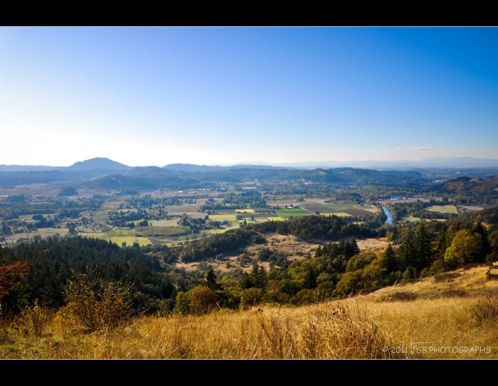
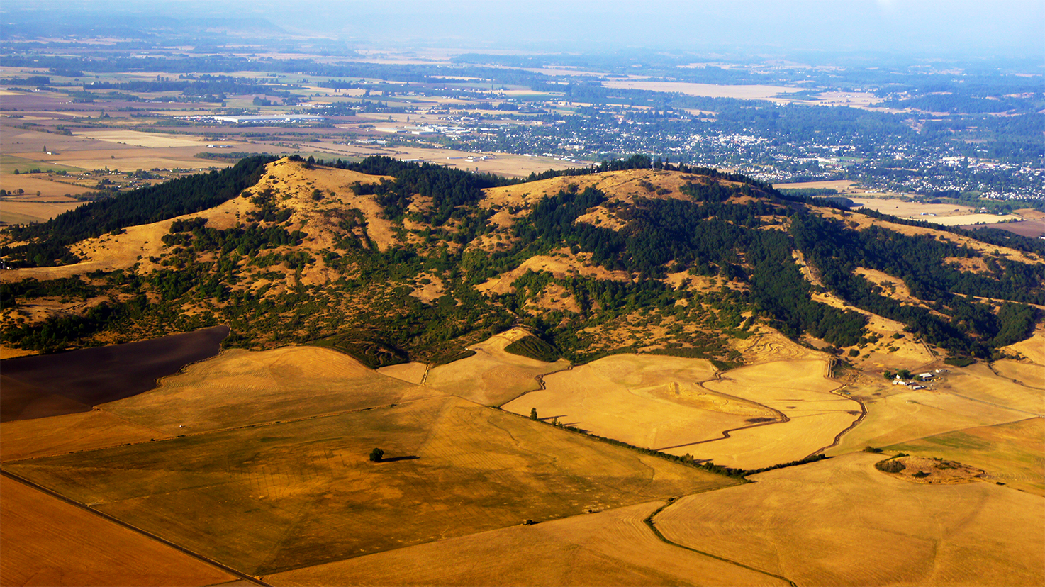
View from Mt Pisgah

Down The Line

At least the hospital has a great view
Late November Afternoon

Home: front view

Rizzo: Song About Her

A Looking in View

Nikki - Winter

Oregon vs Wyoming

Bring It On Home
High Water
Out of the Middle

Stay Gold

Can't Stop the Sun

MORE BOKEH DOWN BY THE RIVER
Truly a picture perfect day!

100/81: Into the light

Day 144: Sun-kissed spikelets

Runnin' Down a Dream
Put Out the Light

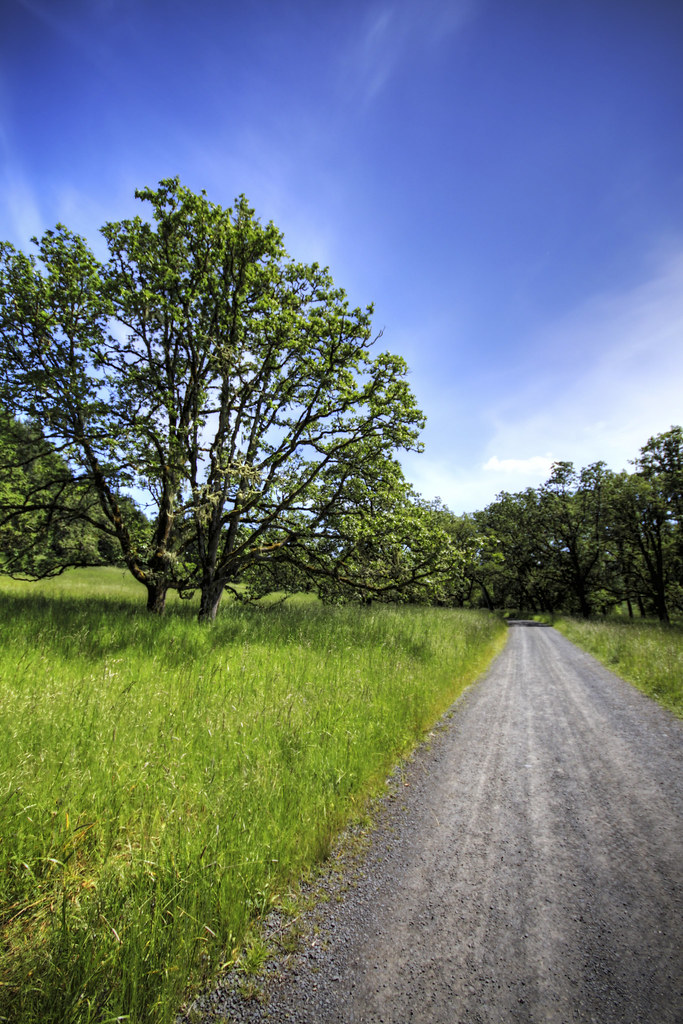
100/83: Forest road

Paint it Black
Long Weekend

Day 172: Daisies and clouds
Willamette Valley

Daisies and clouds II
Mt Pisgah Sunset 2

Day 184: Fields of gold

Mt Pisgah Sunset
Topographic Map of Mohawk, OR, USA
Find elevation by address:

Places near Mohawk, OR, USA:
36606 Mcgowen View Ln
37203 Conley Rd
37319 Parsons Creek Rd
37148 Parsons Creek Rd
92465 Pioch Ln
Pioch Lane
36731 Boiler Creek Rd
92088 Marcola Rd
92088 Marcola Rd
Marcola
93000 Marcola Rd
Earnest Bridge
38935 Shotgun Creek Rd
Crooked Creek Road
Marcola Rd, Marcola, OR, USA
Shotgun Creek
Seeley Creek Road
97448 Johnson Rd
Howard Road
40051 Mohawk River Rd
Recent Searches:
- Elevation of Holloway Ave, San Francisco, CA, USA
- Elevation of Norfolk, NY, USA
- Elevation of - San Marcos Pass Rd, Santa Barbara, CA, USA
- Elevation of th Pl SE, Issaquah, WA, USA
- Elevation of 82- D Rd, Captain Cook, HI, USA
- Elevation of Harlow CM20 2PR, UK
- Elevation of Shenyang Agricultural University, Dong Ling Lu, Shen He Qu, Shen Yang Shi, Liao Ning Sheng, China
- Elevation of Alpha Dr, Melbourne, FL, USA
- Elevation of Hiroshima University, 1-chōme-3-2 Kagamiyama, Higashihiroshima, Hiroshima -, Japan
- Elevation of Bernina Dr, Lake Arrowhead, CA, USA