Elevation of MN-61, Silver Bay, MN, USA
Location: United States > Minnesota > Lake County > Lake No. 1 >
Longitude: -91.113026
Latitude: 47.409289
Elevation: 196m / 643feet
Barometric Pressure: 99KPa
Elevation Map:
Satellite Map:
Related Photos:
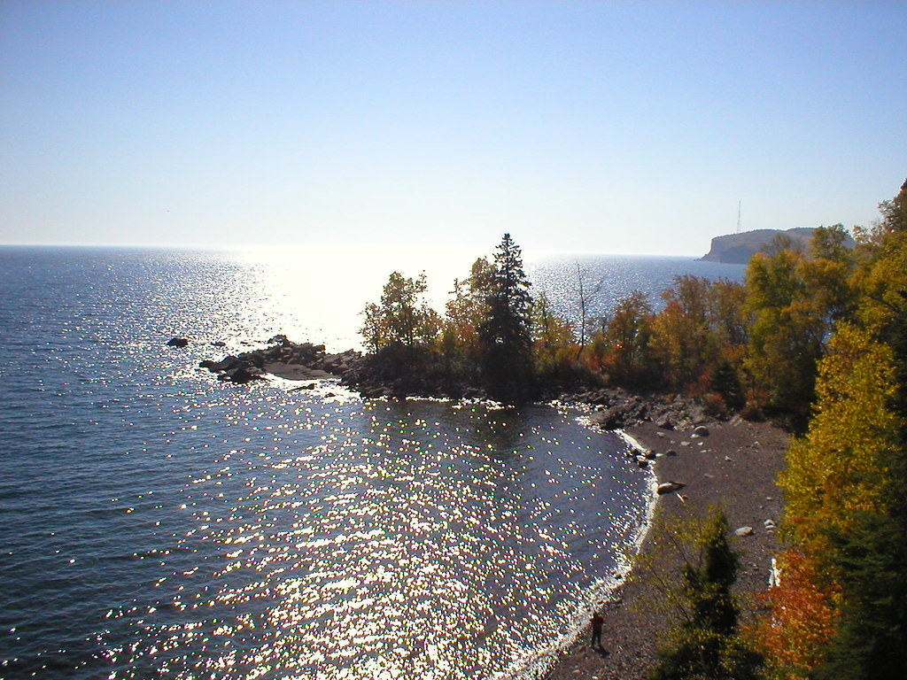
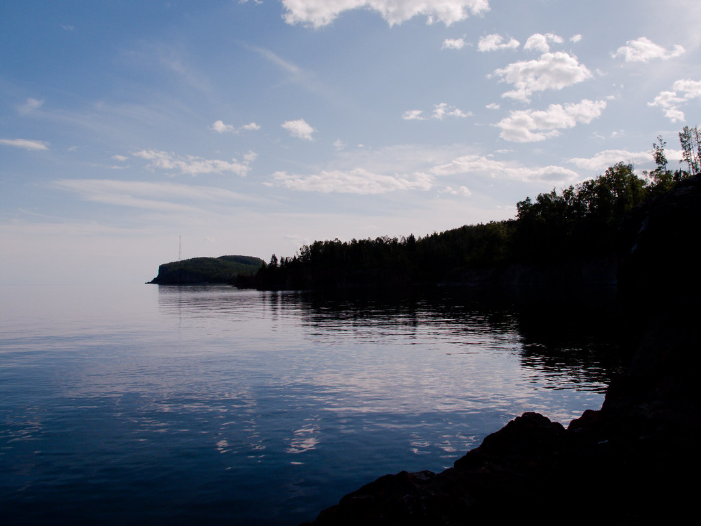
Shove Point view
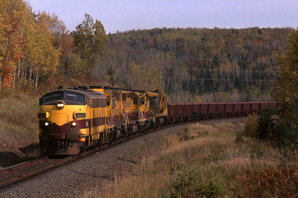
LTV #4211 Cramer Tunnel, Minnesota

View from the ridge
The view from my window on Thanksgiving eve. @jenbekman
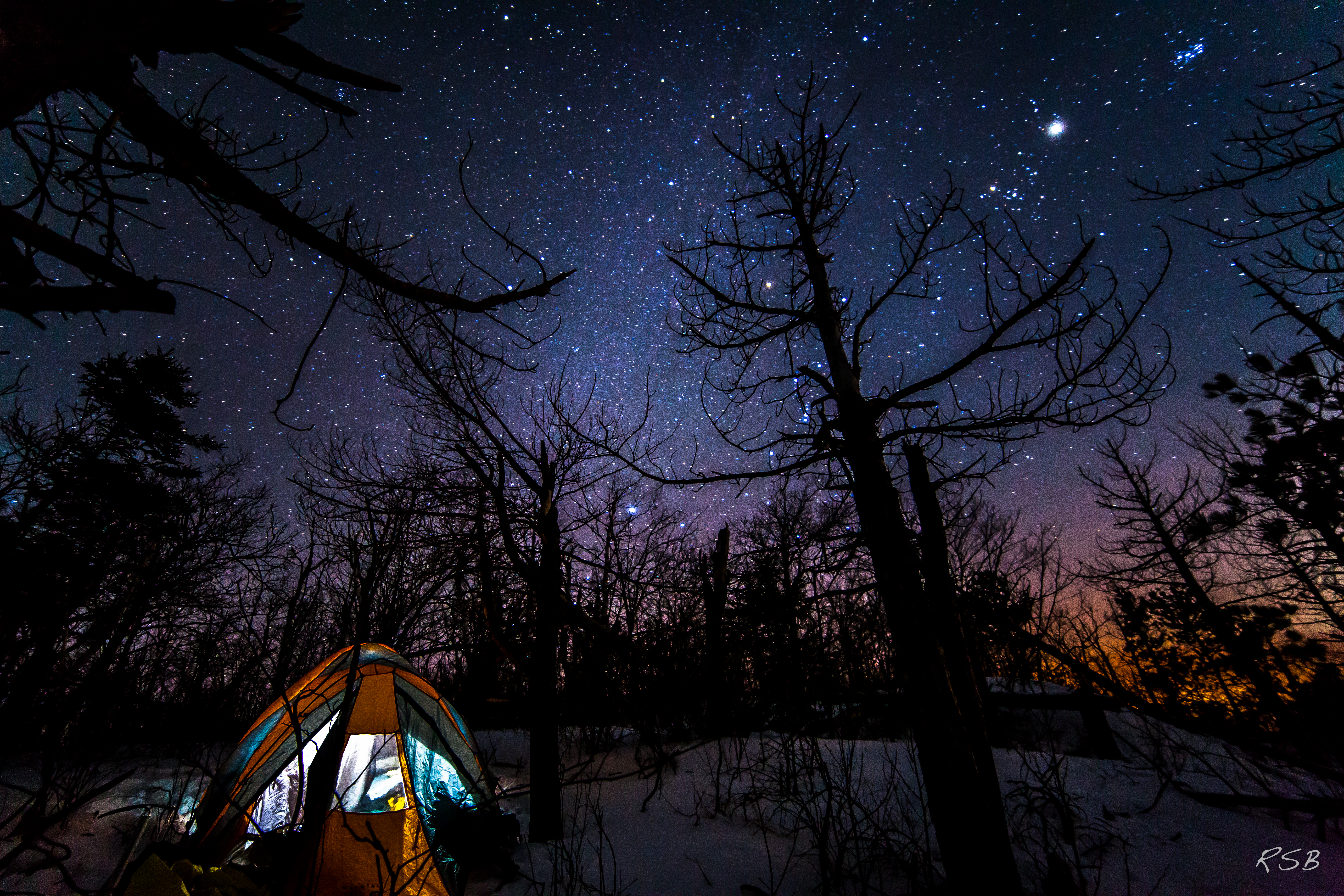
Campsite under the stars

Baptism River - North Shore
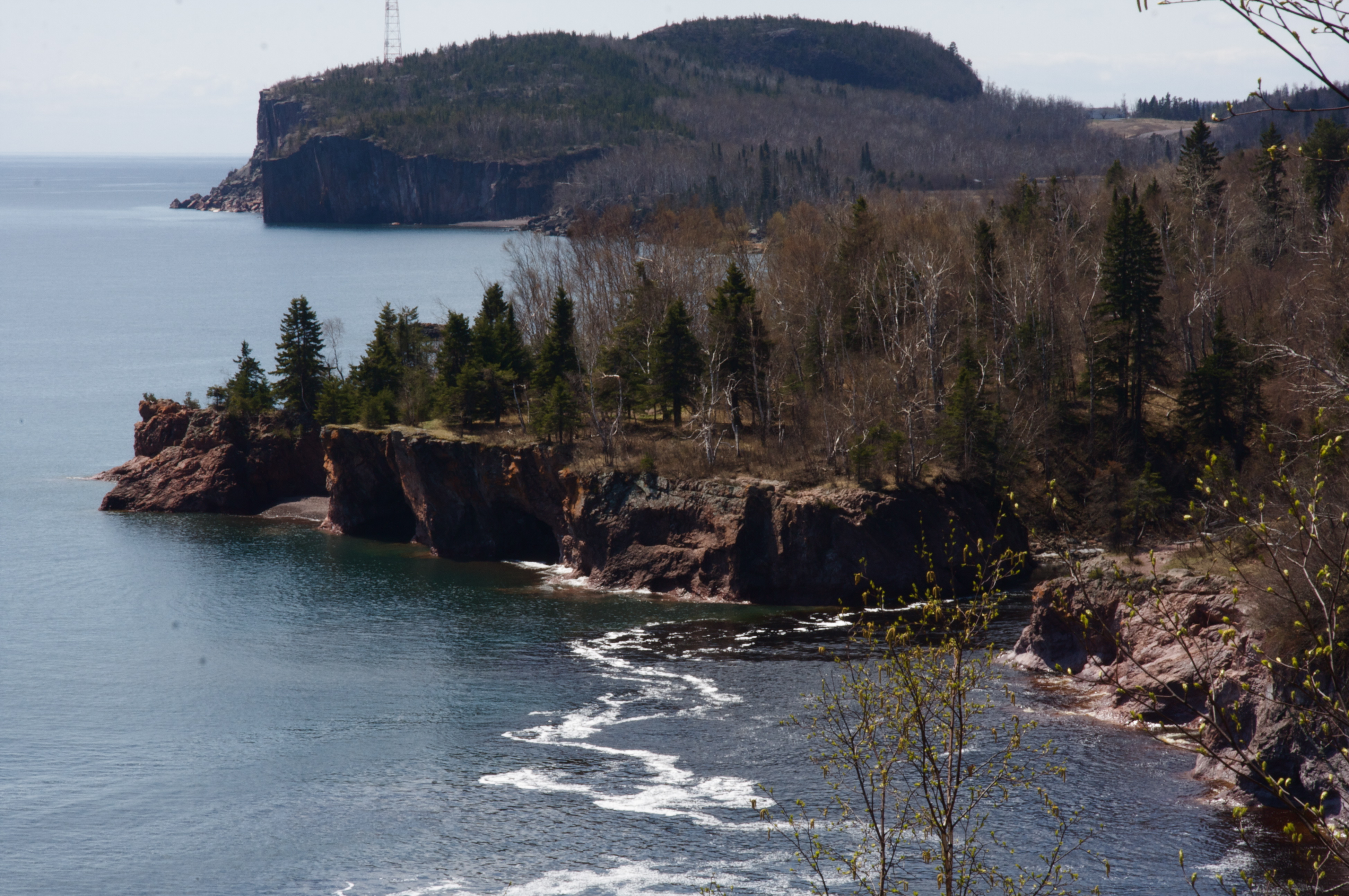
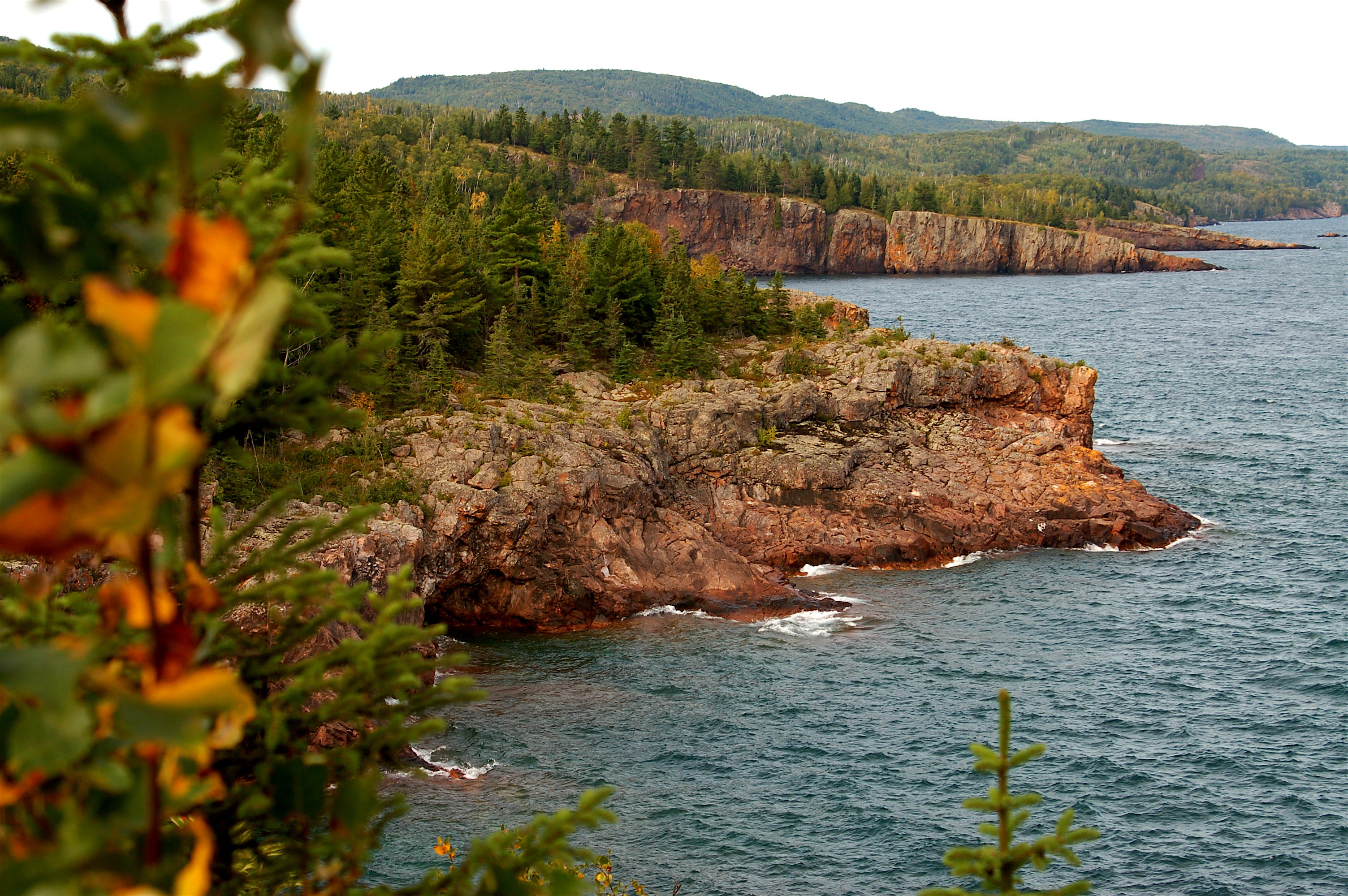
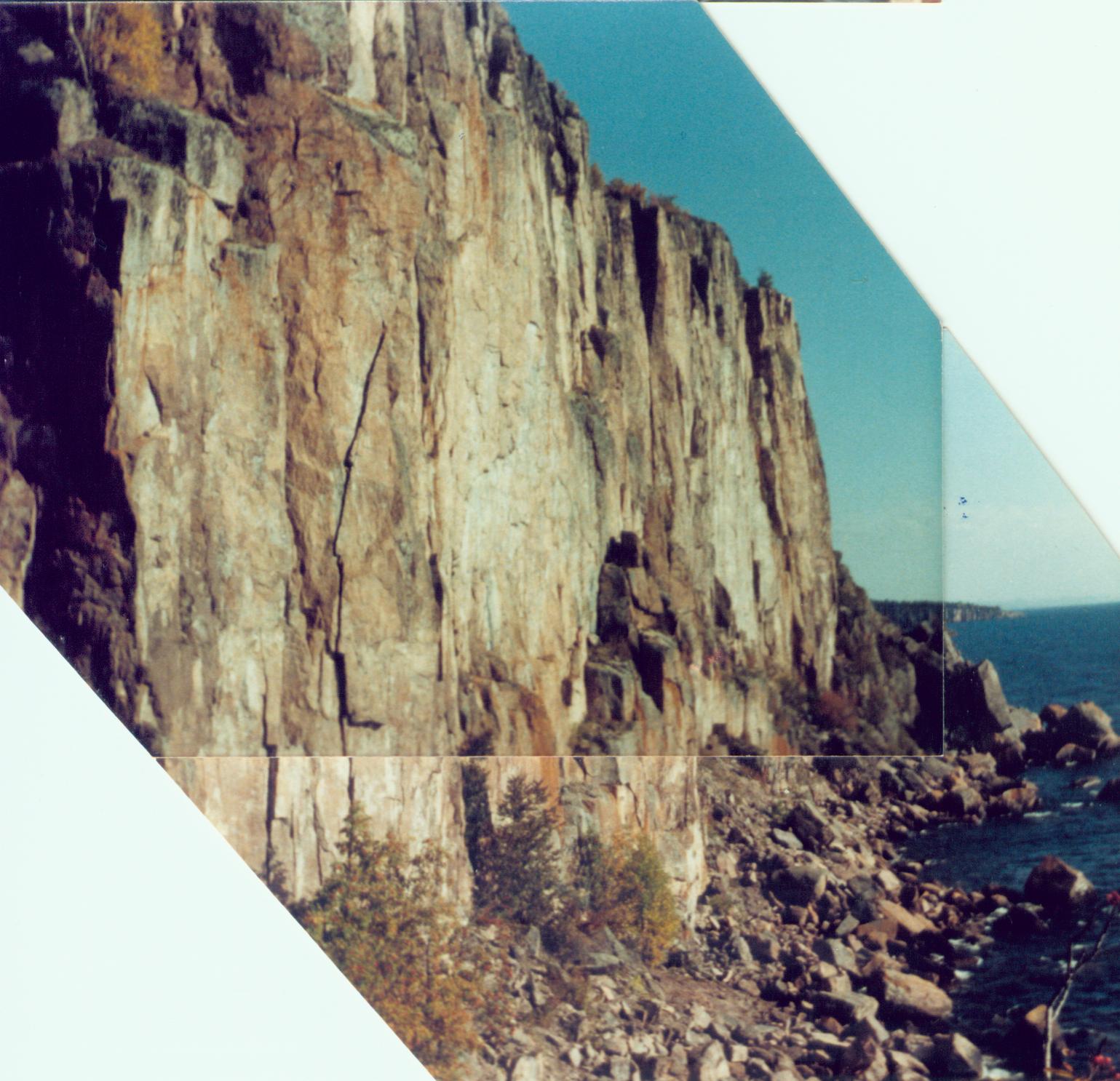
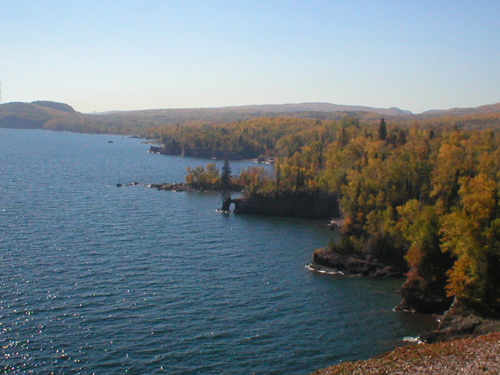
Palisade Head
Awesome view of the north shore...

A Place to Listen . . .
My favorite spot of the day
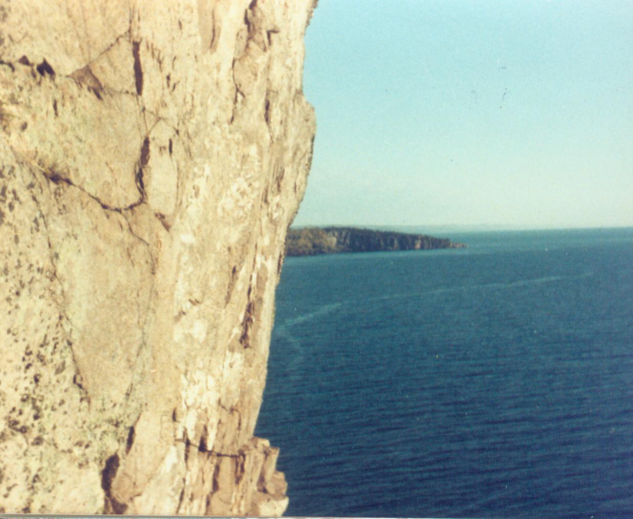
Tettegouche Cliff View
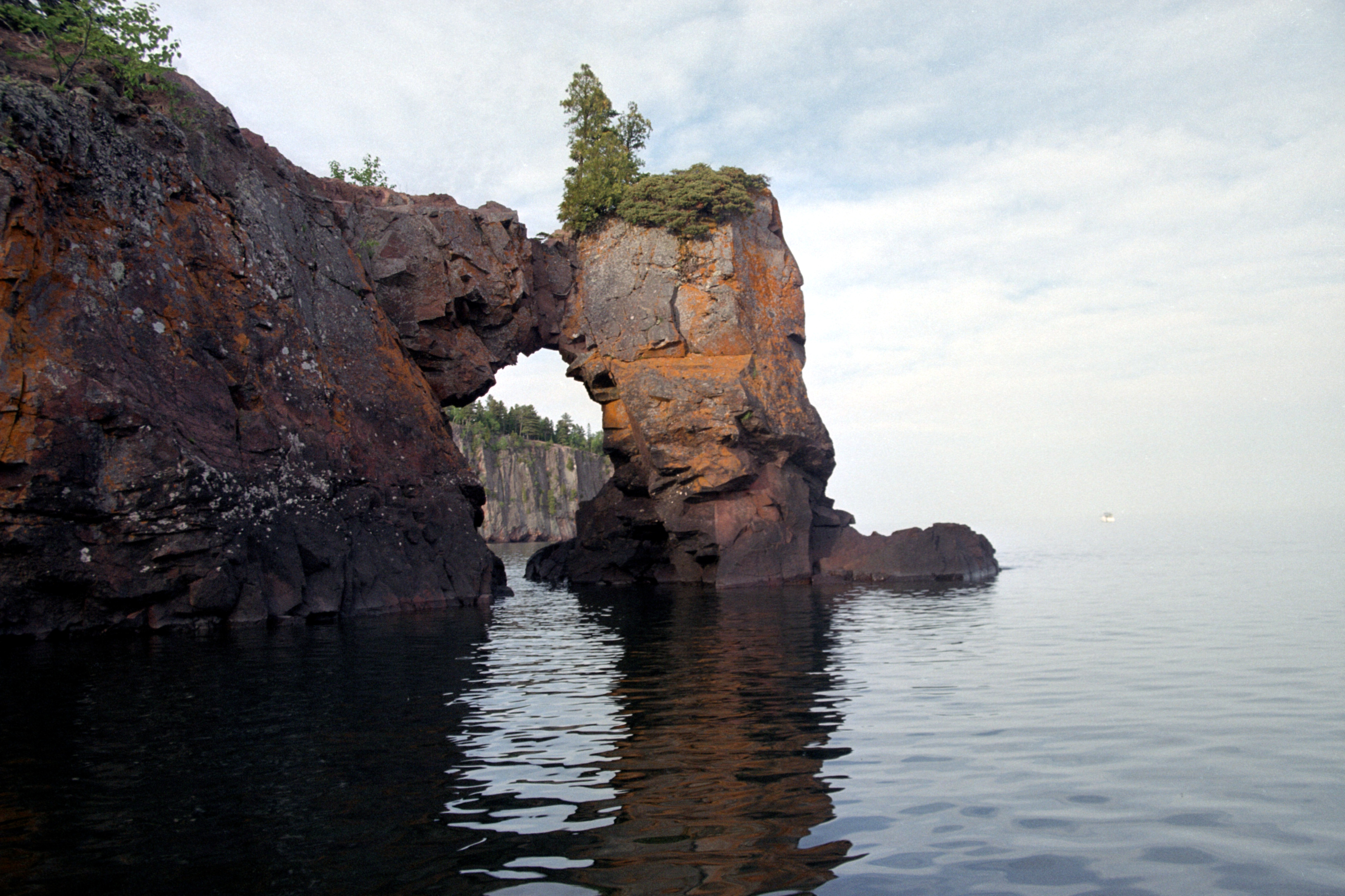
Rock arch
View of our campsite from above
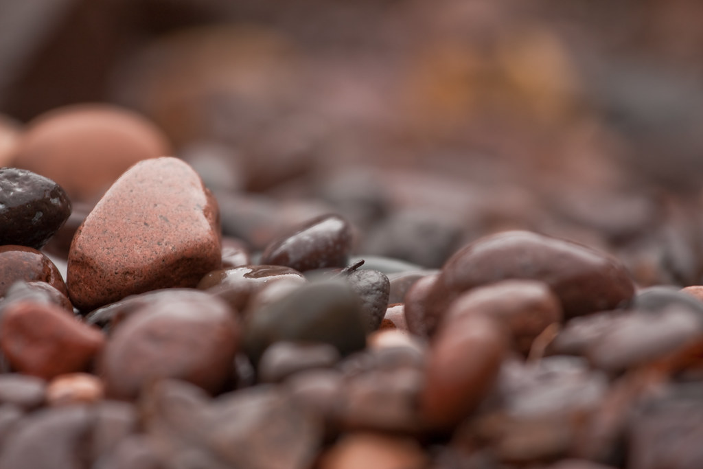
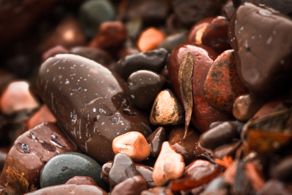
Shovel Point stones
palisade head013
View from shovel point
palisade head017
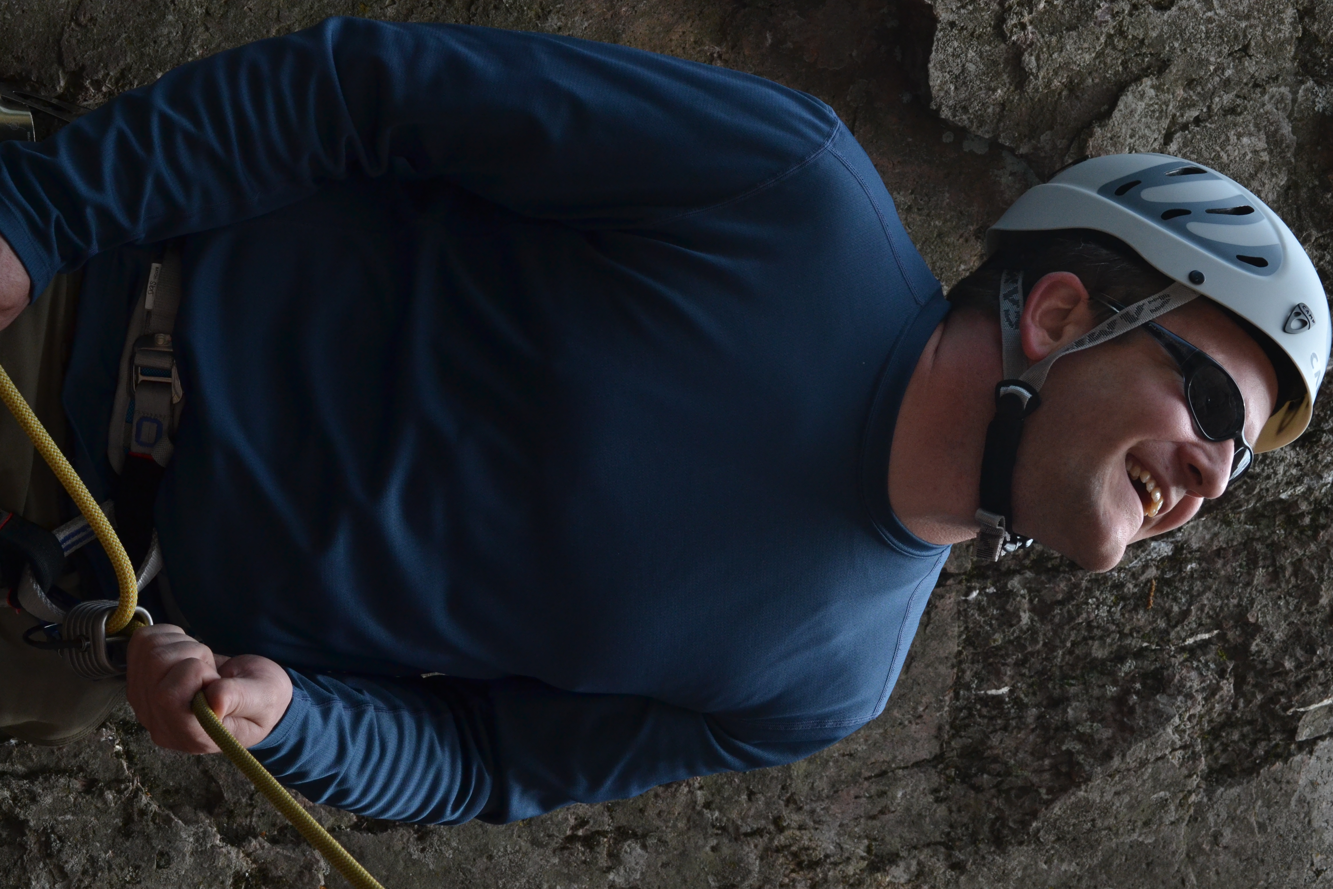
Belaying Jim's lead
palisade head007
palisade head012
North Shore beach
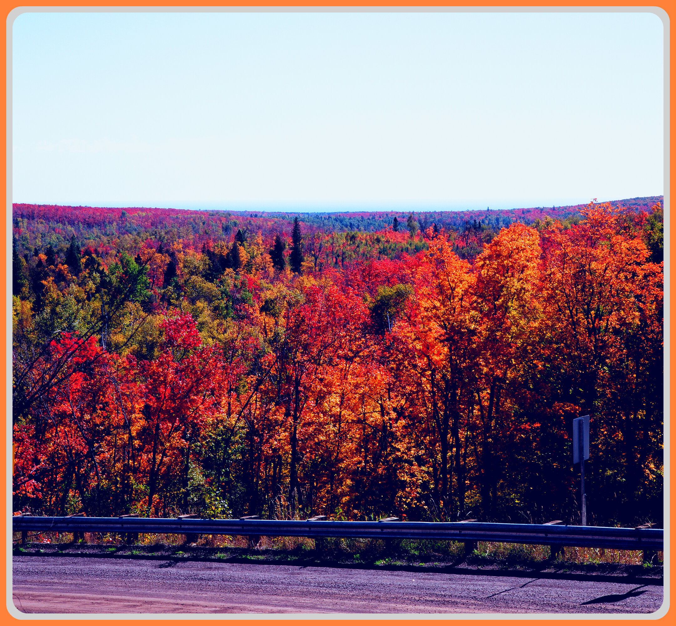
*** Some Roadside Splendor ***
* Road Less Traveled #342 * ~ Superior National Forest, Minnesota

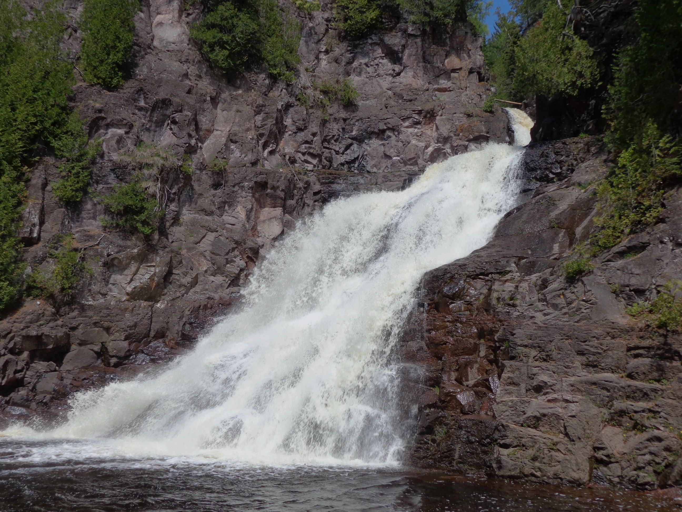
Shane at Tettegouche Falls5
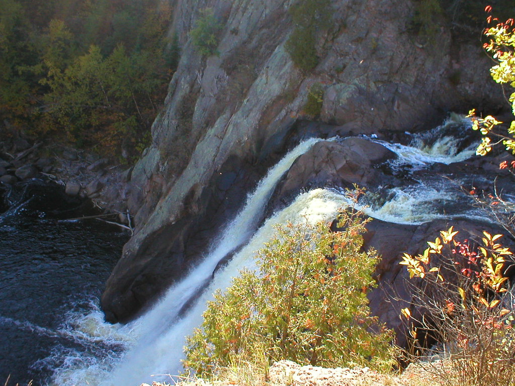
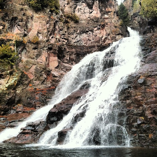
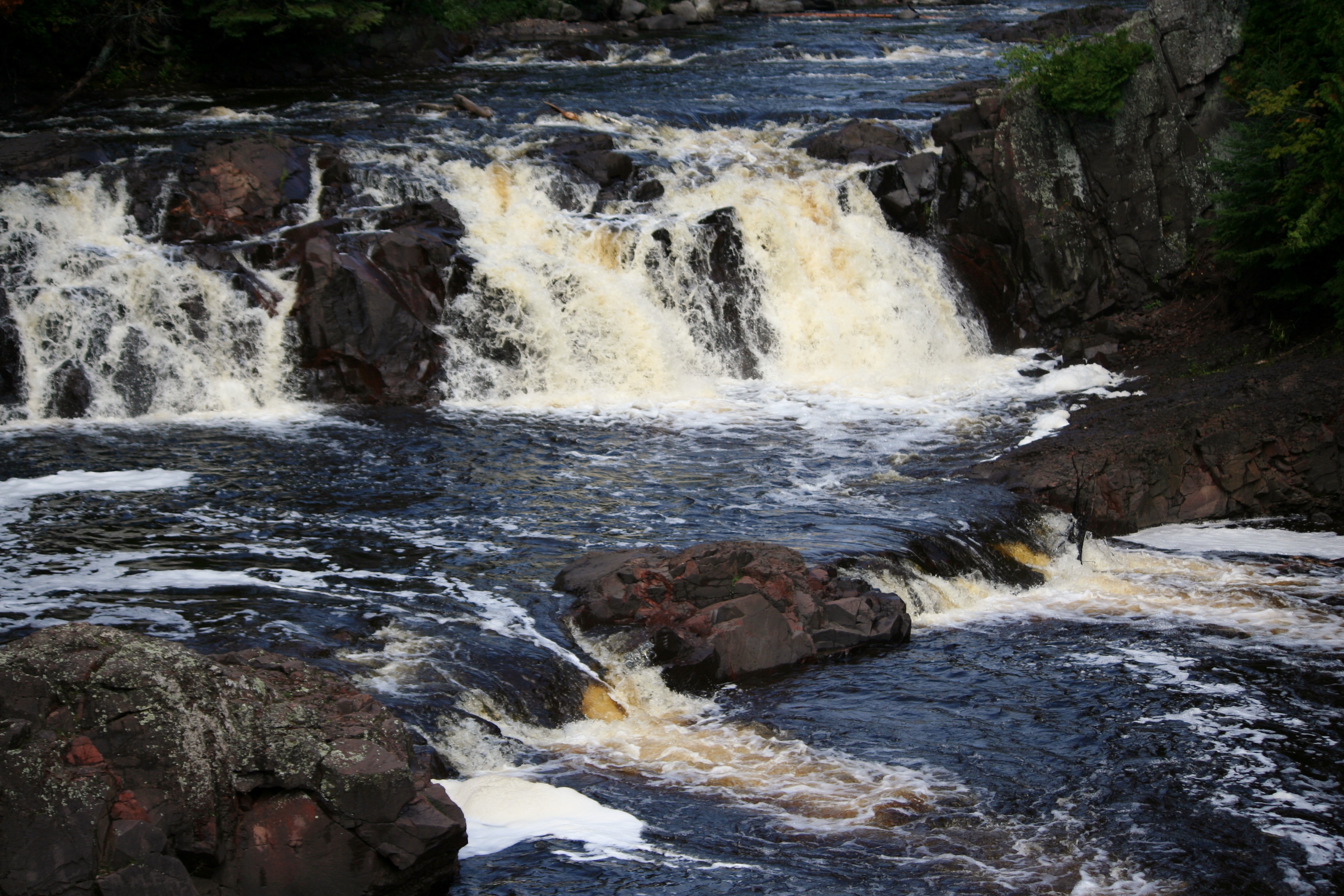
Tettegouche Falls
Minnesota Waterfall
Shovel Point Trail 2
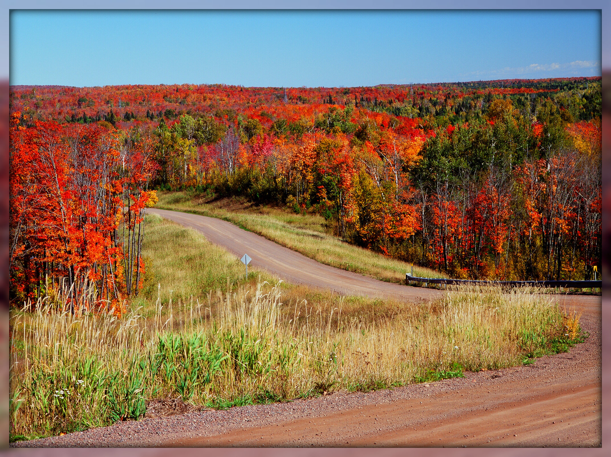
{Autumn Crossroads ~ Superior National Forest ~ Minnesota}
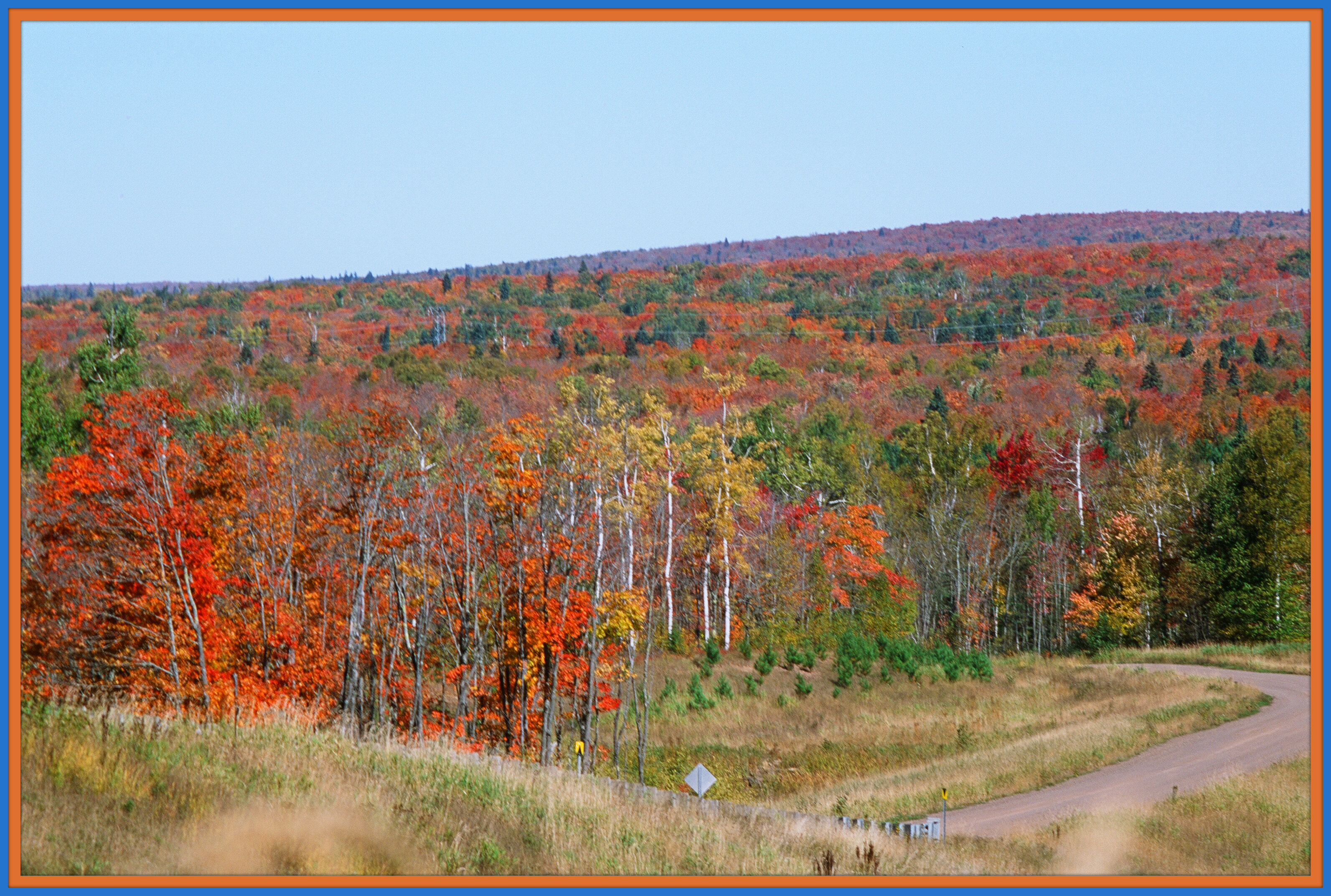
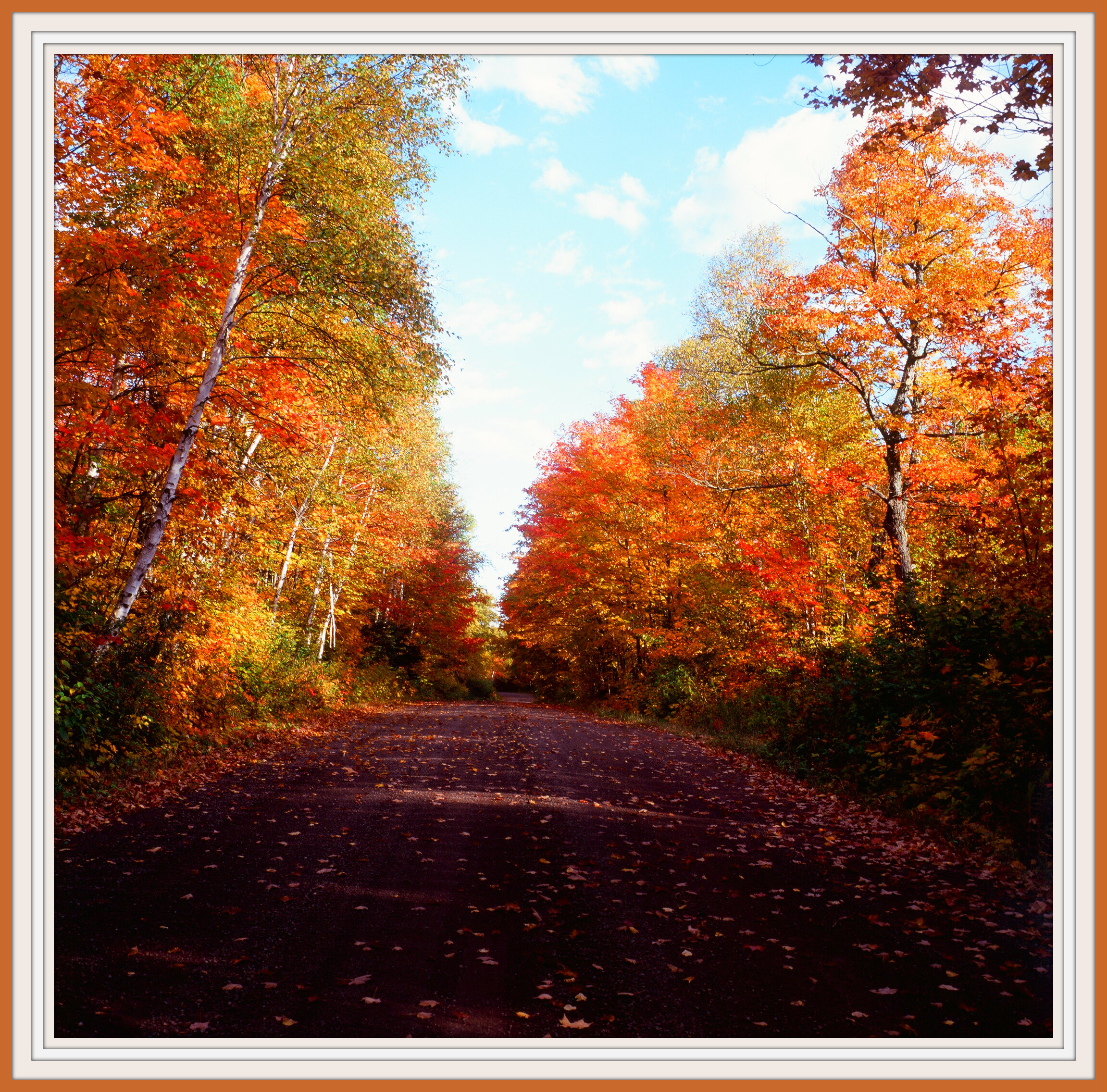
{Autumn Crossroads II. ~ Superior National Forest}
IMG_6270_HDR-Edit
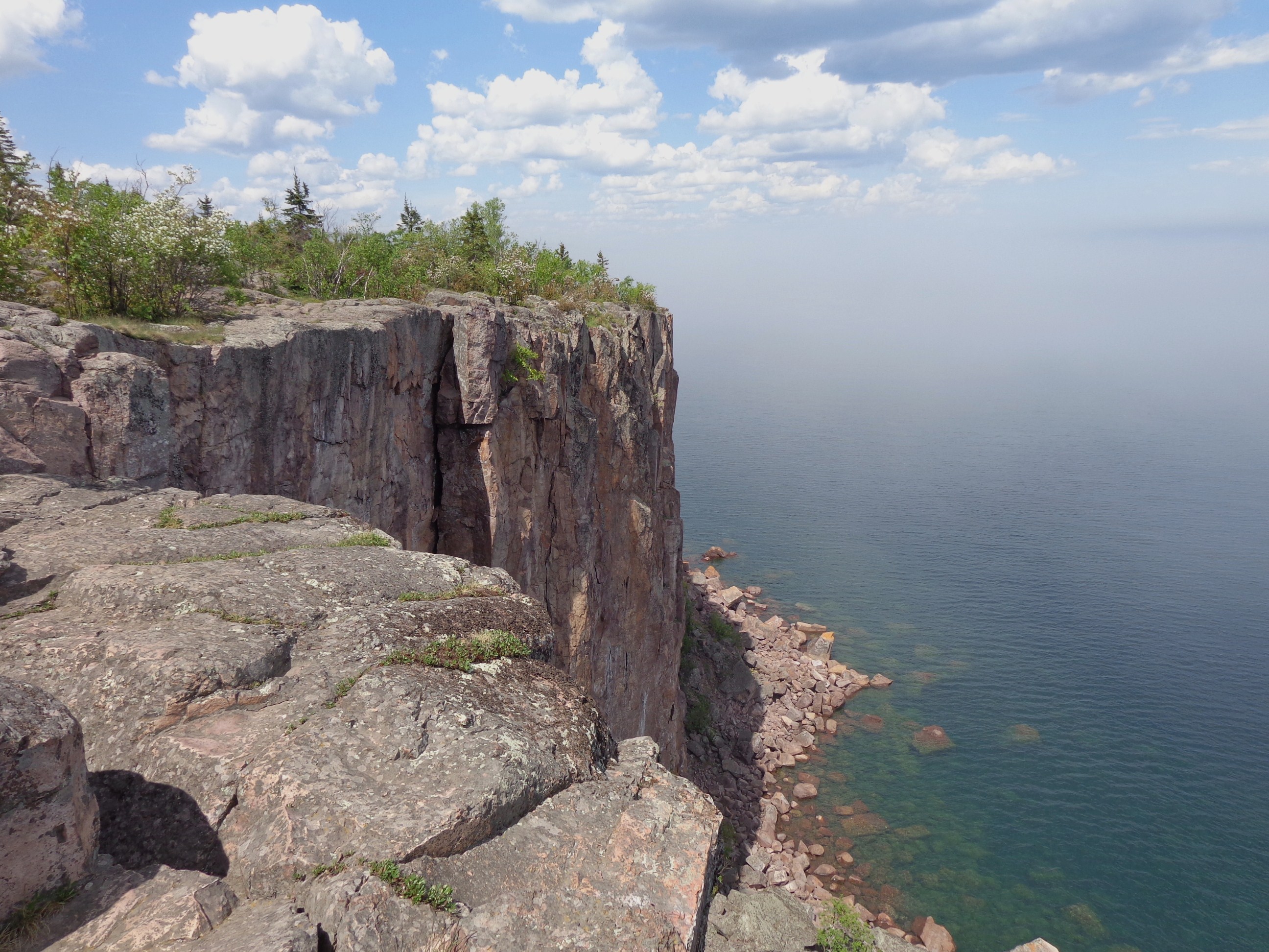
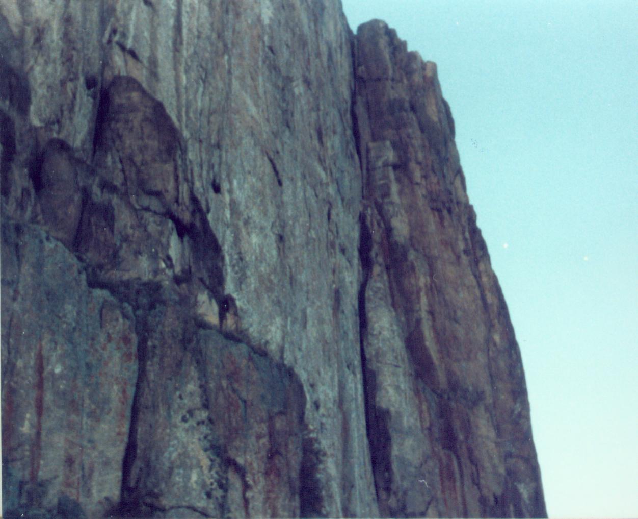
Palisade Head (8)

{Igneous Rock Configuration}
Caribou Falls (5)
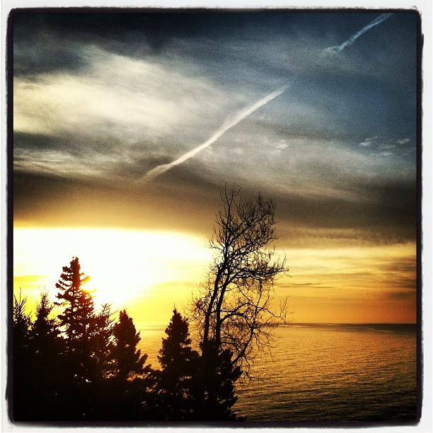
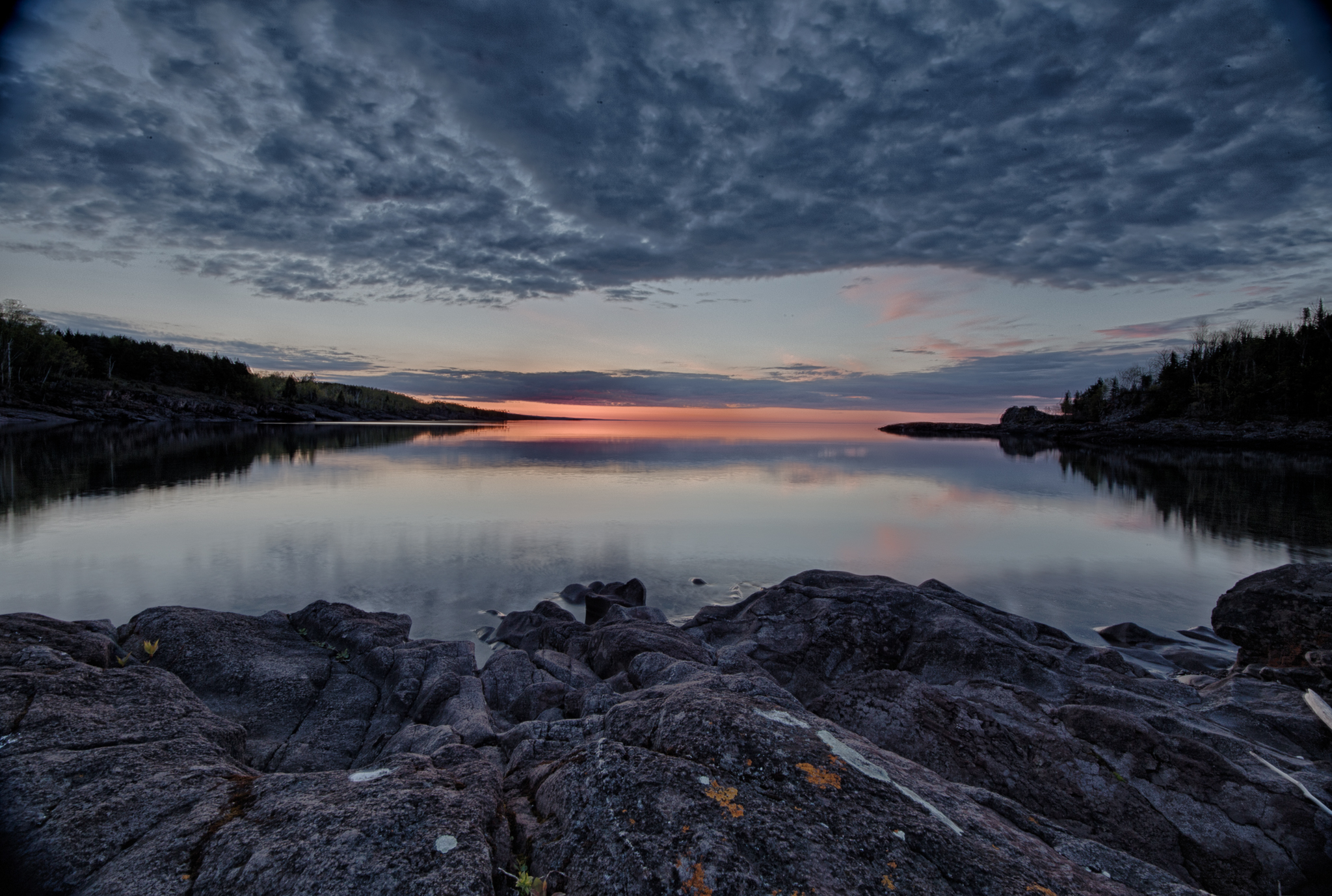
Thanksgiving dawning by Lake Superior.
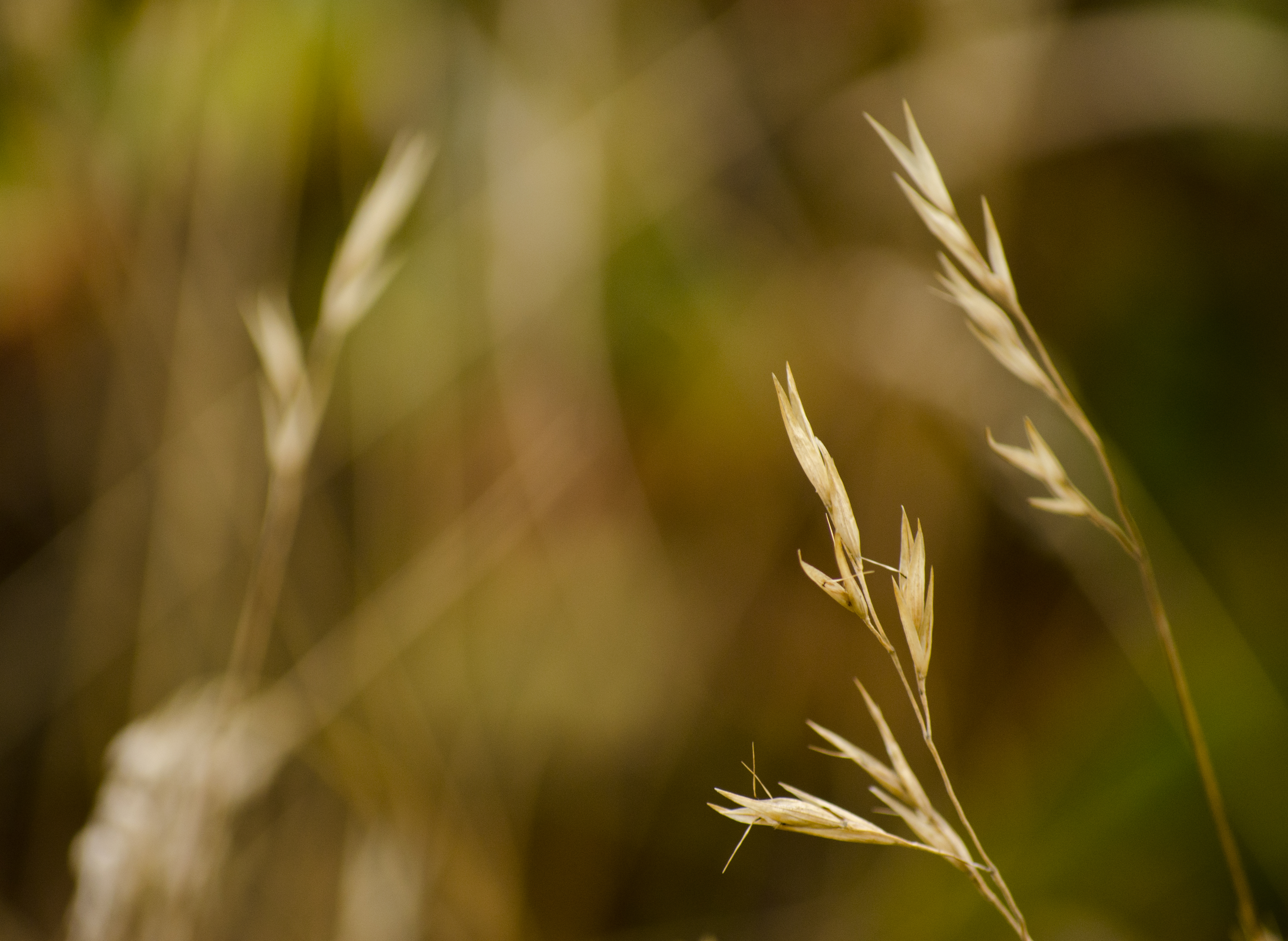
Autumn Grass

Beautiful #waterfall at Caribou river!
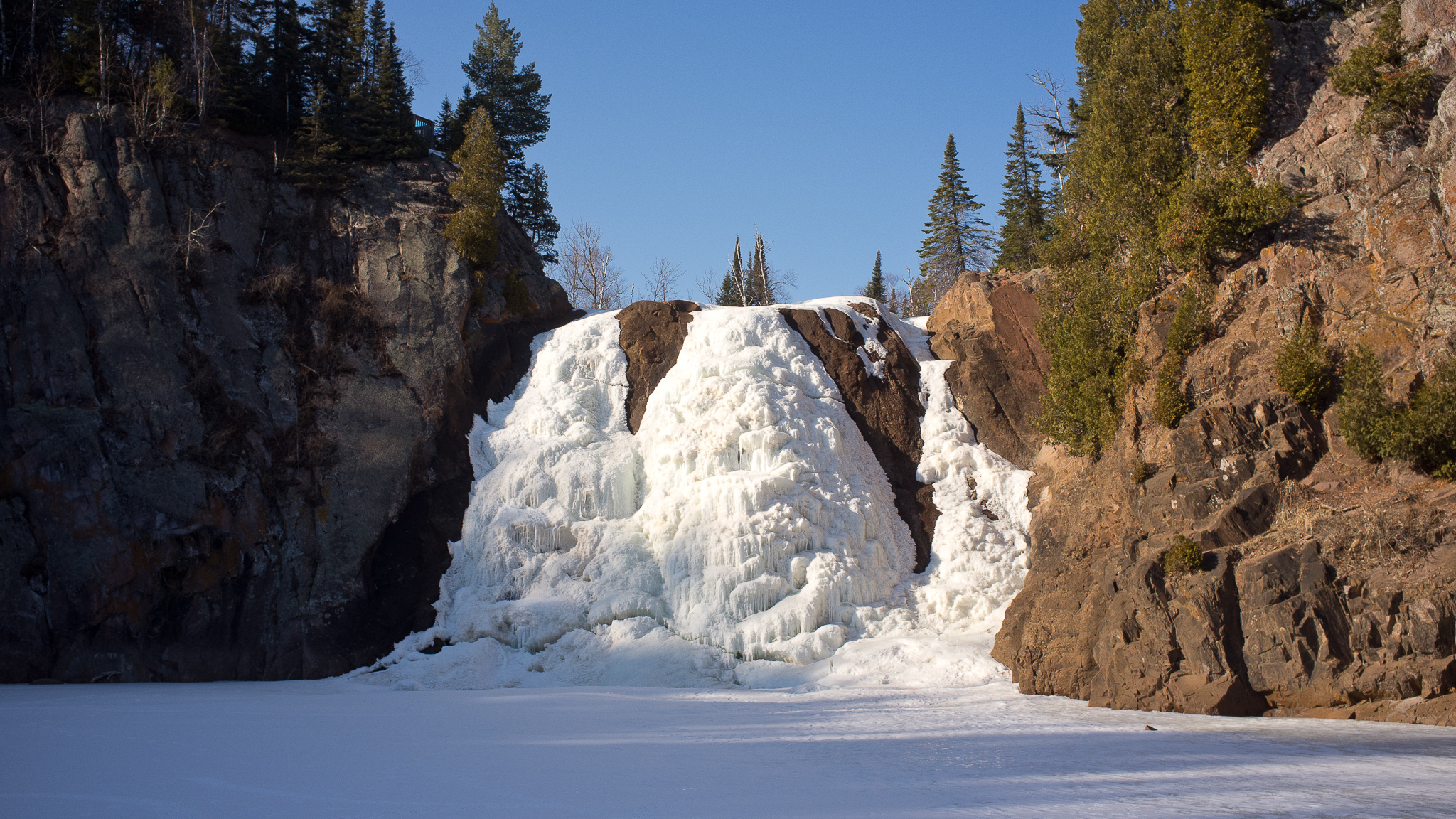
Waterfall, Frozen

Palisade Head
The falls
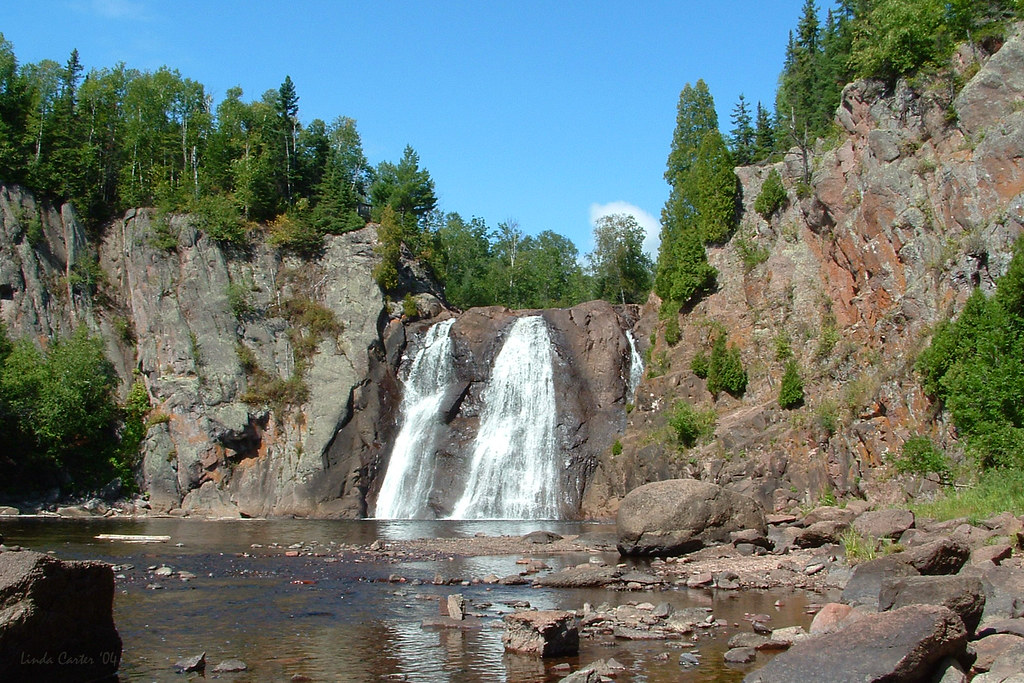
Two Step Falls
IMG_6022.jpg
Topographic Map of MN-61, Silver Bay, MN, USA
Find elevation by address:

Places near MN-61, Silver Bay, MN, USA:
MN-61, Silver Bay, MN, USA
MN-61, Silver Bay, MN, USA
Tettegouche State Park
Finland
Ninemile Lake
Silver Bay
50 Outer Dr, Silver Bay, MN, USA
Lax Lake Rd, Silver Bay, MN, USA
Hart St, Finland, MN, USA
Beaver Bay
Crystal Bay Township
Lake No. 1
Schroeder
Carlton Creek
MN-1, Isabella, MN, USA
Tofte
Leveaux Ridge
6610 Mn-61
Oberg Mountain
Eagle Mountain
Recent Searches:
- Elevation of Tenjo, Cundinamarca, Colombia
- Elevation of Côte-des-Neiges, Montreal, QC H4A 3J6, Canada
- Elevation of Bobcat Dr, Helena, MT, USA
- Elevation of Zu den Ihlowbergen, Althüttendorf, Germany
- Elevation of Badaber, Peshawar, Khyber Pakhtunkhwa, Pakistan
- Elevation of SE Heron Loop, Lincoln City, OR, USA
- Elevation of Slanický ostrov, 01 Námestovo, Slovakia
- Elevation of Spaceport America, Co Rd A, Truth or Consequences, NM, USA
- Elevation of Warwick, RI, USA
- Elevation of Fern Rd, Whitmore, CA, USA