Elevation of MN-60, Kenyon, MN, USA
Location: United States > Minnesota > Goodhue County > Cherry Grove Township >
Longitude: -92.892268
Latitude: 44.283586
Elevation: 359m / 1178feet
Barometric Pressure: 97KPa
Elevation Map:
Satellite Map:
Related Photos:
Country Views

12-06-2014

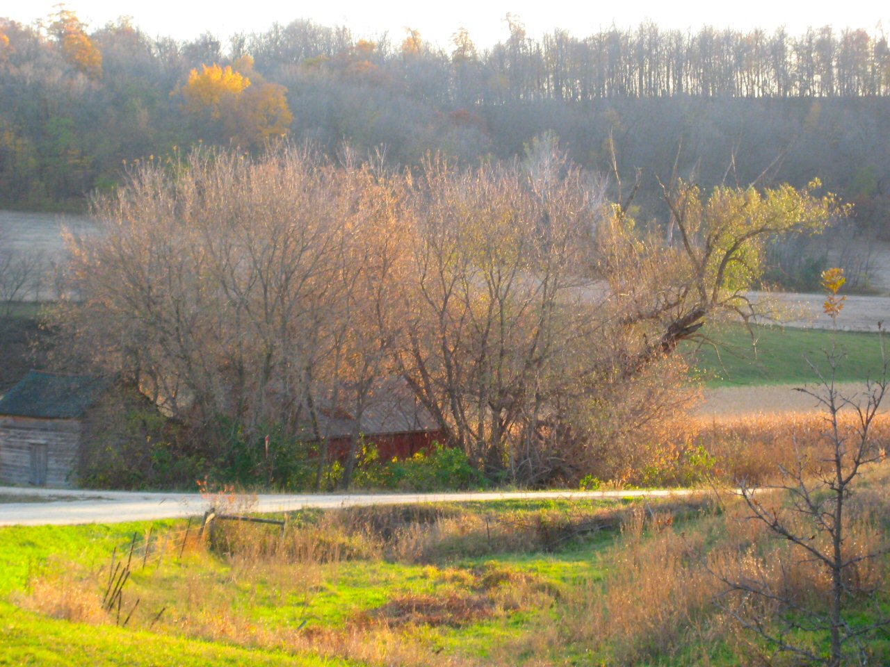
Mingo Trees
Fall Scenery
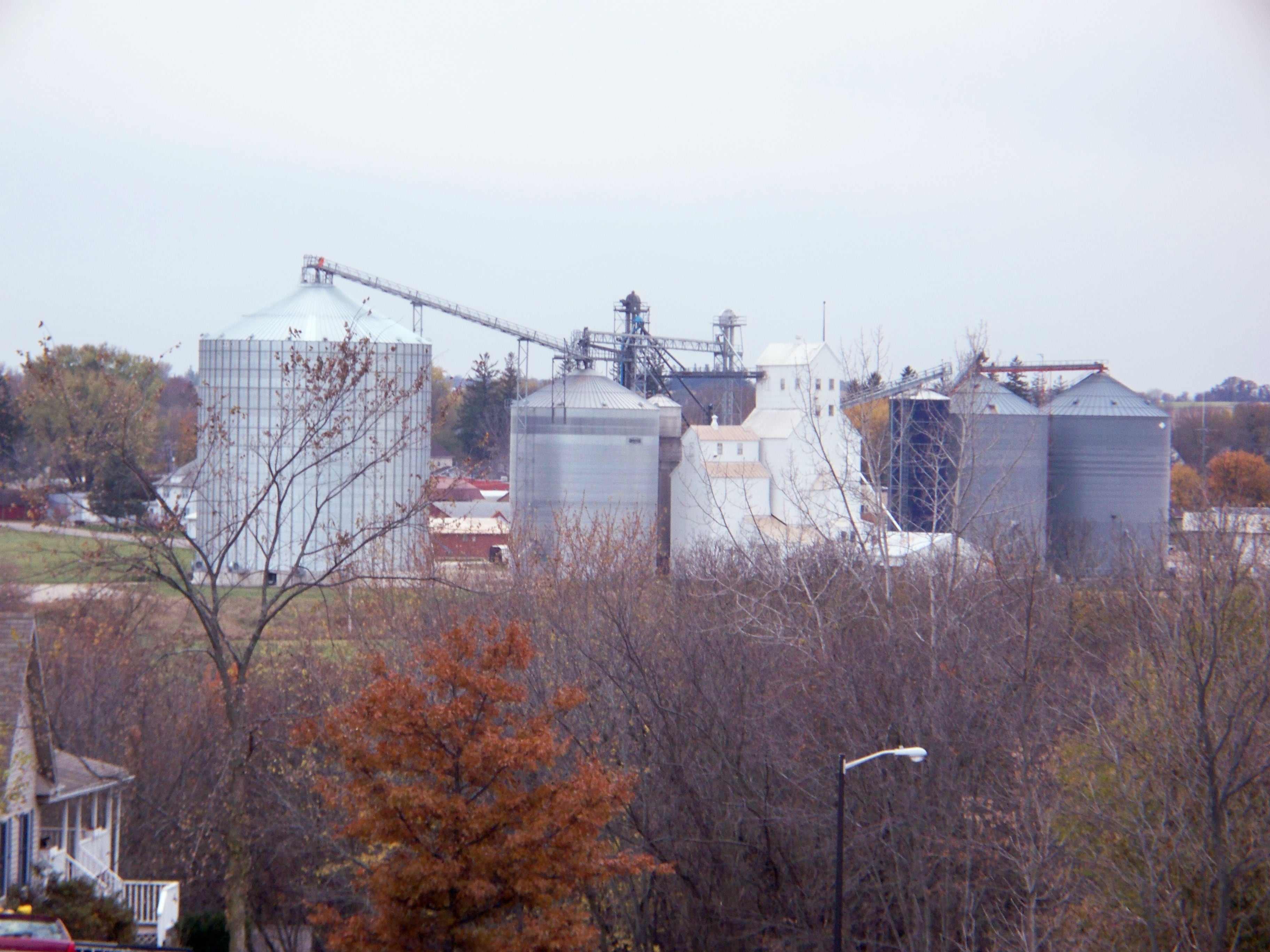
Wanamingo Elevators
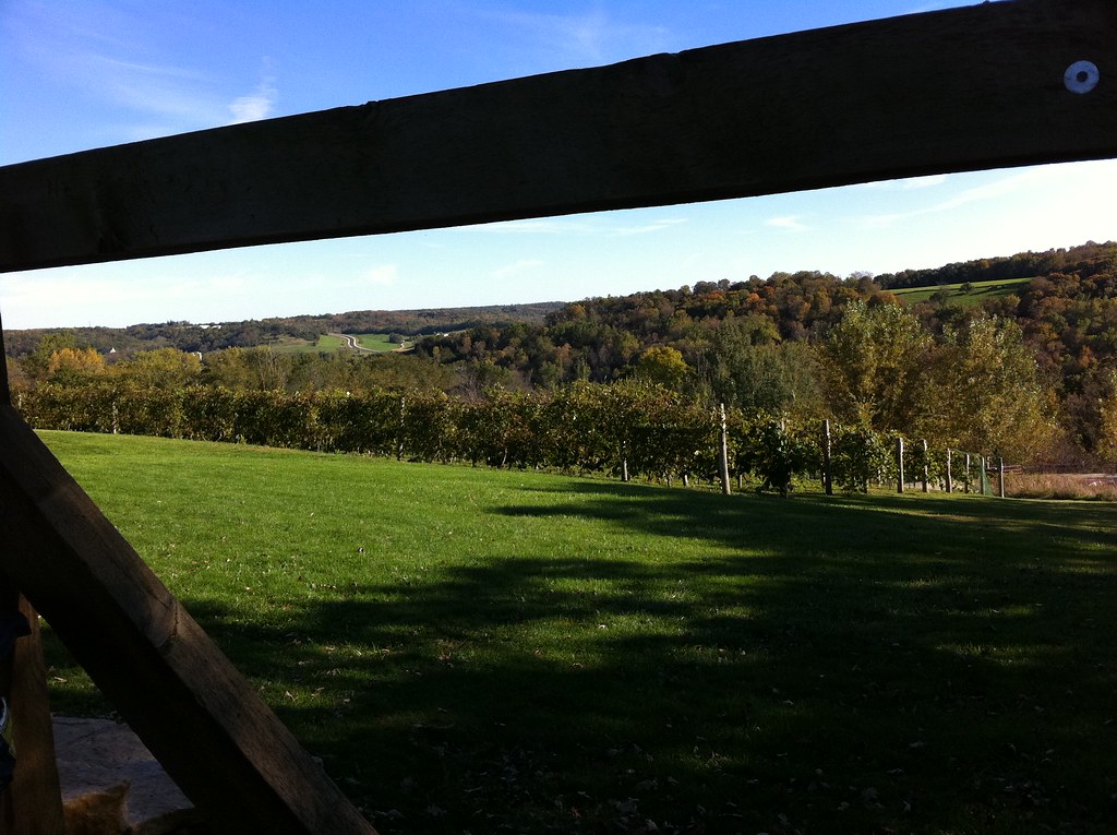
Vineyard view

Cannon River Winery Vineyard
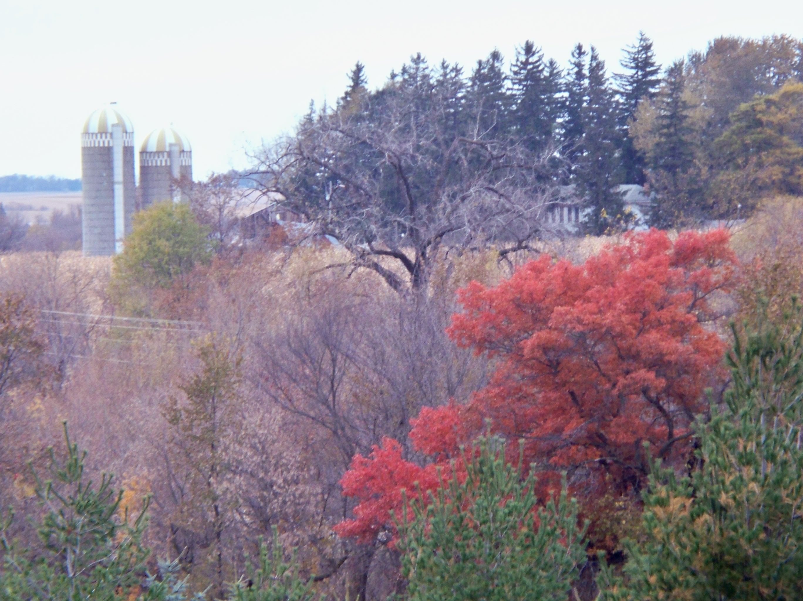
Mingo View Hill
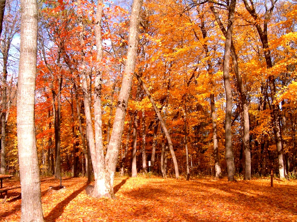
Autumn in Minnesota
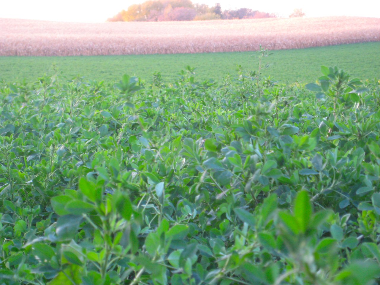
Fields of Green and Gold

My Homeland No. 7 #winter #landscape #abstract #slowshutter #motionblur #lo-fi

My Homeland No. 3 #abstract #rotated #landscape #winter #grunge

Lone Oak Farm

Below zero

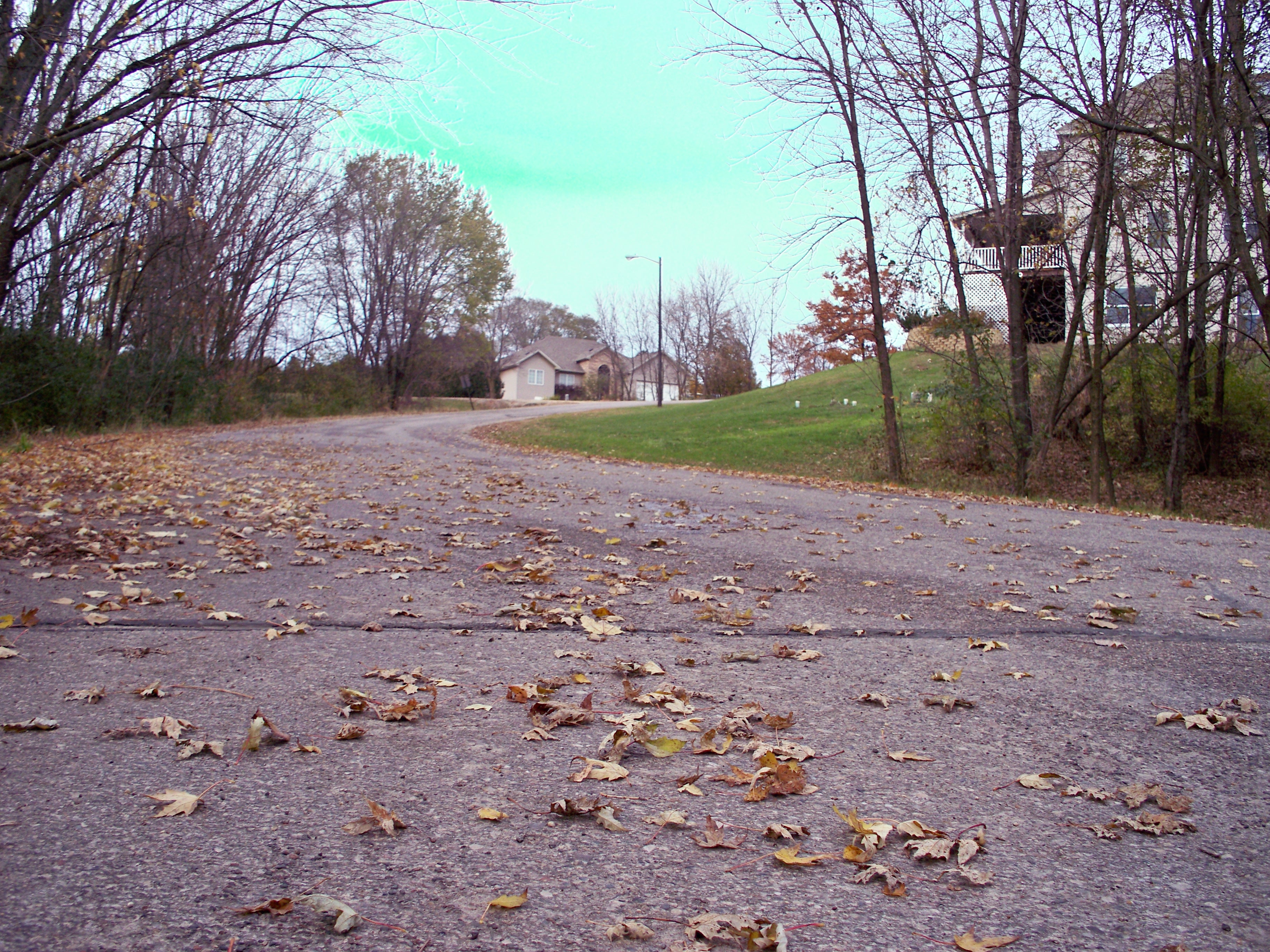
On the Edge of Kenyon, Minnesota

Turk hunt 125

County 49 Boulevard
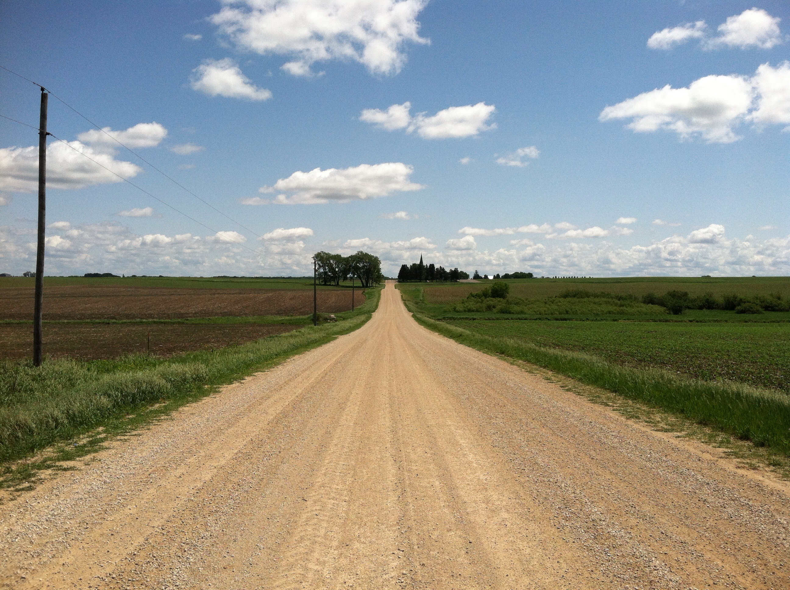
Goodhue County Gravel
Topographic Map of MN-60, Kenyon, MN, USA
Find elevation by address:

Places near MN-60, Kenyon, MN, USA:
7910 County 11 Blvd
Cherry Grove Township
90045 75th Ave
Red Wing Ave, Kenyon, MN, USA
11539 200th St E
Main St, Nerstrand, MN, USA
Wasioja Township
Cannon Falls
Main St W, Cannon Falls, MN, USA
Northfield Township
10379 James Trail
Dane Rd, Owatonna, MN, USA
Wheeling Township
10366 James Trail
Richland Township
62568 T-200
62658 T-200
Dodge Center
S Elm St, Claremont, MN, USA
Claremont
Recent Searches:
- Elevation of Corso Fratelli Cairoli, 35, Macerata MC, Italy
- Elevation of Tallevast Rd, Sarasota, FL, USA
- Elevation of 4th St E, Sonoma, CA, USA
- Elevation of Black Hollow Rd, Pennsdale, PA, USA
- Elevation of Oakland Ave, Williamsport, PA, USA
- Elevation of Pedrógão Grande, Portugal
- Elevation of Klee Dr, Martinsburg, WV, USA
- Elevation of Via Roma, Pieranica CR, Italy
- Elevation of Tavkvetili Mountain, Georgia
- Elevation of Hartfords Bluff Cir, Mt Pleasant, SC, USA