Elevation of Mlimba, Tanzania
Location: Tanzania > Iringa Region > Mufindi >
Longitude: 35.8089055
Latitude: -8.7824511
Elevation: 332m / 1089feet
Barometric Pressure: 97KPa
Elevation Map:
Satellite Map:
Related Photos:
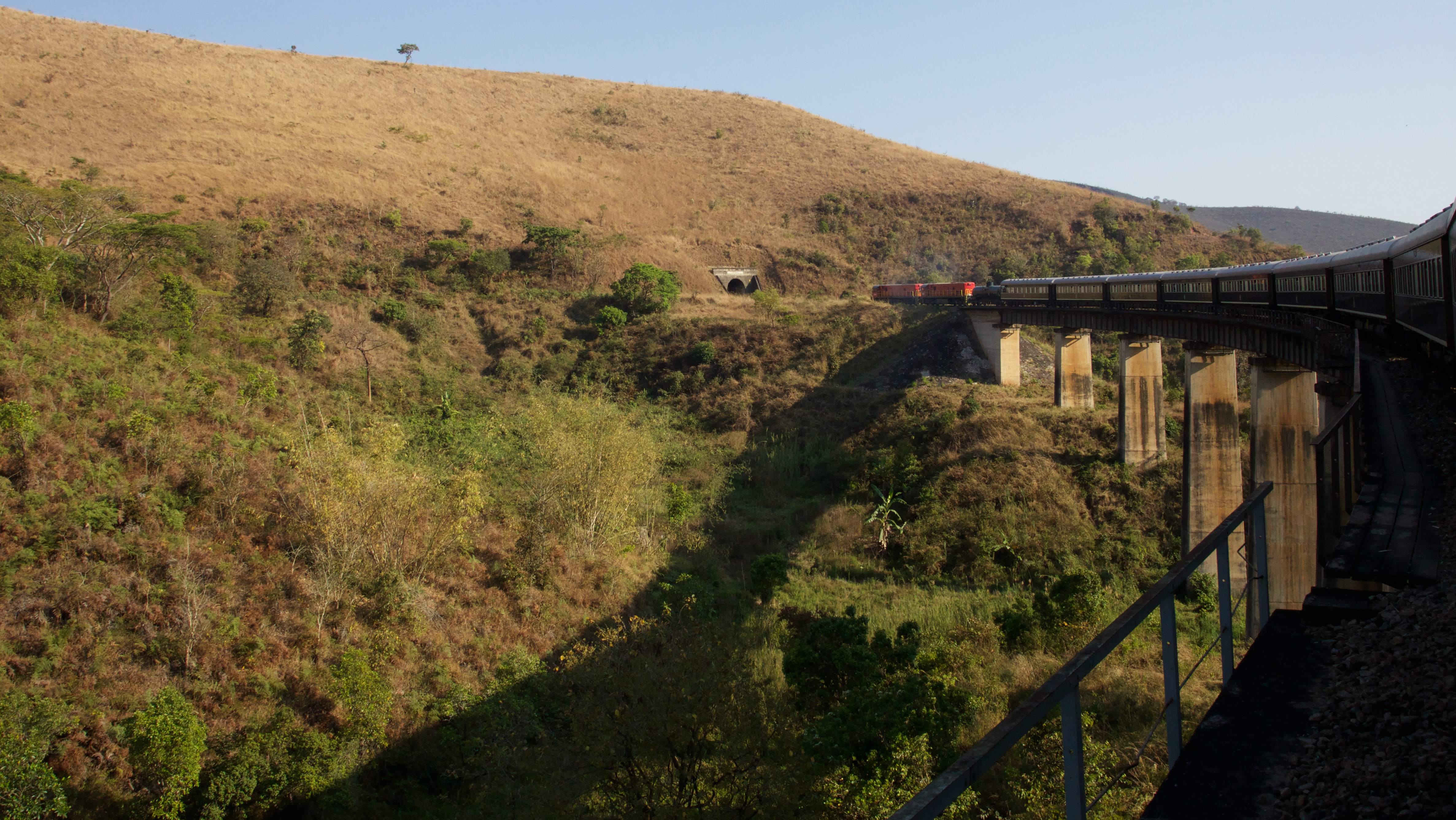
Over the river and into the tunnel

Ashes, ashes...
Topographic Map of Mlimba, Tanzania
Find elevation by address:

Places near Mlimba, Tanzania:
Tanganyika
Ruhudji River
Mufindi
Mufindi Club - Lugoda
Mufindi
Unnamed Road
Mninga
Ulanga
Mfriga
Itambo Dispensary
Recent Searches:
- Elevation of Congressional Dr, Stevensville, MD, USA
- Elevation of Bellview Rd, McLean, VA, USA
- Elevation of Stage Island Rd, Chatham, MA, USA
- Elevation of Shibuya Scramble Crossing, 21 Udagawacho, Shibuya City, Tokyo -, Japan
- Elevation of Jadagoniai, Kaunas District Municipality, Lithuania
- Elevation of Pagonija rock, Kranto 7-oji g. 8"N, Kaunas, Lithuania
- Elevation of Co Rd 87, Jamestown, CO, USA
- Elevation of Tenjo, Cundinamarca, Colombia
- Elevation of Côte-des-Neiges, Montreal, QC H4A 3J6, Canada
- Elevation of Bobcat Dr, Helena, MT, USA