Elevation of Mkoani, Tanzania
Location: Tanzania > Pemba South >
Longitude: 39.6492359
Latitude: -5.3581315
Elevation: 35m / 115feet
Barometric Pressure: 101KPa
Elevation Map:
Satellite Map:
Related Photos:
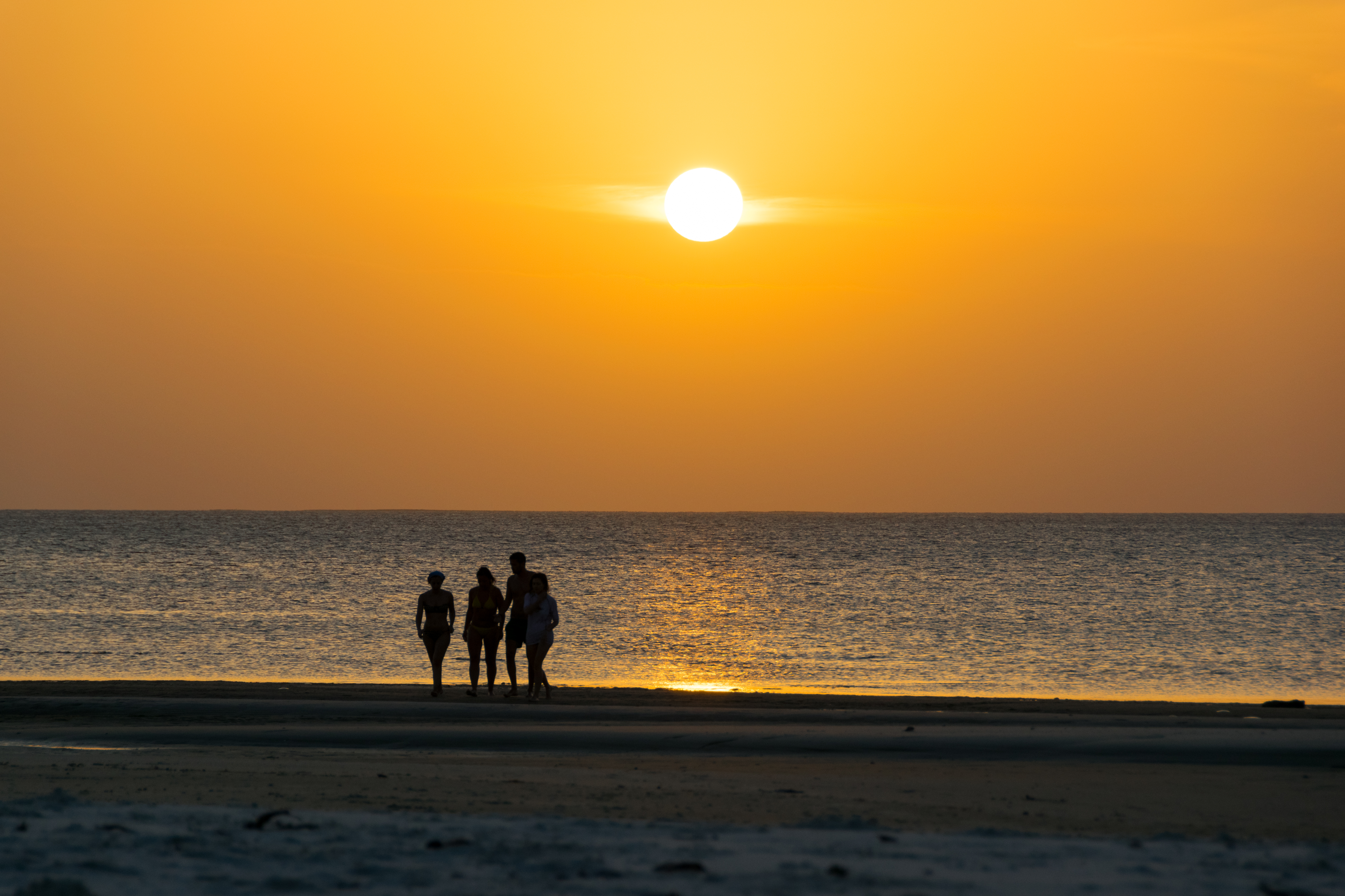
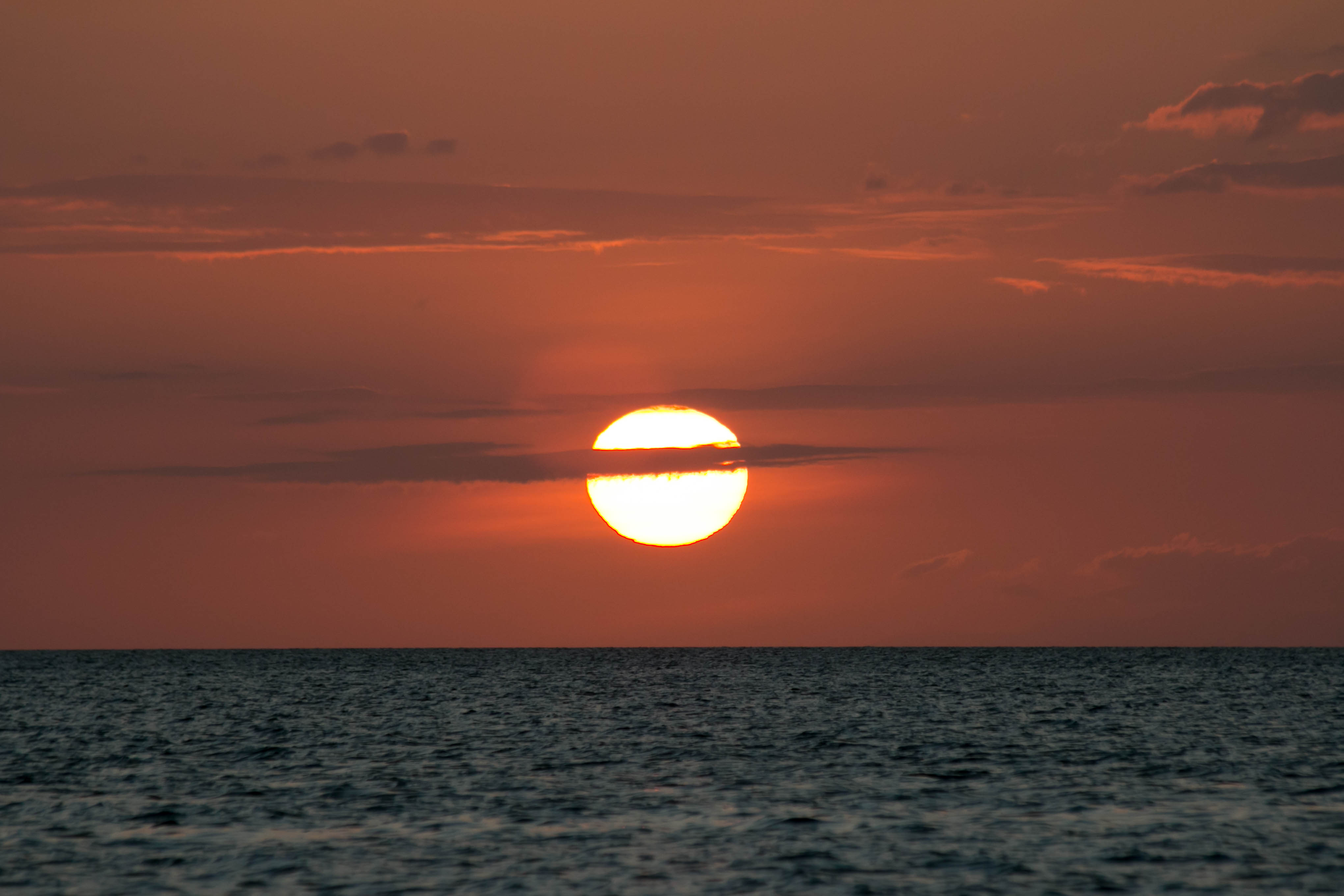
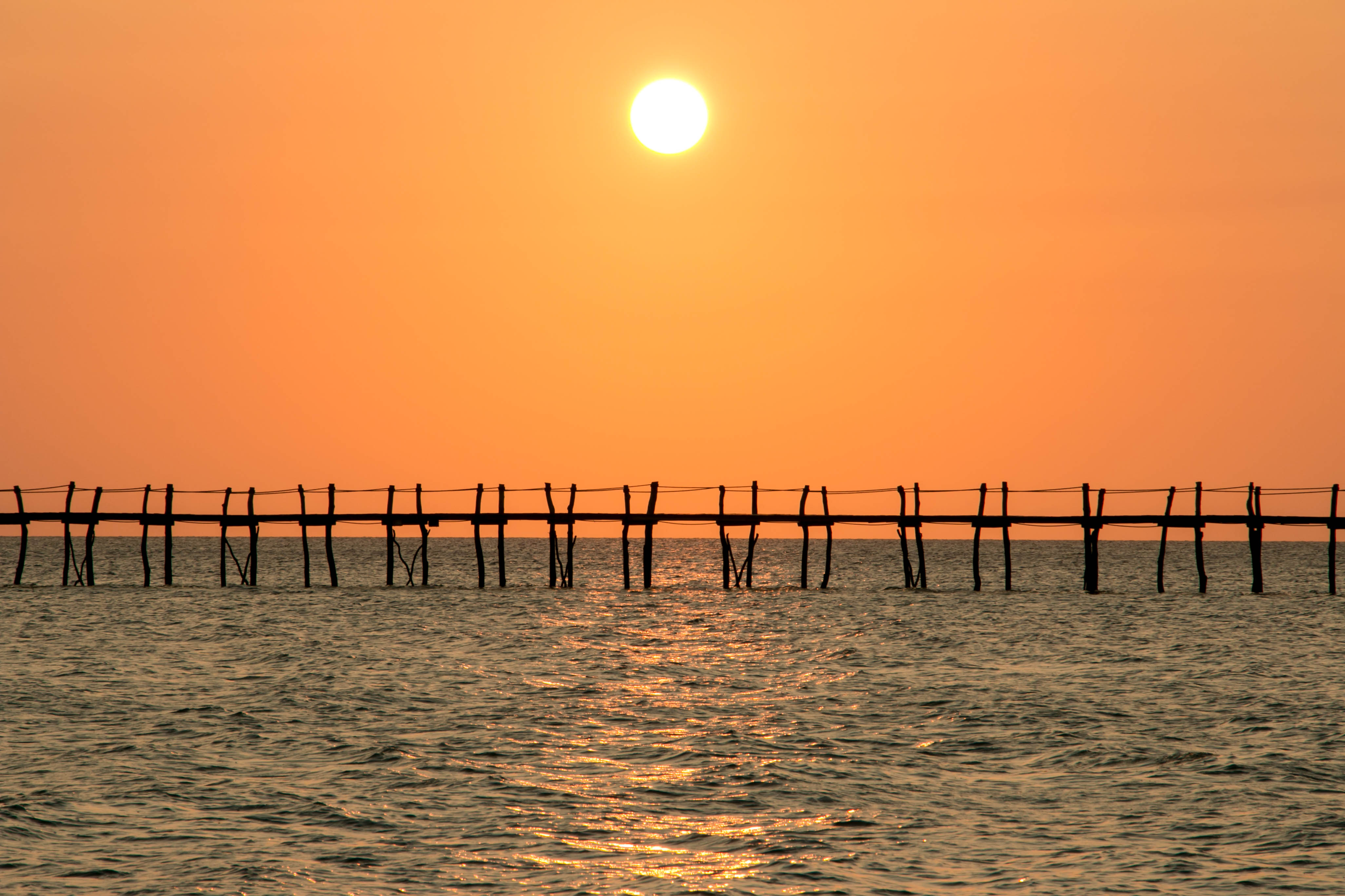
Golden Sea
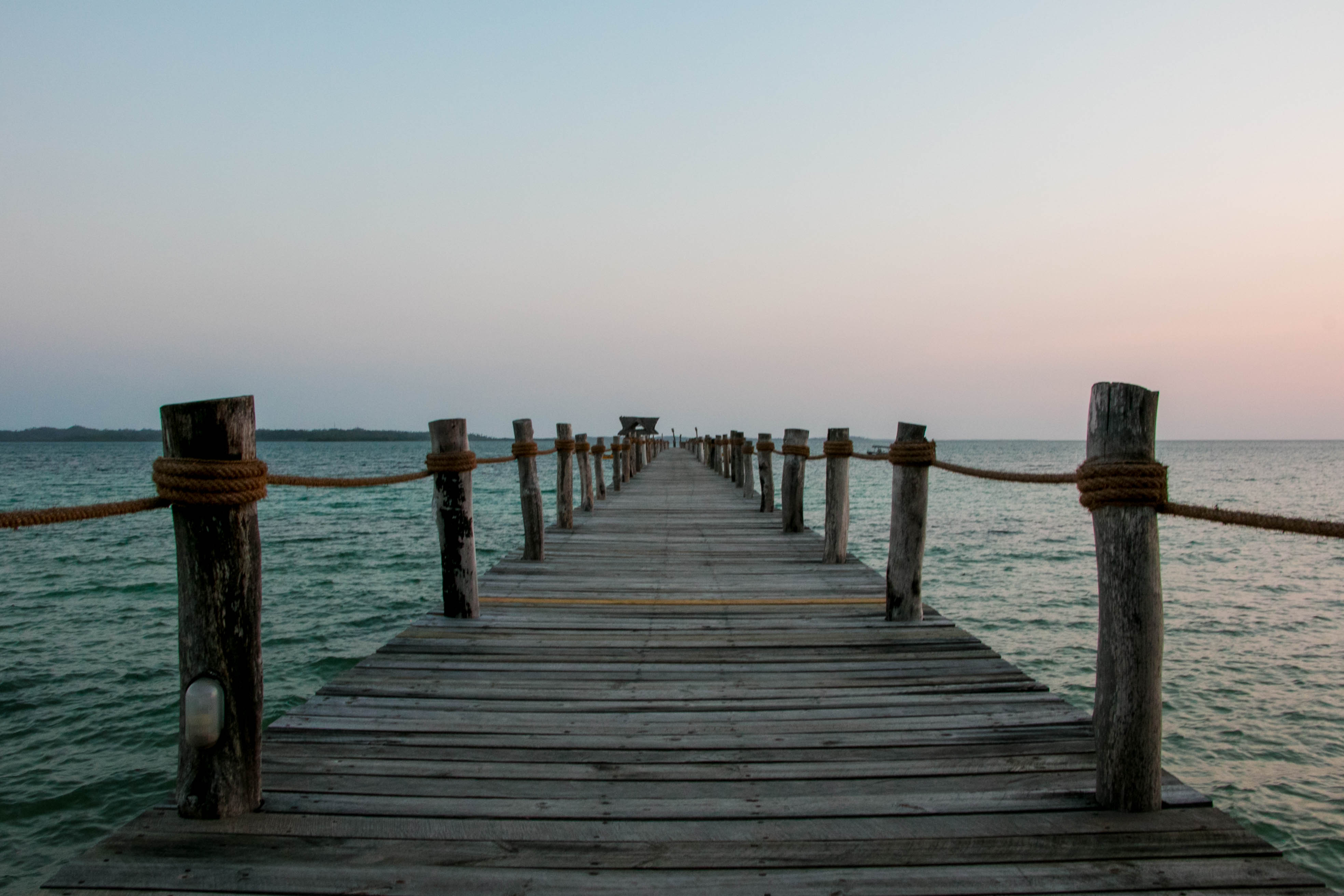
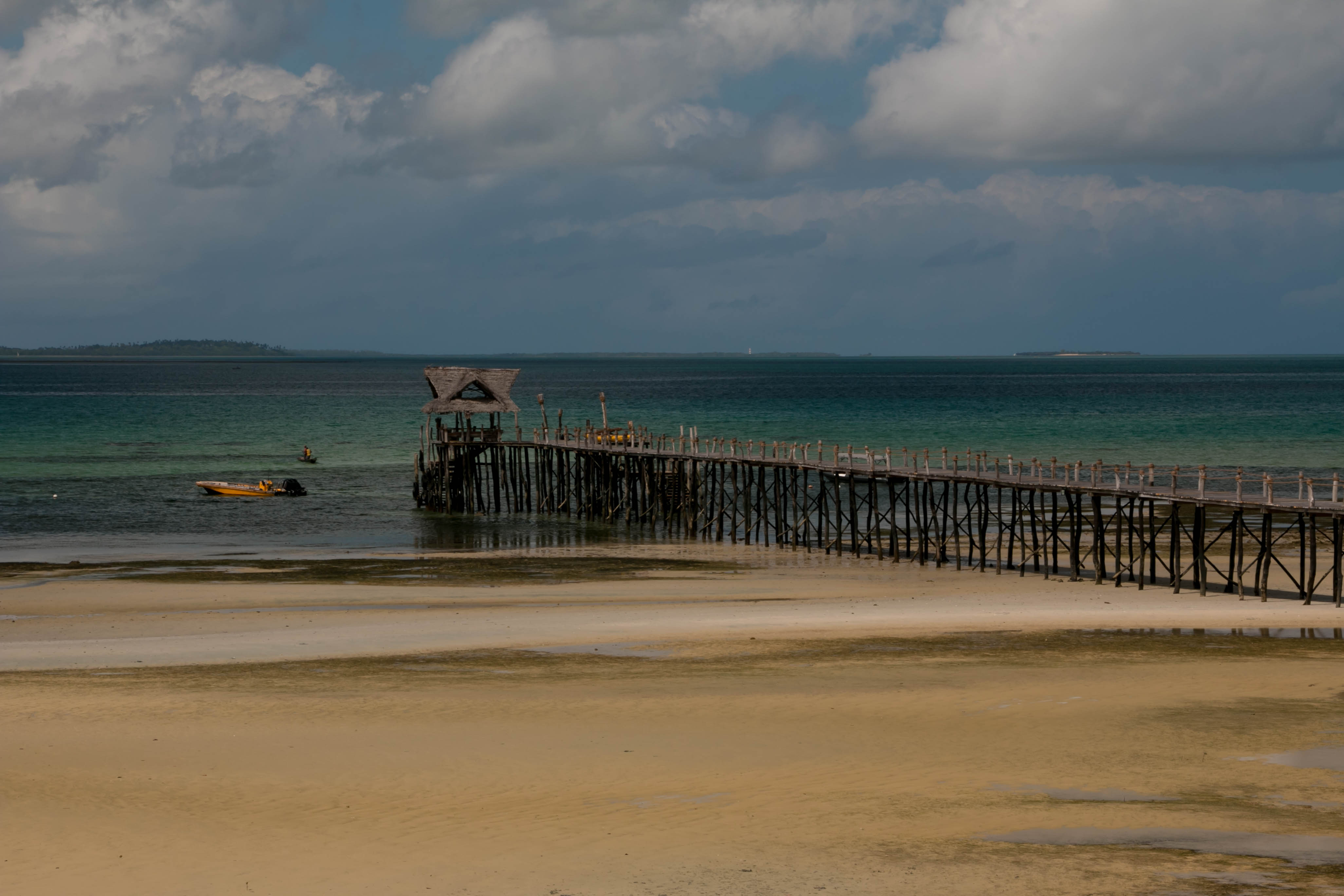
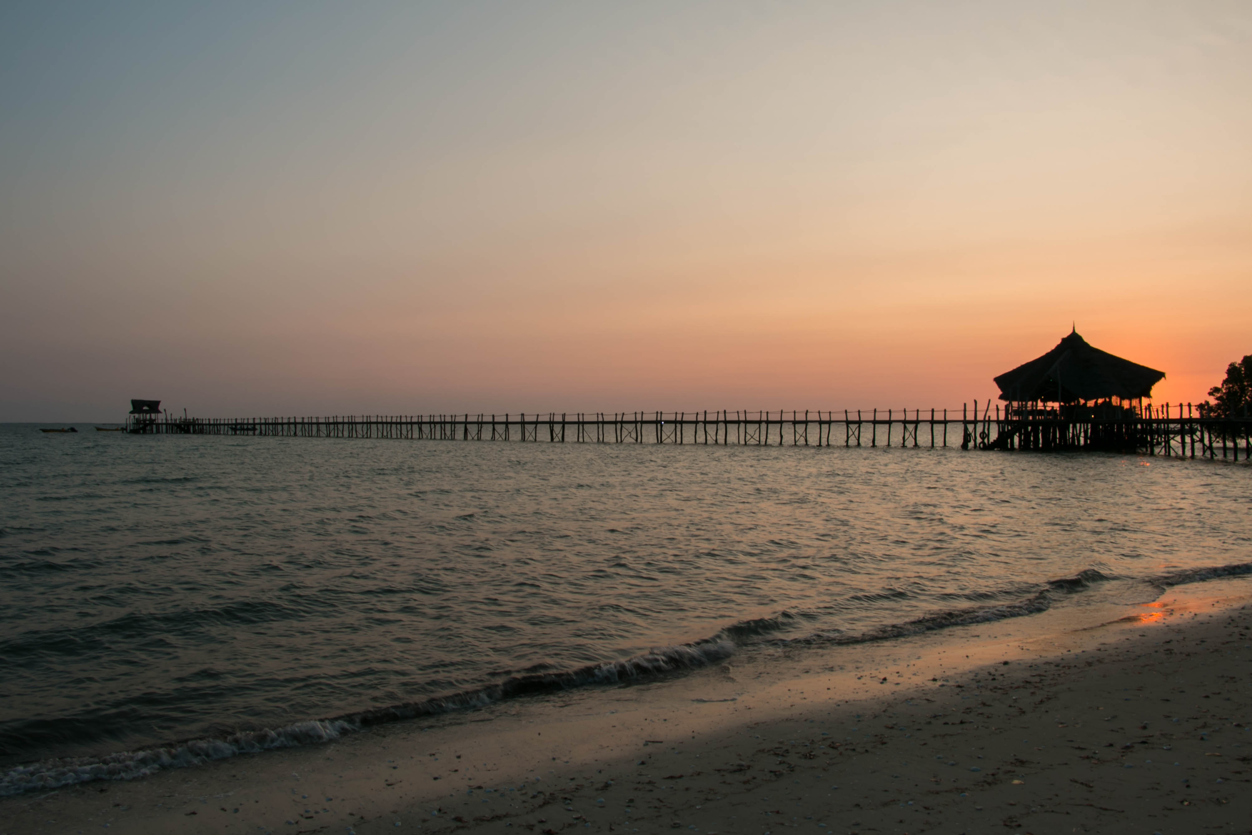
Pemba Island
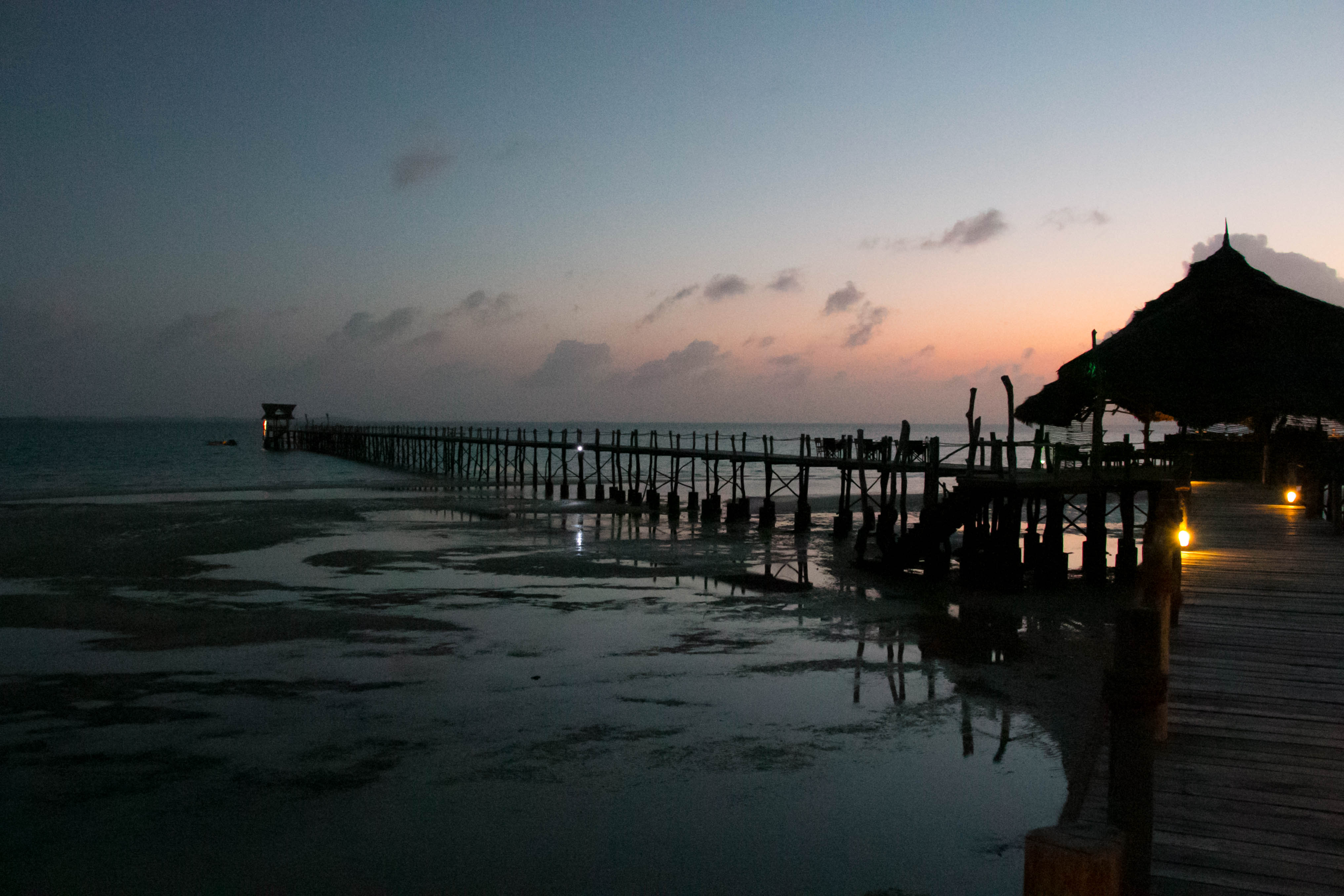
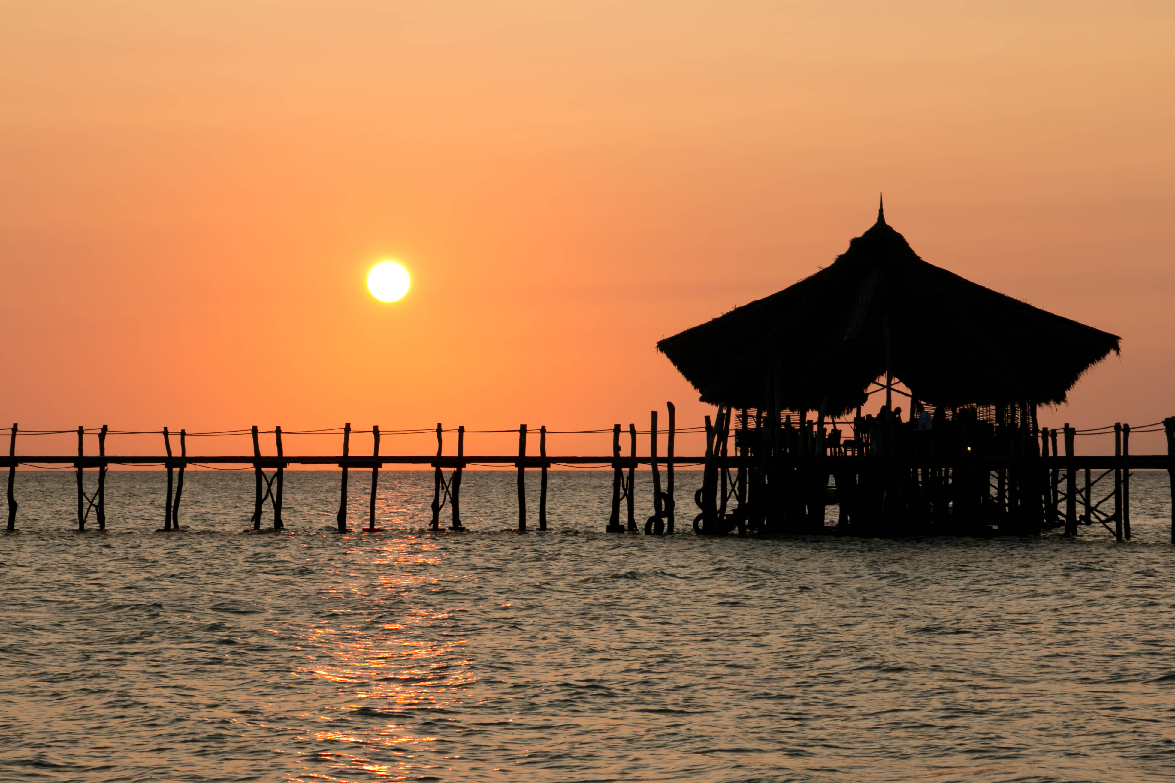
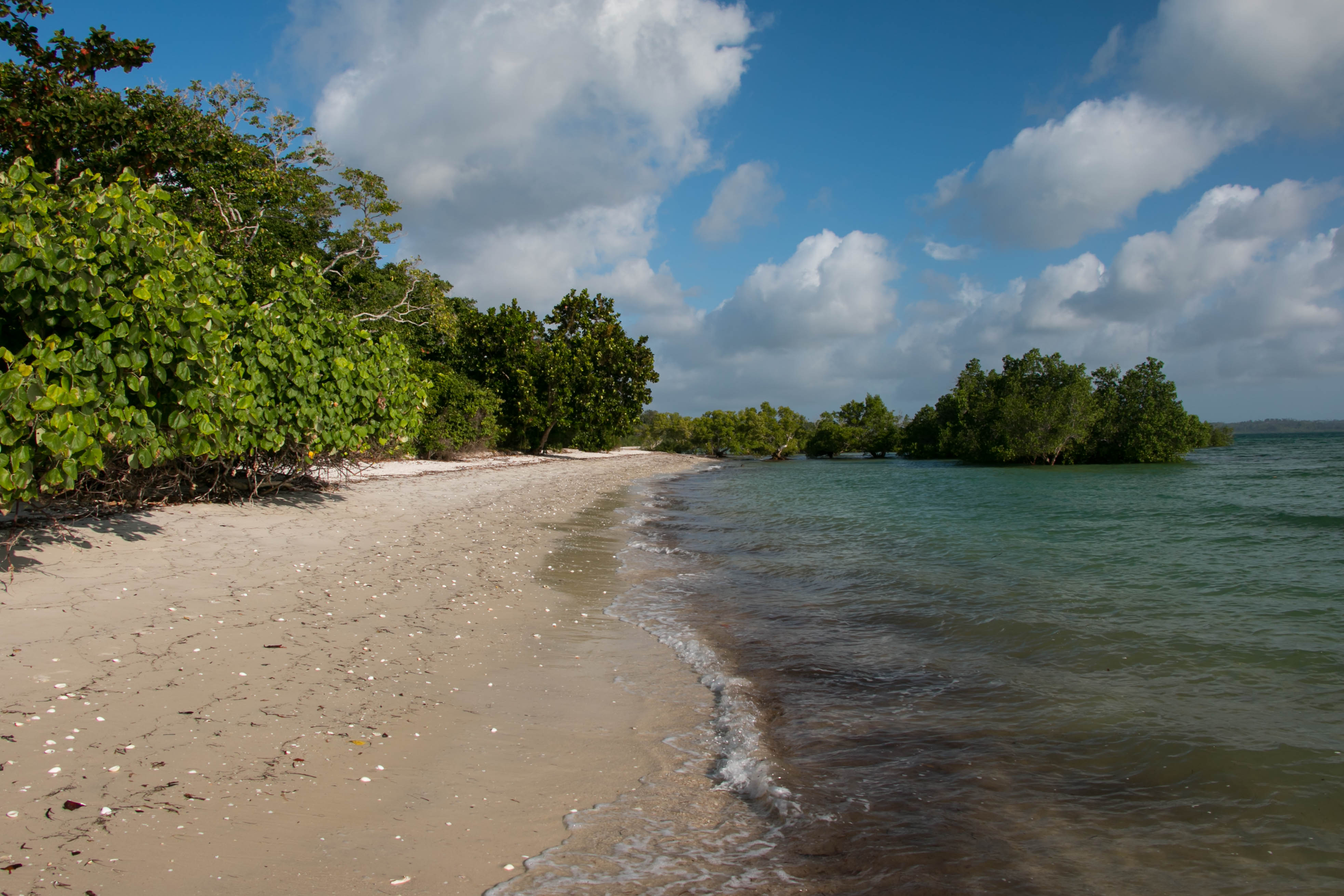
Pemba Island
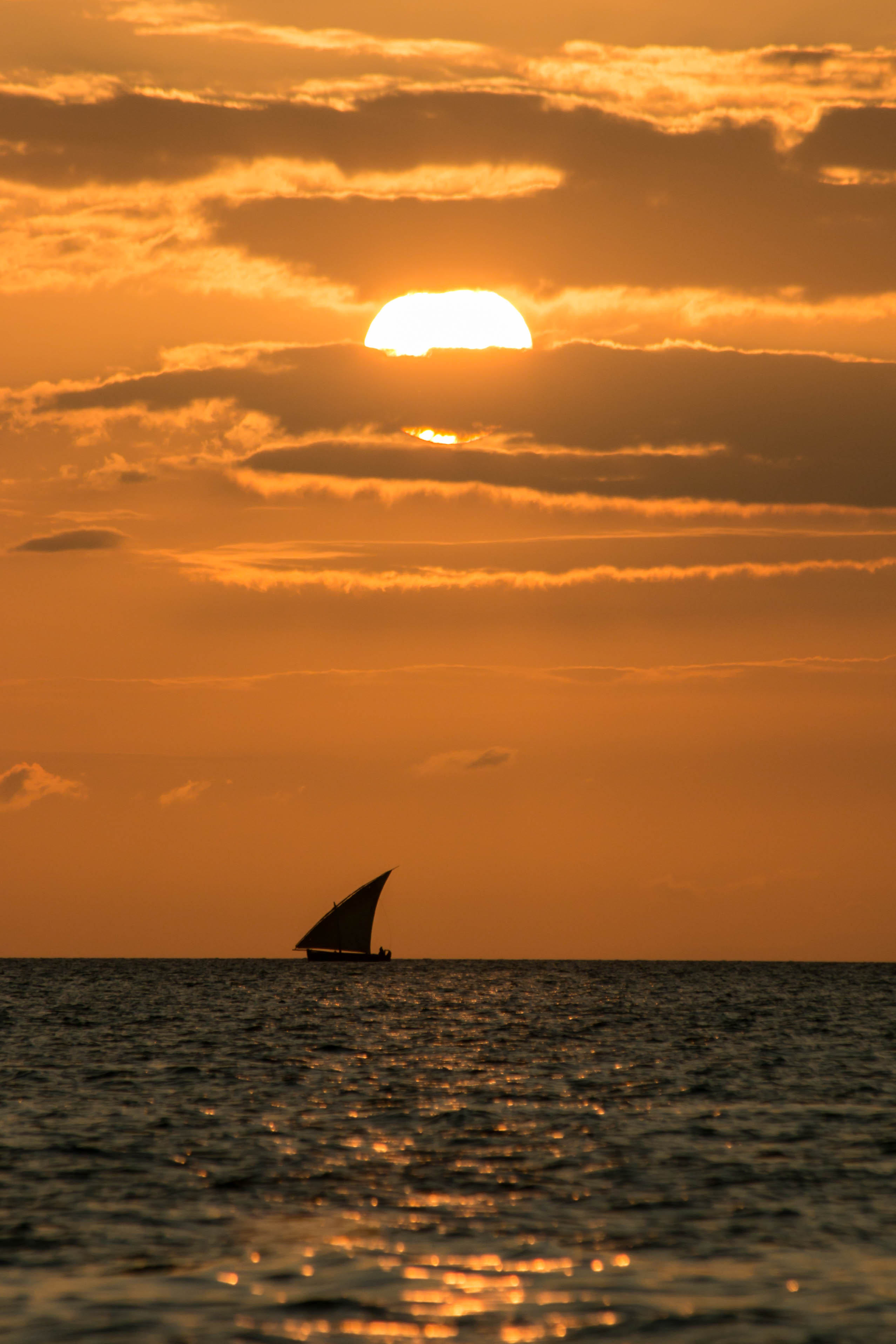
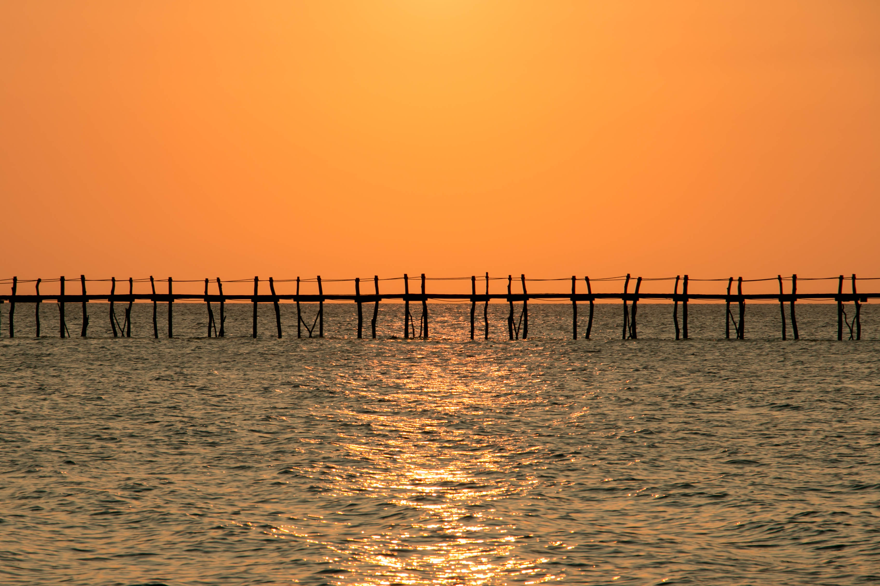
Pemba Island
Pemba Island
Pemba Island

Pemba Island
Pemba Island
Pemba Island
Pemba Island
Pemba Island
Pemba Island
Topographic Map of Mkoani, Tanzania
Find elevation by address:

Places near Mkoani, Tanzania:
Pemba South
Chakechake Hospital
Chake Chake
Wete
Pemba North
Pemba Island
Micheweni 97.4 Fm
Chale Island
Ukunda
Recent Searches:
- Elevation of Pykes Down, Ivybridge PL21 0BY, UK
- Elevation of Jalan Senandin, Lutong, Miri, Sarawak, Malaysia
- Elevation of Bilohirs'k
- Elevation of 30 Oak Lawn Dr, Barkhamsted, CT, USA
- Elevation of Luther Road, Luther Rd, Auburn, CA, USA
- Elevation of Unnamed Road, Respublika Severnaya Osetiya — Alaniya, Russia
- Elevation of Verkhny Fiagdon, North Ossetia–Alania Republic, Russia
- Elevation of F. Viola Hiway, San Rafael, Bulacan, Philippines
- Elevation of Herbage Dr, Gulfport, MS, USA
- Elevation of Lilac Cir, Haldimand, ON N3W 2G9, Canada