Elevation of Miyakubochō Tomoura, Imabari-shi, Ehime-ken -, Japan
Location: Japan > Ehime Prefecture > Imabari >
Longitude: 133.083813
Latitude: 34.1554651
Elevation: 16m / 52feet
Barometric Pressure: 101KPa
Elevation Map:
Satellite Map:
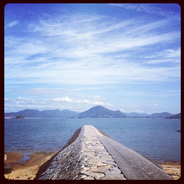
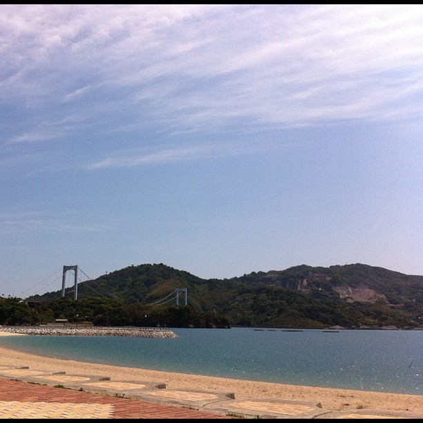
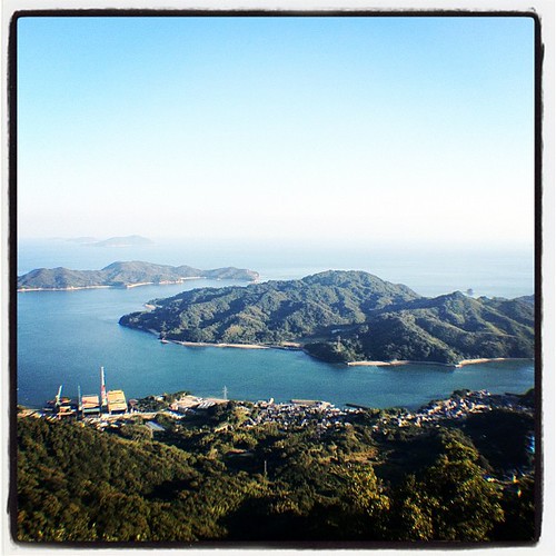
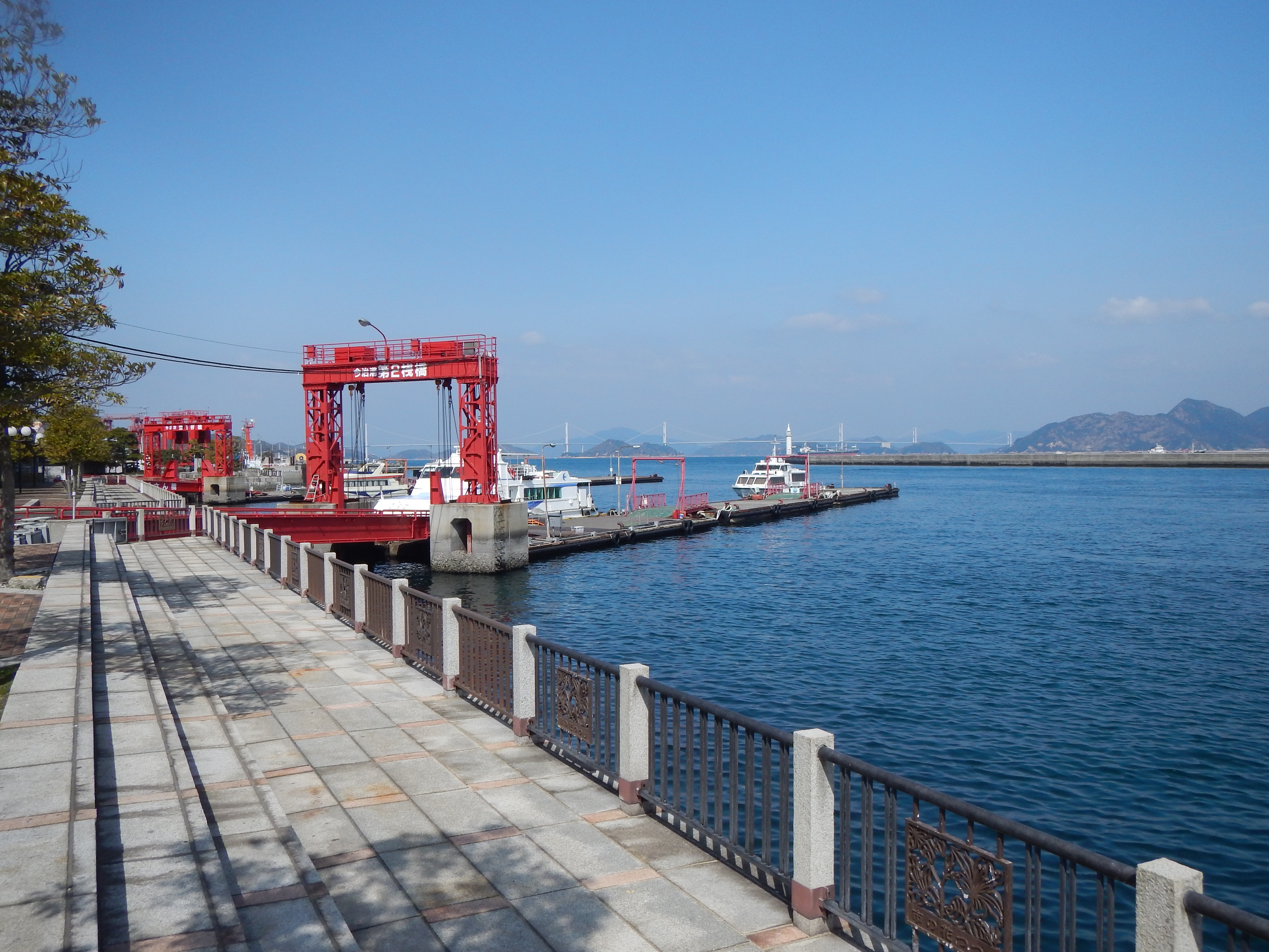
Related Photos:

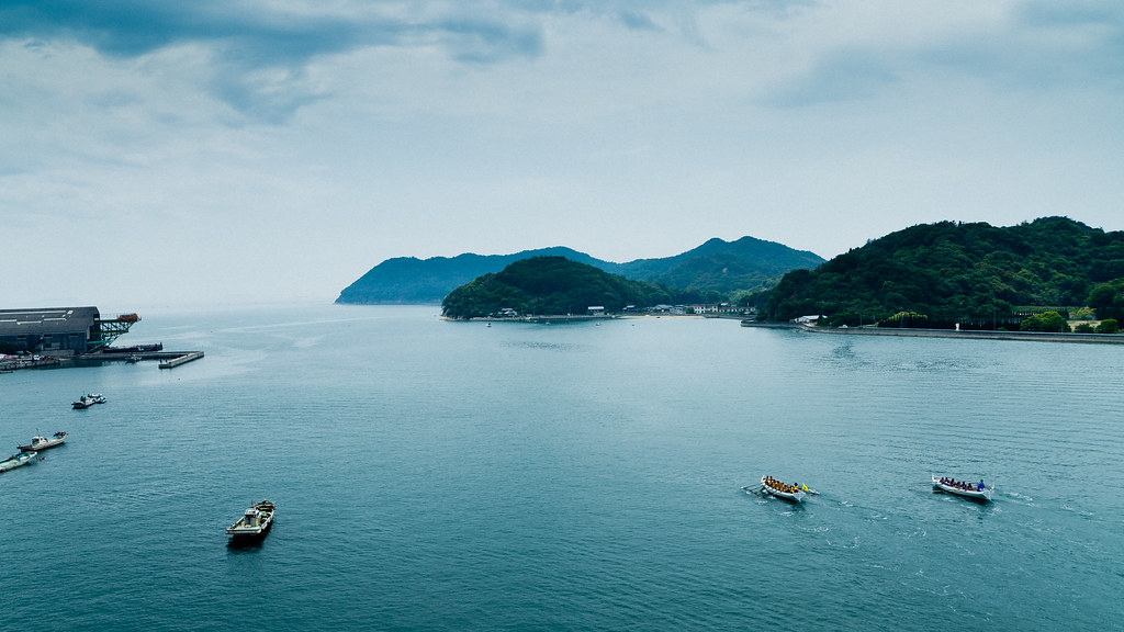
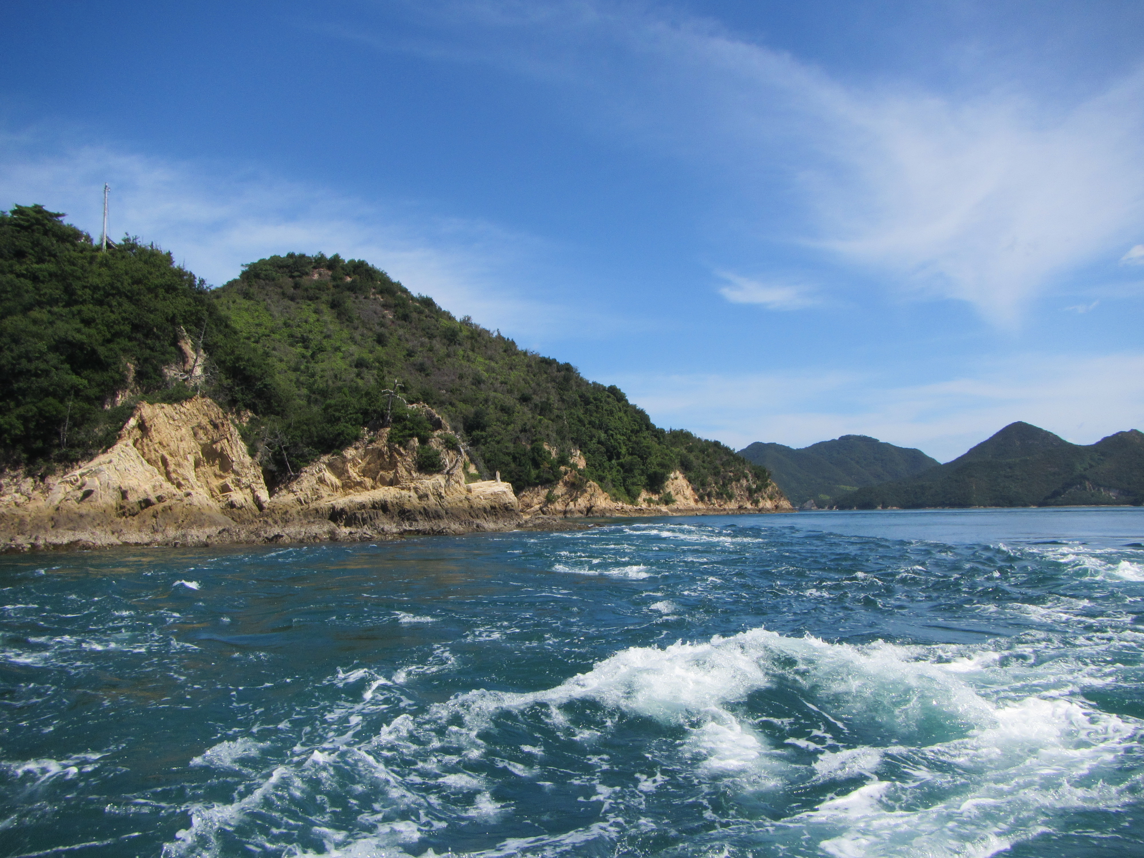
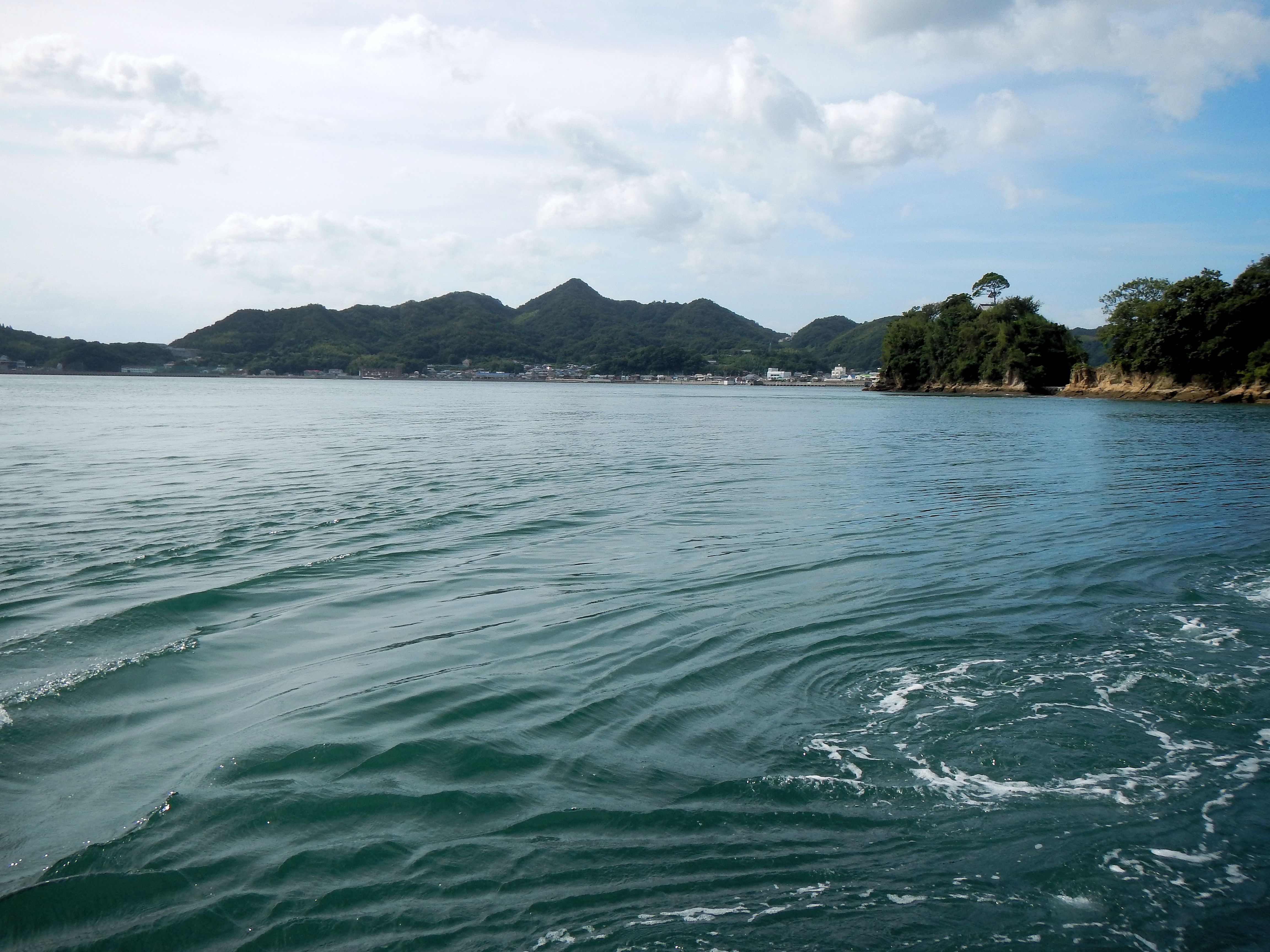
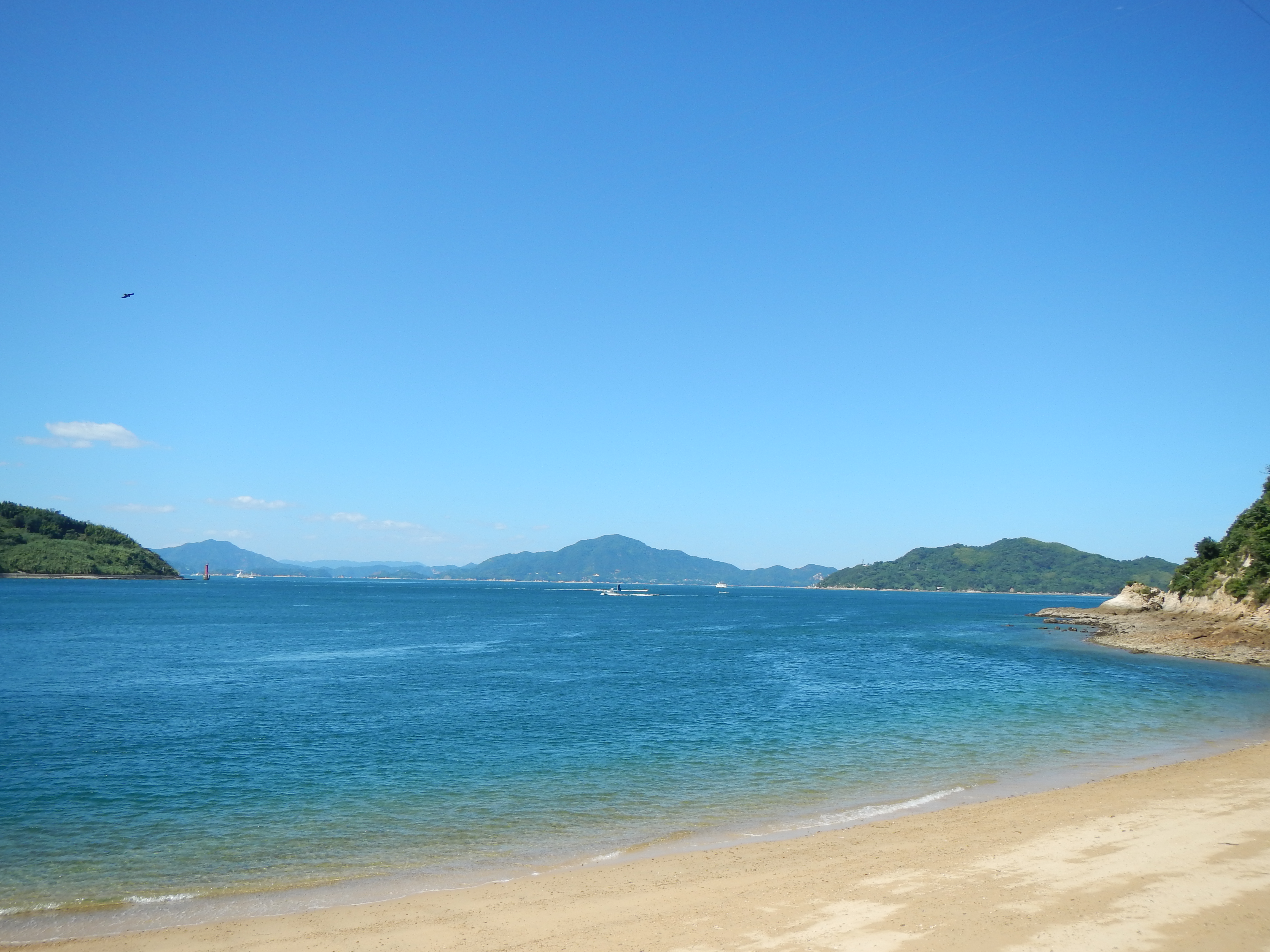
View of the Kamijima Islands.
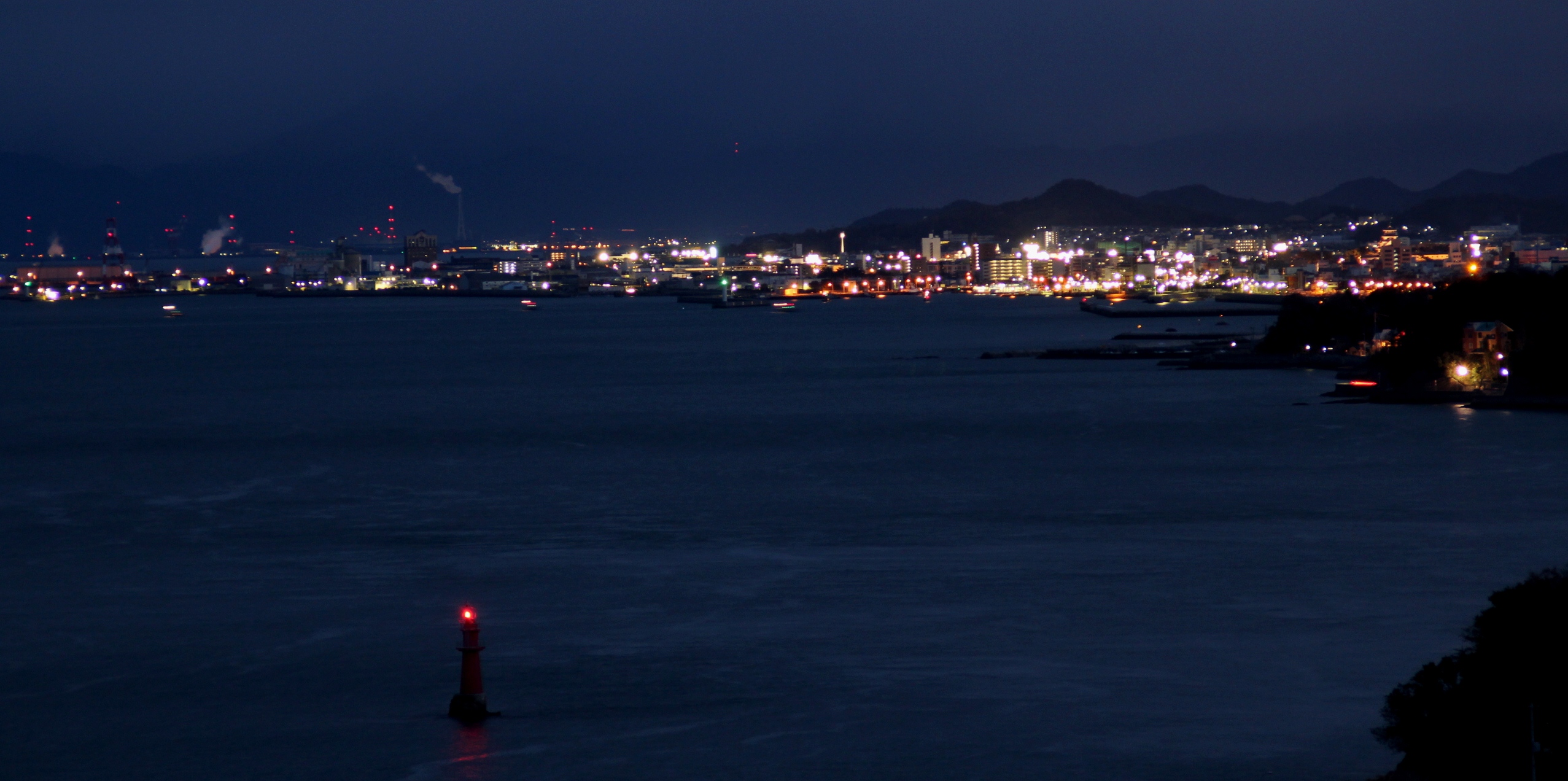
night view
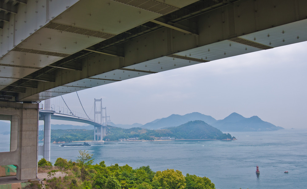
From Below
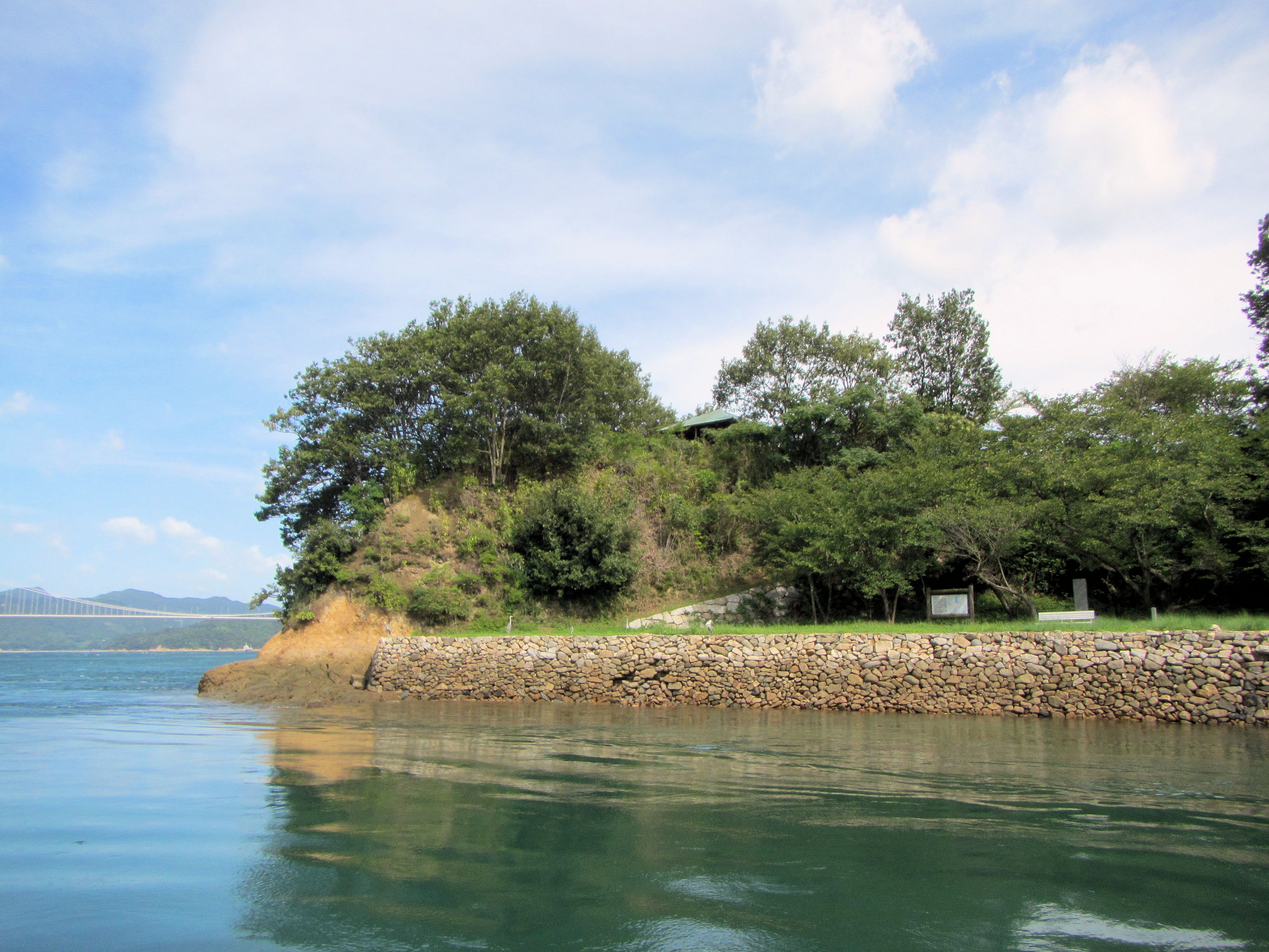
View from the Tatara Camping place
View from Yuge Bridge, Yuge, Aichi pref., Japan
Bath with a view in Suite 301

Hyoutan-jima and Ikuchi-jima
[Setouchi Touring] view from kirosan park.

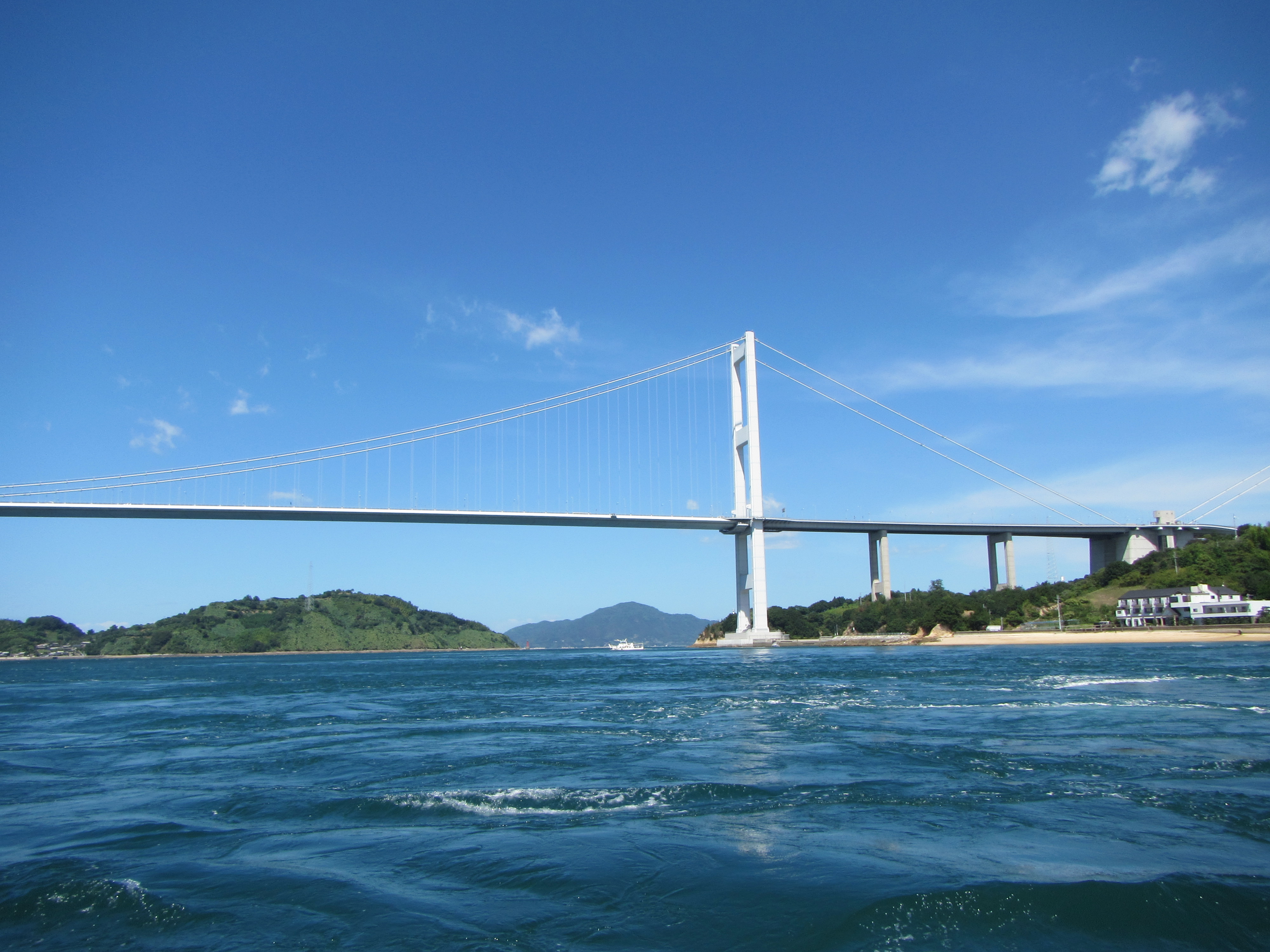
View from Kushiyama on Yugeshima
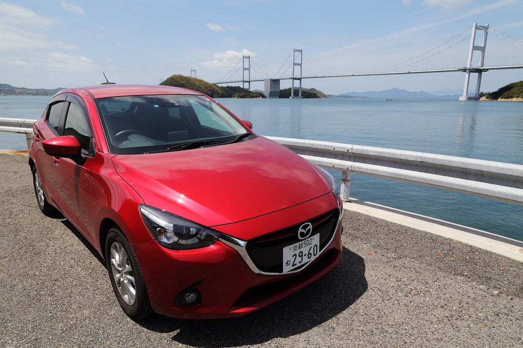
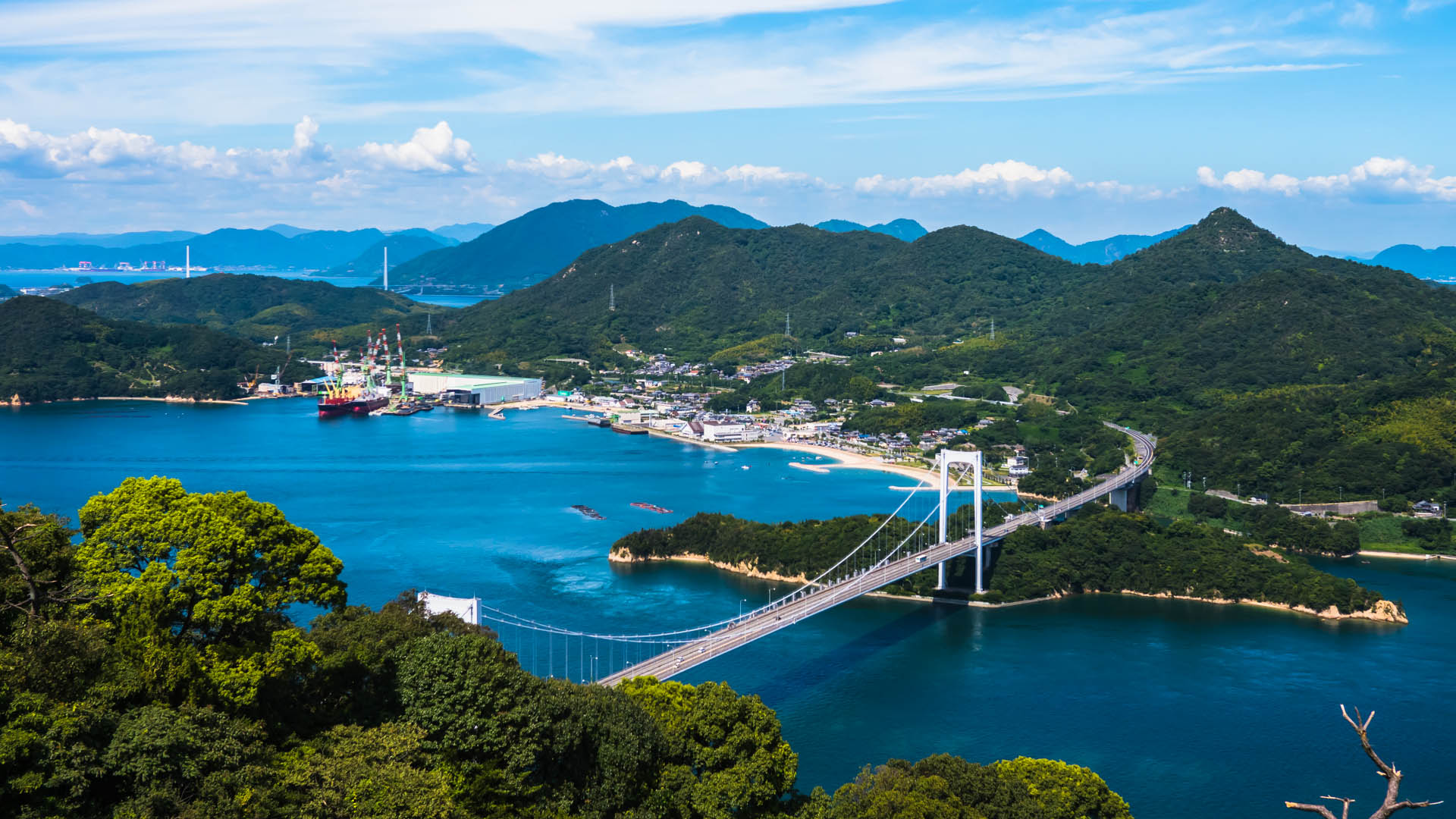
Nishiseto Expressway Panorama

Admiring the views

3626 Seto
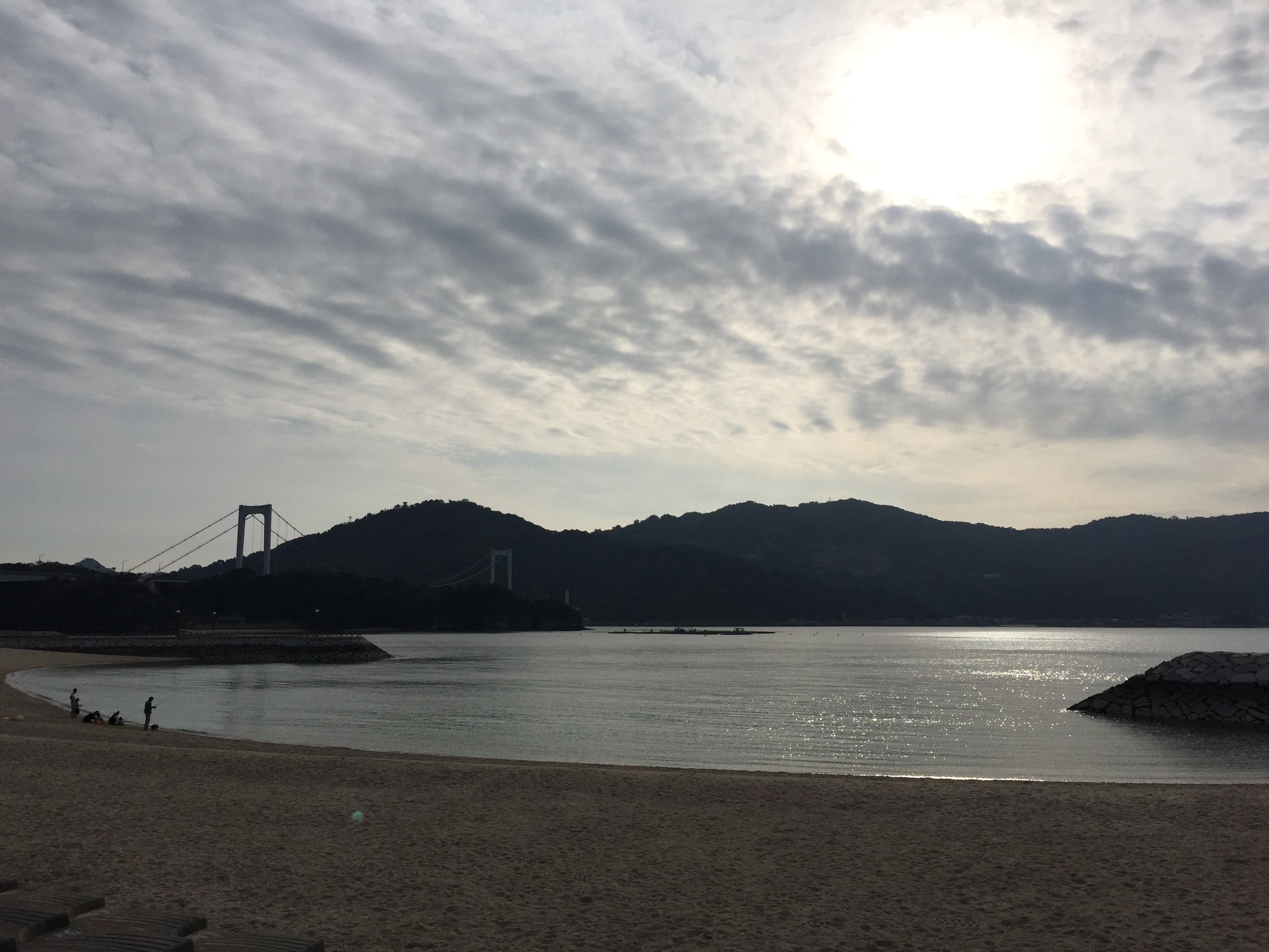
Moonlight swaying

沈みゆく太陽

2015#07
inland sea japan
Go driving

Fishing boats
inland sea japan

太陽をいだく
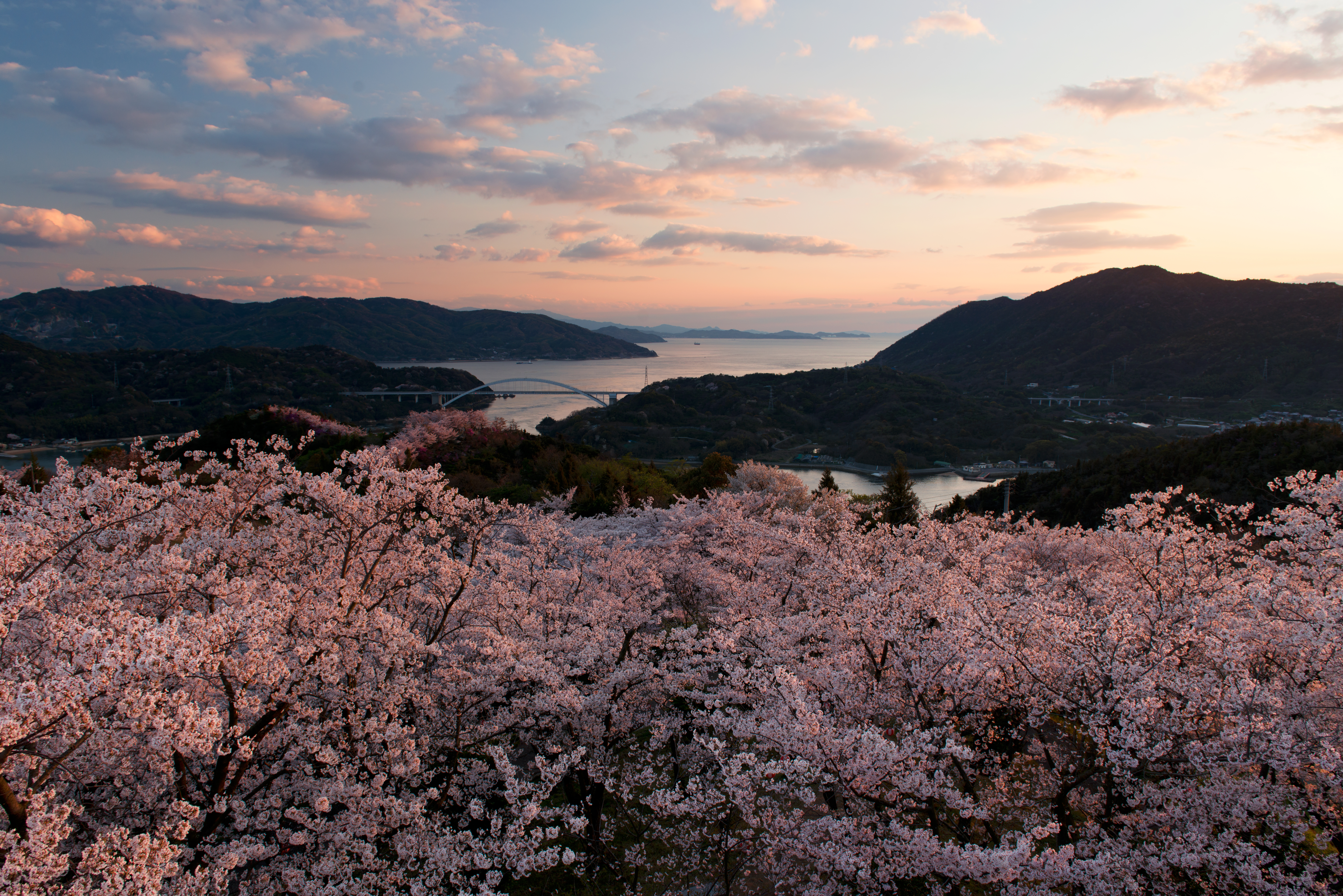
色付く桜としまなみの島々

野外活動中#1

桜満開のしまなみ海道
ナイス瀬戸内
いい天気。ここまでで65キロ。疲れたので休憩。
最高のヴュー!
inland sea japan
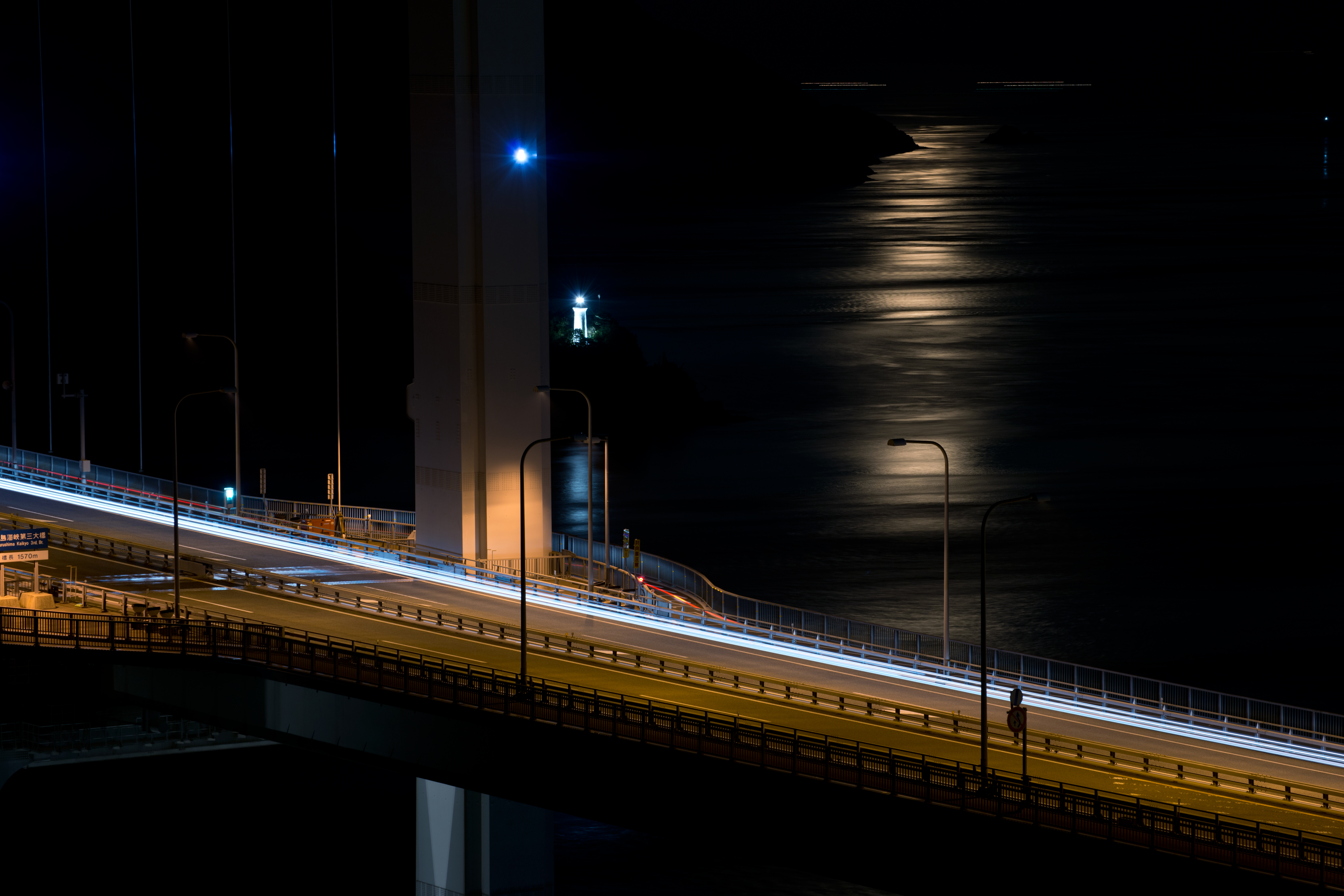
Night rider on Bridge and moonlight
カレイ山展望公園から北を見る
IMG_4297.JPG
inland sea japan
inland sea japan
inland sea japan
Topographic Map of Miyakubochō Tomoura, Imabari-shi, Ehime-ken -, Japan
Find elevation by address:

Places near Miyakubochō Tomoura, Imabari-shi, Ehime-ken -, Japan:
Miyakubochō Miyakubo, Imabari-shi, Ehime-ken -, Japan
Kojima-35 Kurushima, Imabari-shi, Ehime-ken -, Japan
Setodachōogi, Onomichi-shi, Hiroshima-ken -, Japan
Omishima Island
Setodachō Miyabara, Onomichi-shi, Hiroshima-ken -, Japan
3 Chome Toricho
Imabari Castle
Imabari
Setodachō Tarumi, Onomichi-shi, Hiroshima-ken -, Japan
Innoshimaharachō, Onomichi-shi, Hiroshima-ken -, Japan
Setodachō Fukuda, Onomichi-shi, Hiroshima-ken -, Japan
Ochi District
Toyo Ito Museum Of Architecture
-2 Setodachō Nakano, Onomichi-shi, Hiroshima-ken -, Japan
Agata, Imabari-shi, Ehime-ken -, Japan
Takaichi
Innoshimasunoechō, Onomichi-shi, Hiroshima-ken -, Japan
Setodachōhayashi, Onomichi-shi, Hiroshima-ken -, Japan
Setodachō Myōga, Onomichi-shi, Hiroshima-ken -, Japan
Kamijima
Recent Searches:
- Elevation of Elwyn Dr, Roanoke Rapids, NC, USA
- Elevation of Congressional Dr, Stevensville, MD, USA
- Elevation of Bellview Rd, McLean, VA, USA
- Elevation of Stage Island Rd, Chatham, MA, USA
- Elevation of Shibuya Scramble Crossing, 21 Udagawacho, Shibuya City, Tokyo -, Japan
- Elevation of Jadagoniai, Kaunas District Municipality, Lithuania
- Elevation of Pagonija rock, Kranto 7-oji g. 8"N, Kaunas, Lithuania
- Elevation of Co Rd 87, Jamestown, CO, USA
- Elevation of Tenjo, Cundinamarca, Colombia
- Elevation of Côte-des-Neiges, Montreal, QC H4A 3J6, Canada