Elevation of Mitta Mitta VIC, Australia
Location: Australia > Victoria >
Longitude: 147.358304
Latitude: -36.492321
Elevation: 259m / 850feet
Barometric Pressure: 98KPa
Elevation Map:
Satellite Map:
Related Photos:
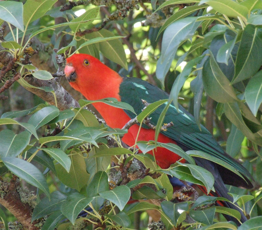
It's a bird

old house B&W

Water tank & Flowers

Mittavale sunrise

Mittavale dawn

Cows in the mist
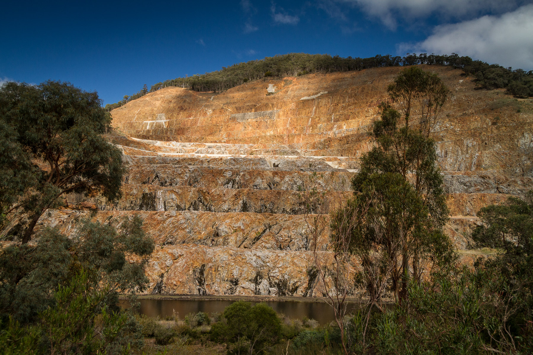
Open rock cascade

Dam wall
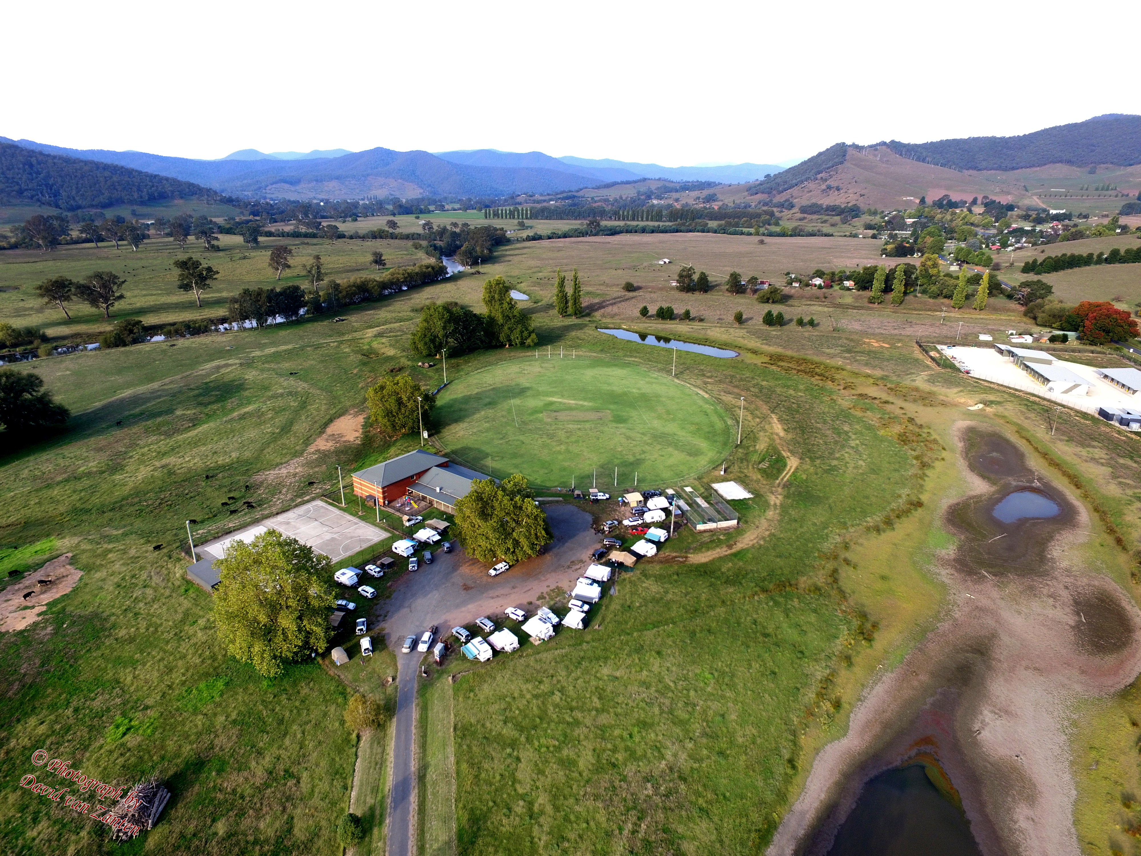
DJI_0014 AW$WD Club birthday bash 1

DJI_0014 AW$WD Club birthday bash 2
Topographic Map of Mitta Mitta VIC, Australia
Find elevation by address:

Places near Mitta Mitta VIC, Australia:
Towong Shire
Kergunyah South
Tallangatta Health Service
Jarvis Creek
Shelley
1/1057 Sirls Rd
Wodonga City
City Of Albury
258 Peechelba St
South Albury
East Albury
Beanstation Cafe
Wodonga
Wodonga
Lincoln Causeway
Gateway Island
The River Deck Cafe; Restaurant, Cafe, Wedding And Function Venu
Albury
Albury
Stanley
Recent Searches:
- Elevation of Eldorado do Sul - RS, Brazil
- Elevation of Eldorado do Sul - Parque Eldorado, Eldorado do Sul - RS, -, Brazil
- Elevation of 35 Governors Ln, Hilton Head Island, SC, USA
- Elevation of Orangevale, CA, USA
- Elevation of Doe Cir, Clinton, OH, USA
- Elevation of Narhe, Pune, Maharashtra, India
- Elevation of Martins Mill Ct, Eagle Rock, NC, USA
- Elevation of Kippen, Stirling FK8, UK
- Elevation of Sieveringer Straße, Sieveringer Str., Wien, Austria
- Elevation of Bratskaya Ulitsa, 24, Kurgan, Kurganskaya oblast', Russia