Elevation of Mitchell Mountain, Montana, USA
Location: United States > Montana > Lewis And Clark County > Canyon Creek >
Longitude: -112.24167
Latitude: 46.9427191
Elevation: 2140m / 7021feet
Barometric Pressure: 78KPa
Elevation Map:
Satellite Map:
Related Photos:
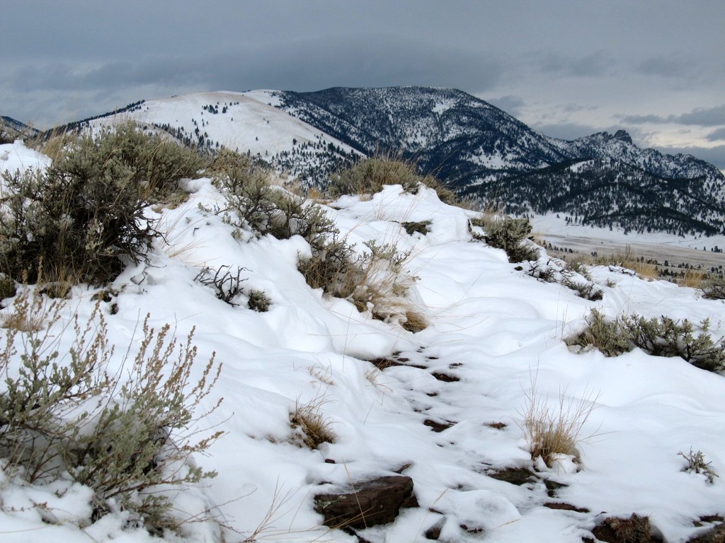
Sleeping Giant. North of Helena,Montana
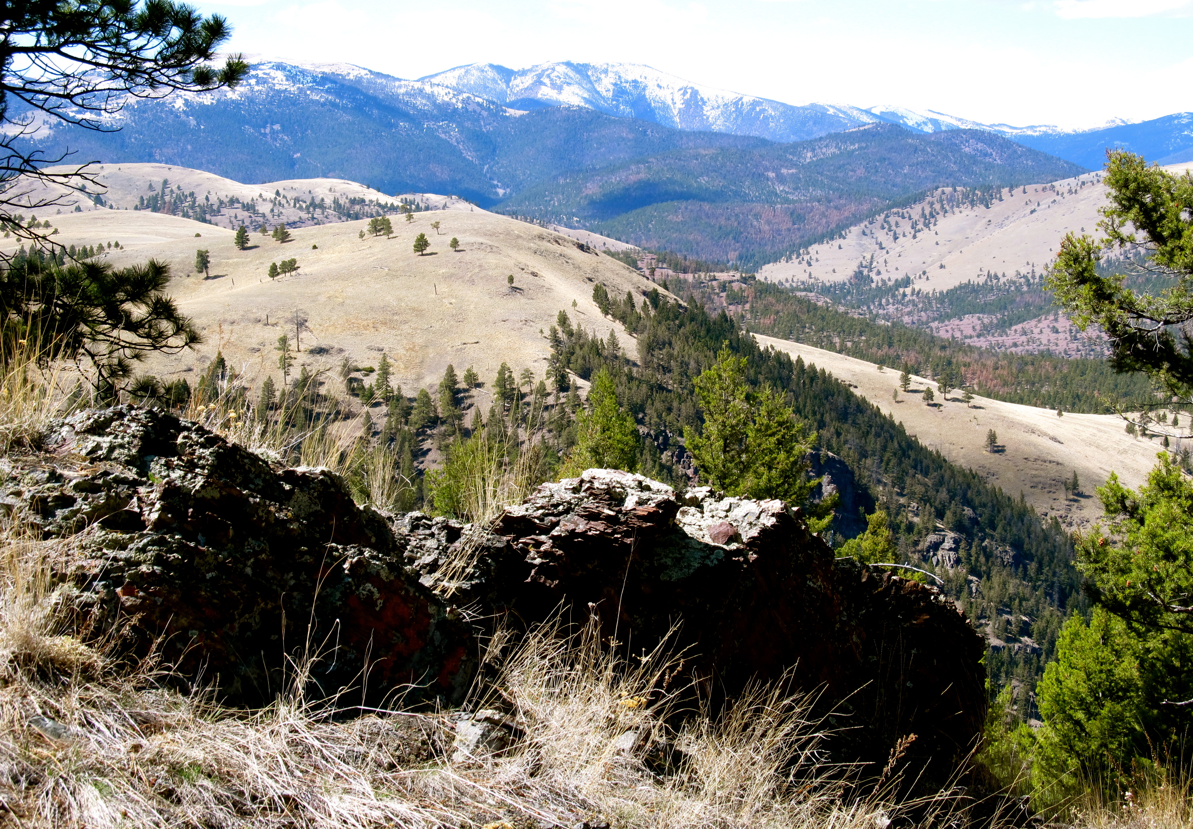
Mountains. Montana
Topographic Map of Mitchell Mountain, Montana, USA
Find elevation by address:

Places near Mitchell Mountain, Montana, USA:
Helena, Mount
Canyon Creek
Canyon Creek, MT, USA
2485 Bridge Creek Ln
Sunset Mountain
Wolf Creek
Edward Mountain
Joes Mountain
Marysville
6098 Anna Brown Rd
6784 Silver Sage Dr
6220 Turk Rd
6435 Apache Pine Rd
Granite Butte
6250 Apache Pine Rd
Blossburg Rd, Canyon Creek, MT, USA
400 W Cabin Rd
8460 Evergreen Dr
Roundtop Mountain
601 Timber Ridge Rd
Recent Searches:
- Elevation of Corso Fratelli Cairoli, 35, Macerata MC, Italy
- Elevation of Tallevast Rd, Sarasota, FL, USA
- Elevation of 4th St E, Sonoma, CA, USA
- Elevation of Black Hollow Rd, Pennsdale, PA, USA
- Elevation of Oakland Ave, Williamsport, PA, USA
- Elevation of Pedrógão Grande, Portugal
- Elevation of Klee Dr, Martinsburg, WV, USA
- Elevation of Via Roma, Pieranica CR, Italy
- Elevation of Tavkvetili Mountain, Georgia
- Elevation of Hartfords Bluff Cir, Mt Pleasant, SC, USA