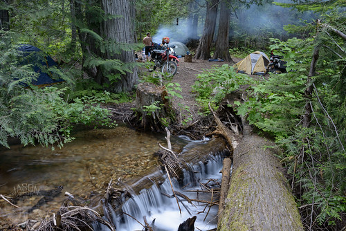
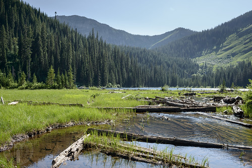
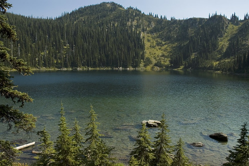
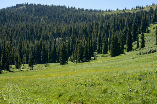
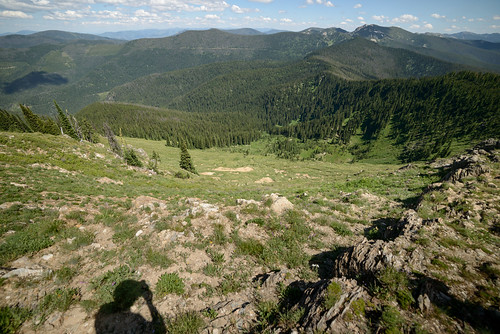
Elevation of Missoula Lake Campground, Lolo National Forest, Forest Rd, Superior, MT, USA
Location: United States > Montana > Mineral County > Superior >
Longitude: -115.11615
Latitude: 47.0598239
Elevation: 1926m / 6319feet
Barometric Pressure: 80KPa
Related Photos:
Topographic Map of Missoula Lake Campground, Lolo National Forest, Forest Rd, Superior, MT, USA
Find elevation by address:

Places near Missoula Lake Campground, Lolo National Forest, Forest Rd, Superior, MT, USA:
Mineral County
4657 Sloway Frontage Rd E
Saint Regis
Superior
Keystone Rd, Superior, MT, USA
Keystone Peak
115 Donlan Flats Rd
32 Sundowner Ln, St Regis, MT, USA
190 Quinn's Canyon Rd
71 Black Jack Rd
Meadow Lane
Paradise
7974 Mt-200
39 Eagle Valley Ln
Plains, MT, USA
Plains
Farmer
Deemer Ridge Road
Eddy
Deemer Cr Road
Recent Searches:
- Elevation of Elwyn Dr, Roanoke Rapids, NC, USA
- Elevation of Congressional Dr, Stevensville, MD, USA
- Elevation of Bellview Rd, McLean, VA, USA
- Elevation of Stage Island Rd, Chatham, MA, USA
- Elevation of Shibuya Scramble Crossing, 21 Udagawacho, Shibuya City, Tokyo -, Japan
- Elevation of Jadagoniai, Kaunas District Municipality, Lithuania
- Elevation of Pagonija rock, Kranto 7-oji g. 8"N, Kaunas, Lithuania
- Elevation of Co Rd 87, Jamestown, CO, USA
- Elevation of Tenjo, Cundinamarca, Colombia
- Elevation of Côte-des-Neiges, Montreal, QC H4A 3J6, Canada

