Elevation of Mirik, West Bengal, India
Location: India > West Bengal > Darjeeling >
Longitude: 88.1827931
Latitude: 26.8852968
Elevation: 1650m / 5413feet
Barometric Pressure: 83KPa
Elevation Map:
Satellite Map:
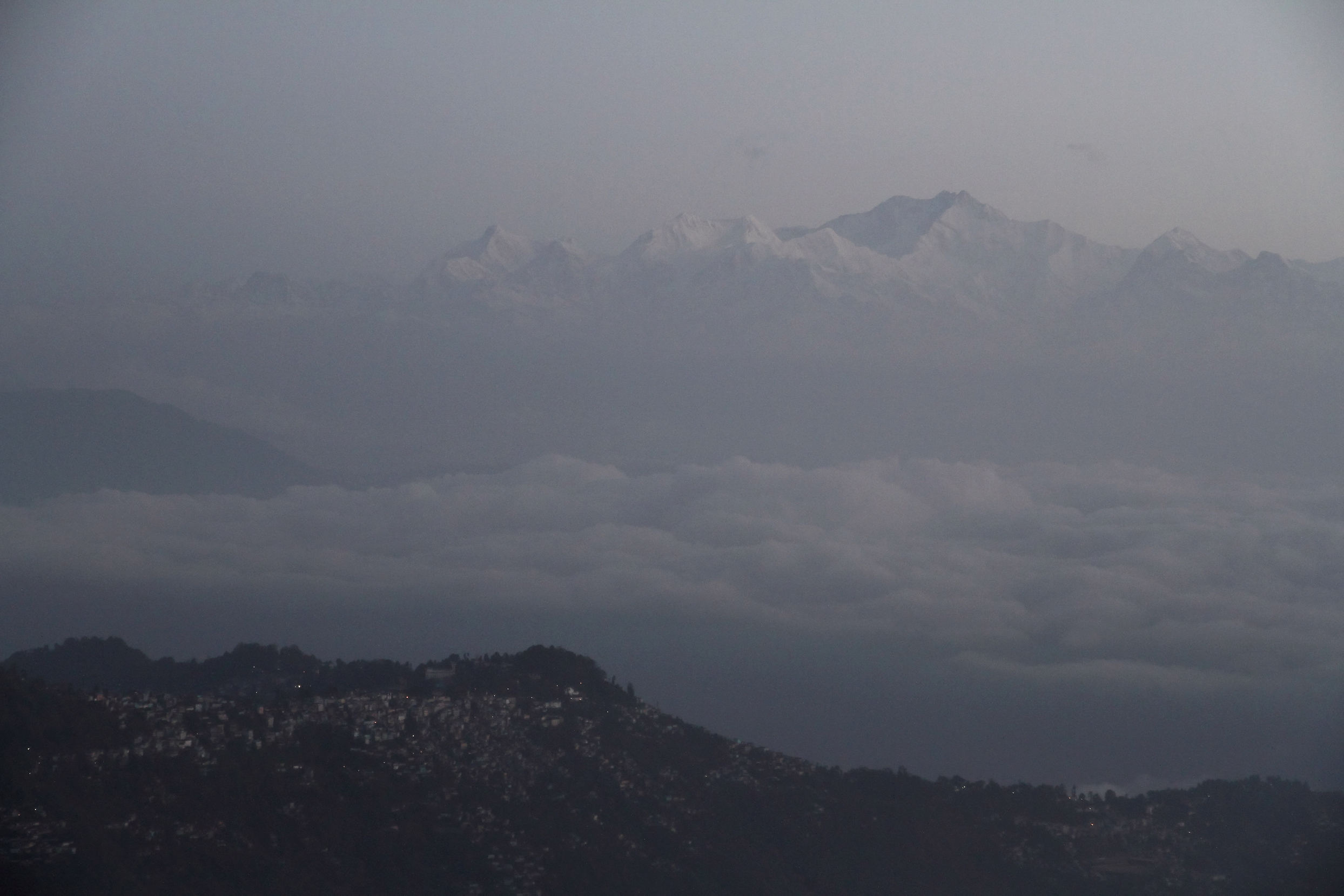
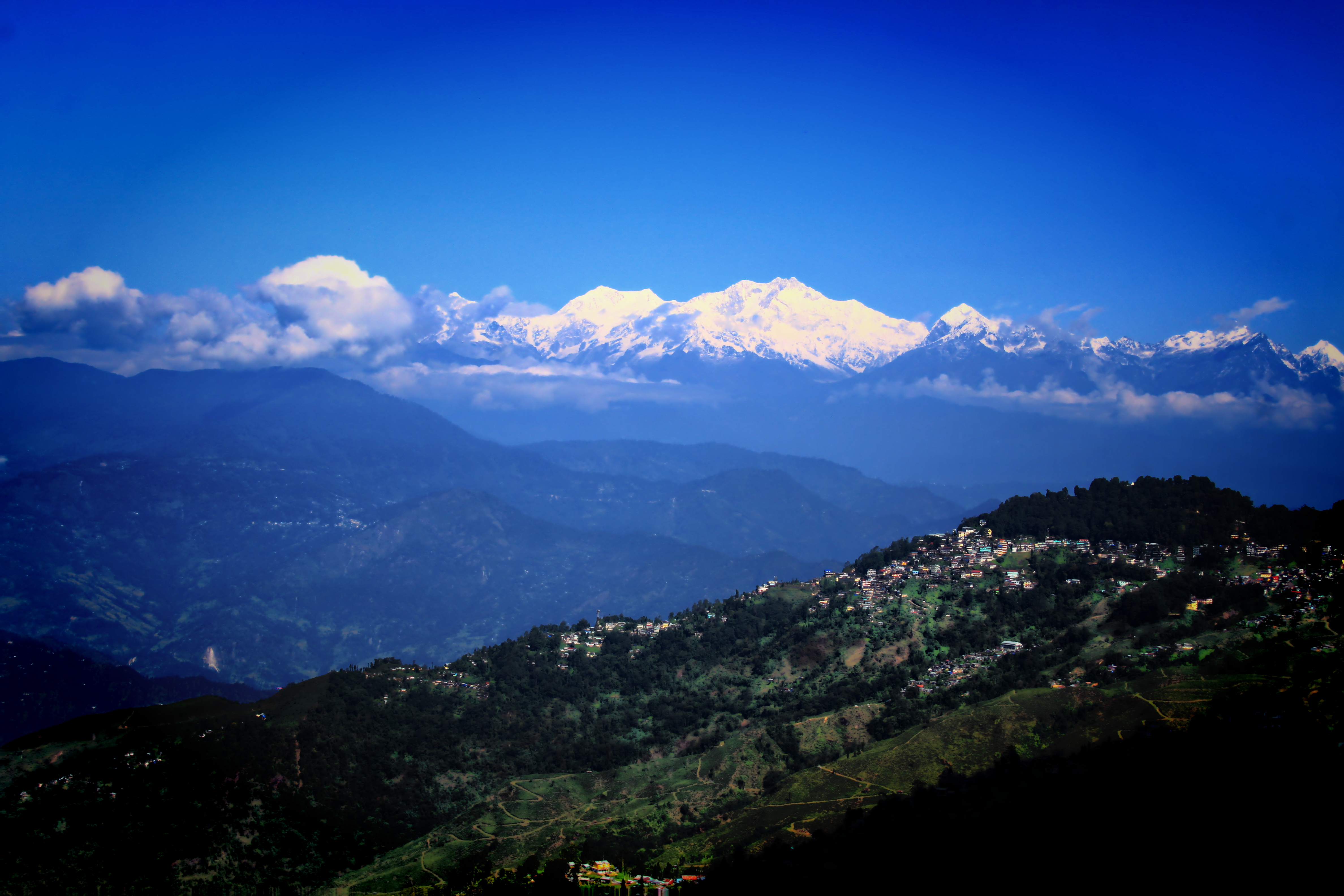
Related Photos:
Goodmorning Darjeeling

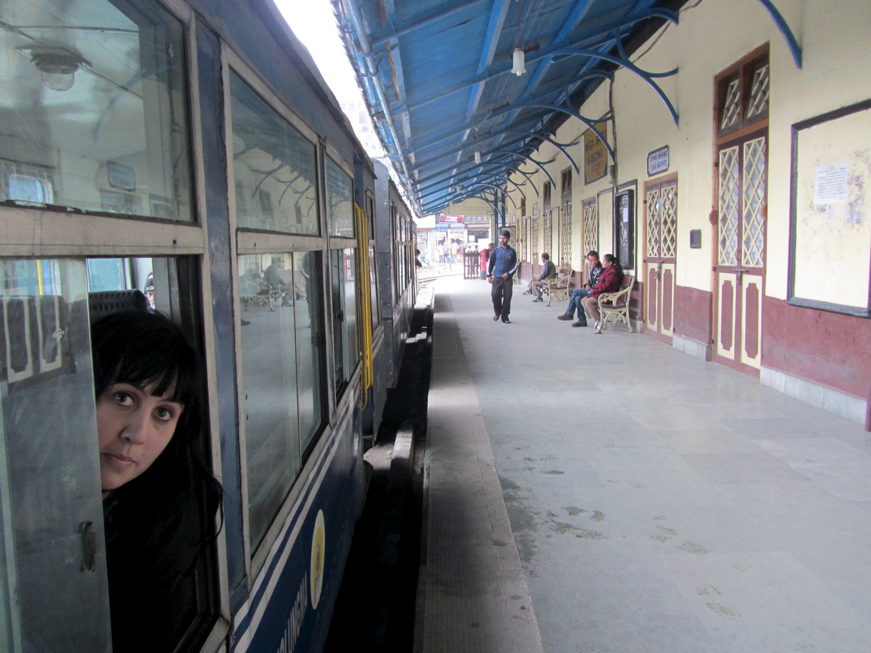
Ghum Station View
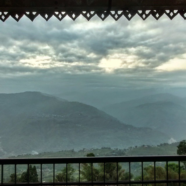
View from Cochrane Place
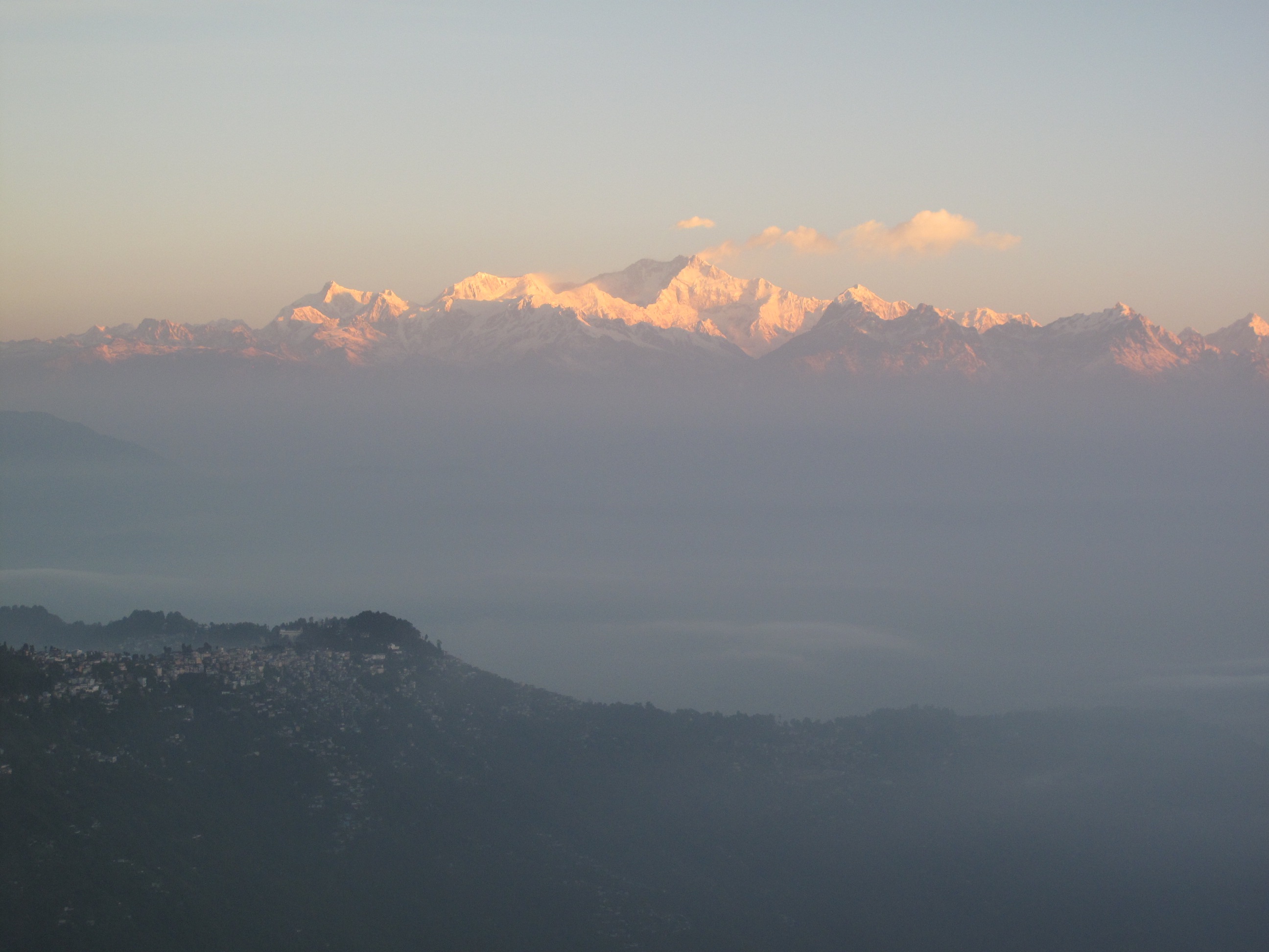
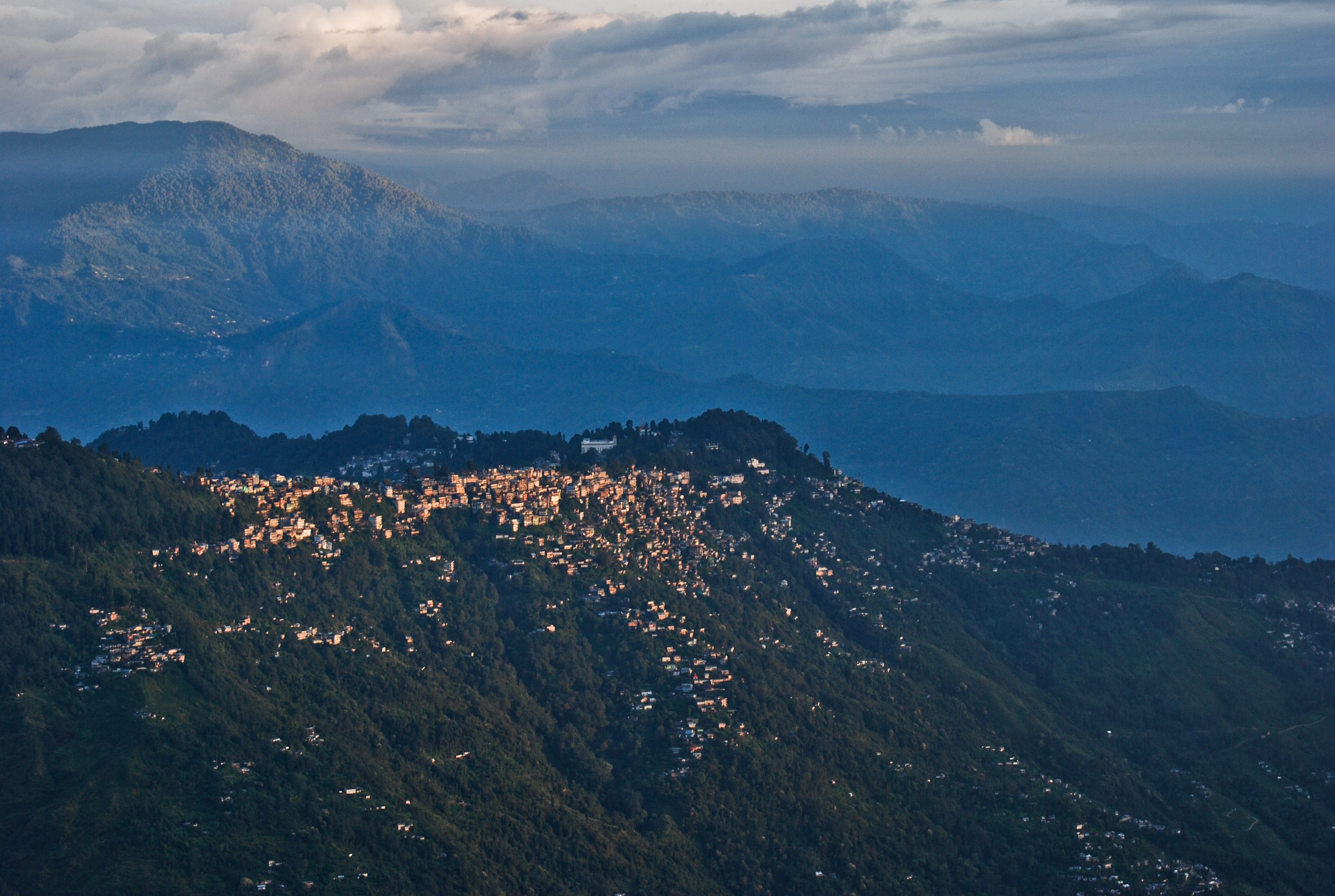
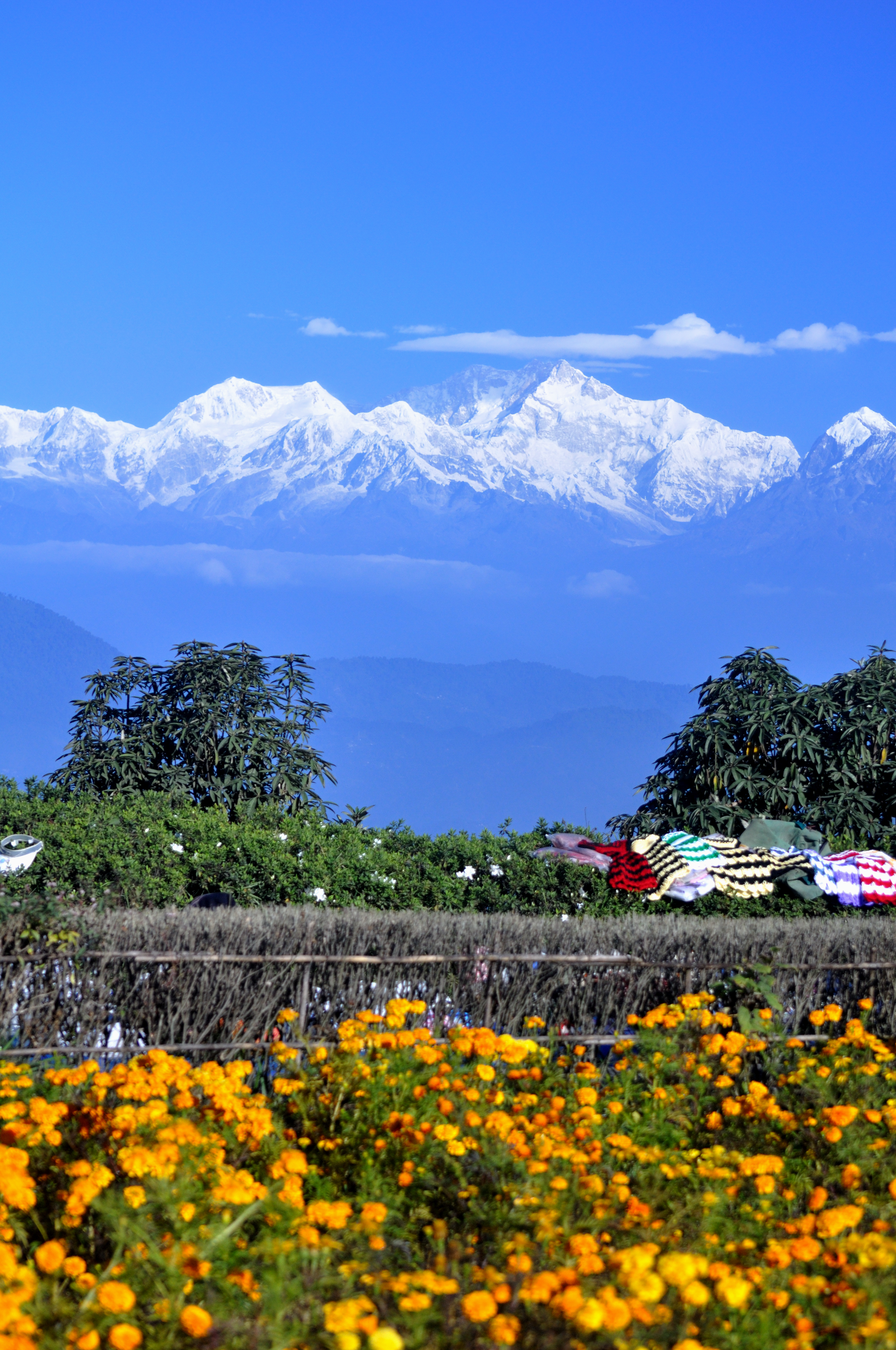
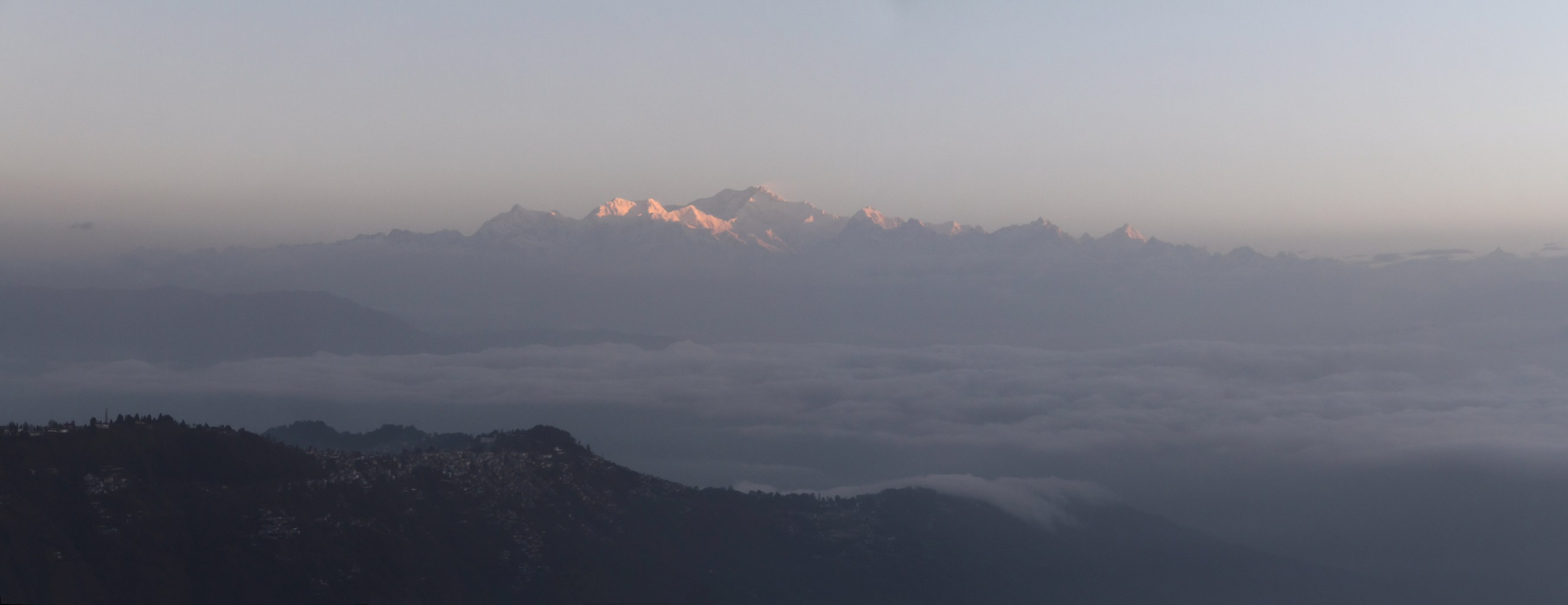
Kanchenjunga over Darjeeling
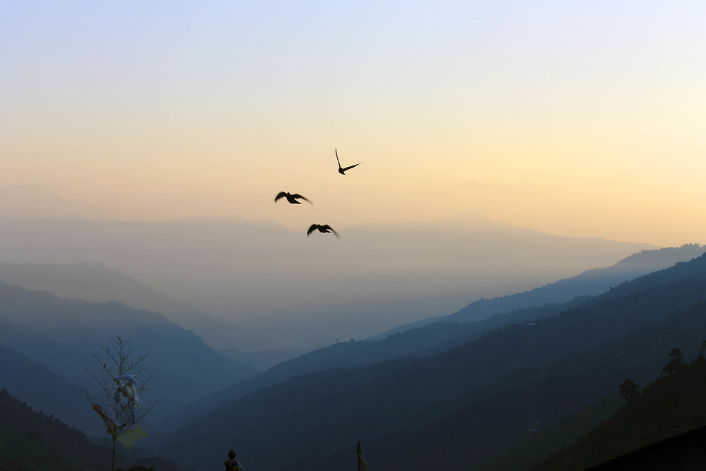
Flying Pigeons.
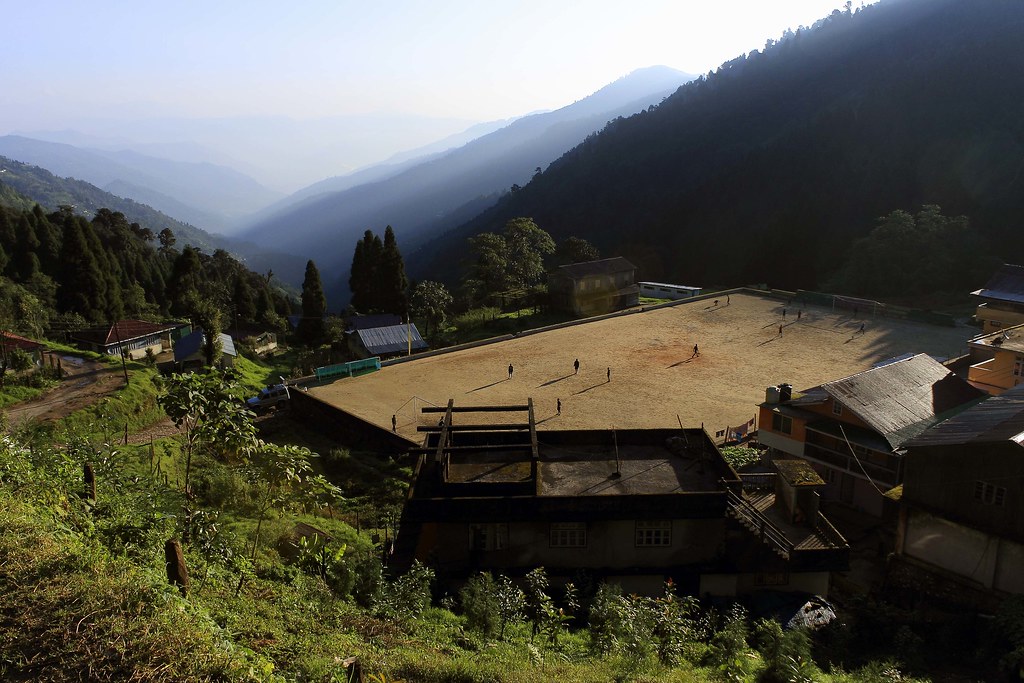
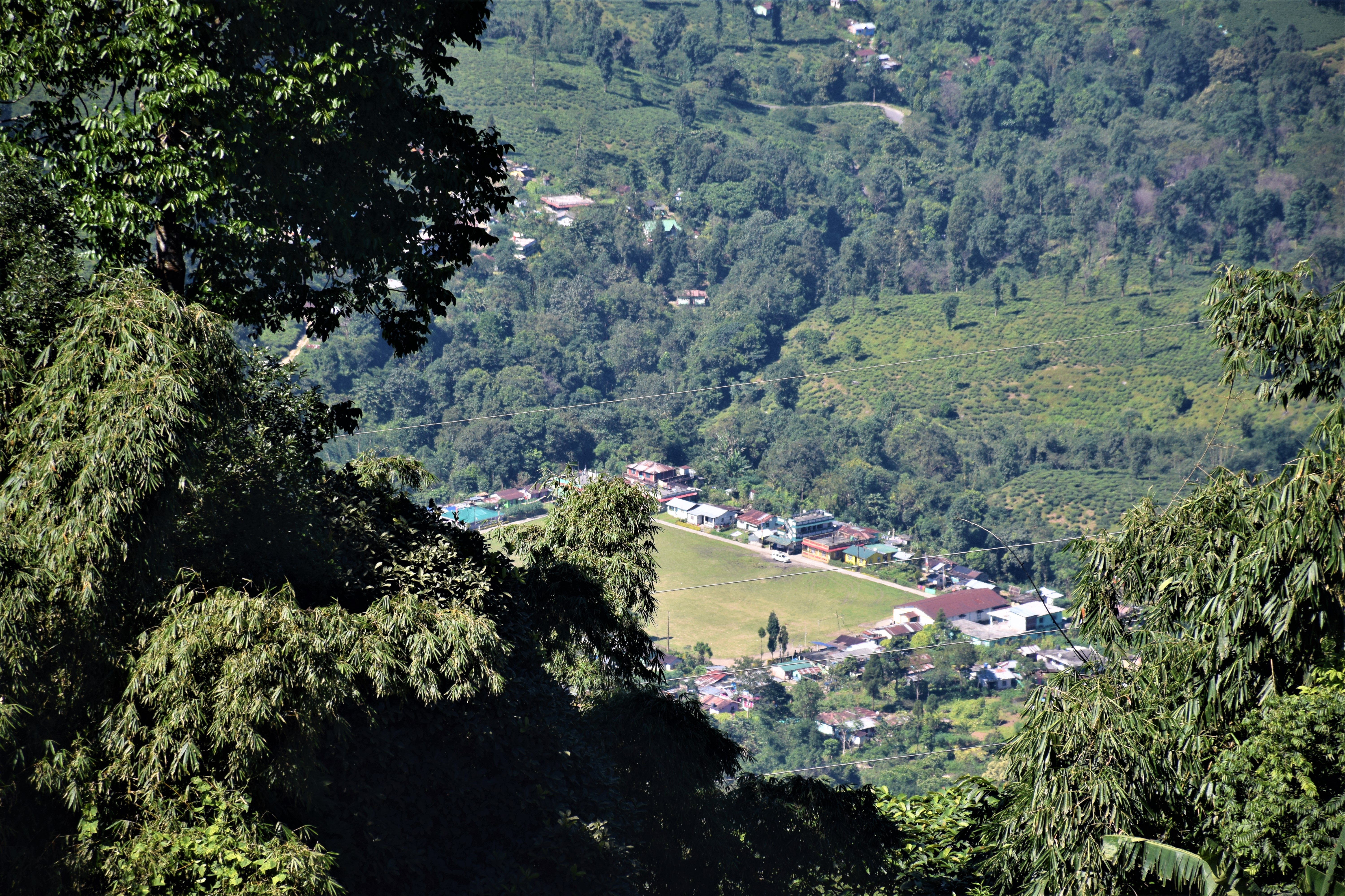
Playground at the foothill.

Chitrey Valley [Explored]
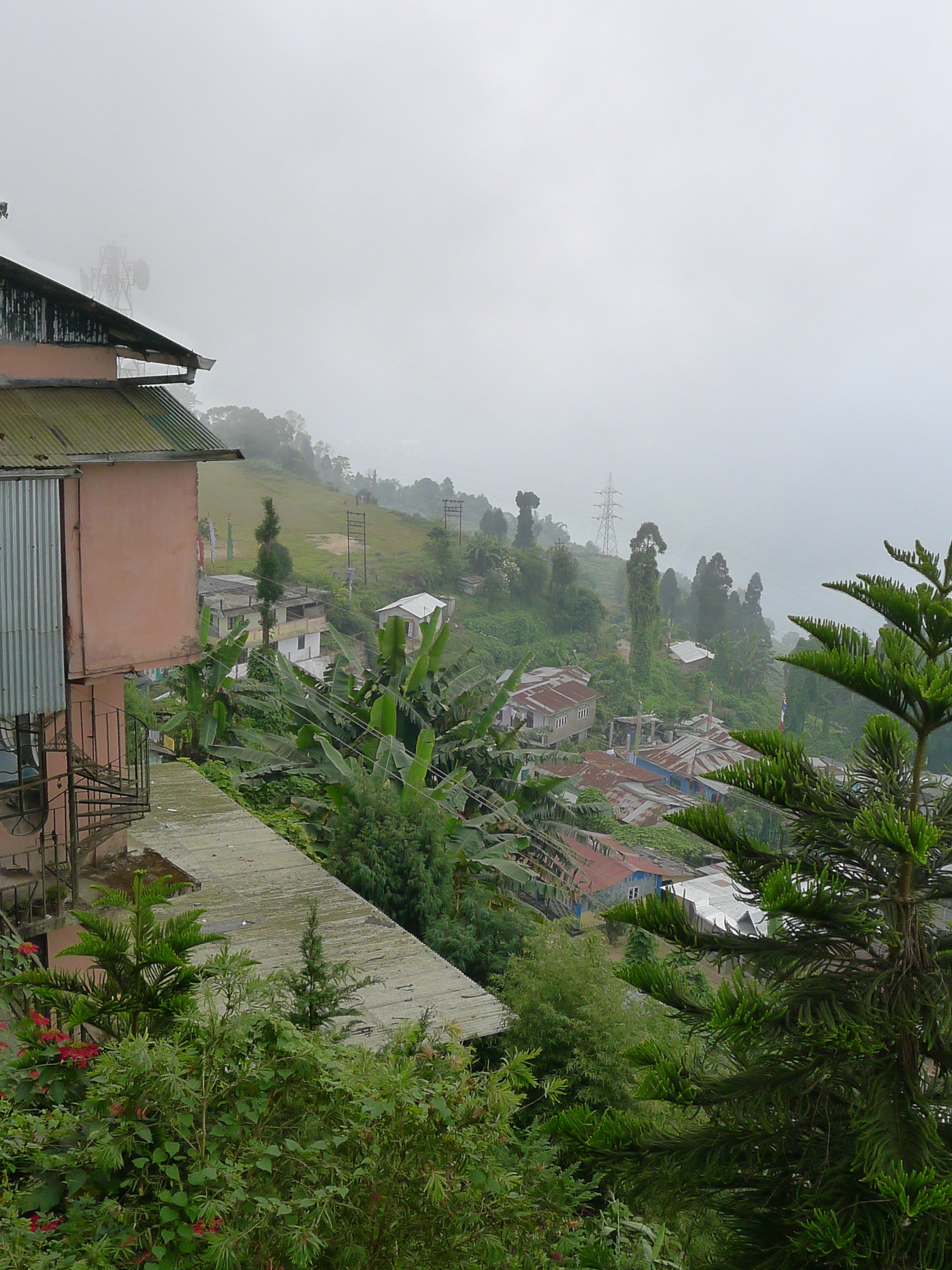
View from Cochrane Place, Kurseong

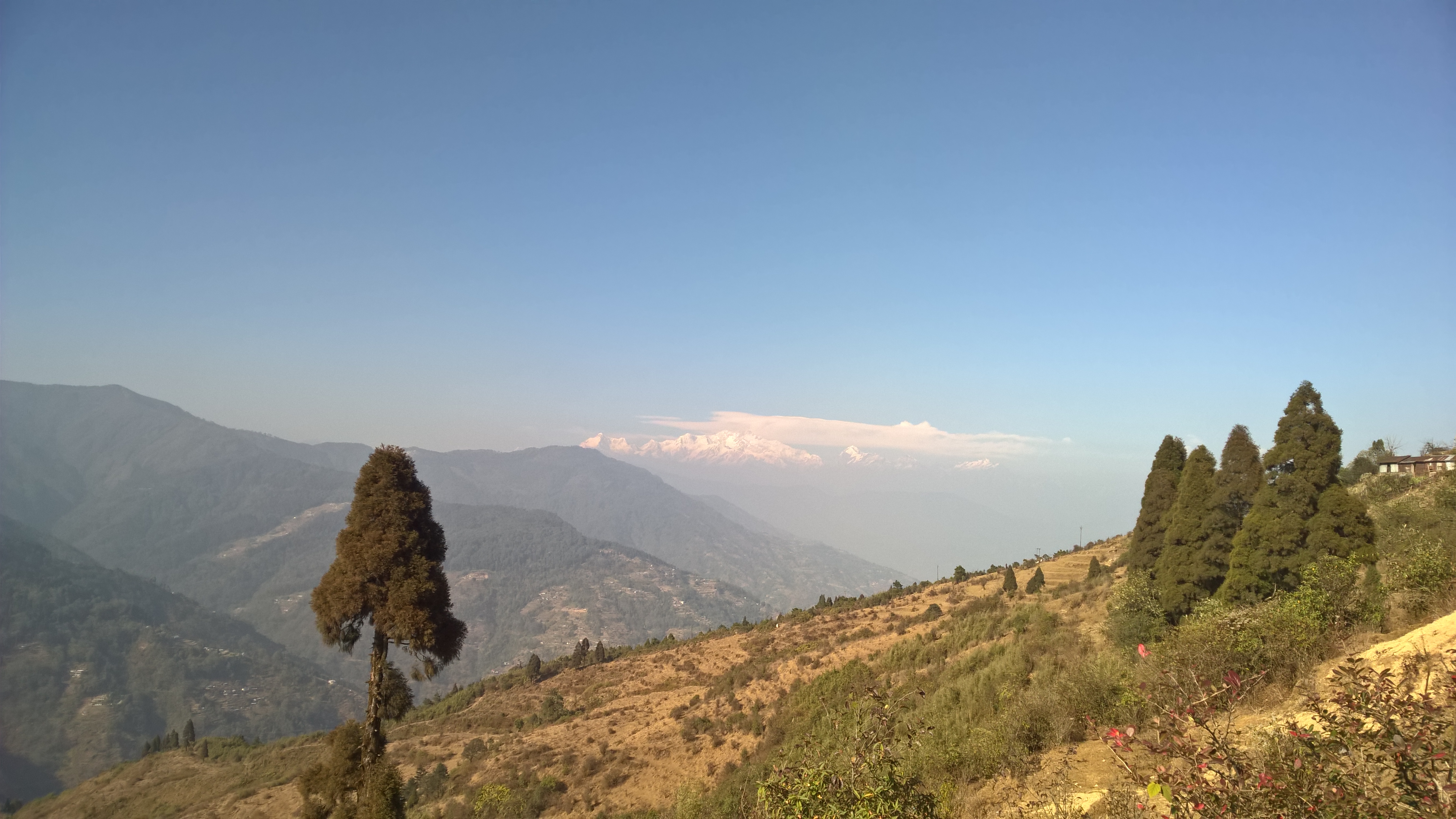
view of Kangchenjunga
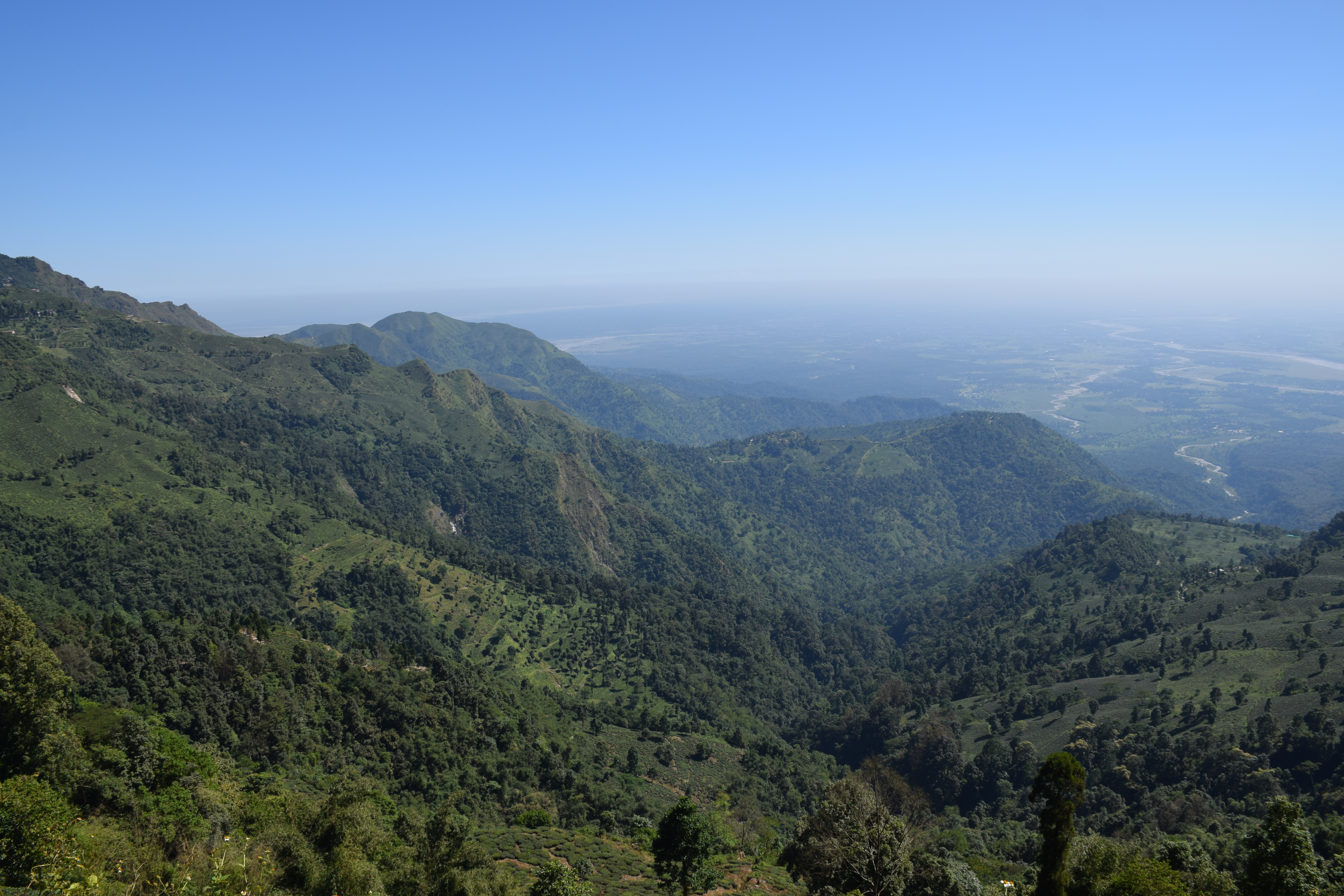
From the hills over the plains

Sunrise over Kanchendzonga

Early morning sunrise along with majestic view of Kanchenjunga at Tiger Hill, Darjeeling
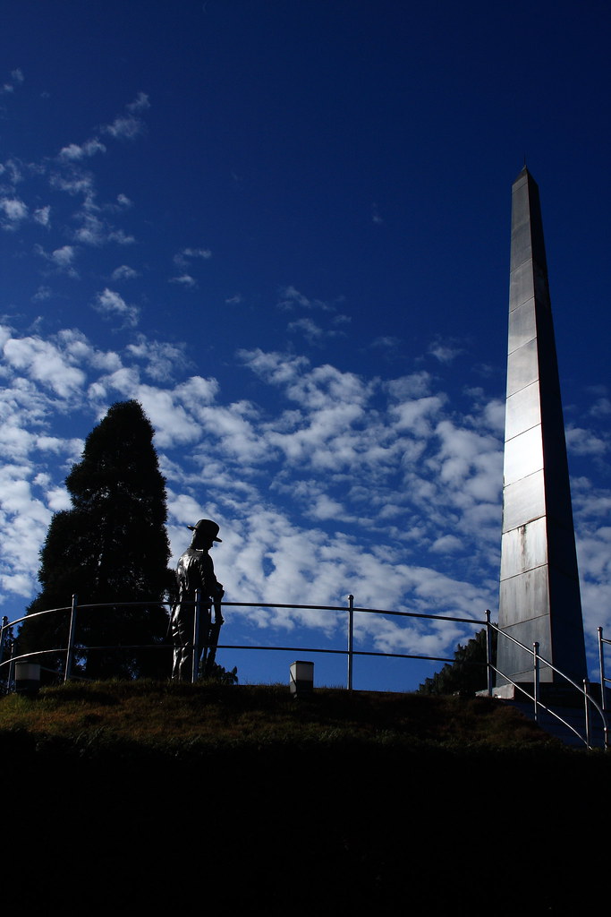
War Memorial, Batasia Loop
Panorama of Makaibari

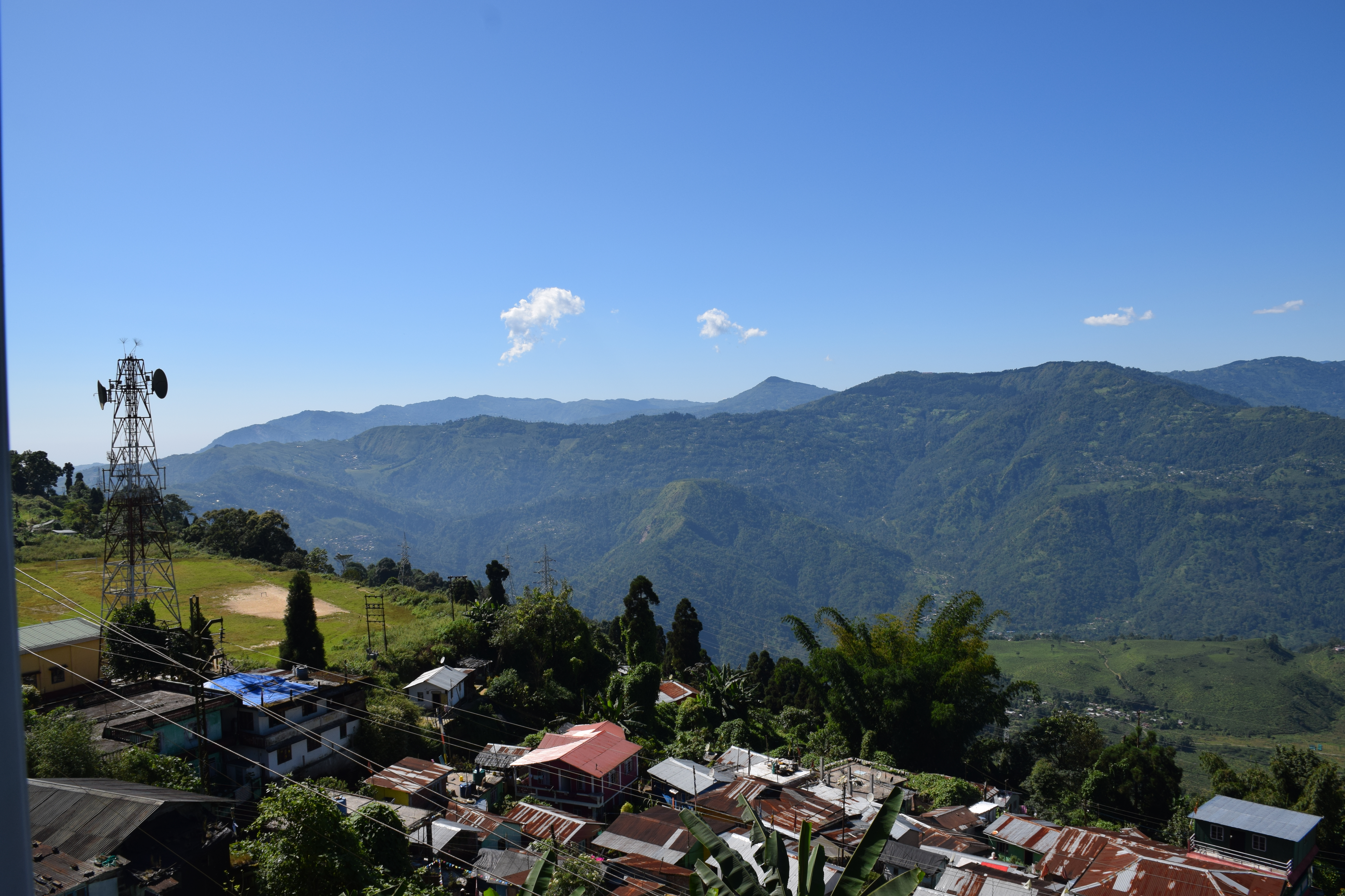
Kurseong 13 - View of the surroundings
Kangchenjunga viewed from Tiger Hill, Darjeeling
Meandering roads - View from Nathula
Batasia Loop
Valley view
After a long day, back to the room with view :-) #travelpics #kurseong #westbengal
Still waiting
Kanchenjunga Peak

Mt. Kanchenjunga

Lever de soleil sur le Kangchenjunga

Darjeeling - Mount Kangchendzonga
Le massif du Kangchenjunga au lever du soleil

Mer de nuages
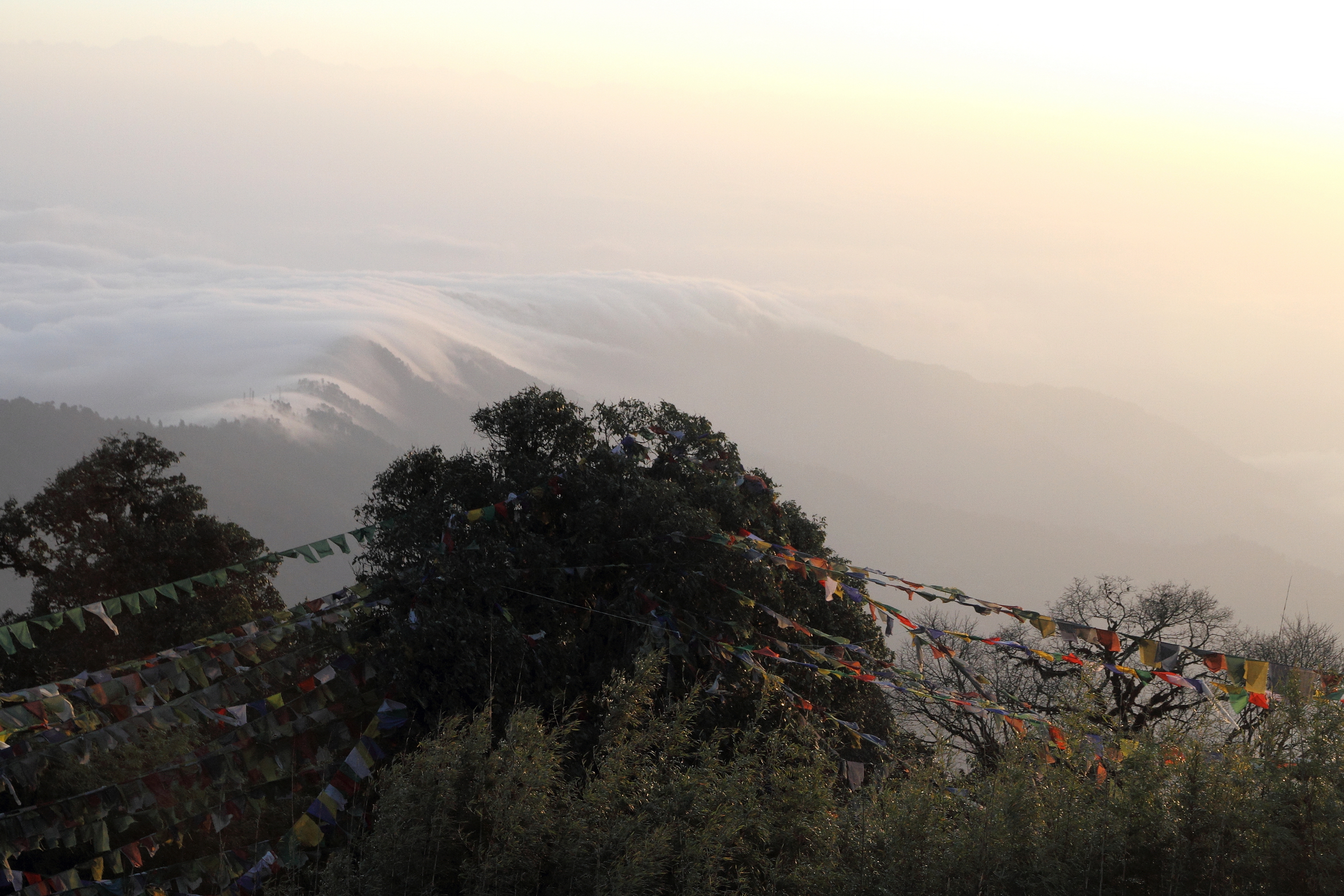
Paysage fantomatique
WP_20170205_14_30_32_Pro.jpg
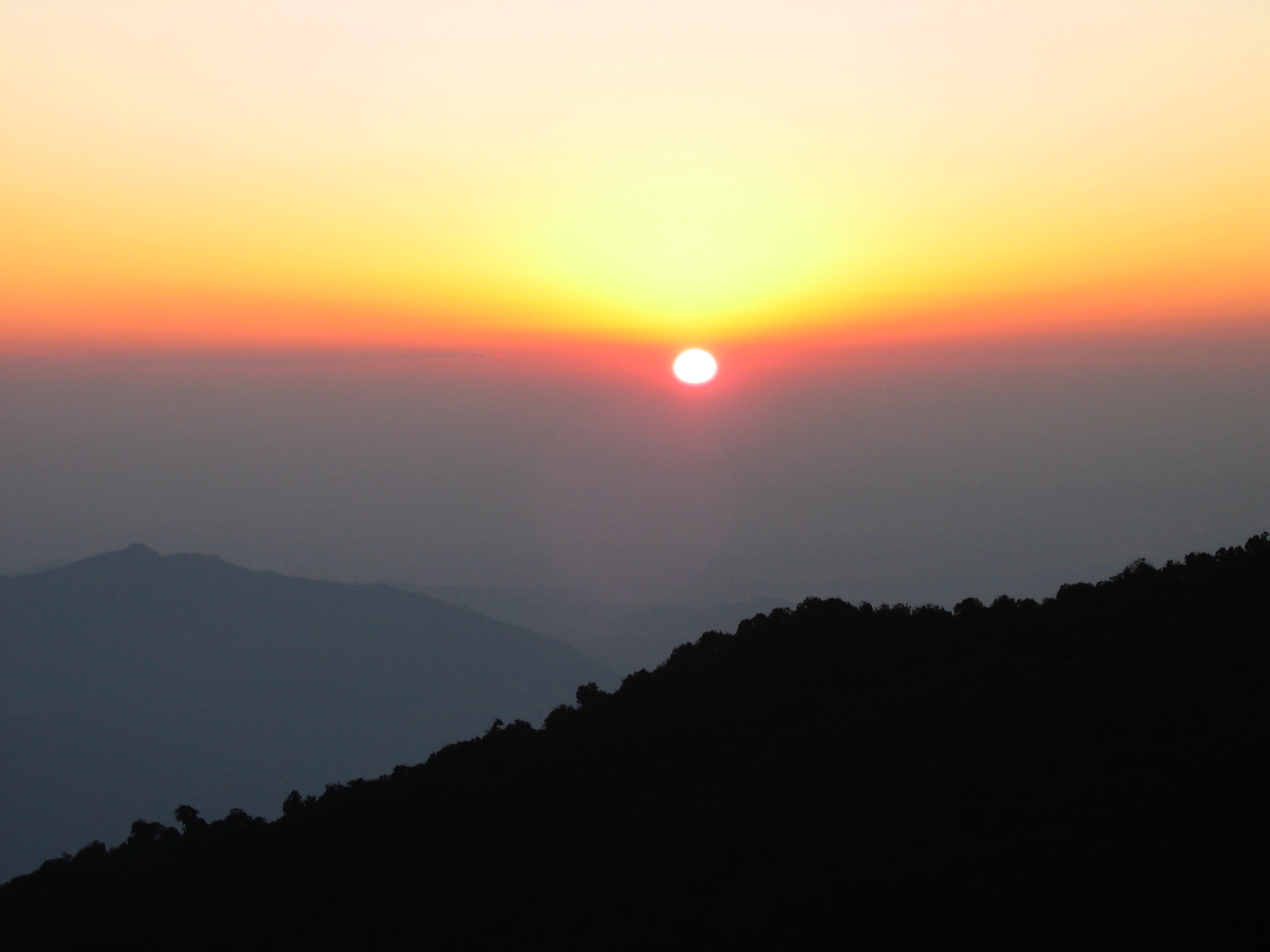
Tiger Hill sunrise
Le jour se lève sur l'Himalaya
The Mighty Kanchenjunga
color flows

Tiger Hill sunrise

Sunrise from Tiger Hill
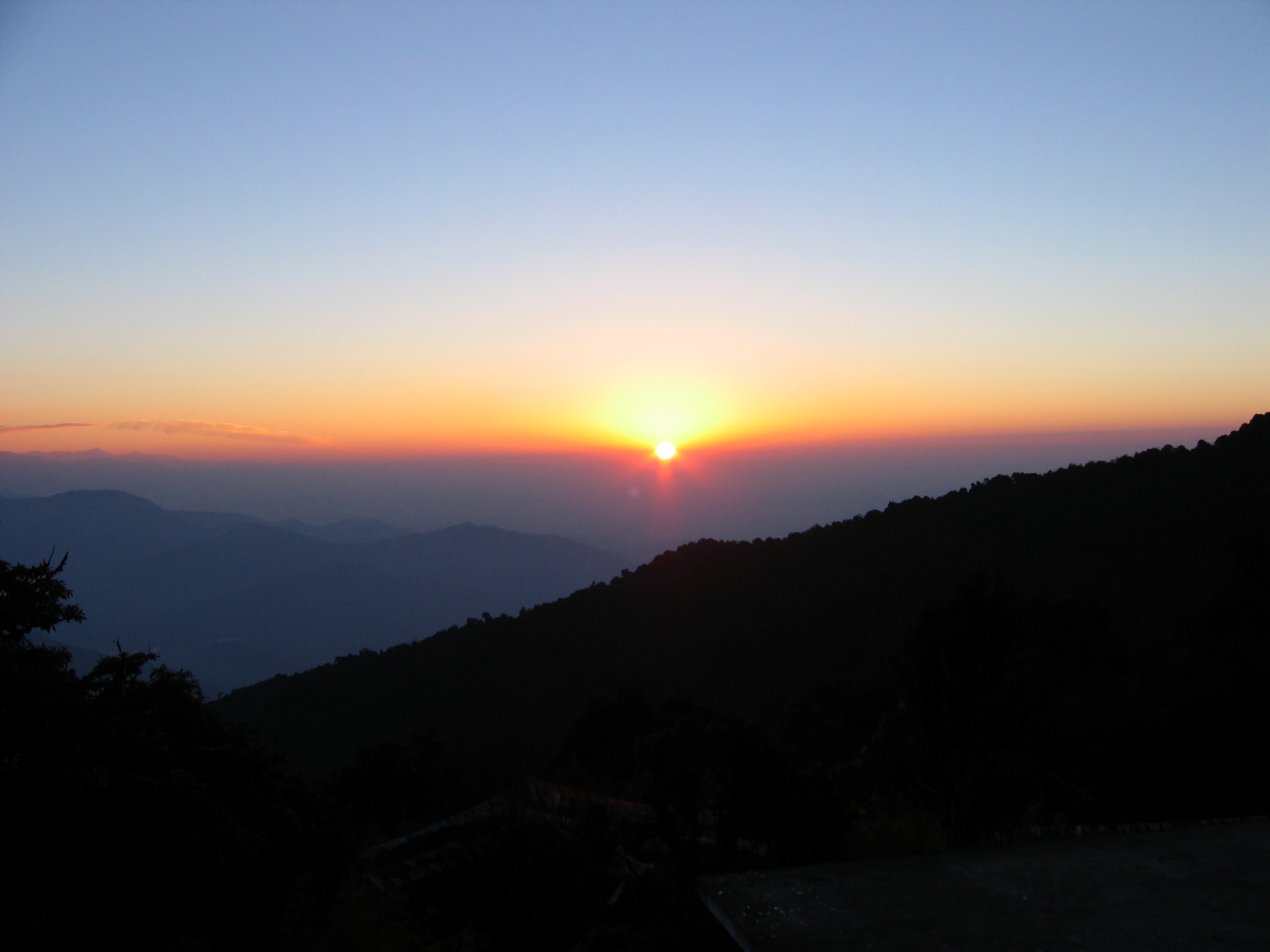
Tiger Hill sunrise

Screamer. ... #nature #naturelovers #natural #landscape #landscape_captures #lake #longexposure #night #reflection #canon #canon7d #canonphotography #canon_official #canon_photos #mirik #india #incredibleindia #photographersofbangladesh
Topographic Map of Mirik, West Bengal, India
Find elevation by address:

Places near Mirik, West Bengal, India:
Mirik Bazar
Rishi Road
Ambootia Tea Garden
Rishi Road
Kanyam
Kanyam, Ilam
Fikkal
Sukhia Pokhari
Mane Bhanjang
Suryodaya
Lepcha Jagat
Ghoom
Majua
Rangbull
Tiger Hill Sunrise Observatory
Unnamed Road
Senchal Forest
Tiger Hill, Darjeeling
Limbugaon
Darjeeling
Recent Searches:
- Elevation of Woolwine, VA, USA
- Elevation of Lumagwas Diversified Farmers Multi-Purpose Cooperative, Lumagwas, Adtuyon, RV32+MH7, Pangantucan, Bukidnon, Philippines
- Elevation of Homestead Ridge, New Braunfels, TX, USA
- Elevation of Orchard Road, Orchard Rd, Marlborough, NY, USA
- Elevation of 12 Hutchinson Woods Dr, Fletcher, NC, USA
- Elevation of Holloway Ave, San Francisco, CA, USA
- Elevation of Norfolk, NY, USA
- Elevation of - San Marcos Pass Rd, Santa Barbara, CA, USA
- Elevation of th Pl SE, Issaquah, WA, USA
- Elevation of 82- D Rd, Captain Cook, HI, USA