Elevation map of Miranda - State of Mato Grosso do Sul, -, Brazil
Location: Brazil > State Of Mato Grosso Do Sul >
Longitude: -56.651385
Latitude: -20.109403
Elevation: 105m / 344feet
Barometric Pressure: 100KPa
Elevation Map:
Satellite Map:
Related Photos:

Marsh Deer (Blastocerus dichotomus)

white-headed marsh tyrant

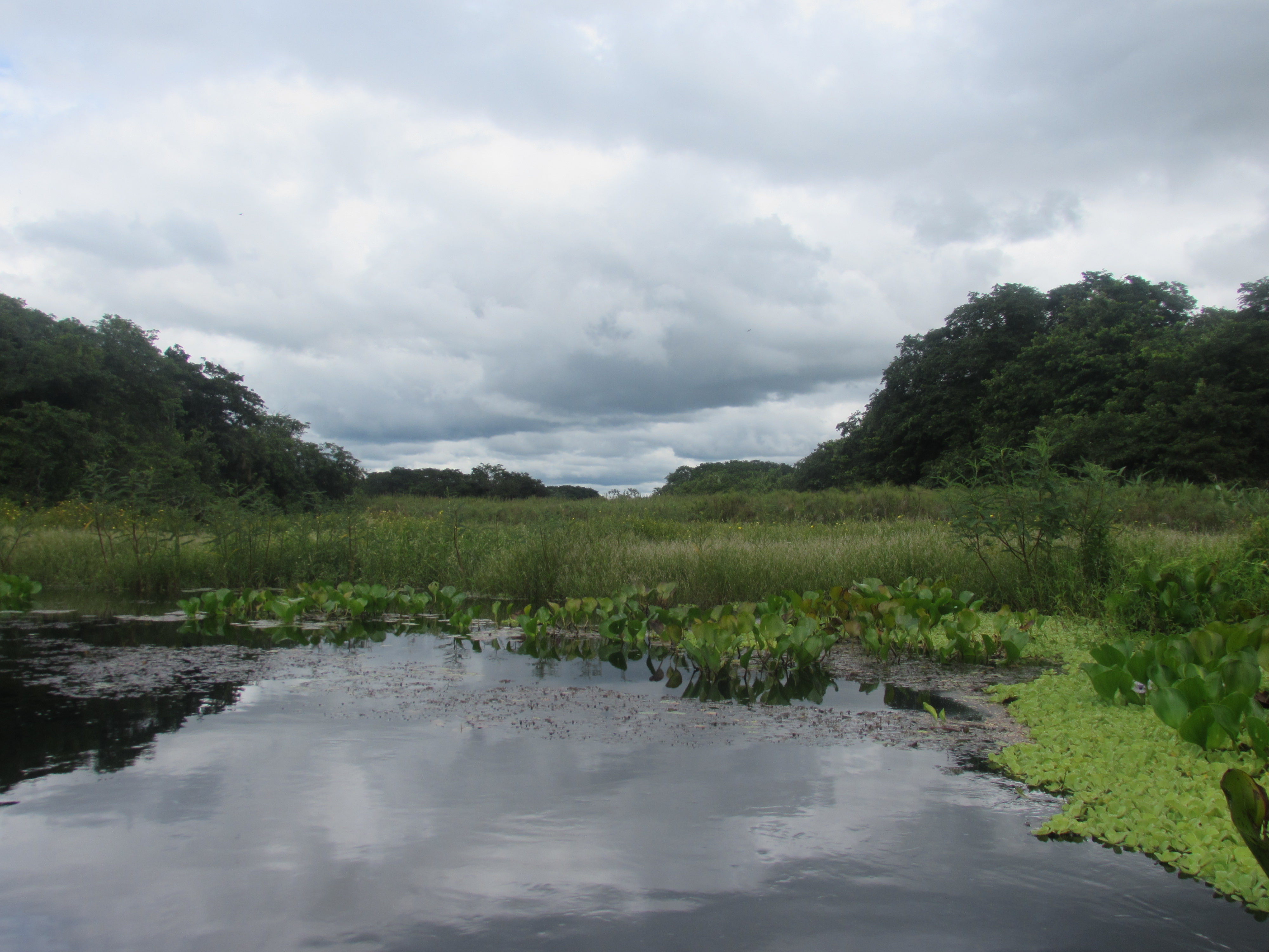
Wetlands in Brazil
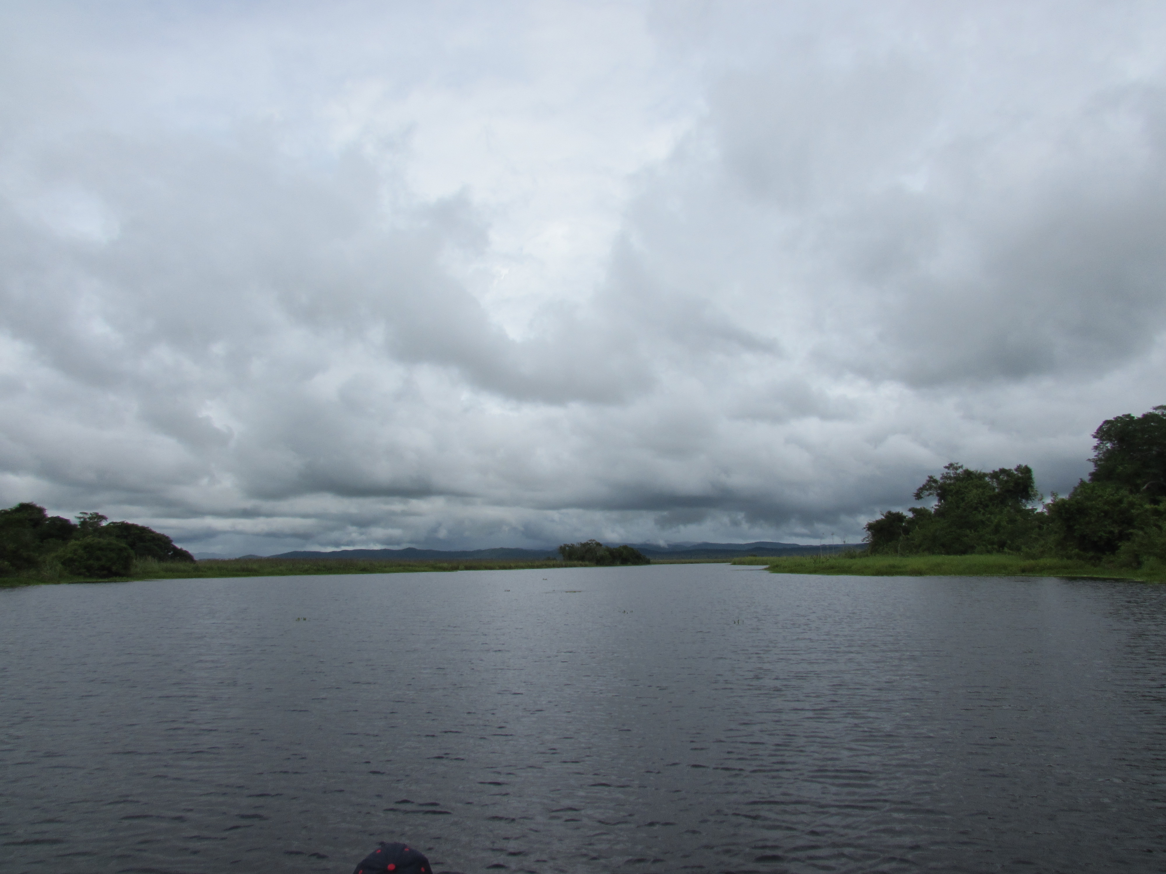
salobra river widens

Anartia jatrophae jatrophae
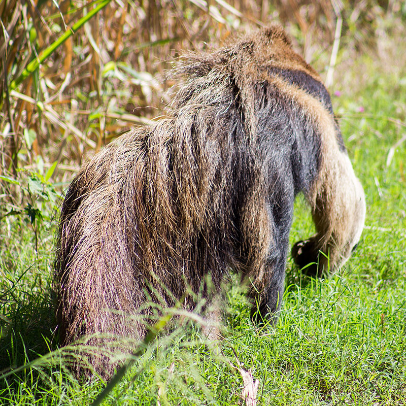
tamandua-bandeira

Bird Flying in the Pantanal
salobra river

saffron finch

Pantaneiros atravessando bando de búfalos
Topographic Map of Miranda - State of Mato Grosso do Sul, -, Brazil
Find elevation by address:

Recent Searches:
- Elevation of SW 57th Ave, Portland, OR, USA
- Elevation of Crocker Dr, Vacaville, CA, USA
- Elevation of Pu Ngaol Community Meeting Hall, HWHM+3X7, Krong Saen Monourom, Cambodia
- Elevation of Royal Ontario Museum, Queens Park, Toronto, ON M5S 2C6, Canada
- Elevation of Groblershoop, South Africa
- Elevation of Power Generation Enterprises | Industrial Diesel Generators, Oak Ave, Canyon Country, CA, USA
- Elevation of Chesaw Rd, Oroville, WA, USA
- Elevation of N, Mt Pleasant, UT, USA
- Elevation of 6 Rue Jules Ferry, Beausoleil, France
- Elevation of Sattva Horizon, 4JC6+G9P, Vinayak Nagar, Kattigenahalli, Bengaluru, Karnataka, India