Elevation of Minong, WI, USA
Location: United States > Wisconsin > Washburn County >
Longitude: -91.924688
Latitude: 46.0974228
Elevation: 325m / 1066feet
Barometric Pressure: 97KPa
Elevation Map:
Satellite Map:
Related Photos:

Yard lakeside

Swing!

All quiet and alone.

Clouds and sunsets.

Sunset at Camp
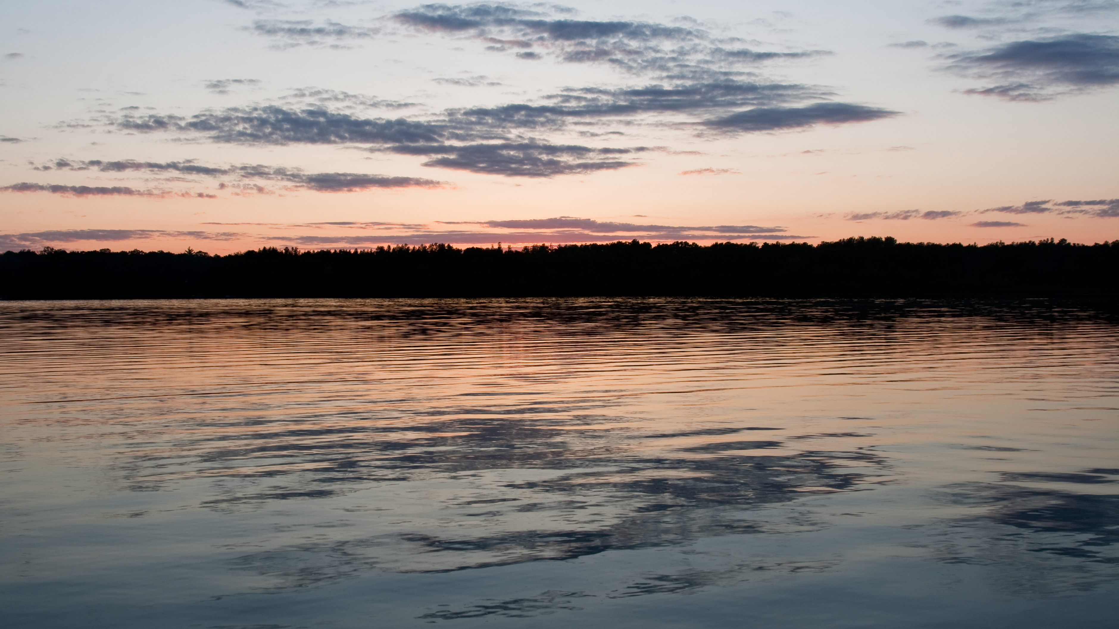
Pokegama Sunset.

DSC_6067.jpg
DSC_6046.jpg

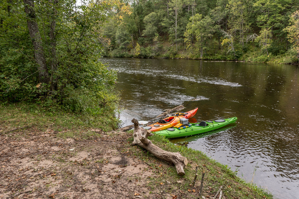
Where the blueberries grow

DSC_1192_bd080653-c5cb-4549-b973-b542f4c61a6b

DSC_1202_40467632-46ae-4add-875e-b03df87101ae
Topographic Map of Minong, WI, USA
Find elevation by address:

Places in Minong, WI, USA:
Places near Minong, WI, USA:
Shell Creek Road
US-53, Minong, WI, USA
Minong
E Community Church Rd, Minong, WI, USA
Washburn County
Sykes Road
Trego
W5662
Trego
29273 Pine Knoll Ln
Scott
W4484 Friday St
Springbrook
Springbrook
Great Bear Pass
Crystal Mountain Road
E Nyquist Rd, Solon Springs, WI, USA
Douglas County
Dairyland
Crystal
Recent Searches:
- Elevation of Groblershoop, South Africa
- Elevation of Power Generation Enterprises | Industrial Diesel Generators, Oak Ave, Canyon Country, CA, USA
- Elevation of Chesaw Rd, Oroville, WA, USA
- Elevation of N, Mt Pleasant, UT, USA
- Elevation of 6 Rue Jules Ferry, Beausoleil, France
- Elevation of Sattva Horizon, 4JC6+G9P, Vinayak Nagar, Kattigenahalli, Bengaluru, Karnataka, India
- Elevation of Great Brook Sports, Gold Star Hwy, Groton, CT, USA
- Elevation of 10 Mountain Laurels Dr, Nashua, NH, USA
- Elevation of 16 Gilboa Ln, Nashua, NH, USA
- Elevation of Laurel Rd, Townsend, TN, USA