Elevation of Minhla, Myanmar (Burma)
Location: Myanmar (burma) > Magway Region >
Longitude: 95.0130453
Latitude: 19.9684262
Elevation: 71m / 233feet
Barometric Pressure: 100KPa
Elevation Map:
Satellite Map:
Related Photos:
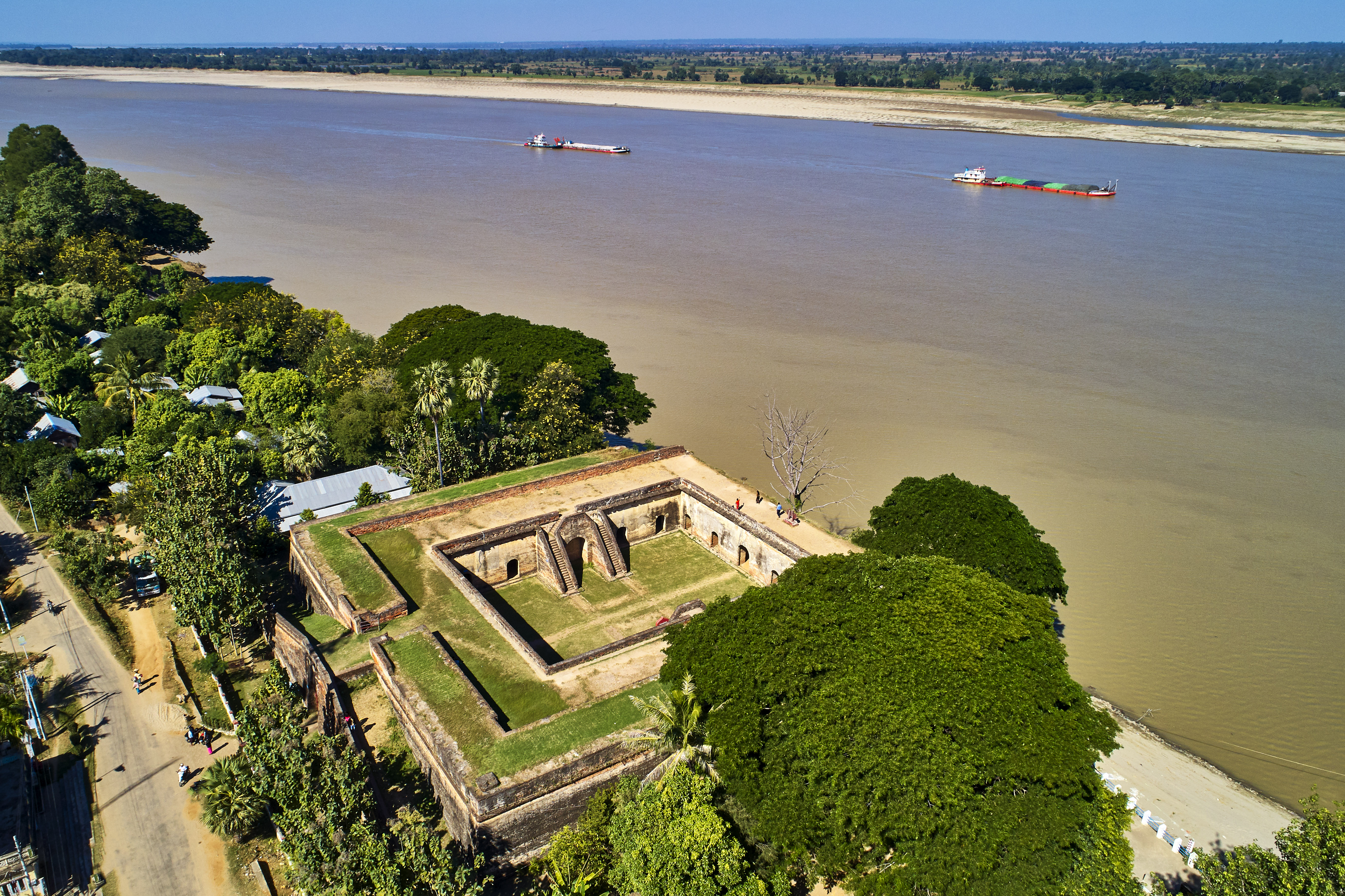
Min Hla Fort.
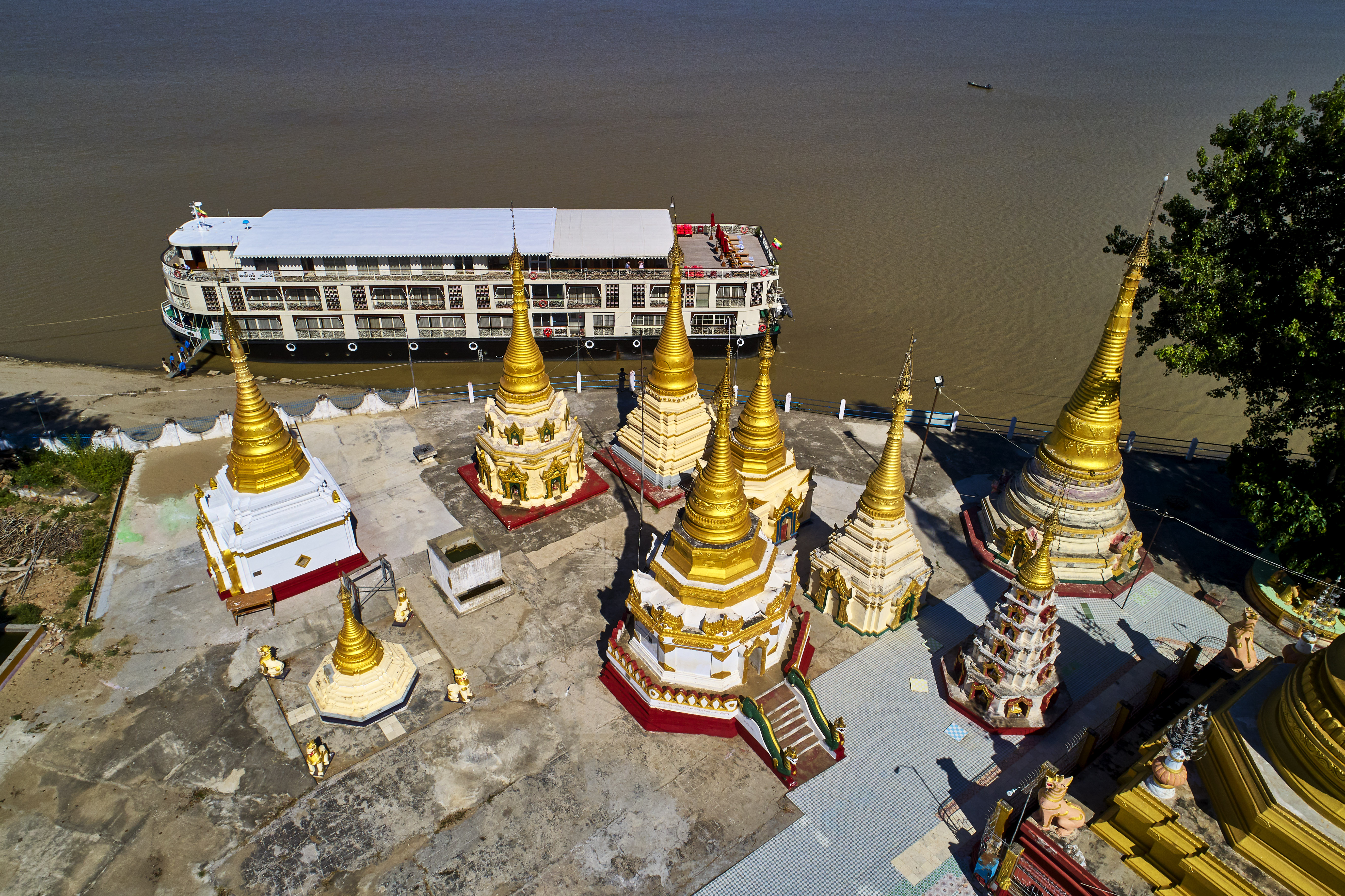
Min Hla City,

Min Hla City 4

Min Hla City 2

Flood waters expose many tree roots along the riverbank

Farmers at noon - Myanmar (Burma)

Farmers at noon - Myanmar (Burma)
Topographic Map of Minhla, Myanmar (Burma)
Find elevation by address:

Places near Minhla, Myanmar (Burma):
Recent Searches:
- Elevation of 72-31 Metropolitan Ave, Middle Village, NY, USA
- Elevation of 76 Metropolitan Ave, Brooklyn, NY, USA
- Elevation of Alisal Rd, Solvang, CA, USA
- Elevation of Vista Blvd, Sparks, NV, USA
- Elevation of 15th Ave SE, St. Petersburg, FL, USA
- Elevation of Beall Road, Beall Rd, Florida, USA
- Elevation of Leguwa, Nepal
- Elevation of County Rd, Enterprise, AL, USA
- Elevation of Kolchuginsky District, Vladimir Oblast, Russia
- Elevation of Shustino, Vladimir Oblast, Russia