Elevation of Minamimuro District, Mie Prefecture, Japan
Location: Japan > Mie Prefecture >
Longitude: 135.996944
Latitude: 33.816944
Elevation: 291m / 955feet
Barometric Pressure: 98KPa
Elevation Map:
Satellite Map:
Related Photos:
鬼ヶ城
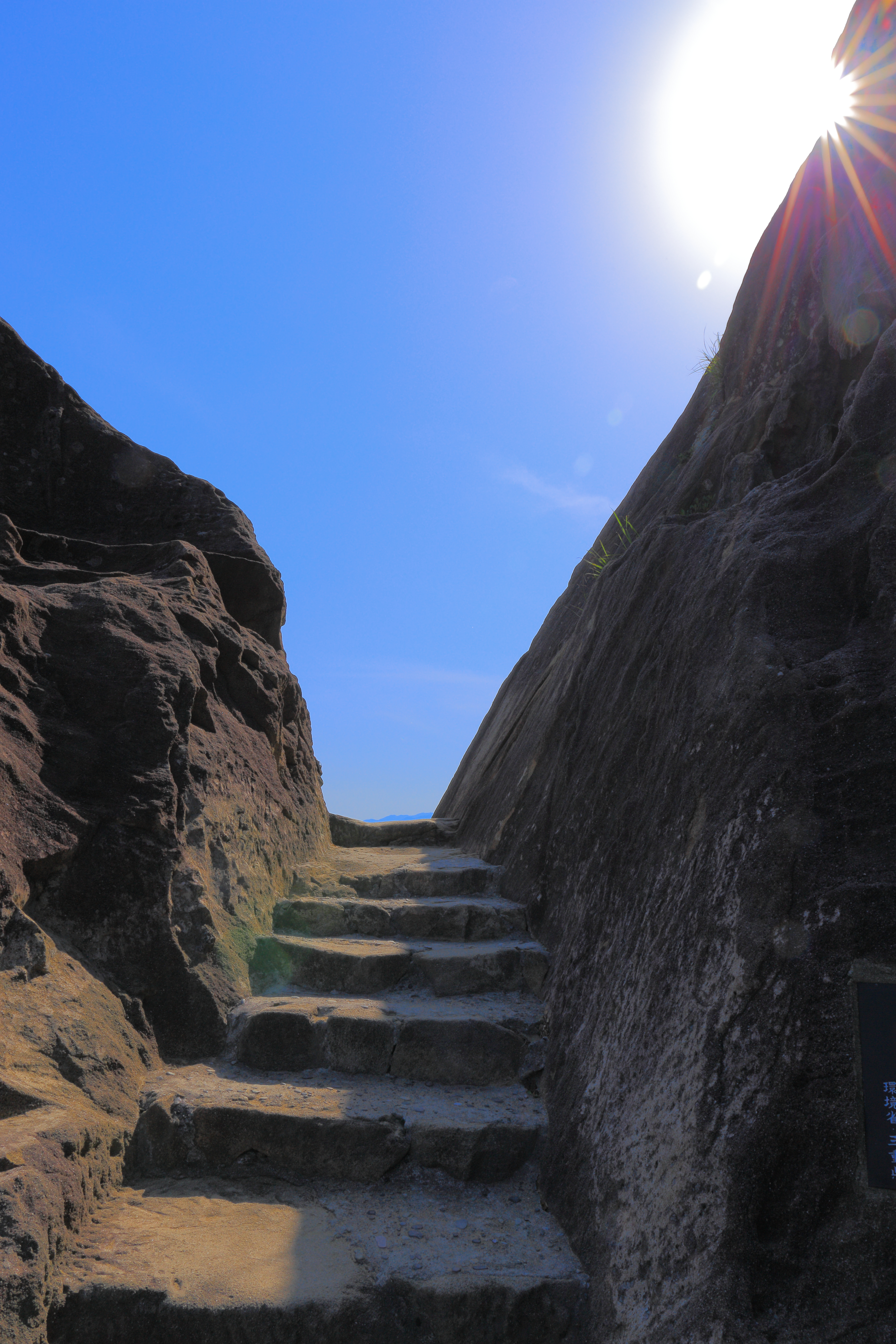
View from stone steps
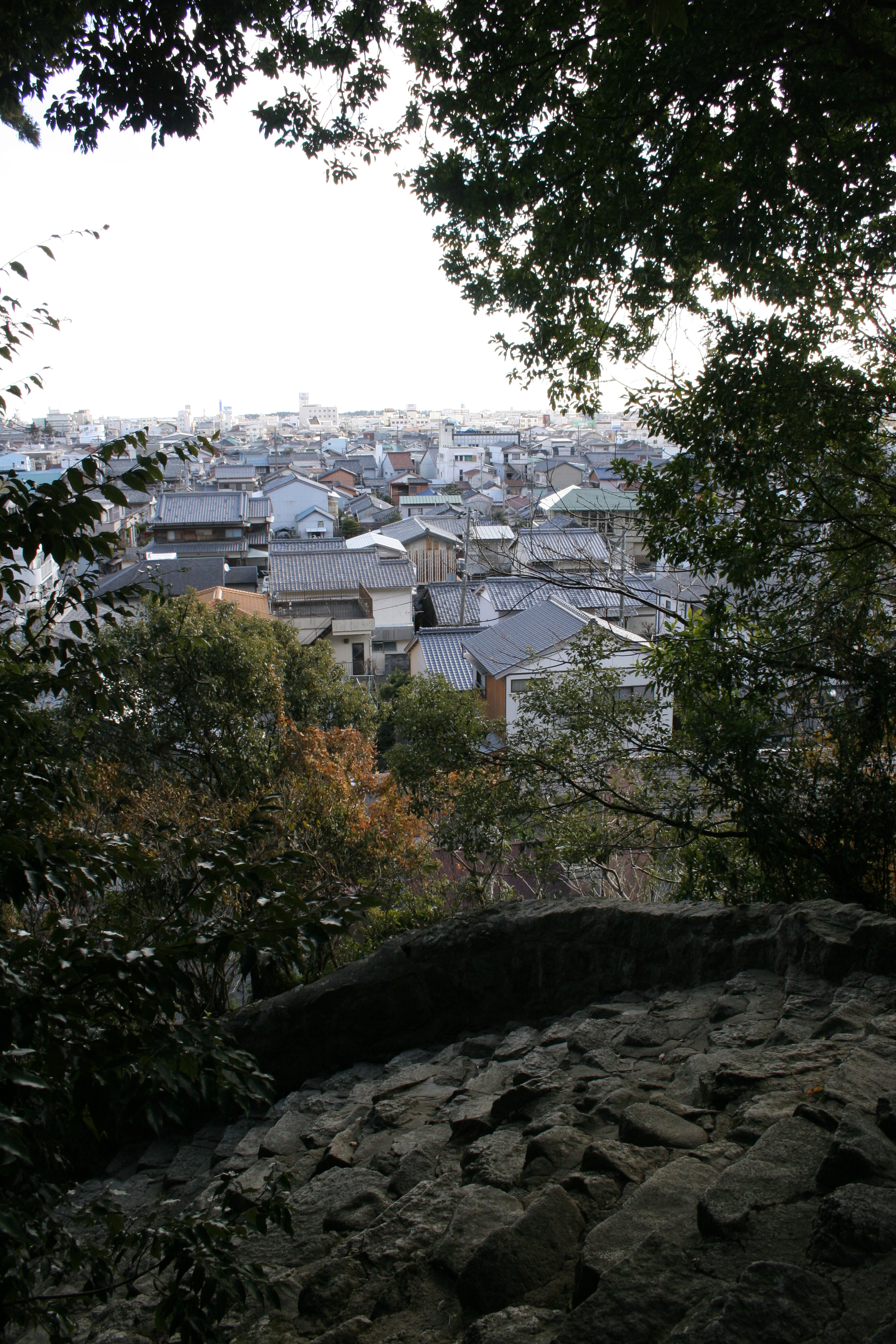
View from Mt.Kamikura
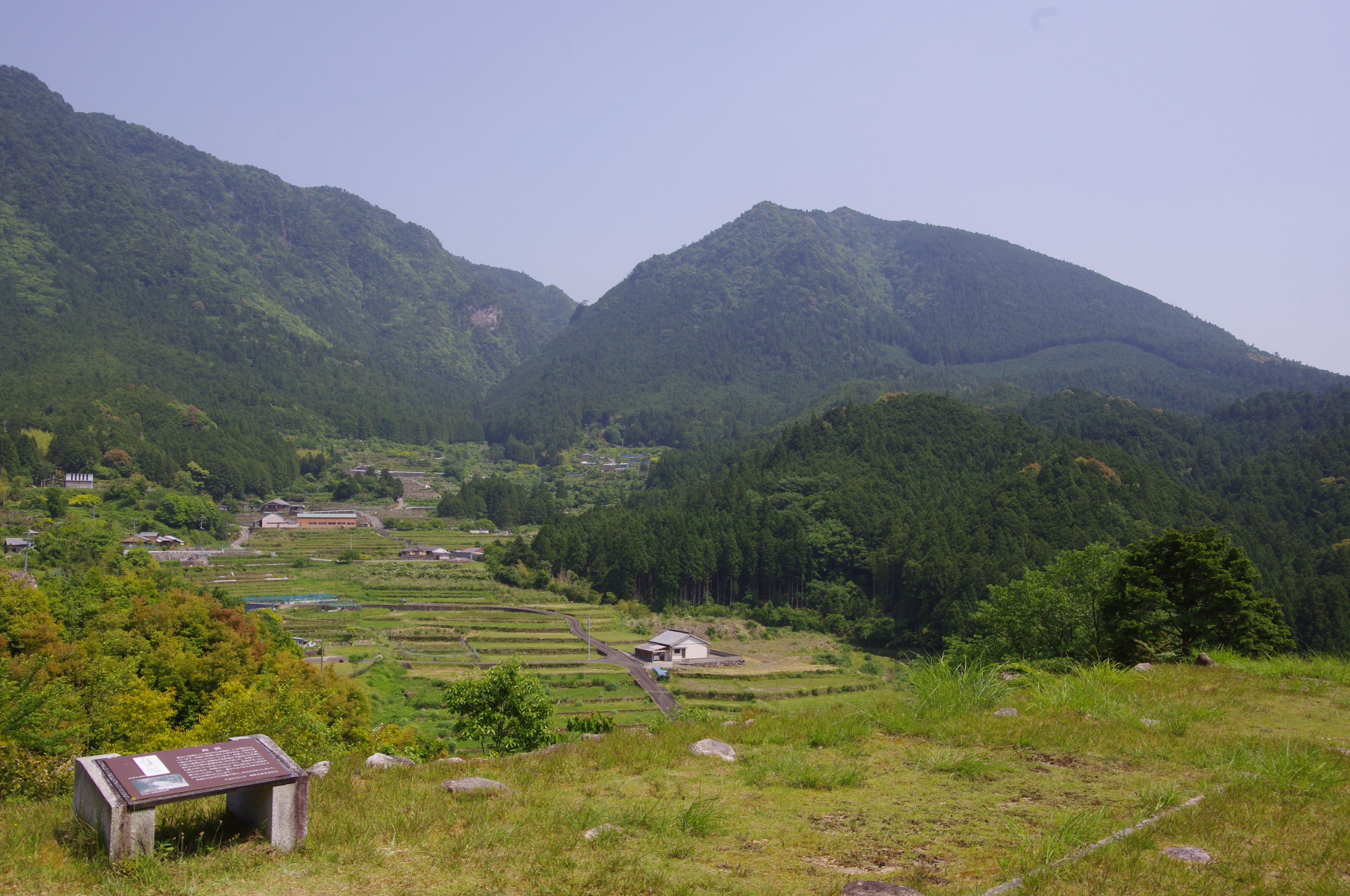
赤木城址からの眺望
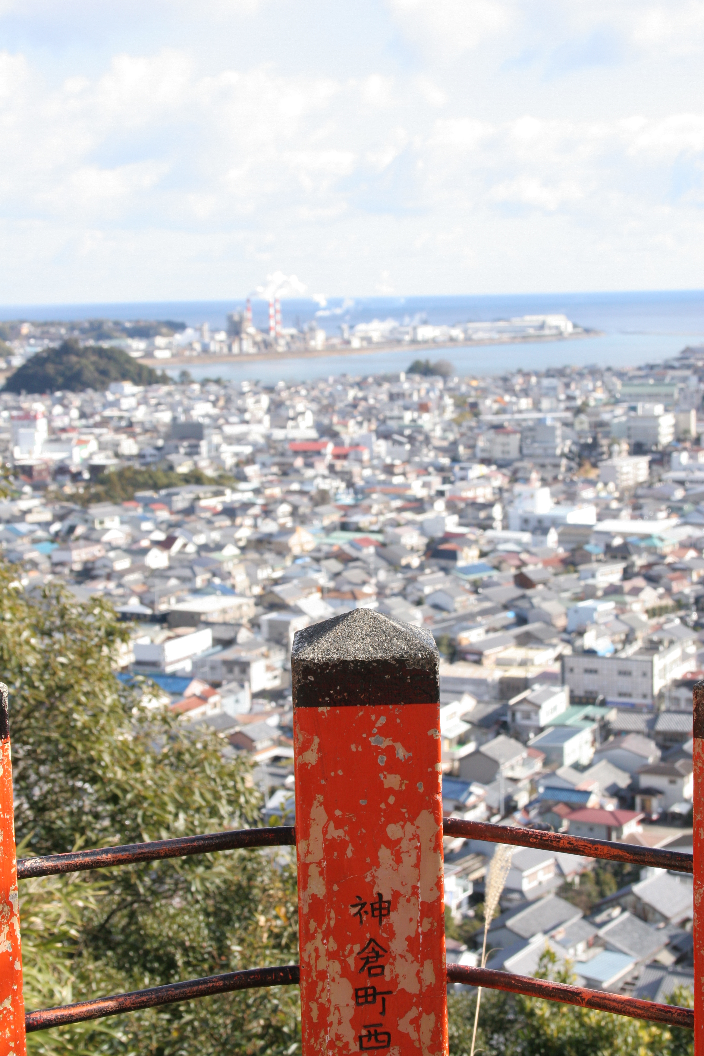
View from Mt.Kamikura
View from Mt.Kamikura
We love fishing!
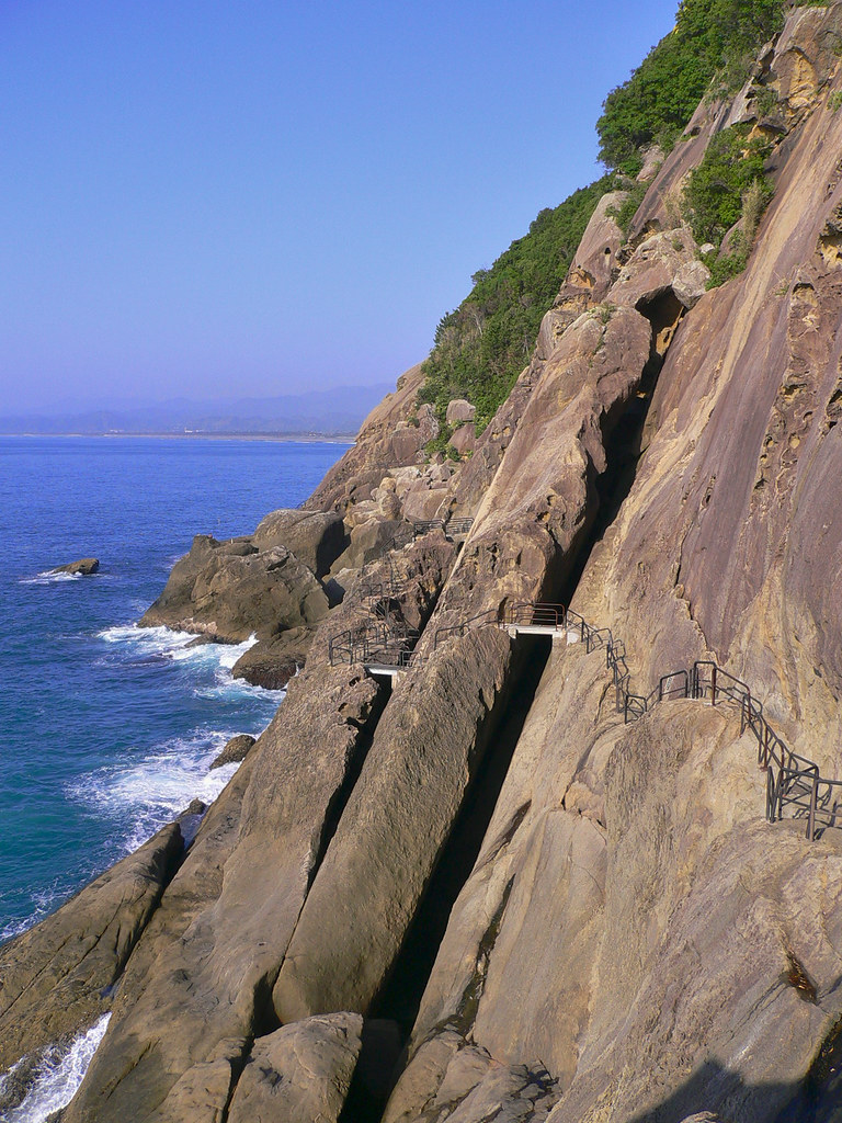
Onigajo Rocks

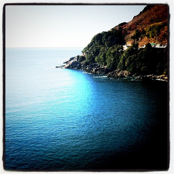
Moody Kii Peninsula

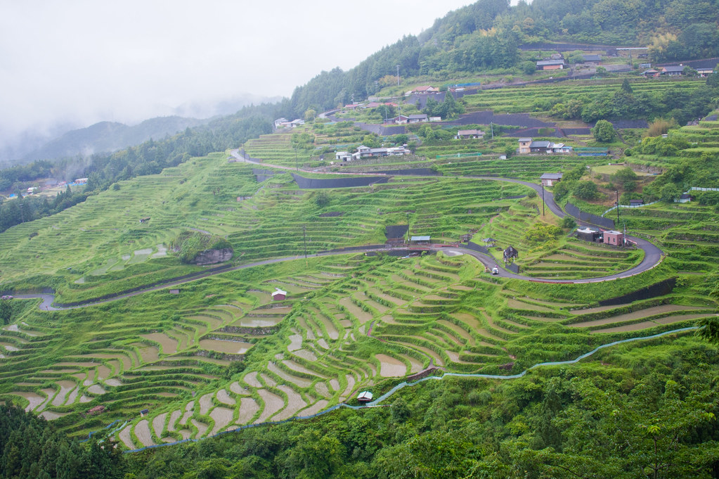
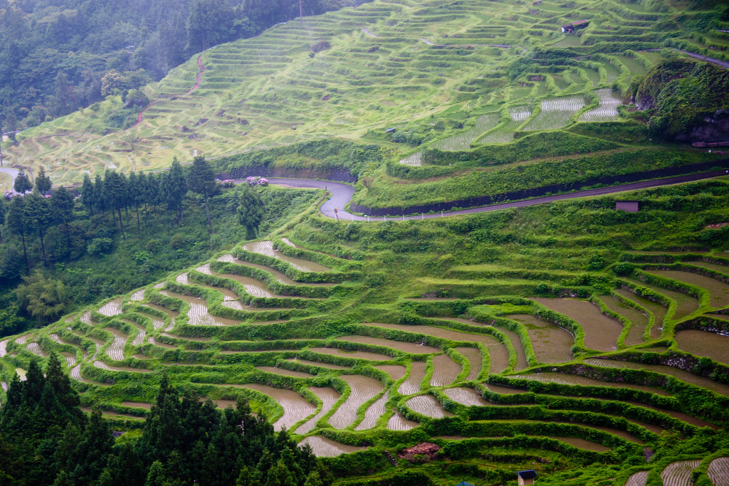
Traditional Japanese rice terraces and Windmill palms (Trachycarpus fortunei), Maruyama, Kumano

Traditional Japanese rice paddy terraces, Maruyama, Kumano
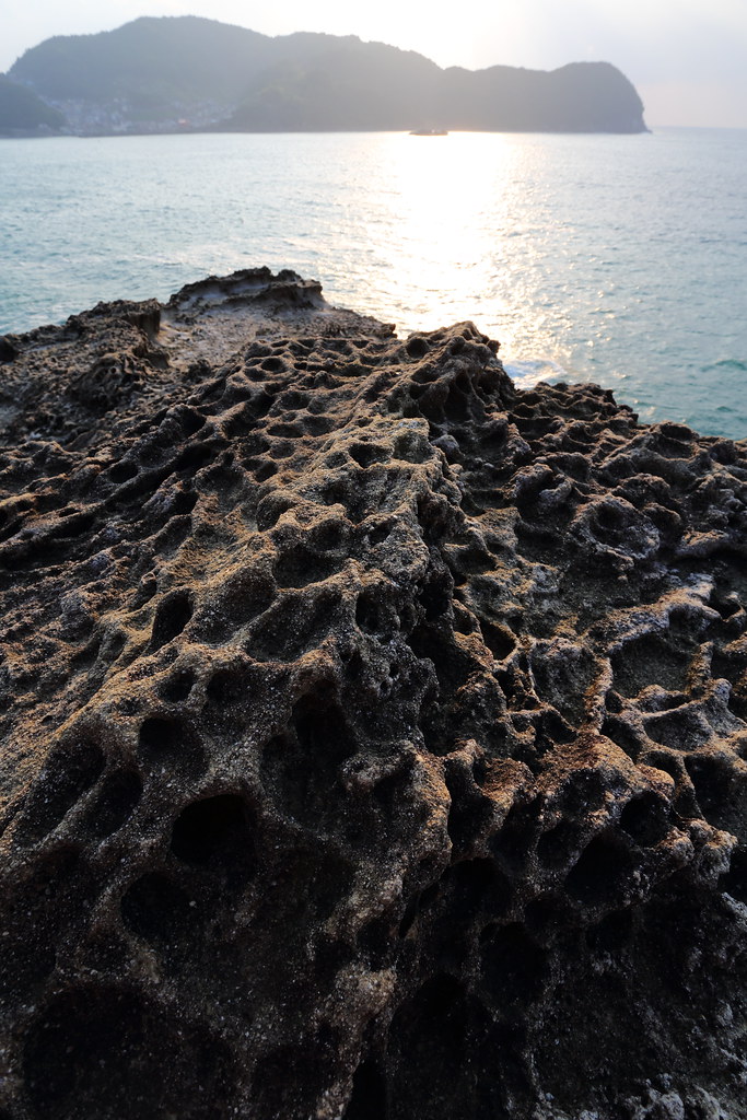
Strange rock

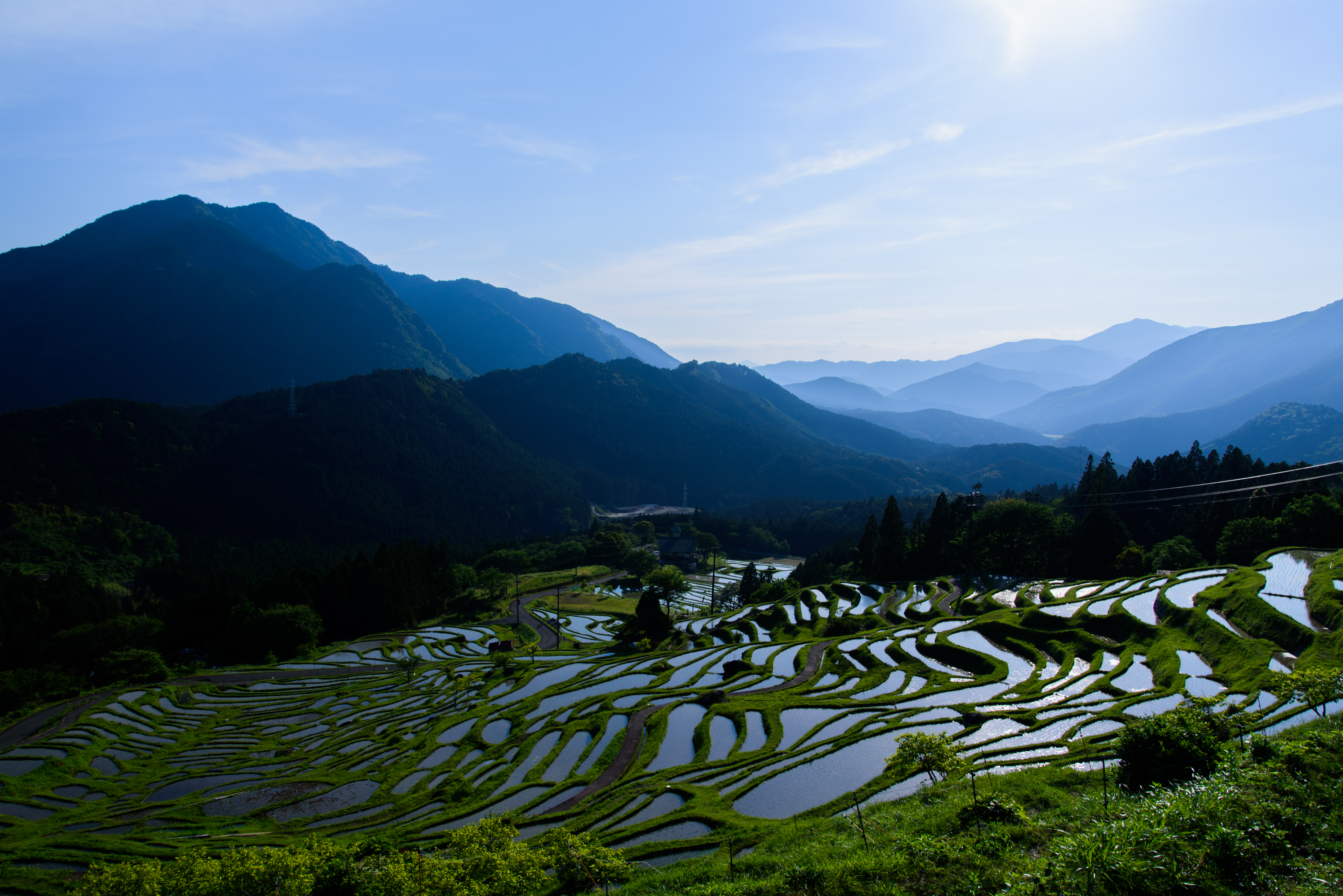
少し離れた展望台からの棚田
一目千枚
丸山千枚田6・Rice Field of Maruyama
おはようございます。南紀地方は快晴!
Rice Terraces of the rainy day

少し下りました
紀伊半島34

Paddling into the beauty of Yoshino-Kumano National Park, Mie, Japan
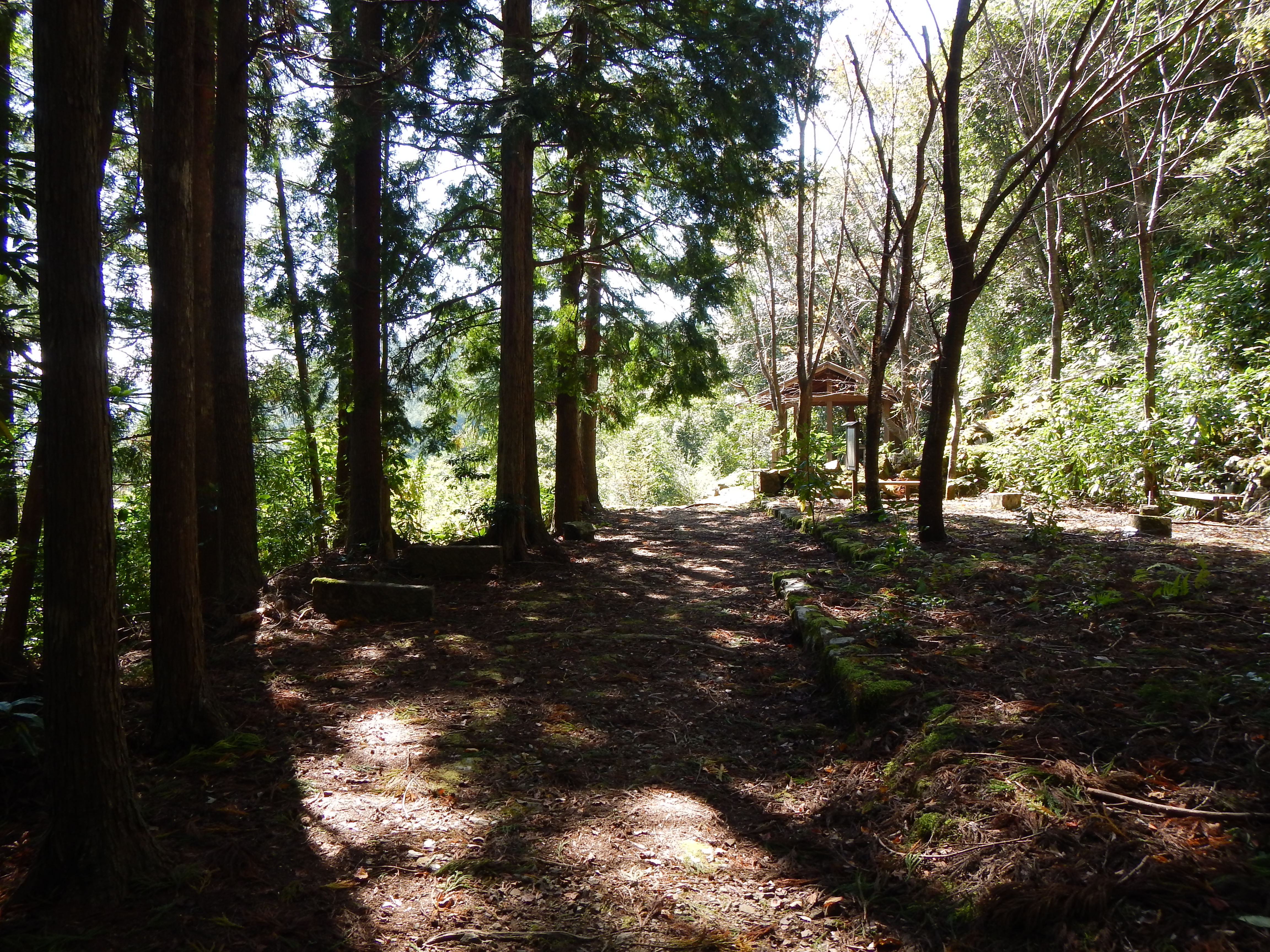
Kumano Kodo Pilgrimage Trails
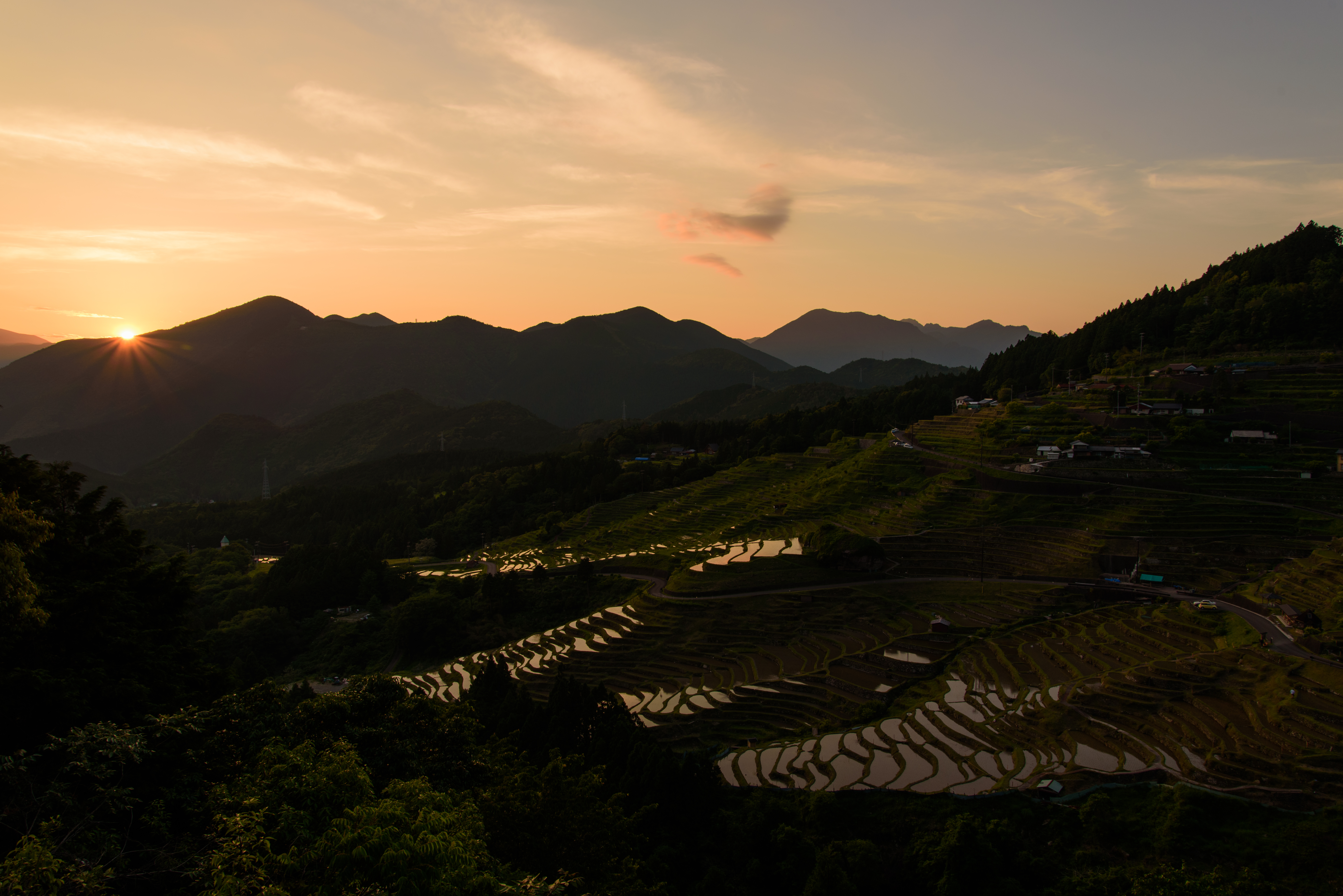
丸山千枚田36・Rice Field of Maruyama

棚田
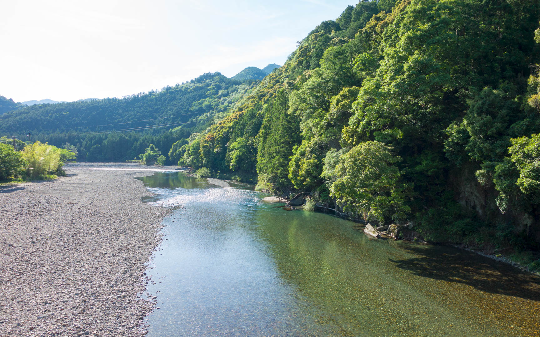
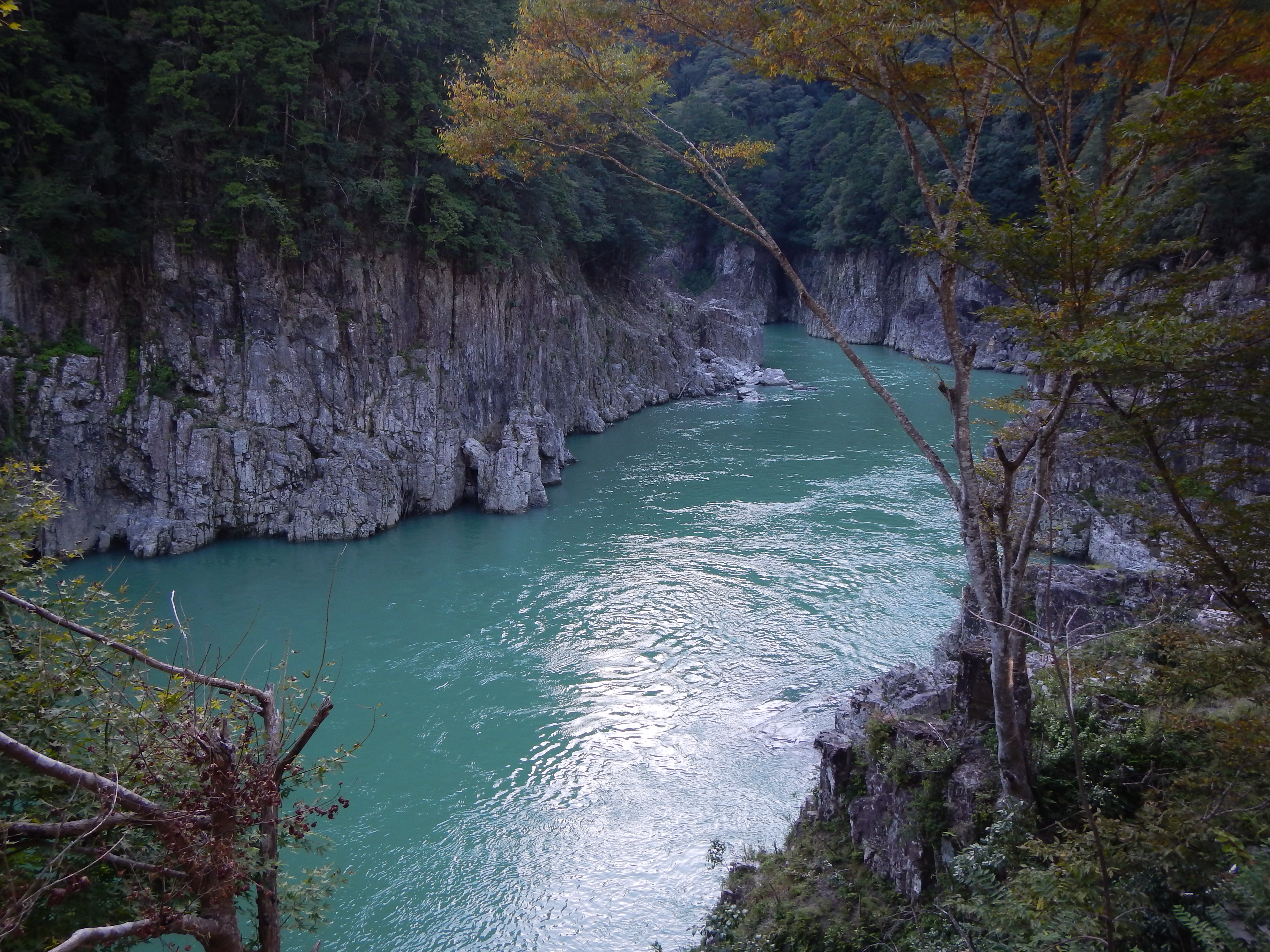
Azure river
kumano kodo
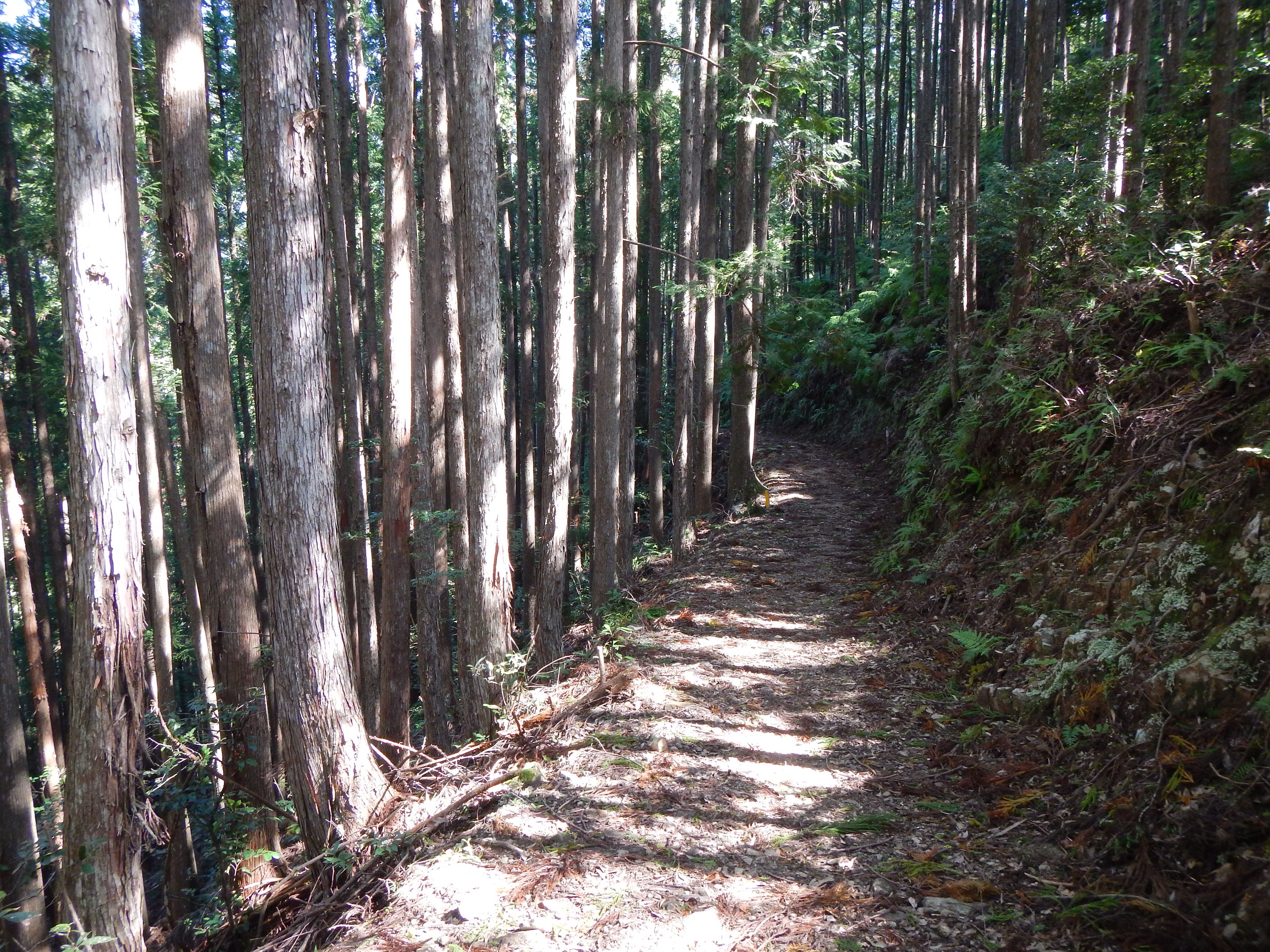
Kumano Kodo Pilgrimage Trails
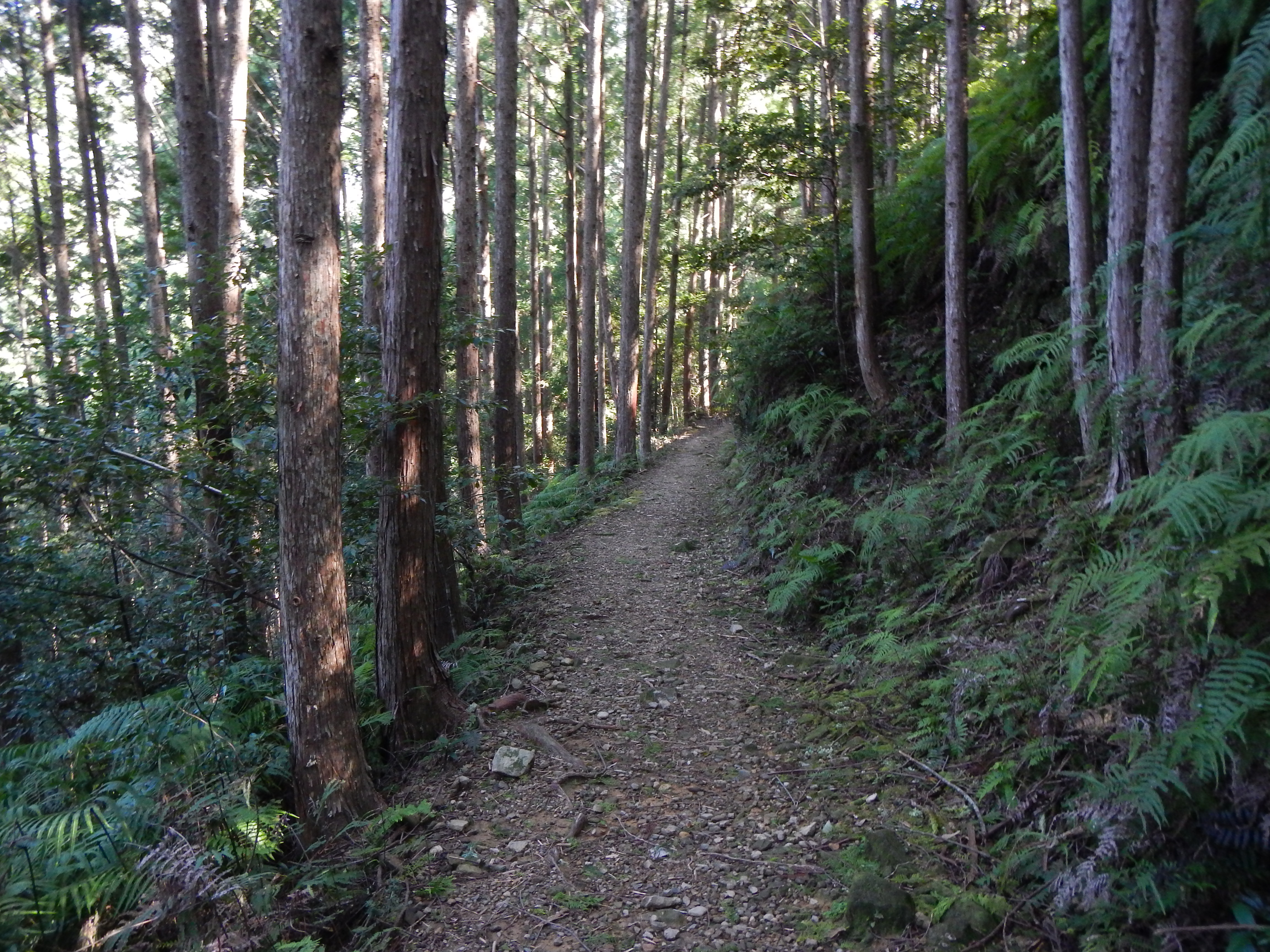
Kumano Kodo Pilgrimage Trails
Topographic Map of Minamimuro District, Mie Prefecture, Japan
Find elevation by address:

Places in Minamimuro District, Mie Prefecture, Japan:
Places near Minamimuro District, Mie Prefecture, Japan:
Sakamatsubara, Kihō-chō, Minamimuro-gun, Mie-ken -, Japan
Atawa, Mihama-chō, Minamimuro-gun, Mie-ken -, Japan
Mihama
Shimoichigi, Mihama-chō, Minamimuro-gun, Mie-ken -, Japan
Kitayama
41 Ōnuma, Kitayama-mura, Higashimuro-gun, Wakayama-ken -, Japan
Kumano
Taketō, Totsukawa-mura, Yoshino-gun, Nara-ken -, Japan
Asukachō Kozaka, Kumano-shi, Mie-ken -, Japan
Kumanogawachō Kaminagai, Shingū-shi, Wakayama-ken -, Japan
86 Kōka, Totsukawa-mura, Yoshino-gun, Nara-ken -, Japan
Tamaigawa, Totsukawa-mura, Yoshino-gun, Nara-ken -, Japan
Isatochō Teradani, Kumano-shi, Mie-ken -, Japan
Atashikachō, Kumano-shi, Mie-ken -, Japan
Kamikuzugawa, Totsukawa-mura, Yoshino-gun, Nara-ken -, Japan
Higashinaka, Totsukawa-mura, Yoshino-gun, Nara-ken -, Japan
Ogawa, Totsukawa-mura, Yoshino-gun, Nara-ken -, Japan
1434 Hongūchō Kawayu
219 Hongūchō Hongū
田辺市本宮行政局
Recent Searches:
- Elevation of Tenjo, Cundinamarca, Colombia
- Elevation of Côte-des-Neiges, Montreal, QC H4A 3J6, Canada
- Elevation of Bobcat Dr, Helena, MT, USA
- Elevation of Zu den Ihlowbergen, Althüttendorf, Germany
- Elevation of Badaber, Peshawar, Khyber Pakhtunkhwa, Pakistan
- Elevation of SE Heron Loop, Lincoln City, OR, USA
- Elevation of Slanický ostrov, 01 Námestovo, Slovakia
- Elevation of Spaceport America, Co Rd A, Truth or Consequences, NM, USA
- Elevation of Warwick, RI, USA
- Elevation of Fern Rd, Whitmore, CA, USA