Elevation of Minamiaizu, Minamiaizu District, Fukushima Prefecture, Japan
Location: Japan > Fukushima Prefecture > Minamiaizu District >
Longitude: 139.773198
Latitude: 37.2003948
Elevation: 557m / 1827feet
Barometric Pressure: 95KPa
Elevation Map:
Satellite Map:
Related Photos:
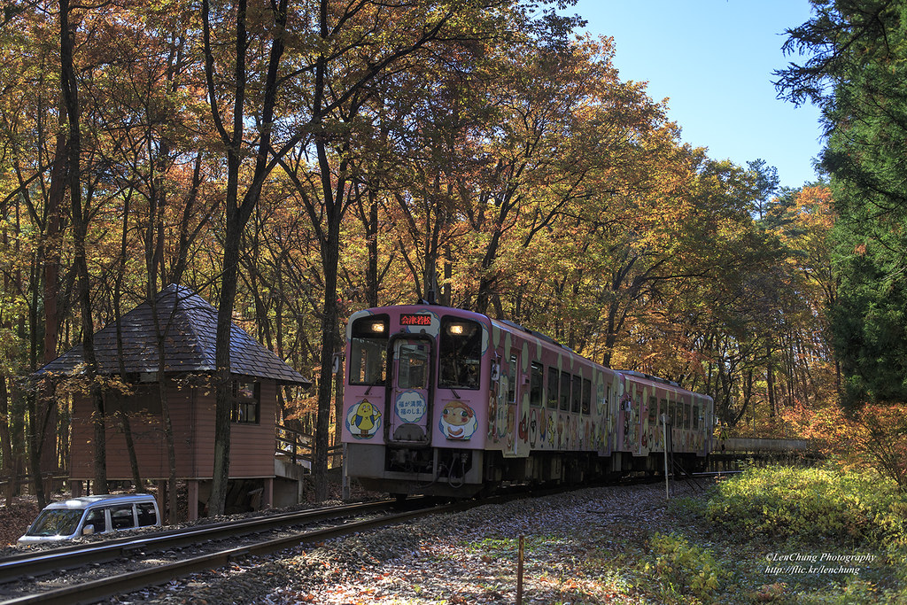
塔のへつり駅。会津線。福島 Shimogo, Fukushima, Japan _IMG_0635
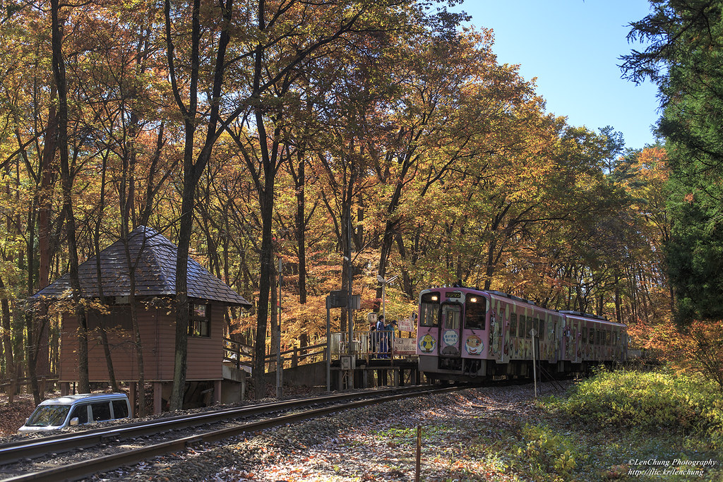
塔のへつり駅。会津線。福島 Shimogo, Fukushima, Japan _IMG_0624
塔の岪。塔のへつり。下郷町。福島県。 Shimogo, Fukushima, Japan _IMG_0593
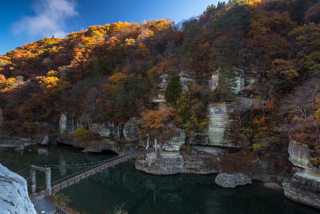
塔の岪。塔のへつり。下郷町。福島県。 Shimogo, Fukushima, Japan _IMG_0544
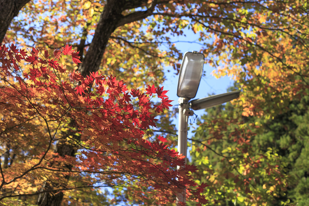
秋的色彩 Autumn colors _IMG_0652

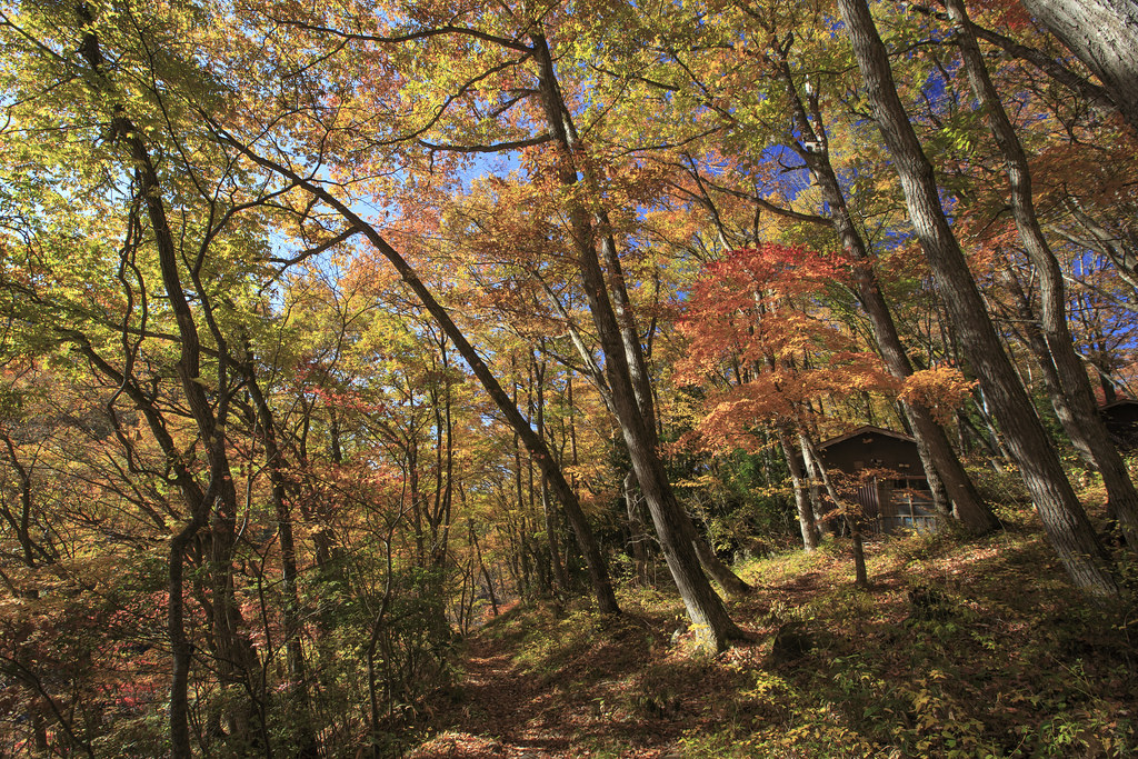
Shimogo View

Admiring nature's form - volcanic river gorge in Minami Aizu, Japan

Mossy lantern in forest
観音沼

観音沼の紅葉

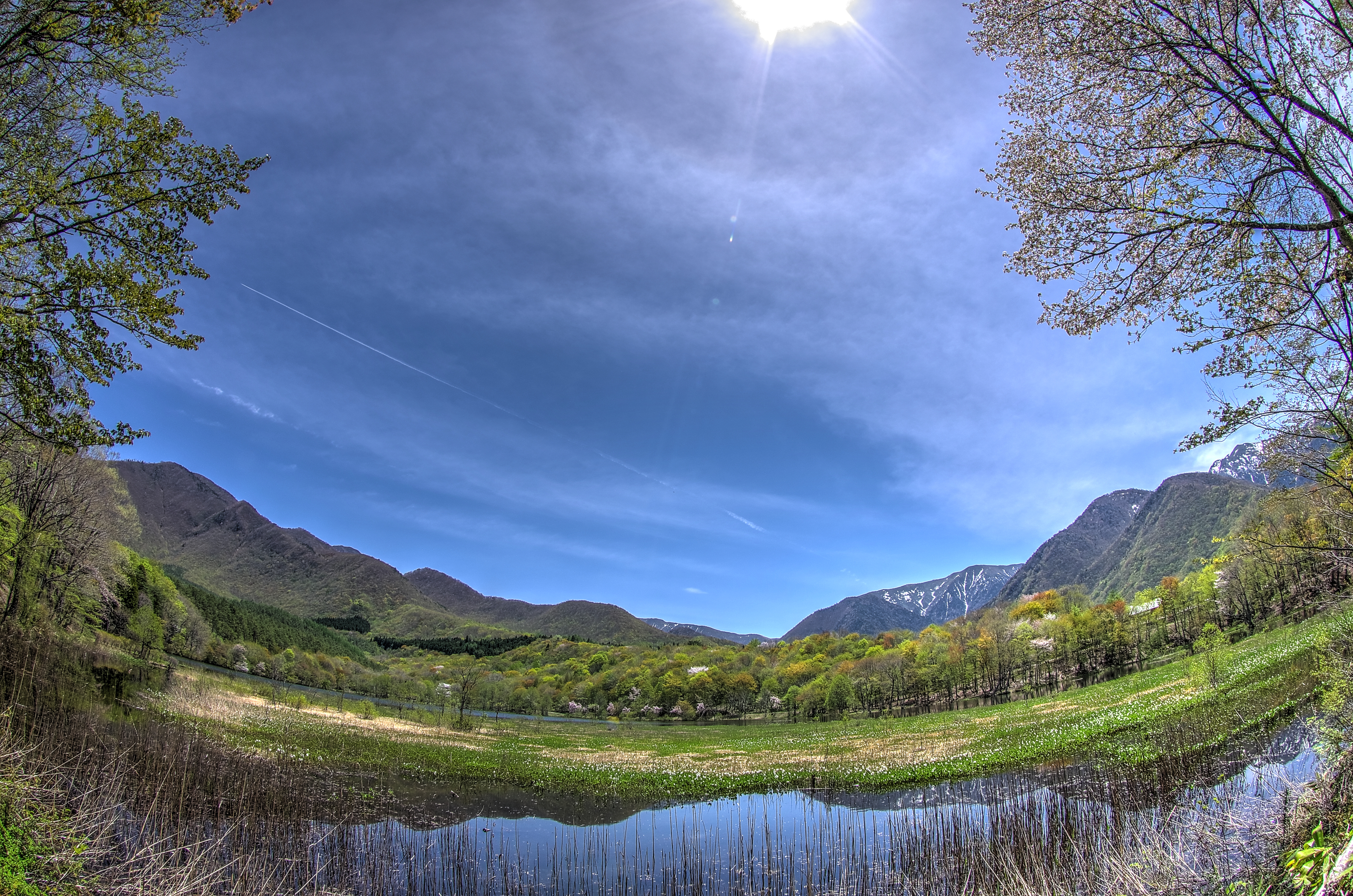
Mountain stream becoming a mirror river, Tohoku, Japan

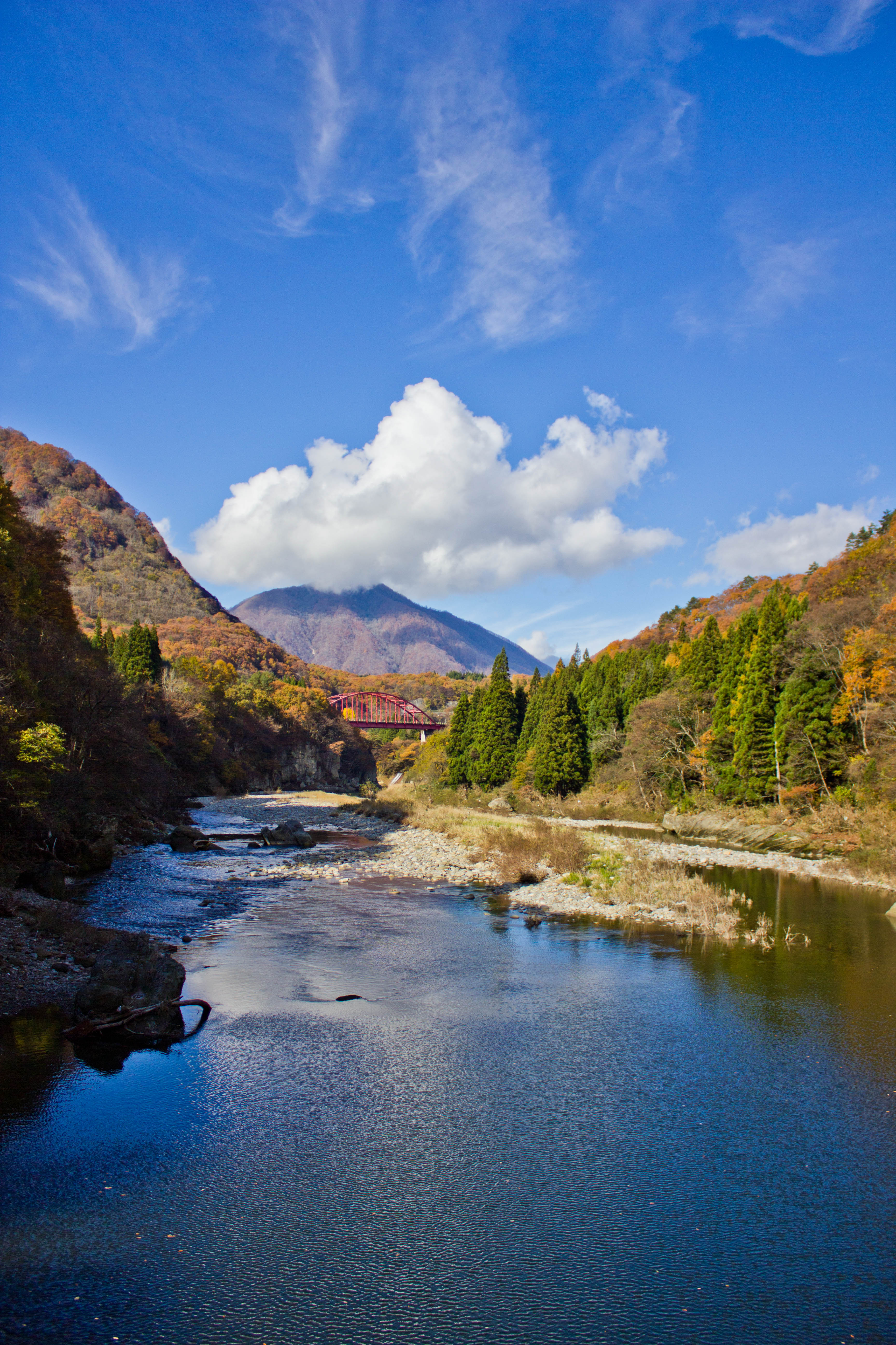
Bridge over lush river gorge, North Japan

Volcanic gorge shaped by ancient nature, North Japan
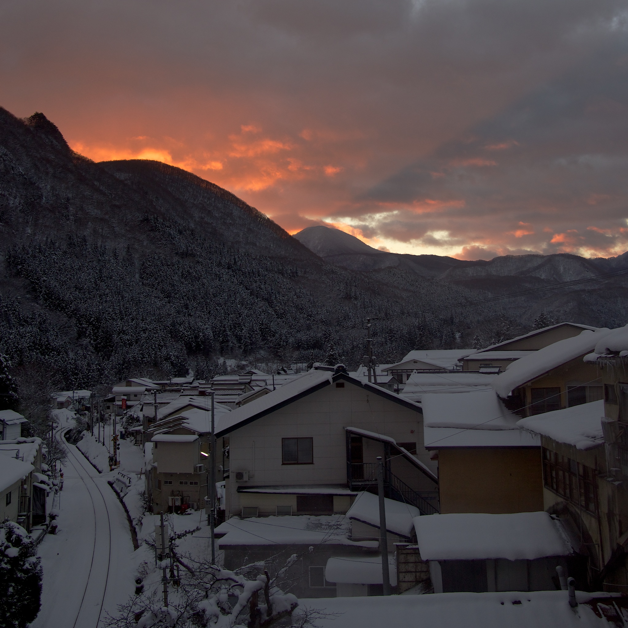
After the nighttime snow
Winter Vista
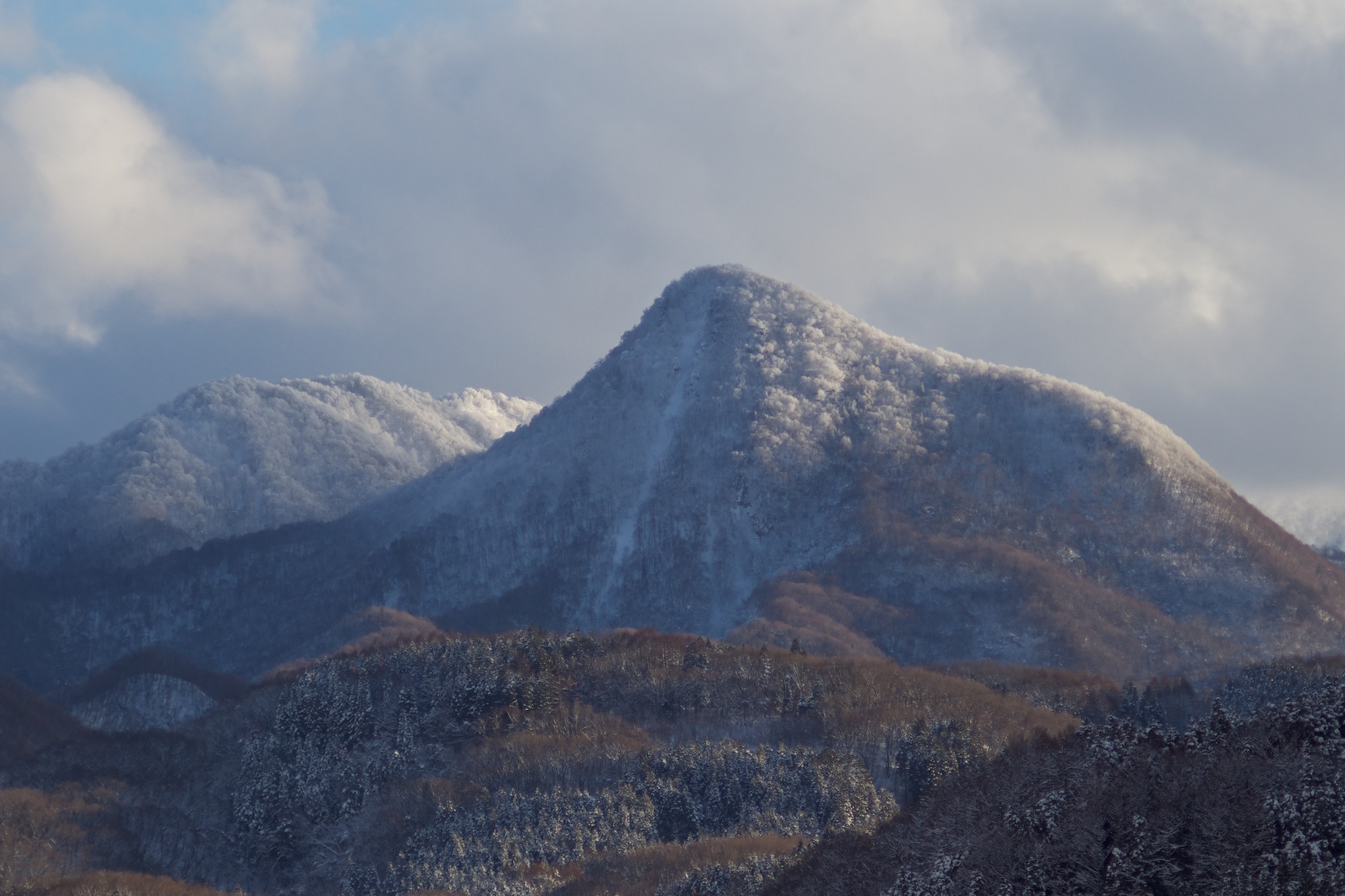
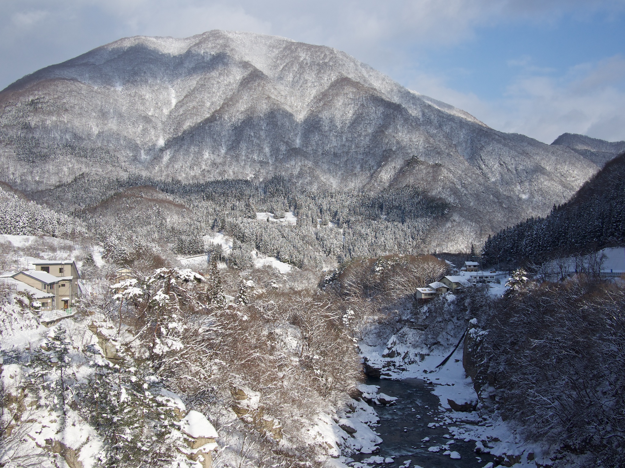
Winter Mountains
水鏡 / The surface of the water like a mirror
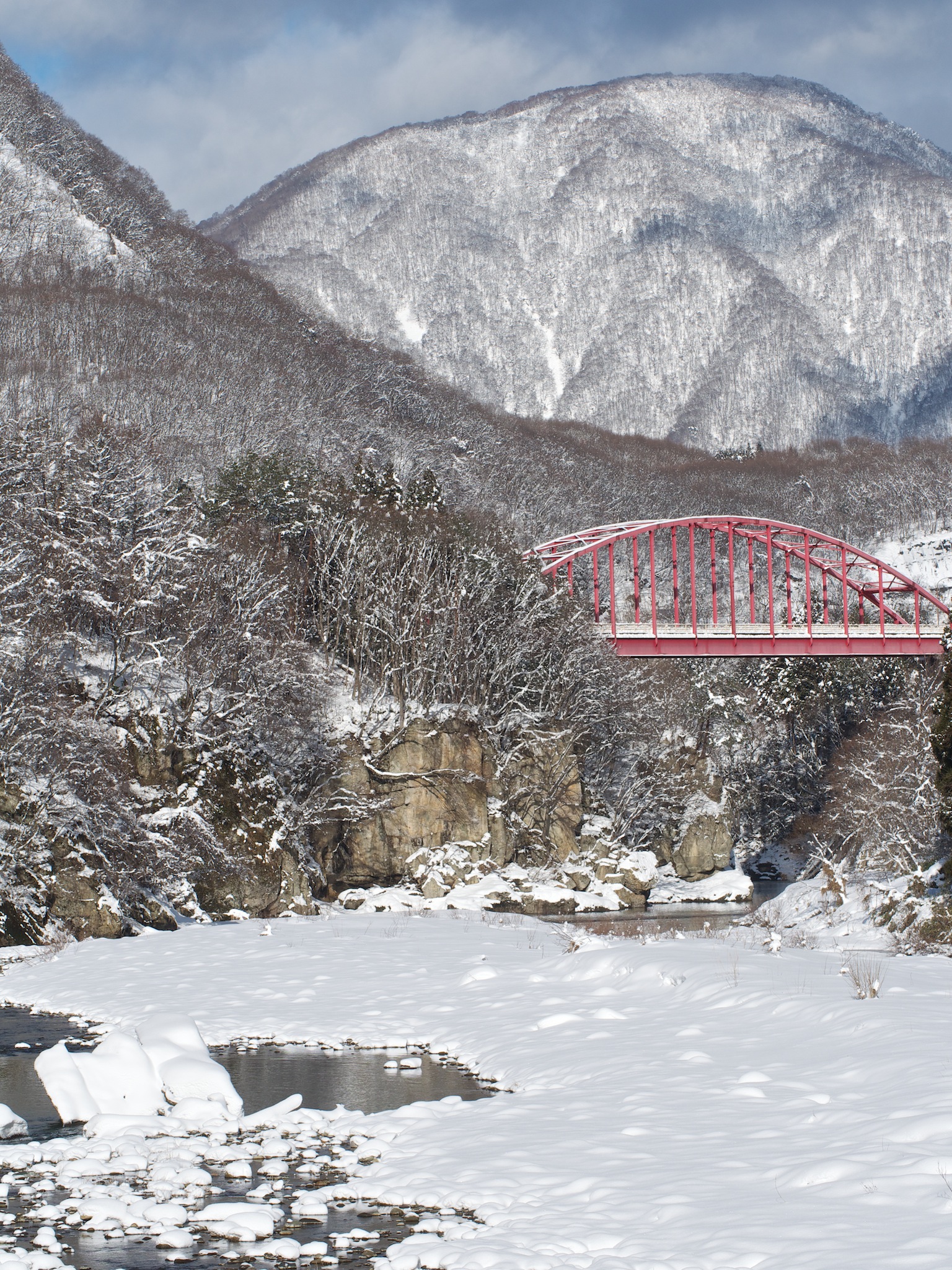
Red Bridge in Morning
Tou no Hetsuri, Fukushima
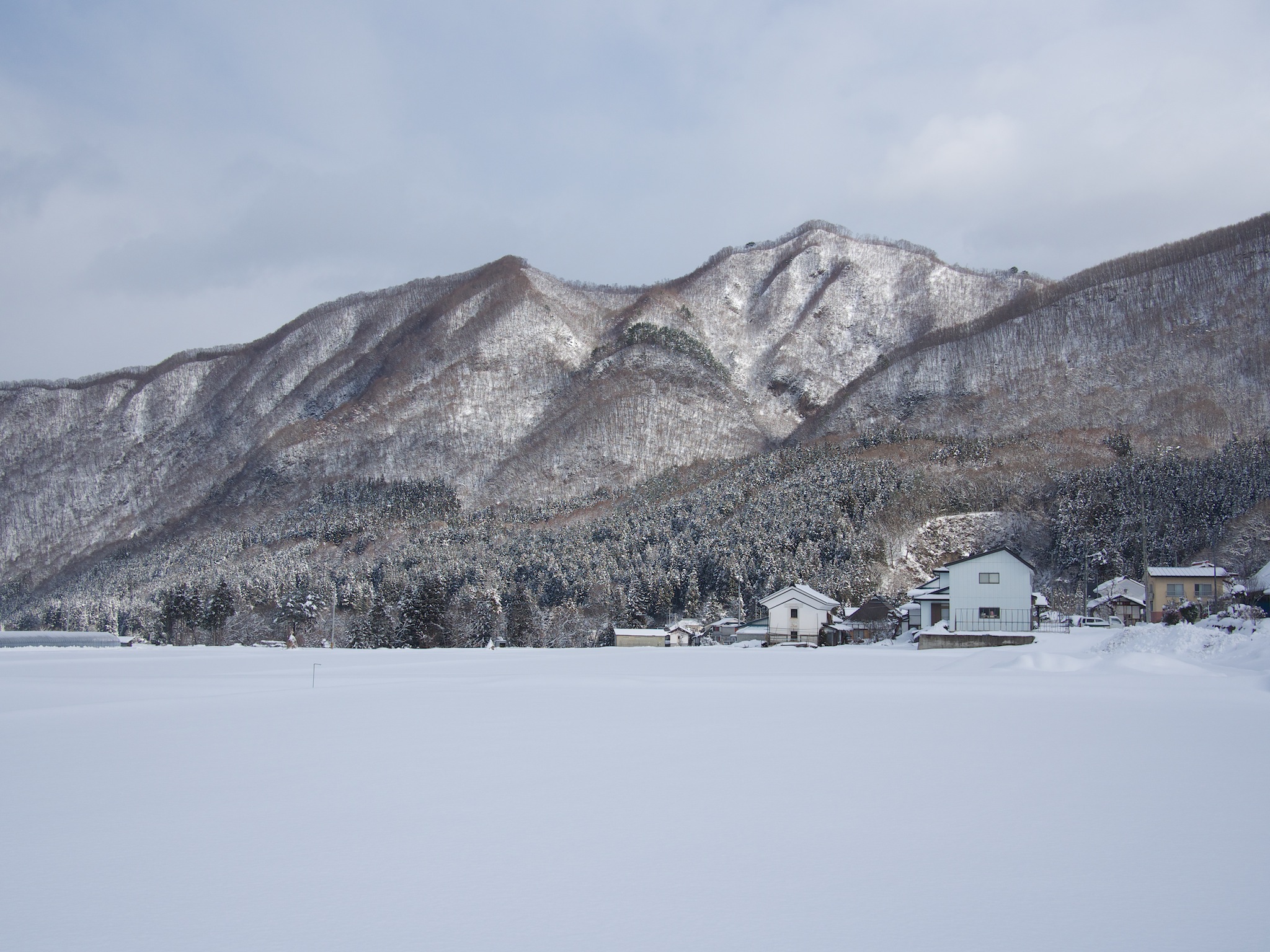
Mountain Shadow
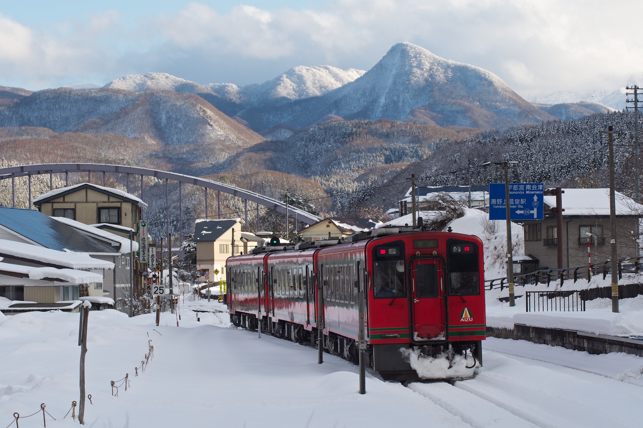
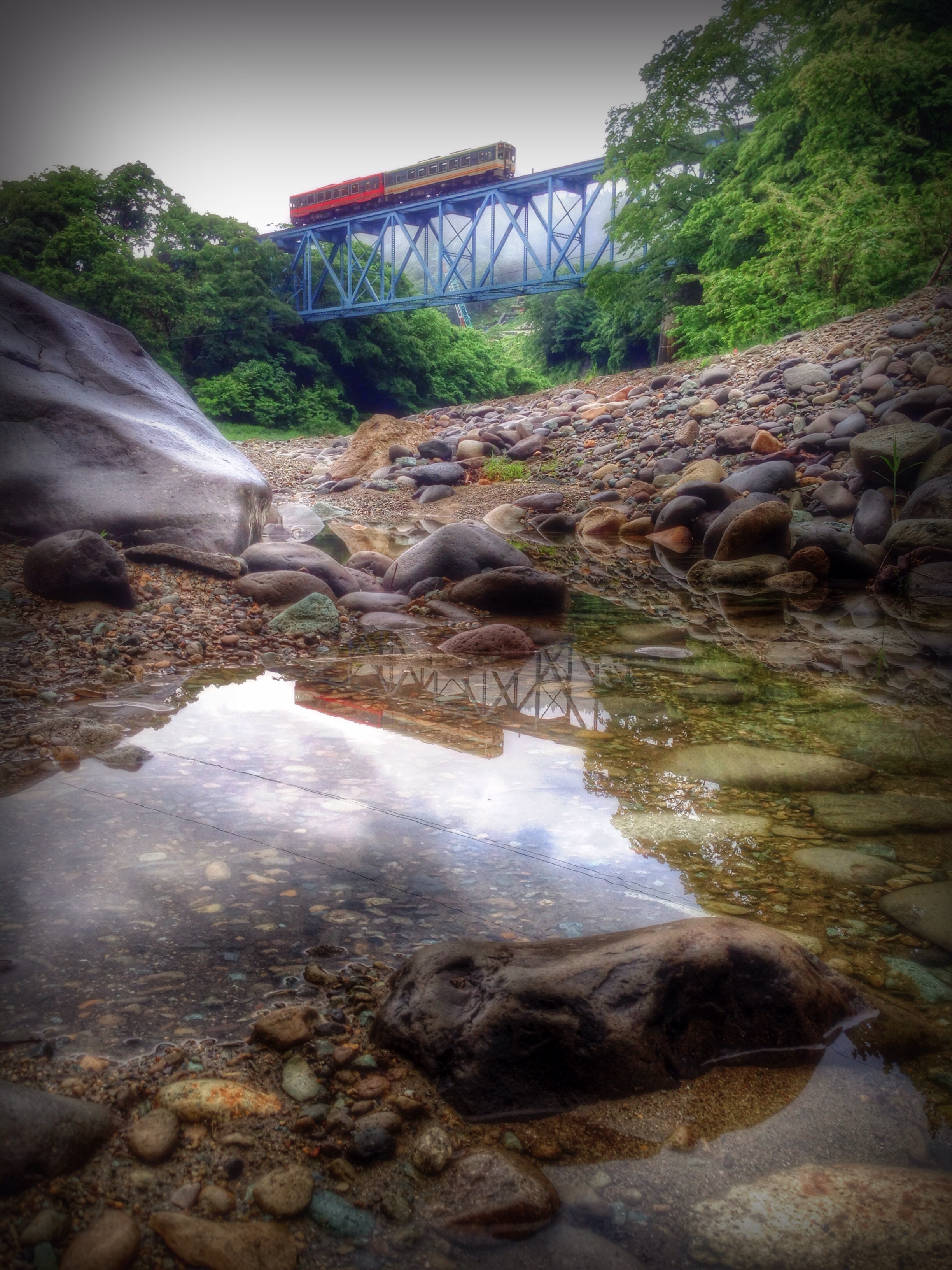
Aizu Line
Topographic Map of Minamiaizu, Minamiaizu District, Fukushima Prefecture, Japan
Find elevation by address:

Places in Minamiaizu, Minamiaizu District, Fukushima Prefecture, Japan:
Takatsuehara
Yunohana, Minamiaizu-machi, Minamiaizu-gun, Fukushima-ken -, Japan
Miyanomoto- Miyasato, Minamiaizu-machi, Minamiaizu-gun, Fukushima-ken -, Japan
Places near Minamiaizu, Minamiaizu District, Fukushima Prefecture, Japan:
Shimogo
Ōishi- Shionō, Shimogō-machi, Minamiaizu-gun, Fukushima-ken -, Japan
Mt. Nanatsugatake
Yokokawa, Nikkō-shi, Tochigi-ken -, Japan
Ouchi-juku
Ōmukai- Ōashi, Shōwa-mura, Ōnuma-gun, Fukushima-ken -, Japan
447 Takatsuehara
Mt. Asahi
Takatsuehara
Mount Nasu
Showa
Idaira- Imogoya, Yanaizu-machi, Kawanuma-gun, Fukushima-ken -, Japan
乙17
Shiobara
Shimokawauchi-1-16 Yumoto, Tenei-mura, Iwase-gun, Fukushima-ken -, Japan
Yugū, Nasushiobara-shi, Tochigi-ken -, Japan
Yumoto
Idaira- Sunakohara, Yanaizu-machi, Kawanuma-gun, Fukushima-ken -, Japan
Aizumisato
Yunohana, Minamiaizu-machi, Minamiaizu-gun, Fukushima-ken -, Japan
Recent Searches:
- Elevation of Corso Fratelli Cairoli, 35, Macerata MC, Italy
- Elevation of Tallevast Rd, Sarasota, FL, USA
- Elevation of 4th St E, Sonoma, CA, USA
- Elevation of Black Hollow Rd, Pennsdale, PA, USA
- Elevation of Oakland Ave, Williamsport, PA, USA
- Elevation of Pedrógão Grande, Portugal
- Elevation of Klee Dr, Martinsburg, WV, USA
- Elevation of Via Roma, Pieranica CR, Italy
- Elevation of Tavkvetili Mountain, Georgia
- Elevation of Hartfords Bluff Cir, Mt Pleasant, SC, USA