Elevation of Milo, IA, USA
Location: United States > Iowa > Delaware County >
Longitude: -91.404824
Latitude: 42.424585
Elevation: 299m / 981feet
Barometric Pressure: 98KPa
Elevation Map:
Satellite Map:
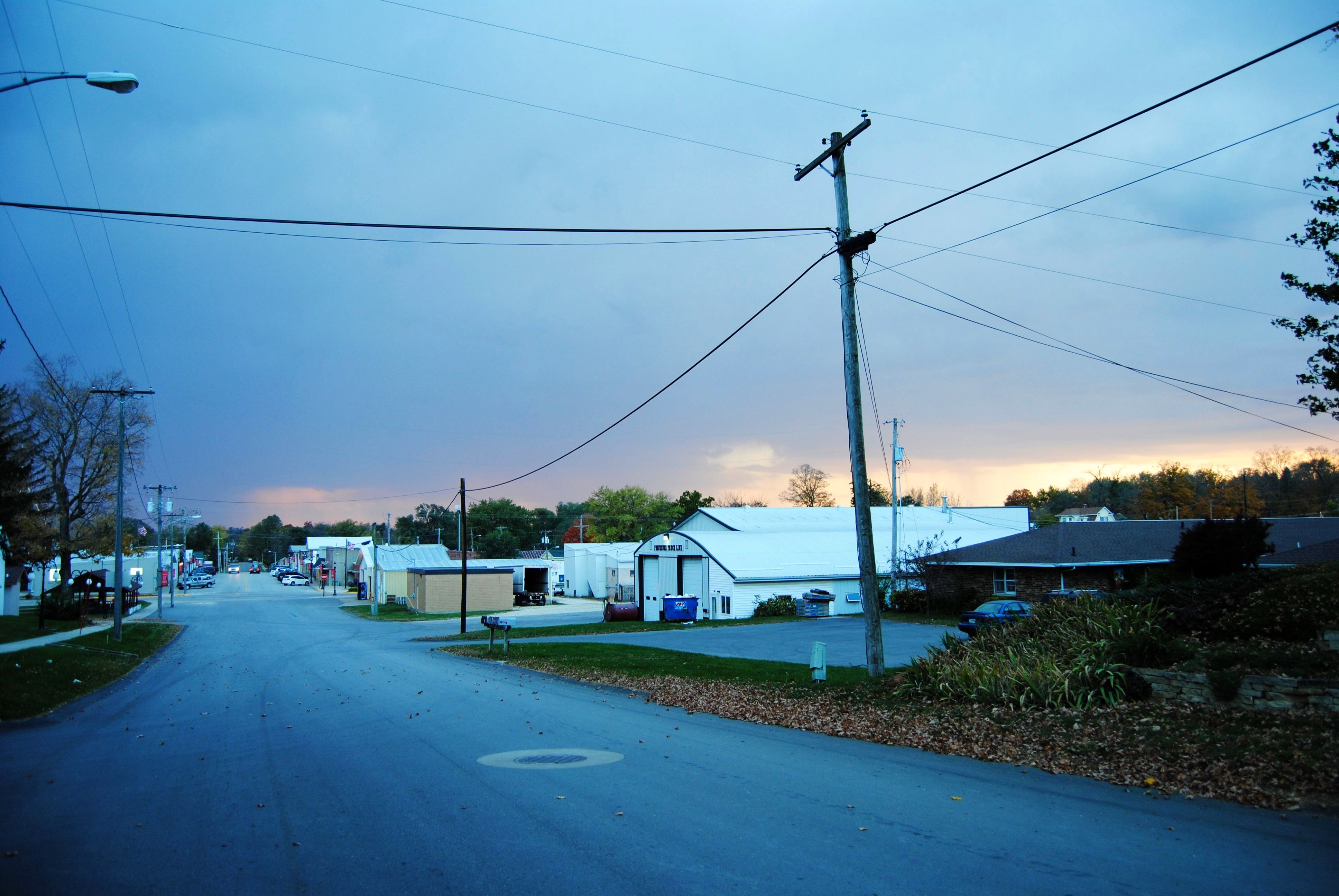
Related Photos:
life.life.life.

John Deere Harvesting soybeans
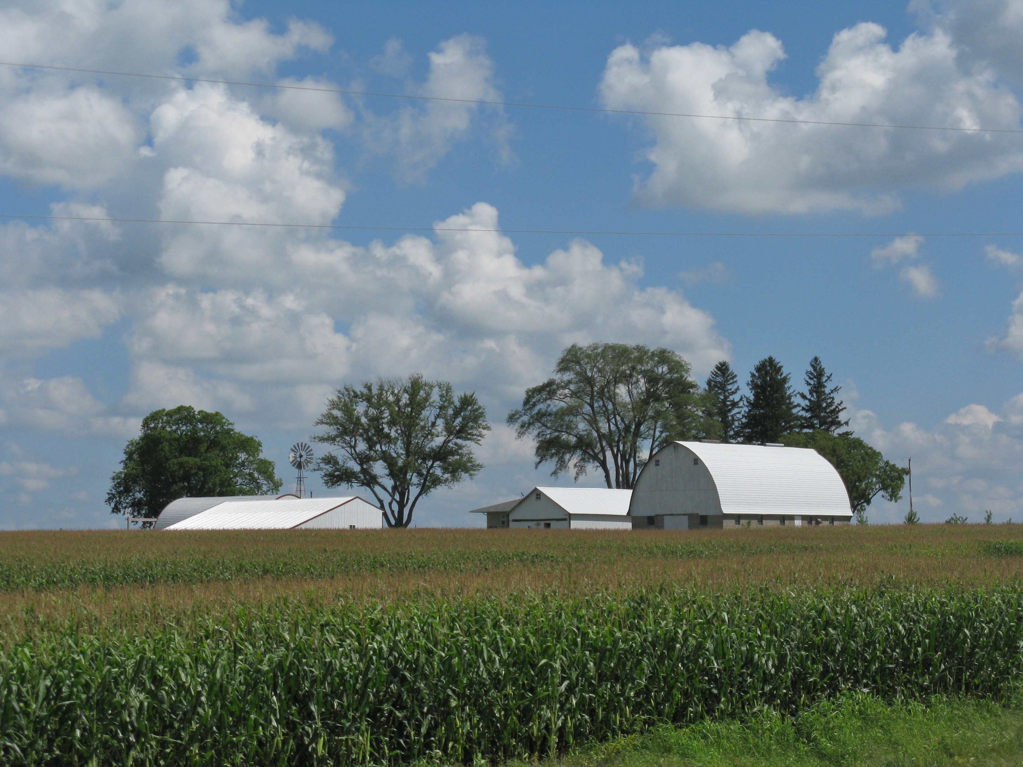
Corn Field
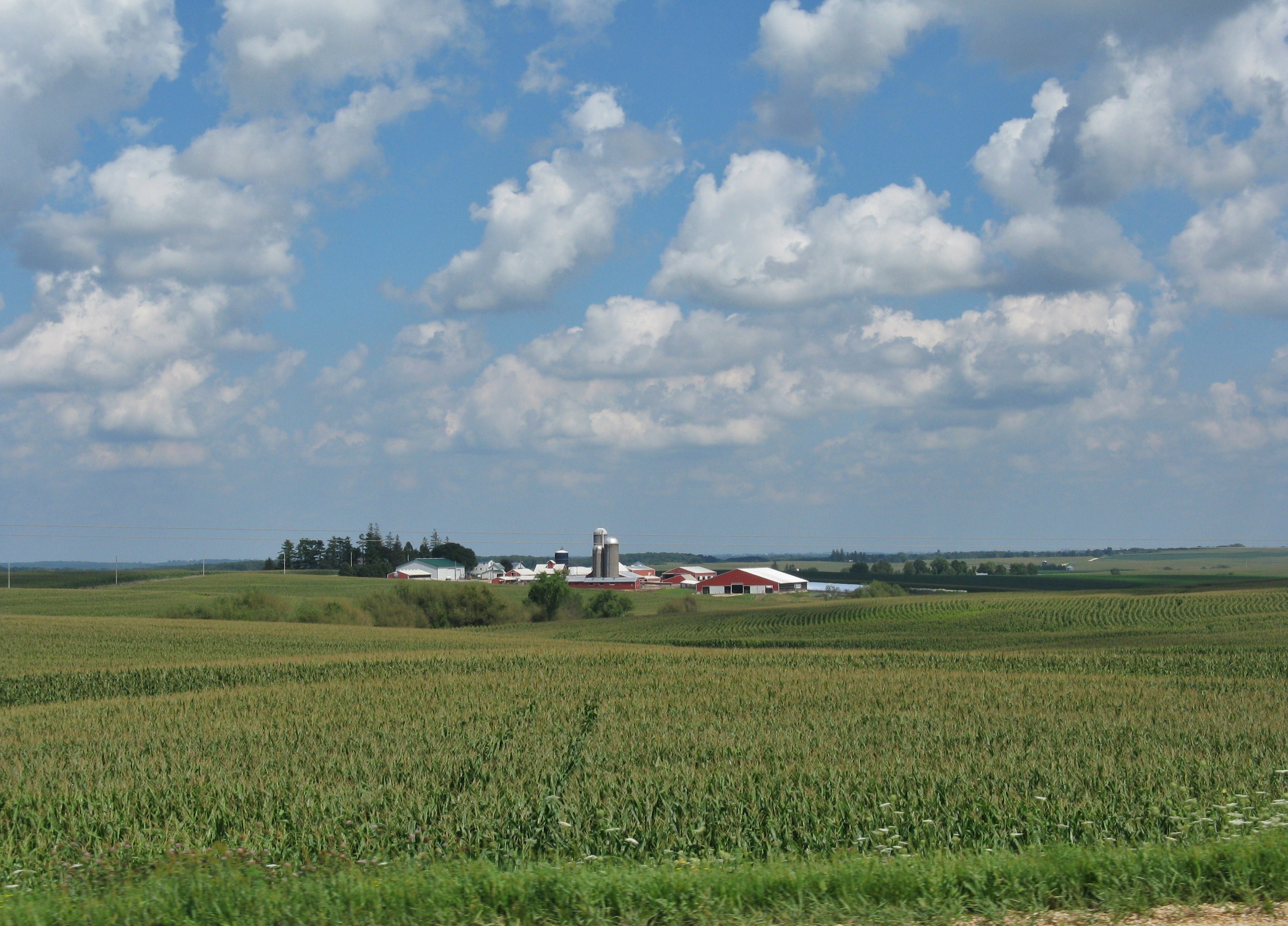
Corn Field
IMG_1652.JPG

Modern Farming 2016 Corn Harvest is underway
CN Local arriving in Manchester, IA

Classic IH 1566
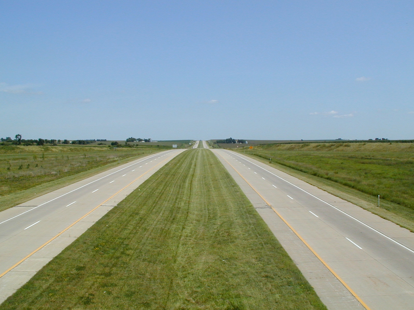
US 20 Iowa 5
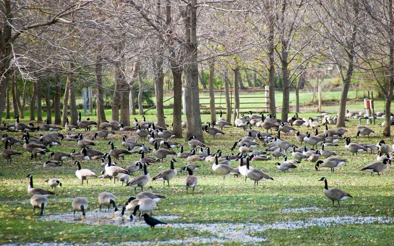
Manchester Iowa duck preserve

img_2163.jpg

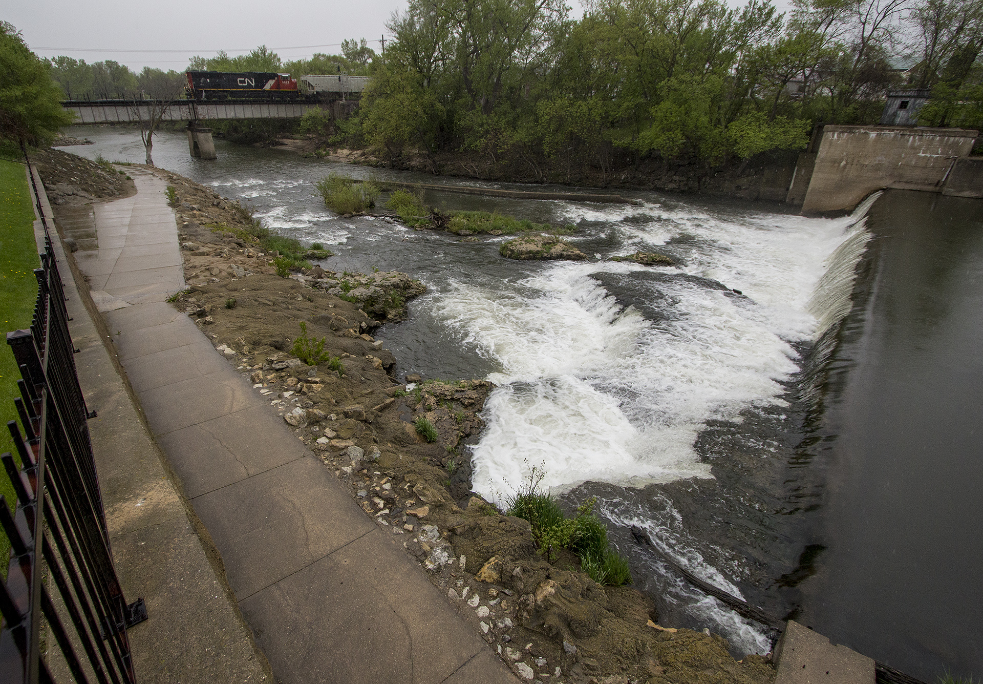
Manchester White Water Park

Manchester White Water Park
Topographic Map of Milo, IA, USA
Find elevation by address:

Places near Milo, IA, USA:
th St, Manchester, IA, USA
Oneida
th St, Earlville, IA, USA
Co Rd X31, Monticello, IA, USA
Edgewood
E Union St, Edgewood, IA, USA
18404 Hickory Grove Rd
843 Deer Run Dr
Lovell
Worthington
E 1st St, Monticello, IA, USA
Monticello
2nd St W, Worthington, IA, USA
Dyersville
Dodge
Cascade
New Wine
Pape Rd, Farley, IA, USA
28995 Lansing Rd
Clayton County
Recent Searches:
- Elevation of Congressional Dr, Stevensville, MD, USA
- Elevation of Bellview Rd, McLean, VA, USA
- Elevation of Stage Island Rd, Chatham, MA, USA
- Elevation of Shibuya Scramble Crossing, 21 Udagawacho, Shibuya City, Tokyo -, Japan
- Elevation of Jadagoniai, Kaunas District Municipality, Lithuania
- Elevation of Pagonija rock, Kranto 7-oji g. 8"N, Kaunas, Lithuania
- Elevation of Co Rd 87, Jamestown, CO, USA
- Elevation of Tenjo, Cundinamarca, Colombia
- Elevation of Côte-des-Neiges, Montreal, QC H4A 3J6, Canada
- Elevation of Bobcat Dr, Helena, MT, USA