Elevation of Milligan Mountain, New Mexico, USA
Location: United States > New Mexico > Reserve >
Longitude: -108.6497837
Latitude: 33.6792228
Elevation: 2526m / 8287feet
Barometric Pressure: 0KPa
Related Photos:

Apache Creek Rainbow, NM
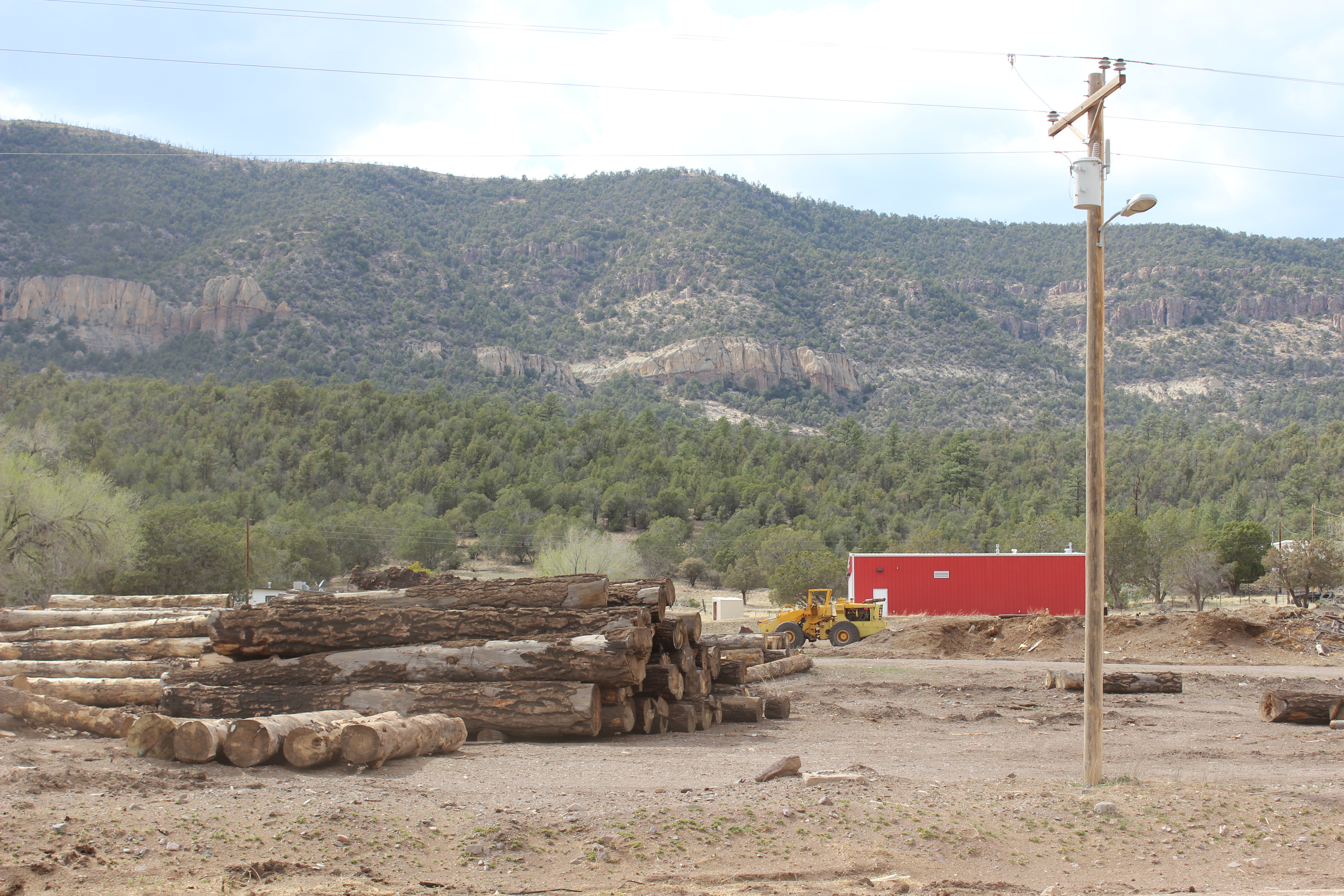
K & B Timberworks, April 22, 2014
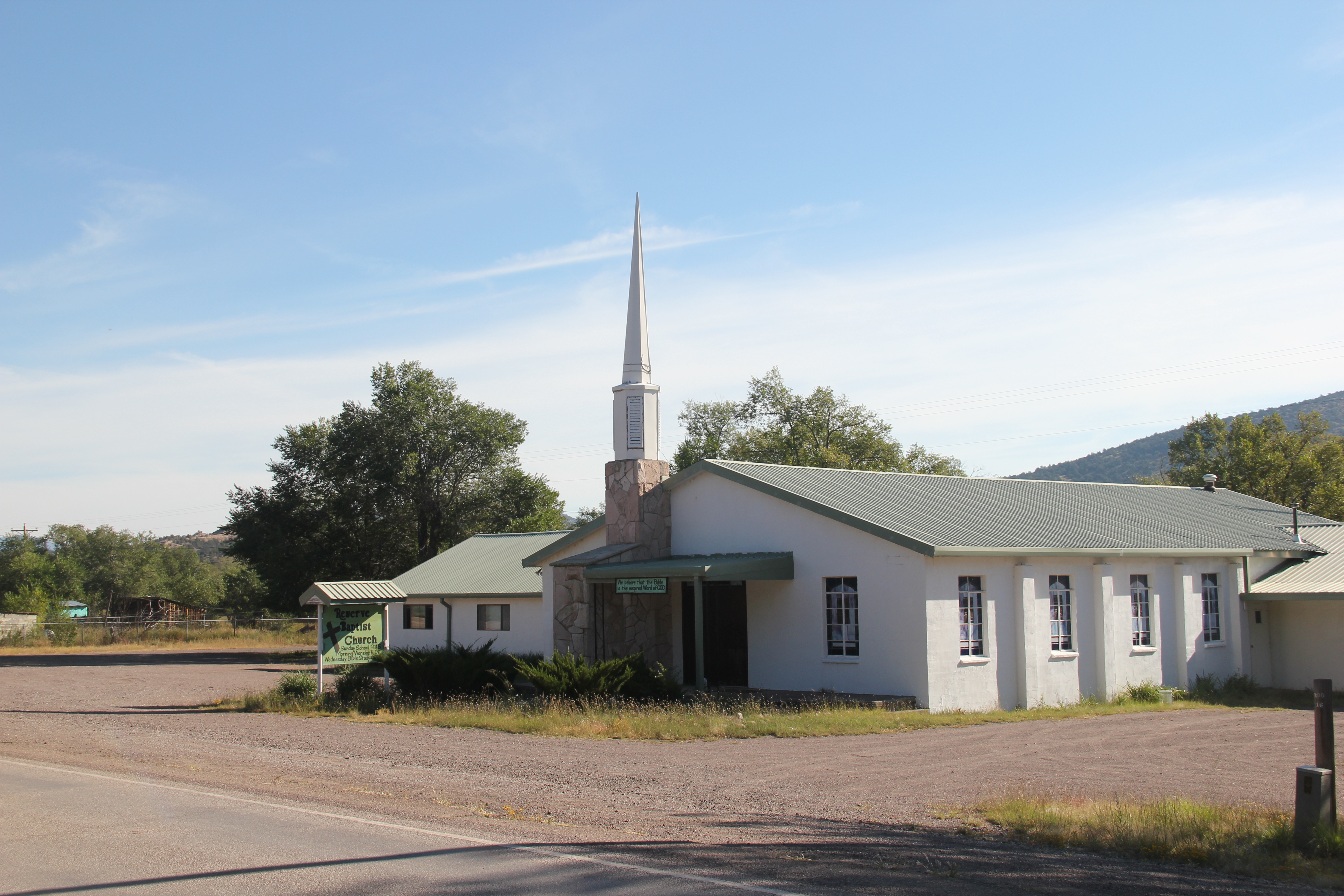
Reserve Baptist Church, Reserve, NM
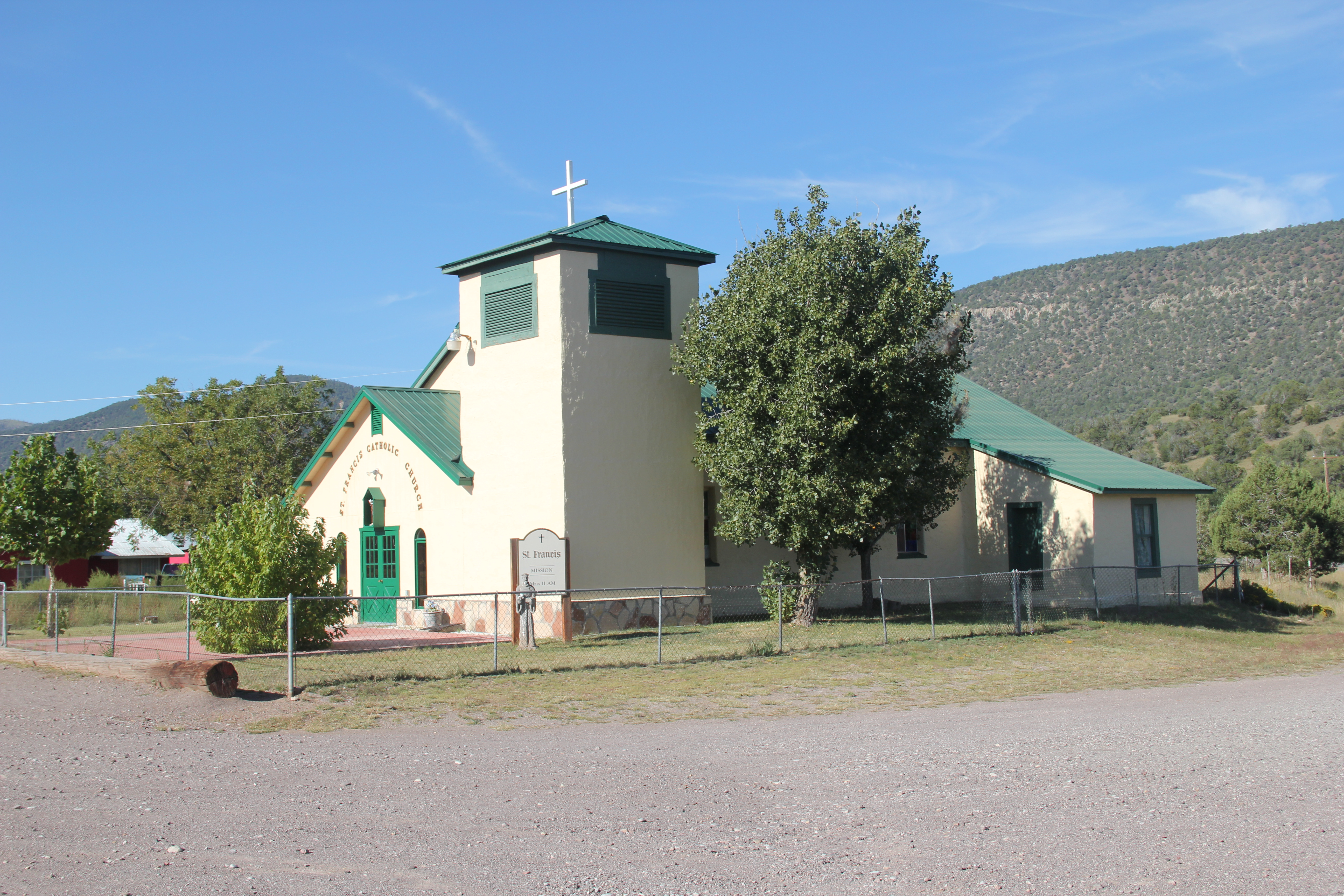
St Francis Catholic Church, Middle Frisco, NM
Topographic Map of Milligan Mountain, New Mexico, USA
Find elevation by address:

Places near Milligan Mountain, New Mexico, USA:
Eagle Peak
Buzzard Peak
Willow Spring Mountain
Sheep Basin Divide
196 Nm-435
Reserve
Sign Camp Mountain
Pinon Knob
Mogollon Divide
Gila National Forest
Saliz Mountains Hp
Deep Creek Divide
Lost Lake Mountain
Prairie Peak
Cottonwood Campground
Elk Mountain
Dipping Vat Campground
Silver Peak
Salvation Peak
Fannie Hill
Recent Searches:
- Elevation map of Greenland, Greenland
- Elevation of Sullivan Hill, New York, New York, 10002, USA
- Elevation of Morehead Road, Withrow Downs, Charlotte, Mecklenburg County, North Carolina, 28262, USA
- Elevation of 2800, Morehead Road, Withrow Downs, Charlotte, Mecklenburg County, North Carolina, 28262, USA
- Elevation of Yangbi Yi Autonomous County, Yunnan, China
- Elevation of Pingpo, Yangbi Yi Autonomous County, Yunnan, China
- Elevation of Mount Malong, Pingpo, Yangbi Yi Autonomous County, Yunnan, China
- Elevation map of Yongping County, Yunnan, China
- Elevation of North 8th Street, Palatka, Putnam County, Florida, 32177, USA
- Elevation of 107, Big Apple Road, East Palatka, Putnam County, Florida, 32131, USA
- Elevation of Jiezi, Chongzhou City, Sichuan, China
- Elevation of Chongzhou City, Sichuan, China
- Elevation of Huaiyuan, Chongzhou City, Sichuan, China
- Elevation of Qingxia, Chengdu, Sichuan, China
- Elevation of Corso Fratelli Cairoli, 35, Macerata MC, Italy
- Elevation of Tallevast Rd, Sarasota, FL, USA
- Elevation of 4th St E, Sonoma, CA, USA
- Elevation of Black Hollow Rd, Pennsdale, PA, USA
- Elevation of Oakland Ave, Williamsport, PA, USA
- Elevation of Pedrógão Grande, Portugal