Elevation of Mililani, HI, USA
Location: United States > Hawaii > Honolulu County > Mililani >
Longitude: -158.01198
Latitude: 21.4744178
Elevation: 238m / 781feet
Barometric Pressure: 98KPa
Elevation Map:
Satellite Map:
Related Photos:

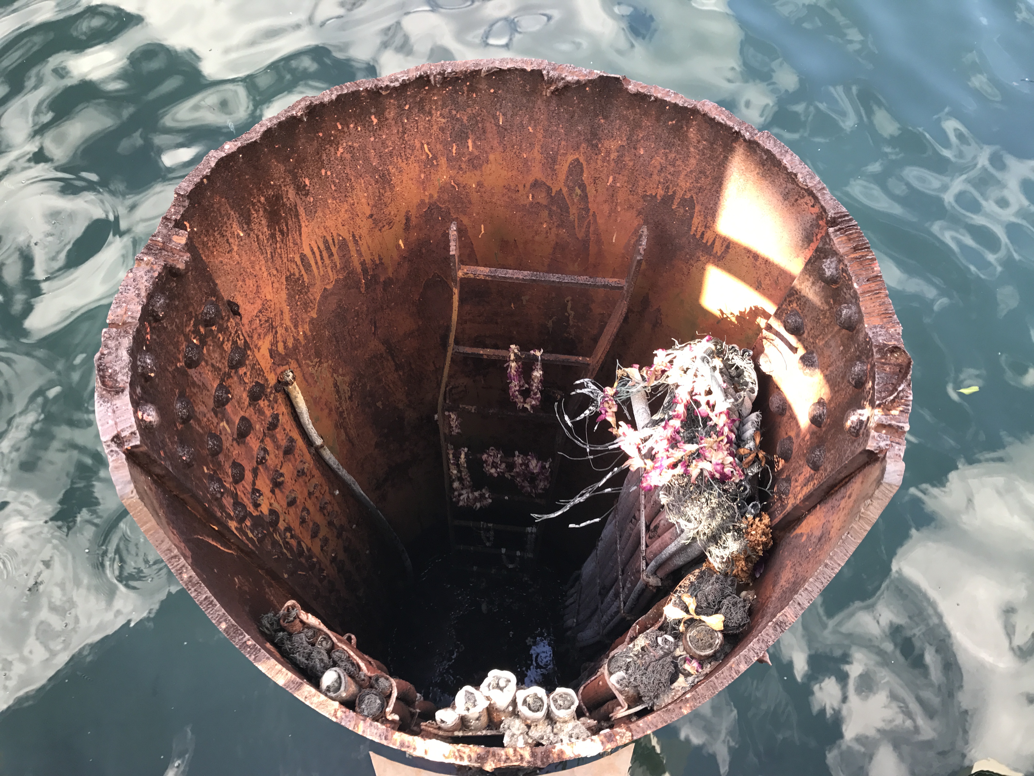
USS Arizona Memorial
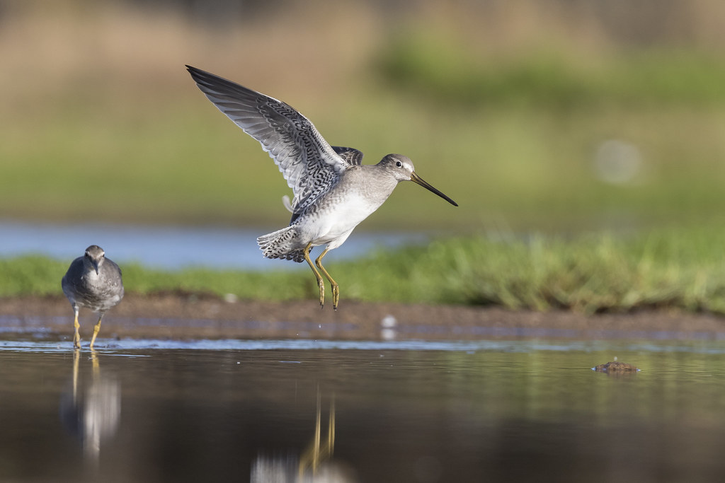
Long-billed Dowitcher (Limnodromus scolopaceus) & Wandering Tattler (Tringa incana)
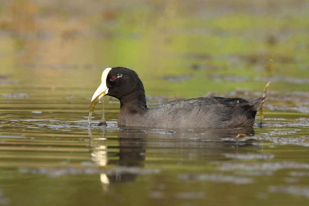
Hawaiian Coot / 'Alae Ke'oke'o (Fulica alai)
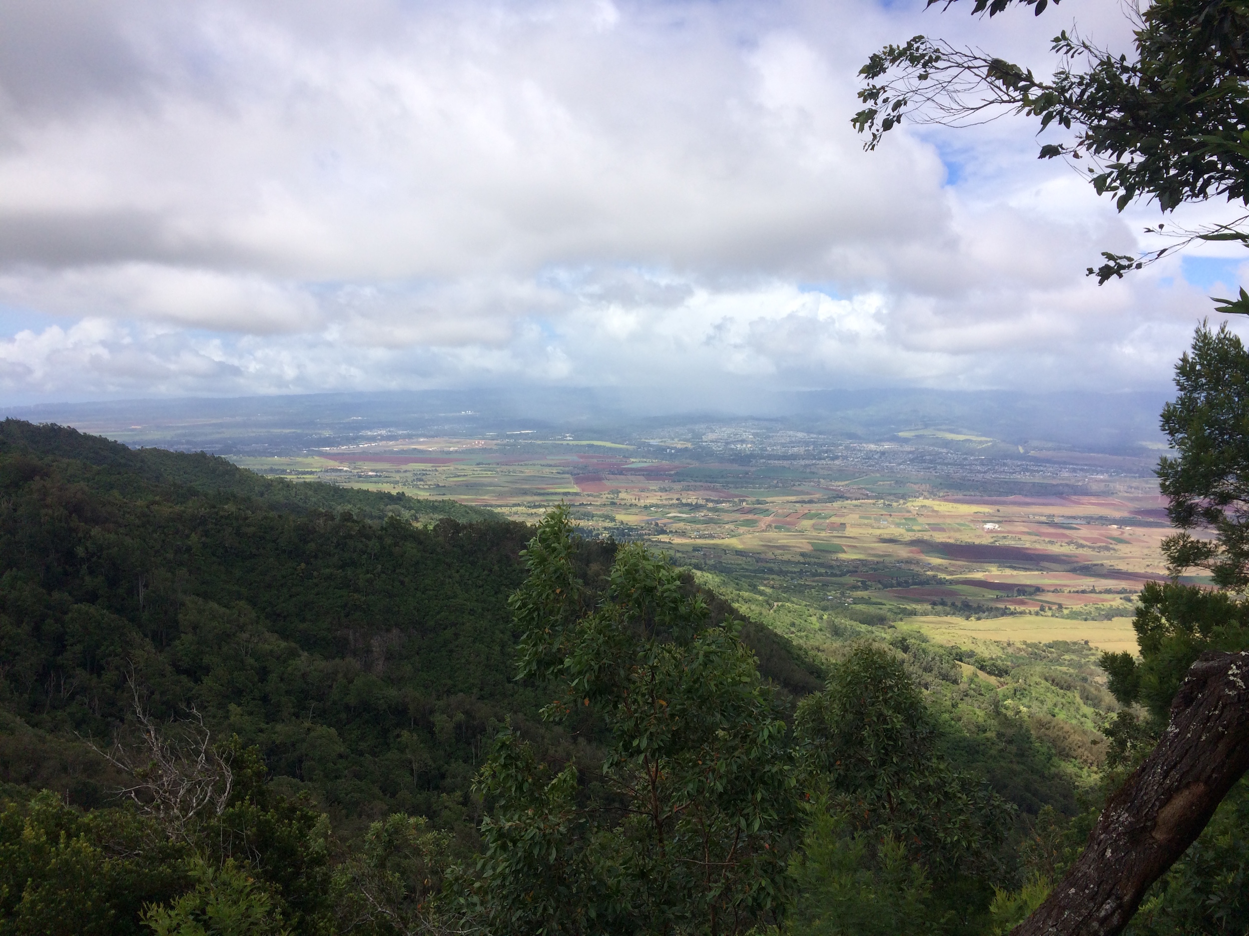
PFX-HWMO Palehua Wildfire Mitigation Planning Workshop_7_17_17_56_View of central Oahu from atop Mauna Kapu
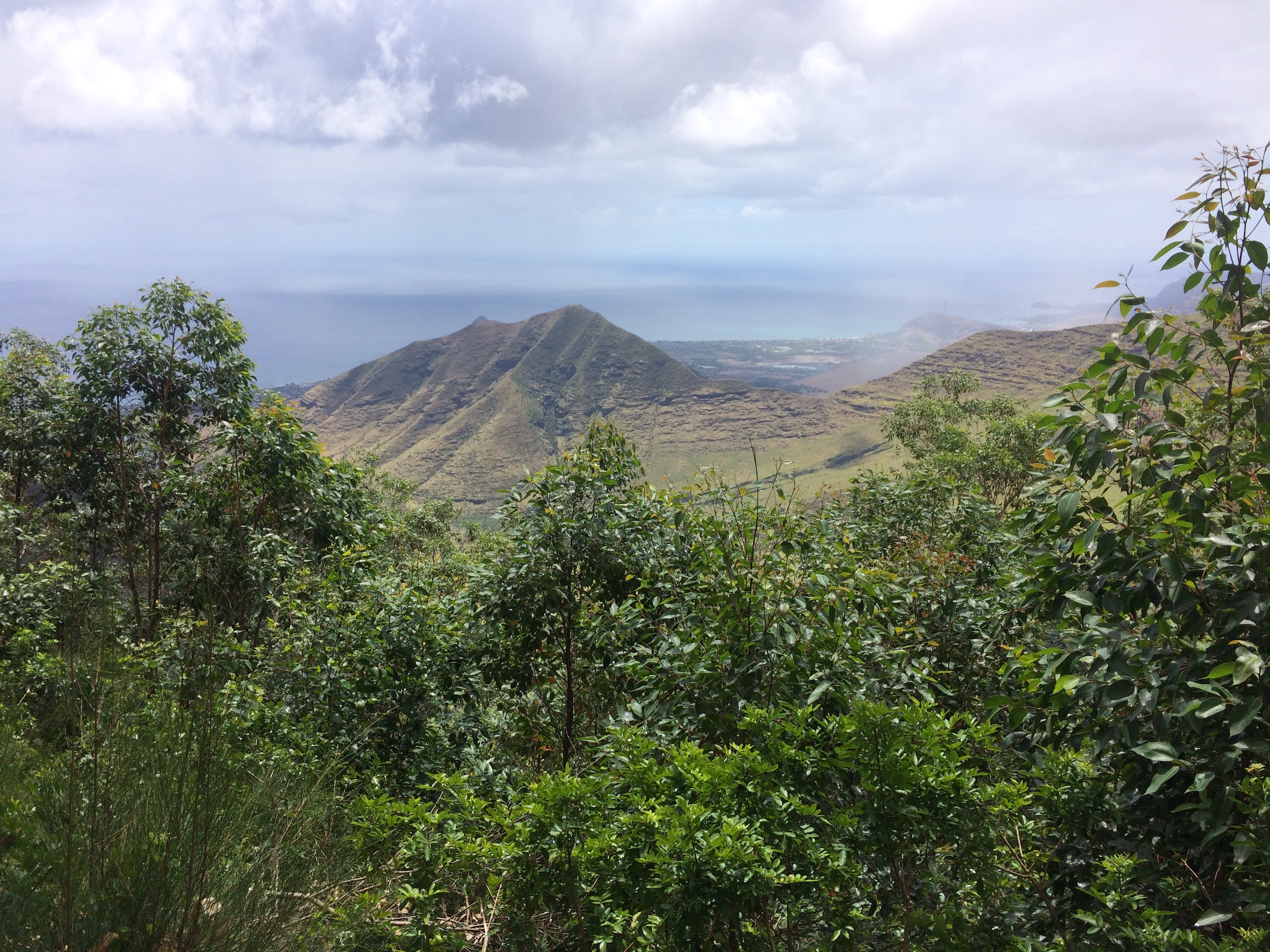
PFX-HWMO Palehua Wildfire Mitigation Planning Workshop_7_17_17_54_View of Nanakuli from cabin
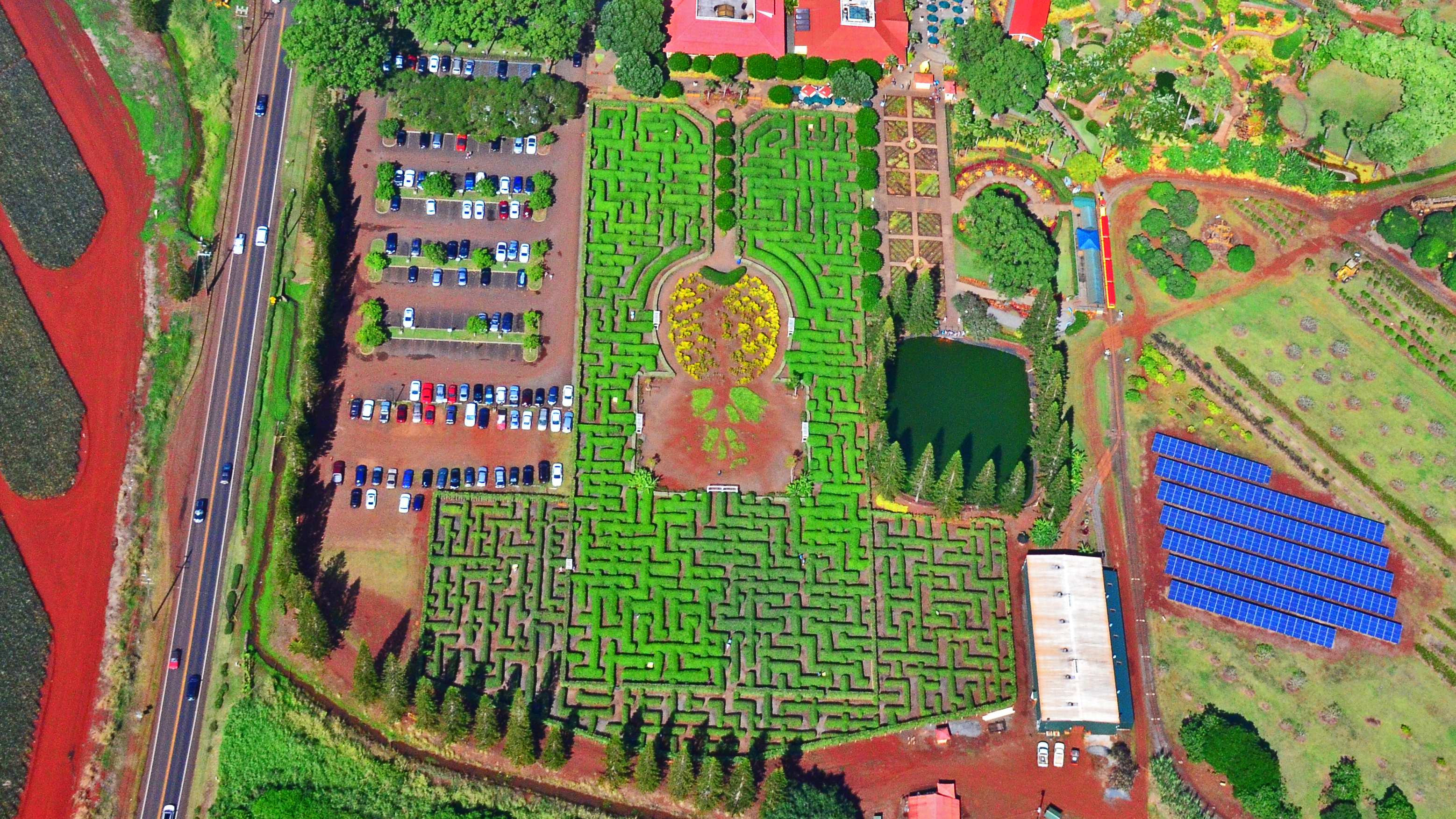
Dole Pineapple Maze

Pearl Harbour.
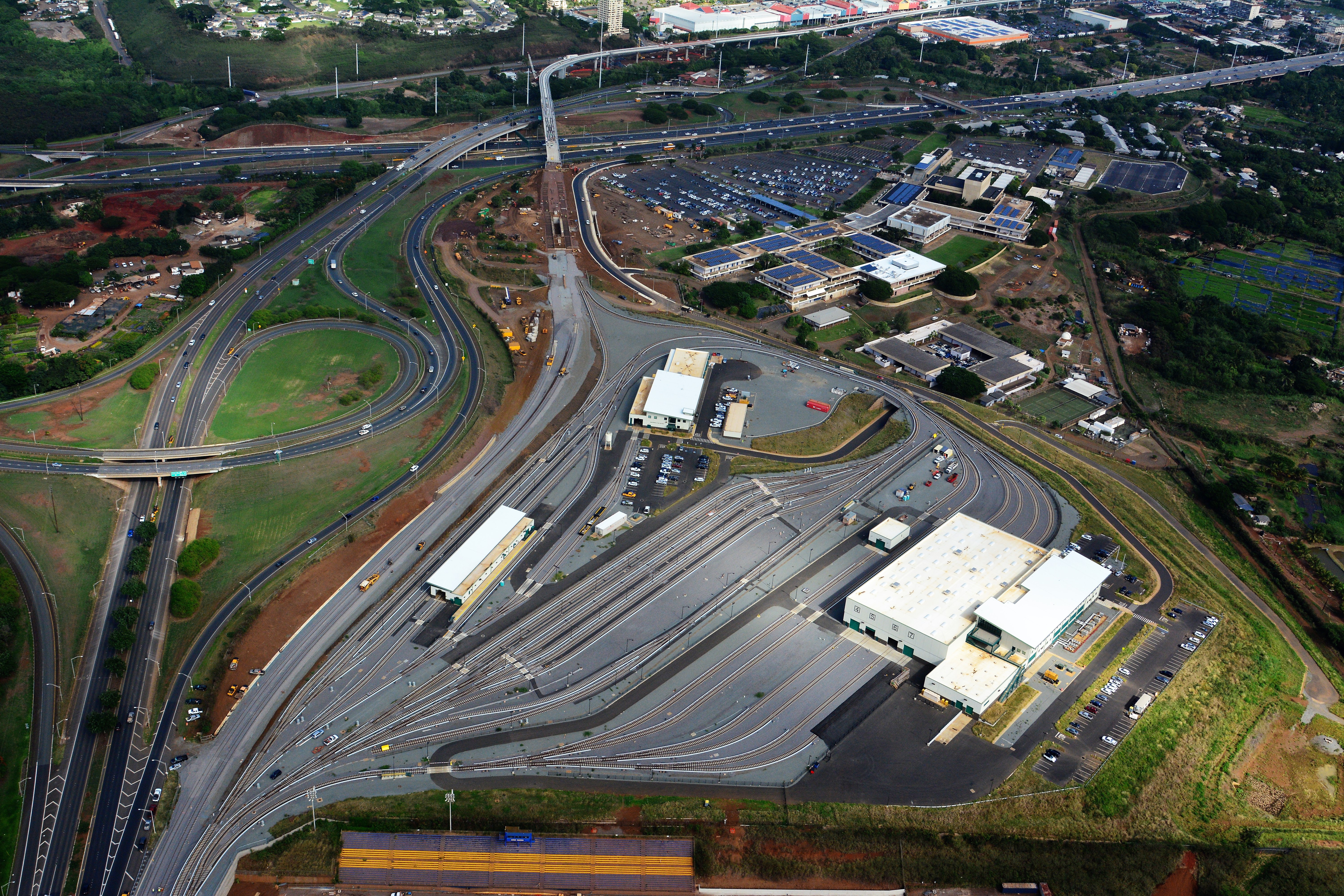
Aerial view of the Rail Operations Center facing east.
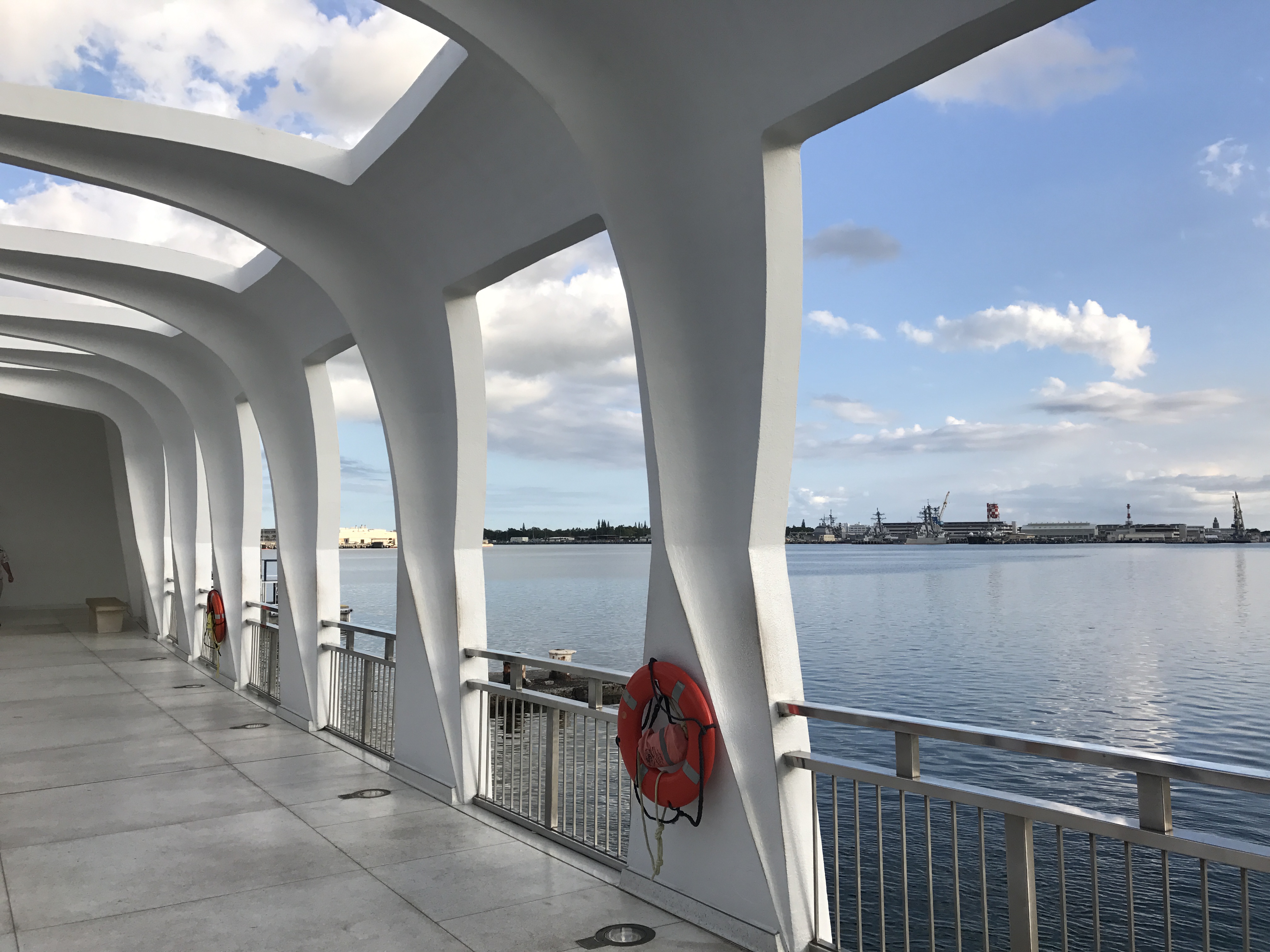
Pearl Harbor Tour
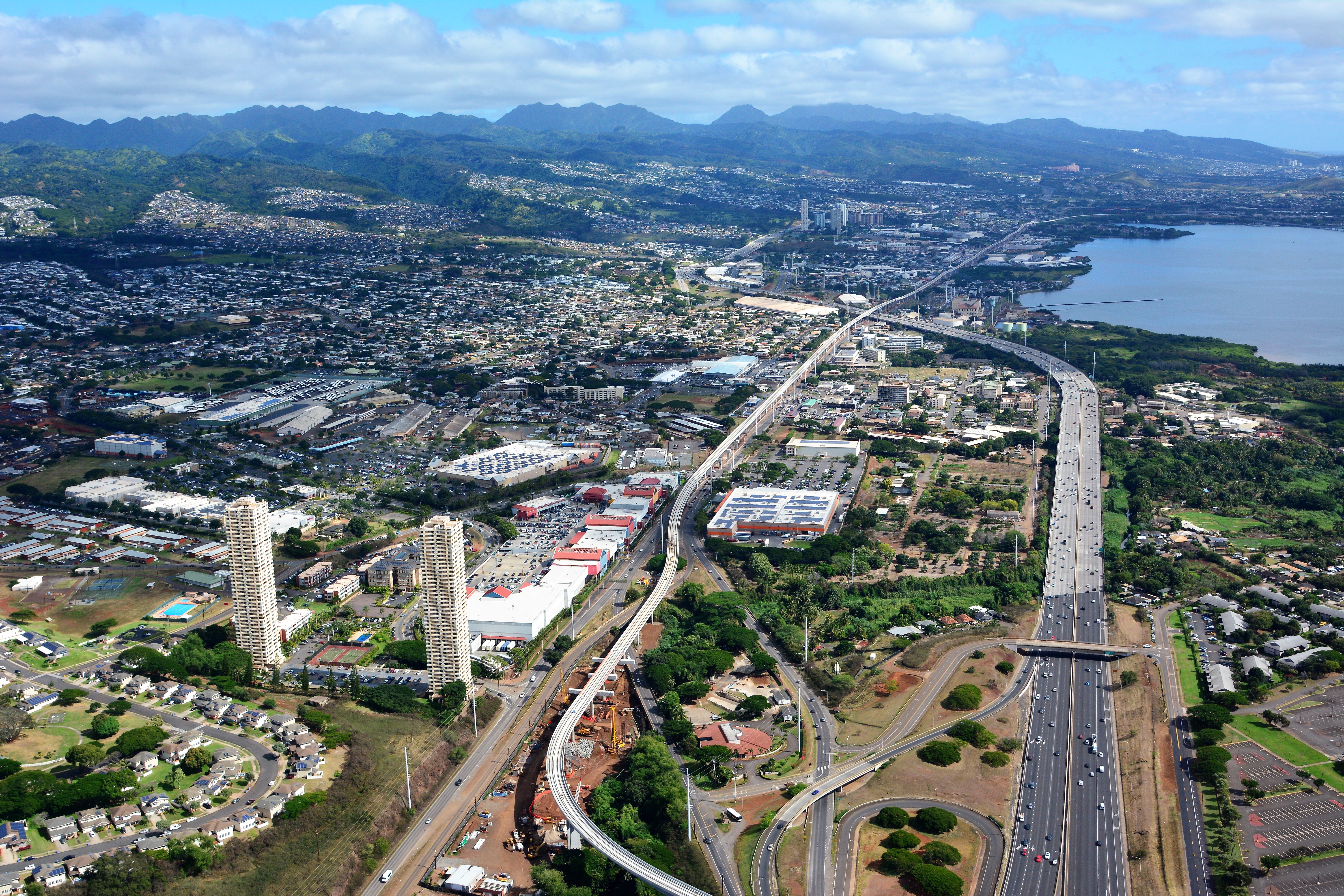
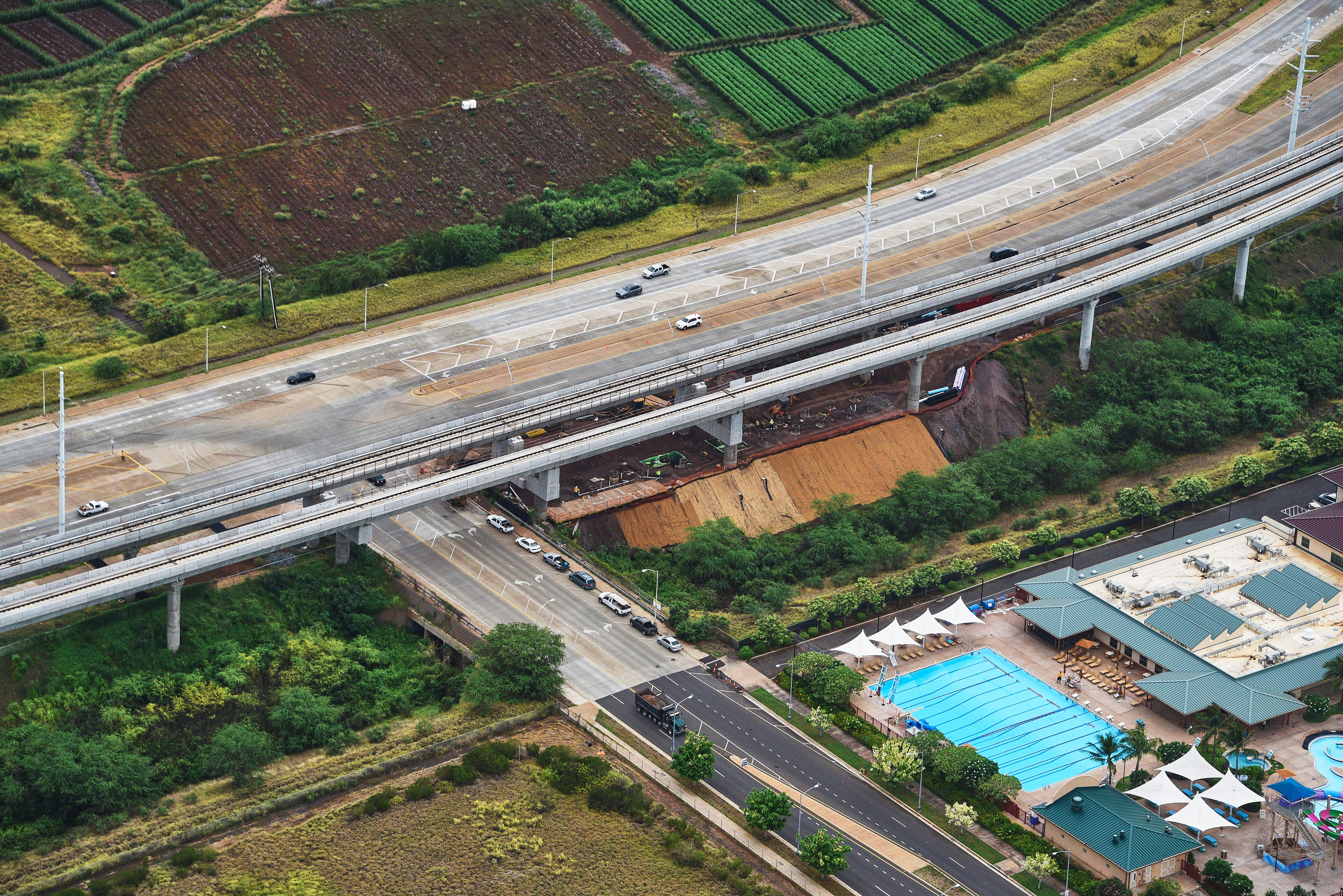
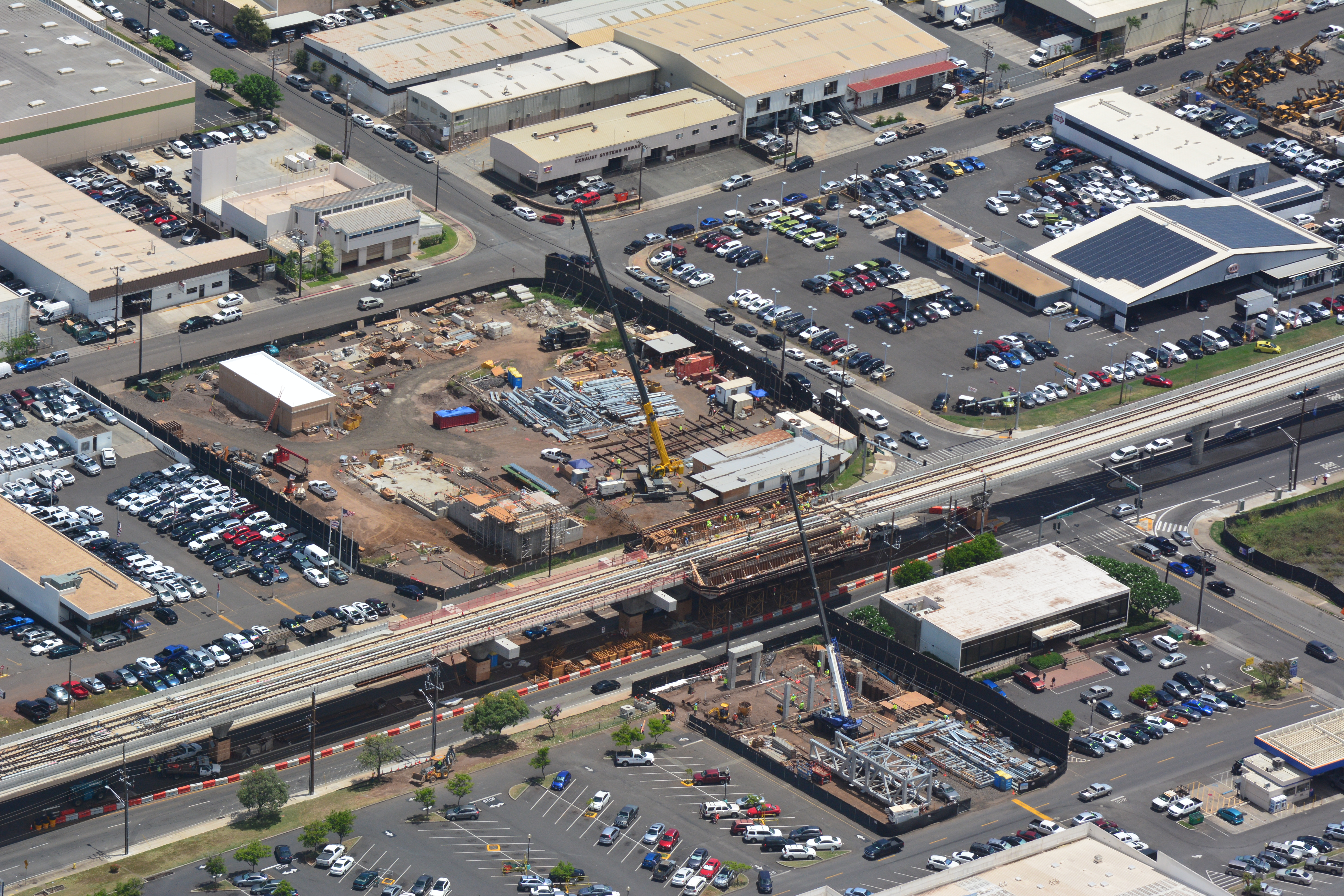
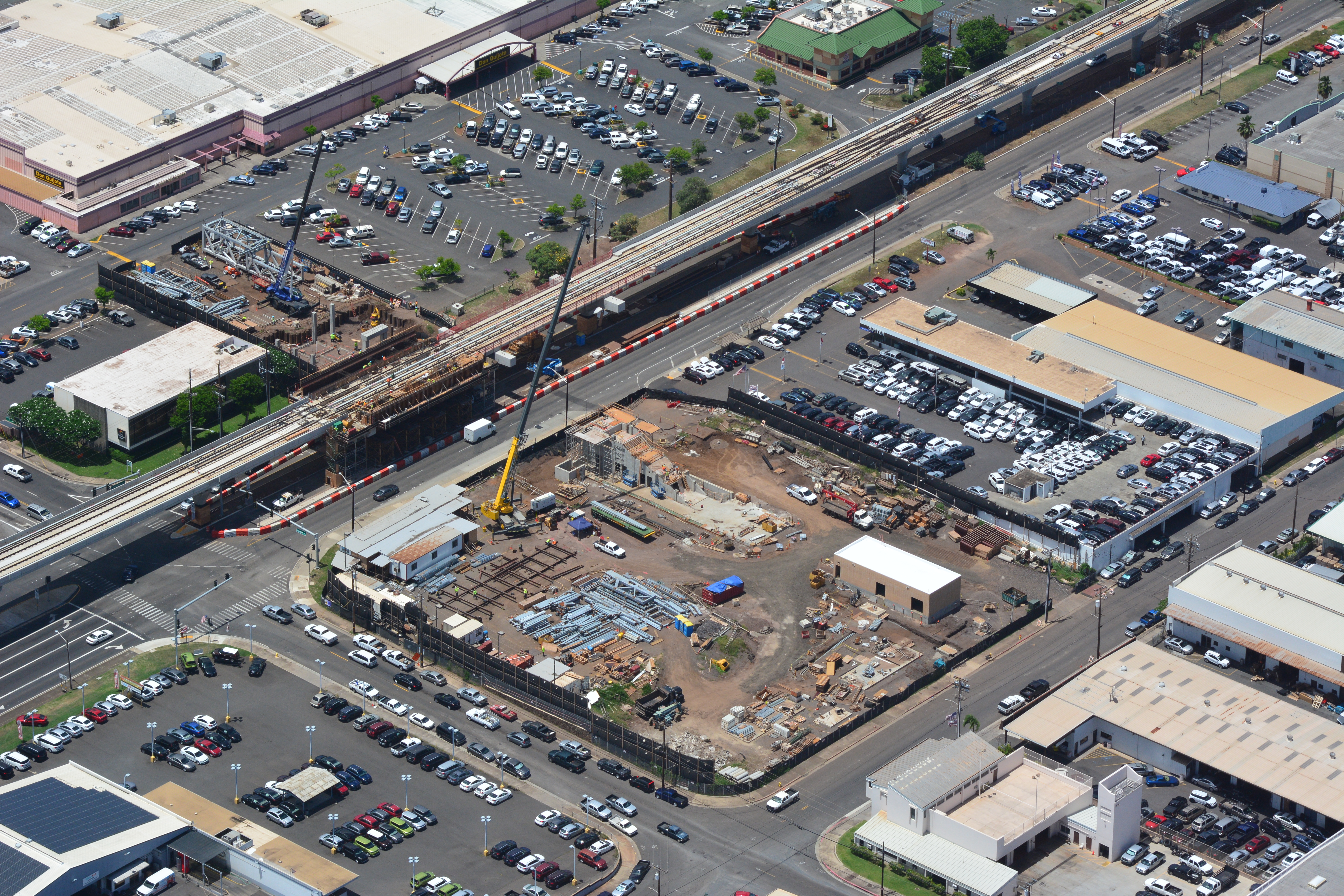
Aerial view of the Honolulu rail transit guideway construction along Kamehameha Highway through Pearl City.
Pearl Harbor Tour
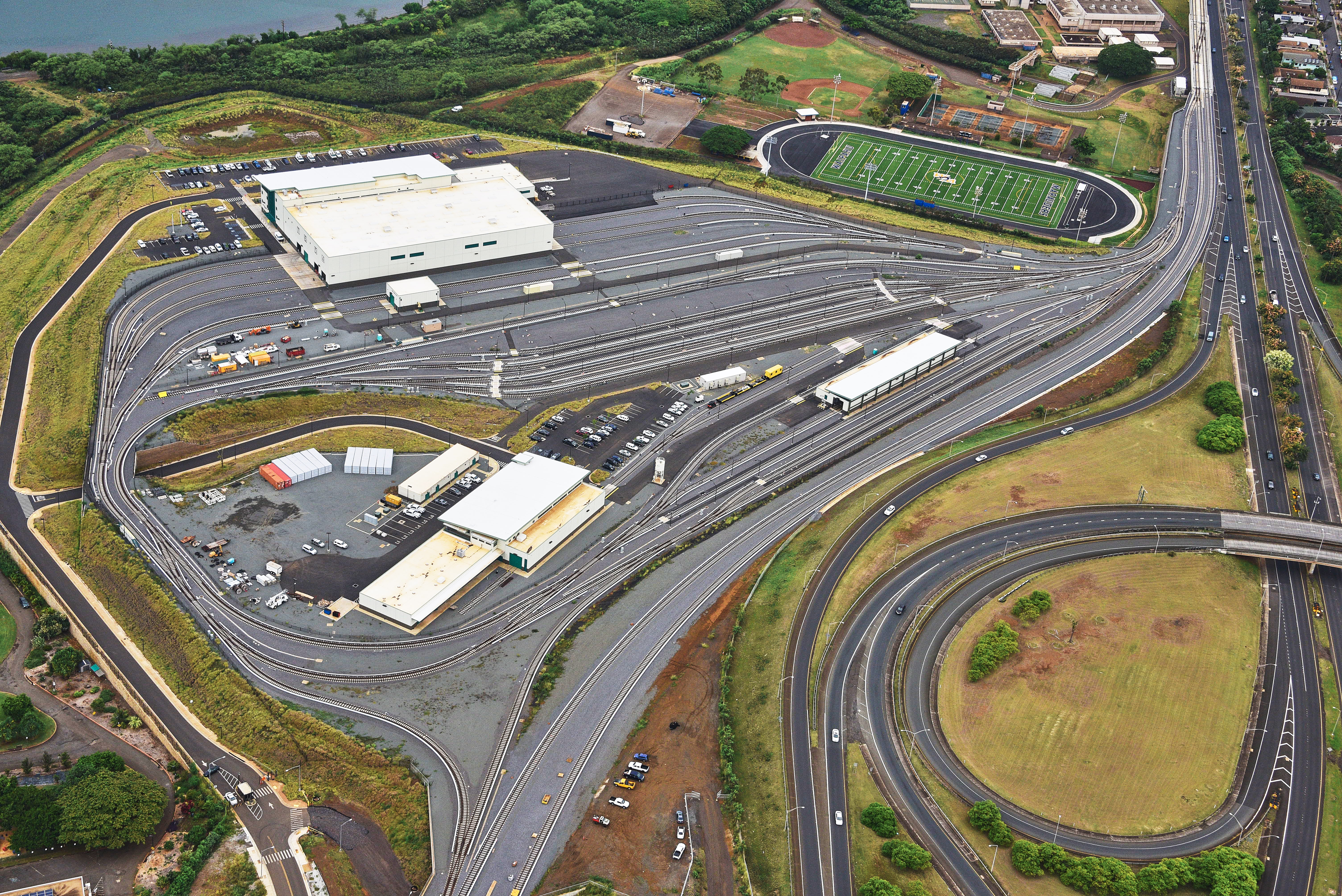
Aerial view of the Rail Operations Center facing makai (ocean).
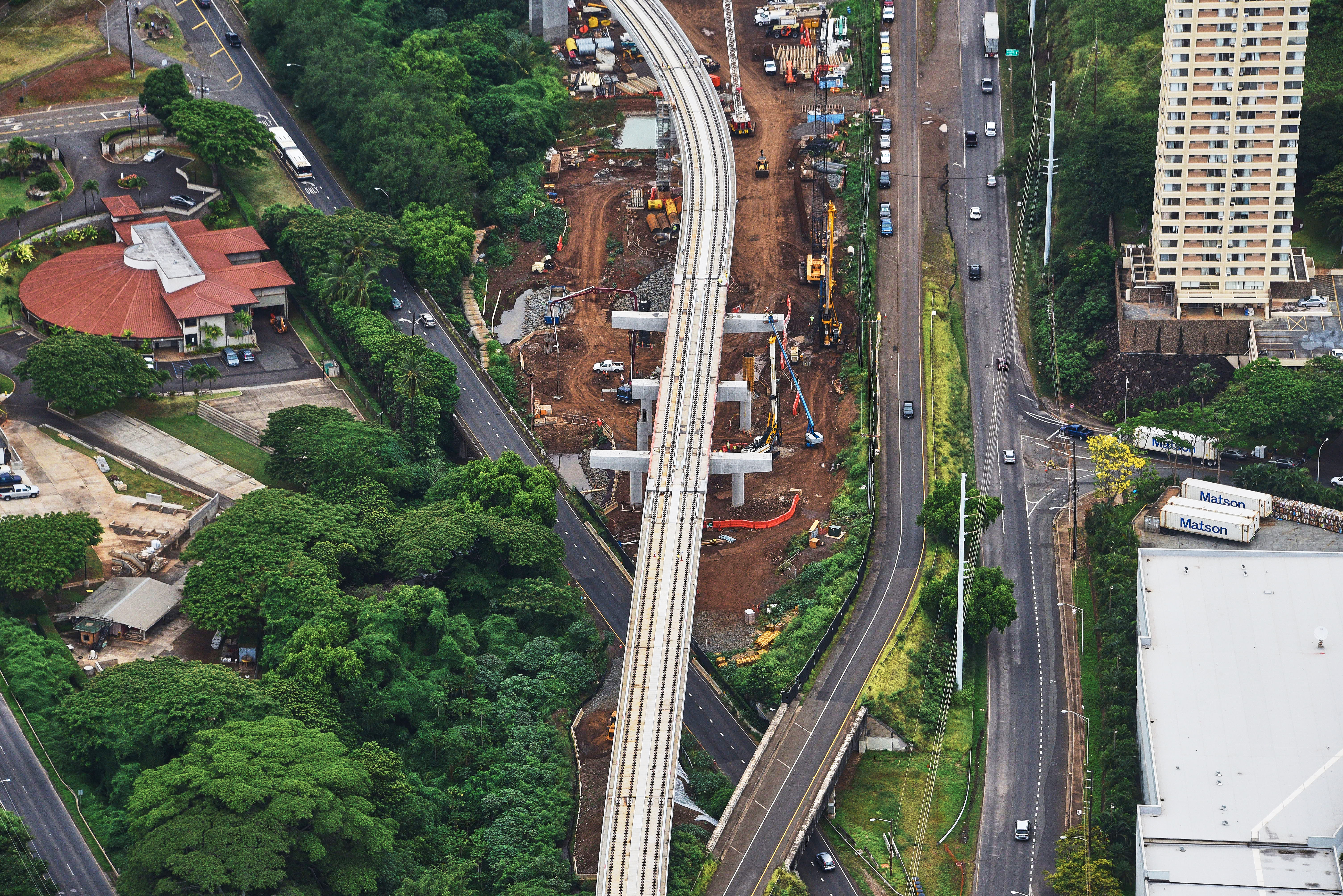
Aerial view of the makai (ocean) side of the West Loch station during construction.
Aerial view of East Kapolei construction.

Aerial view of a crossover track on the guideway before the Hoopili station.

Aerial view of the guideway through the Pearl City area.
Aerial view of construction facing makai (ocean) at the West Loch station.
West Loch station construction aerial view.
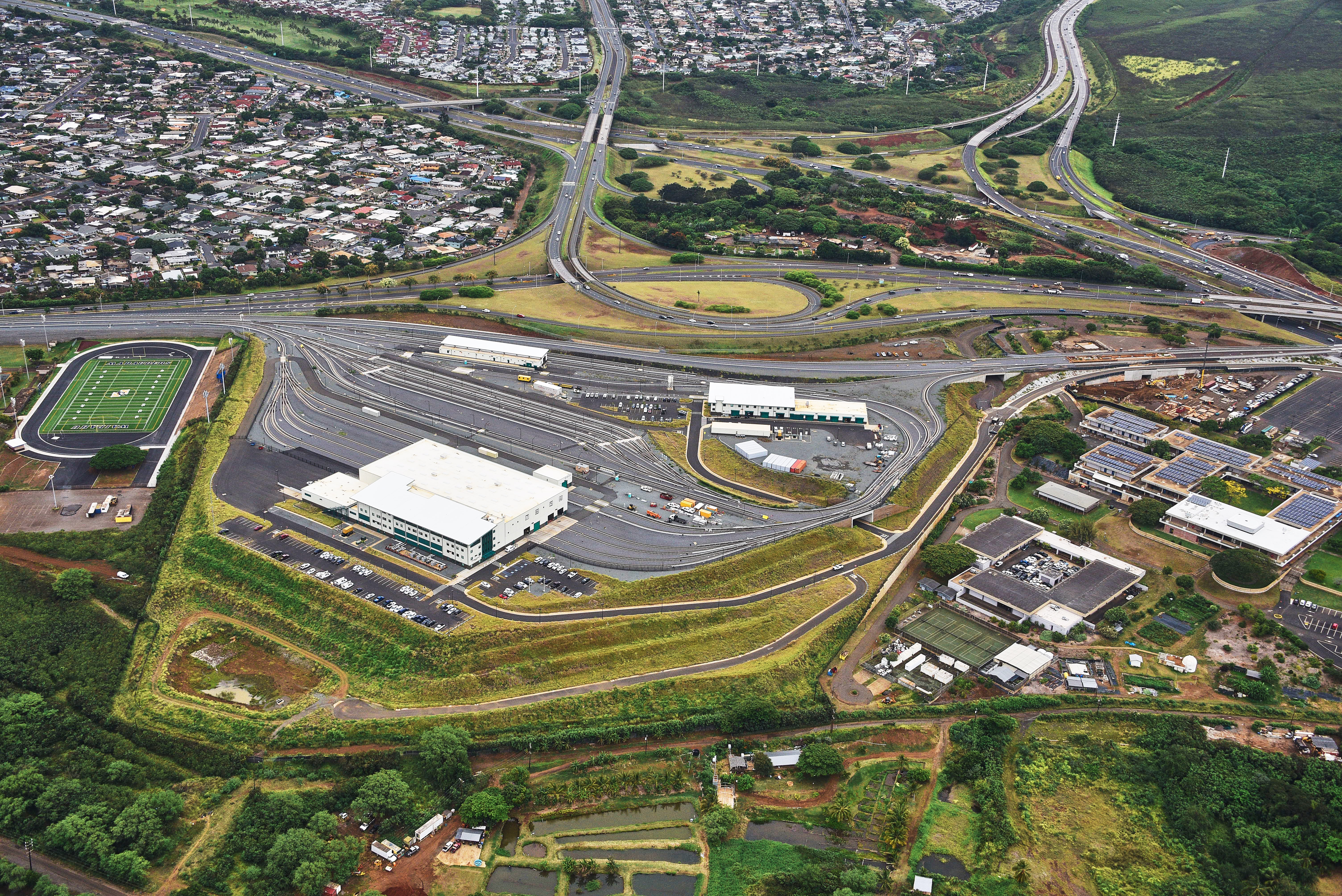
Aerial view of the Rail Operations Center.
Aerial view of the guideway near the Pearl Highlands station over the Farrington Highway.
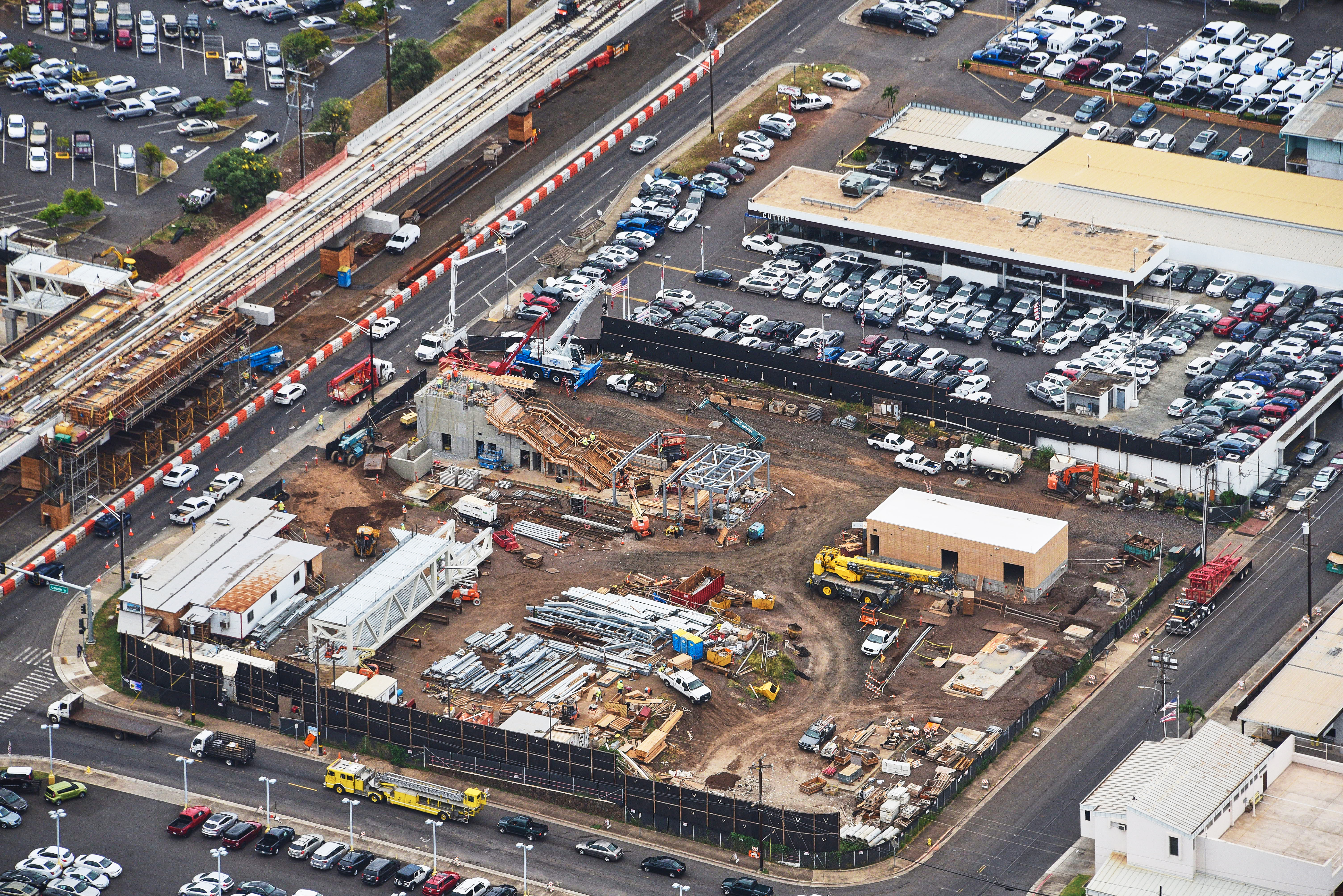
Aerial view of construction at the Pearlridge station facing mauka (mountain).

ANOTHER SUNSET FROM THE WAI'ANAE MOUNTAINS
Kalauao Falls Trail
Kalauao Falls Trail
ANOTHER OTHER SUNSET FROM THE WAI'ANAE MOUNTAINS
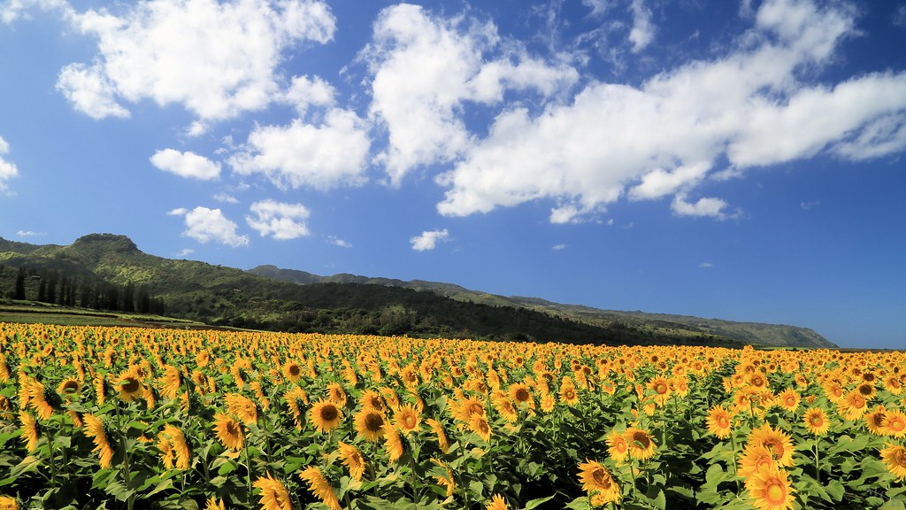
Sunflowers in Waialua

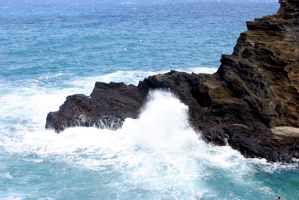
Where the grass is always greener
Waimanotoward Halapepenui091317-8085TracksB copy
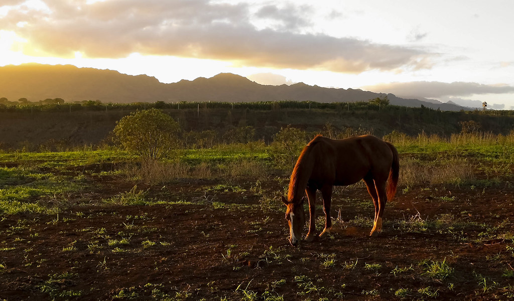
At the end of the day

Friday afternoon

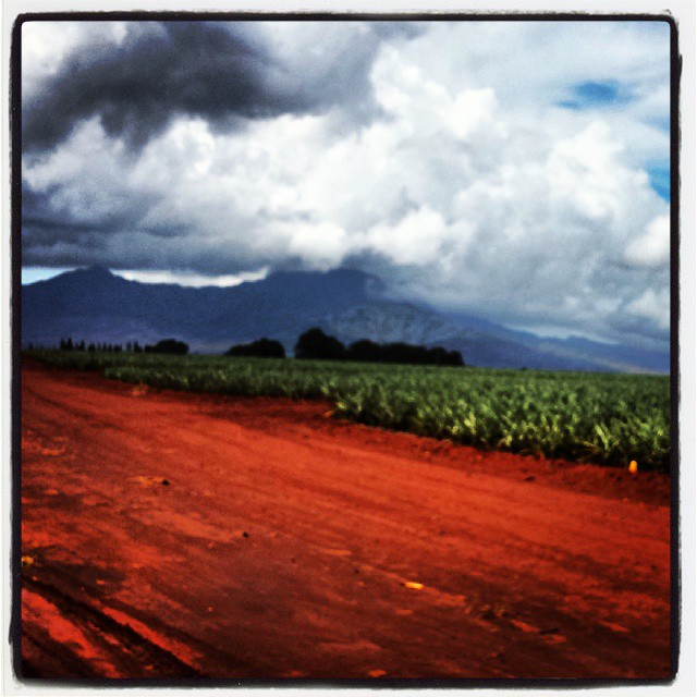
Pineapple Fields

2011_11 Pacific Trip-45

IMG_7935.JPG
IMG_7935.JPG

Okinawa Center Gardens

My Photo Stream-990
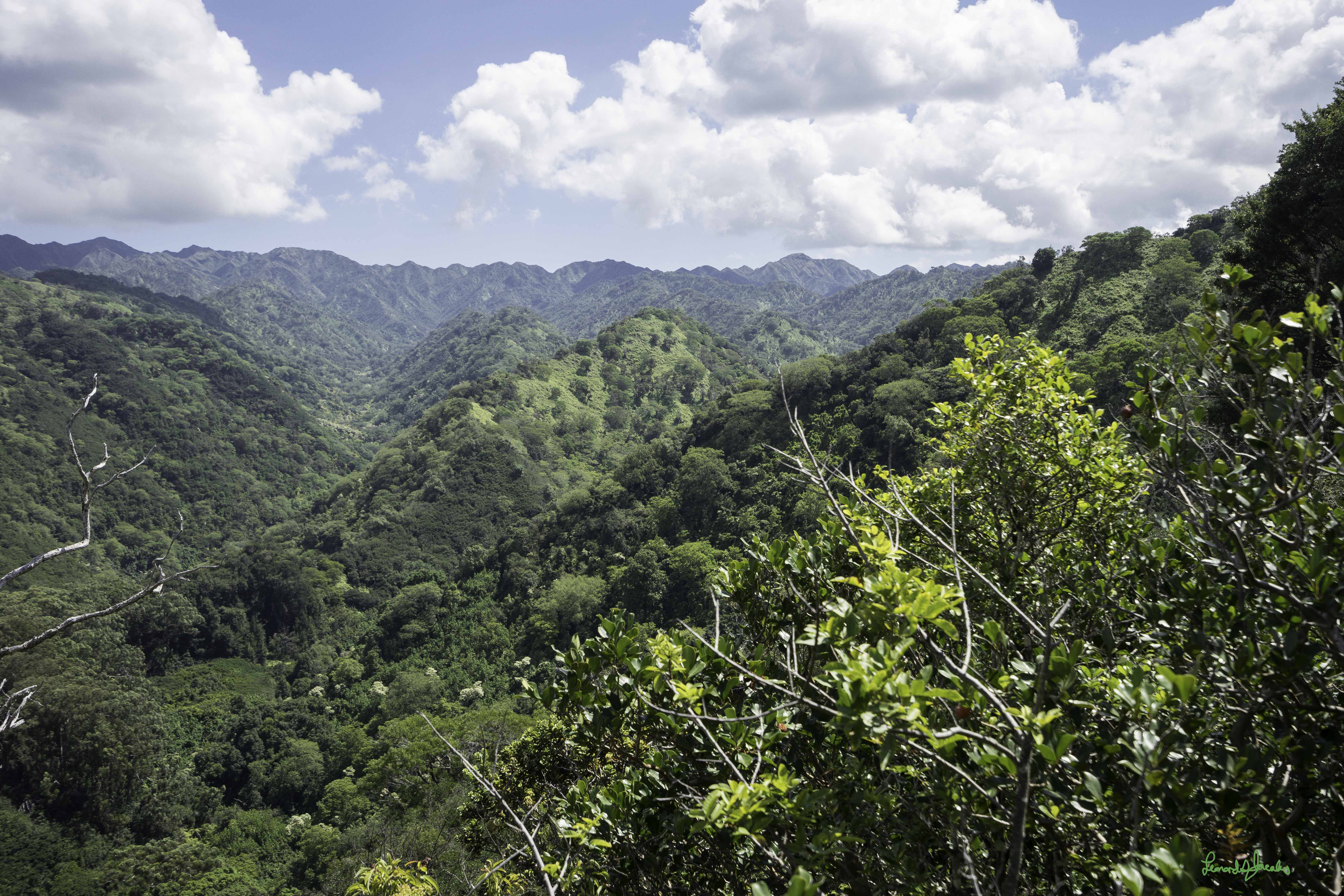
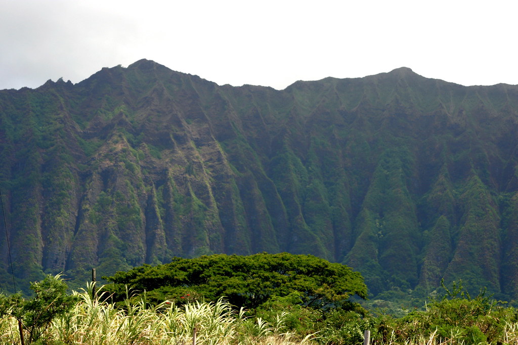
The Waialua Mountain Range in the Waimea Valley

Camera Roll-3915
IMG_7875.JPG
IMG_7924.JPG
IMG_7901.JPG

Don't work too hard, Bob!
Topographic Map of Mililani, HI, USA
Find elevation by address:

Places near Mililani, HI, USA:
95-270 Waikalani Dr
95-1026 Meapa St
95-210 Wailawa St
95-155
95-258 Waimakua Dr
95-999 Wikao St
Leilehua Golf Course
95-648 Hinalii St
Makaunulau Street
95-719 Lanikuhana Ave
275 Rose St
95-720 Lanikuhana Ave
Mililani High School
Wahiawā Middle School
Mililani
Haalohi Street
95-90 Lauaki Pl
Wahiawa
1720 Moala Pl
1419 Glen Ave
Recent Searches:
- Elevation of Kreuzburger Weg 13, Düsseldorf, Germany
- Elevation of Gateway Blvd SE, Canton, OH, USA
- Elevation of East W.T. Harris Boulevard, E W.T. Harris Blvd, Charlotte, NC, USA
- Elevation of West Sugar Creek, Charlotte, NC, USA
- Elevation of Wayland, NY, USA
- Elevation of Steadfast Ct, Daphne, AL, USA
- Elevation of Lagasgasan, X+CQH, Tiaong, Quezon, Philippines
- Elevation of Rojo Ct, Atascadero, CA, USA
- Elevation of Flagstaff Drive, Flagstaff Dr, North Carolina, USA
- Elevation of Avery Ln, Lakeland, FL, USA