Elevation of Mikkabichō Tadaki, Kita-ku, Hamamatsu-shi, Shizuoka-ken -, Japan
Location: Japan > Shizuoka Prefecture > Kita Ward >
Longitude: 137.571514
Latitude: 34.8281183
Elevation: 48m / 157feet
Barometric Pressure: 101KPa
Elevation Map:
Satellite Map:
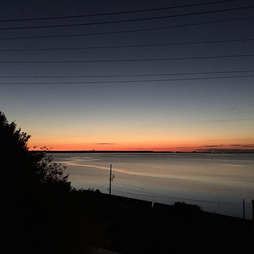
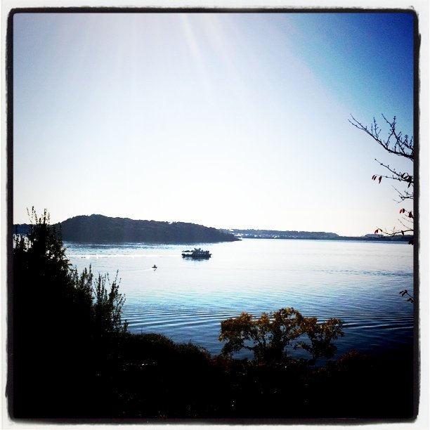
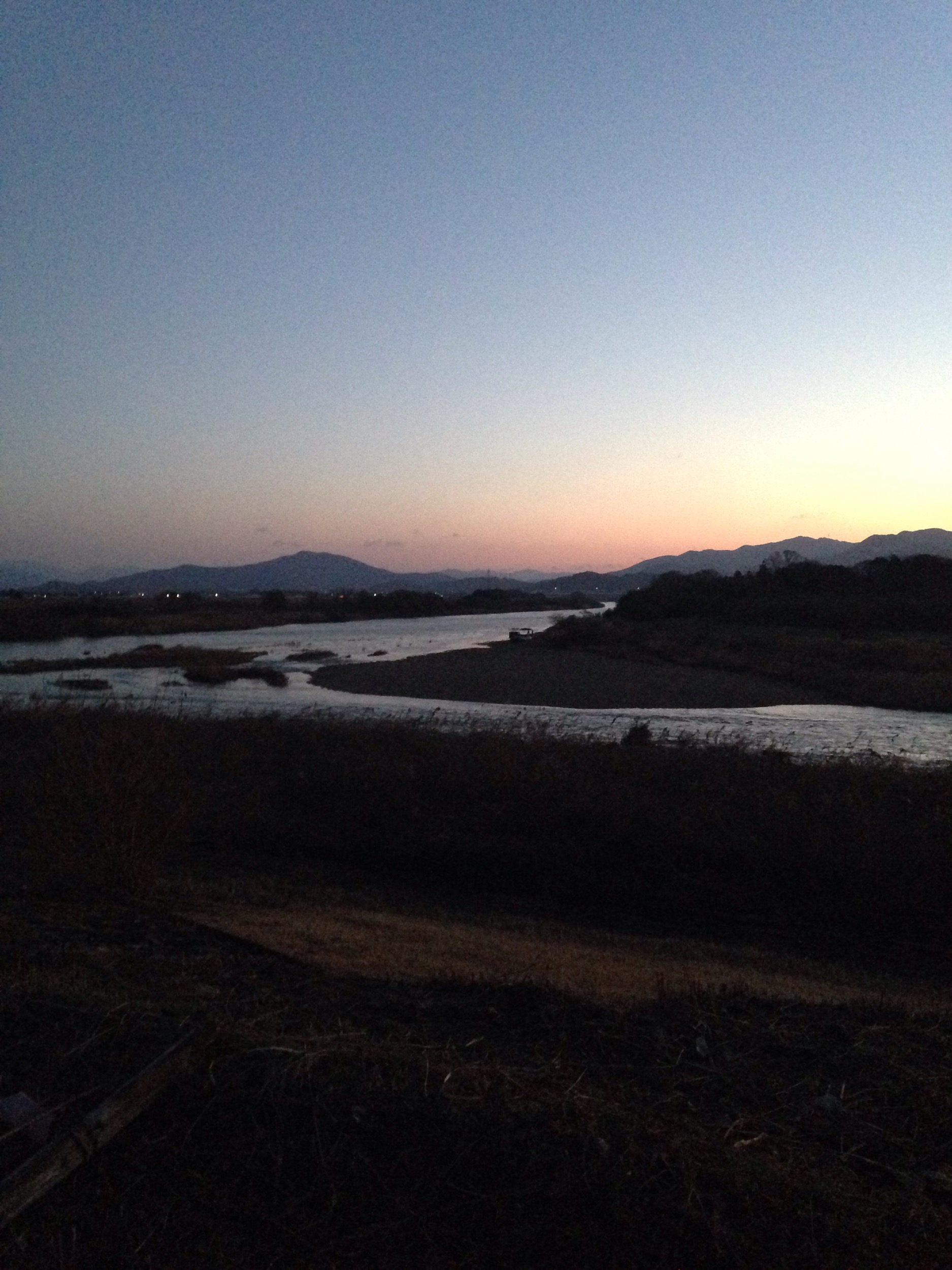
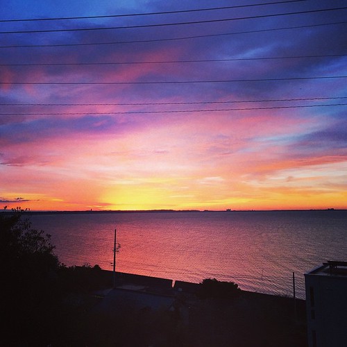
Related Photos:

A View from Inside the Seimei Hatago

Bentenjima Tori
Kosai Fields
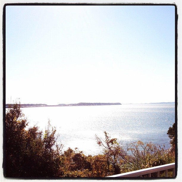
View from the Okuhamanako Prospect Park
A more typical view of History in Japan, or the Site of the Hikida Hachirobe Honjin on the Old Tokaido
4663 Inner Hamana
浜名湖なう

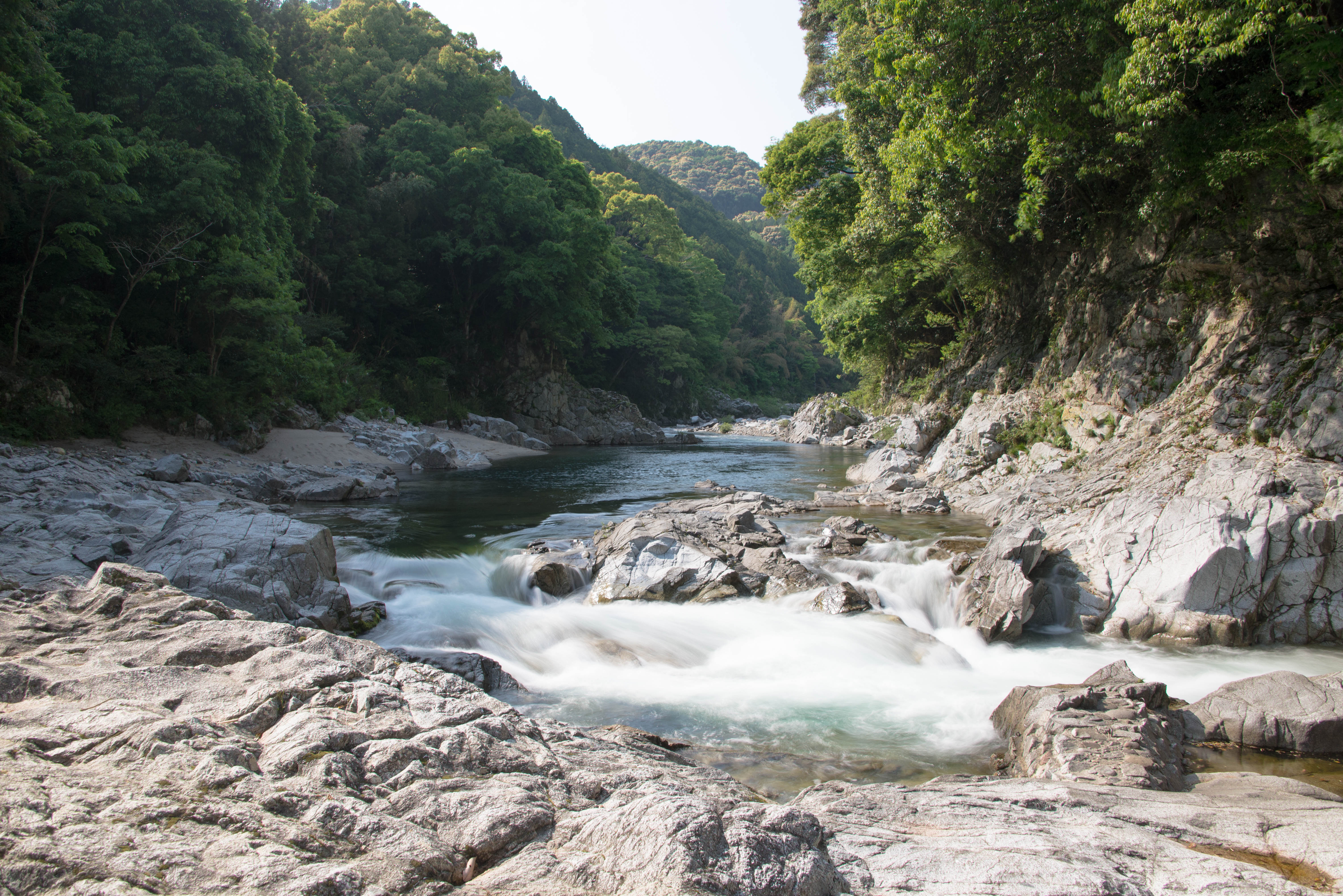
20140831 Atera no Nanataki 6

Explosion!!!

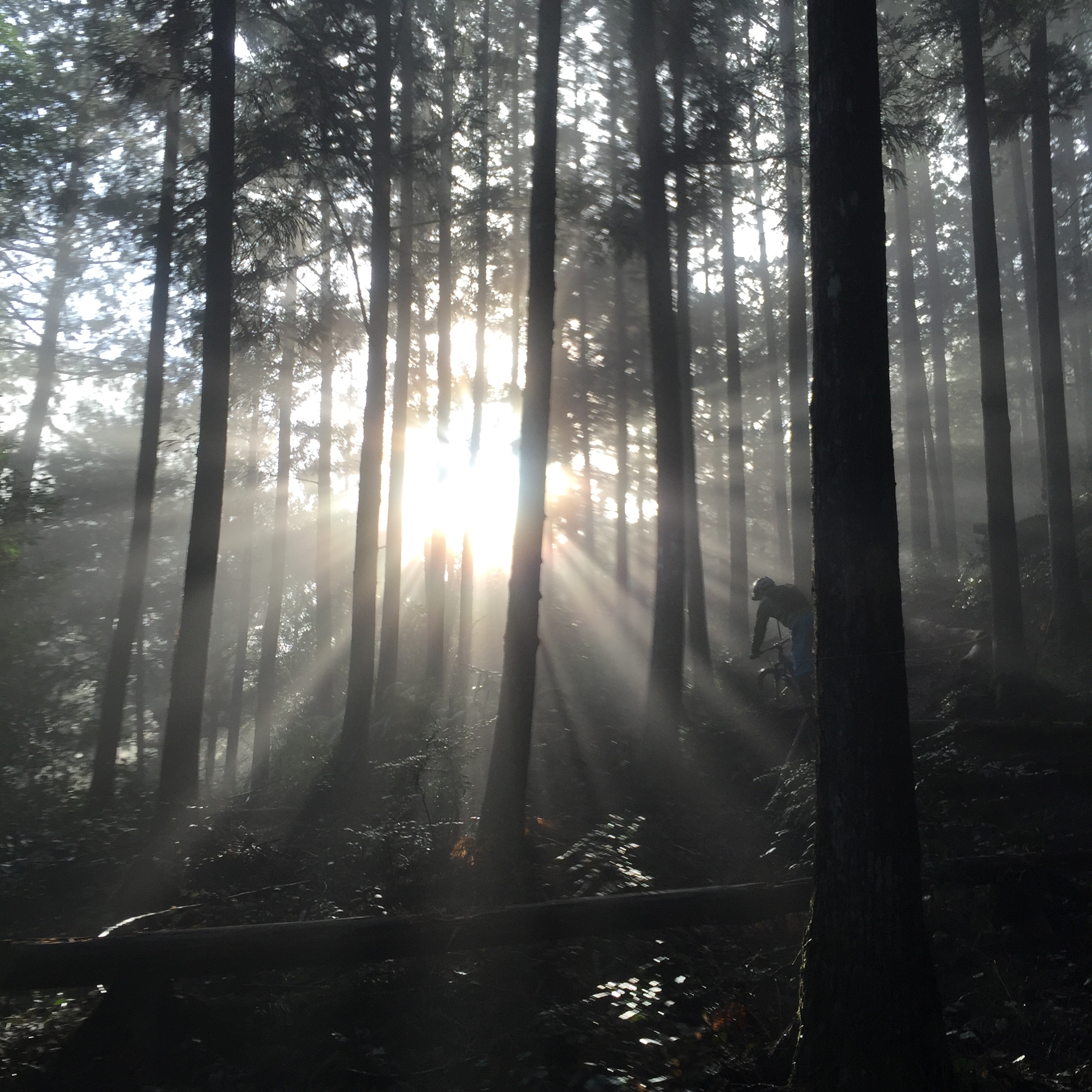
おはようございます! もう当分日の出は撮れないかなぁ。

20140831 Atera no Nanataki 1
おはようございます! 雨がようやくあがりました。すごい雷でした。

日の出予定地。 おはようございます!
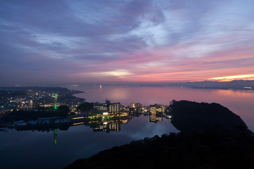
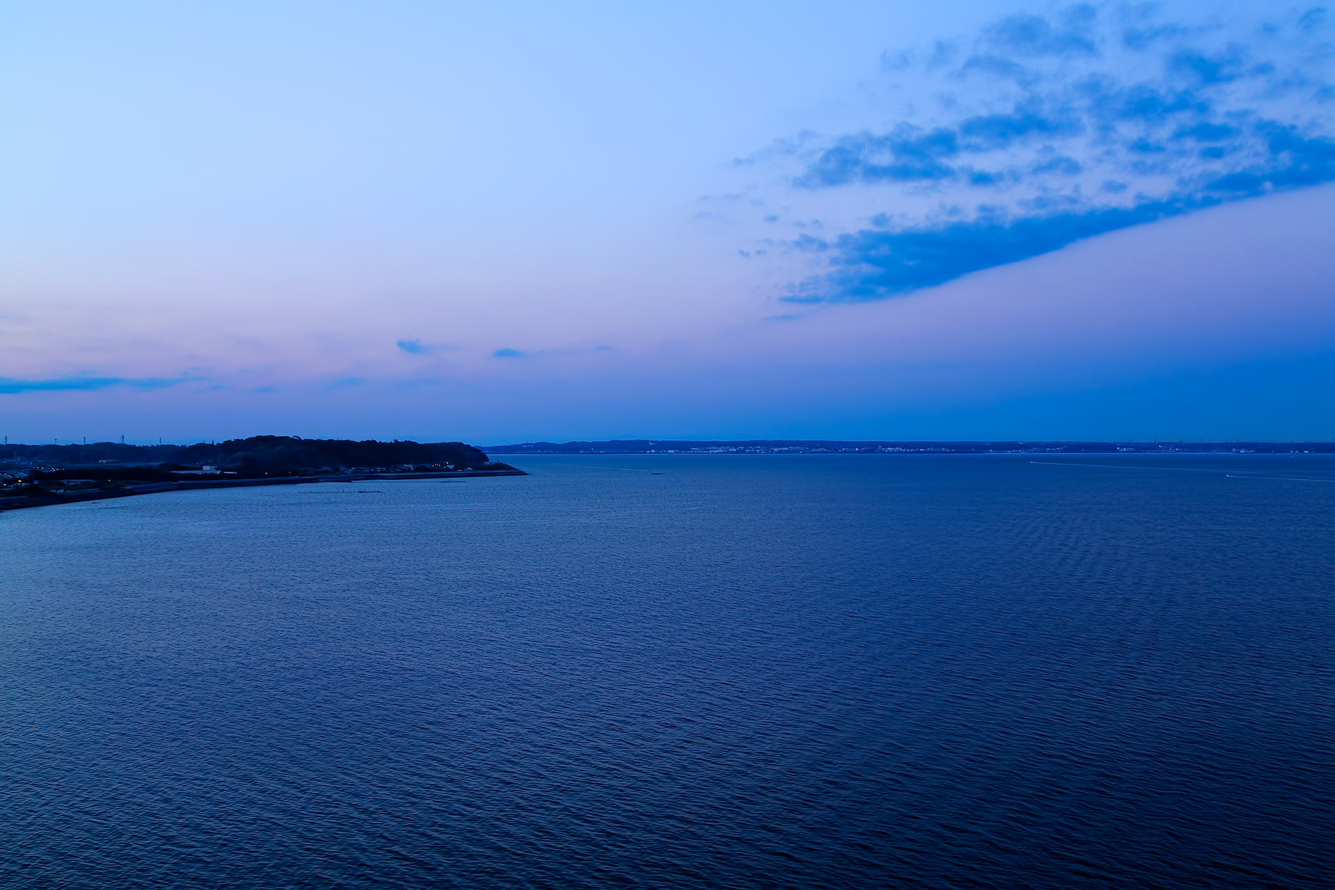
Sunset / 浜名湖 / 浜松市 / 静岡县 / Shizuoka-shi / Japan
おはようございます。こういうのたまらん。
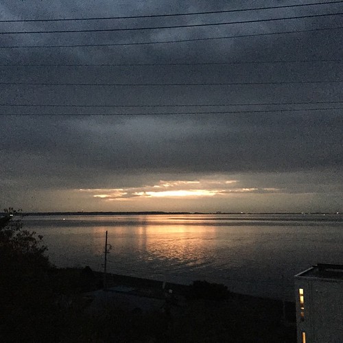
Sunrise in lake Hamanako
豊川

shower of sparks
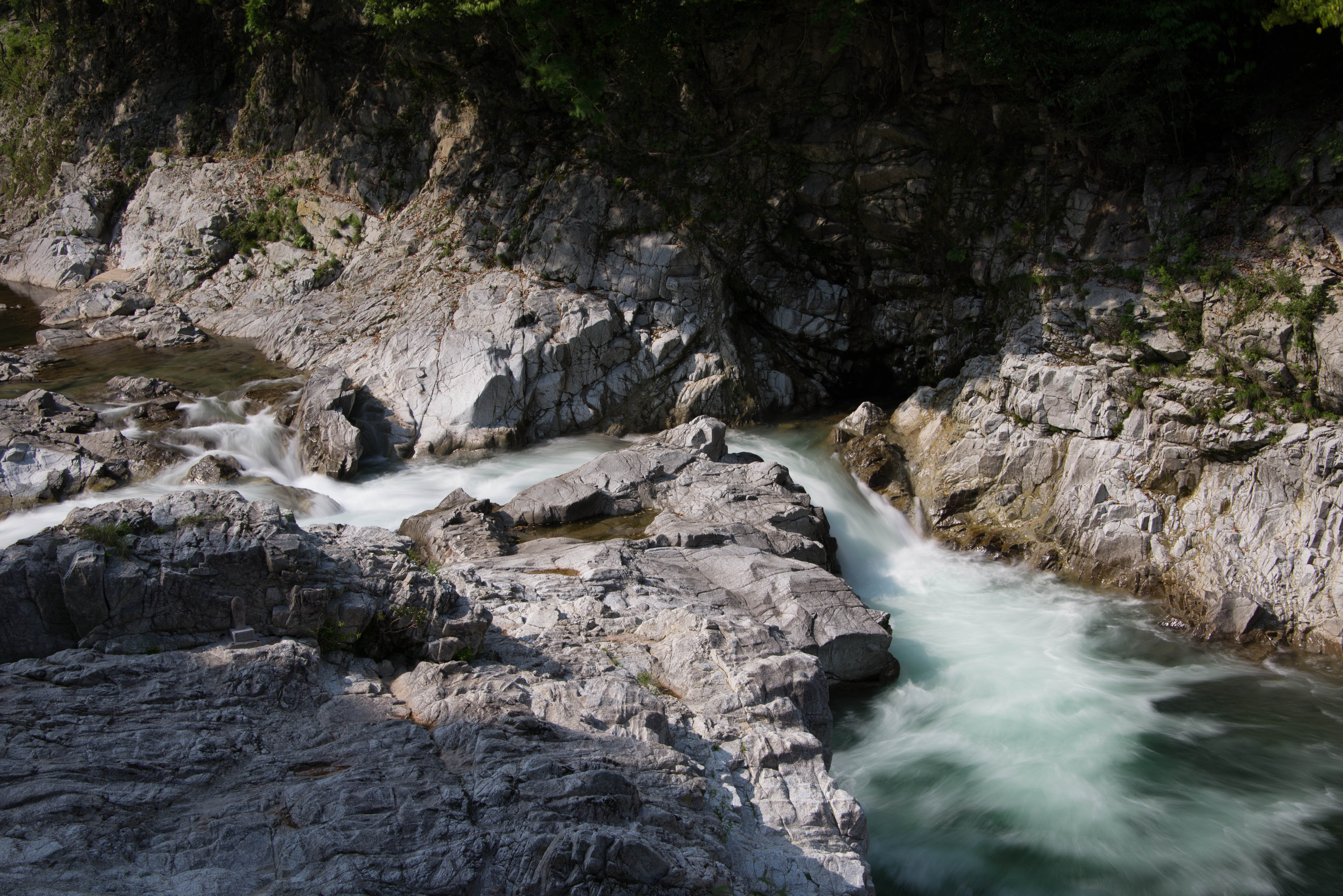
鮎滝
すべての写真-1813
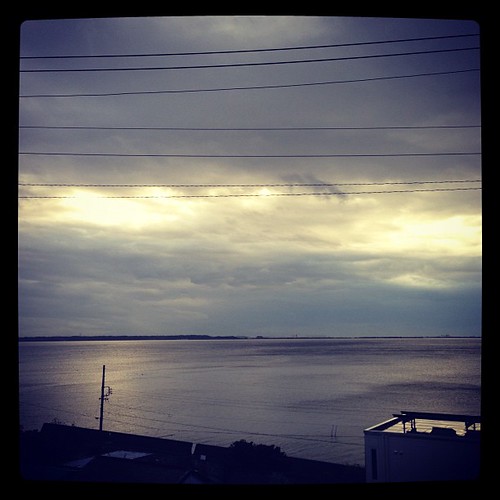
おはようございます。いつもの浜名湖です。ひさしぶりにすっきりキレイな浜名湖です。
浜名湖
すべての写真-1497
日の出 前

カメラロール-1233

2014-02-23_IMGP0024.jpg
Topographic Map of Mikkabichō Tadaki, Kita-ku, Hamamatsu-shi, Shizuoka-ken -, Japan
Find elevation by address:

Places in Mikkabichō Tadaki, Kita-ku, Hamamatsu-shi, Shizuoka-ken -, Japan:
Places near Mikkabichō Tadaki, Kita-ku, Hamamatsu-shi, Shizuoka-ken -, Japan:
只木地区集落センター
大谷公民館
840 Mikkabichō Ōya
697 Mikkabichō Hirayama
平山地区コミュニティセンター
Mikkabichōtsuri, Kita-ku, Hamamatsu-shi, Shizuoka-ken -, Japan
Kamihora- Takenowa, Shinshiro-shi, Aichi-ken -, Japan
Nishimonzawa-51 Tomioka, Shinshiro-shi, Aichi-ken -, Japan
Kakibara-10 Yoshikawa, Shinshiro-shi, Aichi-ken -, Japan
Inasachō Okuyama, Kita-ku, Hamamatsu-shi, Shizuoka-ken -, Japan
Kondaira-3 Kamiyoshida, Shinshiro-shi, Aichi-ken -, Japan
Tsubo-46 Kuroda, Shinshiro-shi, Aichi-ken -, Japan
Yakushimae-6 Niwano, Shinshiro-shi, Aichi-ken -, Japan
Kita Ward
Mawatari-17 Hiyoshi, Shinshiro-shi, Aichi-ken -, Japan
Toida-56 Hiyoshi, Shinshiro-shi, Aichi-ken -, Japan
Itayazōre-8 Norimoto, Shinshiro-shi, Aichi-ken -, Japan
Sanemori-18 Hitokuwada, Shinshiro-shi, Aichi-ken -, Japan
Tomizawa, Shinshiro-shi, Aichi-ken -, Japan
Takehiro, Shinshiro-shi, Aichi-ken -, Japan
Recent Searches:
- Elevation of Rojo Ct, Atascadero, CA, USA
- Elevation of Flagstaff Drive, Flagstaff Dr, North Carolina, USA
- Elevation of Avery Ln, Lakeland, FL, USA
- Elevation of Woolwine, VA, USA
- Elevation of Lumagwas Diversified Farmers Multi-Purpose Cooperative, Lumagwas, Adtuyon, RV32+MH7, Pangantucan, Bukidnon, Philippines
- Elevation of Homestead Ridge, New Braunfels, TX, USA
- Elevation of Orchard Road, Orchard Rd, Marlborough, NY, USA
- Elevation of 12 Hutchinson Woods Dr, Fletcher, NC, USA
- Elevation of Holloway Ave, San Francisco, CA, USA
- Elevation of Norfolk, NY, USA