Elevation of Mikado Township, MI, USA
Location: United States > Michigan > Alcona County >
Longitude: -83.549656
Latitude: 44.556228
Elevation: 243m / 797feet
Barometric Pressure: 98KPa
Elevation Map:
Satellite Map:
Related Photos:

back-waters of the Ausable River as viewed from Iargo Springs, Michigan
Iargo Springs

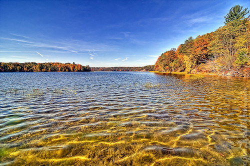
Cooke Pond Autumn View

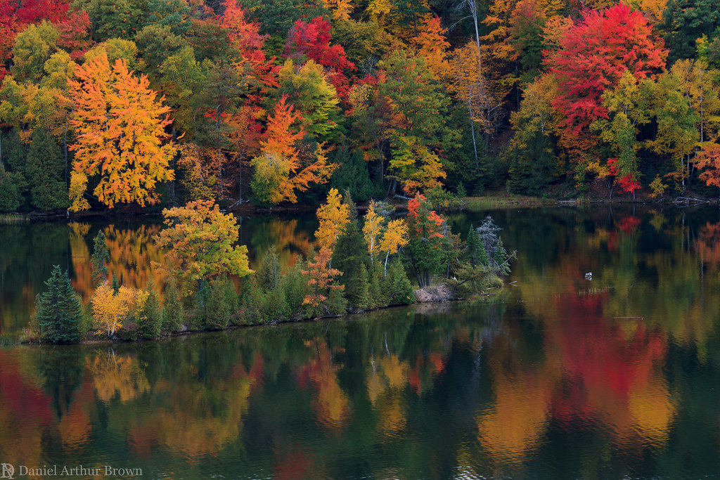
Au Sable River Autumn Island View

Lumberman's Monument

Cooke Dam Pond View
Glennie from a treestand

Cooke Pond Colorful Trees View

Foote Pond Overlook Colorful Tree View

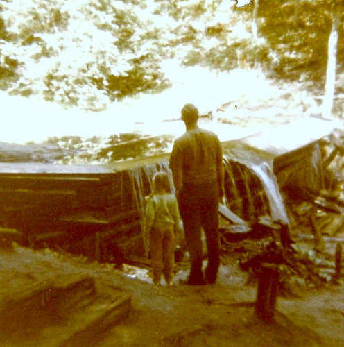
Debbie enjoying the view

good-morning-sunshine

Good day for fishing

And This Is January?
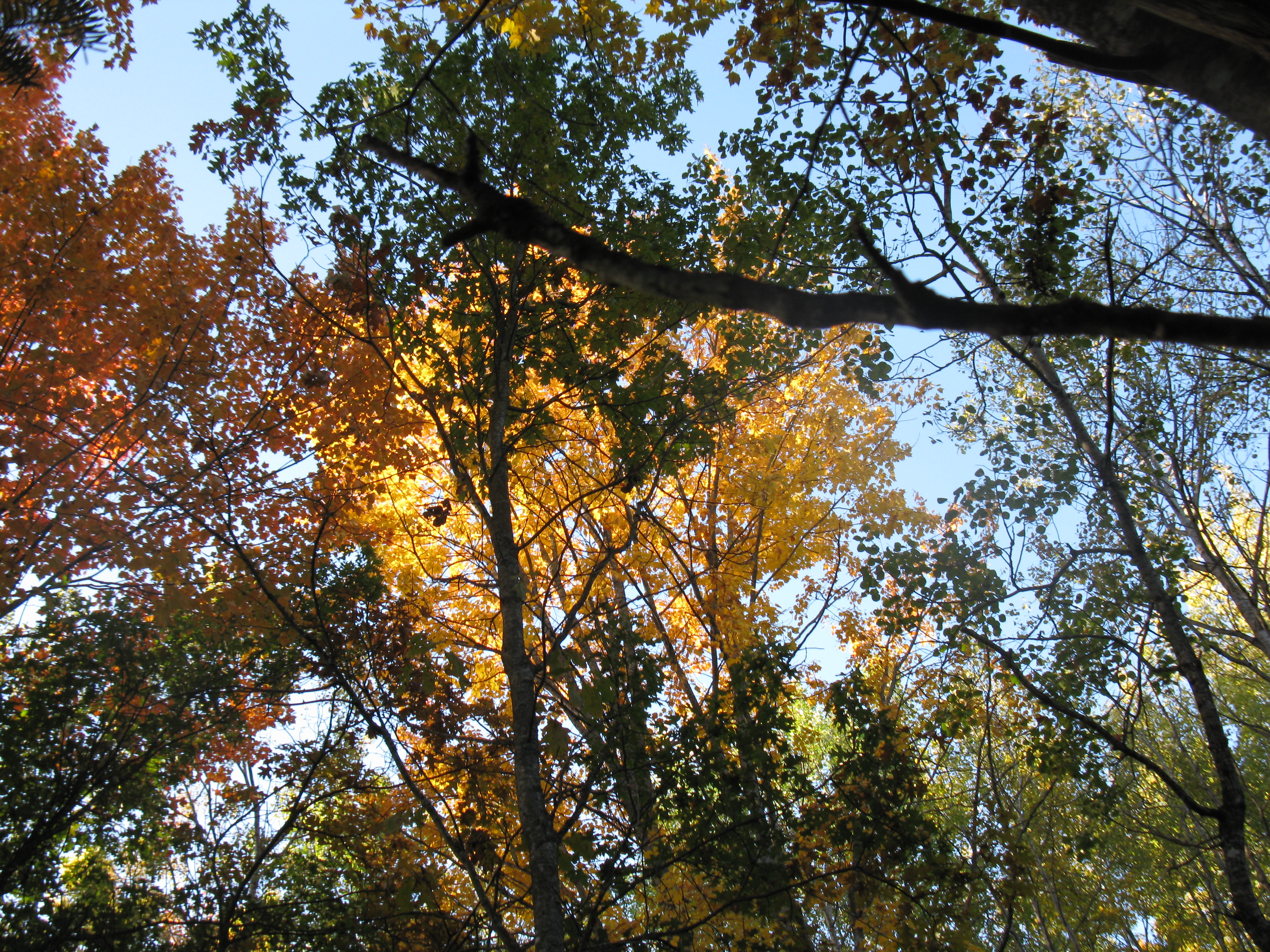
Fall in Michigan

Autumn in Michigan

HMNF_cooke pond 2 10-8-16

AuSable Highbanks

10-07-12 - Au Sable from the Lumbermans Memorial Overlook 8733-8735 HDR panorama by Daniel Arthur Brown

95 nisso r21

95 07 110

Steps up from the Au Sable, Au Sable National Scenic River, Michigan
Fall colors on the Au Sable River, Michigan

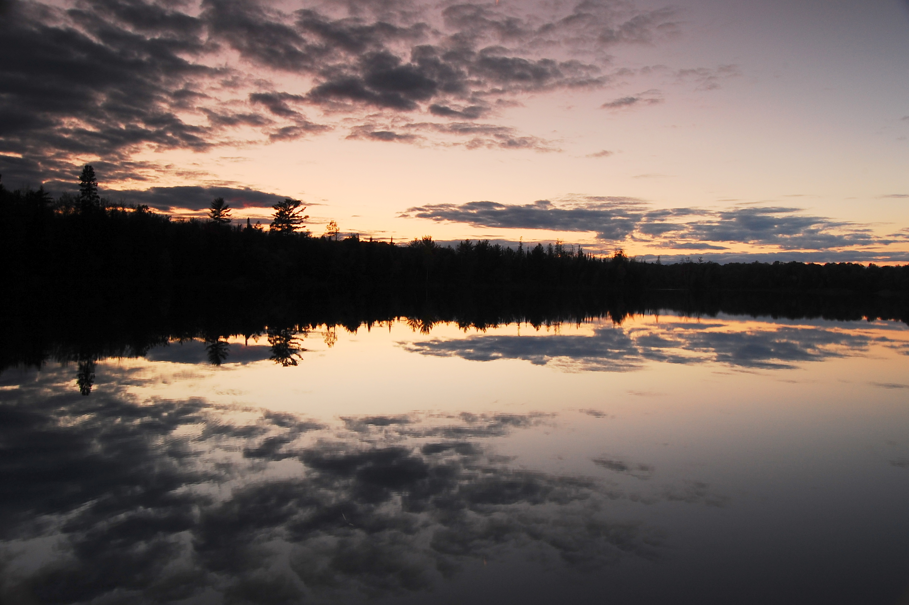
Sunset on the Au Sable National Scenic River from the Dune Overlook, Huron National Forest, Michigan

95 06 32

Near Oscoda, MI, USA

The Au Sable River from the Sand Dune Overlook Au Sable National Scenic River, Michigan

AuSable River

The Au Sable River from the High Banks Trail, Au Sable National Scenic River, Michigan
Five Channels Dam Pond
Topographic Map of Mikado Township, MI, USA
Find elevation by address:

Places near Mikado Township, MI, USA:
South Bean Hill Road
Alcona County
Gustin Township
Barton City
11 M-72
Millen Township
Greenbush Township
Hubbard Lake
Harrisville Township
5886 Westshore Dr
Iosco County
Haynes Township
Baldwin Township
Oscoda Township
6683 Shipley Trail
Harrisville
701 Cedar St
Plainfield Township
East Tawas
1627 Primrose St
Recent Searches:
- Elevation of Congressional Dr, Stevensville, MD, USA
- Elevation of Bellview Rd, McLean, VA, USA
- Elevation of Stage Island Rd, Chatham, MA, USA
- Elevation of Shibuya Scramble Crossing, 21 Udagawacho, Shibuya City, Tokyo -, Japan
- Elevation of Jadagoniai, Kaunas District Municipality, Lithuania
- Elevation of Pagonija rock, Kranto 7-oji g. 8"N, Kaunas, Lithuania
- Elevation of Co Rd 87, Jamestown, CO, USA
- Elevation of Tenjo, Cundinamarca, Colombia
- Elevation of Côte-des-Neiges, Montreal, QC H4A 3J6, Canada
- Elevation of Bobcat Dr, Helena, MT, USA