Elevation of Migori, Kenya
Location: Kenya > Migori County >
Longitude: 34.4752715
Latitude: -1.0706976
Elevation: 1394m / 4573feet
Barometric Pressure: 86KPa
Elevation Map:
Satellite Map:
Related Photos:
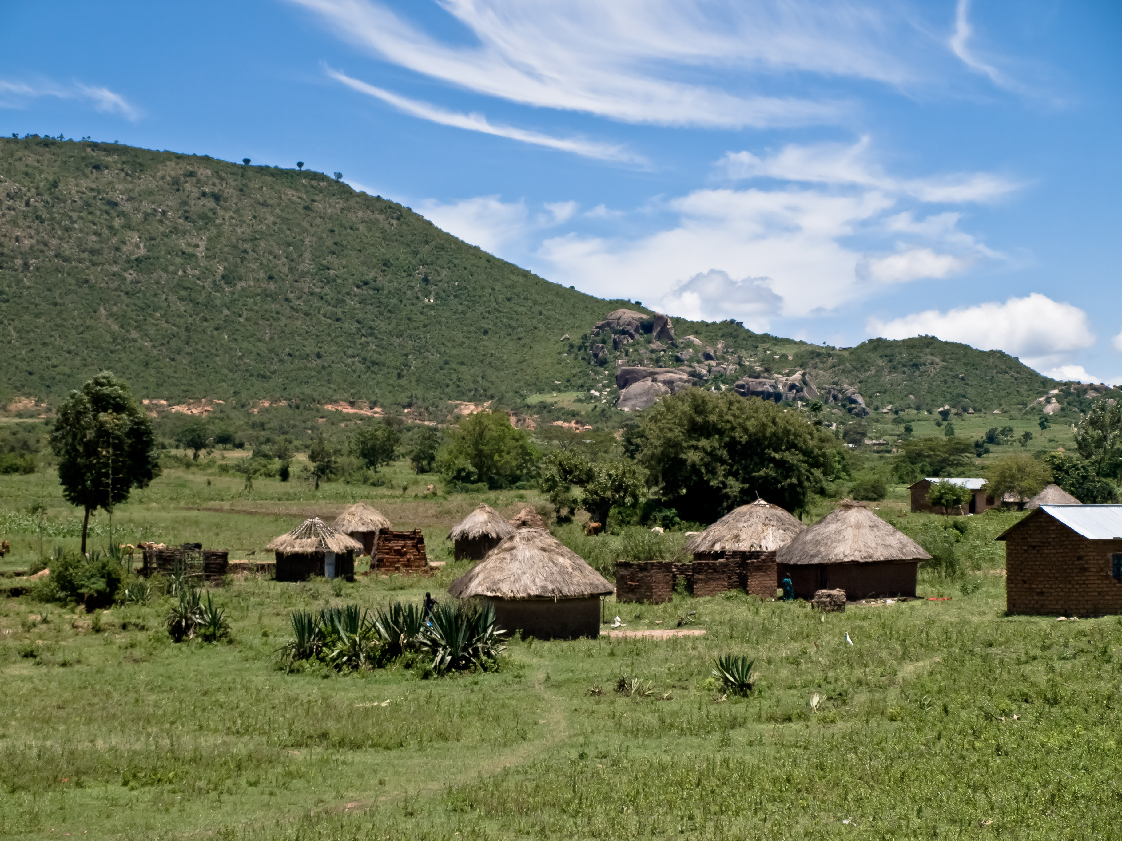
Thatched Huts
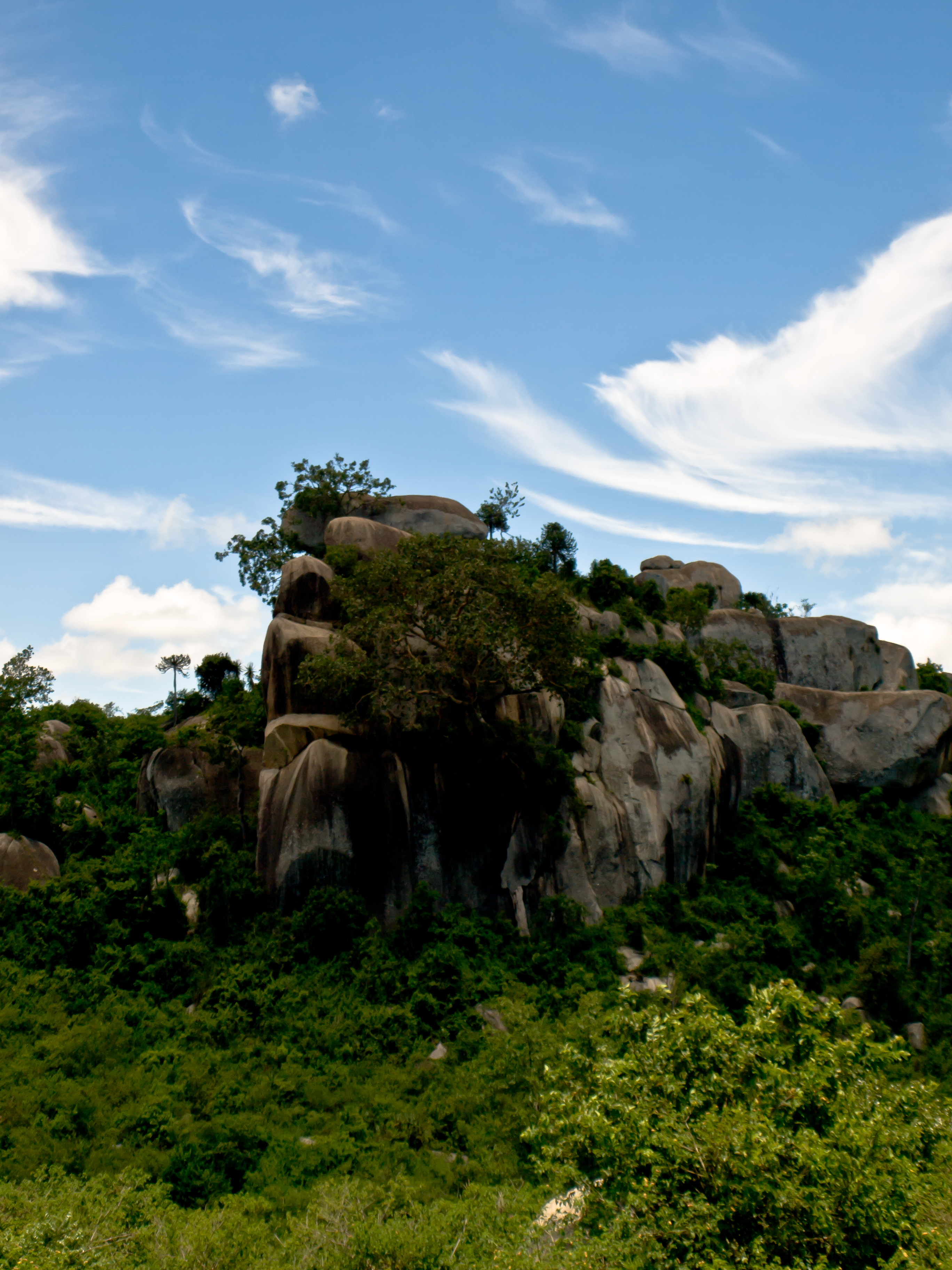
Rocky Outcrop
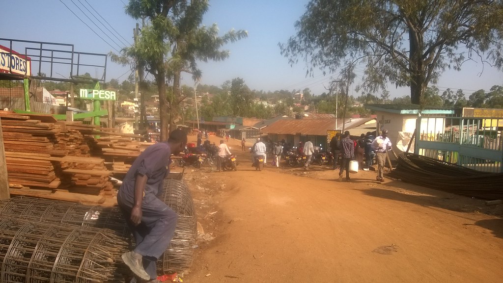
WP_20150815_003(1)

Signage around the campus #KenyaRelief2012

Sandy Boultinghouse and Pastor Johnstone Eria discussing the library. #KenyaRelief2012
Topographic Map of Migori, Kenya
Find elevation by address:

Places near Migori, Kenya:
Migori County
St. Joseph's School, Rapogi
Katieno I
Thimlich Ohinga Historic Site
Rongo
Kilgoris
Co-op Kwa Jirani Dawamu Enterprises
Enchoro Sda Church
Shirati
Homa Bay County
Kisii County
Kisii
Lolgorian Dam
Homa Bay
Ololmogi
Masai Mara National Reserve
Keroka
Kileleoni Mara Camp
Andbeyond Kichwa Tembo Tented Camp
Andbeyond Bateleur Camp
Recent Searches:
- Elevation of Zimmer Trail, Pennsylvania, USA
- Elevation of 87 Kilmartin Ave, Bristol, CT, USA
- Elevation of Honghe National Nature Reserve, QP95+PJP, Tongjiang, Heilongjiang, Jiamusi, Heilongjiang, China
- Elevation of Hercules Dr, Colorado Springs, CO, USA
- Elevation of Szlak pieszy czarny, Poland
- Elevation of Griffing Blvd, Biscayne Park, FL, USA
- Elevation of Kreuzburger Weg 13, Düsseldorf, Germany
- Elevation of Gateway Blvd SE, Canton, OH, USA
- Elevation of East W.T. Harris Boulevard, E W.T. Harris Blvd, Charlotte, NC, USA
- Elevation of West Sugar Creek, Charlotte, NC, USA