Elevation of Mie District, Mie Prefecture, Japan
Location: Japan > Mie Prefecture >
Longitude: 136.476
Latitude: 35.046
Elevation: 227m / 745feet
Barometric Pressure: 99KPa
Elevation Map:
Satellite Map:
Related Photos:

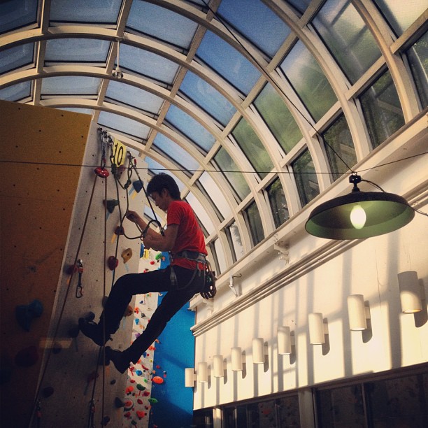
Girl to Climb The Mount Gozaisho
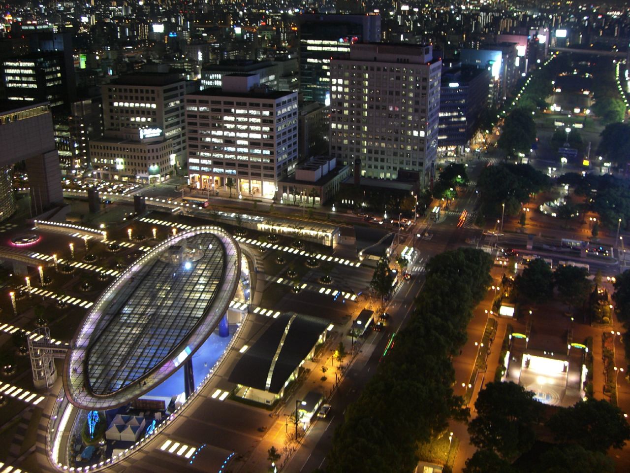
Oasis 21
View from the top.
樹氷の森
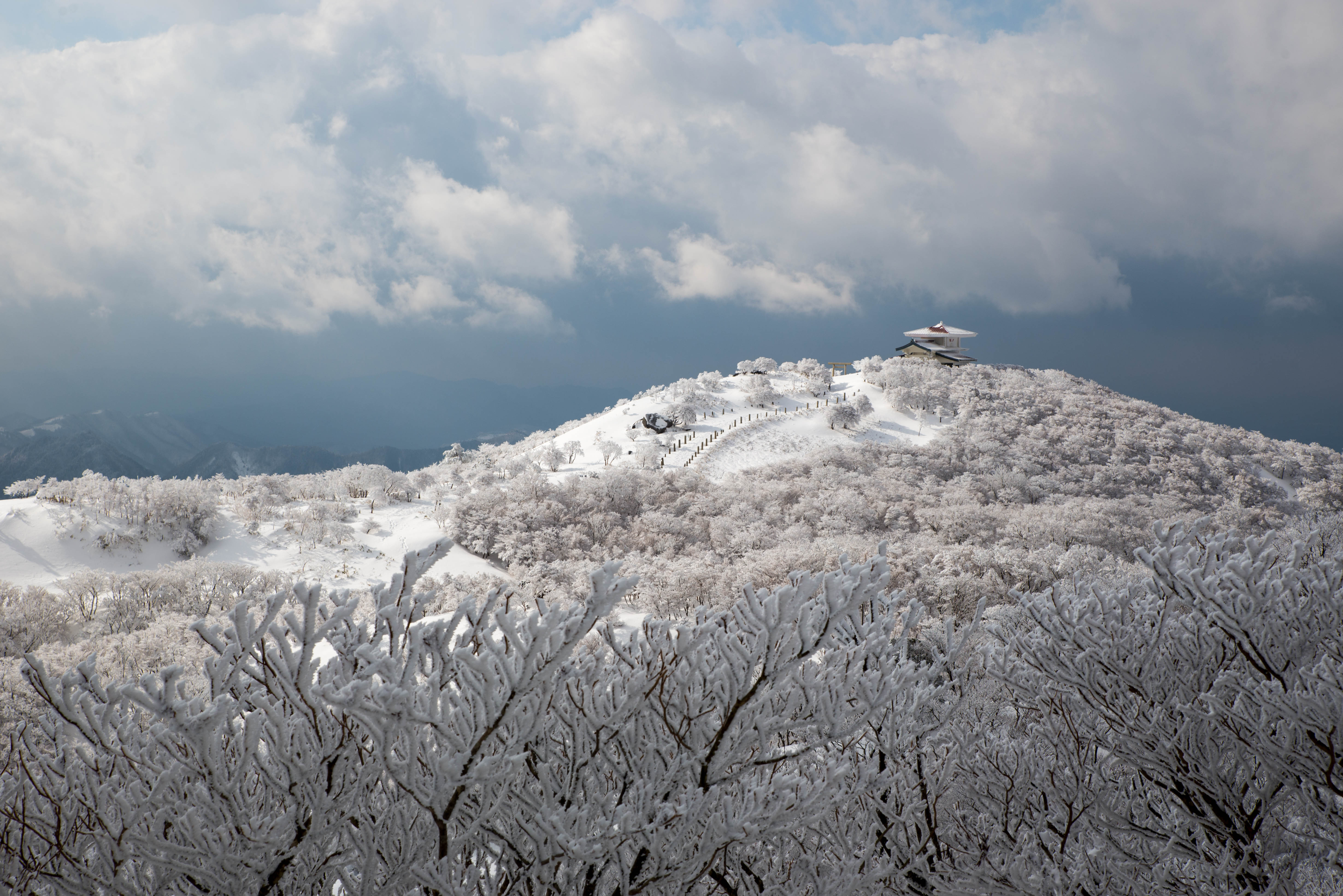
御在所山上公園 Gozaisho Park
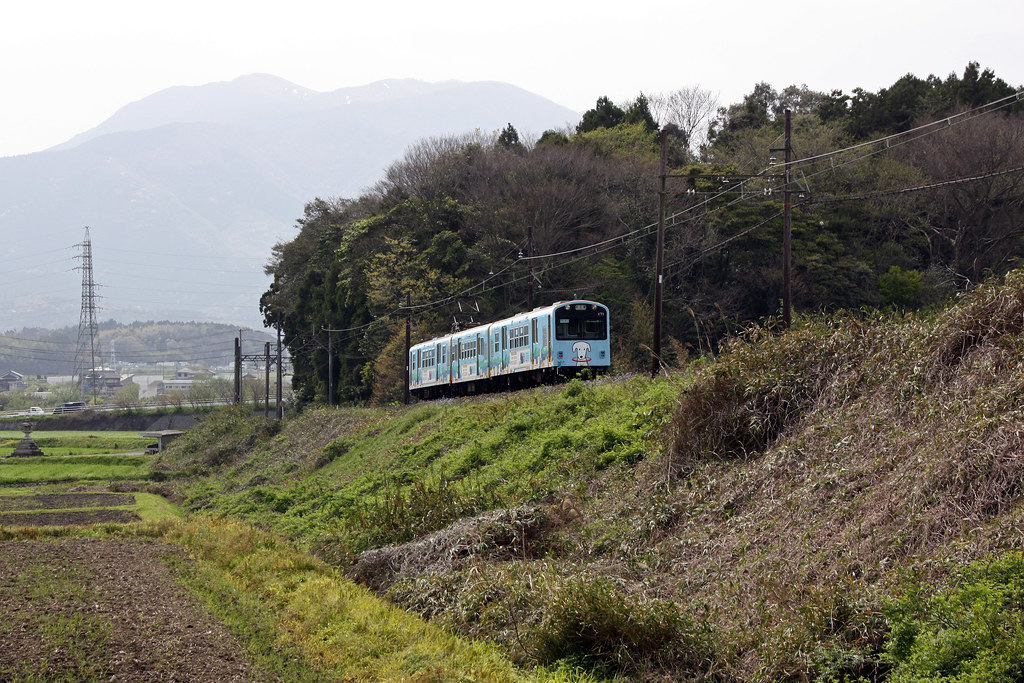
Sangi Railway Hokusei Line 三岐鉄道北勢線 - Sohara
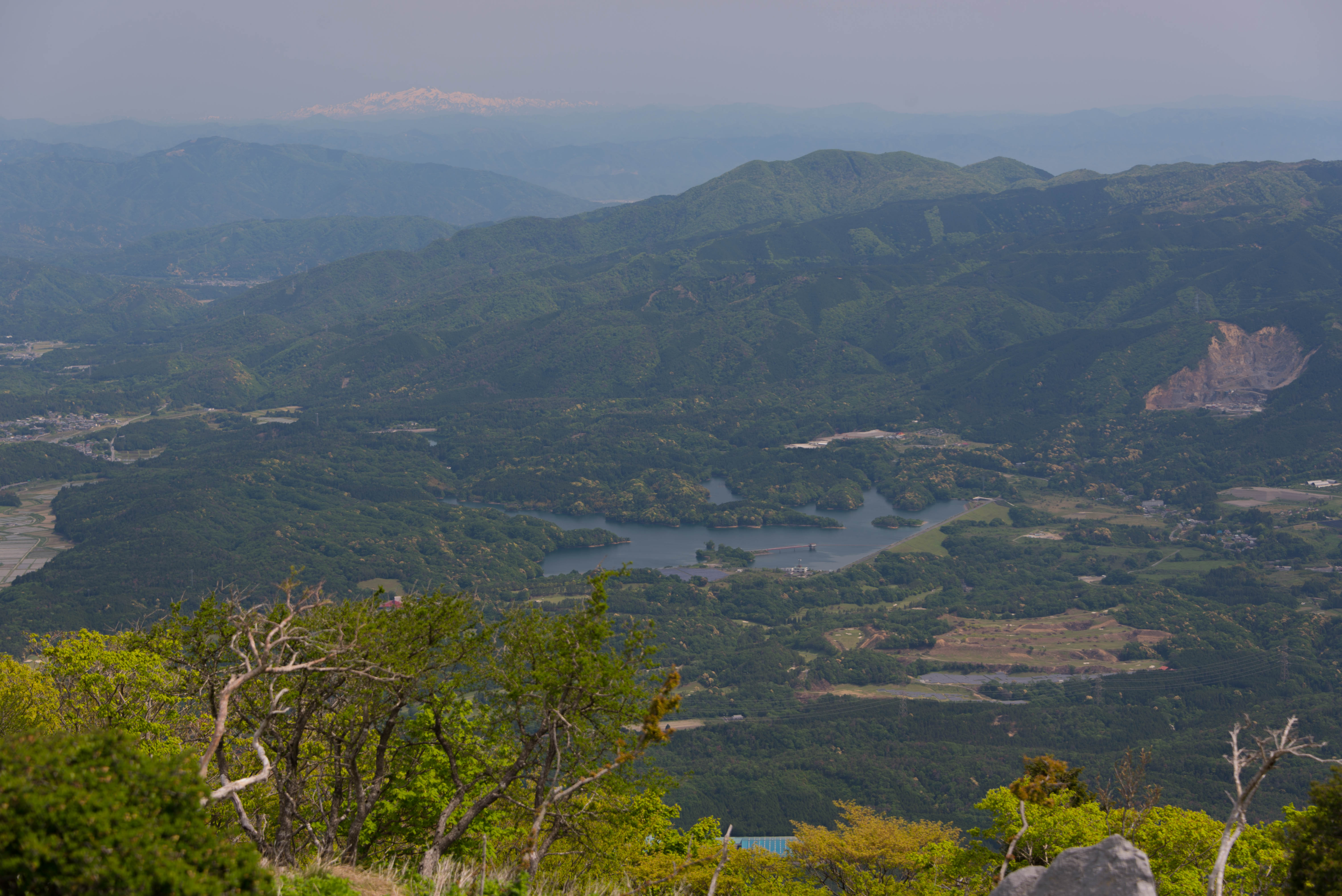
藤原岳から見る乗鞍岳
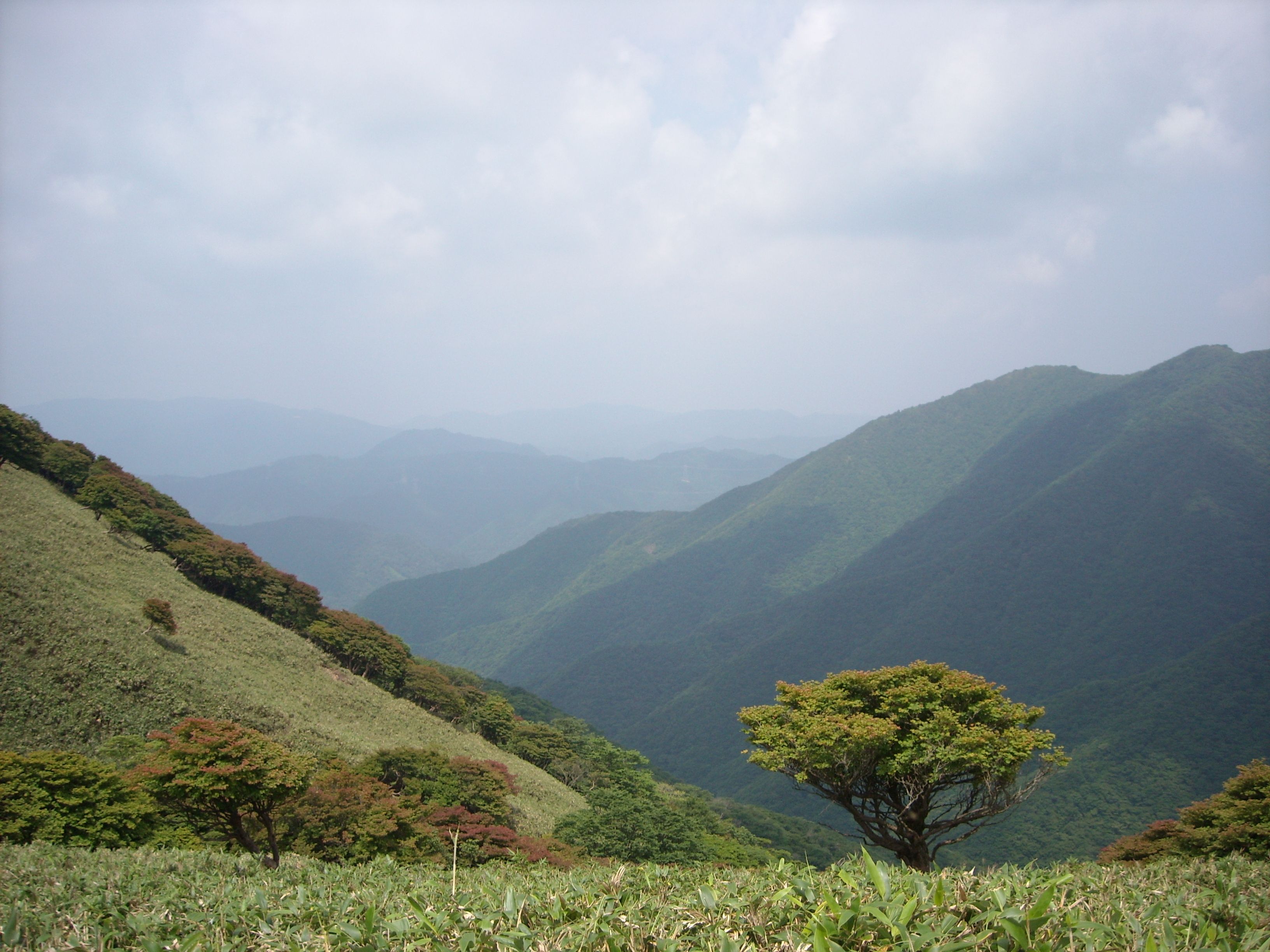
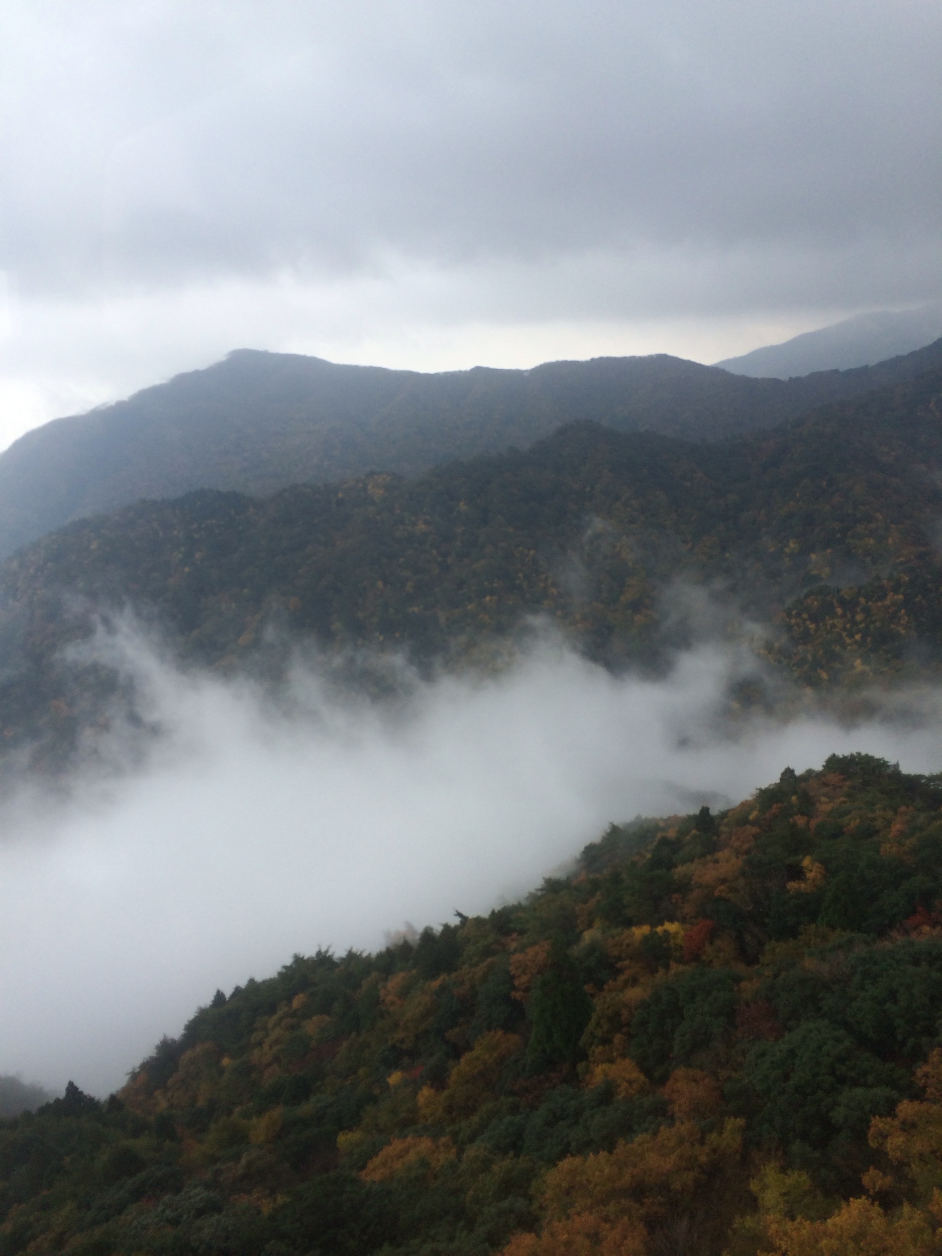
谷と山

御在所山上公園 Gozaisho Park
御在所ロープウェイ
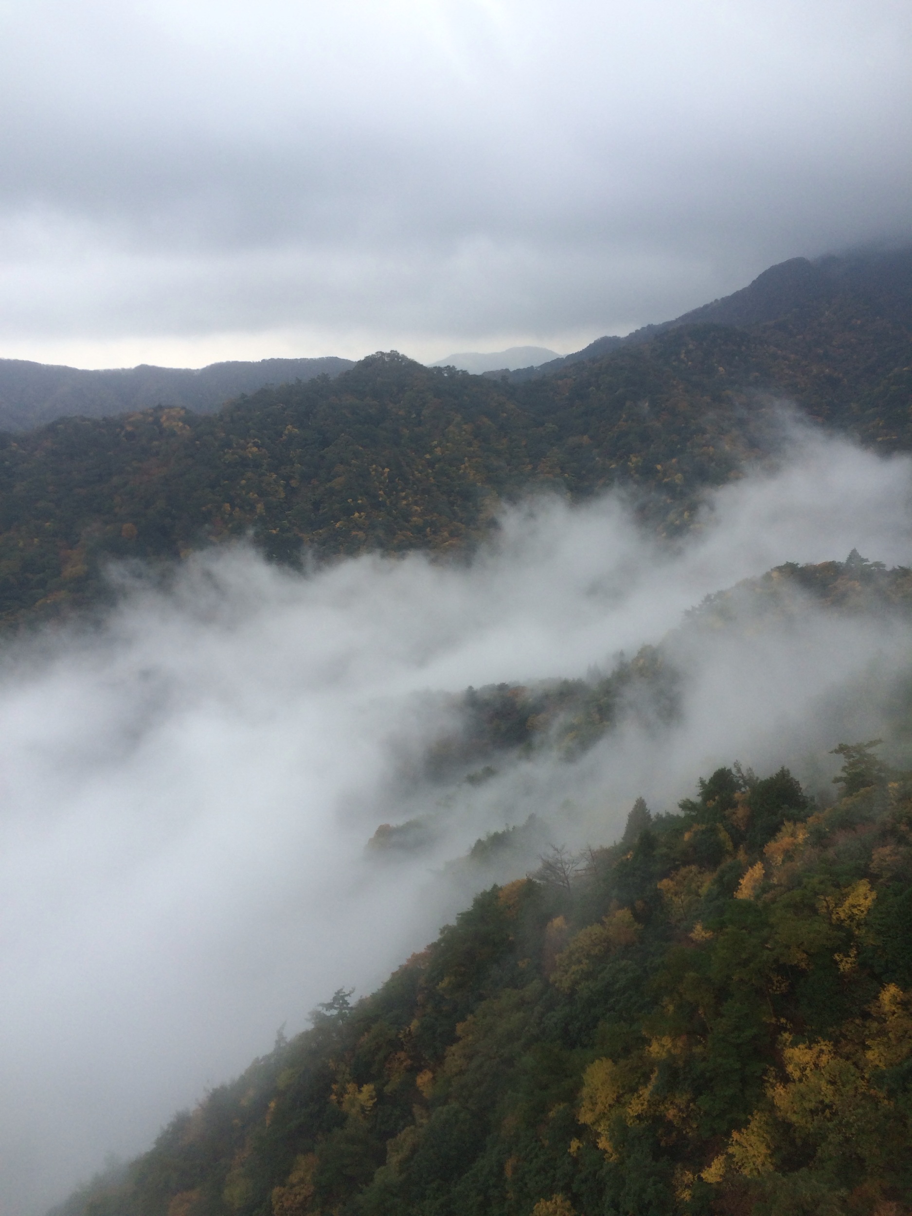
Autumn mountain #2

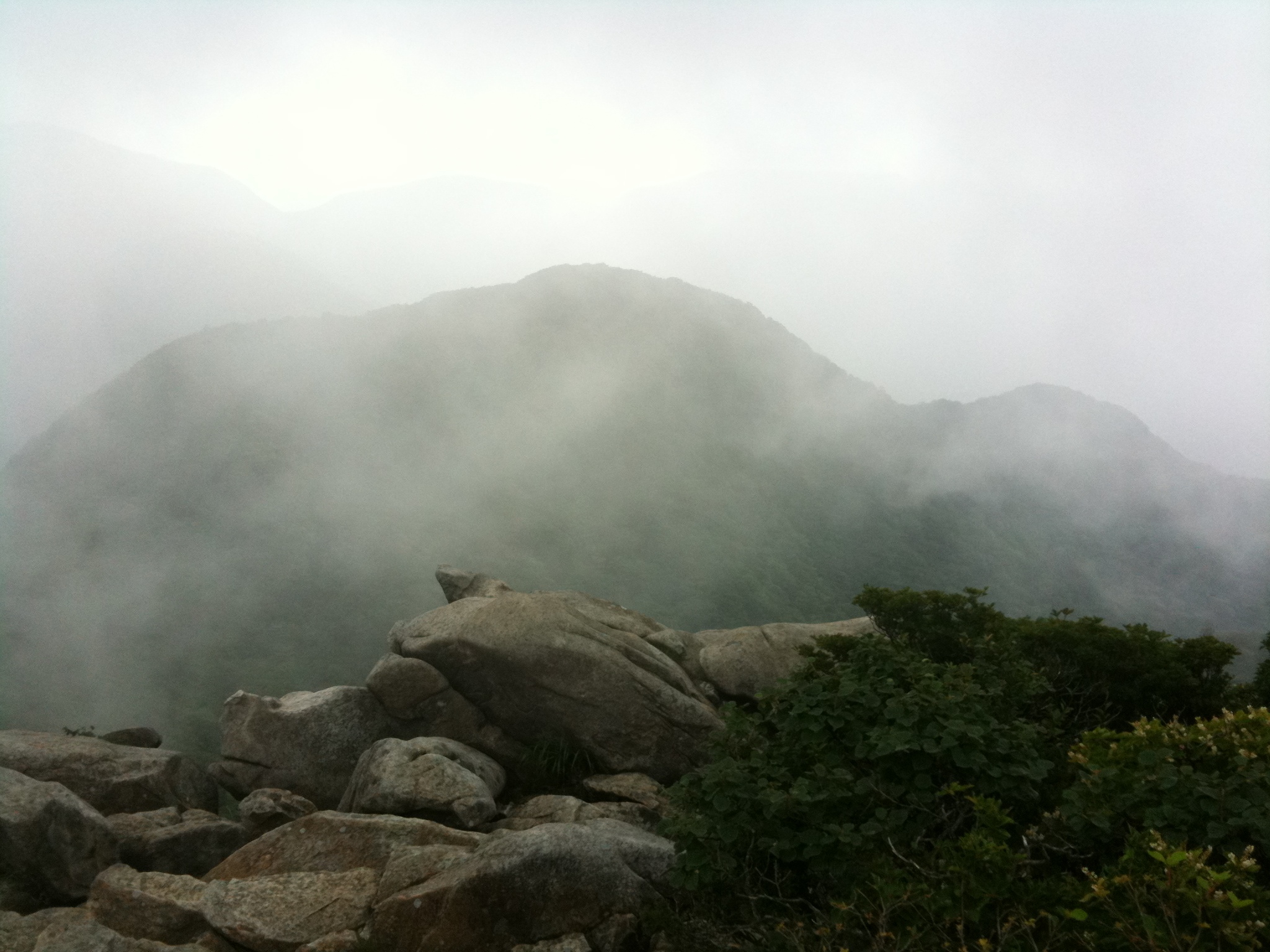
雨乞岳
きいろとぴんく

目の前の山はあまり白くない
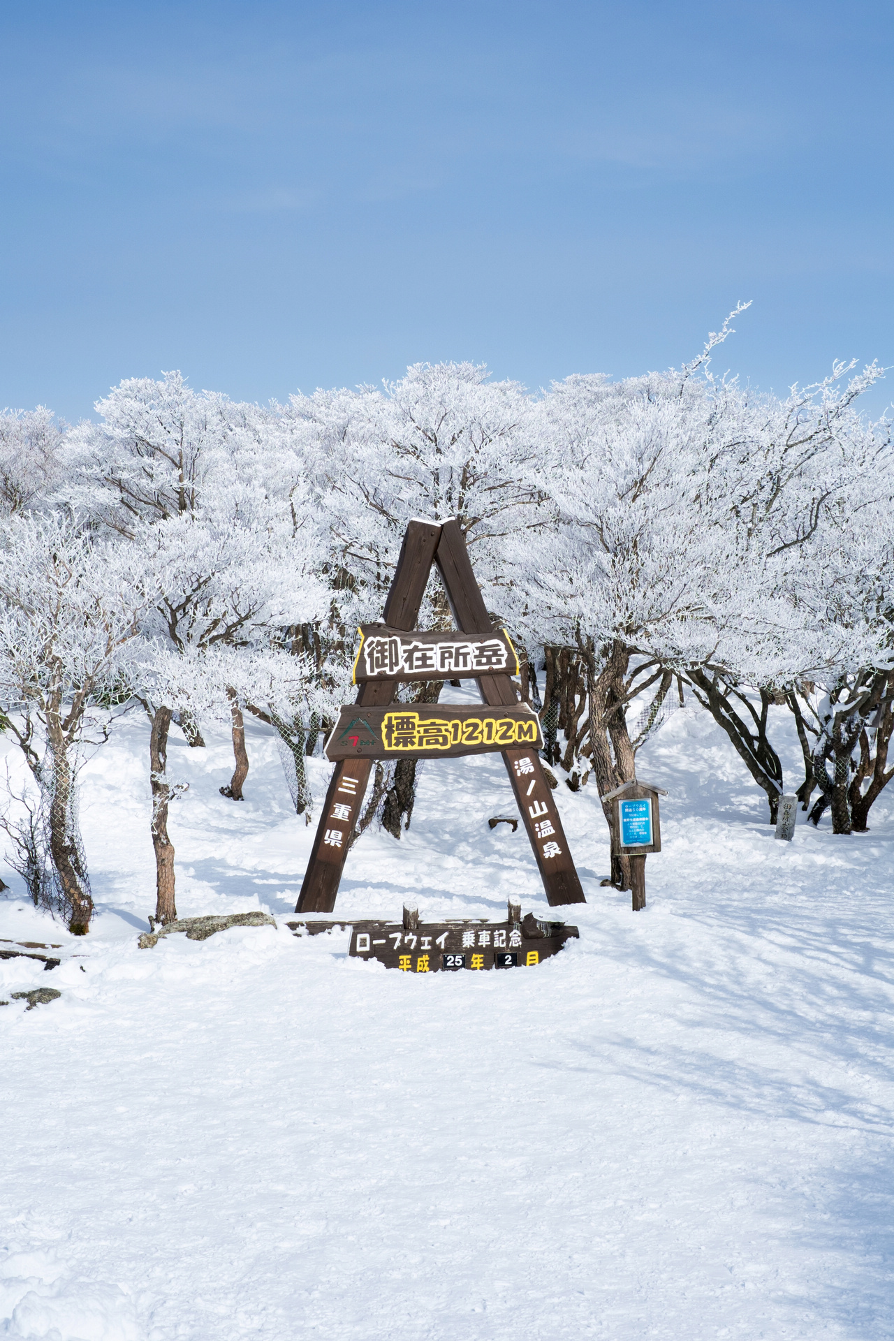
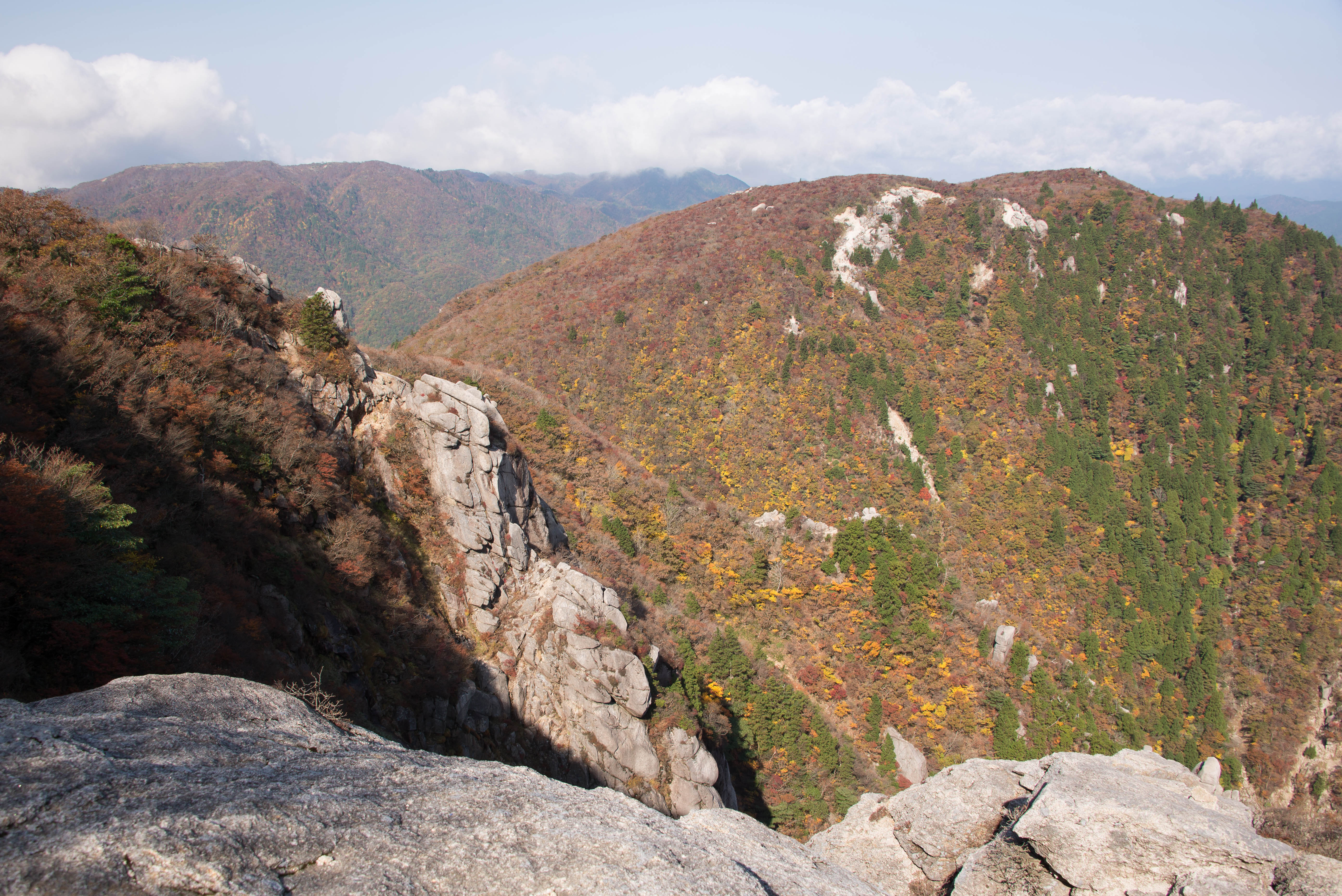
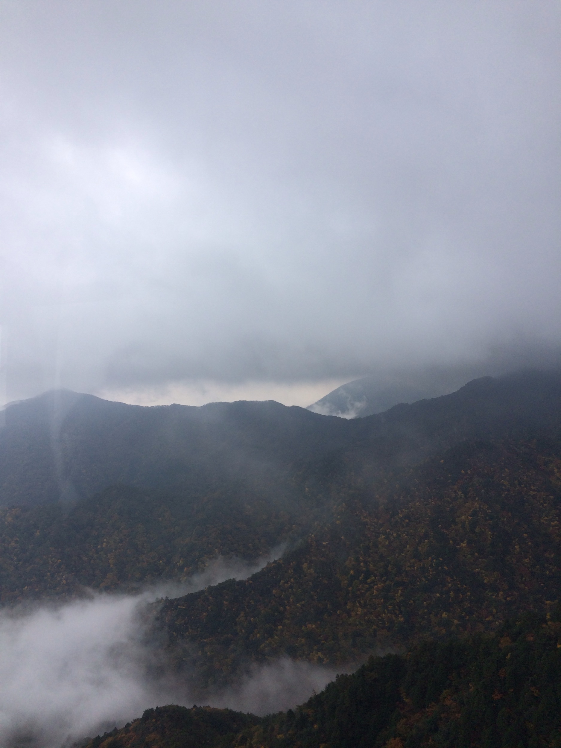
御在所岳 Gozaishodake
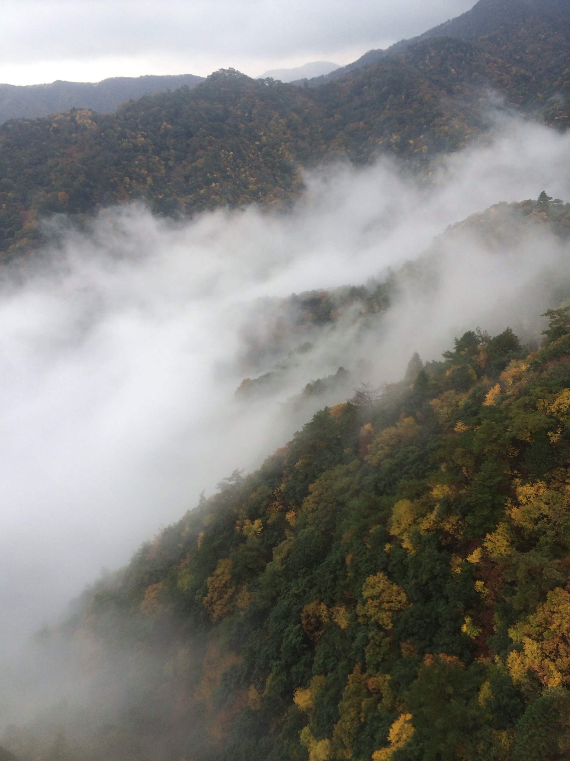
御在所岳 Gozaishodake
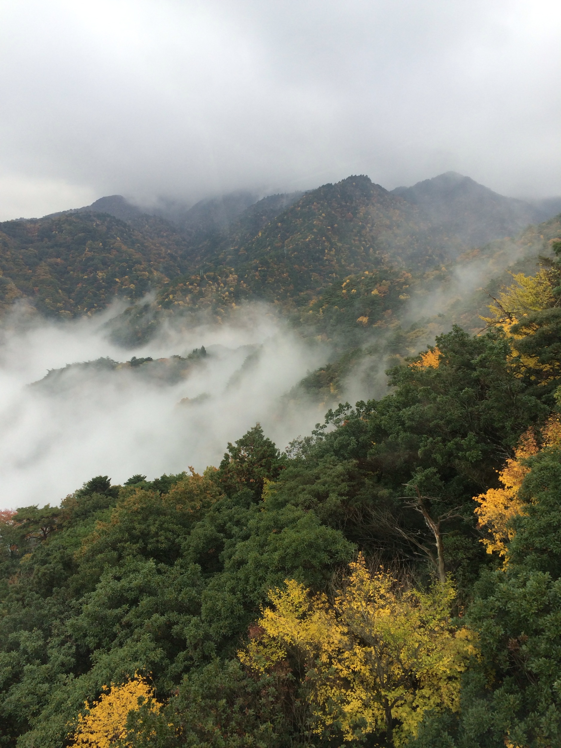
御在所岳 Gozaishodake
御在所岳 Gozaishodake
御在所岳 Gozaishodake
新緑。
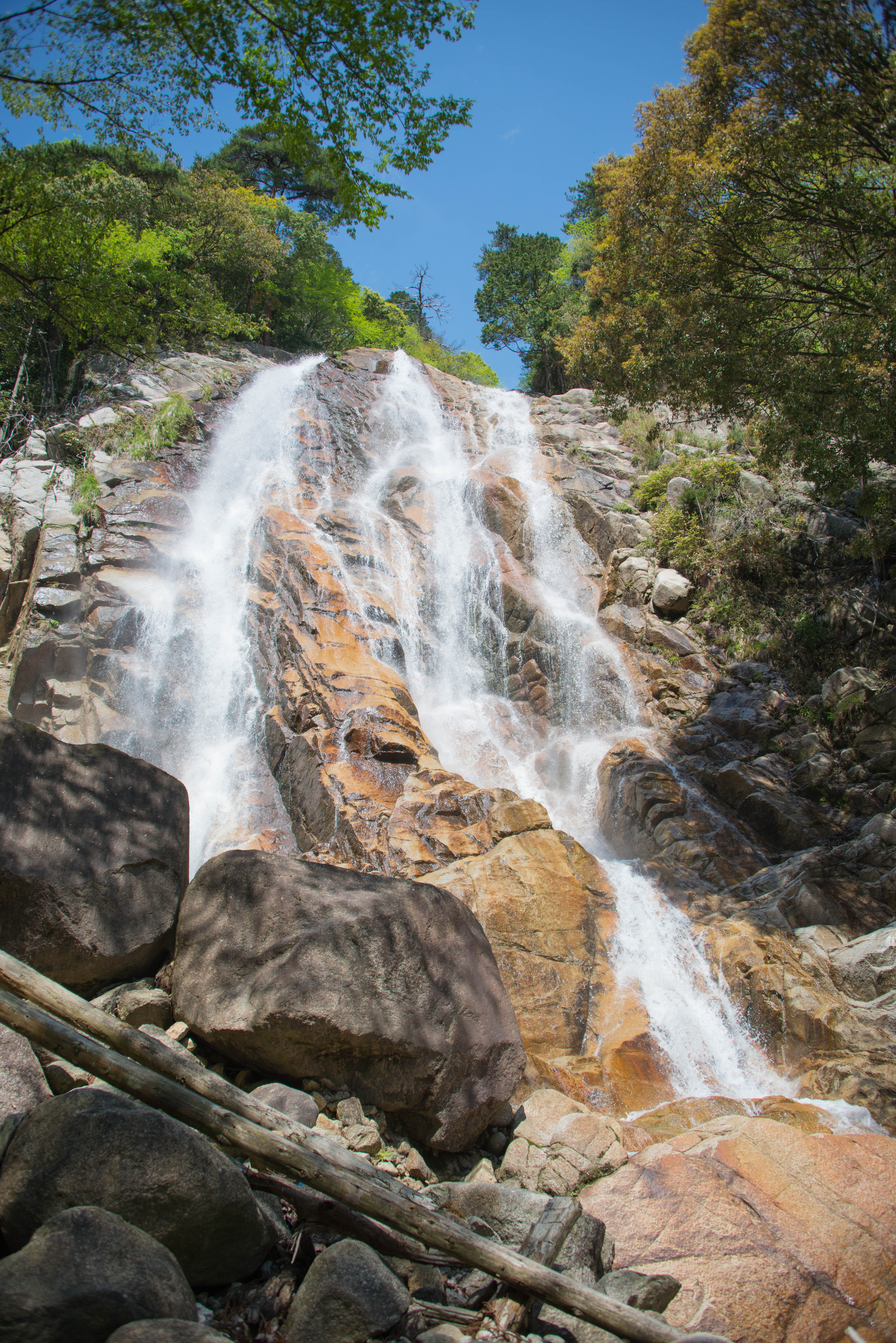
蒼滝

2011.10.09 御在所山

2011.06.25 鎌尾根 Kama-one
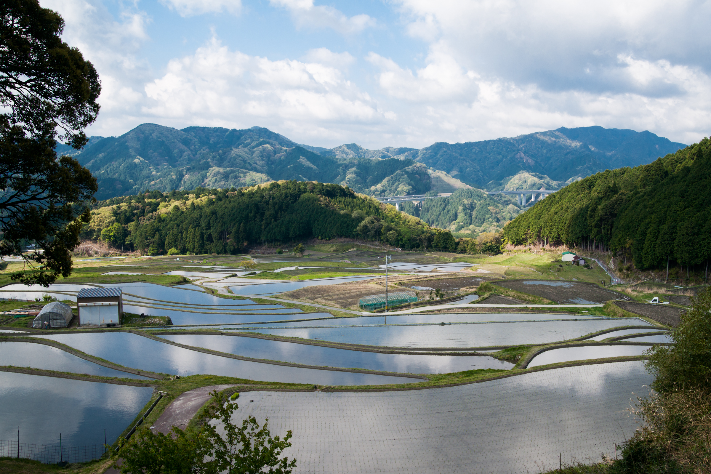
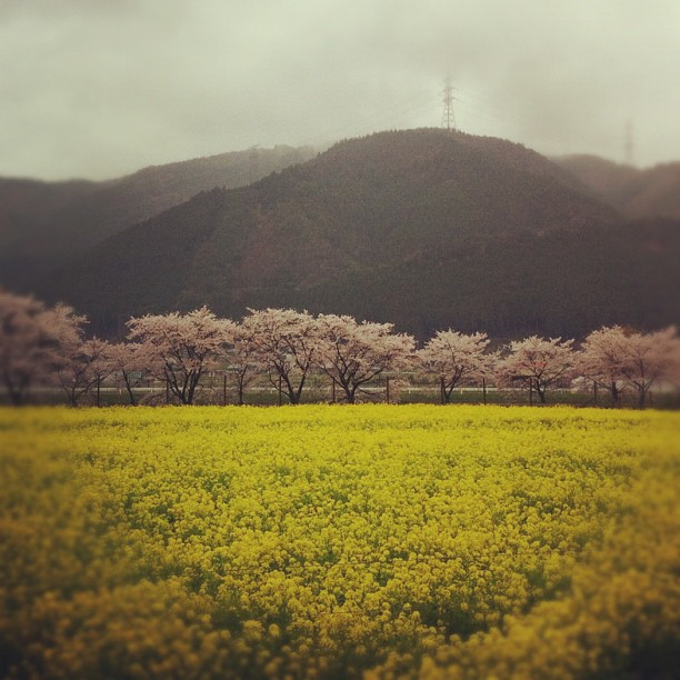
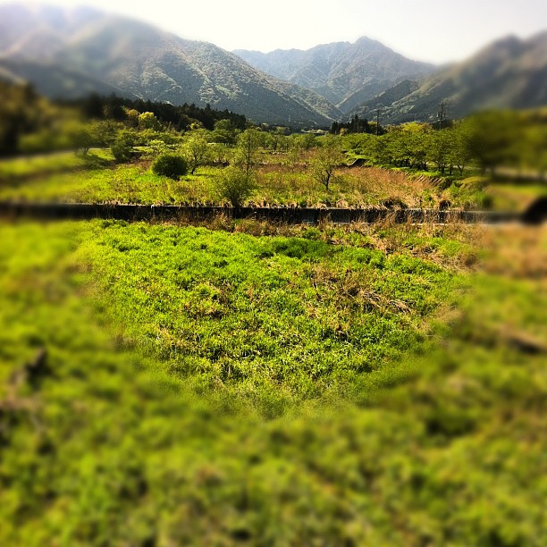
坂本棚田 sakamoto tanada
Topographic Map of Mie District, Mie Prefecture, Japan
Find elevation by address:

Places in Mie District, Mie Prefecture, Japan:
Places near Mie District, Mie Prefecture, Japan:
Komono
御在所ロープウエイ株式会社
8609 Komono
Komono
-3 Ōgohara, Komono-chō, Mie-gun, Mie-ken -, Japan
Kawakita, Komono-chō, Mie-gun, Mie-ken -, Japan
Chishakucho
Yuyukaikan Bus Stop
Inabe
Toin
Hokuseichō Ageki, Inabe-shi, Mie-ken -, Japan
Inabe District
Fujiwarachō Ishikawa, Inabe-shi, Mie-ken -, Japan
Roppano Shinden, Tōin-chō, Inabe-gun, Mie-ken -, Japan
2 Chome- Hoshimigaoka, Kuwana-shi, Mie-ken -, Japan
2 Chome- Hidamarinooka, Kuwana-shi, Mie-ken -, Japan
Tadochō Mizono, Kuwana-shi, Mie-ken -, Japan
8-9 Mochibukuchō, Yokkaichi-shi, Mie-ken -, Japan
Obuke, Asahi-chō, Mie-gun, Mie-ken -, Japan
Asahi
Recent Searches:
- Elevation of Unnamed Road, Respublika Severnaya Osetiya — Alaniya, Russia
- Elevation of Verkhny Fiagdon, North Ossetia–Alania Republic, Russia
- Elevation of F. Viola Hiway, San Rafael, Bulacan, Philippines
- Elevation of Herbage Dr, Gulfport, MS, USA
- Elevation of Lilac Cir, Haldimand, ON N3W 2G9, Canada
- Elevation of Harrod Branch Road, Harrod Branch Rd, Kentucky, USA
- Elevation of Wyndham Grand Barbados Sam Lords Castle All Inclusive Resort, End of Belair Road, Long Bay, Bridgetown Barbados
- Elevation of Iga Trl, Maggie Valley, NC, USA
- Elevation of N Co Rd 31D, Loveland, CO, USA
- Elevation of Lindever Ln, Palmetto, FL, USA