Elevation of Middle Rd, Hilliard, FL, USA
Location: United States > Florida > Nassau County > Hilliard >
Longitude: -81.822331
Latitude: 30.75081
Elevation: 3m / 10feet
Barometric Pressure: 101KPa
Elevation Map:
Satellite Map:
Related Photos:

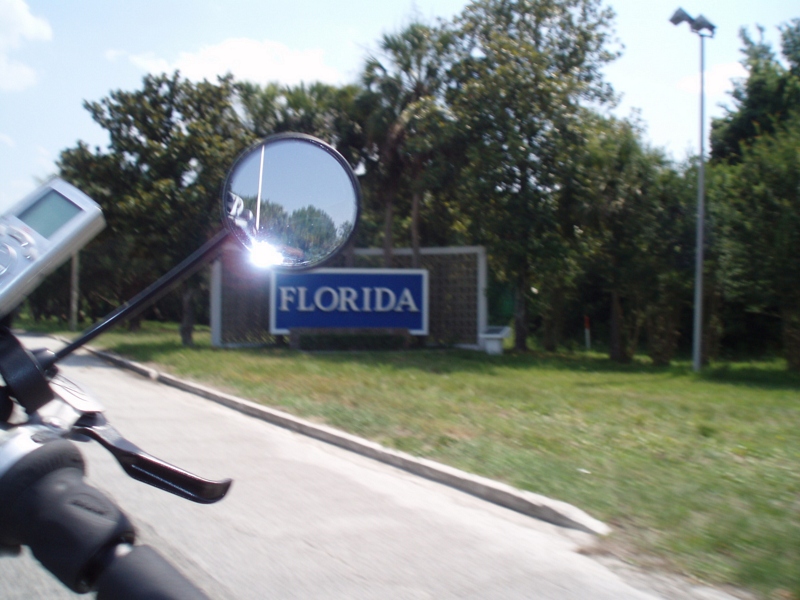
Crossing Into Florida II

DON'T FORGET THE SOUVENIRS
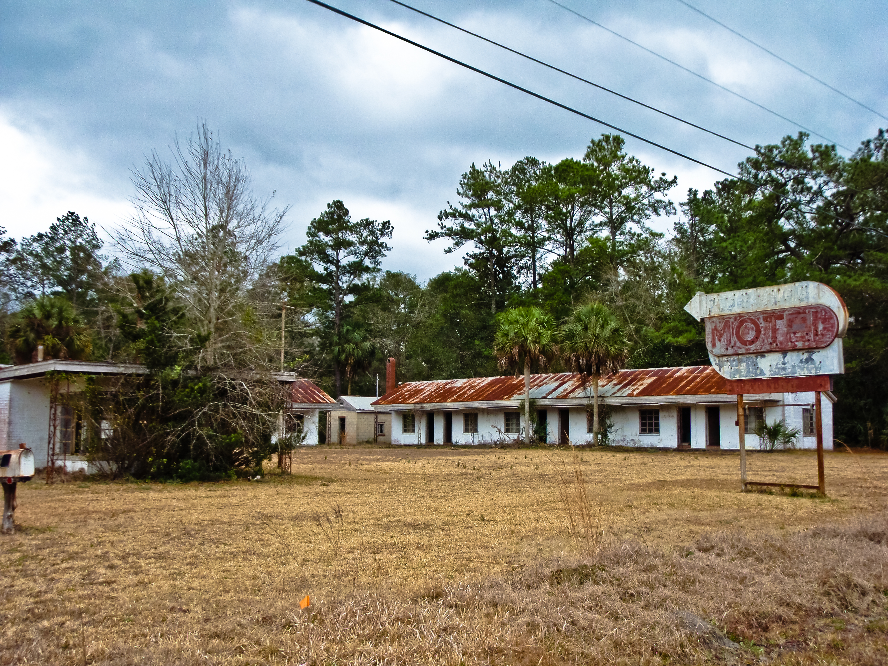
BORDER MOTEL

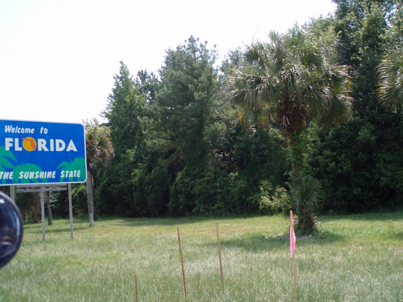
Entering Florida

Entering Florida
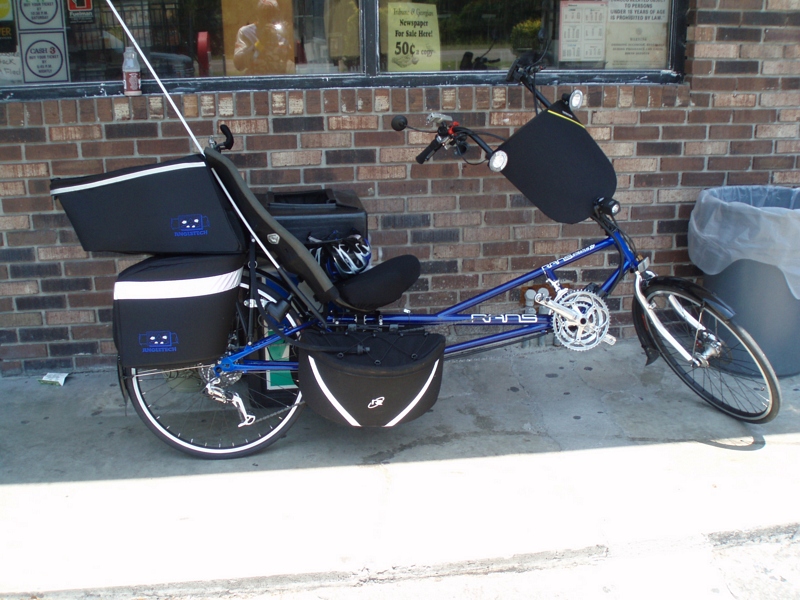
Time for hydration--again!
Our 4th state in as many days
Our last state--now to bike the length of FL--Tropical storm on the way...

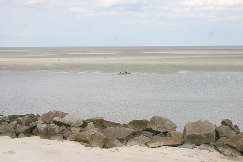
St. Marys River

St Marys River
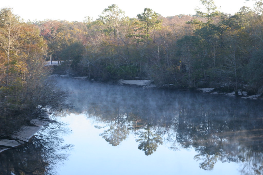
middle St. Mary's River
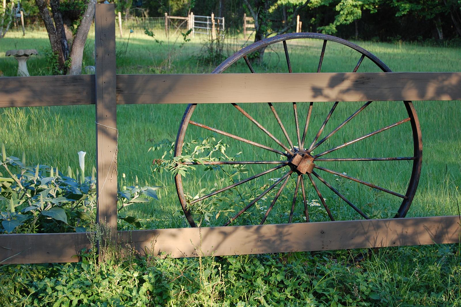
Wagon Wheel
St. Marys River

Wide open road

Steel Truss Bridge (IR)

Sunset at the Florida state line! #miamibound #roadtrip
Hunt Club
St. Simon's Island, Georgia
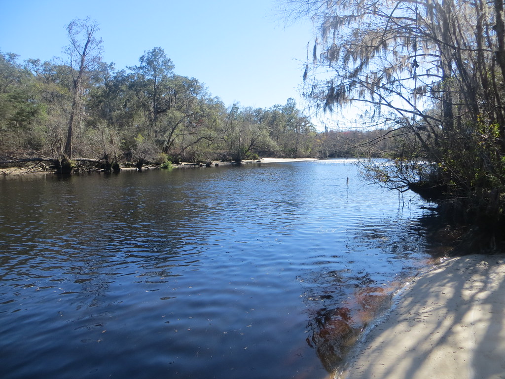
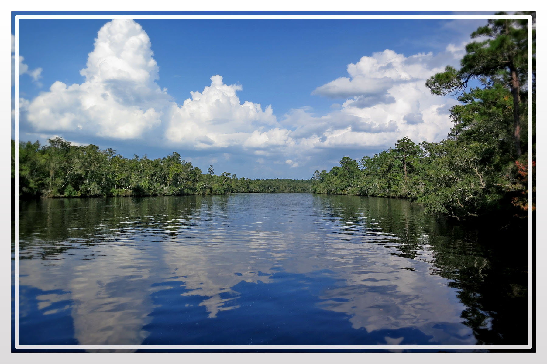
St Mary's River 2 Charlton Co GA
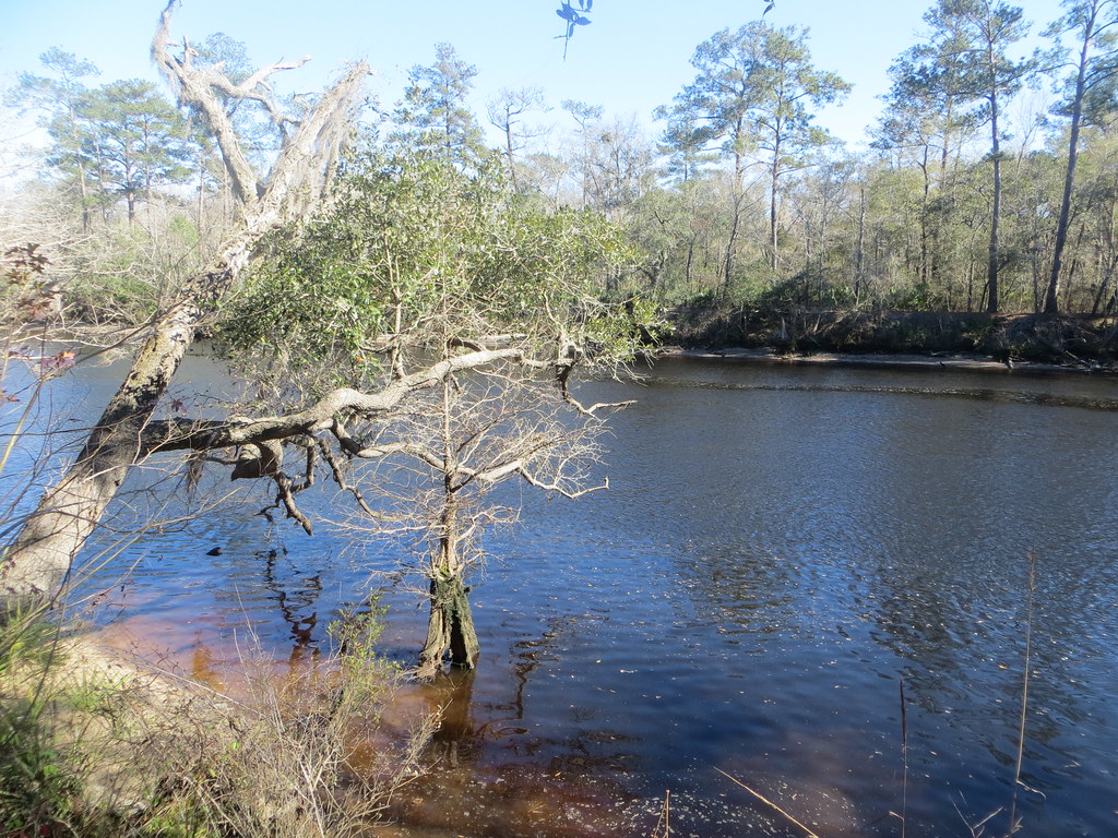
St Mary's River 1 Charlton Co GA
Topographic Map of Middle Rd, Hilliard, FL, USA
Find elevation by address:

Places near Middle Rd, Hilliard, FL, USA:
481424 Haddock Rd
48548 Haddock Rd
47944 Turkey Town Ln
Coopers Neck Rd, Hilliard, FL, USA
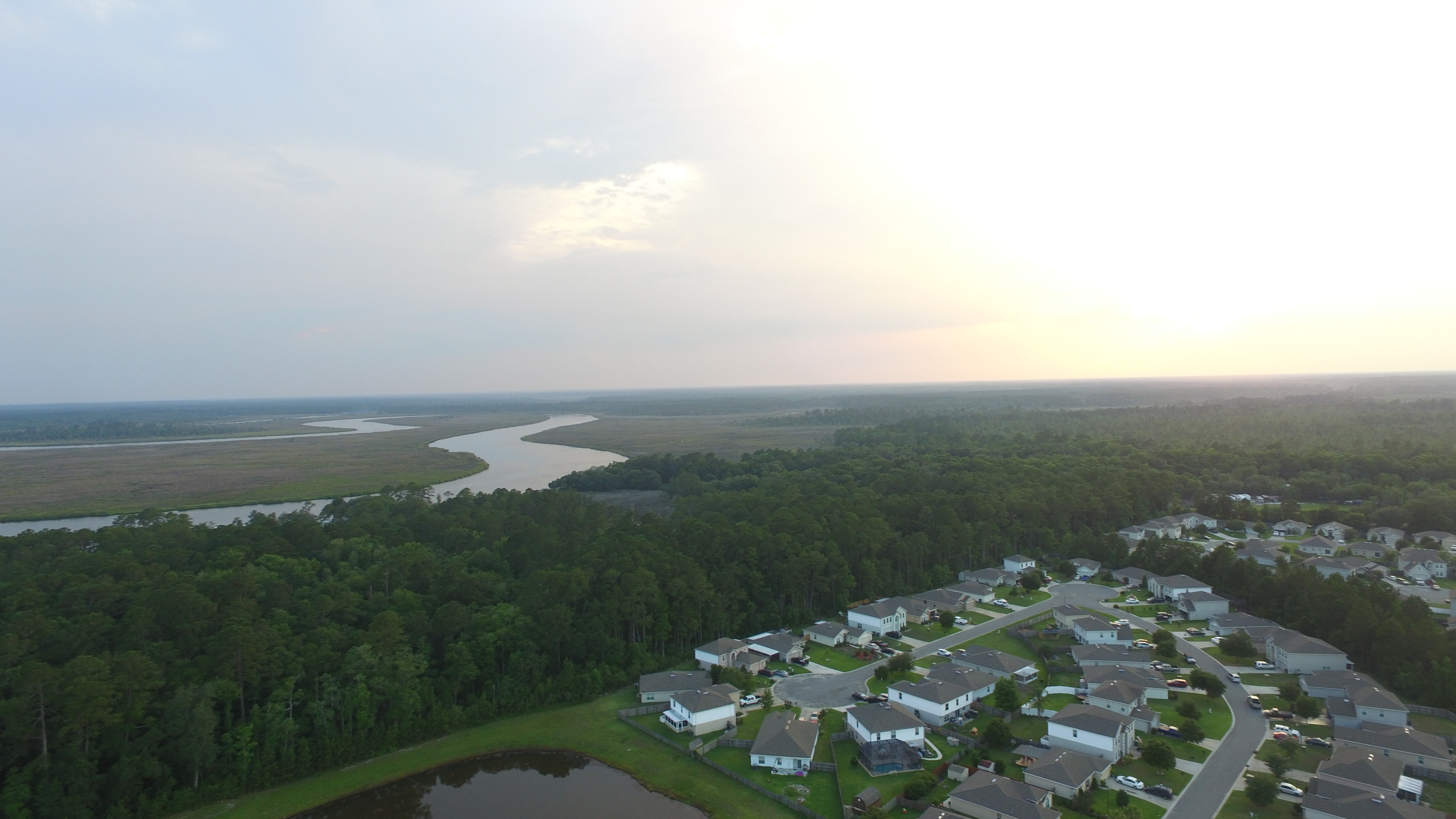
White Oak Conservation
Co Rd, Yulee, FL, USA
Evergreen
Dutch Trl, Callahan, FL, USA
153192 Co Rd 108
Holiday Drive
Old Dixie Highway
56548 Nassau Oaks Dr
56093 Nassau Oaks Dr
36206 Gage Rd
2 Co Rd 115
2 Co Rd 115
US-17, Yulee, FL, USA
Nassau County
Callahan Middle School
45044 Musslewhite Rd
Recent Searches:
- Elevation of Gateway Blvd SE, Canton, OH, USA
- Elevation of East W.T. Harris Boulevard, E W.T. Harris Blvd, Charlotte, NC, USA
- Elevation of West Sugar Creek, Charlotte, NC, USA
- Elevation of Wayland, NY, USA
- Elevation of Steadfast Ct, Daphne, AL, USA
- Elevation of Lagasgasan, X+CQH, Tiaong, Quezon, Philippines
- Elevation of Rojo Ct, Atascadero, CA, USA
- Elevation of Flagstaff Drive, Flagstaff Dr, North Carolina, USA
- Elevation of Avery Ln, Lakeland, FL, USA
- Elevation of Woolwine, VA, USA